Experience the Ultimate Outdoor Thrill on this Helvellyn Circular Walk
Begin your Helvellyn circular walk at Legburthwaite, located in St Johns-in-the-Vale, near the northern tip of Thirlmere. Park in the Legburthwaite Car Park, nestled in a small wooded area beside the B5322 road, just north of its junction with the A591. From here, walk south along the B5322, passing The Lodge in the Vale, then turn left onto Stanah Lane.
Follow Stanah Lane through the hamlet of Stanah, where your ascent commences. The steep climb stretches for about 1¼ miles up to Sticks Pass. At the Sticks Pass crossroads, turn right and head south, beginning your climb to the summit of Raise. Then, descend slightly before embarking on a gradual ascent to White Side.
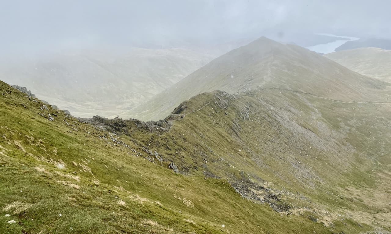
Continue south, descending then climbing to Helvellyn’s Lower Man. Subsequently, veer south-east towards Helvellyn’s summit. Despite its popularity and potential crowds, especially on clear days, Helvellyn offers some of the Lake District’s most stunning panoramas, including the breathtaking view down to Red Tarn, nestled between Swirral Edge and Striding Edge.
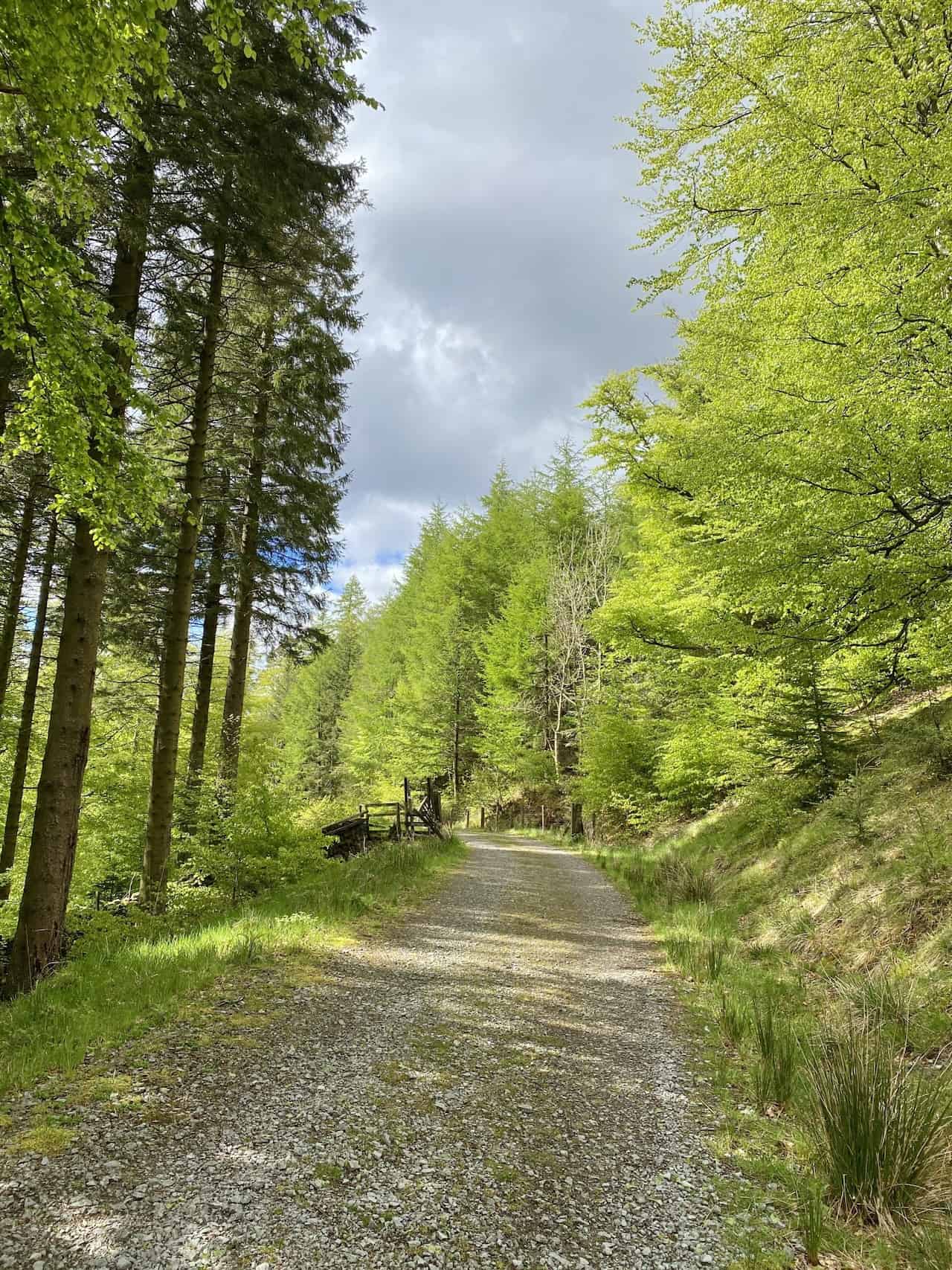
Proceed south along the ridge until reaching a fork; here, take the right fork, heading south-west over High Crags, then descend to Birk Side. The descent above Comb Craggs offers spectacular views towards Thirlmere. Continue descending, now steeply, into woodland. Here, you’ll encounter a stone track leading north through the trees for about two miles to Swirls Car Park.
From Swirls Car Park, follow the path to Thirlmere’s shores, then walk north along the reservoir banks towards Greathow Wood. Circumvent the wood’s eastern side, adjacent to How Beck, until you meet a minor road. This road leads you back to the starting car park.
This Helvellyn circular walk, spanning roughly 11¼ miles, is straightforward yet demanding. The journey, while long and strenuous, is immensely rewarding, offering unparalleled views and experiences in the Lake District.
Helvellyn Circular Walk: Maps and Tools
Visit either the OS Maps website or the Outdooractive website to view this walking route in greater detail. Both platforms offer a range of features, including the ability to print the route, download it to your device, and export the route as a GPX file. You can also watch a 3D fly-over and share the route on social media.
Helvellyn Circular Walk: Distance, Duration, Statistics
Distance: 11¼ miles
Distance: 18 kilometres
Duration: 6½ hours
Ascent: 3781 feet
Ascent: 1152 metres
Type: Circular walk
About Legburthwaite
Legburthwaite serves as an excellent starting point for the Helvellyn circular walk. It boasts a suitable car park equipped with public toilets. Positioned in the Allerdale district of Cumbria, this village lies on the B5322, close to its junction with the A591. This main thoroughfare connects Threlkeld to Grasmere, stretching from north to south. Legburthwaite, located slightly east of Thirlmere Reservoir’s far northern tip, marks the southern entrance to St Johns-in-the-Vale valley.
Nestled below Watson’s Dodd’s steep western slopes, the village also lies at High Rigg’s southern end. St John’s Beck meanders northward through the valley, defining the landscape of St Johns-in-the-Vale. This glacial valley is framed by the ridge that includes Clough Head, Great Dodd, and Watson’s Dodd to the east, and by the modest range featuring Low Rigg and High Rigg to the west.
Recommended Ordnance Survey Map
The best map to use on this walk is the Ordnance Survey map of the Lake District North-Eastern Area, reference OS Explorer OL5, scale 1:25,000. It clearly displays footpaths, rights of way, open access land and vegetation on the ground, making it ideal for walking, running and hiking. The map can be purchased from Amazon in either a standard, paper version or a weatherproof, laminated version, as shown below.
Standard Version
Helvellyn Circular Walk: My Photos
The start of the climb to Sticks Pass near Stanah.
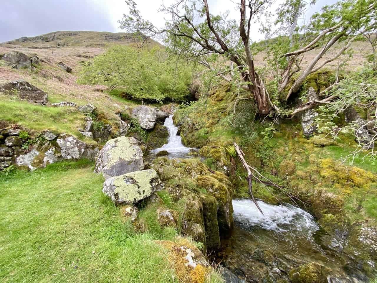
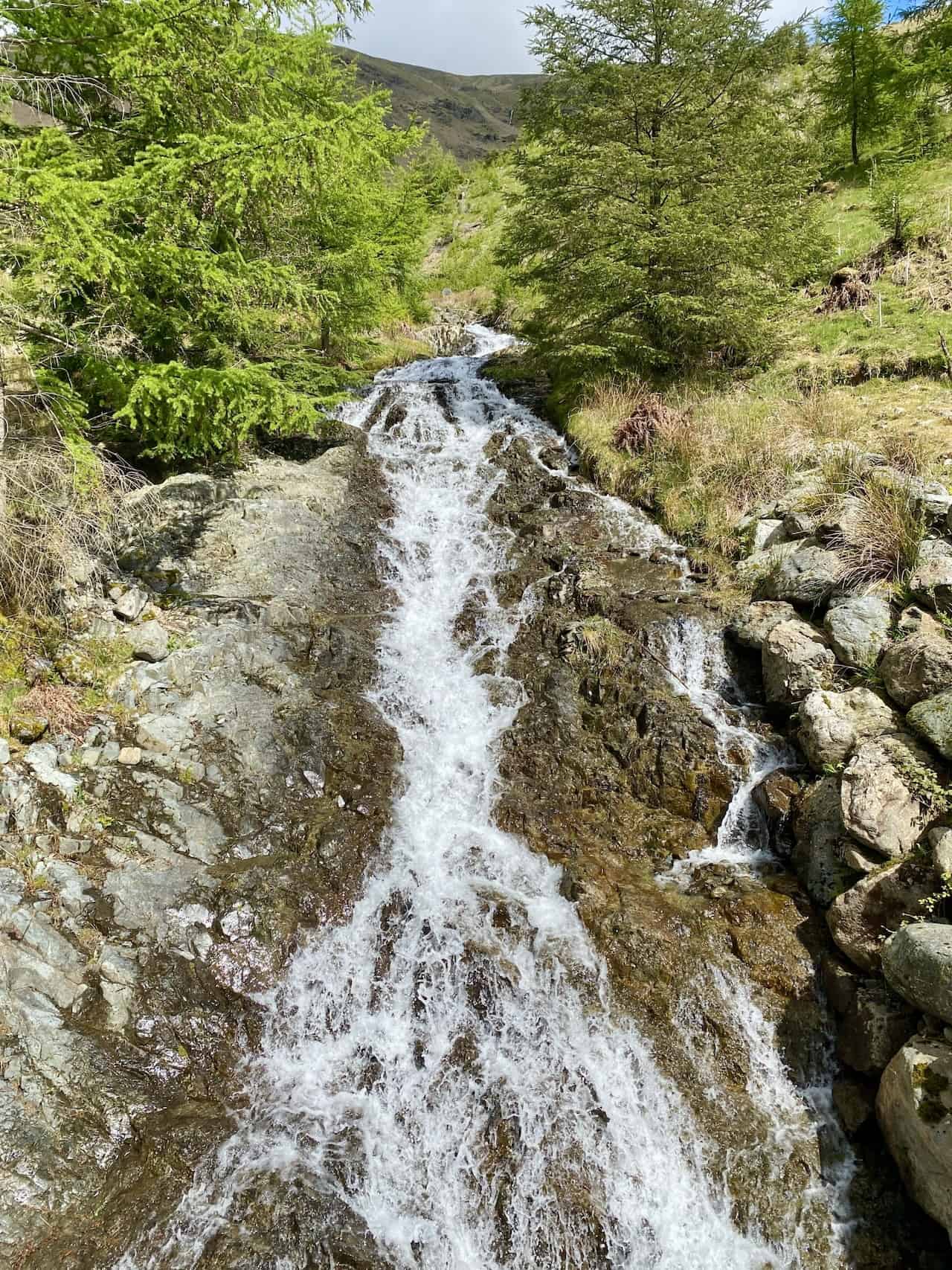
Waterfall created by Stanah Gill.
The view north-west towards High Rigg, with the cloud-topped Skiddaw range of mountains in the far distance.
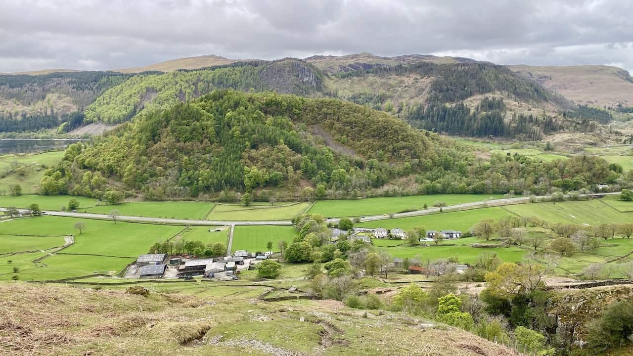
Looking down upon Stybeck Farm and Stanah. The tree-covered hill is Great How, backed by Raven Crag and The Benn.
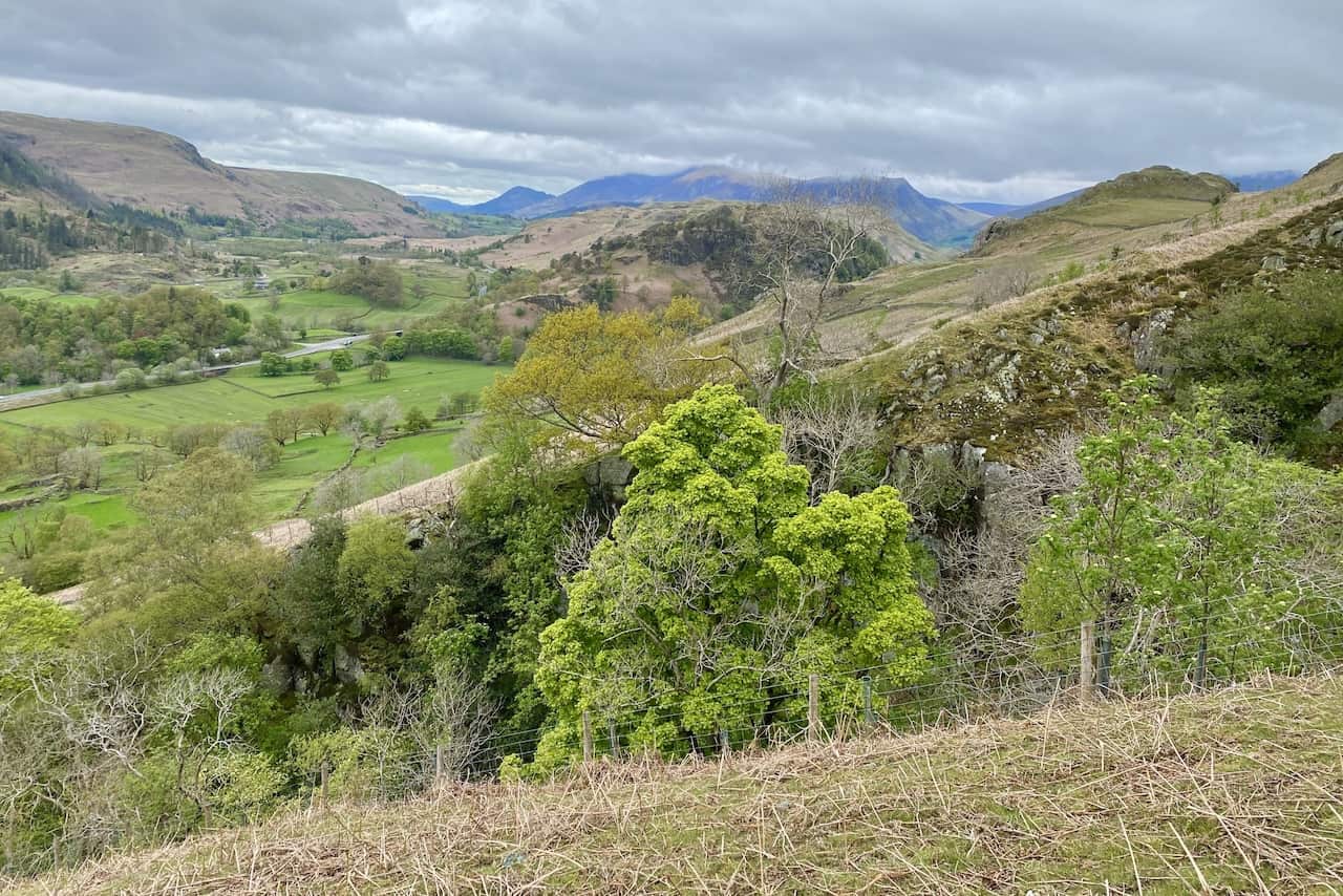
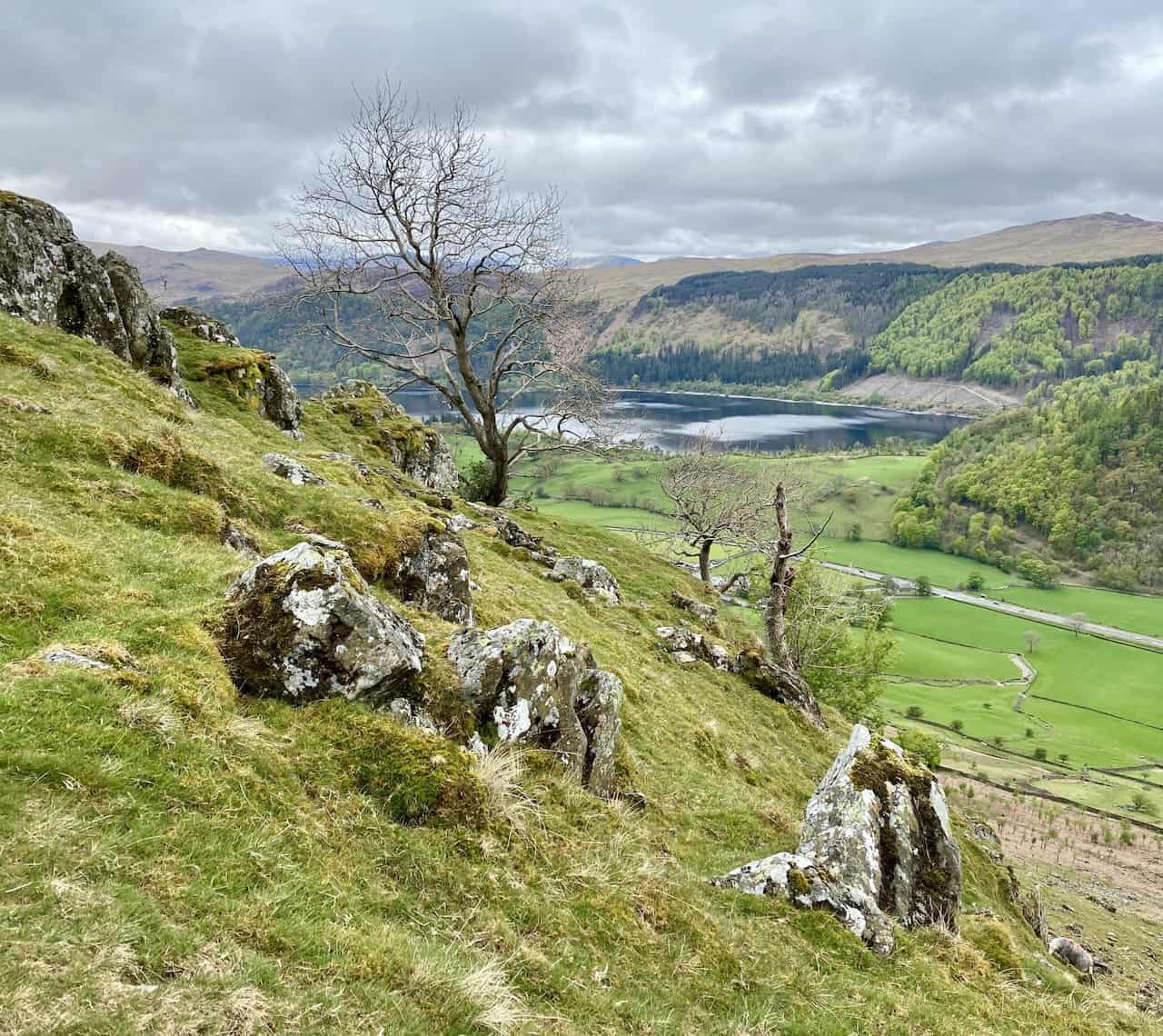
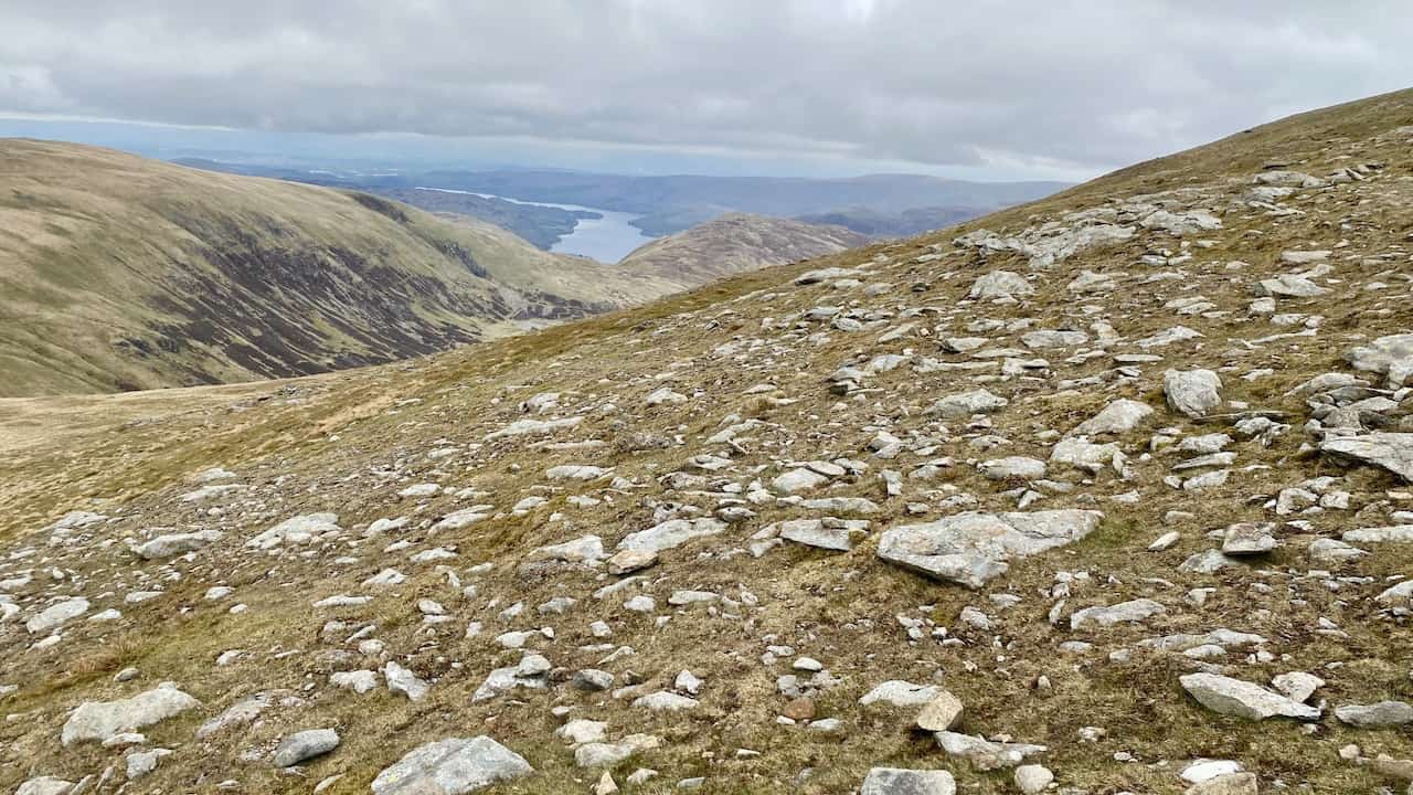
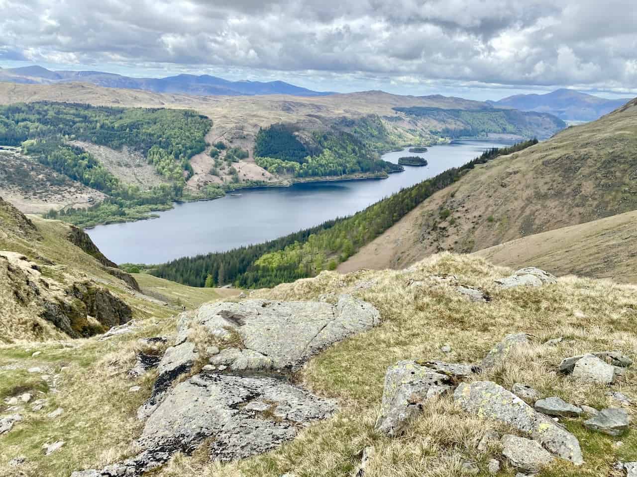
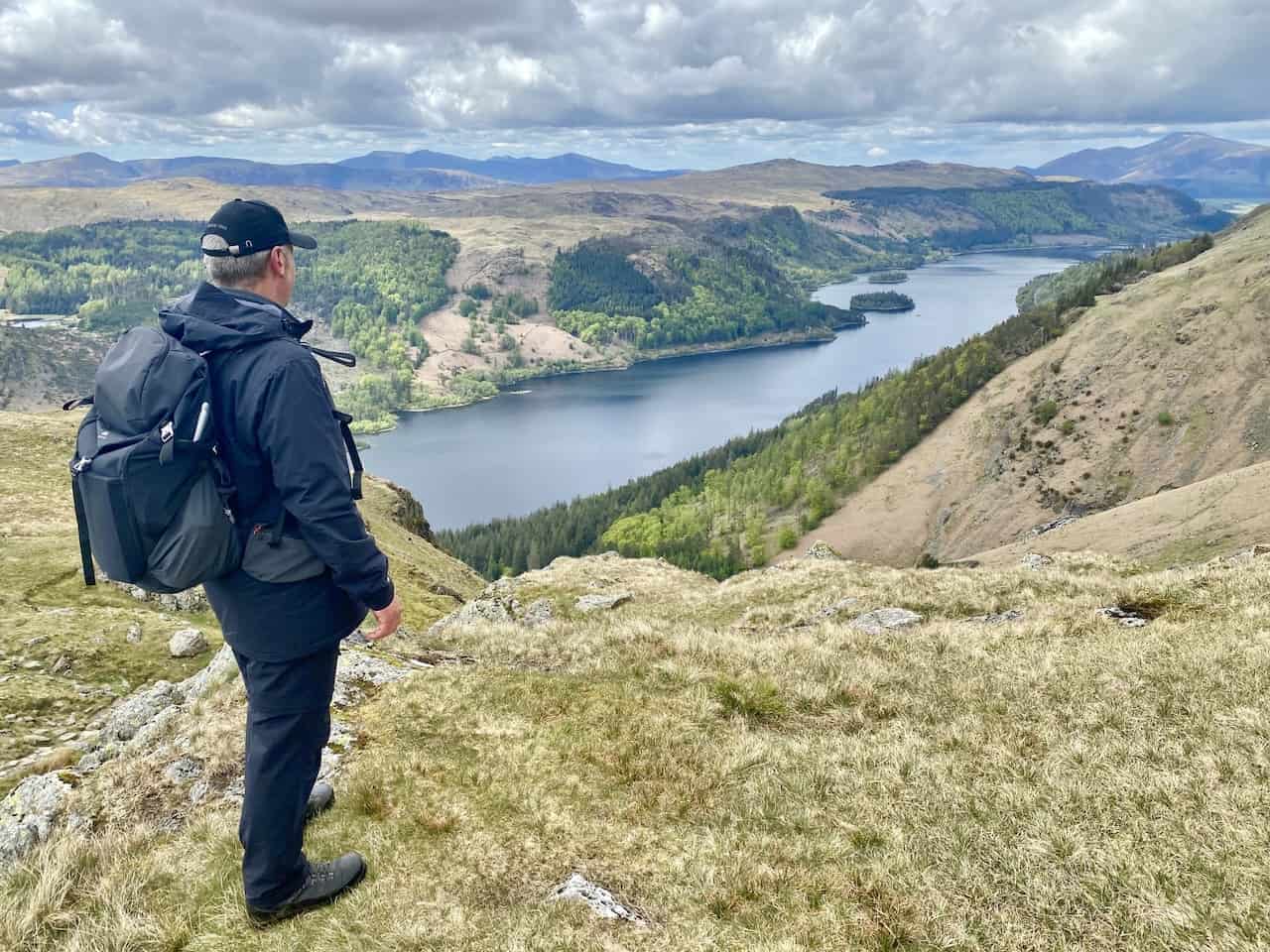
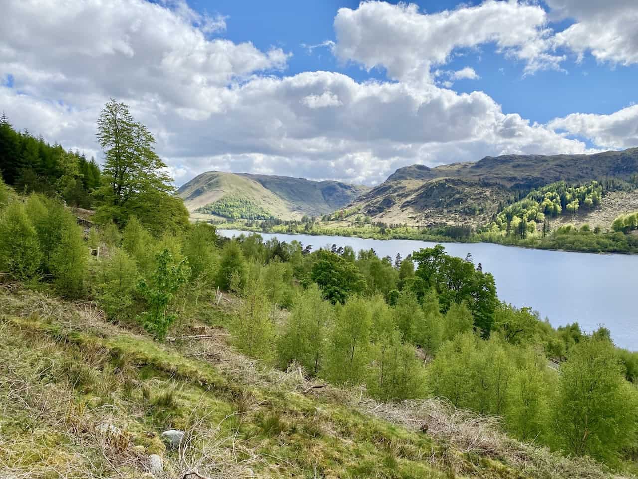
The view over to Thirlmere (Reservoir).
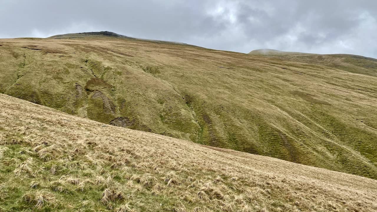
The grassy western flanks of Raise and Stybarrow Dodd.
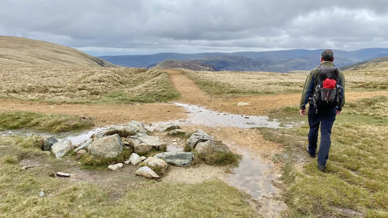
Looking up to Raise on the approach to Sticks Pass.
The crossroads at Sticks Pass. Straight on for Sheffield Pike, left for Stybarrow Dodd and right for Raise.
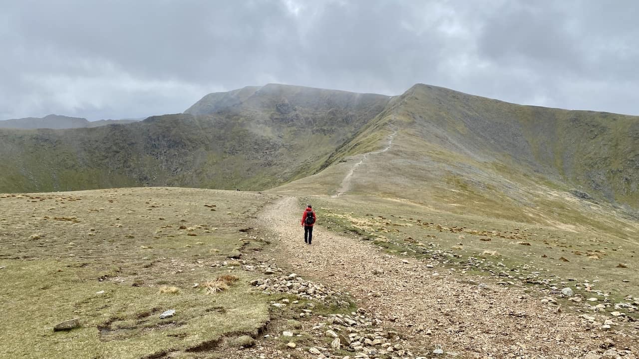
The path from the Sticks Pass crossroads to the summit of Raise.
The view north-east towards Ullswater from the rocky slopes of Raise.
The summit of Raise, height 883 metres (2897 feet). Just short of a quarter of the way round this Helvellyn circular walk.
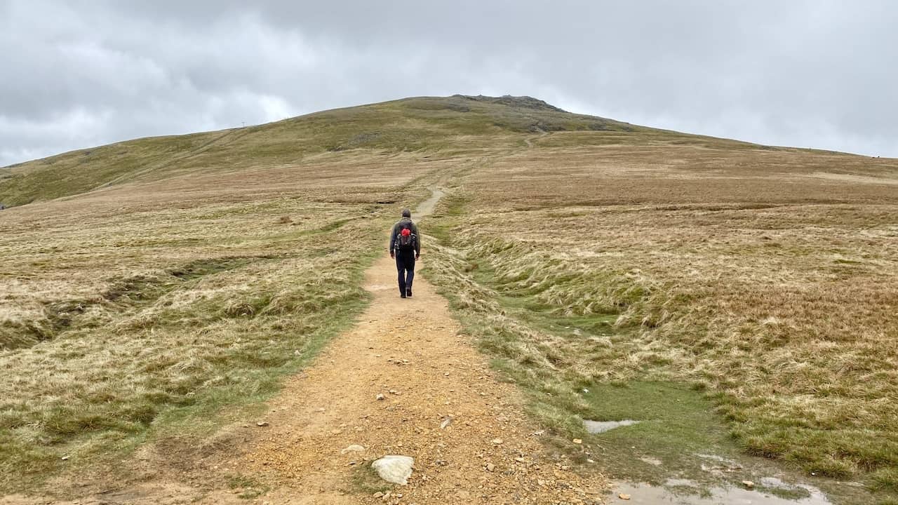
The path from the summit of White Side to Lower Man and Helvellyn.
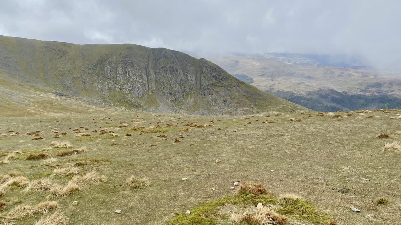
The Browncove Crags ridge stretching north-west from Lower Man.
Catstye Cam north-east of the Helvellyn summit, with Birkhouse Moor and Sheffield Pike in the background.
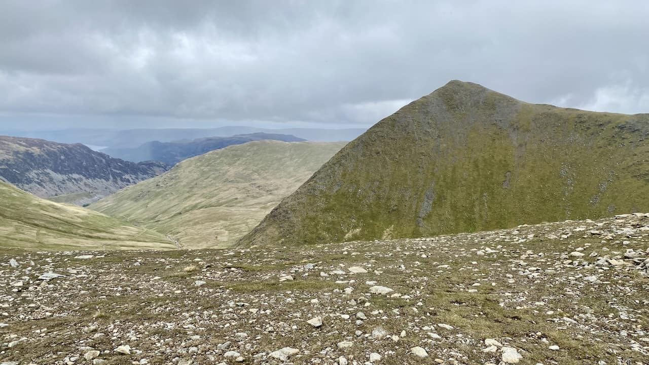
The view north-east from Lower Man towards Sheffield Pike and Ullswater.
Browncove Crags.
The Lower Man summit, height 925 metres (3035 feet).
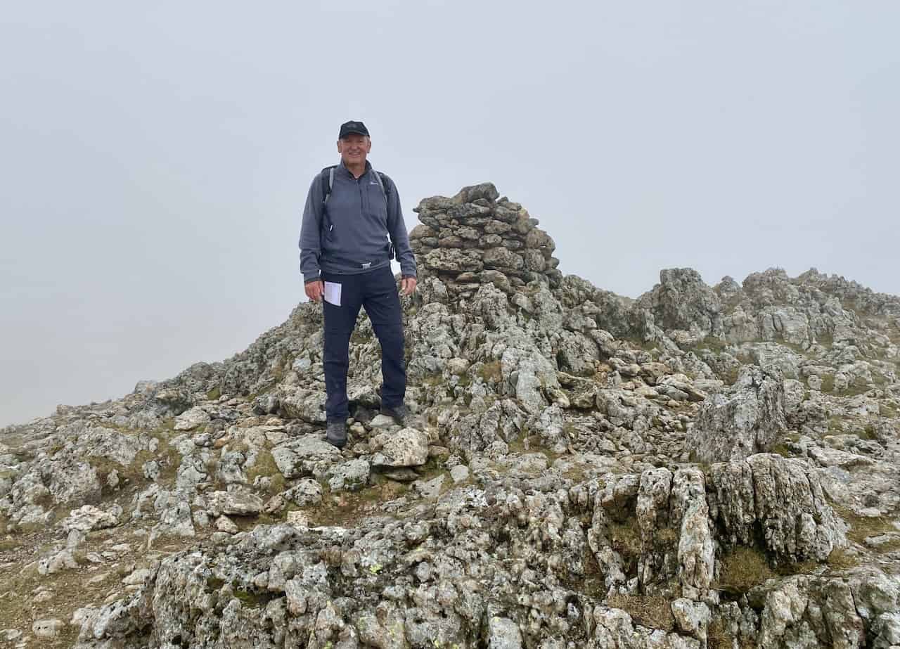
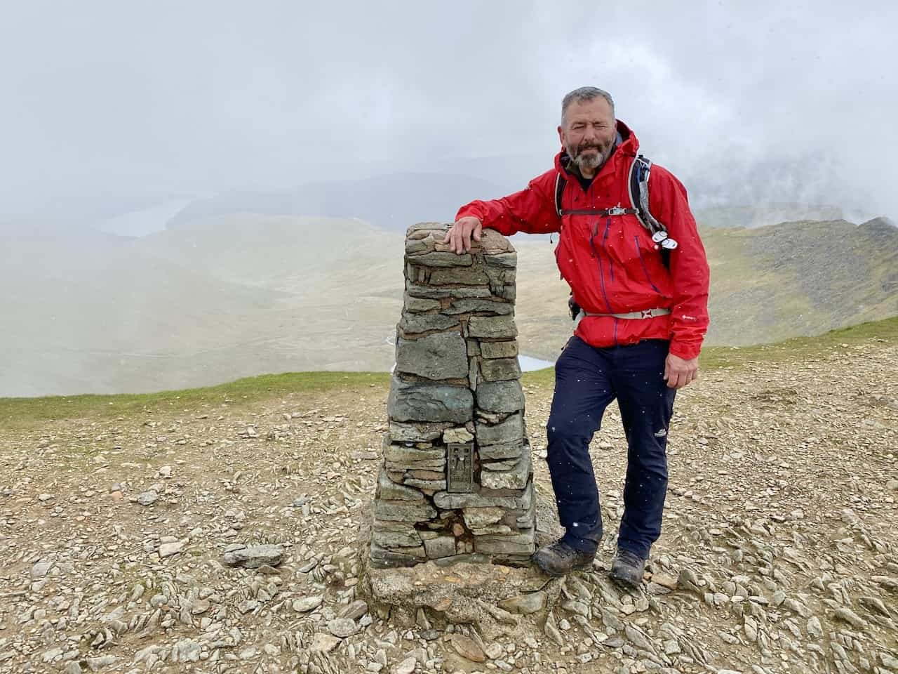
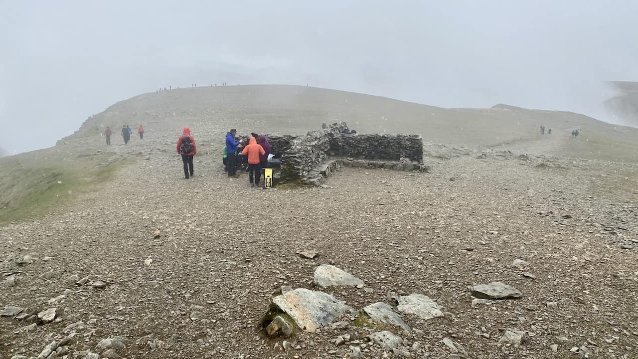
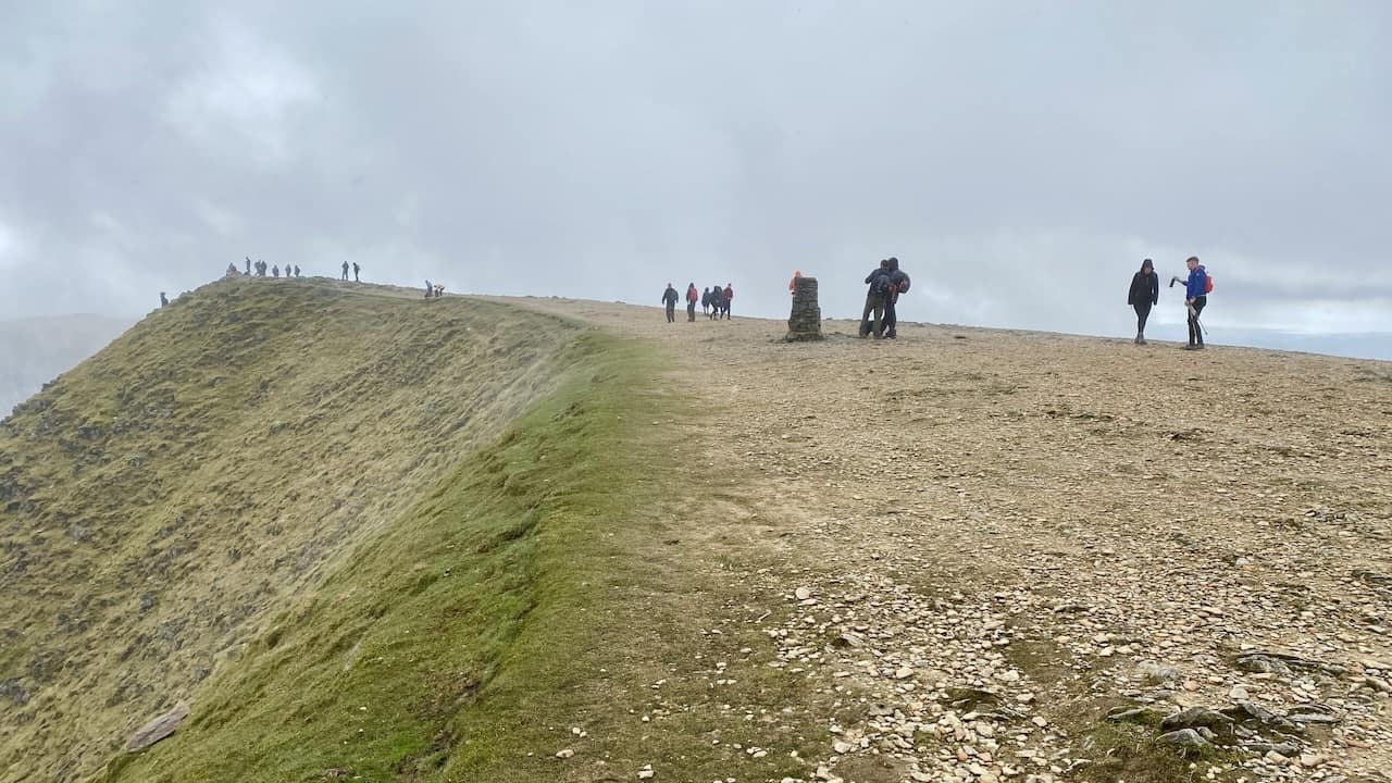
Triangulation pillar on Helvellyn, height 949 metres (3114 feet). Helvellyn is the third highest mountain in the Lake District, the two higher ones being Scafell Pike and Scafell.
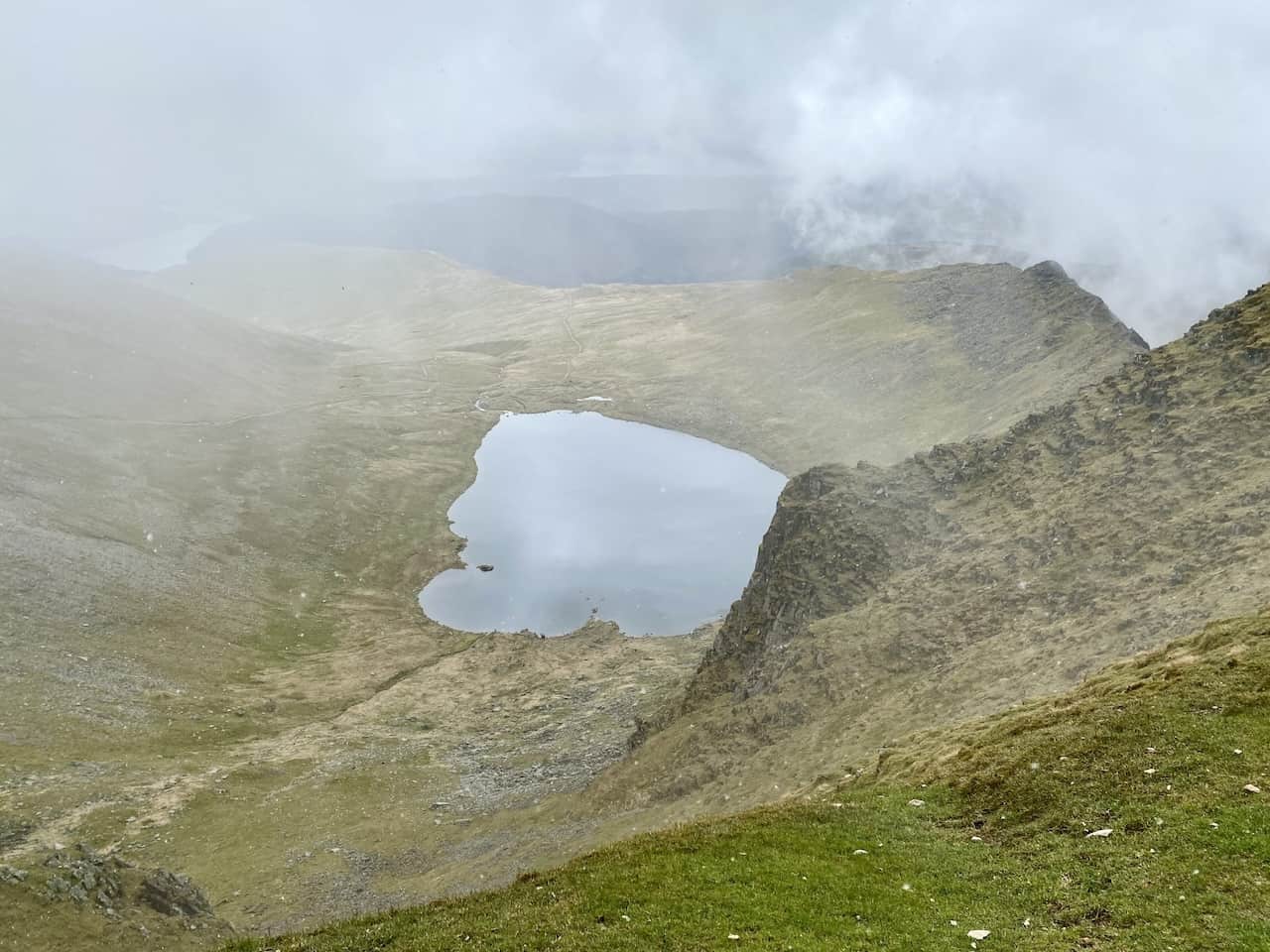
Red Tarn as seen from Helvellyn.
The popular Swirral Edge.
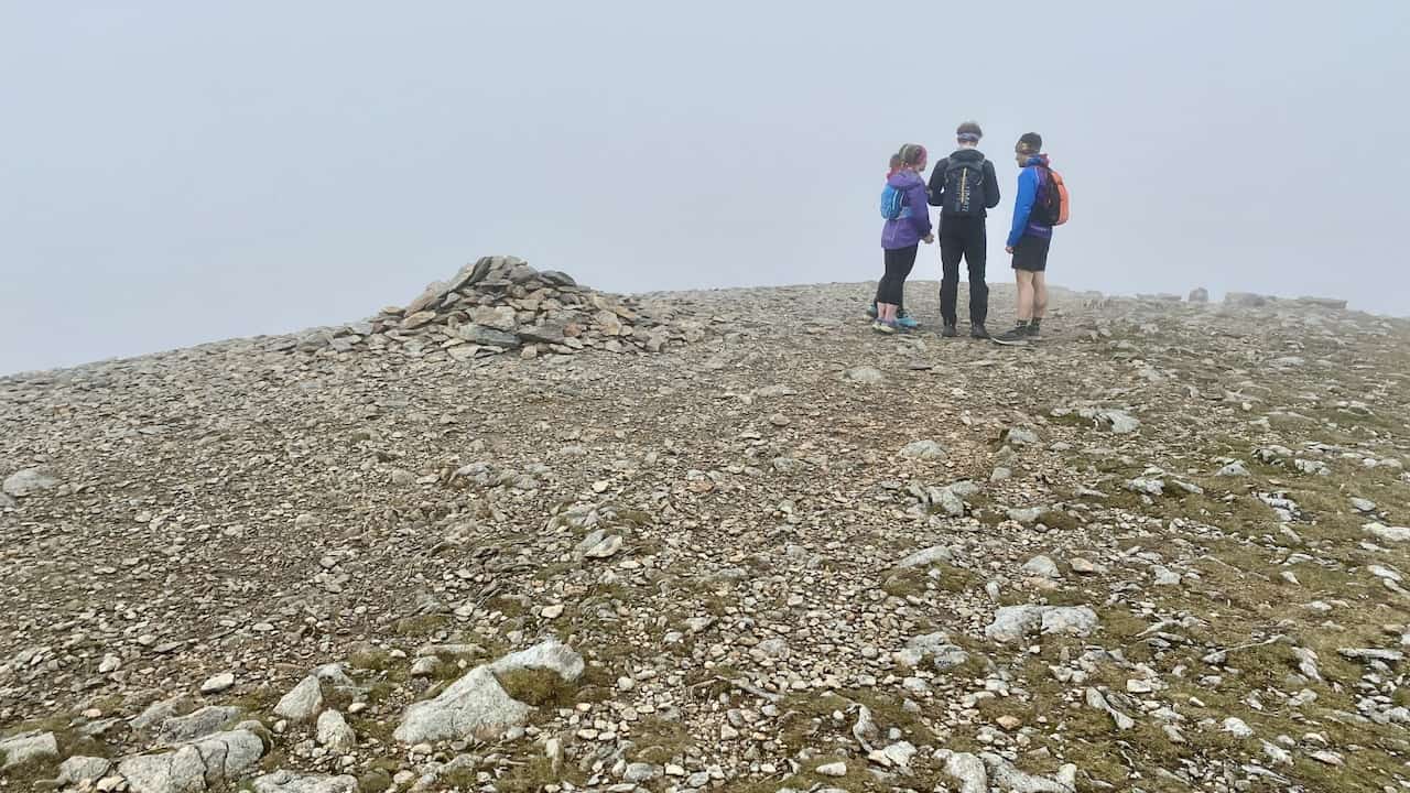
It’s busy as usual on Helvellyn, but it’s one of the many highlights of any Helvellyn circular walk.
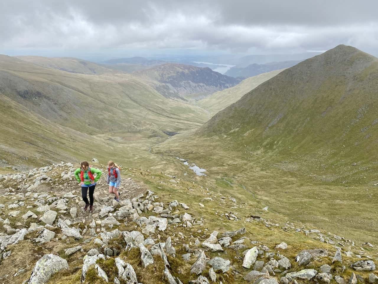
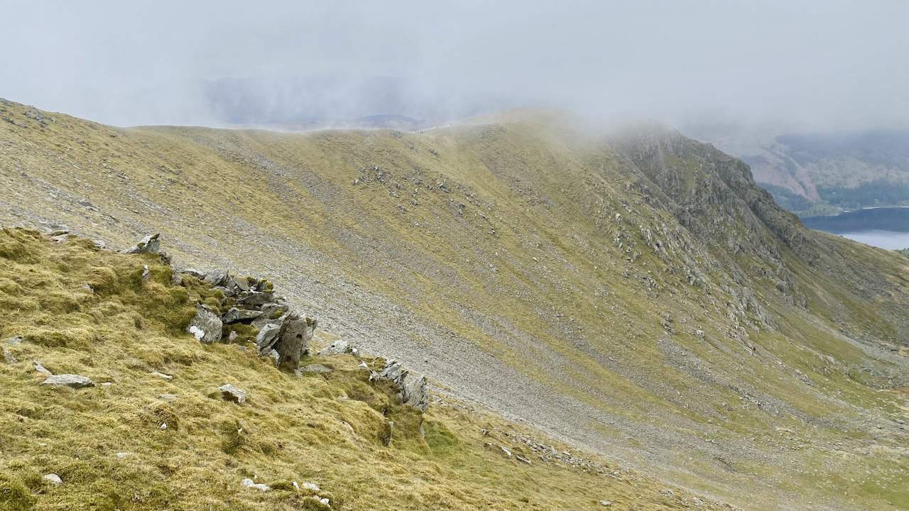
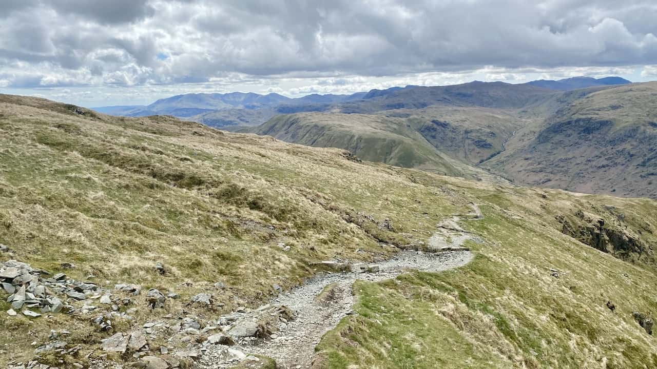
The path between Helvellyn and Nethermost Pike. Our route to Birk Side is on the right.
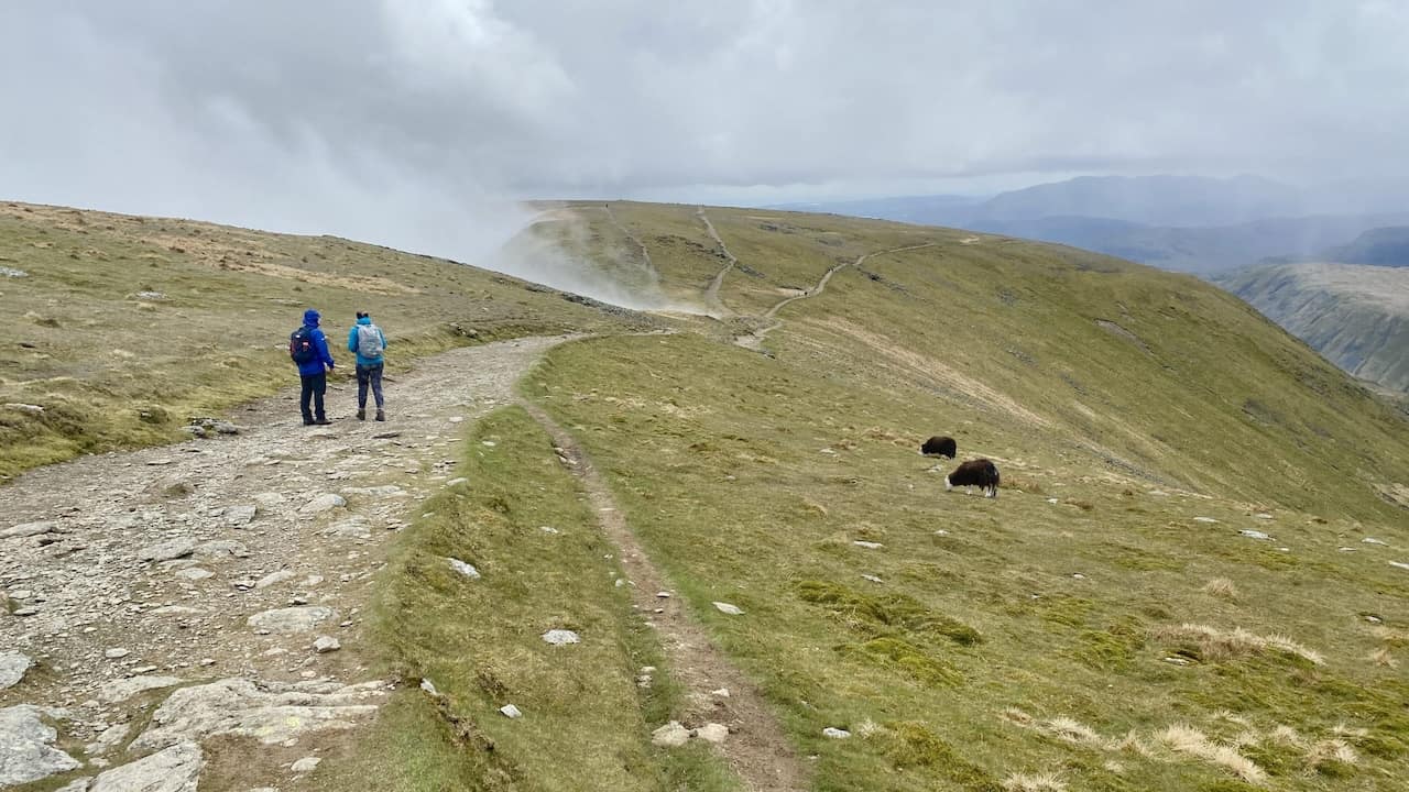
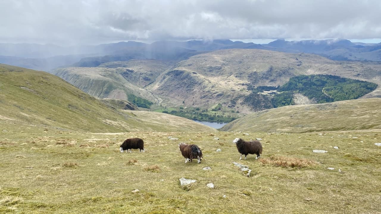
Sheep grazing above the slopes of Whelp Side and Middle Tongue.
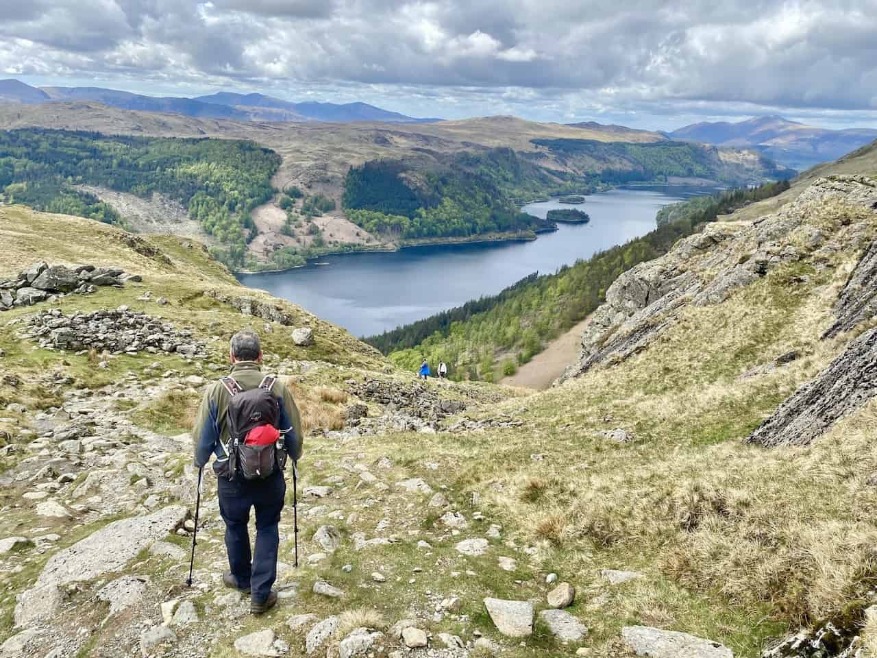
The descent of Birk Side near Comb Crags and magnificent views of Thirlmere. This is roughly the halfway point of this Helvellyn circular walk.
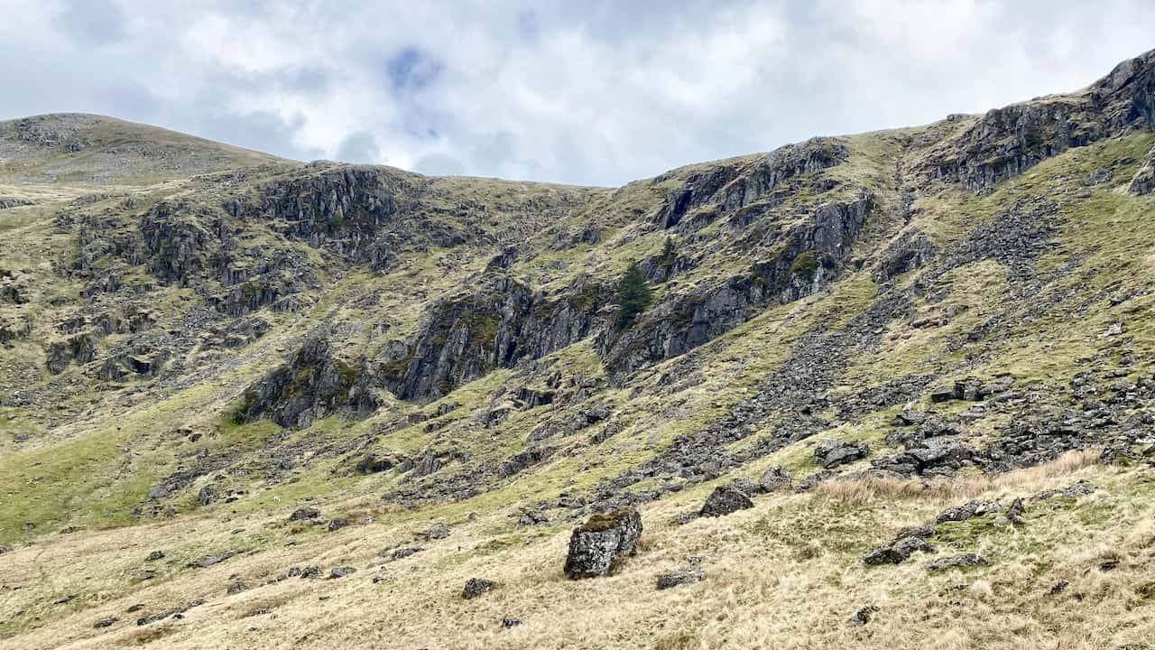
Comb Crags.
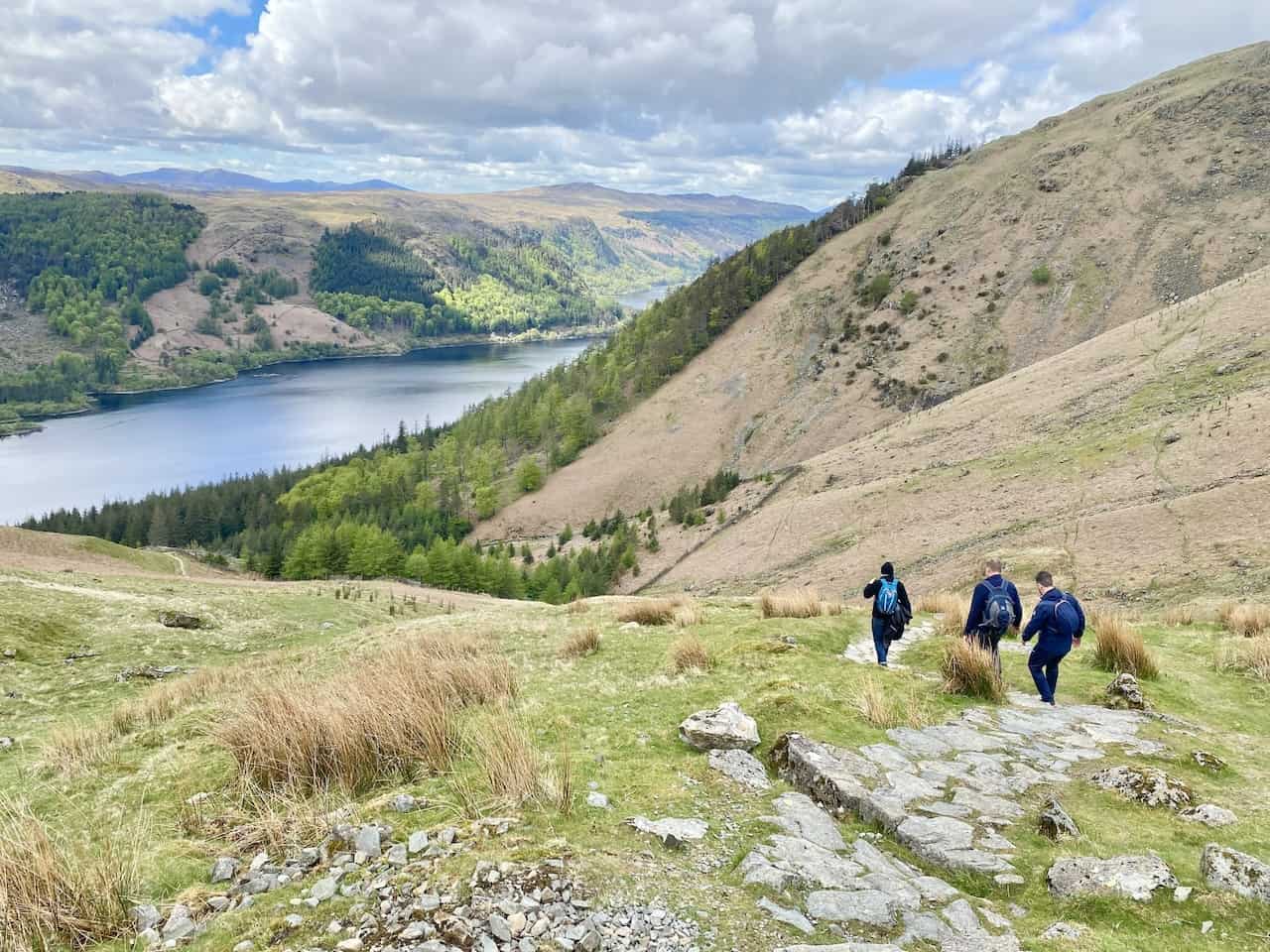
Woodland path below Birk Side and Middle Tongue near the south-east tip of Thirlmere.
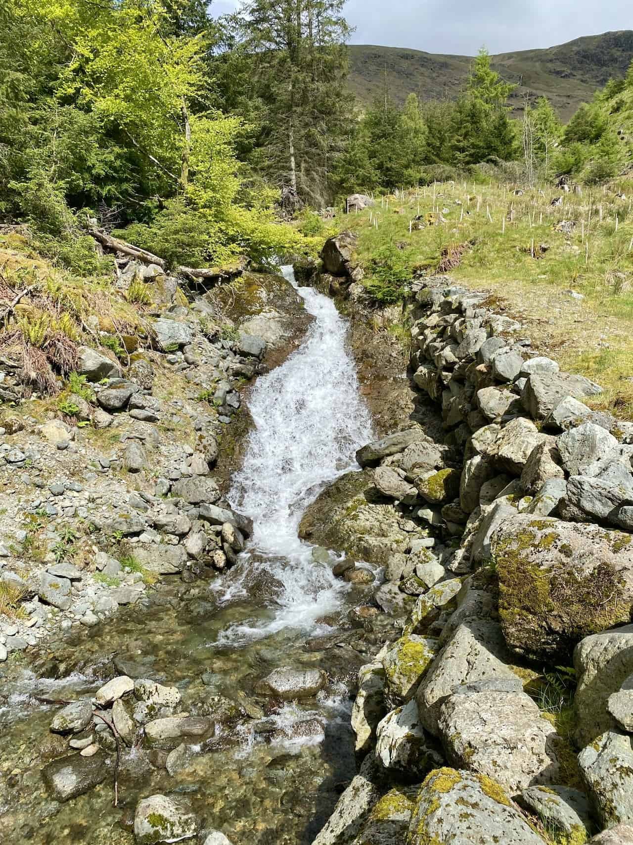
Comb Gill.
Whelpside Gill.
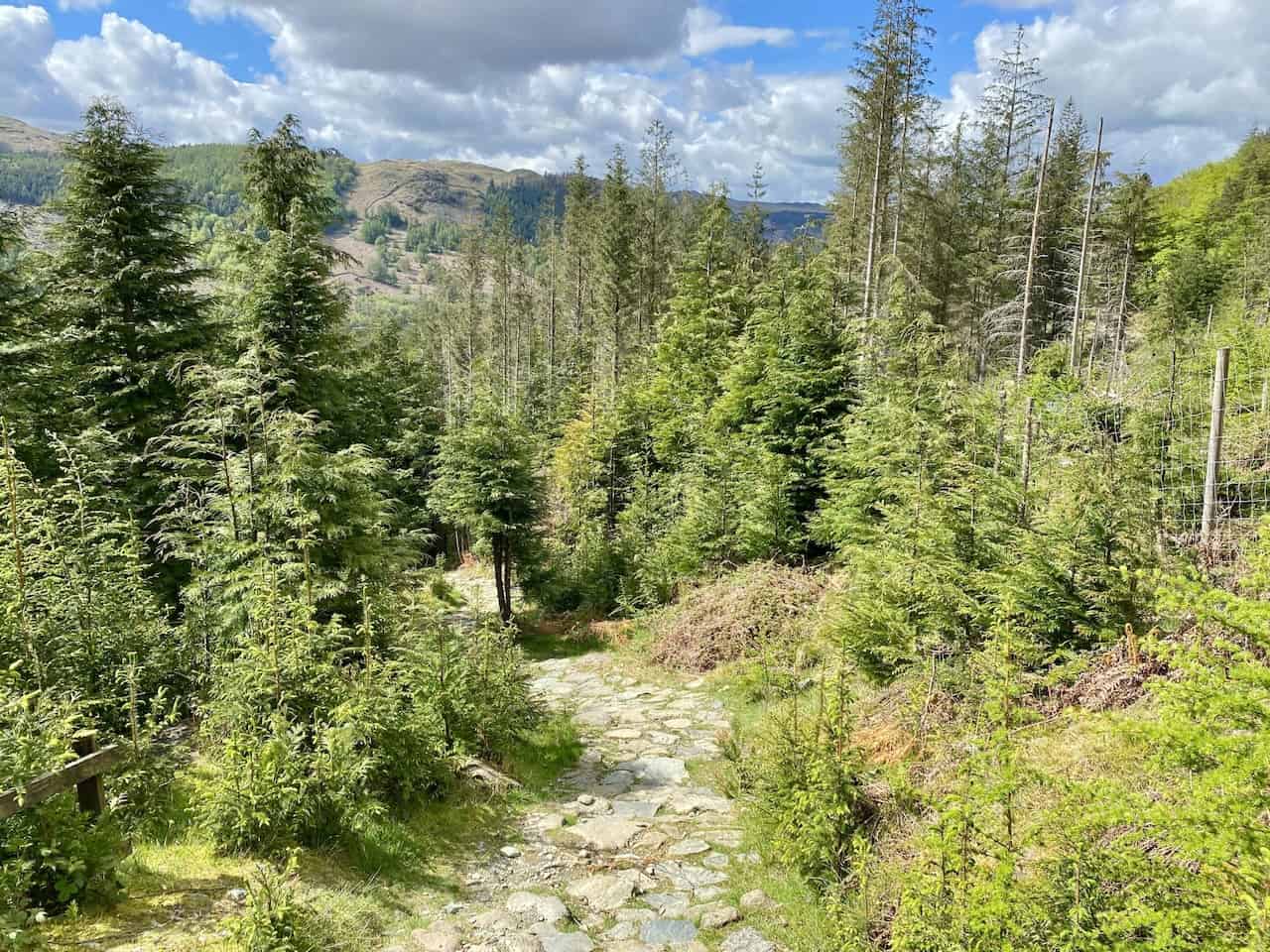
Woodland track below Helvellyn on the east side of Thirlmere.
The view south-west towards Wythburn Fells at the southern extent of Thirlmere.
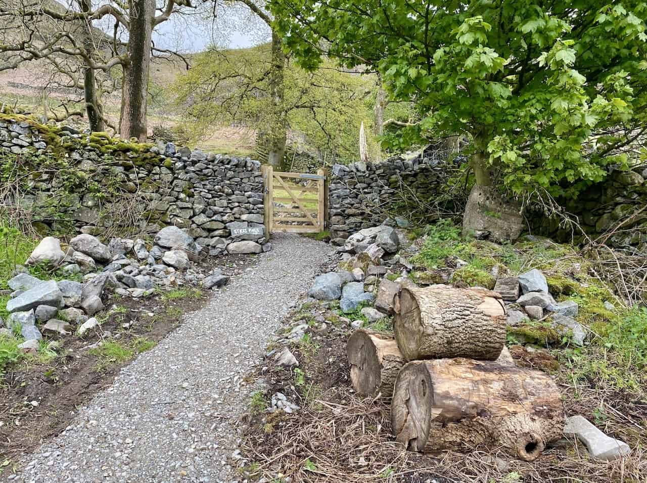
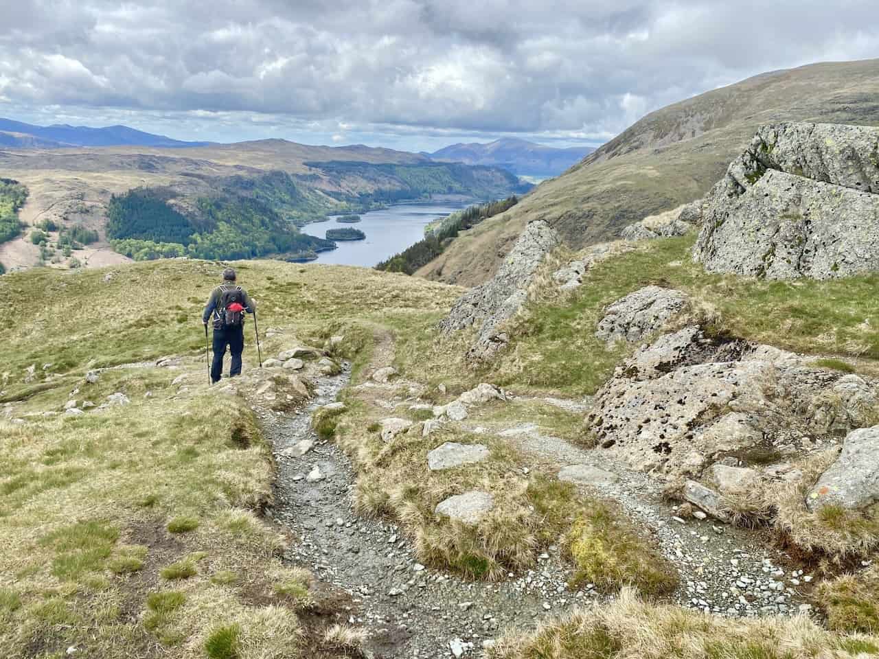
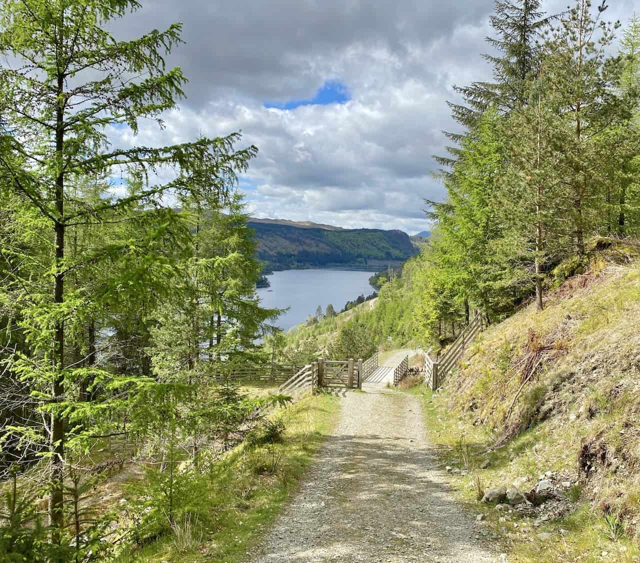
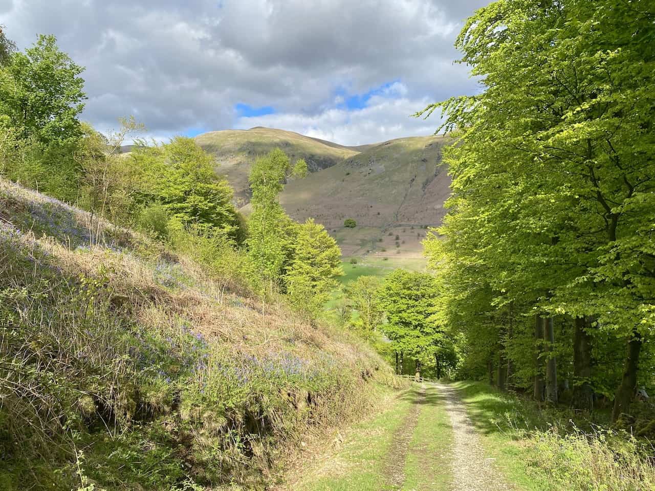
Permissive path through The Swirls, about three-quarters of the way round of this Helvellyn circular walk.
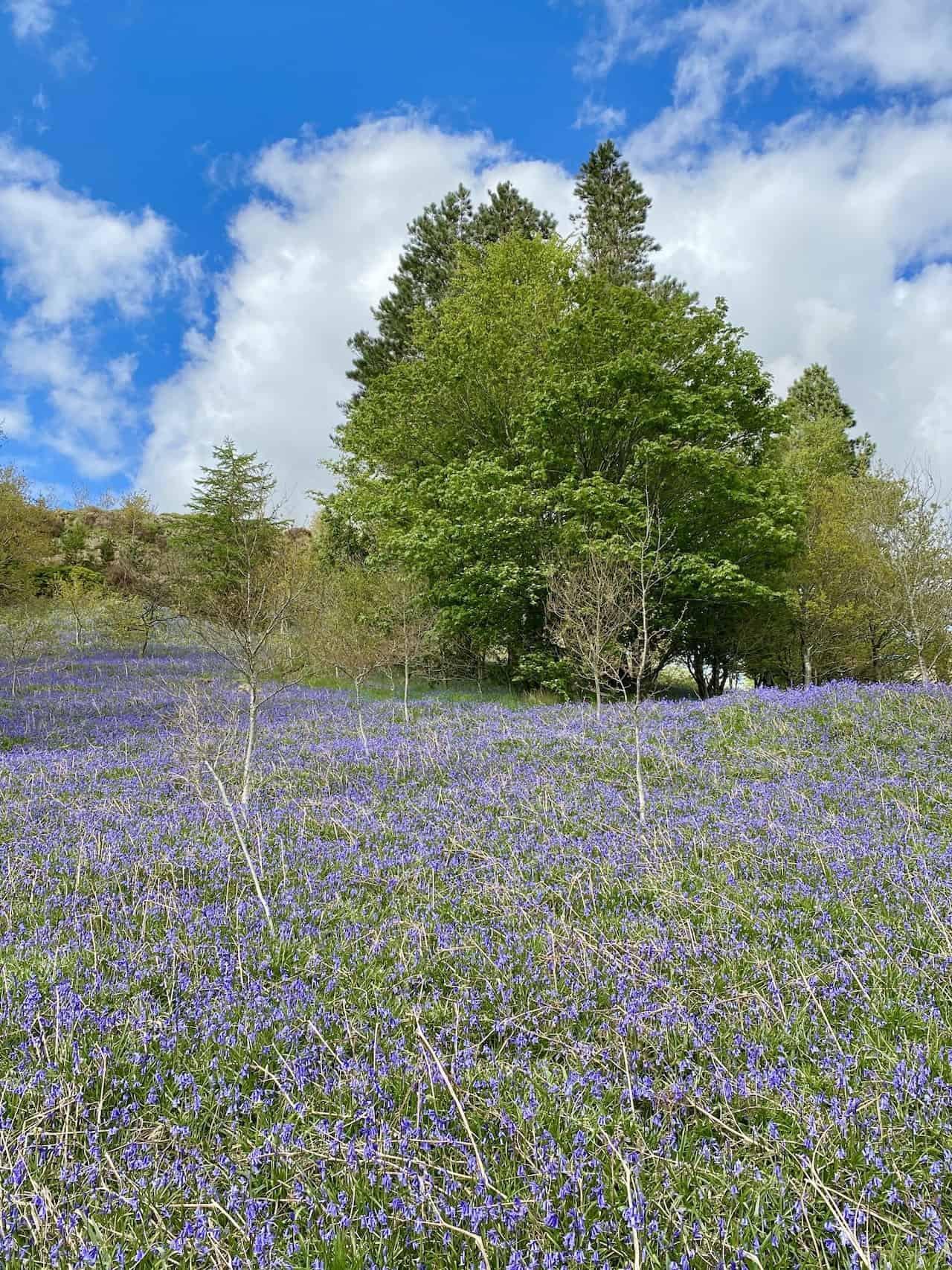
A wonderful carpet of bluebells in Highpark Wood.
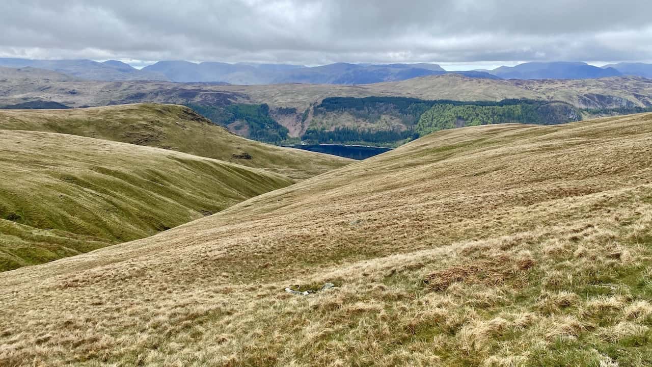
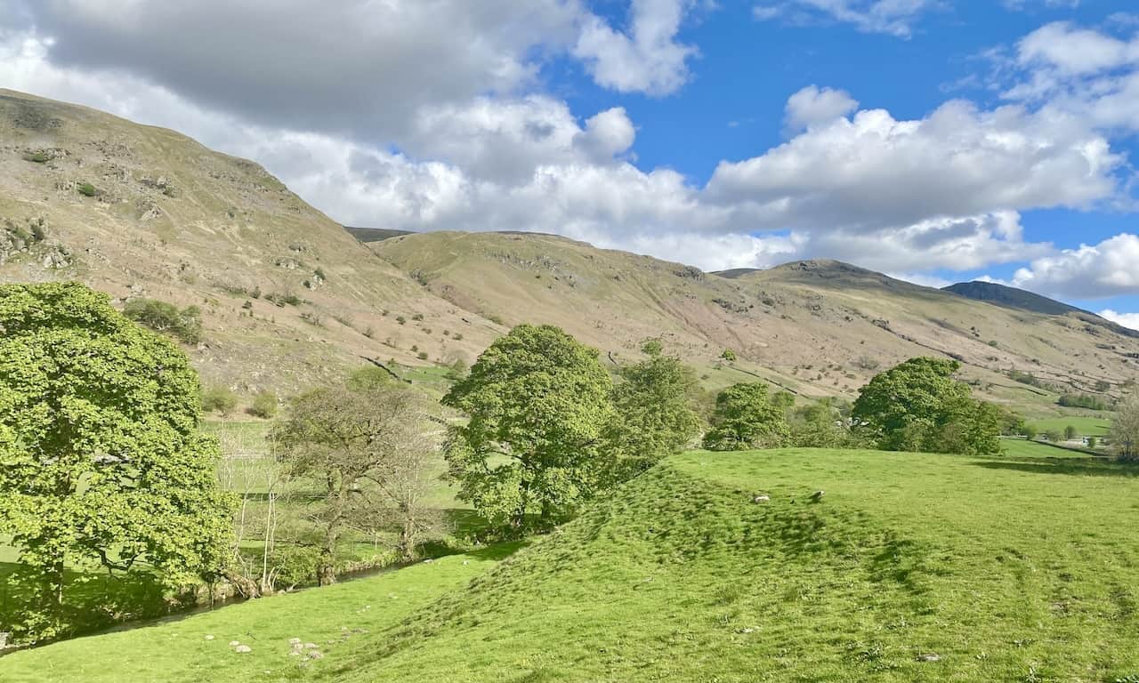
The view over to Raise and Lower Man from Greathow Wood.
The track along the eastern edge of Greathow Wood near Dale Head.
A final look back at Raise and Lower Man from Little How near Legburthwaite.
Highly Rated Osprey Hiking Backpacks for Outdoor Enthusiasts
Osprey’s reputation for crafting high-quality hiking backpacks is well-established, offering a range of options that cater to both men and women. The following four backpacks stand out for their excellent sales and customer ratings on Amazon, making them a top choice for outdoor enthusiasts seeking reliability and comfort. As an Amazon affiliate, I may earn a small commission from any purchases made through the links provided. This helps support the upkeep of this website. Rest assured, you won’t pay a penny extra, but your purchase will contribute to keeping my site running smoothly. Happy walking!

Osprey Tempest 20 Women’s Hiking Backpack
The Tempest 20 stands out as the ideal solution for day-hiking, biking, or peak-bagging, tailored specifically for women. It features a panel-loading design for ease of access, complemented by an internal zippered mesh pocket with a key clip for secure storage. Unique to this model are the Stow-on-the-Go trekking pole and LidLock bike helmet attachments, enhancing its versatility. Side stretch mesh pockets, along with an easy-access, expandable stretch mesh harness pocket, offer ample storage. Additionally, it includes a blinker light attachment (light not included) and a large stretch mesh front panel pocket for extra carrying capacity.

Osprey Talon 22 Men’s Hiking Backpack
Designed for the active adventurer, the Talon 22 provides an optimal panel-loading design suitable for day-hiking, biking, or peak-bagging. Key features include dual-zippered panel access to the main compartment and a tuck-away ice ax attachment with a bungee tie-off. It boasts a top panel zippered slash pocket for quick access items and lower side compression straps for load management. An external hydration reservoir sleeve and dual-zippered fabric hipbelt pockets enhance hydration and storage, while a large stretch mesh front panel pocket increases its utility for various activities.

Osprey Tempest 30 Women’s Hiking Backpack
The Tempest 30, designed with a women’s-specific fit, is a streamlined top-loader ideal for both extensive day trips and light-and-fast overnight adventures. It includes a fixed top lid with an external zippered slash pocket and an under-lid zippered mesh pocket with a key clip for organised storage. The pack features a tuck-away ice ax attachment with a bungee tie-off, dual upper and lower side compression straps for load adjustment, and an external hydration reservoir sleeve. For added convenience, it offers an easy-access, expandable stretch mesh harness pocket and dual-zippered fabric hip-belt pockets.

Osprey Talon 33 Men’s Hiking Backpack
The Talon 33 is engineered for dynamic movement, making it the perfect streamlined top-loader for committed day trips or light-and-fast overnight excursions. It features top load access to the main compartment for easy packing and retrieval. The backpack is equipped with a large stretch mesh front panel pocket, Stow-on-the-Go trekking pole attachment, and stretch mesh side pockets for versatile storage options. Additionally, an easy-access, expandable stretch mesh harness pocket and dual-zippered fabric hip-belt pockets offer convenient storage solutions for essential gear.