South-west from Patterdale all the way to Fairfield via St Sunday Crag. East to Hart Crag, then north-east to Deepdale Bridge by way of Hartsop above How. North to Patterdale using the footpaths alongside the A592. A 9-mile walk in the Lake District.
Recommended Ordnance Survey Map
The best map to use on this walk is the Ordnance Survey map of the Lake District North-Eastern Area, reference OS Explorer OL5, scale 1:25,000. It clearly displays footpaths, rights of way, open access land and vegetation on the ground, making it ideal for walking, running and hiking. The map can be purchased from Amazon in either a standard, paper version or a weatherproof, laminated version, as shown below.
Standard Version
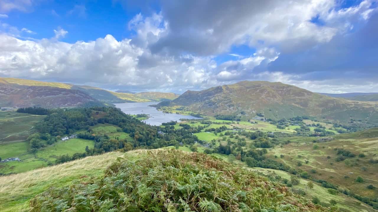
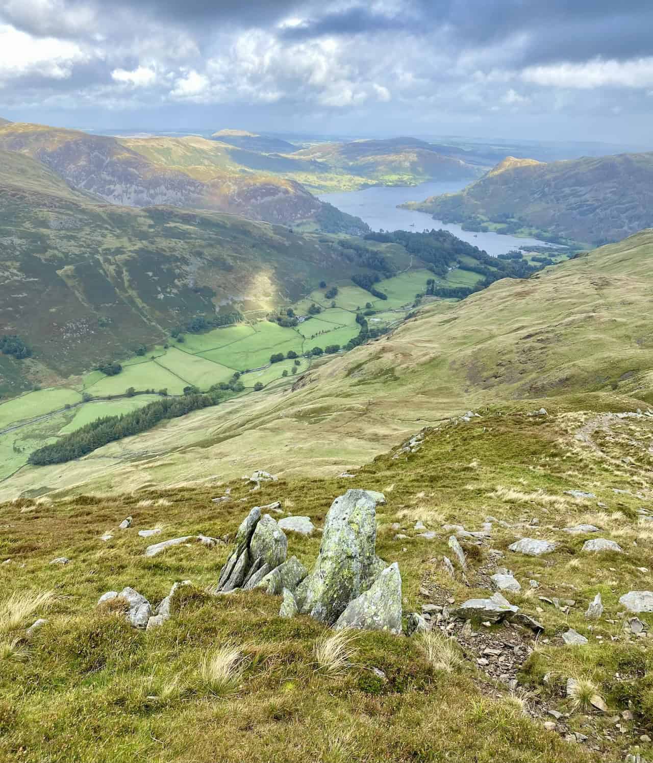
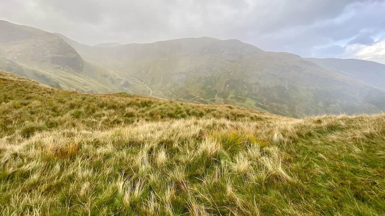
Magnificent views of Ullswater observed during the ascent of Thornbow End, not long after the start of the Deepdale Horseshoe walk.
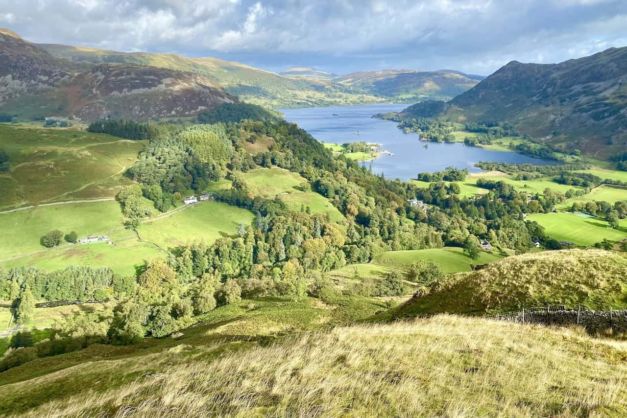
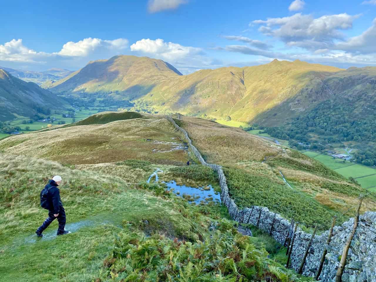
Looking down upon Grisedale, the valley which separates Birks and Birkhouse Moor.
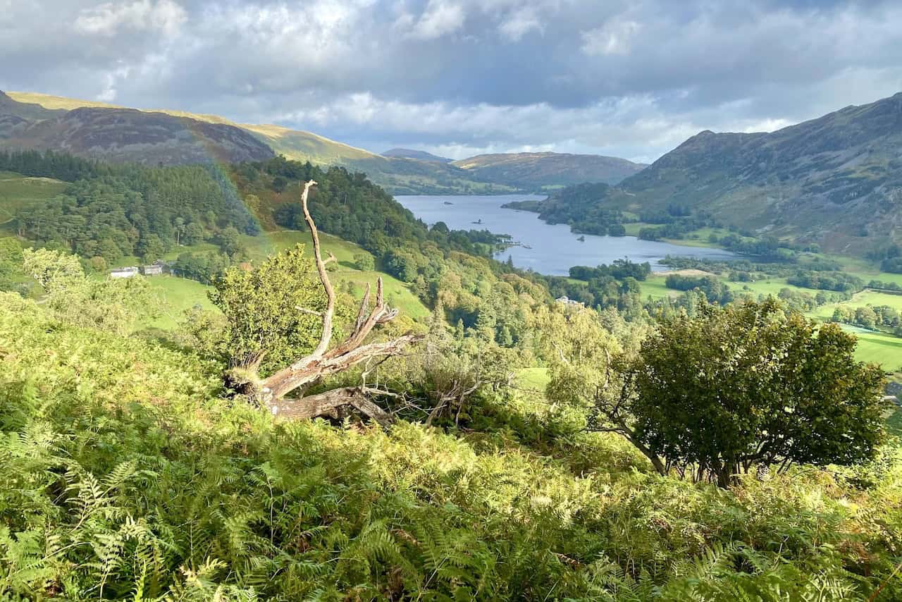
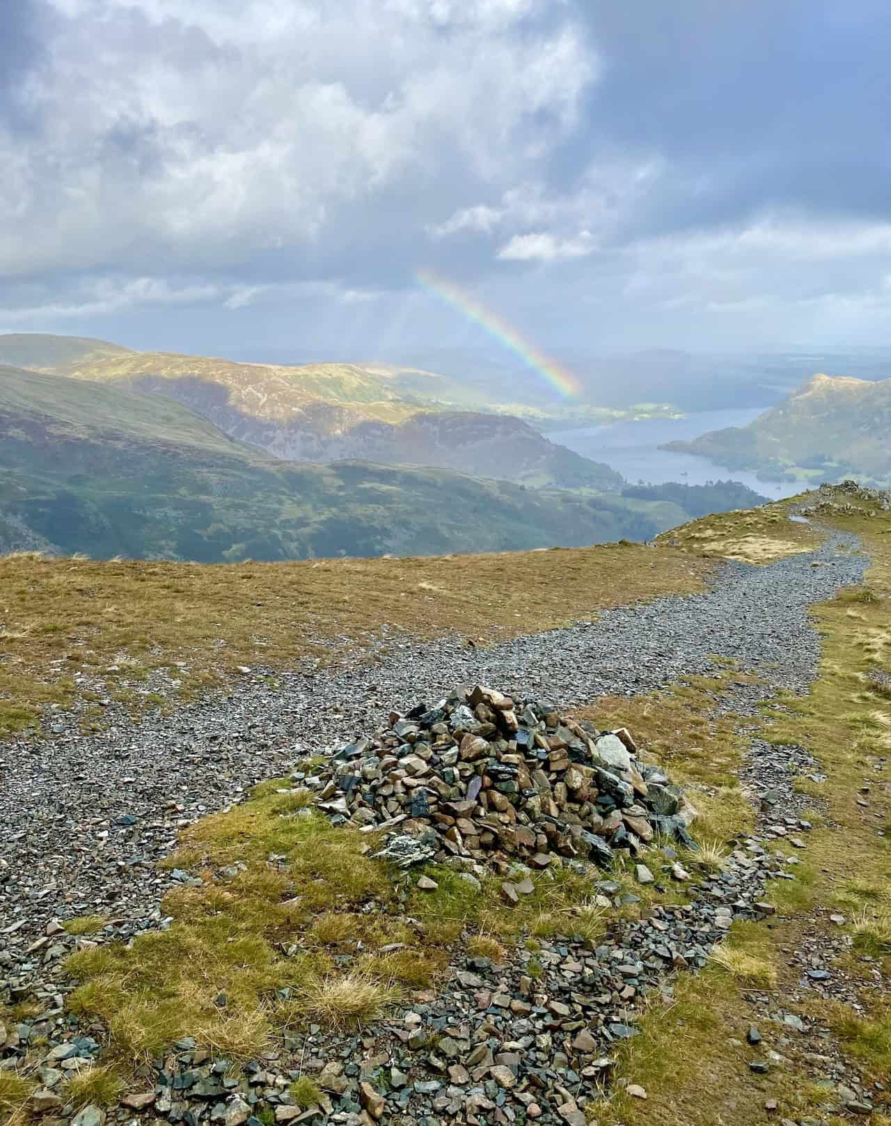
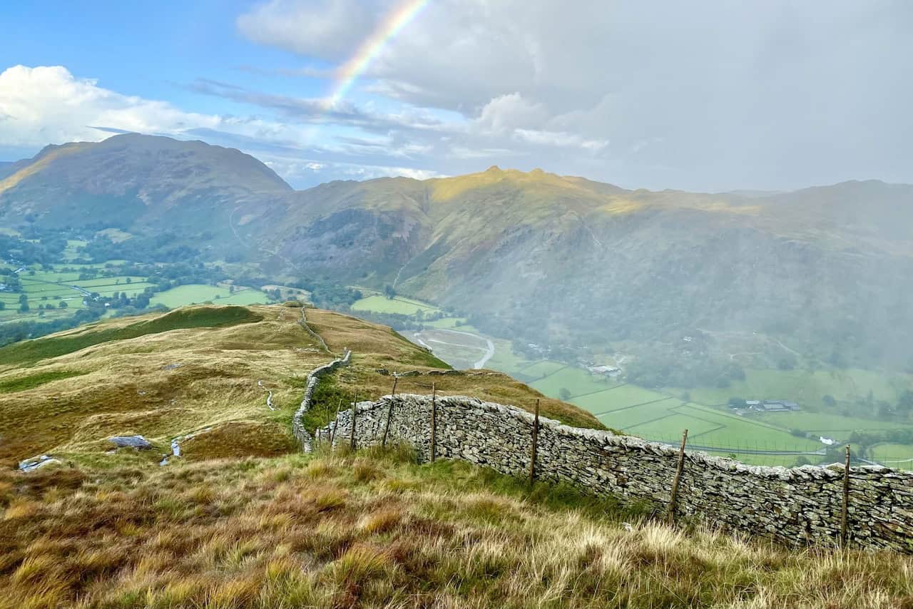
A rainbow appears as we approach the top of St Sunday Crag.
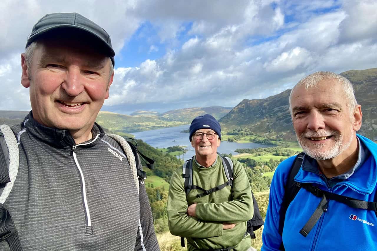
The summit of St Sunday Crag, height 841 metres (2759 feet), with Nethermost Pike and Helvellyn in the background. We’re about one-third of the way round our Deepdale Horseshoe walk.
Looking across to Fairfield from the top of St Sunday Crag.
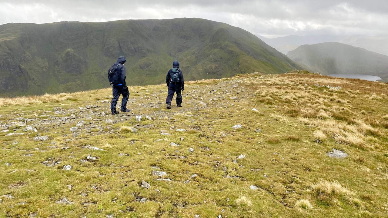
The view back to Deepdale Hause and St Sunday Crag from Cofa Pike.
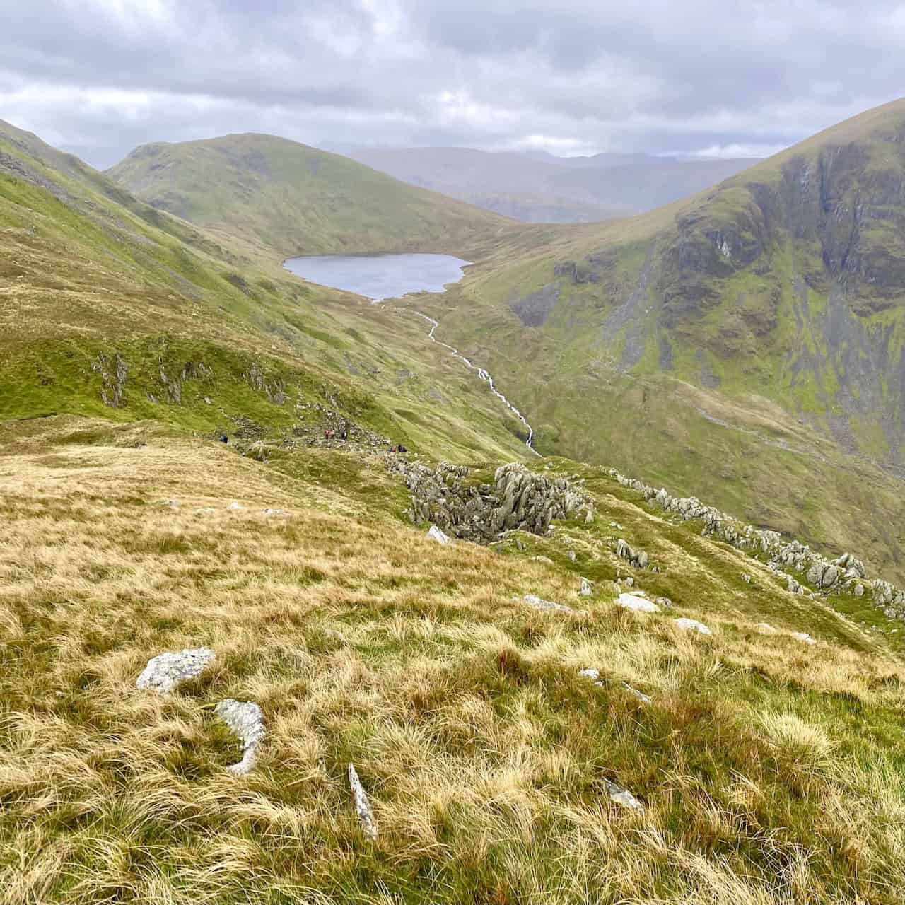
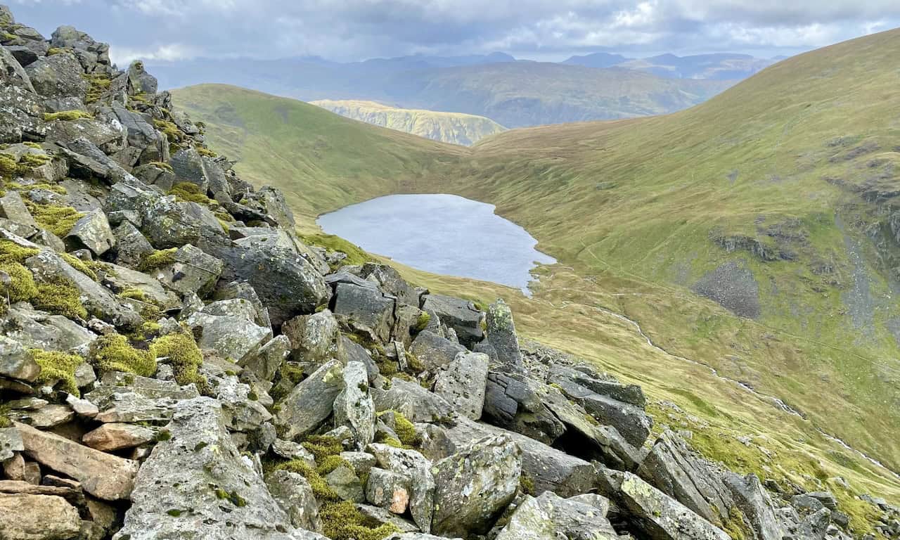
Grisedale Tarn at the head of the Grisedale valley, backed by Seat Sandal and flanked by Dollywaggon Pike and Fairfield.
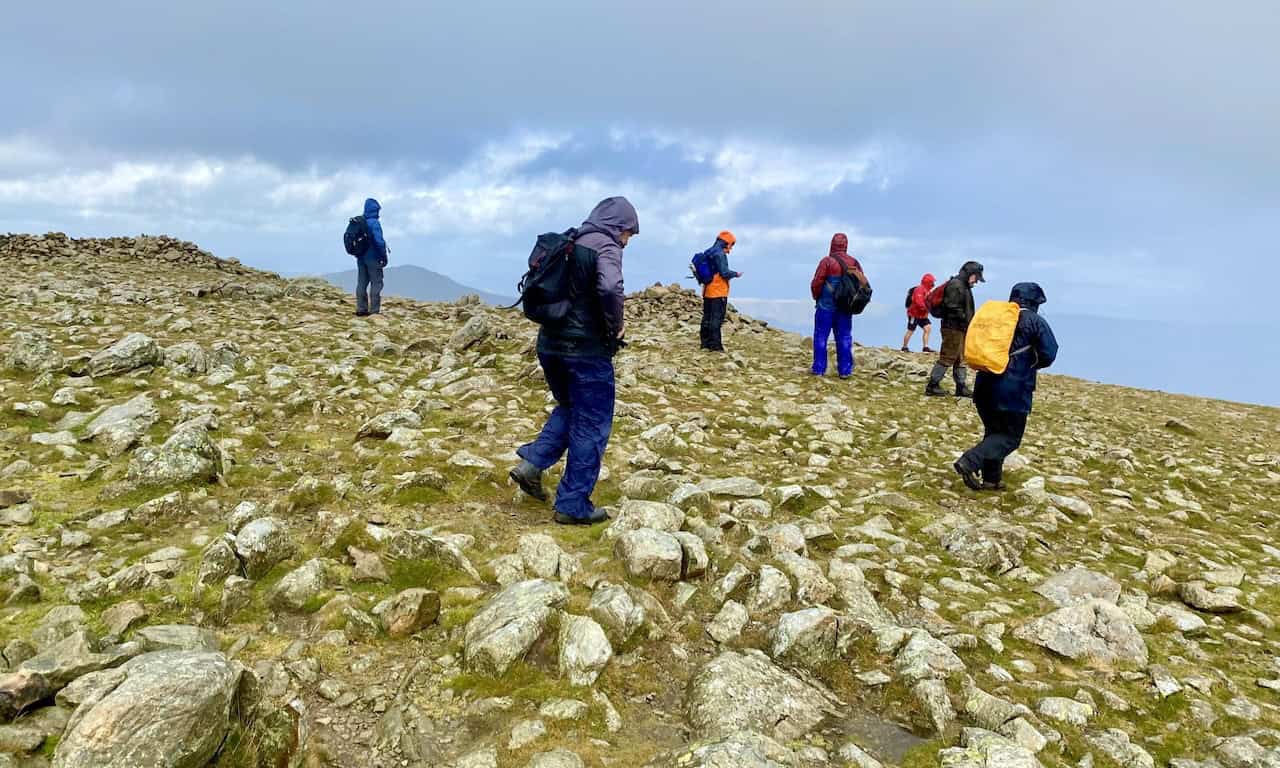
The summit of Fairfield, height 873 metres (2865 feet).
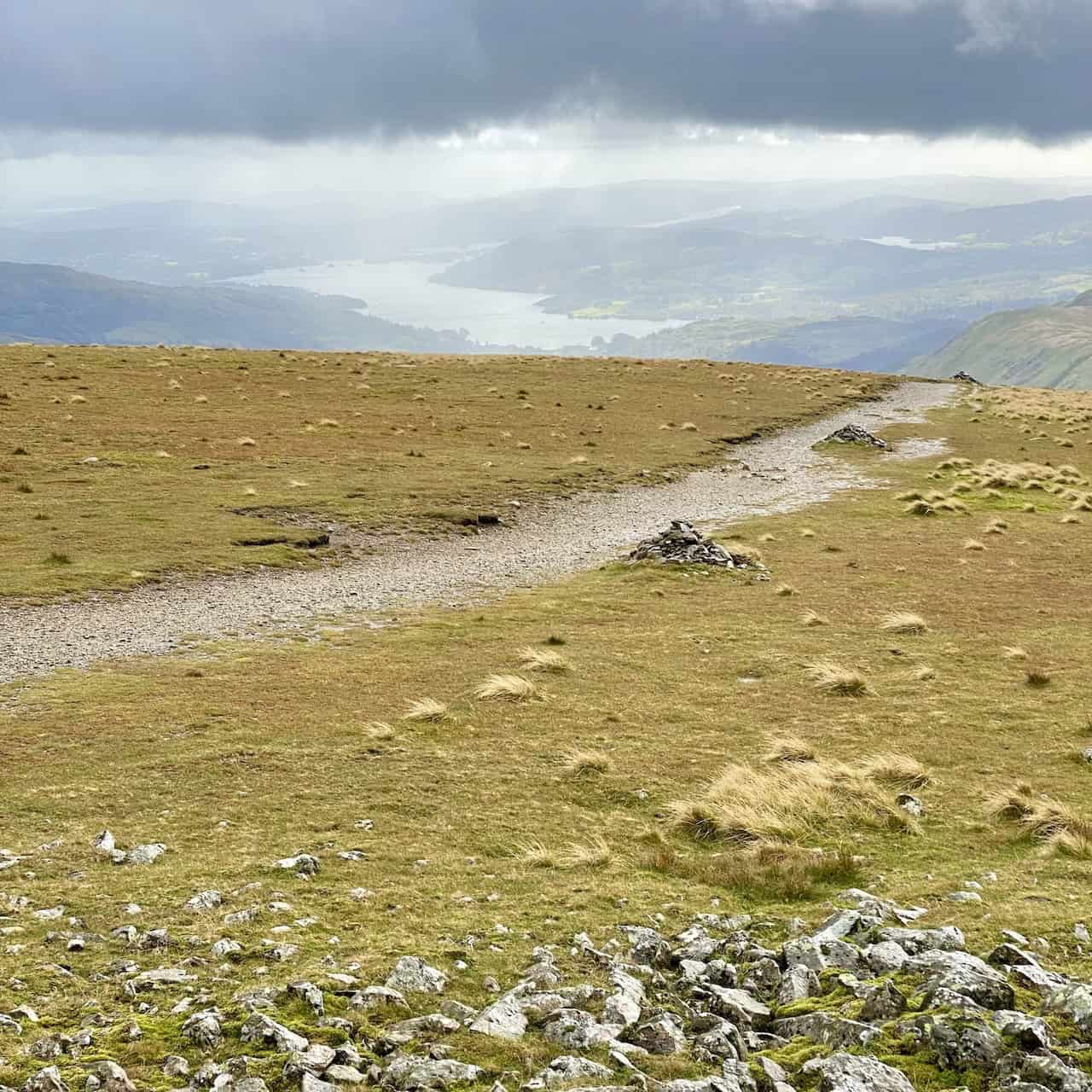
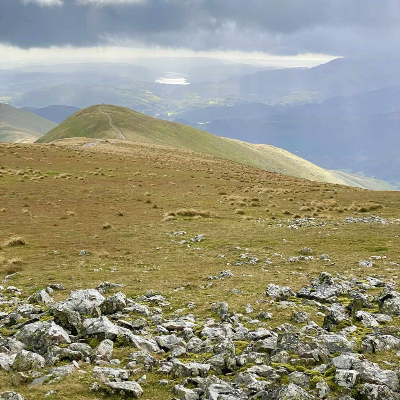
Windermere, Esthwaite Water and Coniston Water can all be seen from the Fairfield plateau, which is the highest point of the Deepdale Horseshoe.
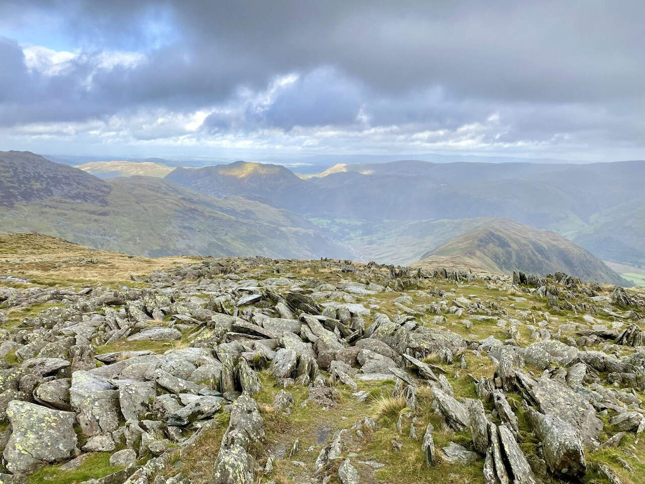
The summit of Hart Crag, height 822 metres (2697 feet).
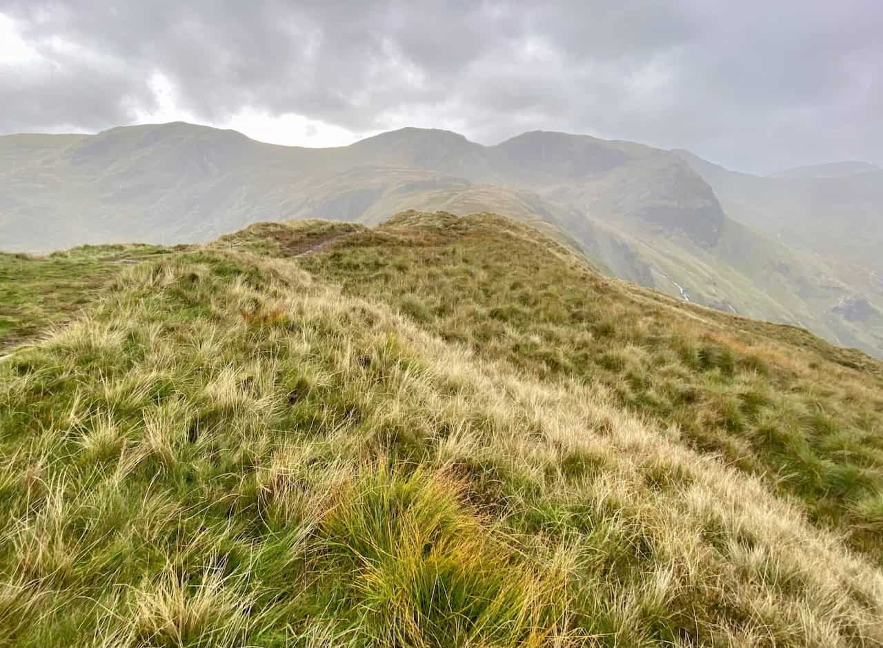
The route across Hartsop above How as seen from Blake Brow.
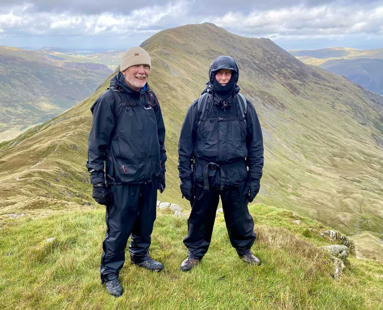
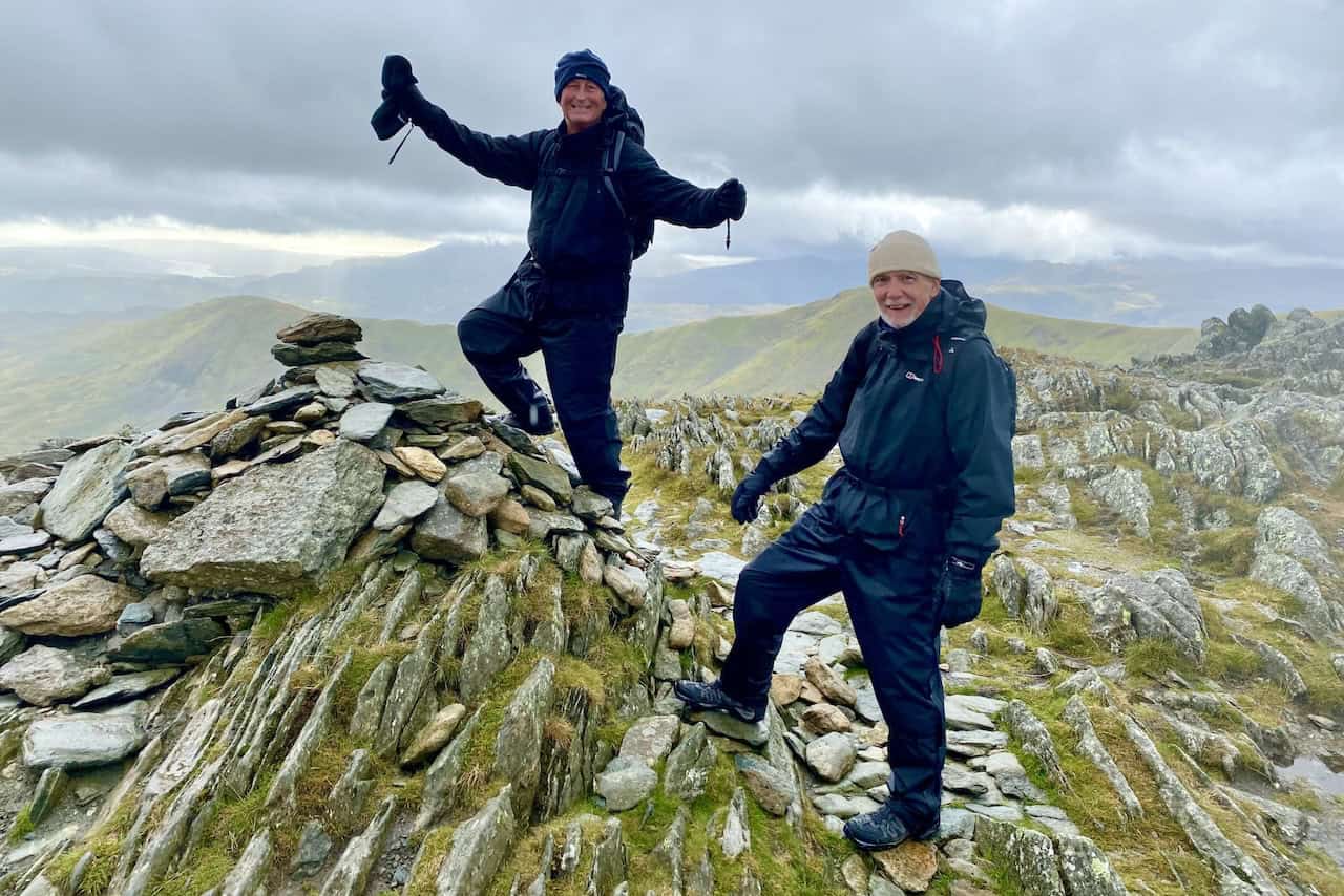
The summit of Hartsop above How, height 584 metres (1916 feet). We’re now about two-thirds of the way round our Deepdale Horseshoe walk.
St Sunday Crag viewed from Hartsop above How.
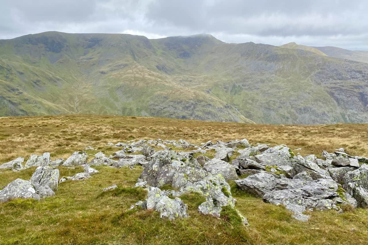
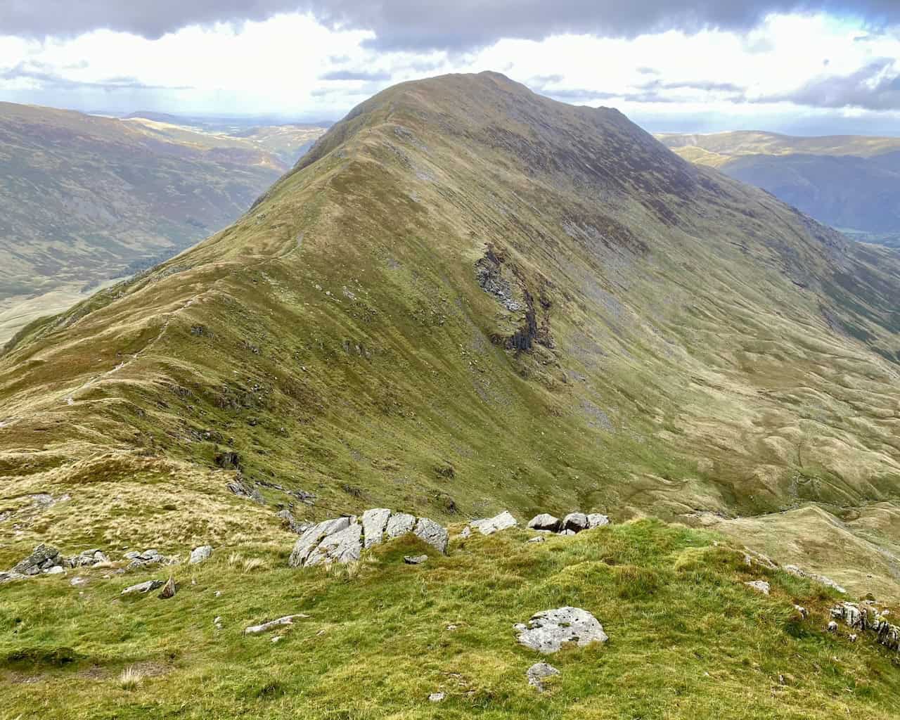
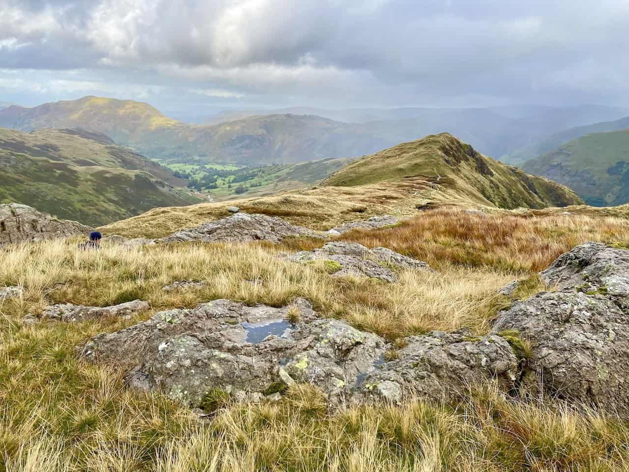
The view south-west from Hartsop above How. The three high points, from left to right, are Dove Crag, Hart Crag and Fairfield.
The sun lights Angletarn Pikes as we descend Hartsop above How. The descent is one of the many highlights of the Deepdale Horseshoe.
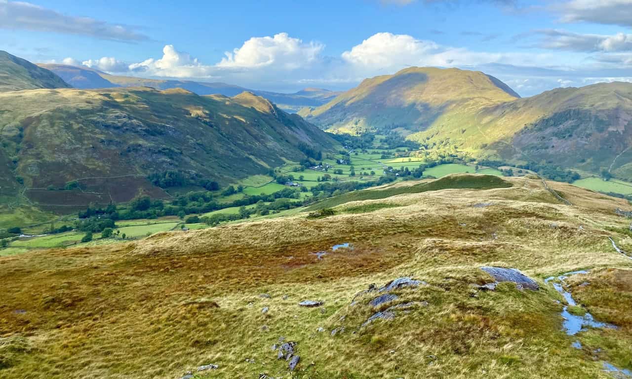
Looking down into Deepdale and the valley just south of Patterdale.
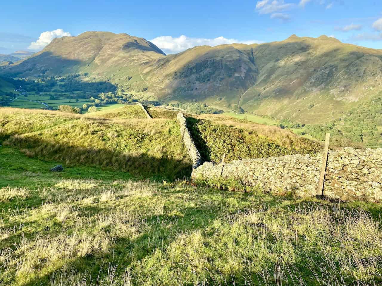
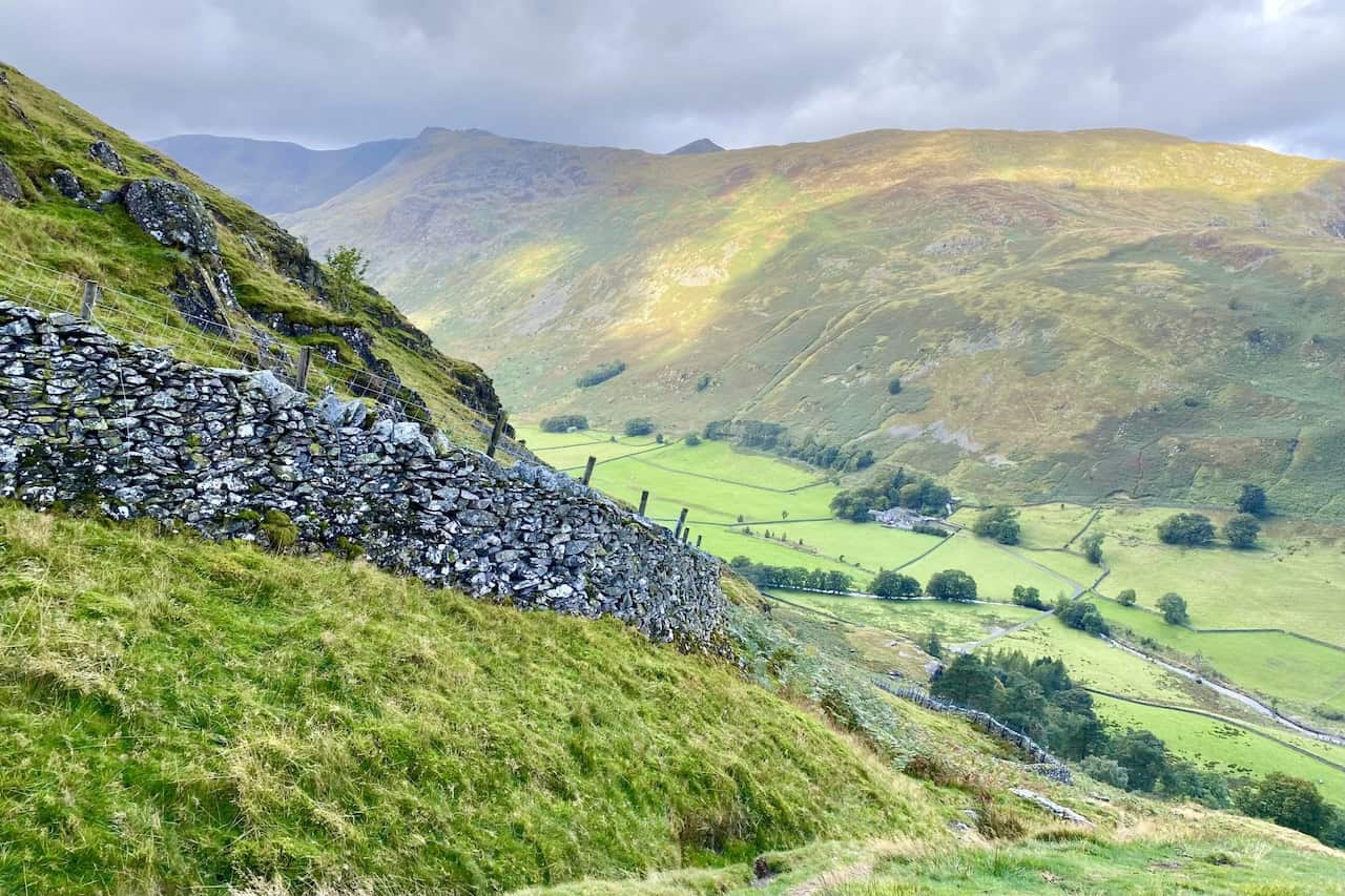
The route from Hartsop above How to Deepdale Bridge generally follows the dry stone wall and affords amazing views of the Place Fell / Angletarn Pikes / Brock Crags range of hills.