From the Chapel Bridge car park near Little Town, west along the minor road for about half a mile, then south-west via Low High Snab all the way through the Scope Beck valley and up to the summit of Robinson. West across Buttermere Moss to High Snockrigg followed by a north-easterly descent to the car park at Newlands Hause. After a climb to the top of Knott Rigg it’s further north-east across the Ard Crags ridge and east via Aikin Knott to meet the road near Gillbrow. Lastly south to the ford on Keskadale Beck and east along the minor road back to the starting point. An 8-mile walk in the Lake District.

Recommended Ordnance Survey Map
The best map to use on this walk is the Ordnance Survey map of the Lake District North-Western Area, reference OS Explorer OL4, scale 1:25,000. It clearly displays footpaths, rights of way, open access land and vegetation on the ground, making it ideal for walking, running and hiking. The map can be purchased from Amazon in either a standard, paper version or a weatherproof, laminated version, as shown below.
Standard Version
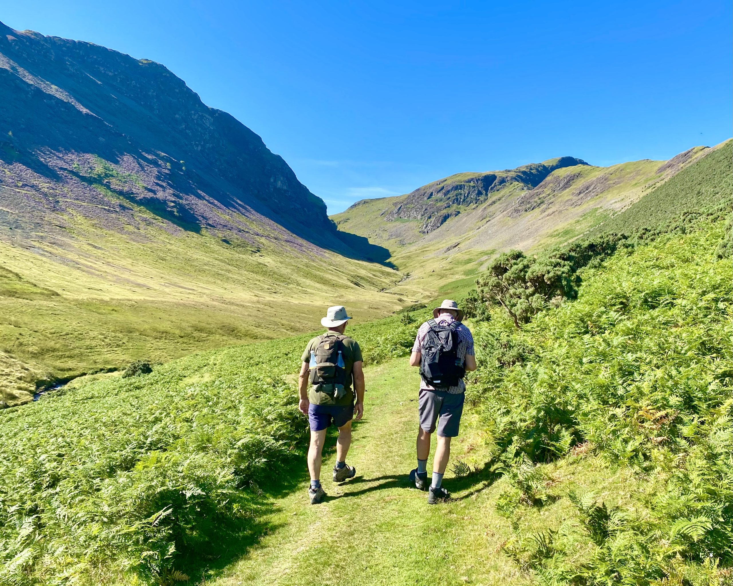
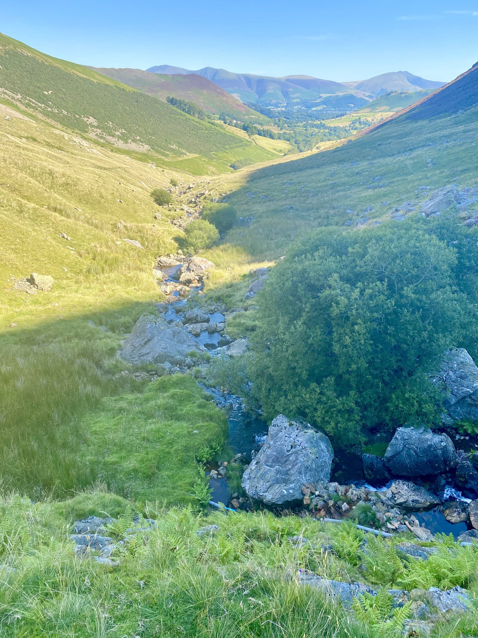
Heading south-west along the footpath through the Scope Beck valley.
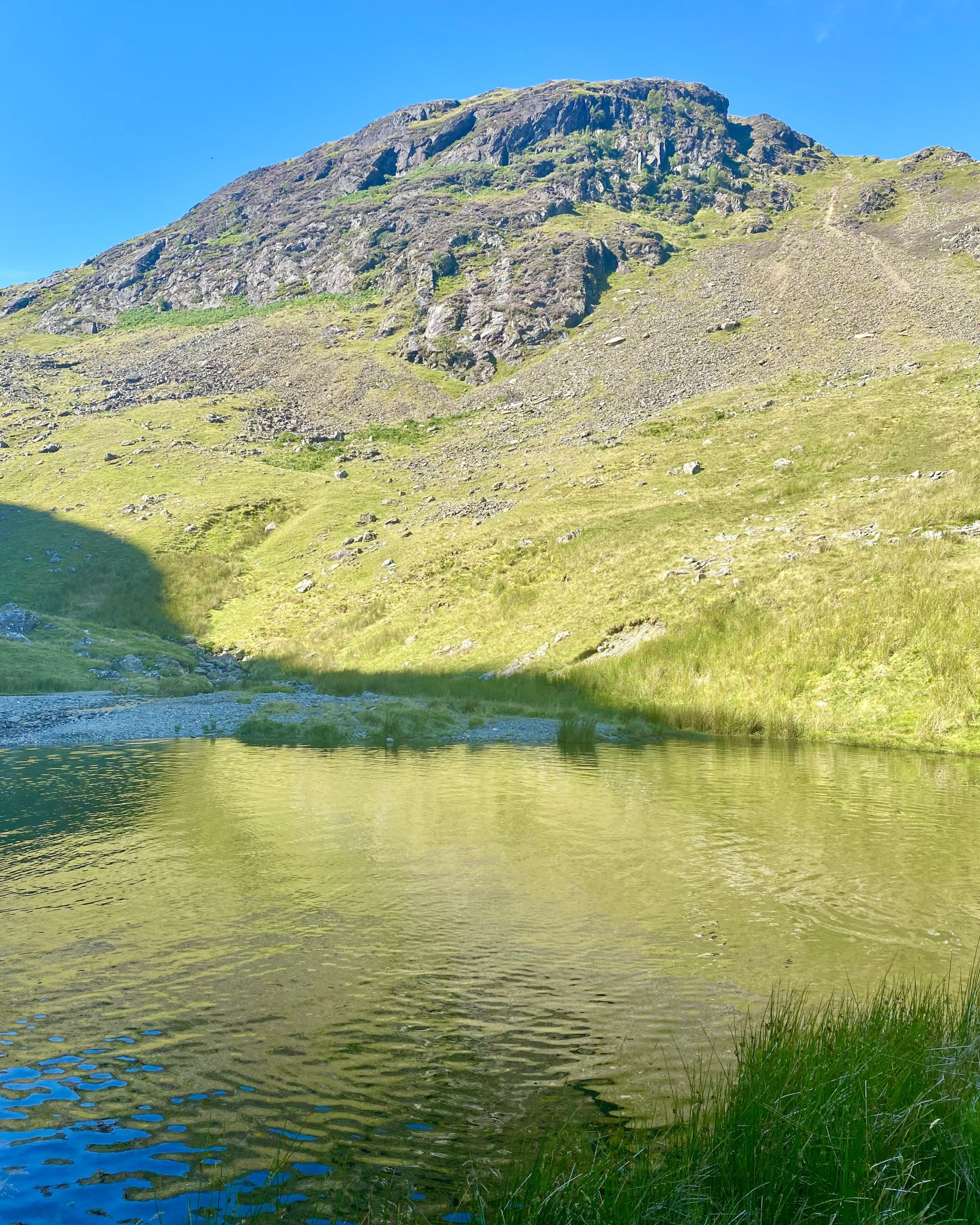
A small, unnamed reservoir beneath Blea Crags.
The view from the reservoir back down the Scope Beck valley, with the Skiddaw and Blencathra mountain ranges in the far distance.
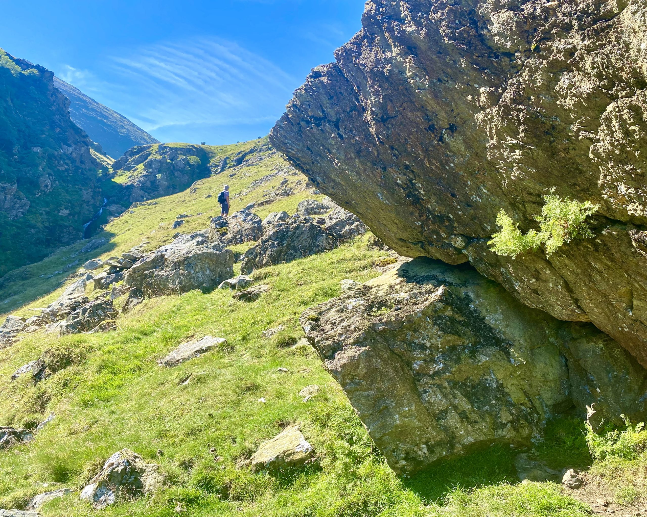
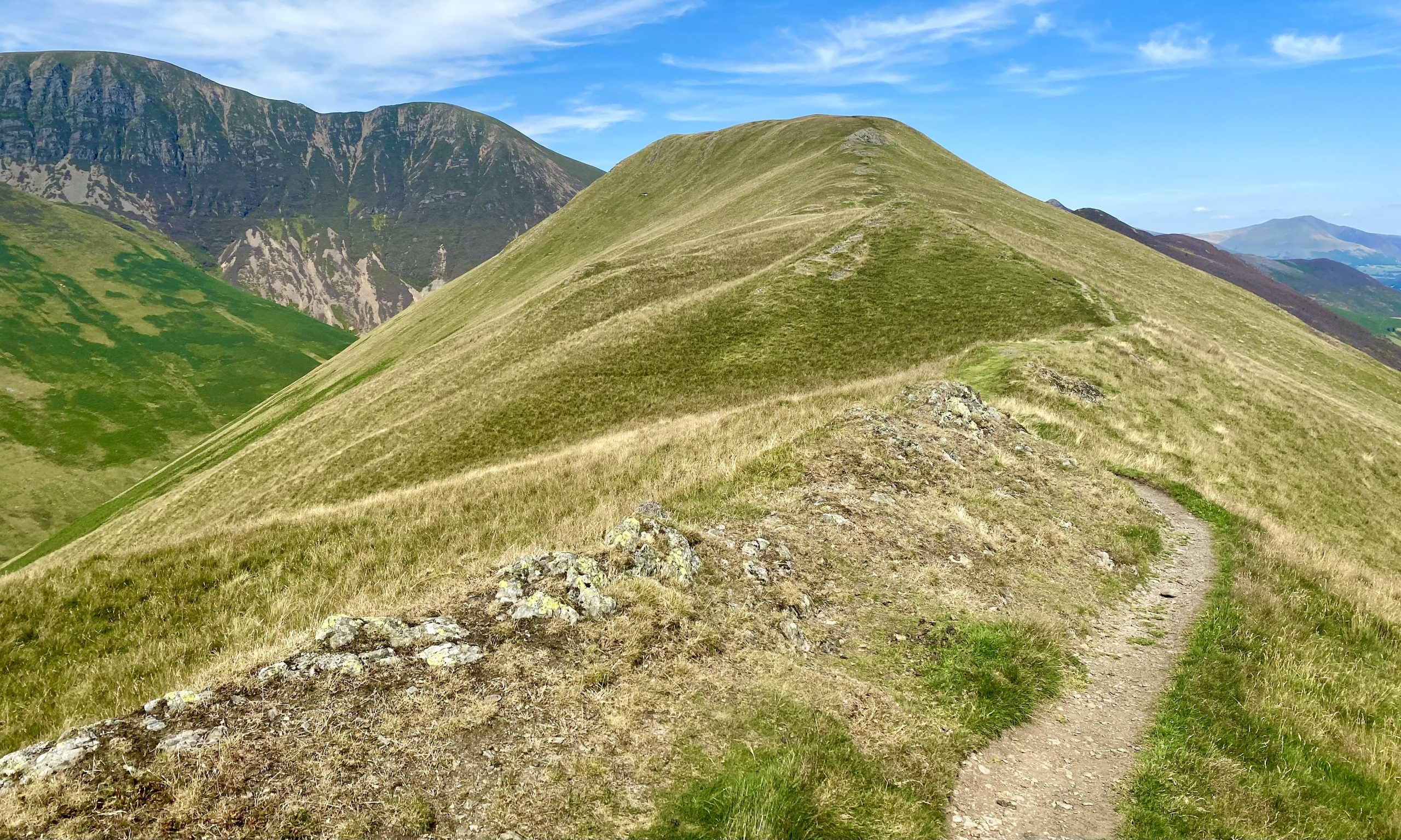
The first section of the path from the reservoir to Robinson steepens, becomes less defined and eventually just disappears.
More fantastic views of the valley and reservoir as we reach higher ground.

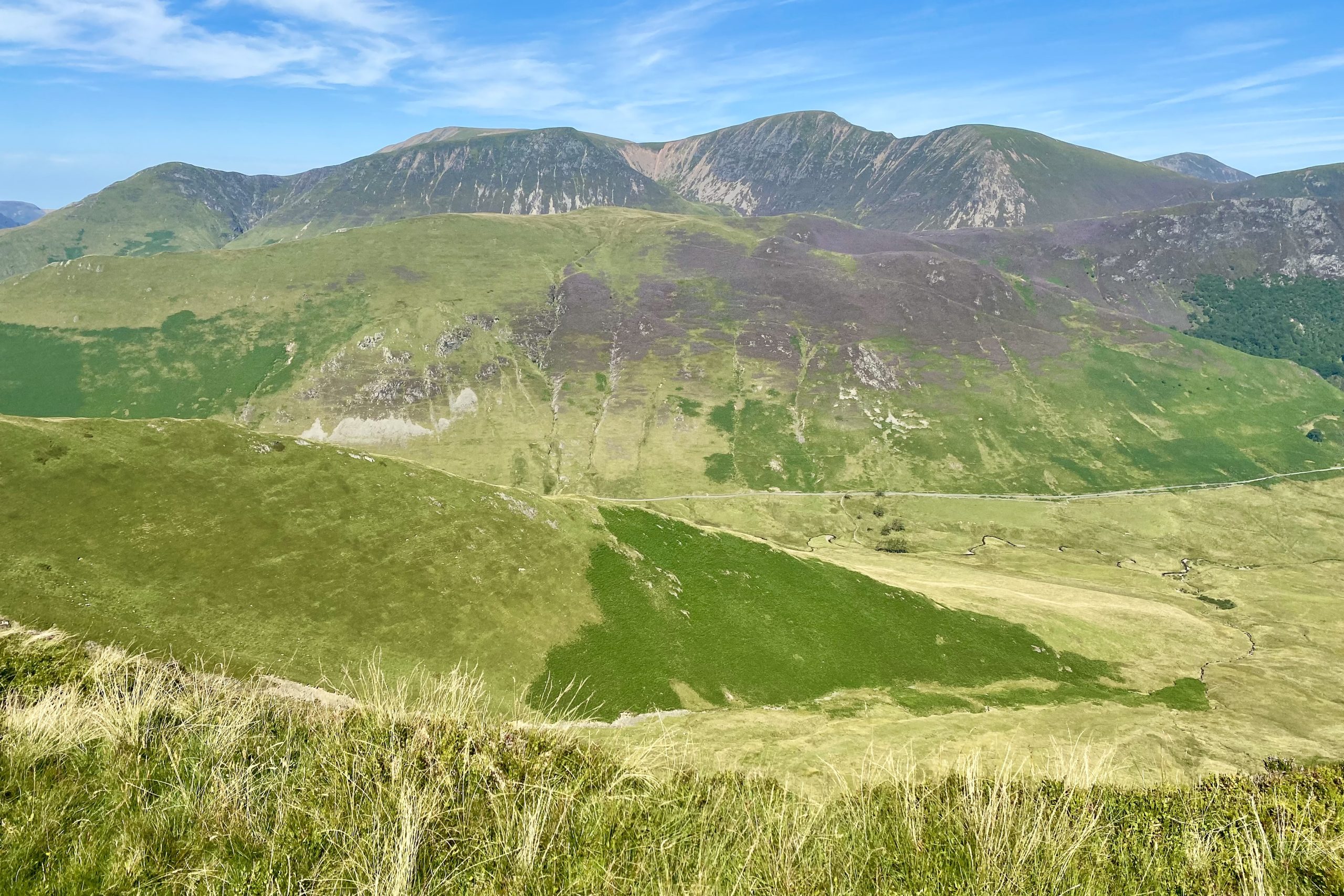
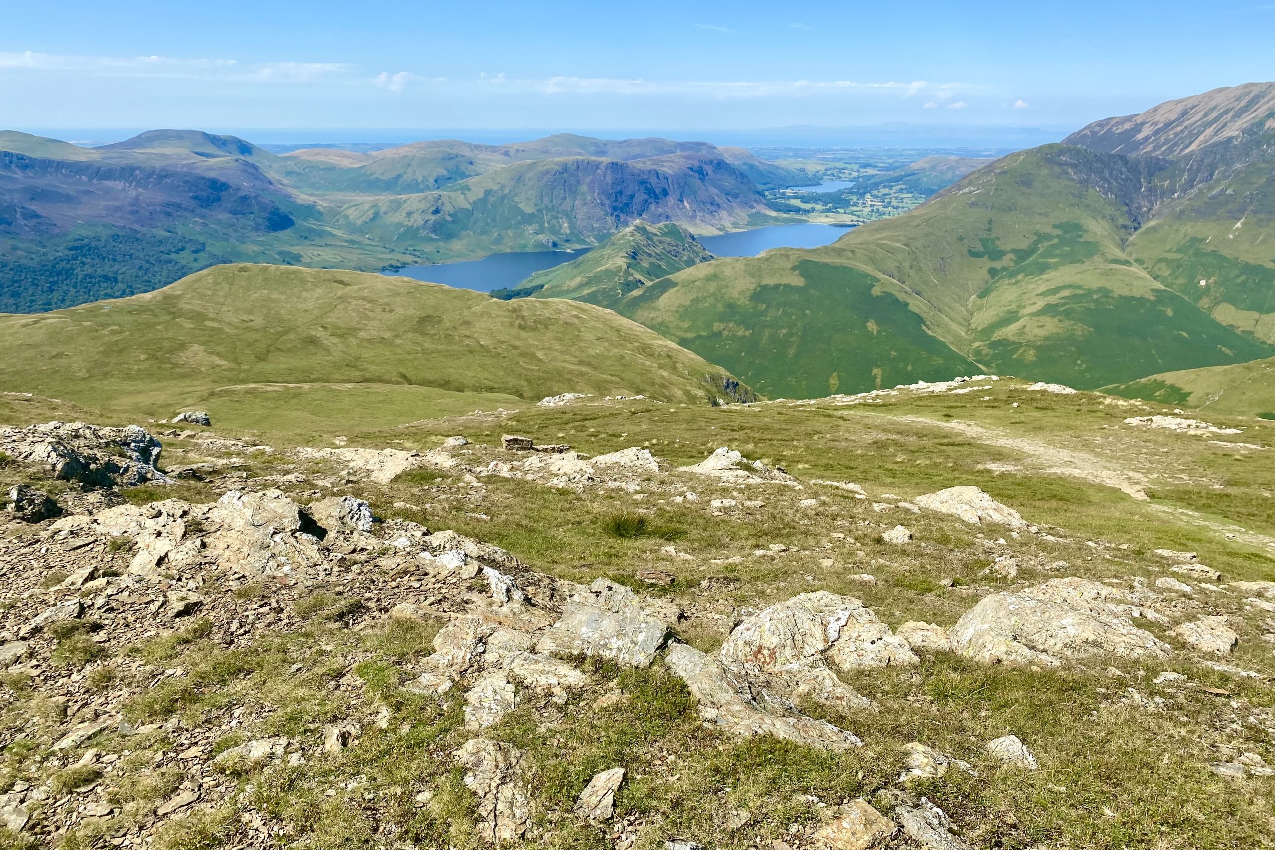
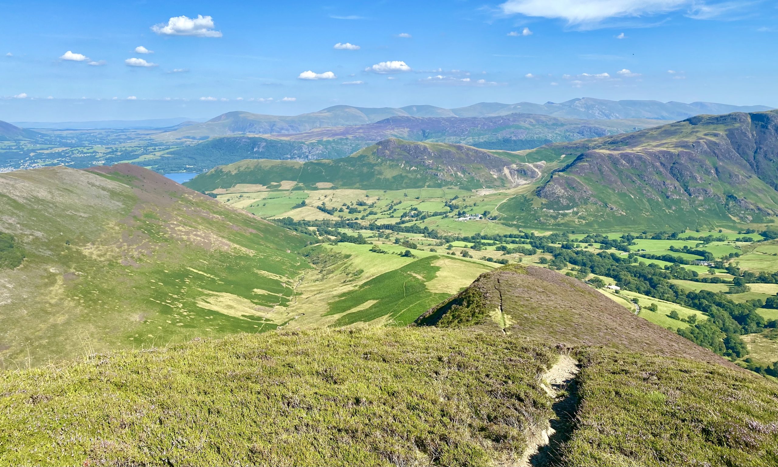
The view north-west towards Knott Rigg and some of the Lake District’s north-western fells, such as Whiteless Pike, Wandope and Crag Hill.
The view south from the Robinson plateau close to its summit. In the far distance on the horizon are the mountains in the Scafell Pike region, like Sca Fell, Scafell Pike, Great Gable, Ill Crag and Great End.

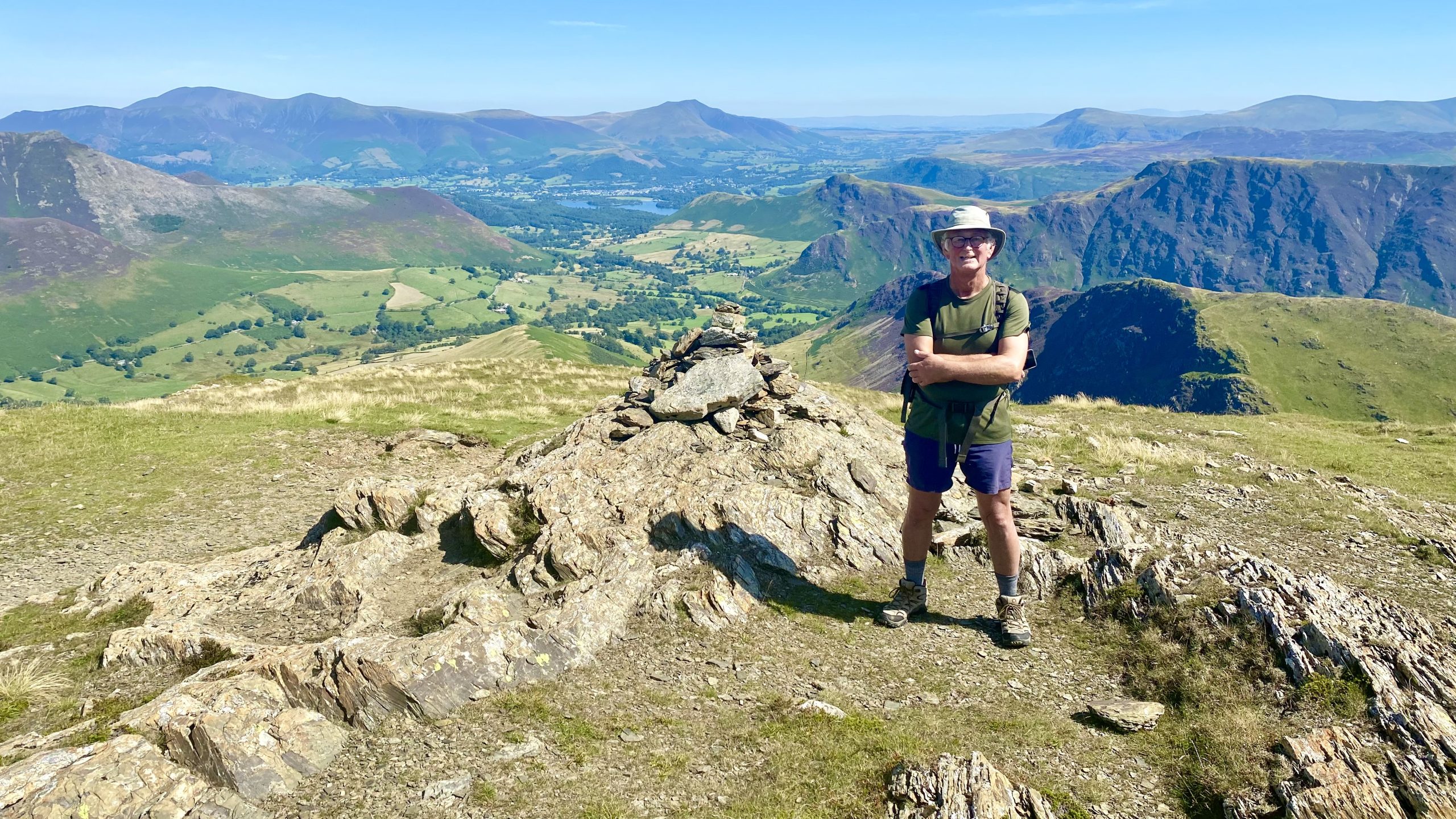
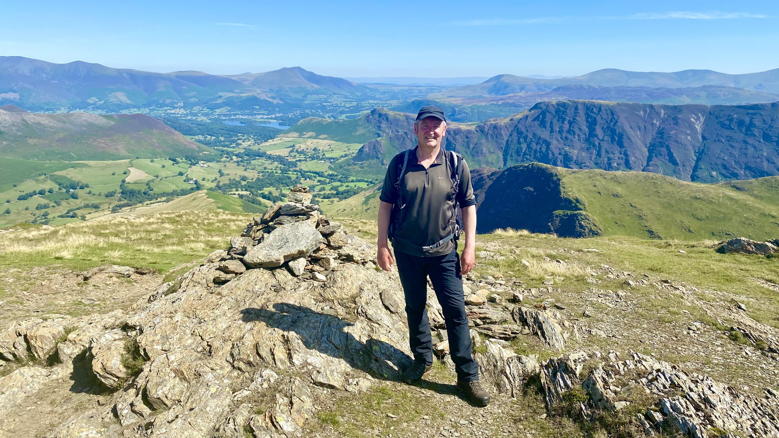
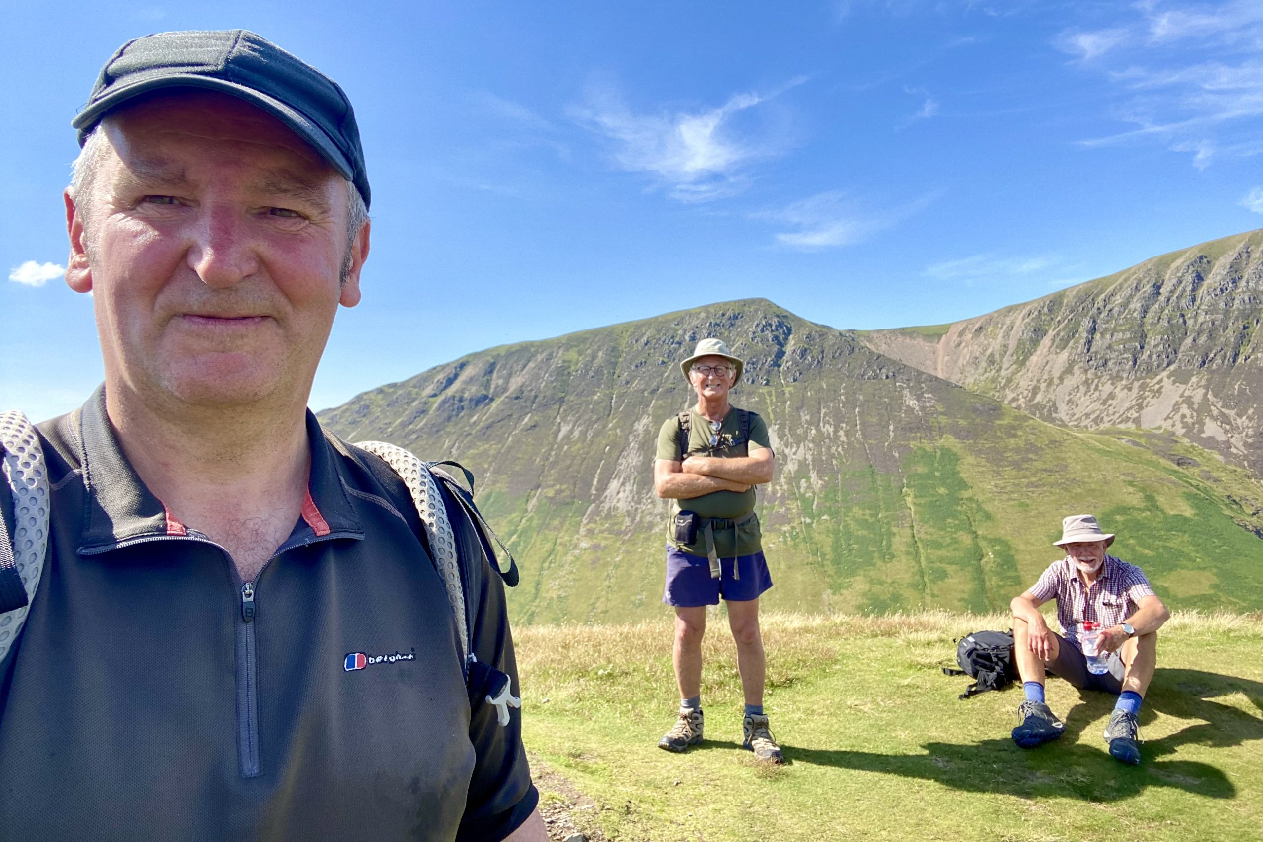
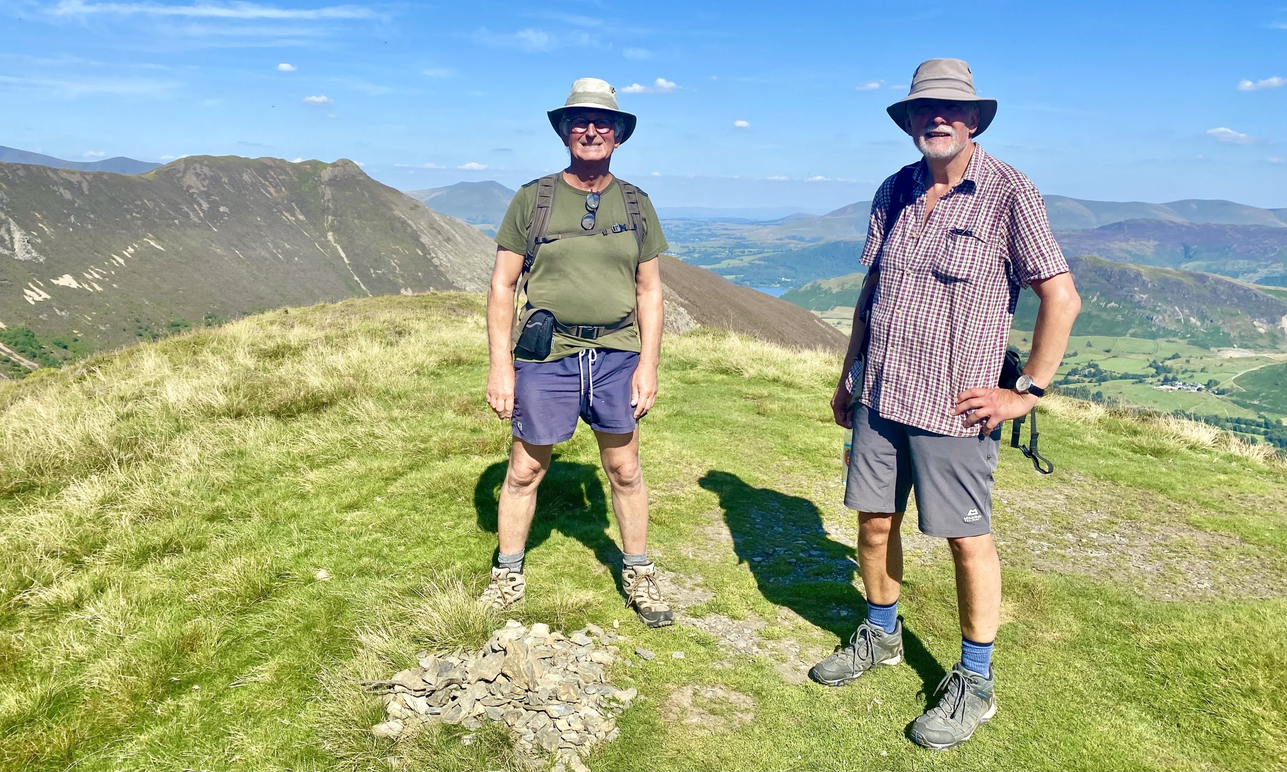
Keith and I at the cairn near the north-east edge of the Robinson plateau. From this height Keswick and Derwent Water are easily visible.
The amazing layered effect of the mountains as seen from the top of Robinson.
Keswick and Derwent Water with Blencathra behind, viewed from Robinson.

Great views of Whiteless Pike, Wandhope, Grasmoor, Crag Hill and Sail.

The Robinson summit, height 737 metres (2418 feet).


Looking north-west from Robinson down to Crummock Water and, further away, Loweswater.

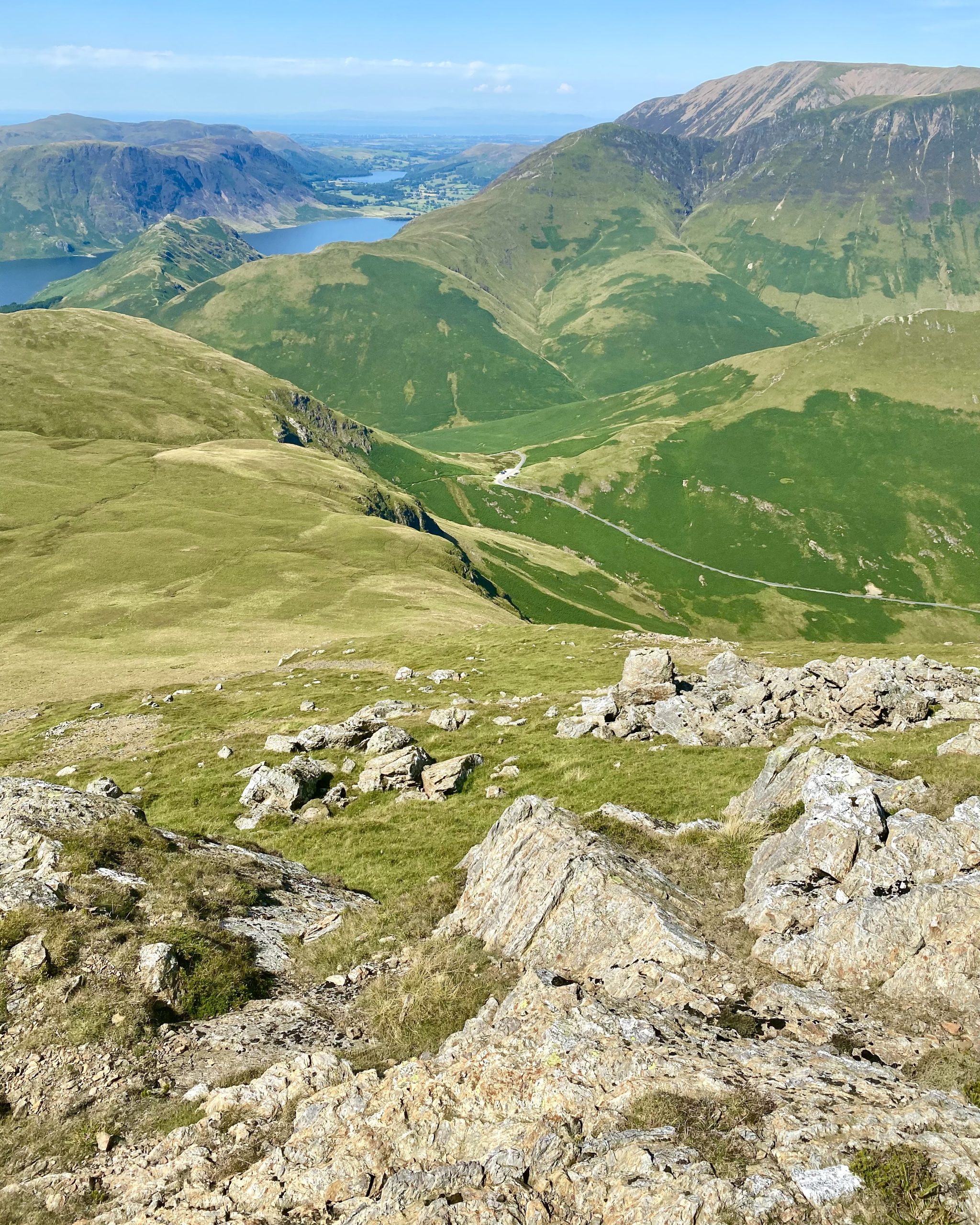
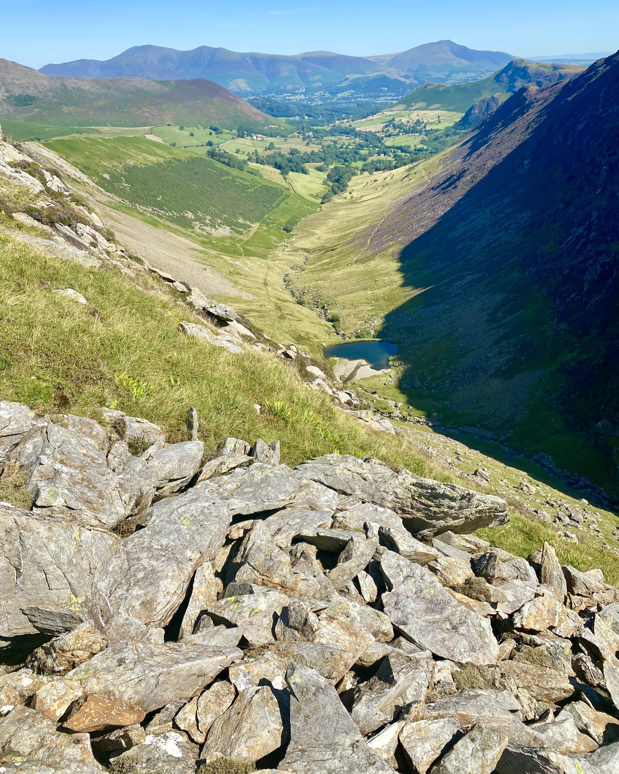
From the path descending High Snockrigg, the view down to the Newlands Hause car park and the route up to Knott Rigg, our next destination.
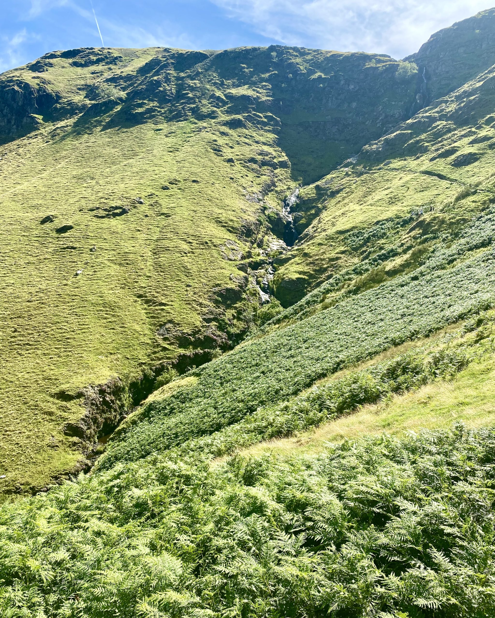
Moss Force (Waterfall) and Moss Beck at Newlands Hause.
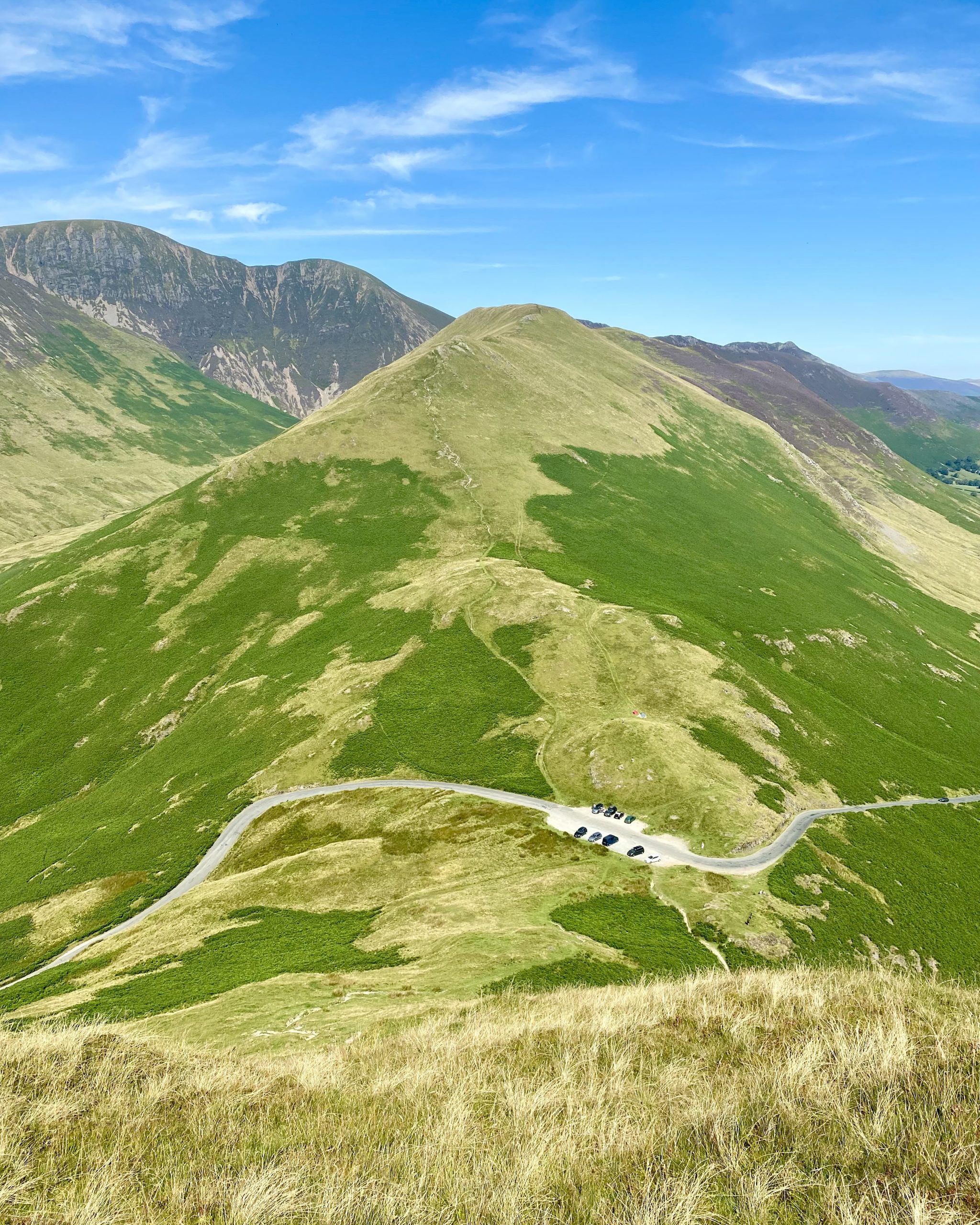
The route to the top of Knott Rigg.
Looking back towards High Snockrigg and Newlands Hause, with the mountain range including Red Pike, High Stile and High Crag in the background.

On the summit of Knott Rigg, height 556 metres (1824 feet).
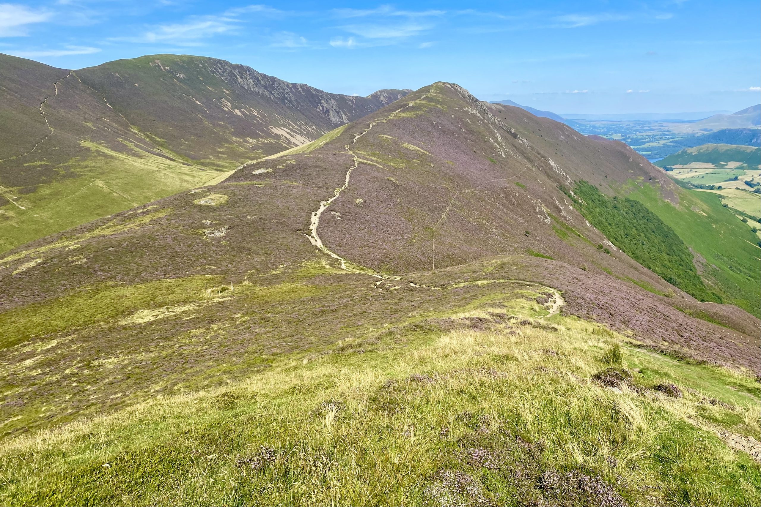
The path from Knott Rigg across the ridge to Ard Crags.
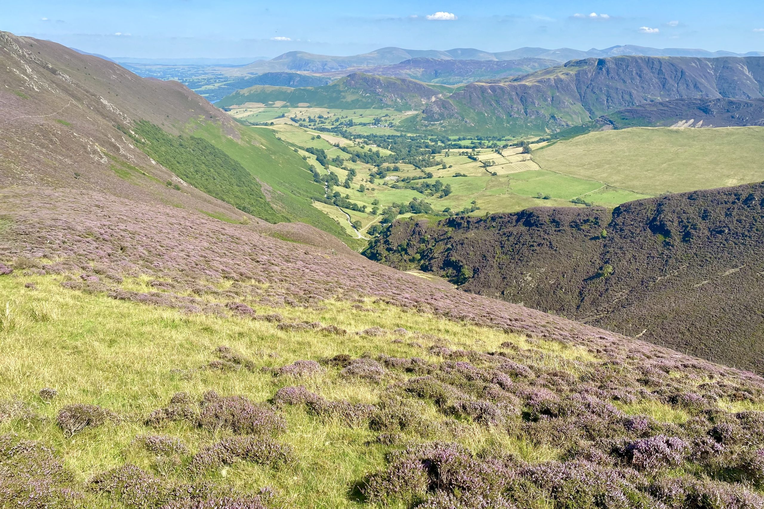
Looking down upon Newlands from the Knott Rigg / Ard Crags ridge.
The south-easterly view towards Robinson, with Hindscarth just behind it to the left.

The Ard Crags summit, height 581 metres (1906 feet).
The view of Causey Pike, easily recognisable by its nipple-shaped top.

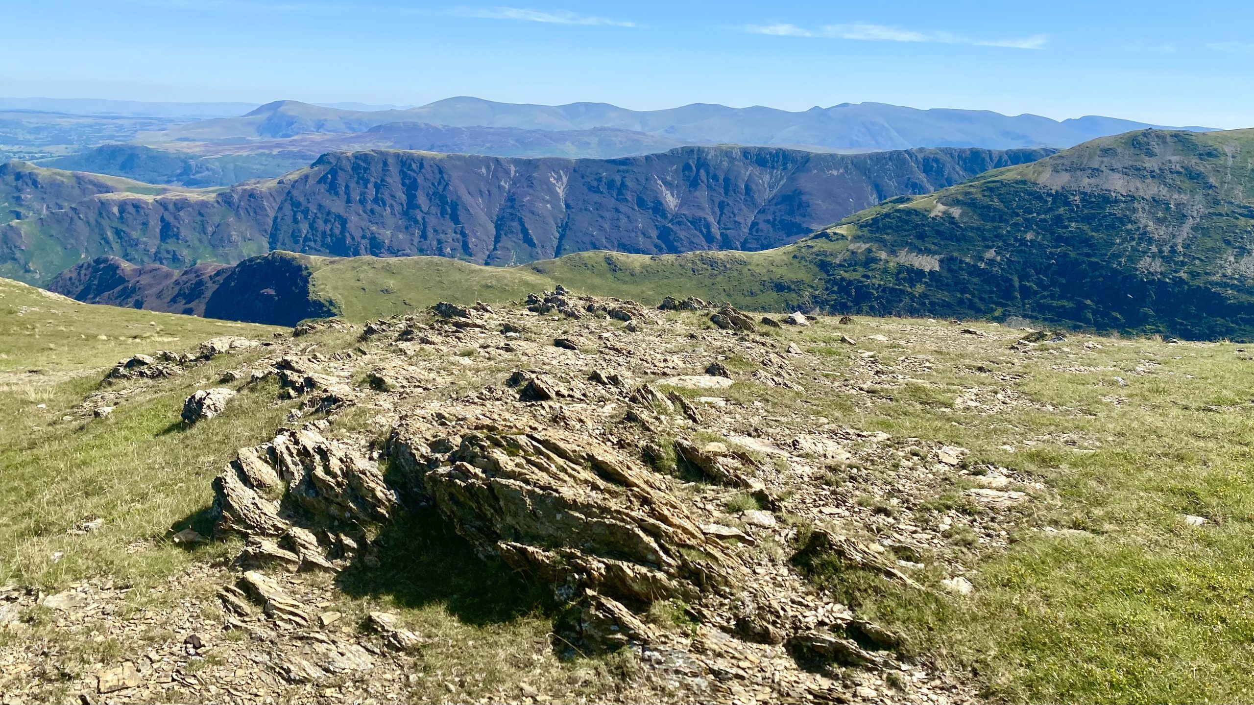
The superb views during the descent of Aikin Knott including, on the horizon, the long range of mountains from Clough Head to Fairfield.

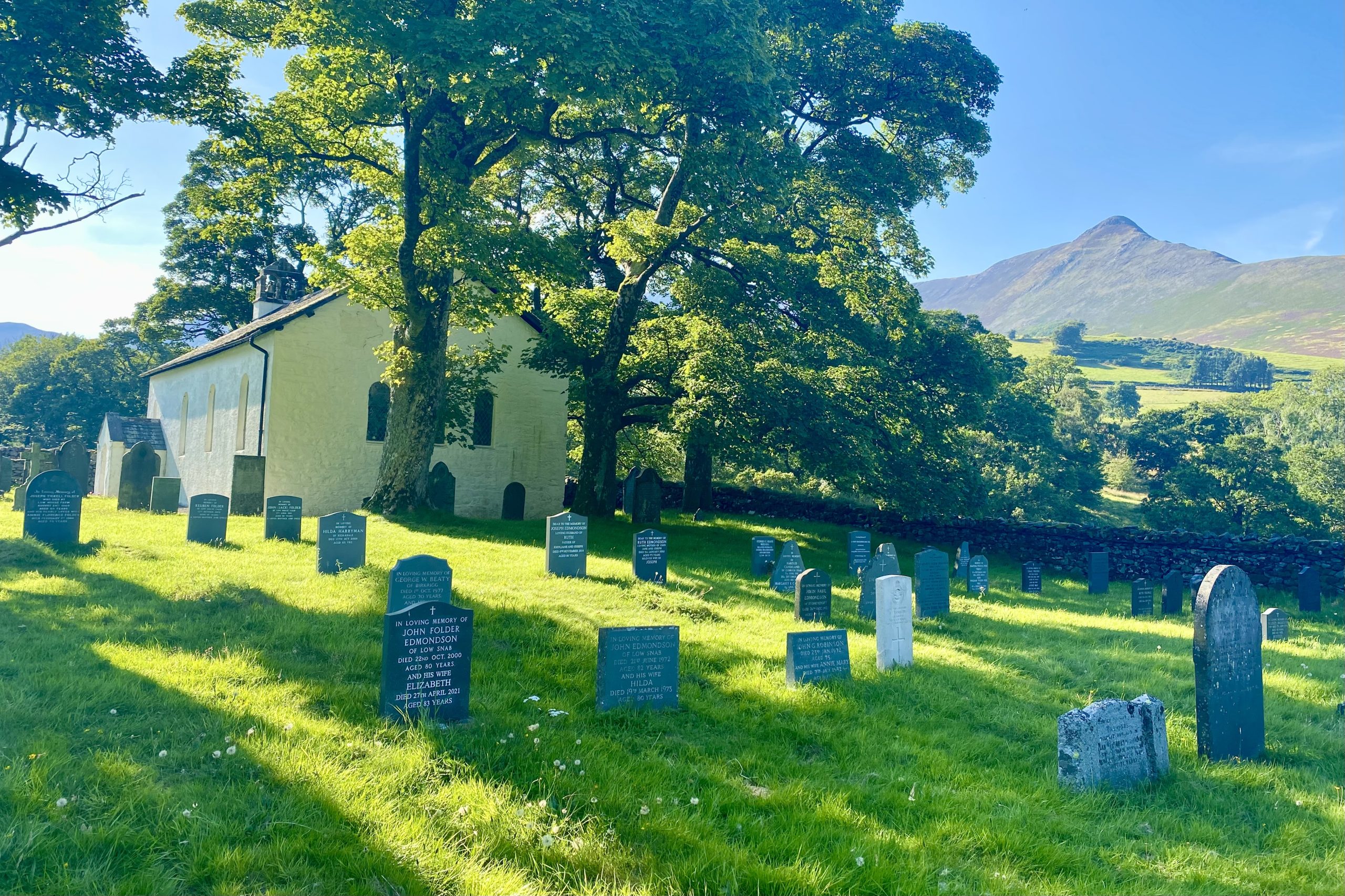
Grade 2 listed, 16th-century Newlands Church just outside the hamlet of Little Town. Attached to the church is a former school. The plaques on the wall read as follows:
NEWLANDS SCHOOL
BUILT BY THE PARISHIONERS
1877, CLOSED 1967
THIS STONE WAS PLACED HERE
IN GRATEFUL MEMORY OF
DOROTHEA POTTS
HEADMISTRESS
1943-1962
NEWLANDS SCHOOL
RESTORED 2000
AND DEDICATED AS A PLACE FOR
QUIET AND REFLECTION BY
IAN, LORD BISHOP OF CARLISLE
ON 9TH APRIL 2000