South from Seathwaite to Stockley Bridge, then south-west to Styhead Tarn following the course of Styhead Gill. Along the Corridor Route to the summit of Scafell Pike, making the final approach via Mickledore on the mountain’s south-west side. North-east past Broad Crag and Great End to Esk Hause, then north through the Grains Gill valley to Stockley Bridge and finally further north back to the starting point. A 9-mile walk in the Lake District.
Recommended Ordnance Survey Map
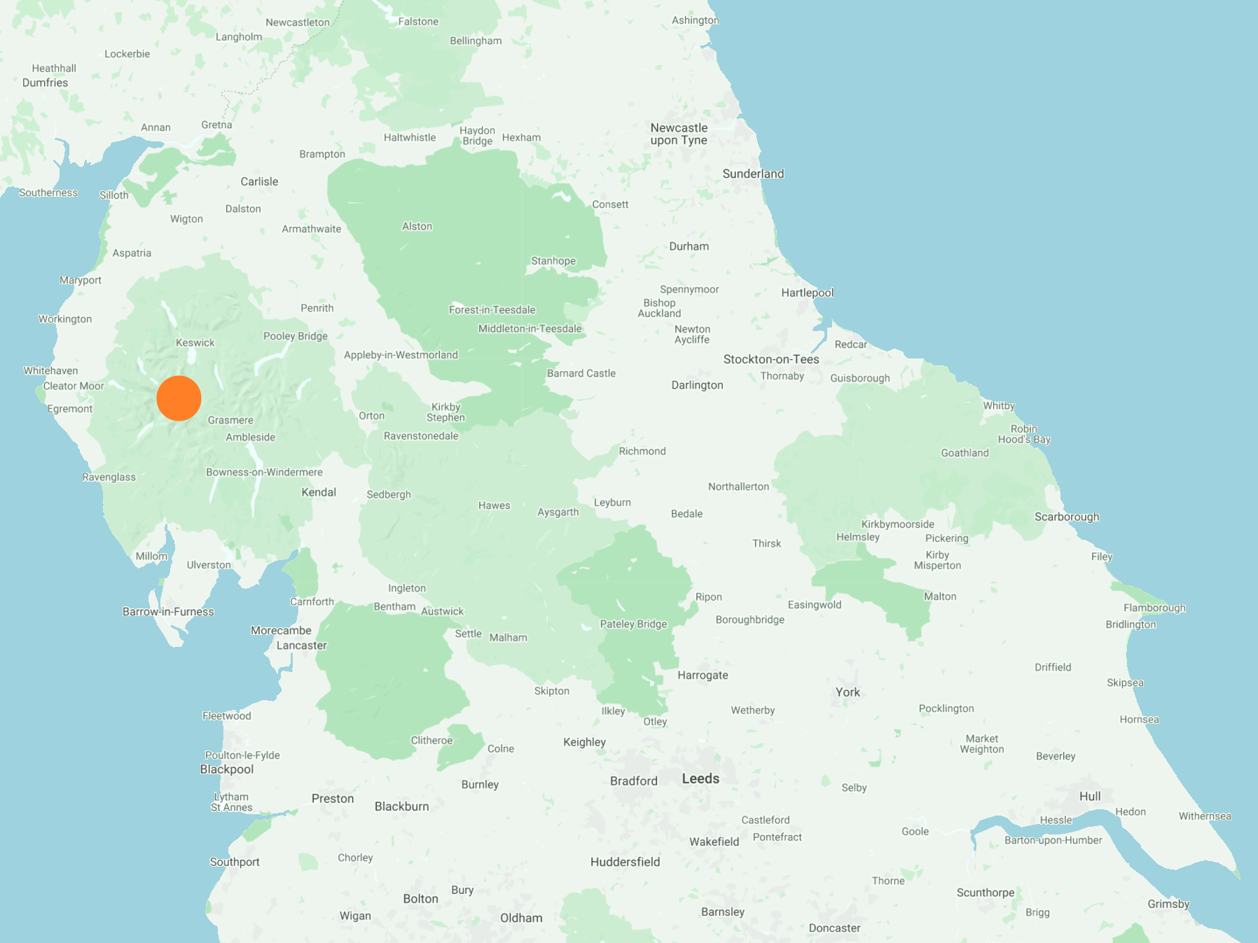
The best map to use on this walk is the Ordnance Survey map of the Lake District South-Western Area, reference OS Explorer OL6, scale 1:25,000. It clearly displays footpaths, rights of way, open access land and vegetation on the ground, making it ideal for walking, running and hiking. The map can be purchased from Amazon in either a standard, paper version or a weatherproof, laminated version, as shown below.
Standard Version
Stockley Bridge across Grains Gill, with Black Waugh and Aaron Crags in the background.

Grains Gill flowing north through Borrowdale, as seen from Stockley Bridge. The River Derwent is formed by the junction of Grains Gill and Styhead Gill a couple of hundred metres further down the valley.

Styhead Tarn below the western slopes of Seathwaite Fell.

Styhead Tarn viewed from Sty Head.

The view west from Spout Head towards Wasdale Head, with Lingmell on the left and Yewbarrow, Stirrup Crag and Red Pike in the distance.

Mike, Mick and I on the Corridor Route north-west of Great End.

The view north from the Corridor Route towards Great Gable.

Great Gable, the high peak in the centre of the picture, height 899 metres (2949 feet).

A narrow gorge cut out by Piers Gill.

Wast Water becomes visible from the western flanks of Scafell Pike.

Climbing up the gully north of Broad Stand in order to get to Mickledore, the narrow ridge connecting the mountains of Sca Fell and Scafell Pike.

Mike has a rest at the top of the gully following the steep climb, but Mick wants to crack on!

Amazing views of the Lake District from Mickledore.


A few photos taken on the rocky summit of Scafell Pike, England’s highest mountain at 978 metres (3209 feet). It’s very busy as usual.


The beautiful Borrowdale valley.
