West from Seatoller along the Honister Pass road to Honister Slate Mine, followed by a steep climb south-west to the summits of Grey Knotts and Brandreth. South up to Green Gable before descending via Aaron Slack to Styhead Tarn, then north-east alongside Styhead Gill to Stockley Bridge. Finally north to Seathwaite then north-east along the minor road back to Seatoller. A 7-mile walk in the Lake District.
Recommended Ordnance Survey Map
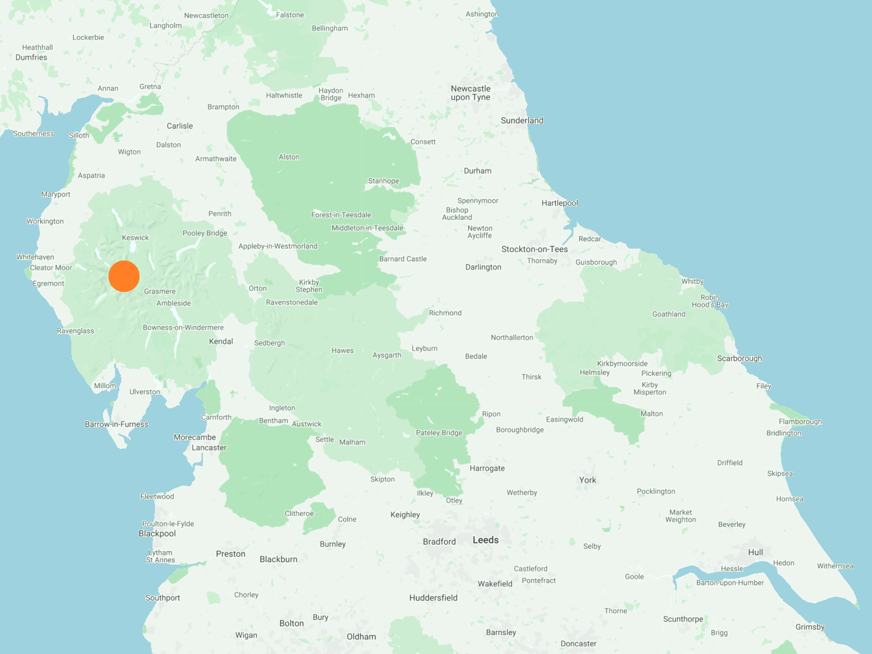
The best map to use on this walk is the Ordnance Survey map of the Lake District North-Western Area, reference OS Explorer OL4, scale 1:25,000. It clearly displays footpaths, rights of way, open access land and vegetation on the ground, making it ideal for walking, running and hiking. The map can be purchased from Amazon in either a standard, paper version or a weatherproof, laminated version, as shown below.
Standard Version
The ‘Honister Pass’ valley between the mountains of Dale Head (right) and Fleetwith Pike (left). The road through the valley follows the course of Gatesgarthdale Beck towards Buttermere.

Seatoller Fell with Rosthwaite just visible in the distance beneath the slopes of Great Crag.

The view of Honister Slate Mine from the northern flanks of Grey Knotts, with Dale Head in the background.

Looking over to High Scawdel, with the snow-covered mountain range of Blencathra in the far background slightly left of centre. The road through the middle of the valley leads to Seatoller and Rosthwaite.

The view south from the summit of Grey Knotts towards Green Gable and Great Gable.

Time for a sit down and a break on Grey Knotts, height 697 metres (2287 feet).
Over Mark’s right shoulder on the horizon is the Helvellyn range of mountains, part of the Lake District’s eastern fells. The range forms a six-mile-long ridge which runs in a north-south direction (left-right in the photo) and doesn’t drop below 600 metres.
The peaks in the mountain range include Clough Head, Great Dodd, Watson’s Dodd, Stybarrow Dodd, Raise, White Side, Helvellyn Lower Man, Helvellyn, Nethermost Pike, High Crag and Dollywaggon Pike.

Following the fence line from Grey Knotts to Brandreth, and the ground beneath the snow is boggy.

Tarn just south of Grey Knotts.

The north-west view from Brandreth towards Buttermere and Crummock Water. Hay Stacks is on the left of the picture, backed by High Crag, High Stile and Red Pike which all form a ridge above Buttermere’s south-west side.

Looking through the valley between Pillar (left) and High Crag (right) from Brandreth. Ennerdale Water is just visible.

The view south from Brandreth towards Great Gable (the highest peak in the photo). The lower peak just to the left of Great Gable is Green Gable.

Great Gable, height 899 metres (2949 feet).

The view north-east from Green Gable with Base Brown just in sight.

Gable Crag on Great Gable’s northern slopes.

Great views from Green Gable, with Hay Stacks, High Crag and High Stile on the right of the valley and Kirk Fell, Looking Stead and Pillar on the left.

Heading down Aaron Slack from Green Gable to Styhead Tarn. In the snow this was a tricky and time-consuming descent.

Styhead Tarn backed by Great End.

The view south across Styhead Tarn. The three main peaks, from left to right, are Great End, Broad Crag and Scafell Pike.

The view south through the Grains Gill valley from Stockley Bridge.

Stockley Bridge.
