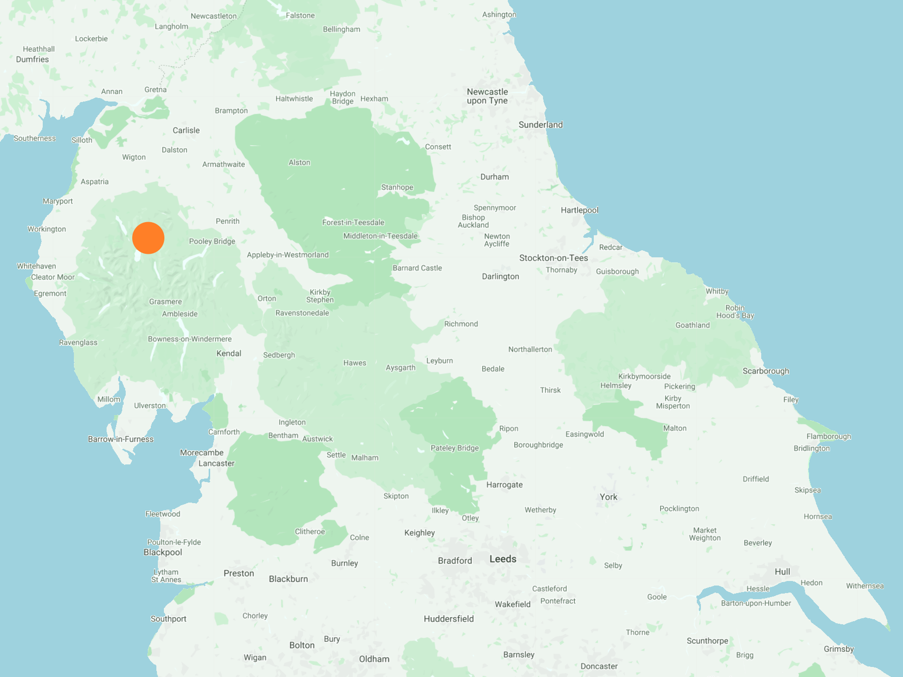
West from Threlkeld via the Blencathra Centre to the top of Latrigg, then south-west along the Cumbria Way into Keswick town centre. Following a visit to the viewpoint in Castlehead Wood on the south side of the town, it’s east to Castlerigg then north-east to the Stone Circle. The return to Threlkeld is along paths, tracks, minor roads and a section of the disused Keswick to Threlkeld railway line. A 13-mile walk in the Lake District.
Recommended Ordnance Survey Map
The best map to use on this walk is the Ordnance Survey map of the Lake District North-Western Area, reference OS Explorer OL4, scale 1:25,000. It clearly displays footpaths, rights of way, open access land and vegetation on the ground, making it ideal for walking, running and hiking. The map can be purchased from Amazon in either a standard, paper version or a weatherproof, laminated version, as shown below.
Standard Version
Waterfall created by Blease Gill just north of Threlkeld.

The Blencathra Centre at the foot of the steep slopes of Blease Fell.


Glenderaterra Beck near Brundholme.


The view over to Derwent Water as I approach Latrigg from Brundholme.

The eastern half of Keswick, and part of Derwent Water overlooked by the tree-covered Walla Crag.

Keswick and Derwent Water as seen from Latrigg.

The western half of Keswick and the villages of Portinscale and Braithwaite viewed from the summit of Latrigg. The north-western fells in the background include Barrow, Rowling End, Causey Pike, Outerside, Sail and Grisedale Pike.

The view north-west from Latrigg to the southern tip of Bassenthwaite Lake.

The western half of Keswick and the villages of Portinscale and Braithwaite viewed from the western flanks of Latrigg. The north-western fells in the background include Causey Pike, Outerside, Sail, Grisedale Pike, Whinlatter and Lord’s Seat.

The view down to Applethwaite and Millbeck, two villages at the foot of the huge Skiddaw mountain range.

Heading into Keswick on the Cumbria Way.

Footbridge over the River Greta in Keswick.

Tree carving in Fitz Park just a few minutes walk from Keswick town centre.


Fantastic views of Keswick and Derwent Water from a small hill in Castlehead Wood to the south of the town.


The view from Castlerigg Farm towards Latrigg and the Skiddaw range of mountains including Lonscale Fell, Little Man, Skiddaw, Carl Side and Dodd.

The view from Castlerigg Farm towards the Blencathra range of mountains including Blease Fell, Hallsfell Top, Doddick Fell and Souther Fell.

The view from Castlerigg Farm towards the Helvellyn range of mountains including Great Dodd, Watson’s Dodd, Raise, White Side and Helvellyn.

Castlerigg Stone Circle
The stone circle was built around 4500 years ago by prehistoric farming communities who settled on the fertile regions fringing the mountainous heart of the Lake District. The site was carefully chosen to impress and draw upon the natural drama provided by the surrounding fells.

Within the circle on its eastern edge is a rectangular arrangement of stones known as the ‘Sanctuary’ which is likely to be a later addition. It may have been constructed to focus attention on one part of the circle to add significance to the rituals taking place within.

Stone circles served an important function with prehistoric communities, providing a setting for ritual or ceremonial activities, social exchanges and the movement of goods. It is possible that negotiations took place here about the seasonal movement of animals into the upland pastures or the right to quarry stone for the manufacture of axes and other tools.

One description of Castlerigg in 1793 refers to a solitary standing stone positioned outside the circle. Later descriptions make no mention of this isolated stone, and it is thought that it was removed to enable the field to be ploughed. A large stone scarred with plough marks now sits near a style in the corner of the field. Could this be the missing standing stone?

The River Glenderamackin at Threlkeld Bridge, with Gategill Fell and Hall’s Fell Ridge in the background.
