North-west out of Threlkeld and north-east below the slopes of Blencathra to Scales Farm. South-east along minor roads and paths to Highgateclose, then generally south via Lobbs across grassland to meet the Old Coach Road near Wolfcrag Moss. North-west on the Hausewell Brow track to the quarries below Threlkeld Knotts, before finally heading north back to the starting point. An 11-mile walk in the Lake District.
Recommended Ordnance Survey Map
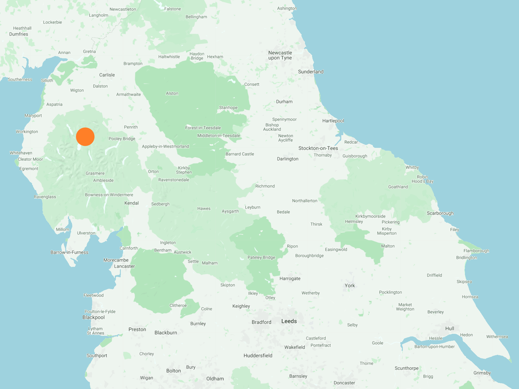
The best map to use on this walk is the Ordnance Survey map of the Lake District North-Eastern Area, reference OS Explorer OL5, scale 1:25,000. It clearly displays footpaths, rights of way, open access land and vegetation on the ground, making it ideal for walking, running and hiking. The map can be purchased from Amazon in either a standard, paper version or a weatherproof, laminated version, as shown below.
Standard Version
Doddick Gill.

Scaley Beck.

Mark, Mick and Michael crossing Scaley Beck.

The view of Blencathra from Highgateclose.

Time for lunch at Lobbs.

A hot day and the 1½ mile crossing from Lobbs to the Old Coach Road was hard going.

Blencathra (also known as Saddleback) as seen from Hausewell Brow.

The view north-east from Hausewell Brow towards Souther Fell and Troutbeck.

Looking over to the Skiddaw mountain range from the disused quarries below Threlkeld Knotts.
