West from Threlkeld to Latrigg via Wescoe, then north along the bridleway to pick up a track between Little Man and Skiddaw. East over Sale How to Skiddaw House, then south to the Blencathra Centre through the valley between Lonscale Fell and Blease Fell. Finally east along a minor road back to Threlkeld. A 13-mile walk in the Lake District.
Recommended Ordnance Survey Map
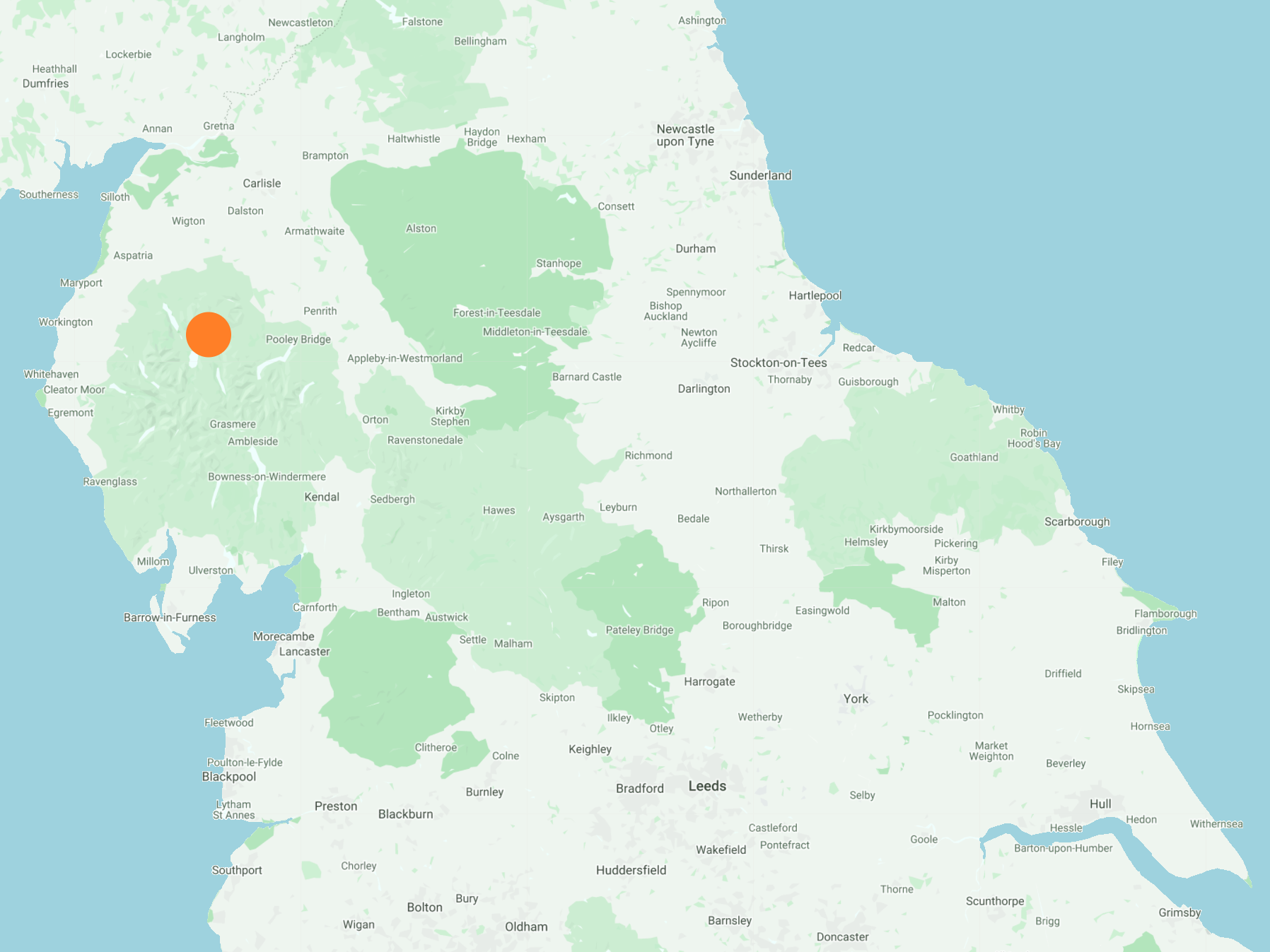
The best map to use on this walk is the Ordnance Survey map of the Lake District North-Western Area, reference OS Explorer OL4, scale 1:25,000. It clearly displays footpaths, rights of way, open access land and vegetation on the ground, making it ideal for walking, running and hiking. The map can be purchased from Amazon in either a standard, paper version or a weatherproof, laminated version, as shown below.
Standard Version
The view west from Wescoe to Latrigg.

Glenderaterra Beck, which flows south between Lonscale Fell and Blease Fell to meet the River Greta at Brundholme.

Glenderaterra Beck at Brundholme. Work is in progress here to repair the Keswick to Threlkeld Railway Trail, which suffered serious damage during floods in December 2015. Two of the old railway bridges over the River Greta and around 200 metres of the trail surface were washed away. A new steel bridge can be seen in the background.


Blease Fell.

Lonscale Fell.

Keswick and Derwent Water as seen from the north-eastern approach to Latrigg.

Looking over to Clough Head on the right-hand side of the solitary tree. Further right are the peaks of Great Dodd, Watson’s Dodd, Raise and Helvellyn.

The eastern half of Keswick, and part of Derwent Water overlooked by Walla Crag.

Keswick and Derwent Water viewed from Latrigg. Fells in the background include Cat Bells, Dale Head, Robinson and Causey Pike.

The view north-west from Latrigg to the southern tip of Bassenthwaite Lake.

The Skiddaw range of mountains as seen from Latrigg. The summit of Skiddaw is hidden by clouds. The three visible peaks, from right to left, are Little Man, Carl Side and Dodd.

The summit of Latrigg, height 368 metres (1207 feet). Despite being one of the lowest fells in the Lake District the views are fantastic.

The view down to Ormathwaite and Applethwaite on the descent of Latrigg.

Memorial cross below Lonscale Fell, in memory of two Skiddaw shepherds Edward and Joseph Hawell.

Keswick, Derwent Water and to the right of the lake the villages of Portinscale and Braithwaite.

Looking back at the Helvellyn range of mountains on the horizon as I and other walkers climb the steep path to Little Man.

Little Man can just be seen on the left-hand side of the Jenkin Hill footpath.

As the wind gains strength and temperatures drop, a family pause for a drink of hot coffee below Little Man.

Approaching Sale How on the eastern side of Skiddaw.

A small pile of stones marks the summit of Sale How, height 666 metres (2185 feet).

Great views north-east from Sale How, with Carrock Fell on the horizon in the centre of the picture. To its right is Bowscale Fell and to its left is High Pike.


The distinctive shape of Lonscale Pike when viewed from the north.

The view south-east from Sale How towards the Blencathra range of mountains.

Skiddaw House
At 472 metres (1550 feet) above sea level, Skiddaw House is the highest hostel in Britain. It was built around 1829 as a keeper’s lodge and grouse shooting base for George Wyndham, the third Earl of Egremont. The Wyndham family, whose descendants became the Lords Leconfield, owned the estate known as Skiddaw Forest and also nearby Cockermouth Castle.

The building was originally divided into two separate dwellings; one side for the gamekeeper and his family and the other for a shepherd’s family. The Earl and his shooting parties also had a few rooms to stay in when they came to visit. This joint usage continued until 1957, when the Leconfield Estate was broken up and Skiddaw House, with its associated grazing lands, were sold to a local farmer. The two resident families left, with just one shepherd staying on to work for the farmer. This shepherd, Pearson Dalton, lived alone in the house (except for his goats, cat and five dogs) for the next 12 years. In 1969, Dalton retired and moved out of Skiddaw House. The building was occasionally used by local schools and the Border Bothies Association but gradually fell into decline. In 1986 the two dwellings were converted into the hostel it is today.

Skiddaw House operated as a youth hostel from 1987 until 2002, when it closed and began to fall into disrepair again. But with the help of the previous hostel manager, many volunteers and the Skiddaw House Foundation (a registered charity), the hostel was renovated and reopened in 2007. It has been welcoming guests ever since, operating as an independent hostel affiliated to the YHA. The building retains many original features, which combined with its interesting history and remote location make the hostel a unique place to stay.

Footbridge across Salehow Beck, south-east of Skiddaw House.

Salehow Beck.

Footbridge which carries the bridleway across Glenderaterra Beck.

The view south along the course of Glenderaterra Beck, which flows through the valley between Lonscale Fell and Blease Fell.

Roughton Gill, a tributary of Glenderaterra Beck, with Lonscale Pike in the background.


Roughton Gill, a tributary of Glenderaterra Beck.

Bridleway on the western slopes of Blease Fell.

The view south-west from below Blease Fell to Latrigg.

Looking back up the Glenderaterra Beck valley, with Lonscale Fell on the left.

The Blencathra Centre.
