Immerse Yourself in Historic Ruins on the Jervaulx Abbey Walk
Begin your pleasant 11-mile Jervaulx Abbey walk, starting in the village of Ellingstring. Set out south-west on the Six Dales Trail, navigating past Ellingstring Plantation woods. Cross the moorland and countryside to reach the Agra Crags, before making a descent to Gollinglith Foot.
Proceed north-west along a minor road, then ascend onto the open moorland. Journey north across Agra Moor, directing your steps towards Sowden Beck Farm. Follow Sowden Beck Road, passing the eastern side of the Witton Fell woodlands.
Upon reaching the village of East Witton, take a moment to explore its simple charm. Continue north to meet the River Ure at Cover Bridge. Follow the Six Dales Trail alongside the River Ure, leading you towards the remarkable Jervaulx Abbey.
Enjoy exploring Jervaulx Abbey and traversing through Jervaulx Park, both offering a subtle blend of history and natural beauty. Conclude your Jervaulx Abbey walk by heading south across the farmland, returning to your starting point in Ellingstring, having experienced a rewarding journey through Nidderdale.
Jervaulx Abbey Walk: Maps and Tools
Visit either the OS Maps website or the Outdooractive website to view this walking route in greater detail. Both platforms offer a range of features, including the ability to print the route, download it to your device, and export the route as a GPX file. You can also watch a 3D fly-over and share the route on social media.
Jervaulx Abbey Walk: Distance, Duration, Statistics
Distance: 11¼ miles
Distance: 18¼ kilometres
Duration: 5¼ hours
Ascent: 1422 feet
Ascent: 433 metres
Type: Circular walk
About Jervaulx Abbey
Jervaulx Abbey, situated in East Witton, 14 miles north-west of Ripon in Yorkshire, England, was established as a notable Cistercian abbey and dedicated to St Mary in 1156. It holds Grade I listed building status.
The name ‘Jervaulx’ was first documented in 1145 as ‘Jorvalle’, translating from French to ‘the Ure valley’, potentially an adaptation from the English ‘Ure-dale’ or Yoredale, with the valley currently known as Wensleydale.
Originally, the abbey was a Savigniac foundation from Normandy and later assumed by the Cistercian order from Burgundy, under the auspices of Byland Abbey. It was founded in 1145 near Aysgarth at Fors and relocated a decade later closer to the River Ure. In that year, during King Stephen’s reign, Akarius Fitz Bardolph, Lord of Ravensworth, granted land at Fors and Worton in Wensleydale to Peter de Quinciano, a monk from Savigny, to establish a monastery. Initially known as the Abbey of Fors, it later assumed other names including Jervaulx and Charity. The original Fors Abbey site, known subsequently as Dale Grange and presently as the Grange, is located in the hamlet Grange, five miles west-north-west of Aysgarth.
The establishment faced opposition from Serlo, Abbot of Savigny, as it was founded without his approval. Consequently, he withheld supplying monks. Eventually, the foundation was passed to Byland Abbey, from which monks were dispatched. After enduring hardships, largely due to scant resources and infertile lands, their situation improved when Conan, son of Alan, 1st Earl of Richmond, augmented their revenues and in 1156 relocated the monastery to a more favourable site in East Witton.
A new church and monastery dedicated to St Mary were constructed there. At its zenith, the abbey possessed half of the valley, gained renown for horse breeding – a tradition persisting in Middleham today – and originated the production of Wensleydale cheese, initially crafted from ewes’ milk. In 1279, Abbot Philip of Jervaulx was killed by a fellow monk. His successor, Abbot Thomas, was initially accused but subsequently exonerated by a jury, with another monk fleeing after being declared an outlaw.
At the time of its Dissolution, documented by John Speed, the abbey was valued at £455 10s. 5d. The final abbot, Adam Sedbergh, participated in the Pilgrimage of Grace and was executed at Tyburn in June 1537, leading to the forfeiture of the monastic property to the king.
Recommended Ordnance Survey Map
The best map to use on this walk is the Ordnance Survey map of Northallerton & Thirsk, reference OS Explorer 302, scale 1:25,000. It clearly displays footpaths, rights of way, open access land and vegetation on the ground, making it ideal for walking, running and hiking. The map can be purchased from Amazon in either a standard, paper version or a weatherproof, laminated version, as shown below.
Jervaulx Abbey Walk: My Photos
The village of Ellingstring, the starting point of this Jervaulx Abbey walk.
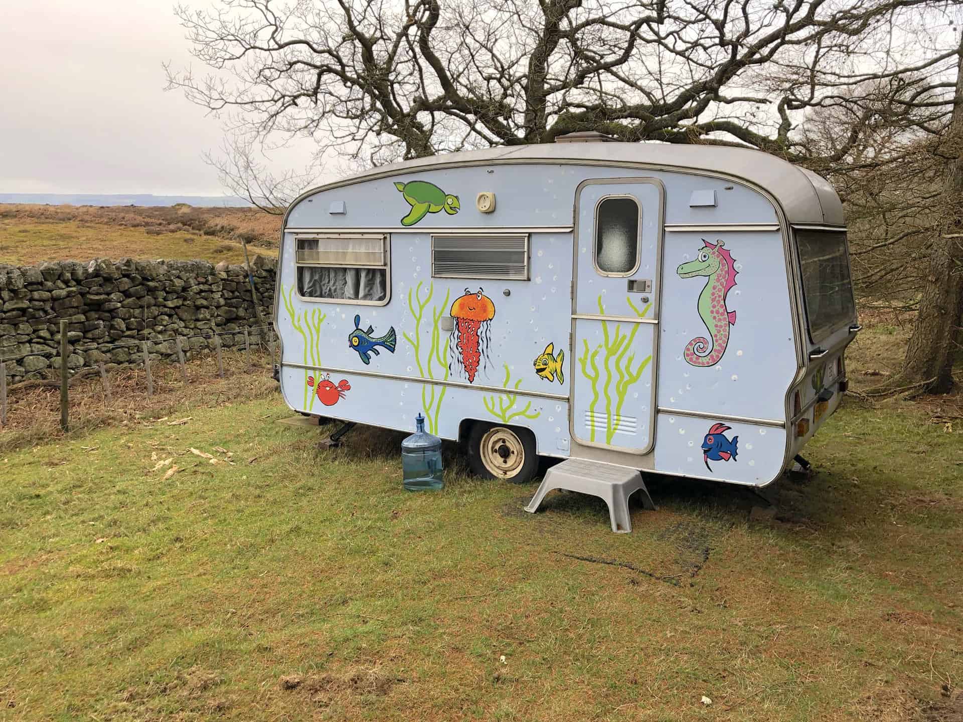
Caravan in the Ellingstring Plantation woodlands.
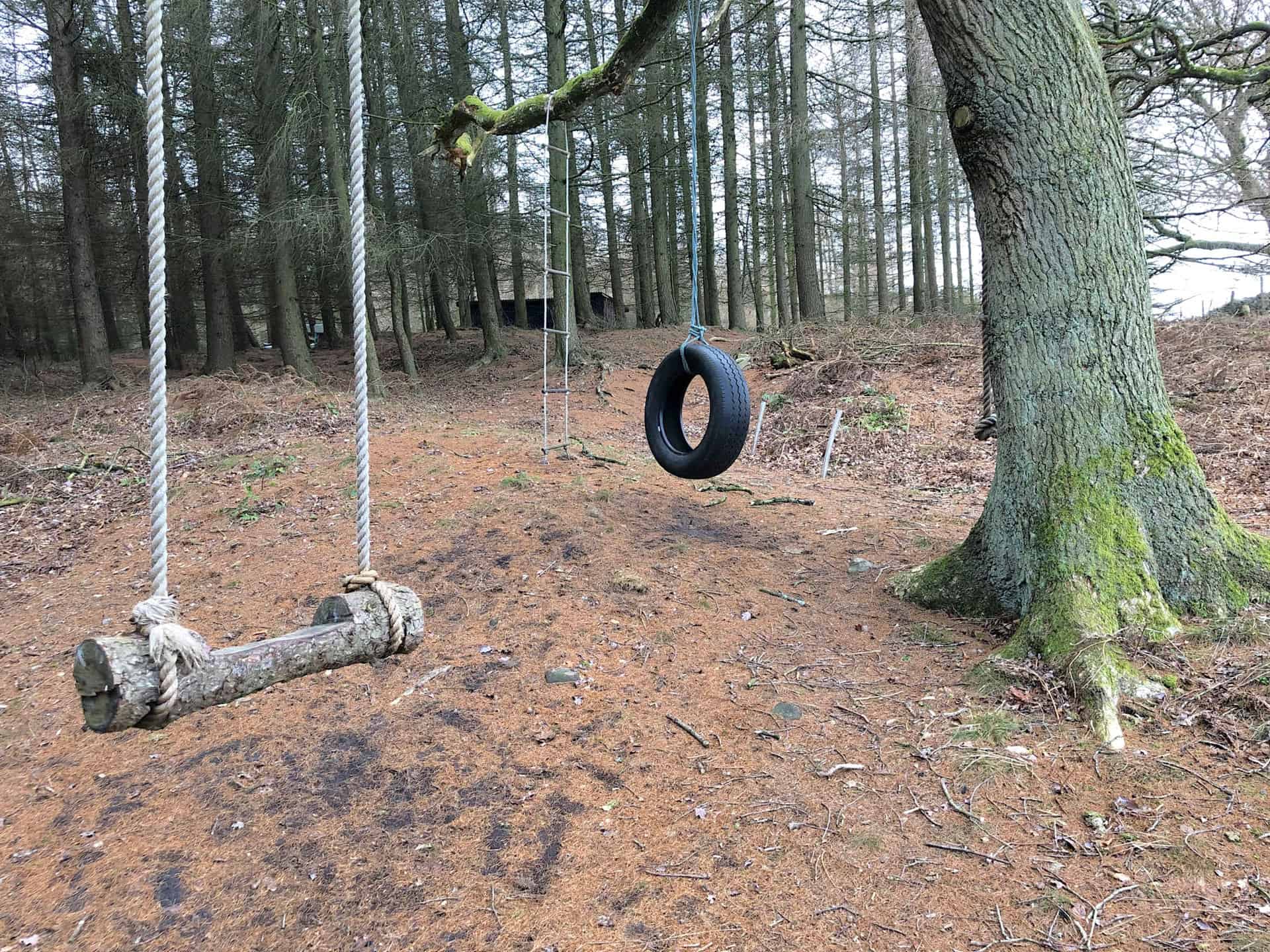
Children’s play area in the Ellingstring Plantation woodlands.
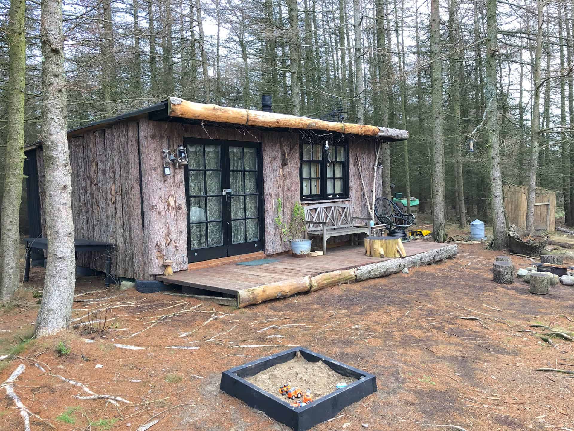
Log cabin in the Ellingstring Plantation woodlands.
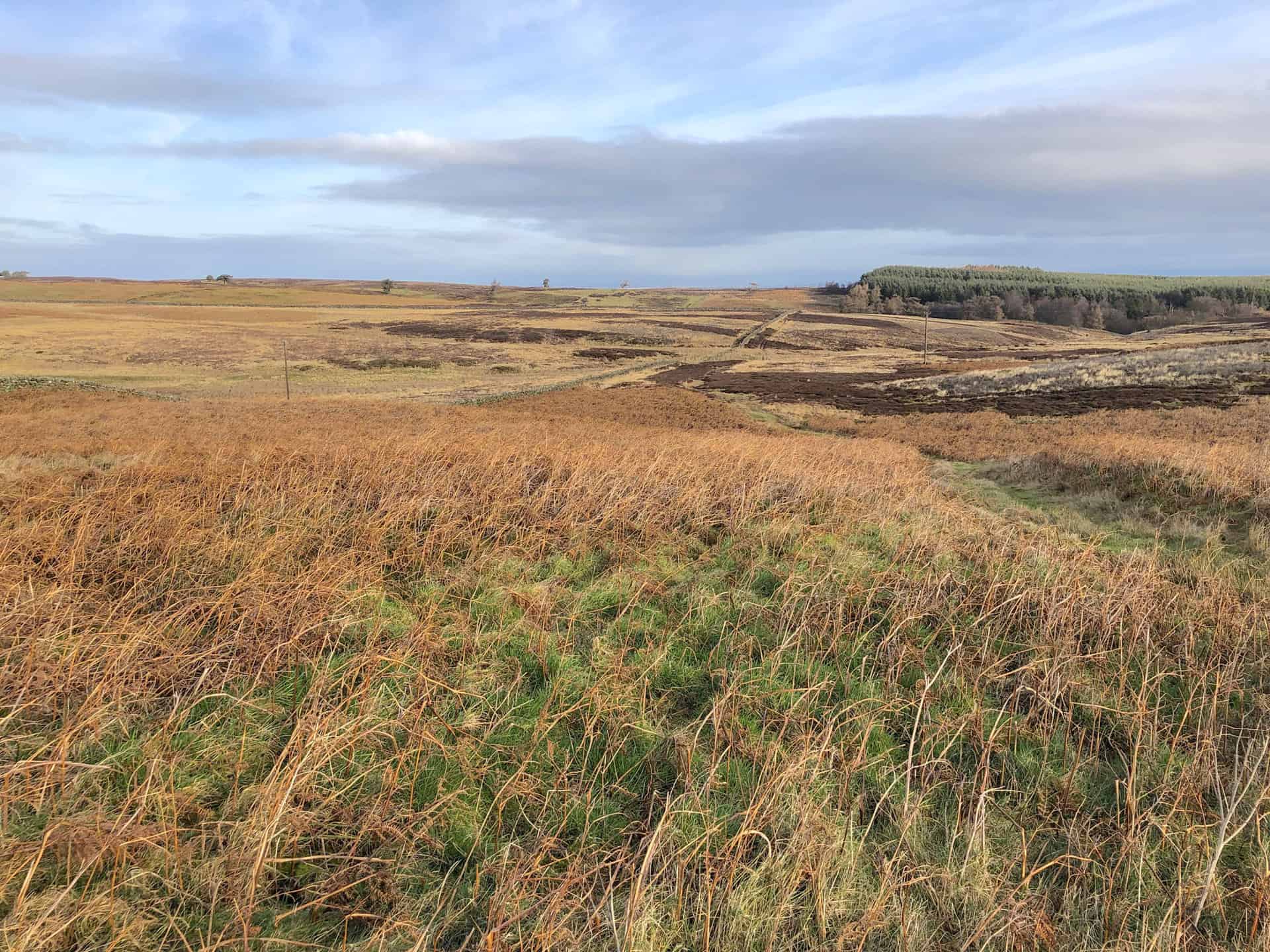
Witton Moor as seen during the Jervaulx Abbey walk.
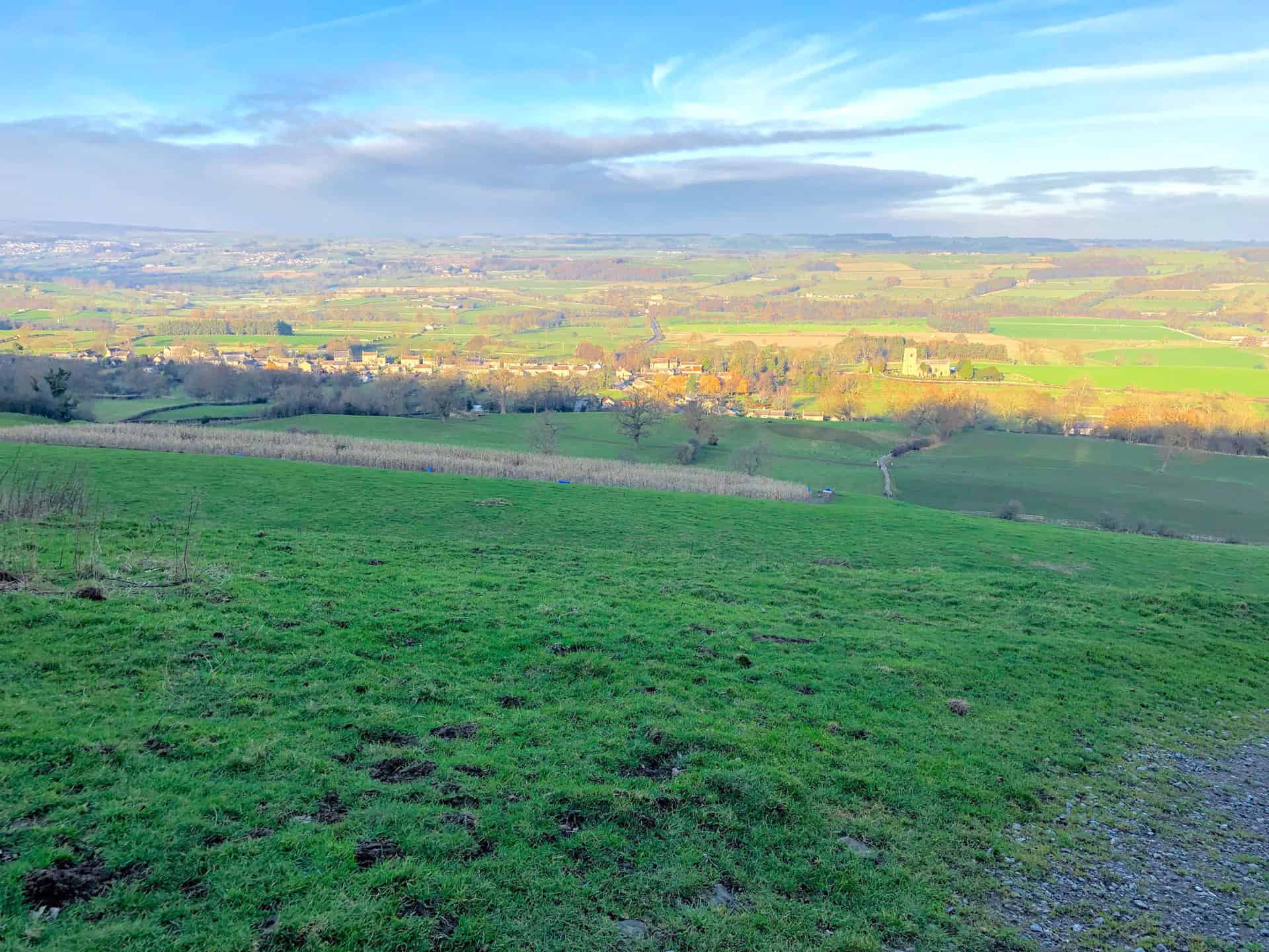
The view of East Witton in Wensleydale, with Leyburn in the background (left).
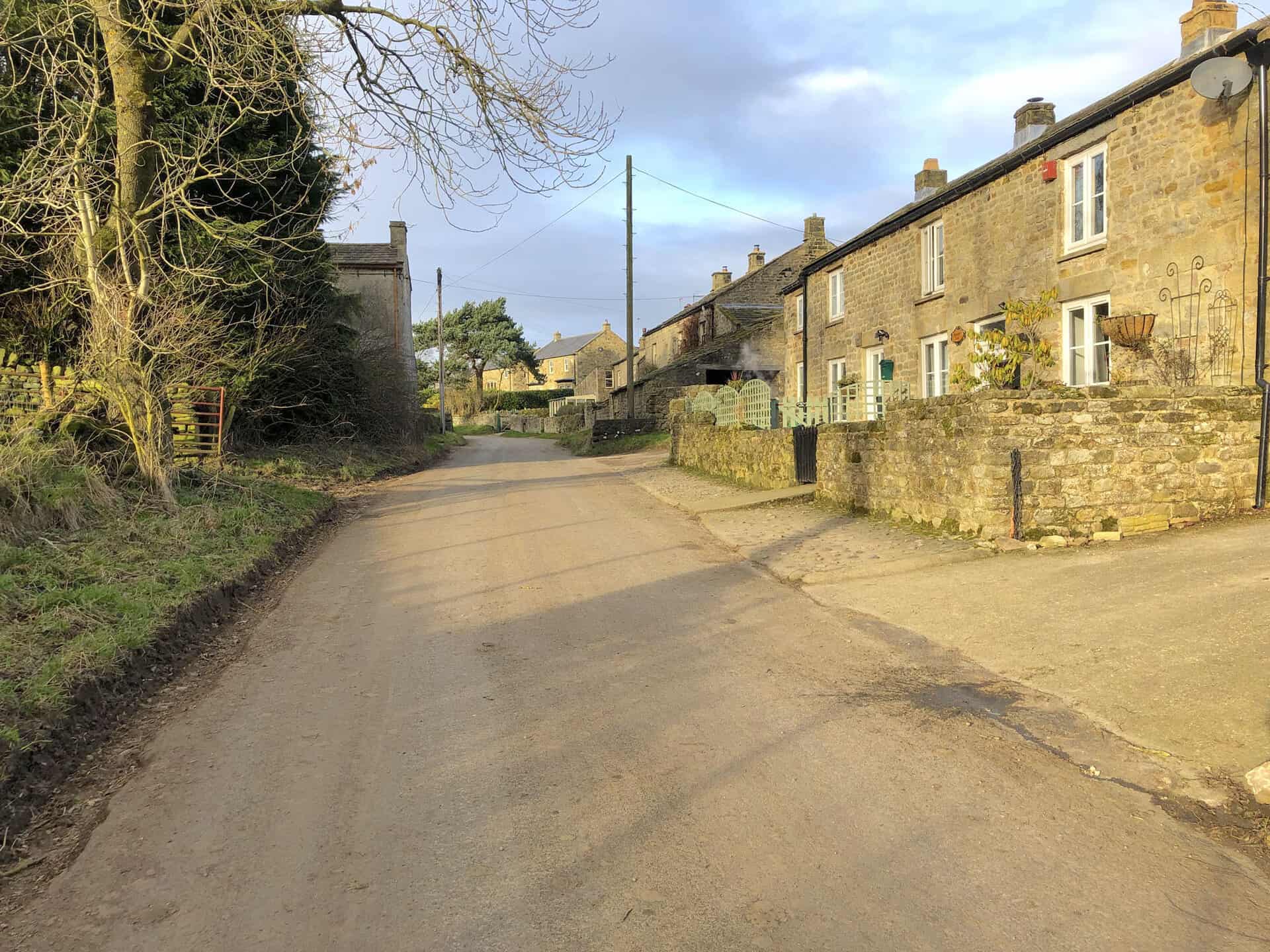
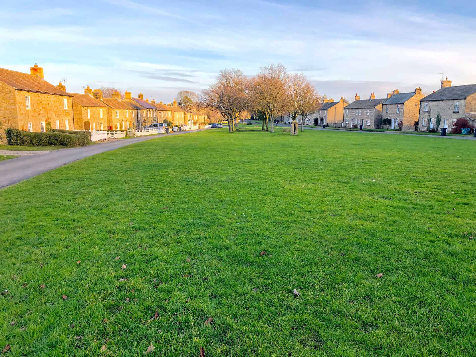
The lovely village of East Witton.
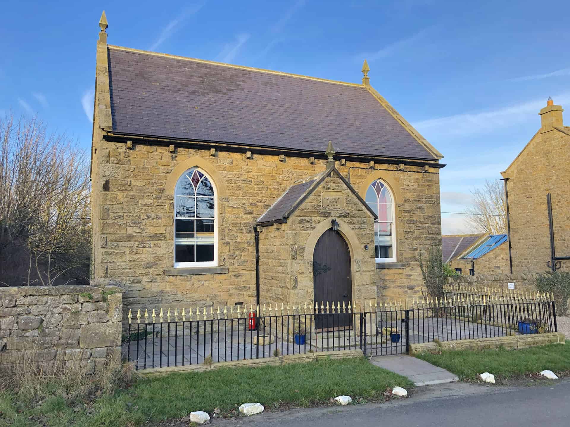
The Old Chapel, East Witton, now a luxury holiday home.
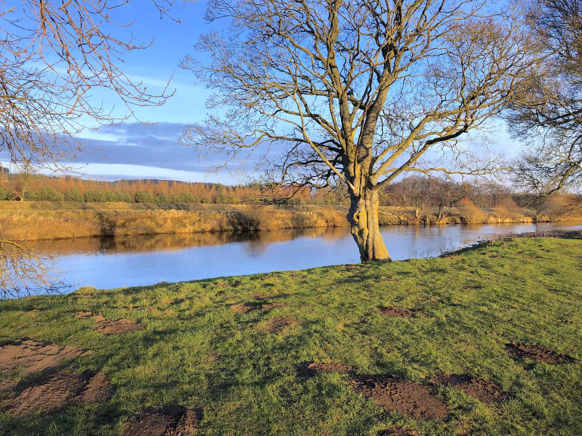
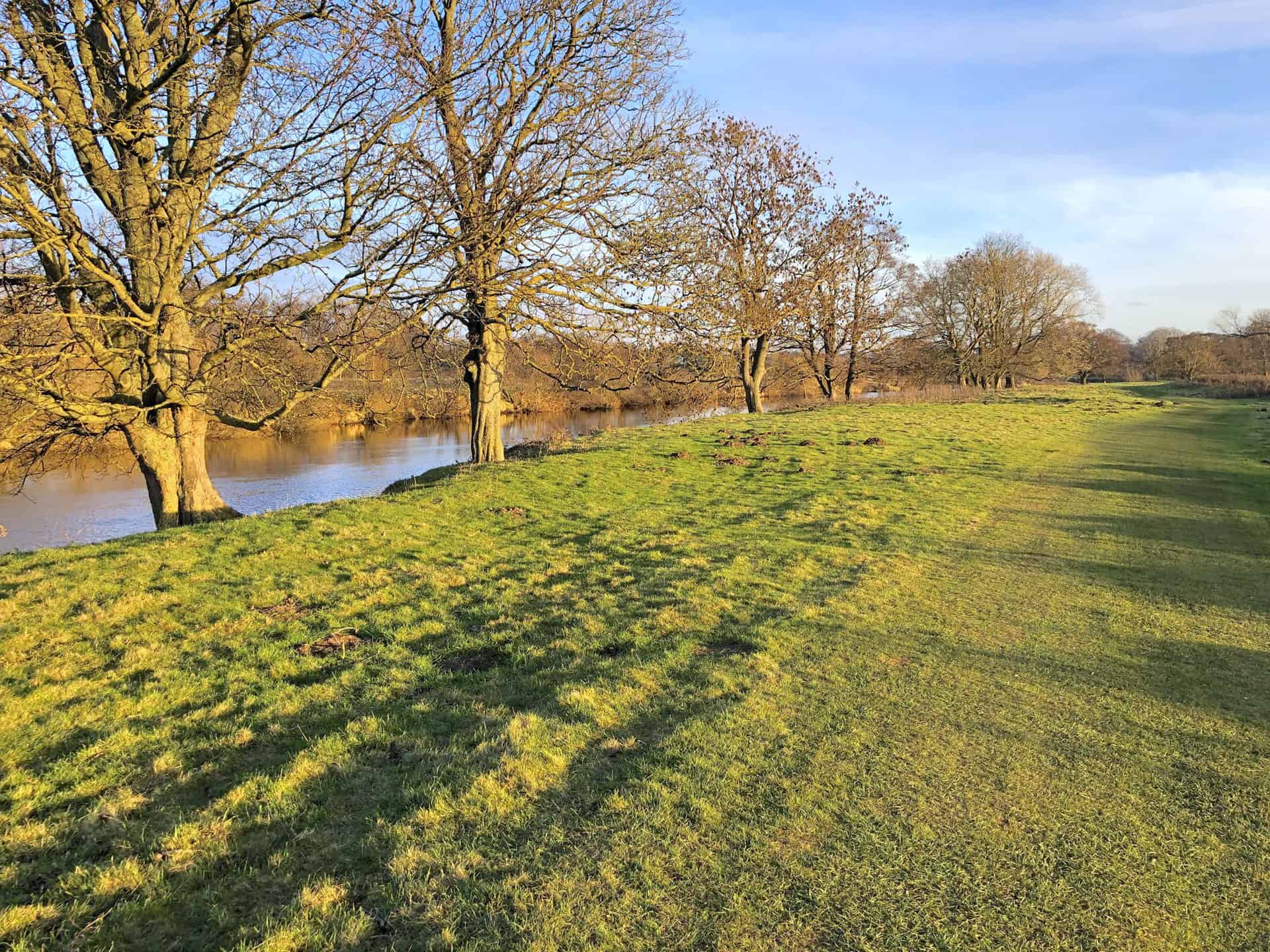
The River Ure in Wensleydale.
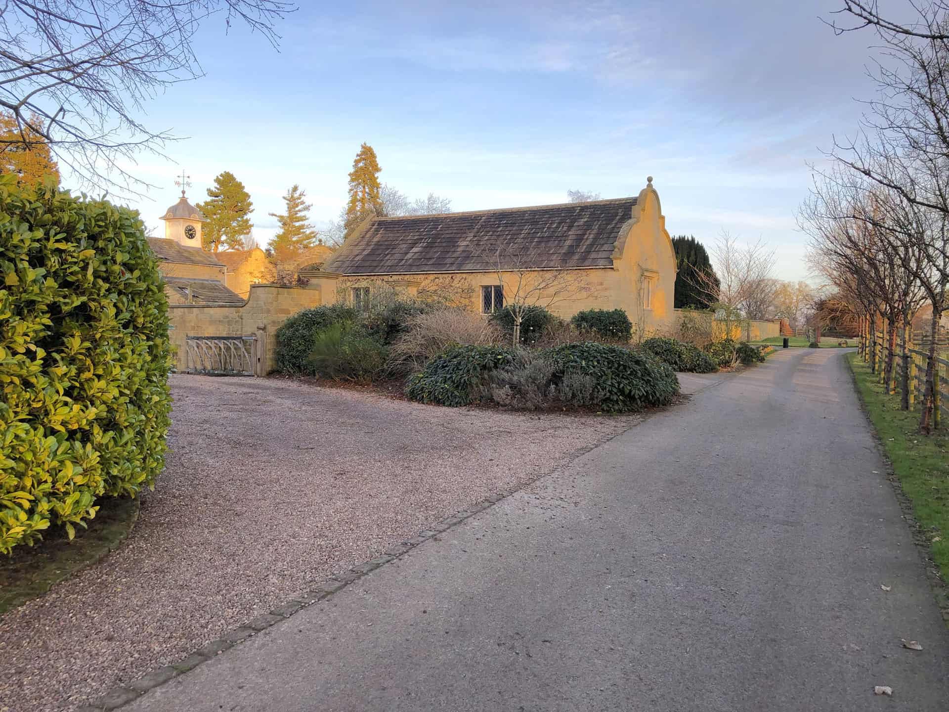
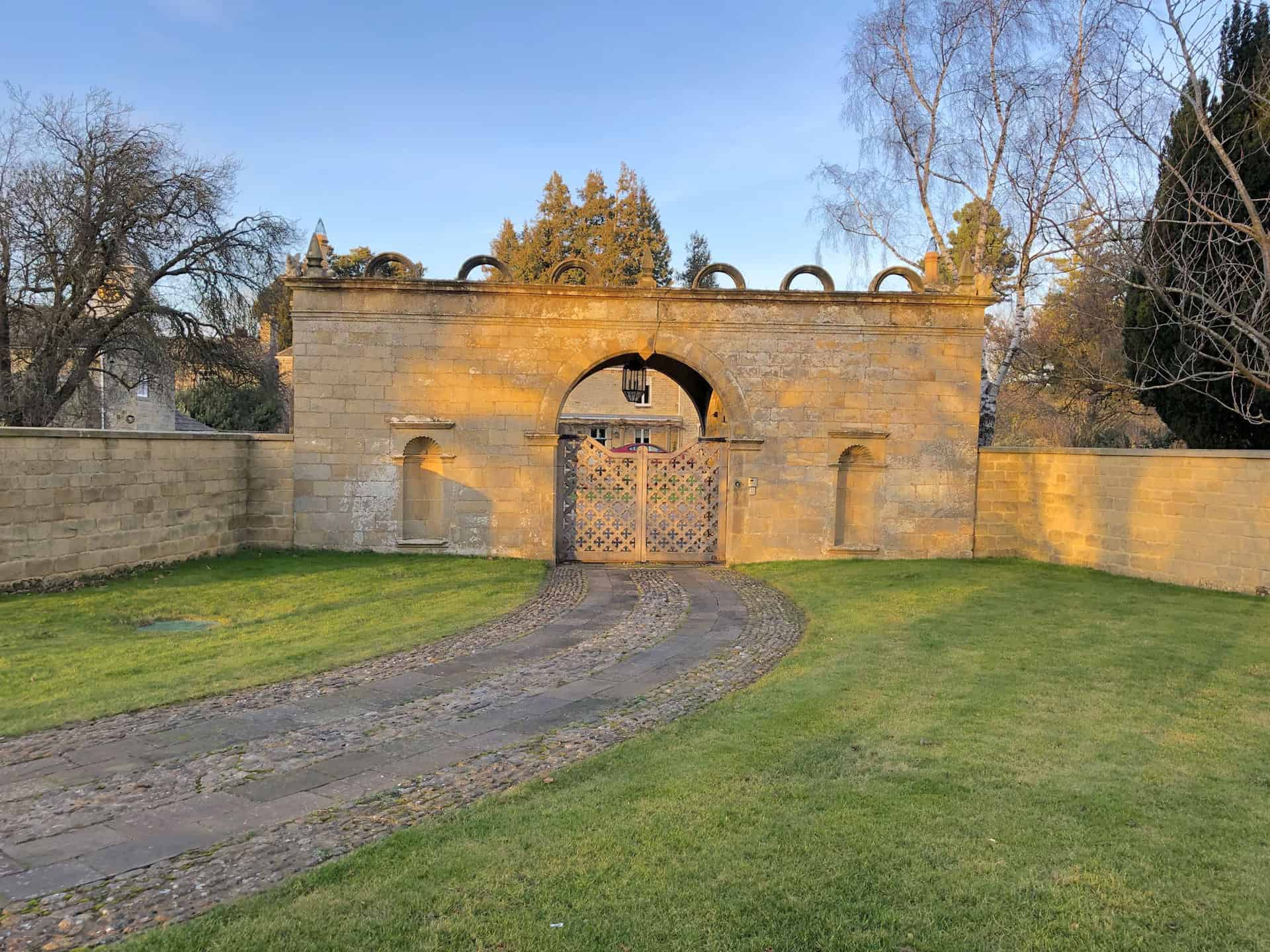
The entrance to Jervaulx Hall.
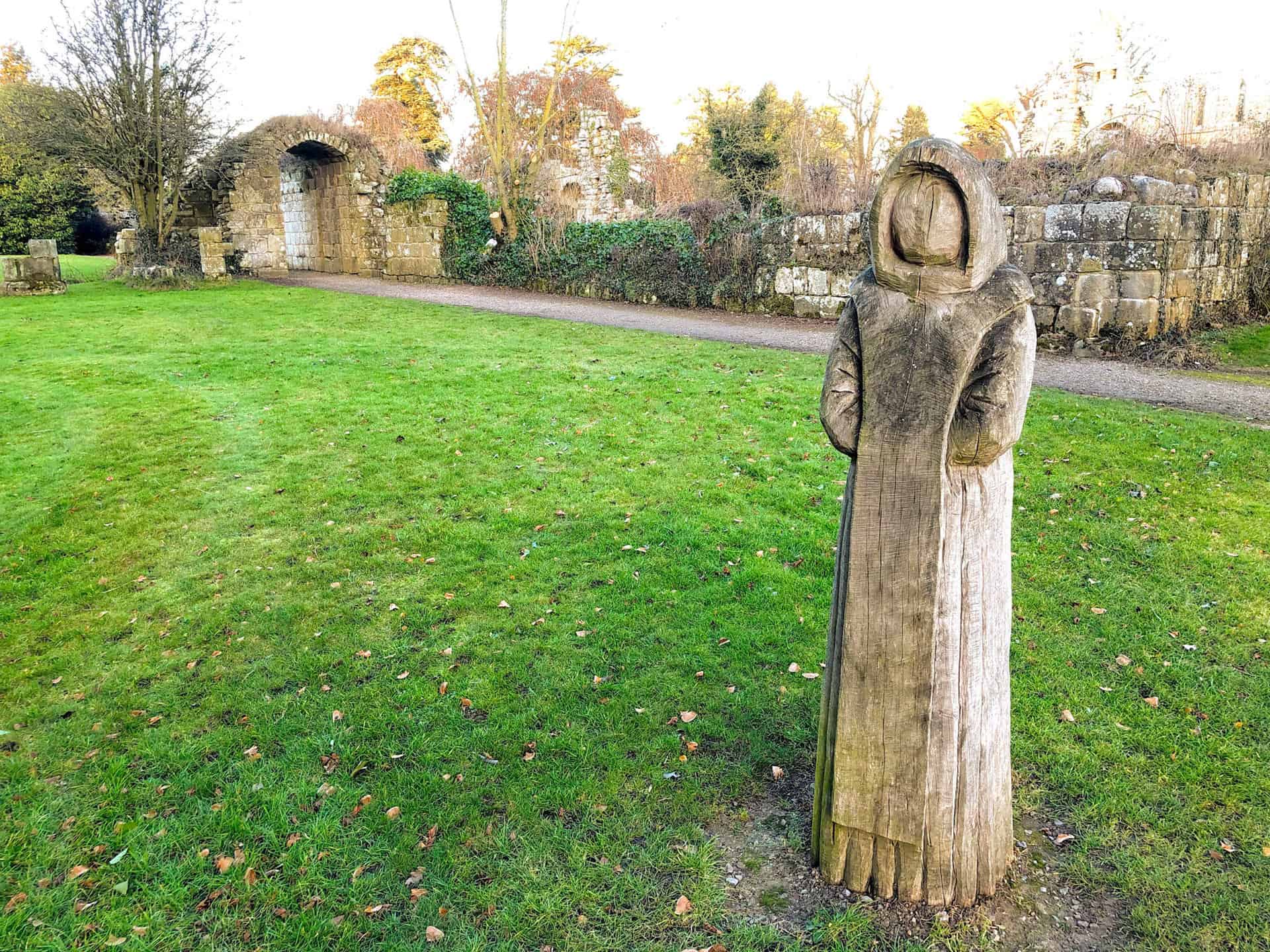
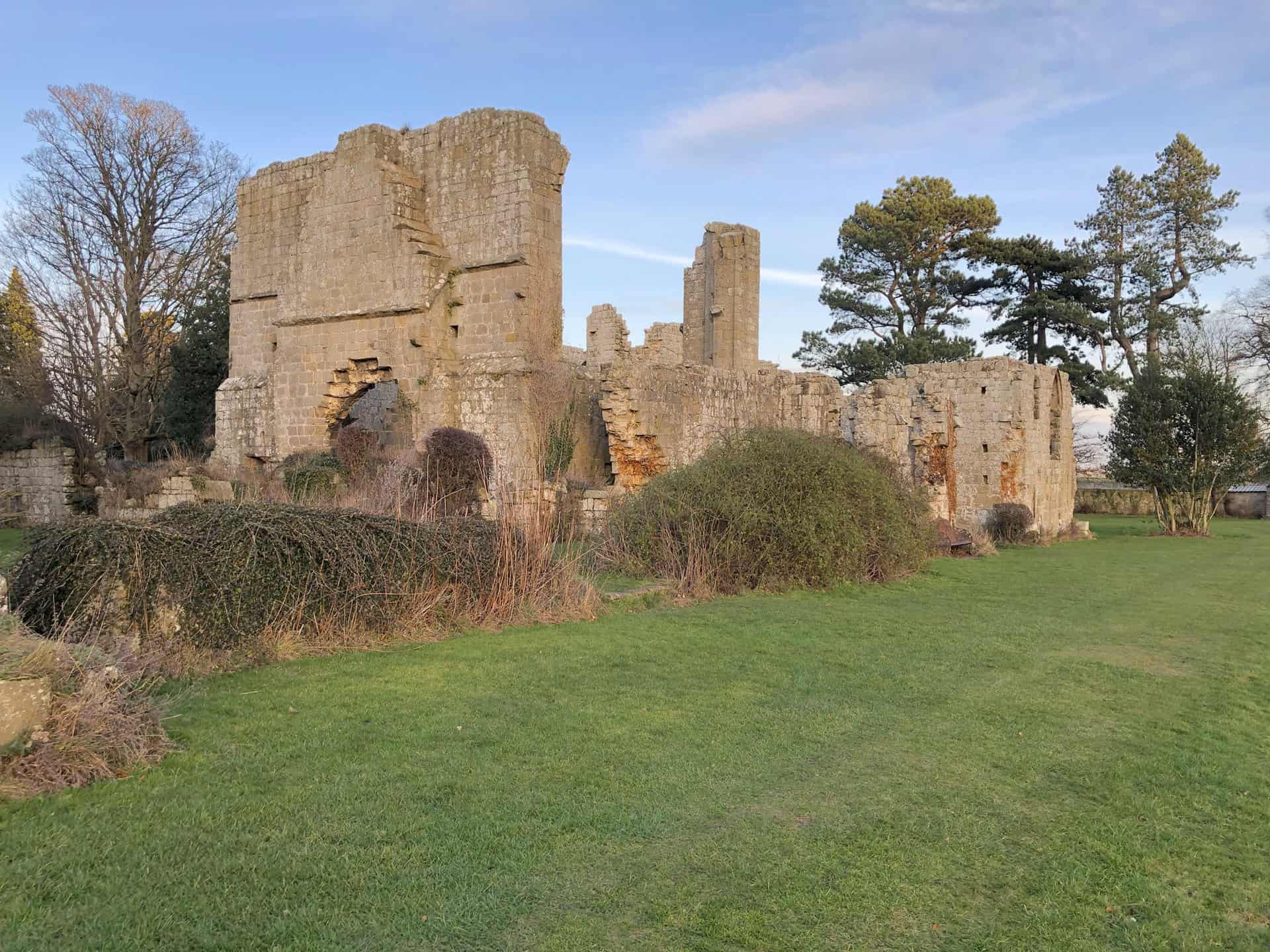
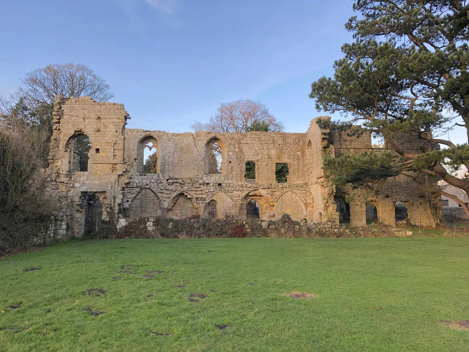
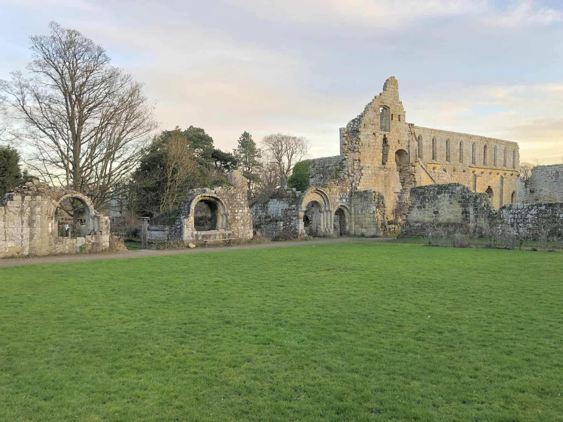
Jervaulx Abbey
A sign in the grounds of the abbey, which features a sketch by Turner, reads as follows:
JMW Turner visited Wensleydale in the summer of 1816 whilst on his tour sketching for ‘A General History of the County of York’ by Thomas Dunham Whitaker.
His journey brought him to the ruins of this Cistercian Abbey founded in 1156. Jervaulx was once one of the busiest and wealthiest of the North Yorkshire abbeys. Its prosperity grew from sheep rearing and breeding horses. The monks here produced and sold a cheese which evolved over the centuries to become today’s world-famous Wensleydale Cheese.
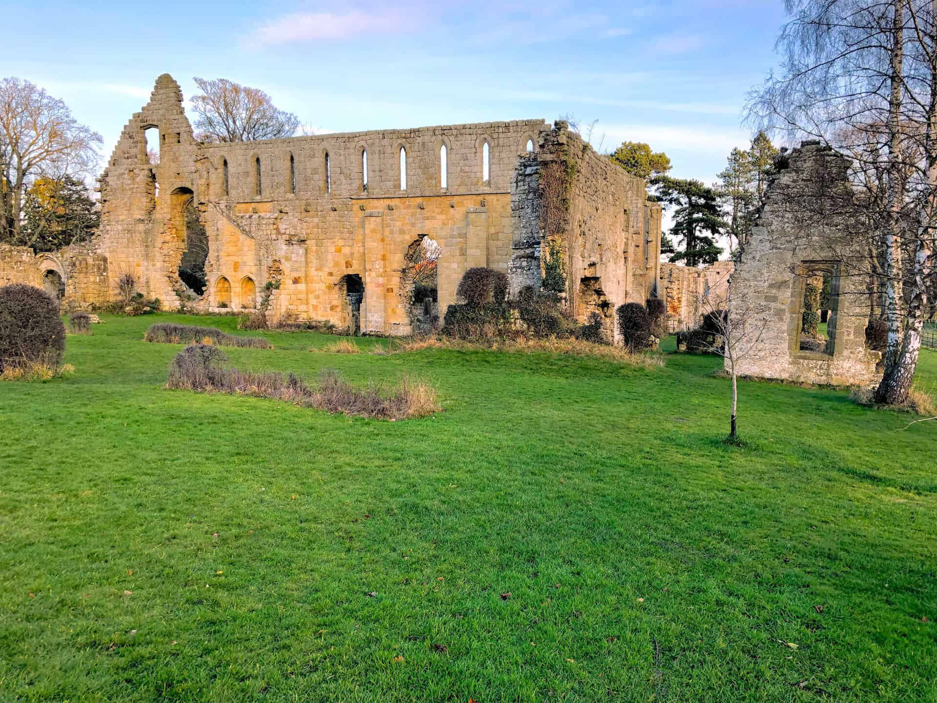
The Abbey is sited near to the River Ure in a fertile valley, making it an ideal location for the Cistercian monks to settle. Turner would have been impressed with this fine Abbey built in the sweeping valley.
Turner’s view of the Abbey is from the east in Jervaulx Park. The sketch shows the Abbey in the wide valley with smoke rising from the fields, possibly farmers burning stubble for ploughing. Enjoy a short walk on the public footpath through the parkland to where Turner stood and sketched this magnificent ruin.
Jervaulx Abbey is privately owned and relies on contributions made to the honesty box located at the entrance for its upkeep and for future visitors to enjoy its tranquil surroundings. Take time to trace Turner’s footsteps on the Turner Trails throughout Yorkshire.
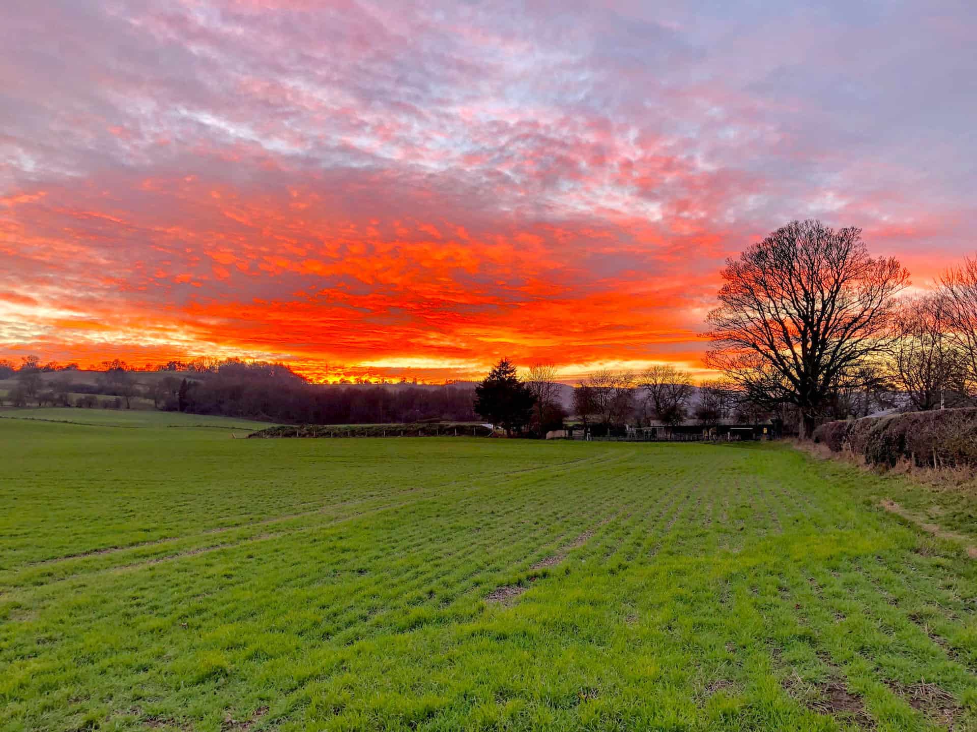
Sunset in Wensleydale as I near the end of my Jervaulx Abbey walk.
Amazon’s Top Walking Boots: Four Standout Choices for Men and Women
For walking and hiking, the right boots are essential for both comfort and safety. While Amazon boasts a wide range, certain boots emerge as top-sellers. From those, here are four I personally favour. As an Amazon affiliate, I may earn a small commission from any purchases made through the links provided. This helps support the upkeep of this website. Rest assured, you won’t pay a penny extra, but your purchase will contribute to keeping my site running smoothly. Happy walking!

Berghaus Men’s Hillmaster II Gore-Tex Walking Boots
These fully waterproof leather walking boots feature a Gore-Tex lining, ensuring no water enters whilst allowing feet to breathe and stay cool. Made from full-grain leather, they promise unmatched durability and comfort. The boots come with memory foam tongues and cuffs that mould to your feet for a tailored fit, and the Vibram Hillmaster outsoles offer confidence on challenging terrains.

Salewa Men’s Mountain Trainer Mid Gore-Tex Walking Boots
Made from durable suede and abrasion-resistant textile, these men’s hiking boots are both lightweight and sturdy. The upper material is enhanced by a 360° full rubber sheath. Their dual-layer midsole with Bilight technology ensures ergonomic cushioning and grip, especially on extended hikes. The Vibram Wrapping Thread Combi outsoles allow a natural walking feel, and the Gore-Tex lining provides waterproofing, breathability, and optimal weather protection. Furthermore, the patented Salewa 3F system ensures flexibility, a secure heel grip, and a blister-free fit.

Berghaus Women’s Supalite II Gore-Tex Walking Boots
Specially designed for women, these hiking boots offer waterproofing and breathability, thanks to their Gore-Tex lining. Crafted from full-grain abrasion-resistant leather, they’re durable enough for the toughest hikes. The Supalite soles ensure stability and traction, and the EVA midsoles add comfort for extended walks.

Merrell Women’s Moab 3 Mid Gore-Tex Walking Boots
These hiking boots incorporate a Gore-Tex waterproof membrane, blending breathability with superior waterproof performance. The combination of pigskin leather and mesh on the uppers, along with the suede outer material, ensure durability and style. Enhancements include 100% recycled laces, webbing, and mesh lining. Additionally, bellows tongues, protective toe caps, and Vibram TC5+ rubber soles ensure protection and ease on any terrain.