Sweeping Views and Cultural Landmarks Along the Bowes Walk
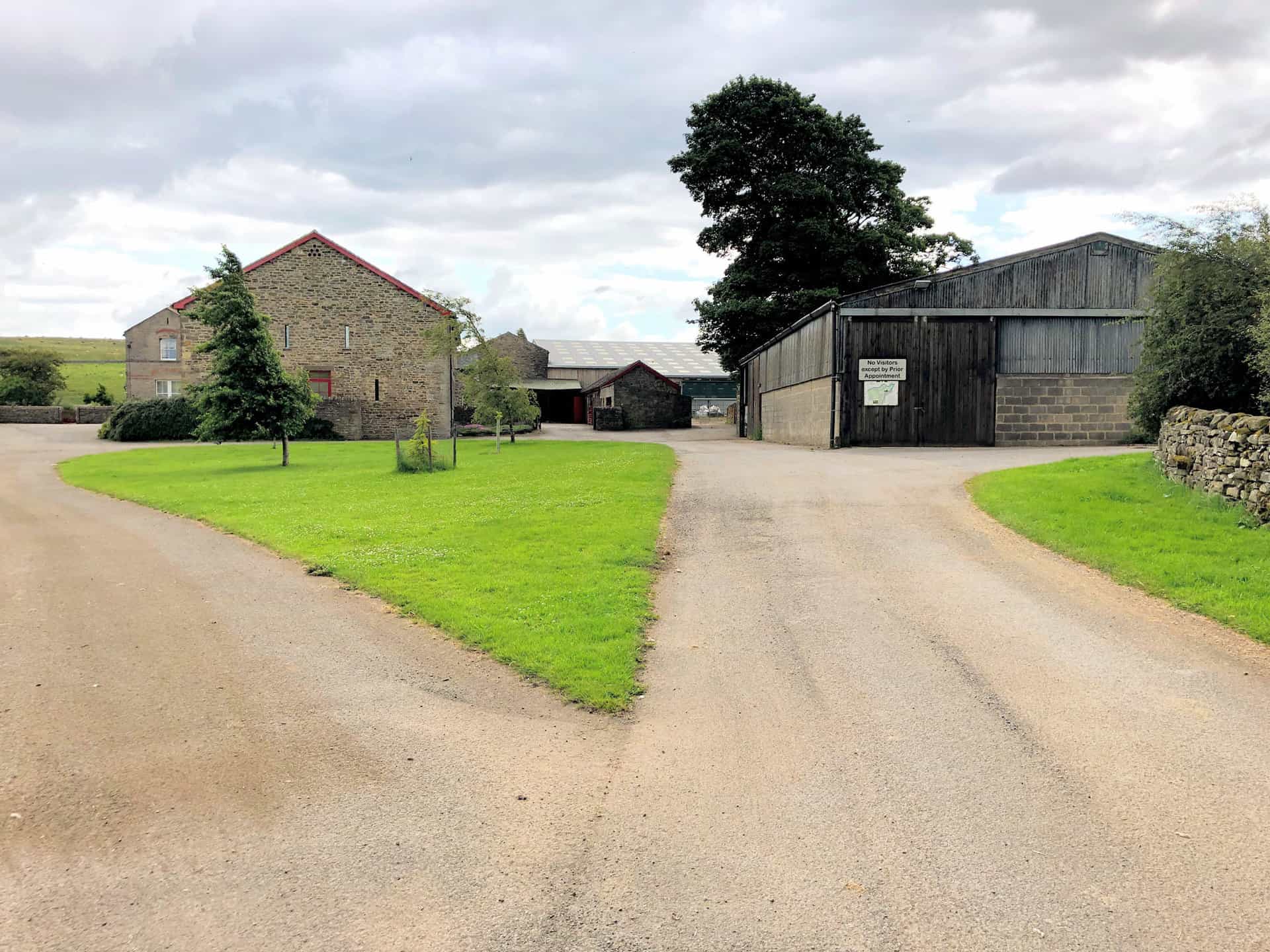
Embark on this Bowes walk by parking in the car park opposite Bowes & Gilmonby Village Hall, situated near the roundabout on the east side of the village. Begin your journey southwards, leaving Bowes along the road. After crossing Gilmonby Bridge, promptly turn left, following the public footpath across the farmland towards Howlugill.
As you progress south, you will encounter a minor road. Cross this road and continue along the footpath to Farewell. The journey then takes you across The Combs and onto the rugged terrain of Spanham Scar. Here, the path veers south then south-west, traversing the barren moors towards Faggergill Scar, and eventually guides you to the historical remnants of the disused lead mines on Faggergill Moor.
Next, shift your direction westwards, following the path that offers splendid views over the valley of Arkengarthdale in the Yorkshire Dales. The trail then takes a north-westerly direction towards Sleightholme Farm, where you’ll join the renowned Pennine Way. By staying on the western side of Sleightholme Beck, the path meanders through the valley, reaching East Mellwater.
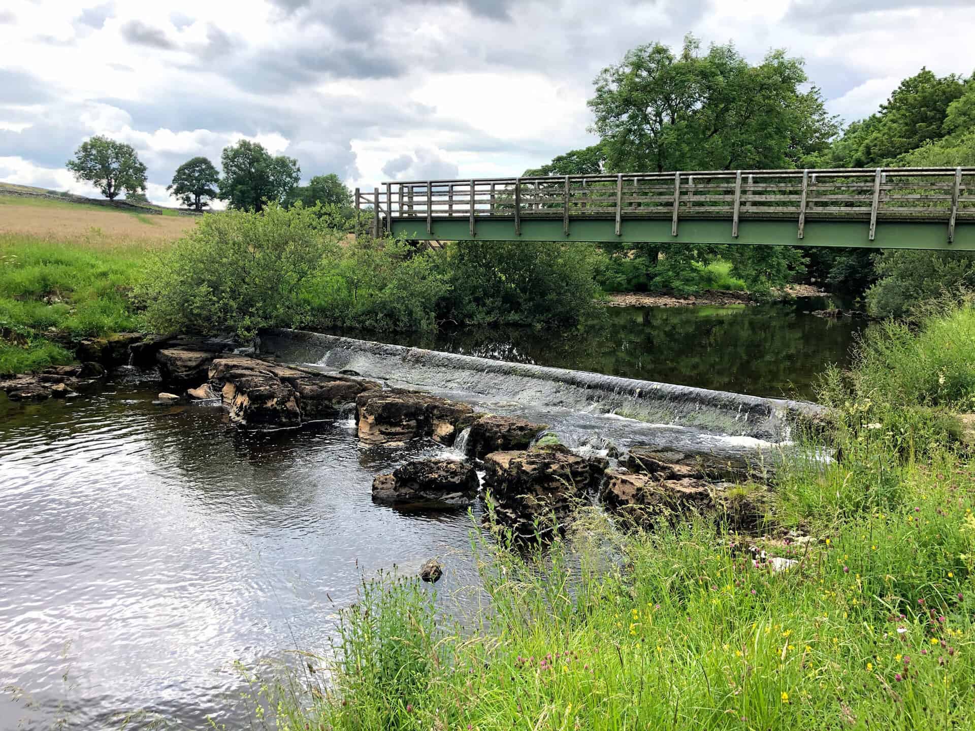
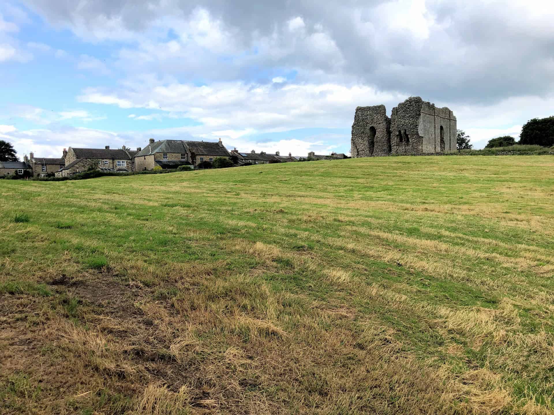
Conclude your Bowes walk by continuing east along the Pennine Way. You will cross the River Greta at Swinholme, leading back to the historical Bowes Castle, an ideal spot for exploration. The final stretch takes you through the village of Bowes, bringing you full circle to the car park. This 13-mile trek through the North Pennines showcases the region’s stunning landscapes as well as its rich history and heritage.
Bowes Walk: Maps and Tools
Visit either the OS Maps website or the Outdooractive website to view this walking route in greater detail. Both platforms offer a range of features, including the ability to print the route, download it to your device, and export the route as a GPX file. You can also watch a 3D fly-over and share the route on social media.
Bowes Walk: Distance, Duration, Statistics
Distance: 13¼ miles
Distance: 21 kilometres
Duration: 6 hours
Ascent: 1442 feet
Ascent: 440 metres
Type: Circular walk
About Bowes
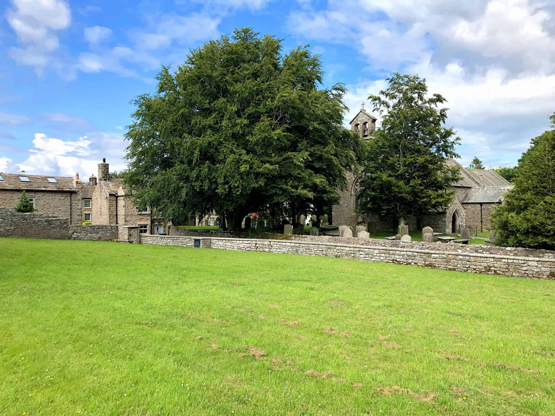
Bowes is a quaint village nestled in the ceremonial county of County Durham, North East England. Historically, it was part of Yorkshire until 1974. Now, it resides within the unitary authority of County Durham. Situated close to Barnard Castle, the village is renowned for its picturesque setting in the Pennine hills. Additionally, the medieval Bowes Castle sits at its heart.
Geography and Administration
Bowes’ civic history reflects a transition from the North Riding of Yorkshire to County Durham. This followed the Local Government Act of 1972. The change took effect on 1 April 1974, incorporating Bowes into Durham for administrative purposes. The village is strategically located where the A66 and A67 roads meet. Thus, it offers easy access to surrounding areas.
History
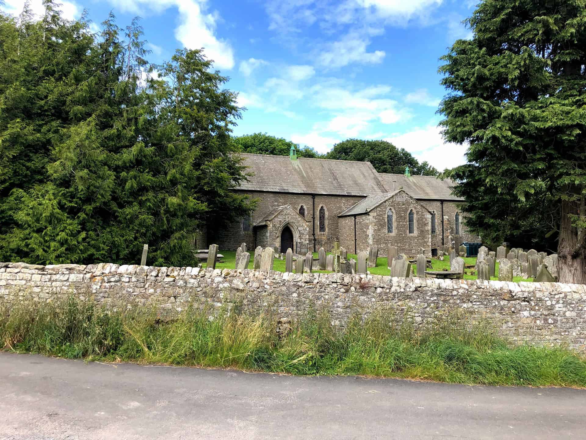
The Roman name for Bowes was Lavatrae, signifying its ancient roots. A Roman fort once stood here, later becoming the site for Bowes Castle. You’ll pass the castle on this Bowes walk. The name ‘Bowes’, derived from Old English ‘boga’ meaning ‘bow’, likely references an arched bridge in the area. The village’s church, dedicated to St Giles, adds a spiritual dimension to its historical landscape.
Bowes boasts a rich literary and cultural heritage. Notably, it famously hosted Charles Dickens, who found inspiration here for his work on ‘Nicholas Nickleby’. The village’s connection to Dickens is further immortalised in the churchyard. Here, graves of individuals who inspired his characters can be found.
The village’s transport history includes Bowes Railway Station, operational from 1861 to 1962. Also, the former RAF Bowes Moor site was used for chemical warfare agent storage during World War II. The Pennine Way’s Bowes Loop crosses this historical site, adding a layer of intrigue to its scenic trails.
The Community Spirit
Bowes prides itself on its community spirit, exemplified by the Bowes Social Club. This establishment, possibly the smallest former working men’s club in the country, is a volunteer-run hub. It supports local events.
Education
At the heart of the village lies Bowes Hutchinson’s C of E (Aided) Primary School. It provides educational foundations for its younger residents, ensuring the village’s future remains bright.
Notable People
Bowes has been the home to several notable figures. These include Thomas Kipling, the Dean of Peterborough, mathematician and land surveyor John Bailey, and Richard Cobden. Cobden was a prominent manufacturer and politician.
Recommended Ordnance Survey Map
The best map to use on this walk is the Ordnance Survey map of the North Pennines, reference OS Explorer OL31, scale 1:25,000. It clearly displays footpaths, rights of way, open access land and vegetation on the ground, making it ideal for walking, running and hiking. The map can be purchased from Amazon in either a standard, paper version or a weatherproof, laminated version, as shown below.
Bowes Walk: My Photos
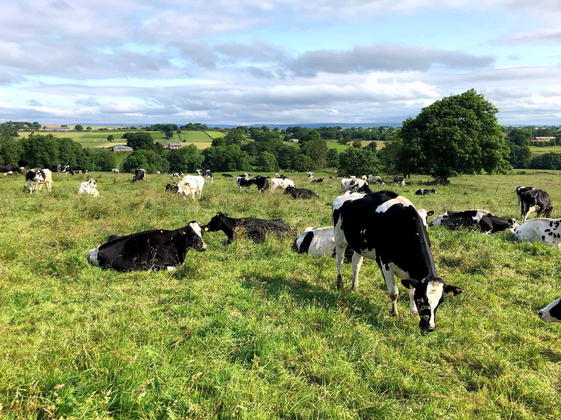
Not a good start. I need to cross a busy cow field at Howlugill.
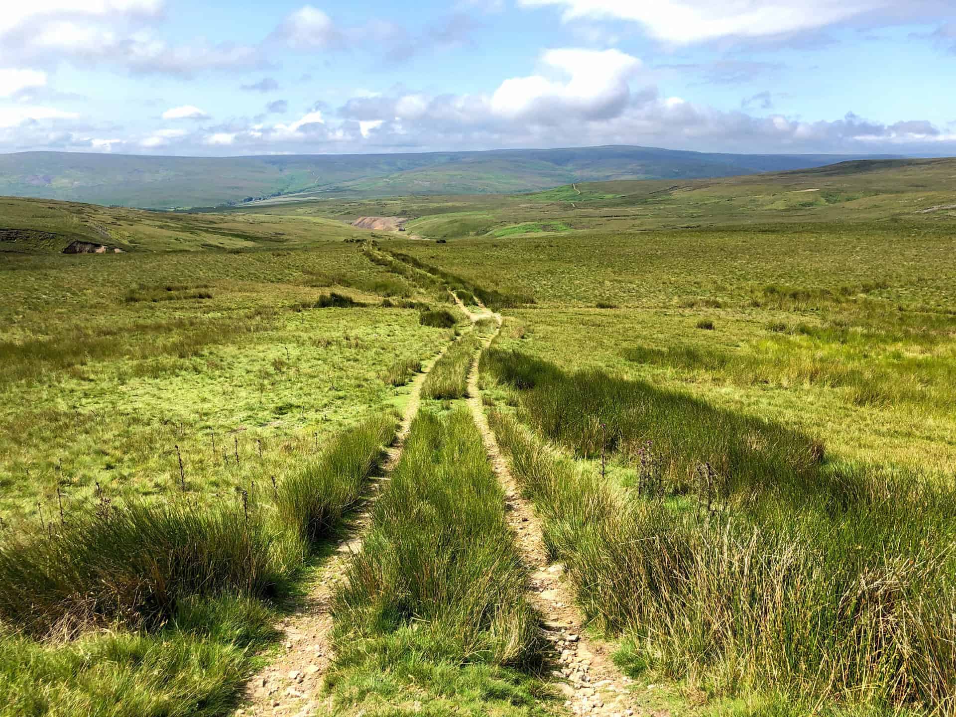
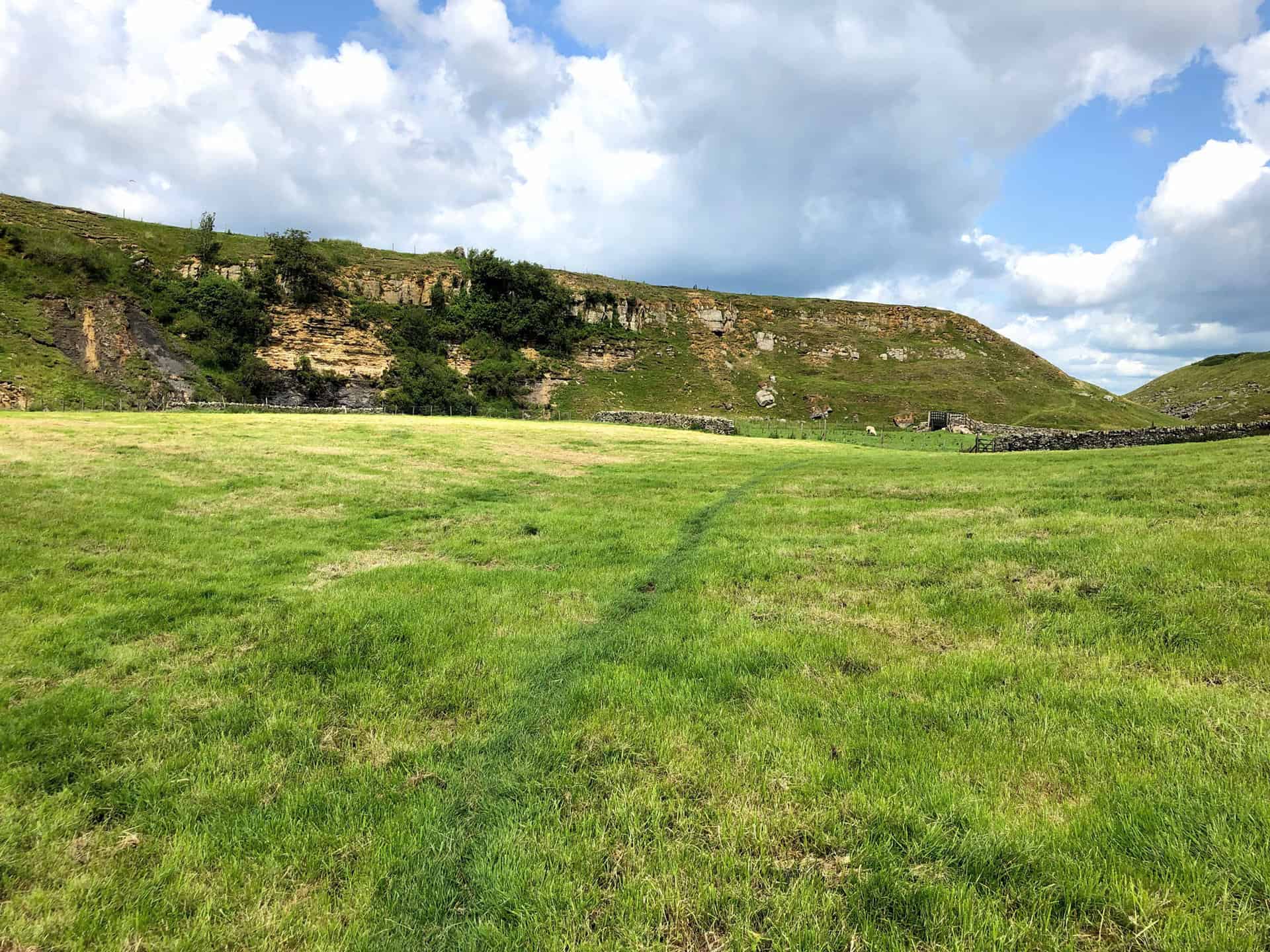
The track across Scargill Low Moor.
Eller Beck on Scargill Low Moor.
Spanham Scar on the eastern edge of Scargill High Moor.
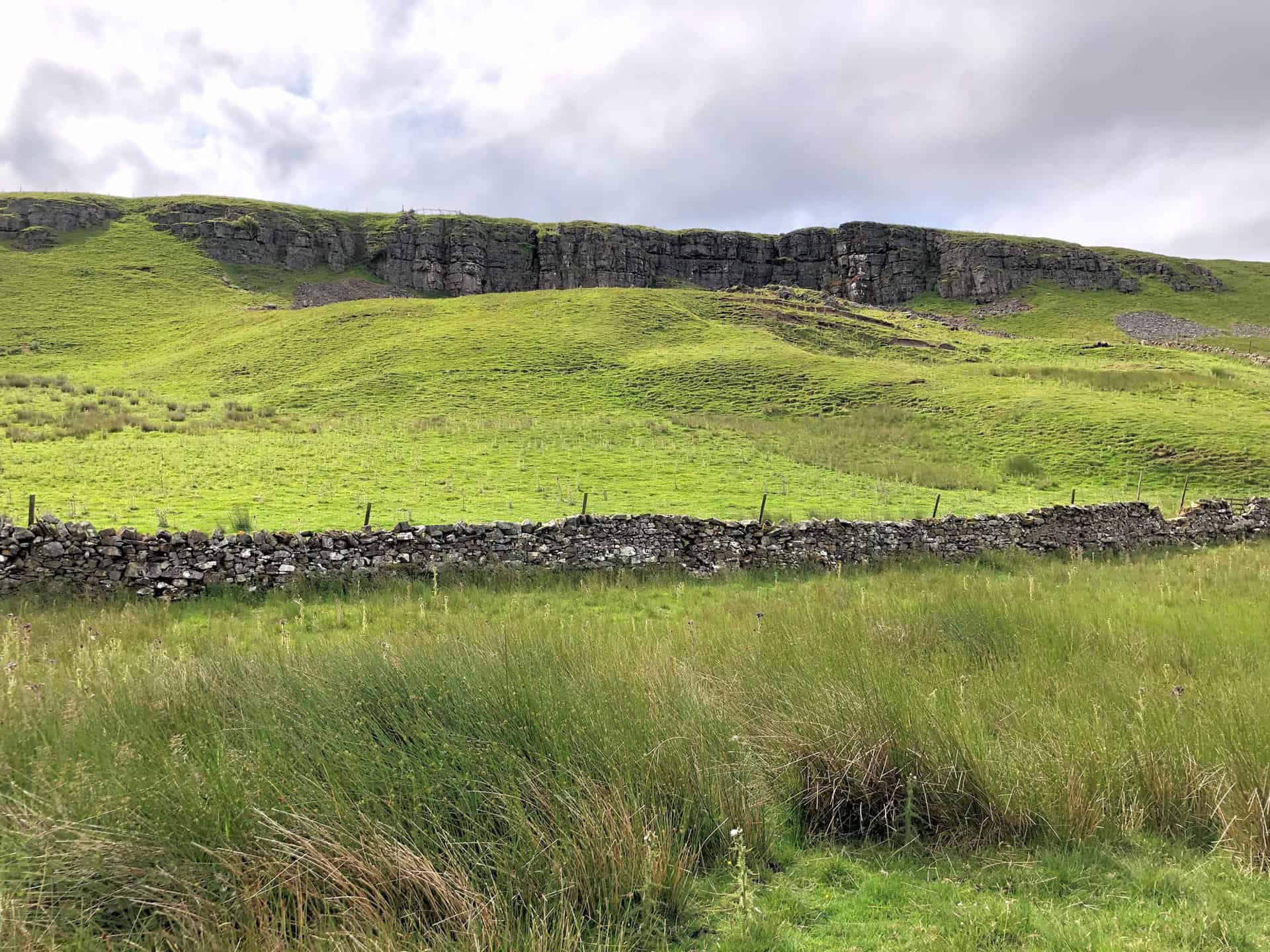
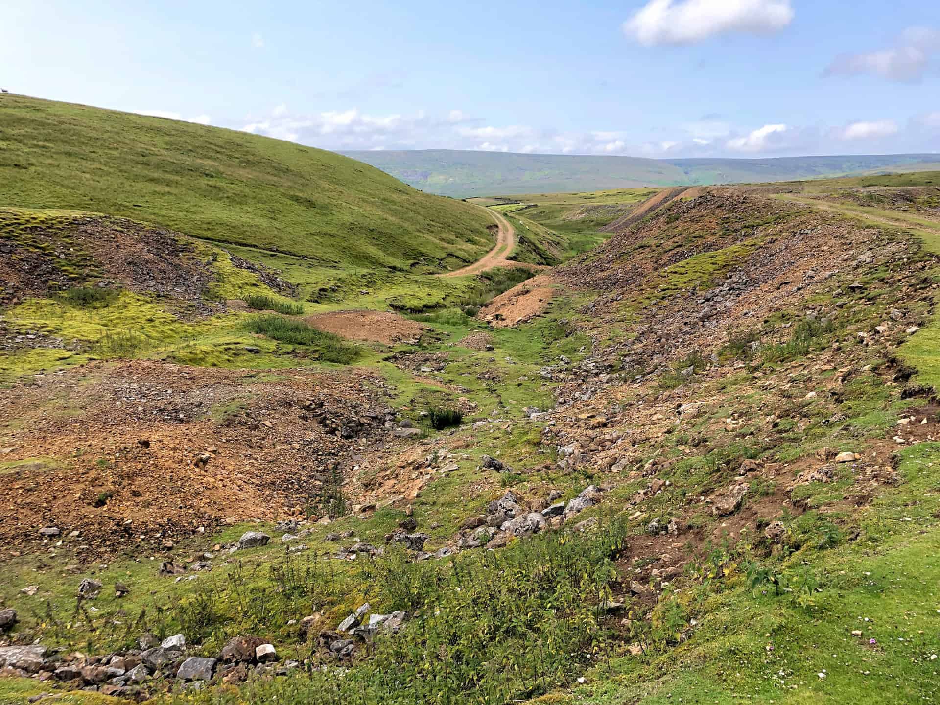
Quarry on Spanham East Hill, roughly one-quarter of the way round this Bowes walk.
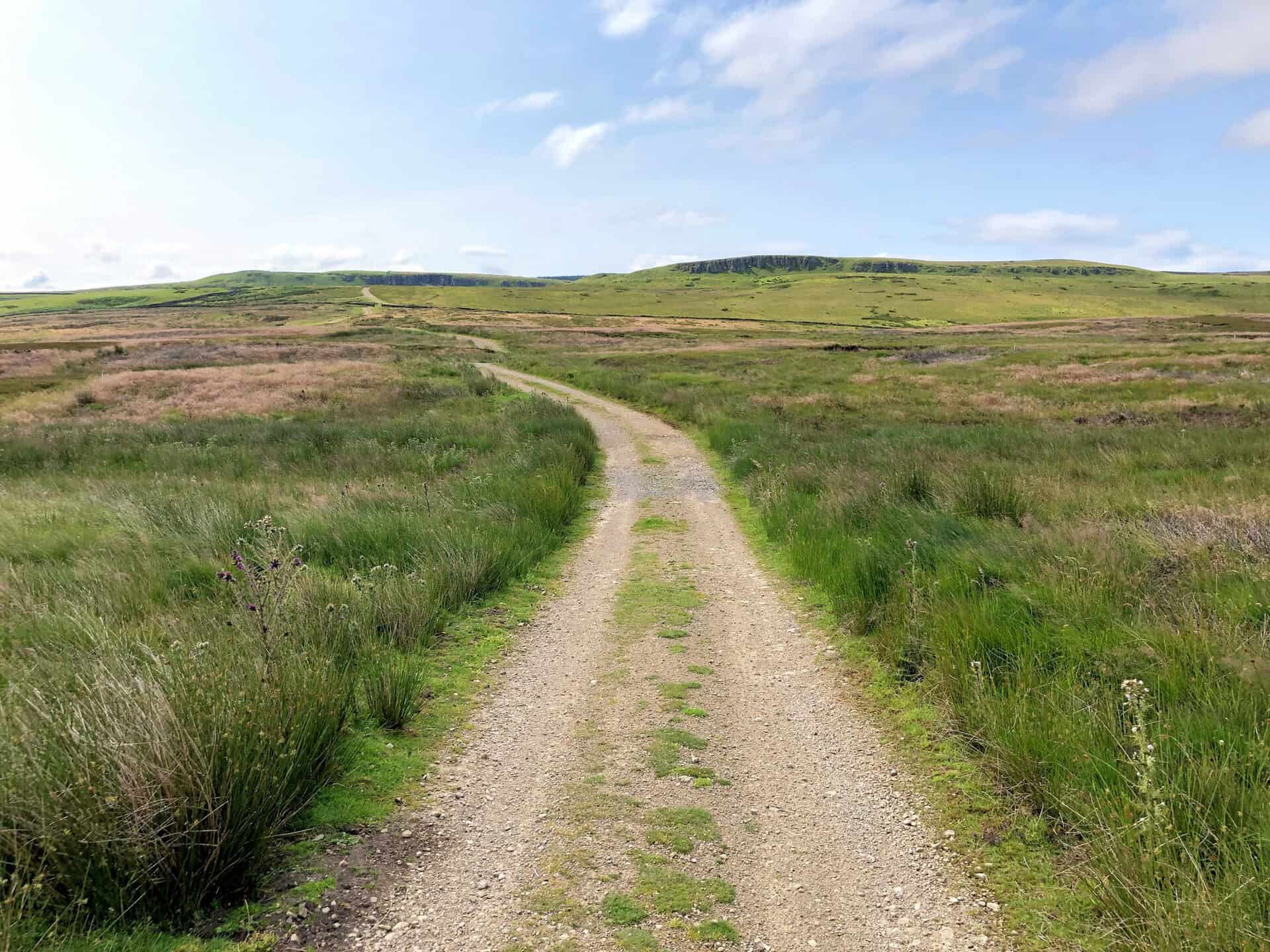
Track across Faggergill Moor.
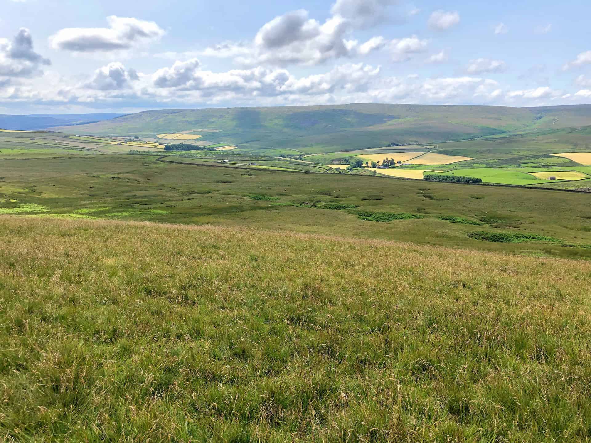
The view south across Faggergill Moor towards Arkengarthdale.
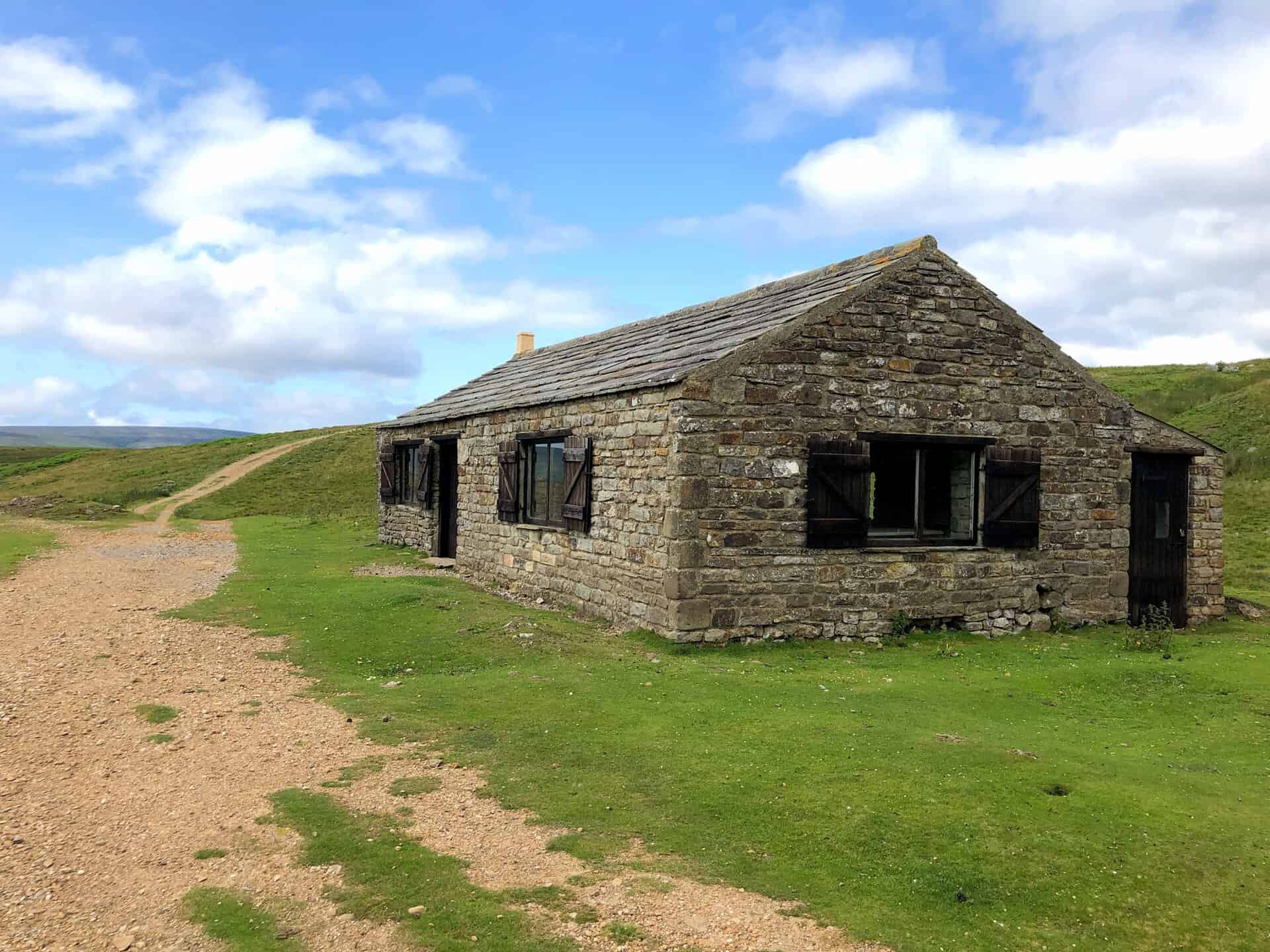
Shooting lodge near Brown Knot, Faggergill Moor.
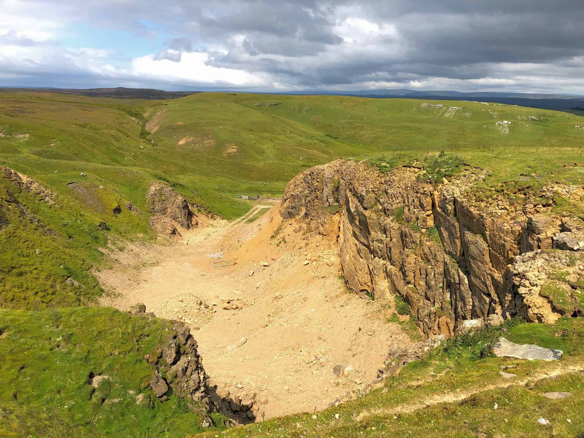
Spoil heaps near the disused Faggergill Lead Mine.
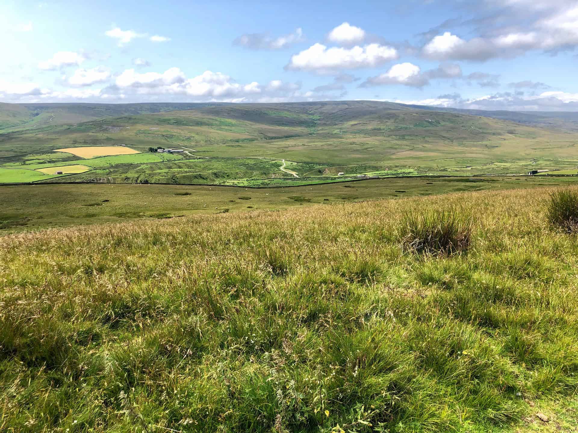
The view south-east from Baxton Knab towards Arkengarthdale. Baxton Knab is the halfway point of this Bowes walk.
The view south across the head of the Arkengarthdale valley from Baxton Knab.
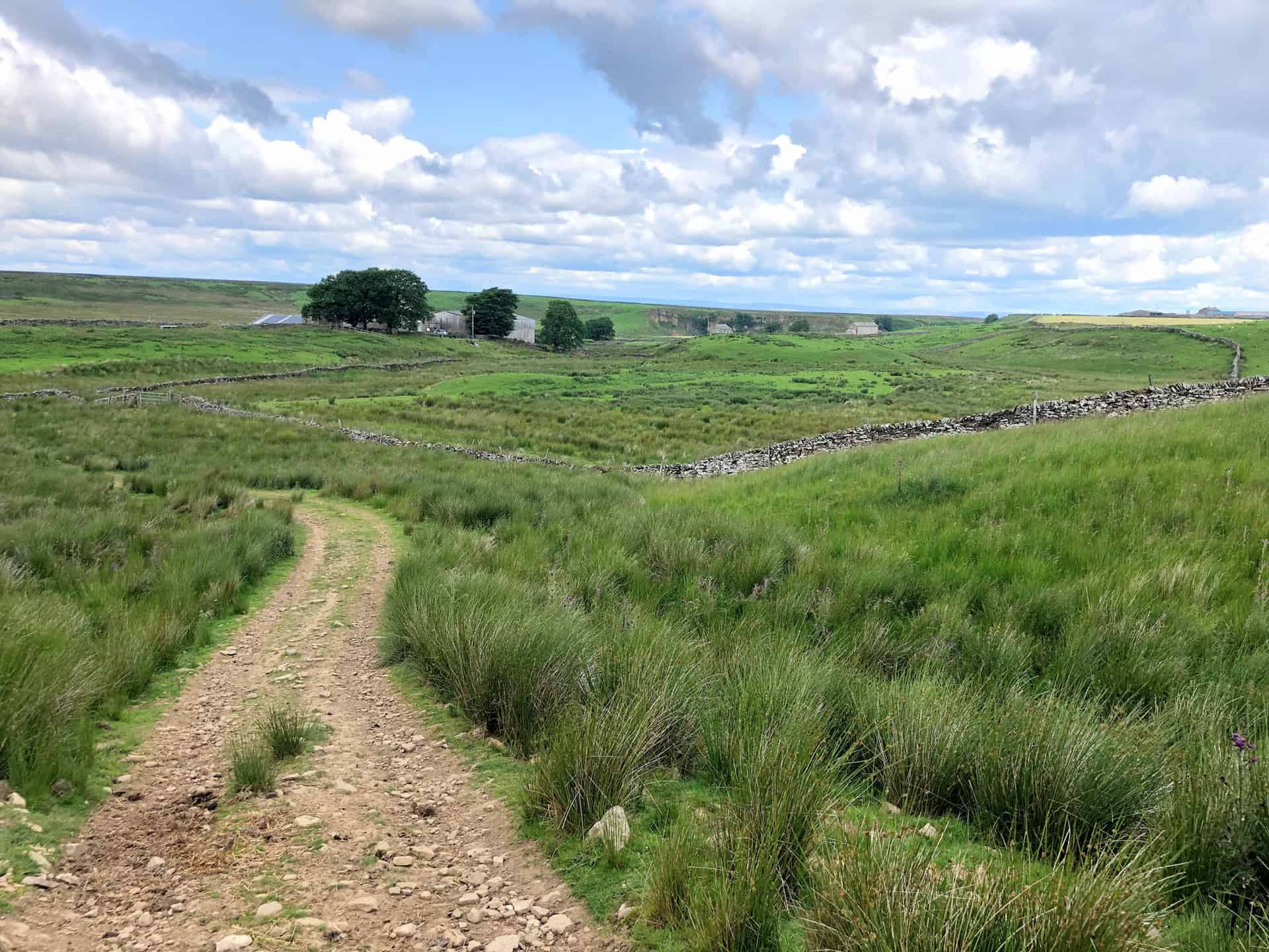
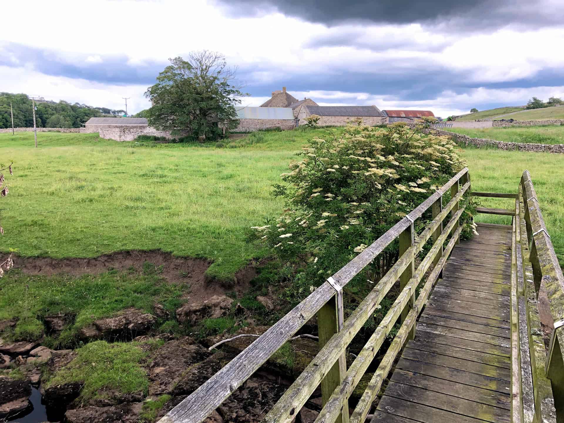
Heading down to Sleightholme Farm.
Bog Scar.
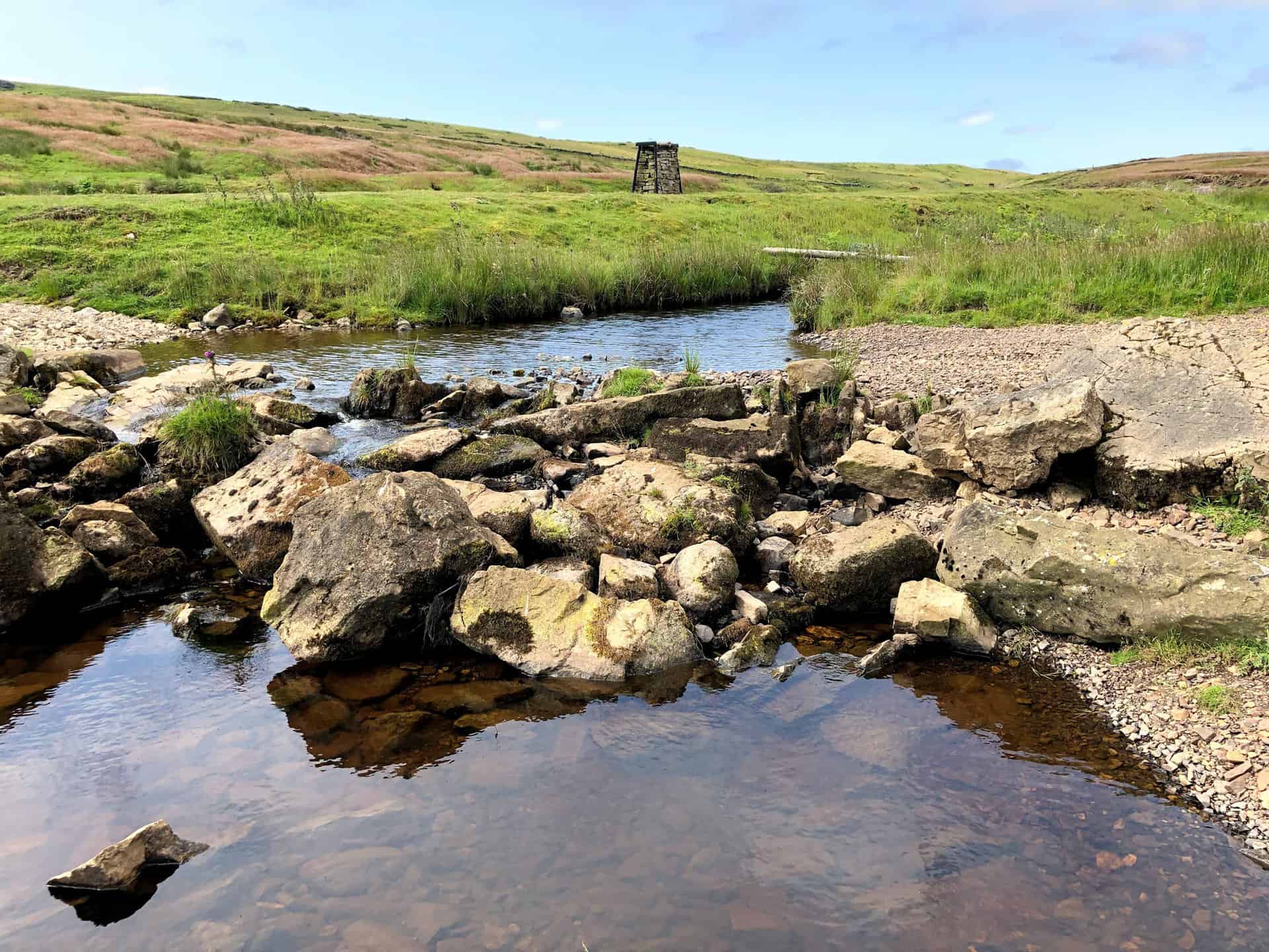
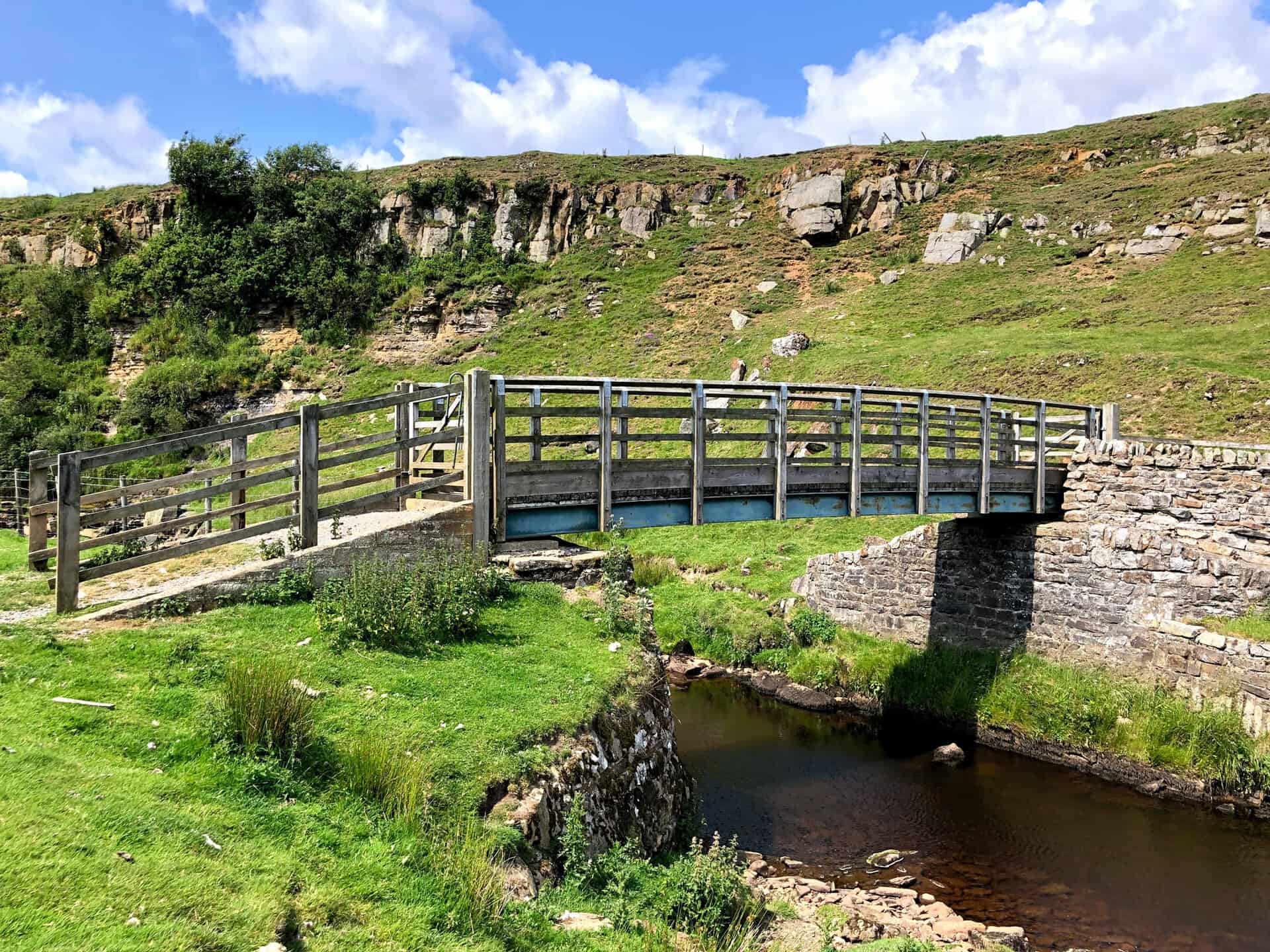
Intake Bridge over Sleightholme Beck, with Bog Scar in the background.
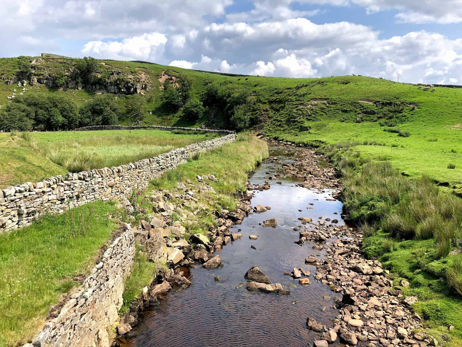
Sleightholme Beck.
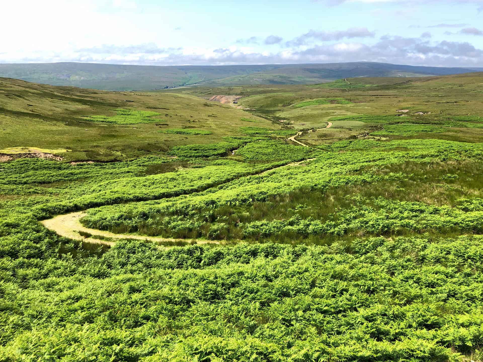
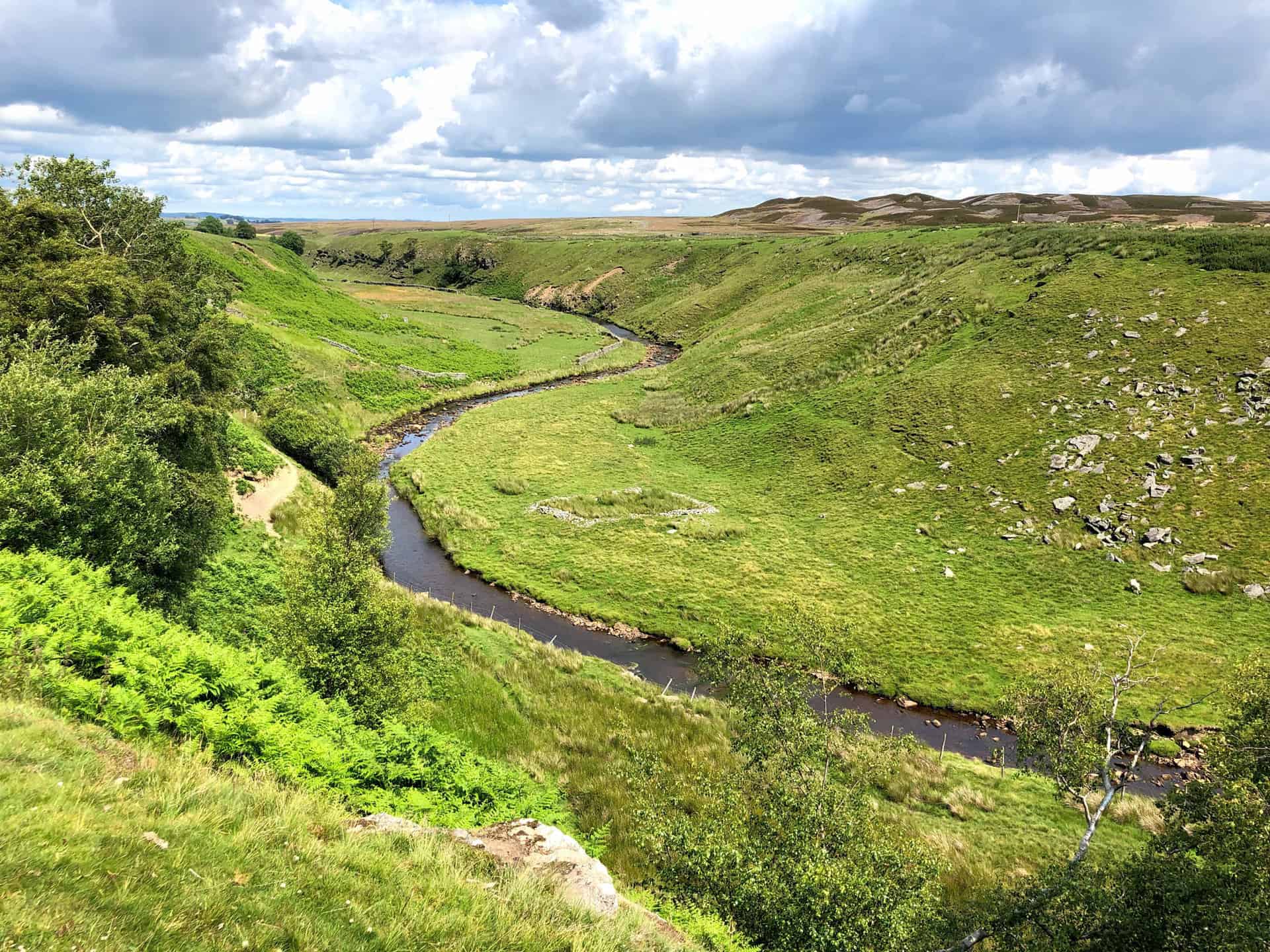
Sleightholme Beck meandering through the valley, about three-quarters of the way round this Bowes walk.
Farm buildings at East Mellwaters.
Cardwell Bridge across Sleightholme Beck.
River Greta footbridge and weir.
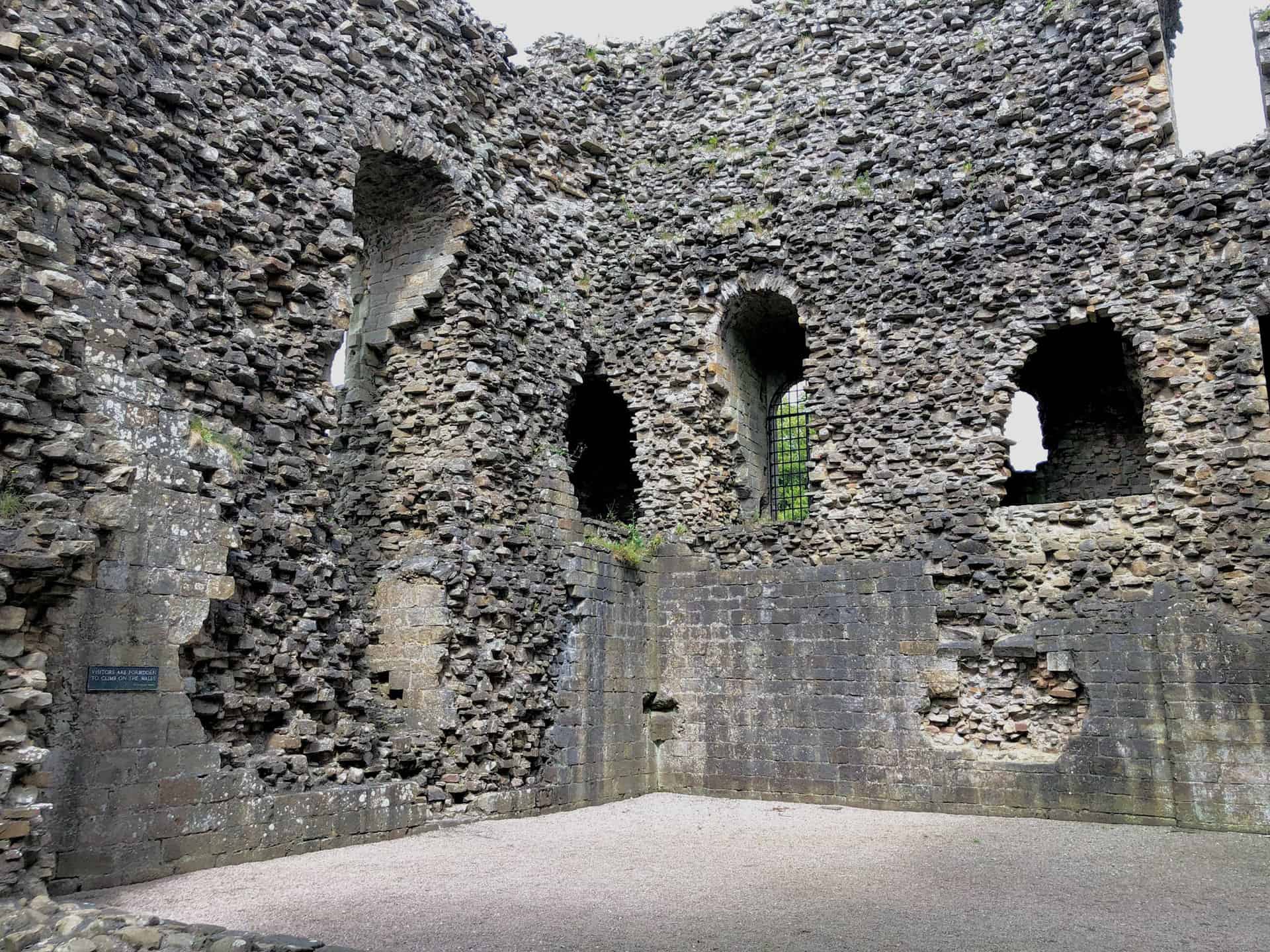
Bowes Castle
Bowes Castle is the highlight of this particular Bowes walk. The castle stands within the north-west corner of a Roman fort which commanded the approach to Stainmore Pass over the Pennines, on the road from York to Carlisle.
It lay in the area controlled by Richmond and came into the possession of the crown in 1171. The present keep was probably built between 1171 and 1187.
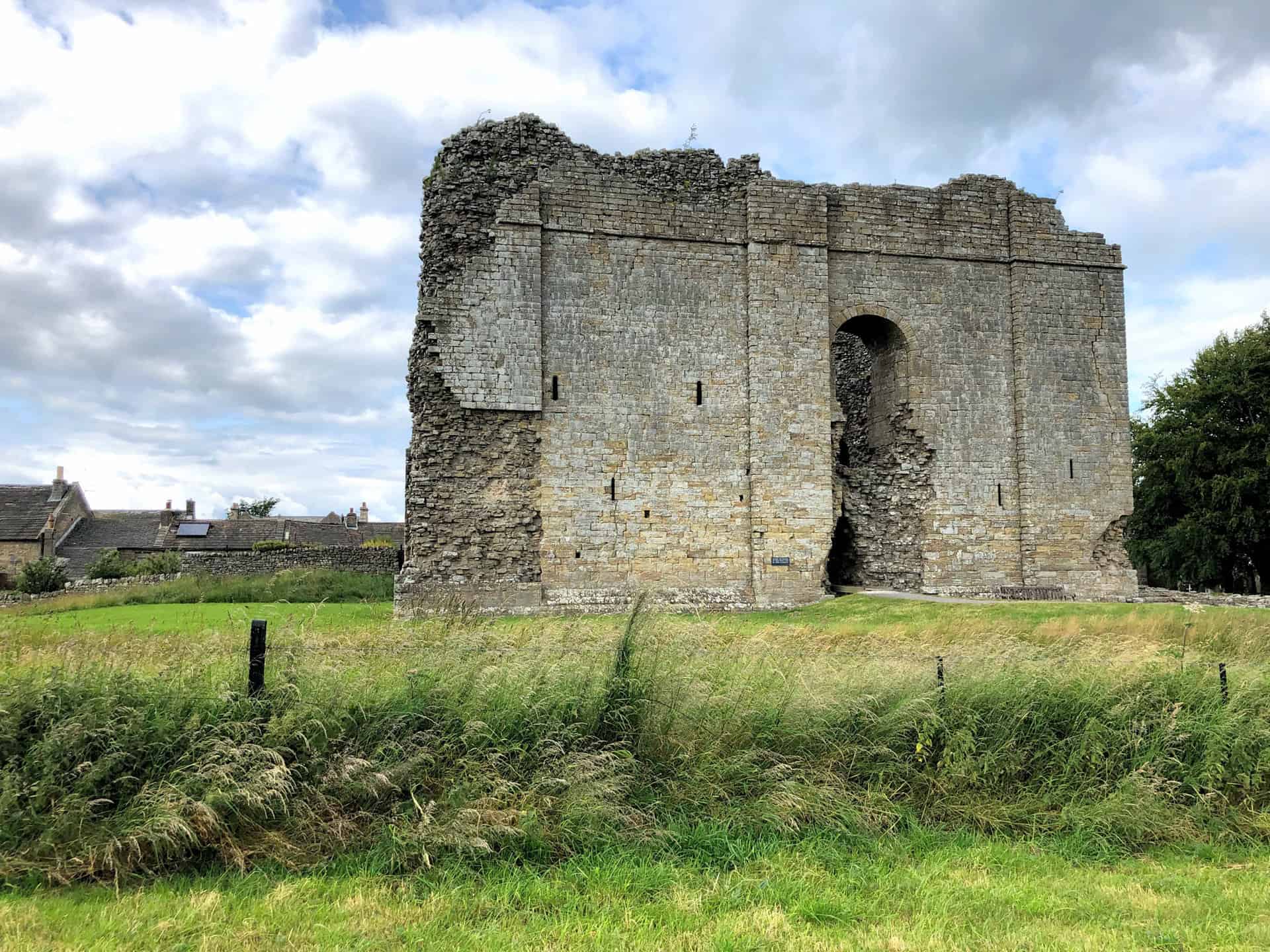
When Scottish invasions took place in the 1170s, the castle was of significance; it was besieged by the Scots in 1174.
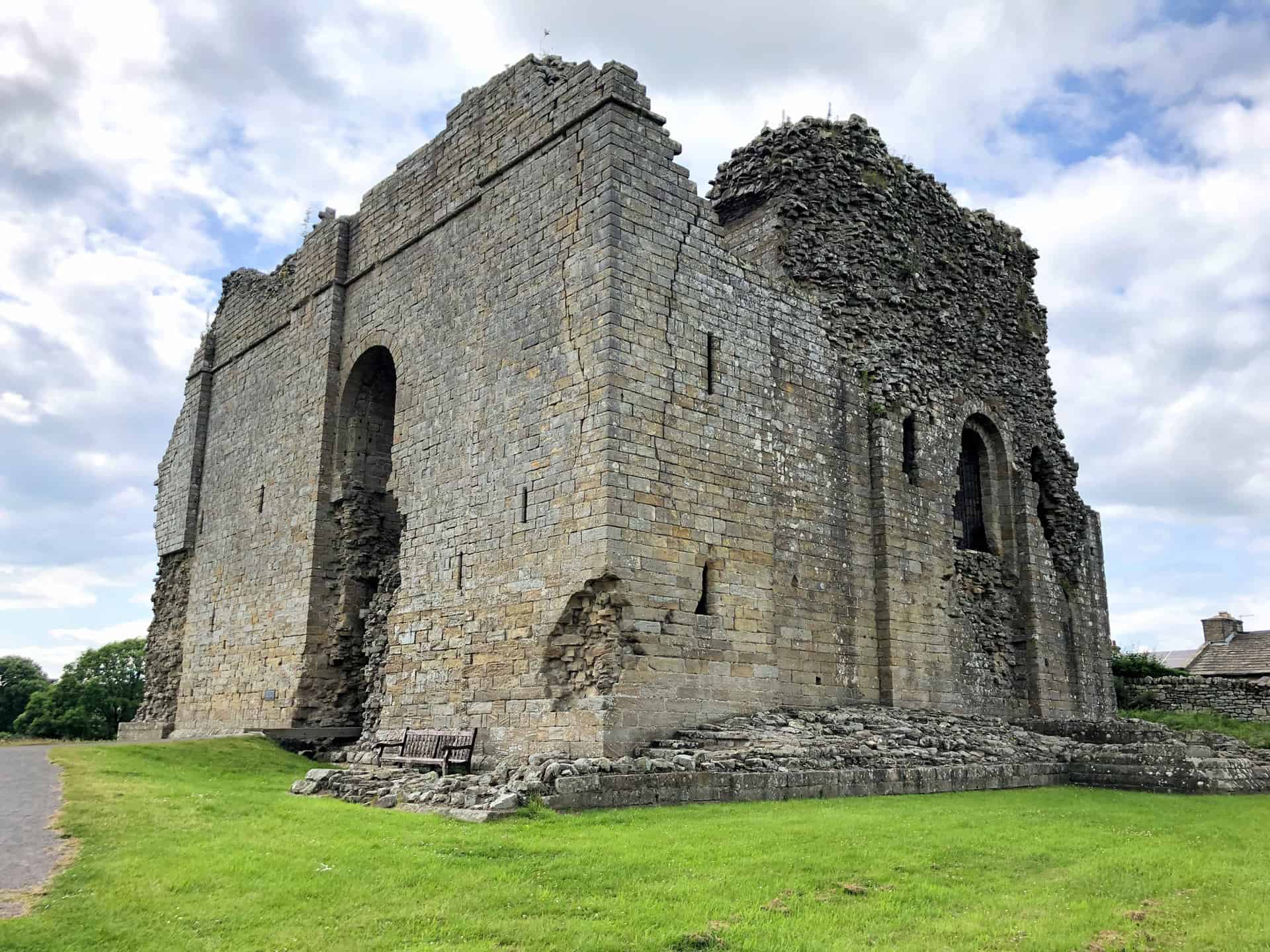
Devastating raids from Scotland by Robert the Bruce between 1314 and 1322 caused great disorder in Yorkshire. In 1322, Bowes was besieged and captured by neighbouring lords and the governor of the castle was expelled.
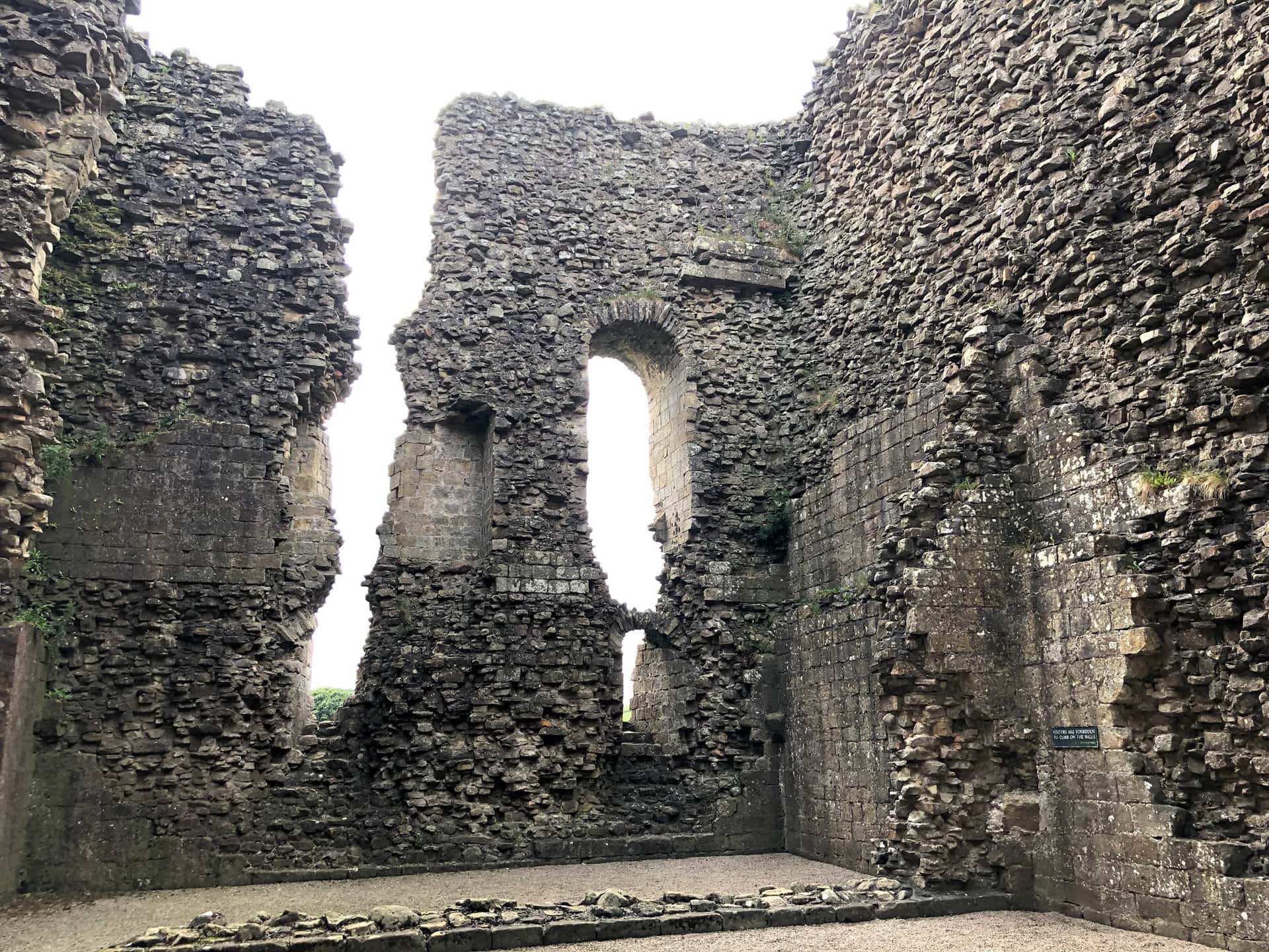
By 1341, the castle was reported to be badly in need of repair and of little use. It is thought to have been dismantled and stripped of much of its stone facing in the 17th century.
St Giles Church, Bowes, towards the end of the Bowes walk.
Amazon’s Top Walking Boots: Four Standout Choices for Men and Women
For walking and hiking, the right boots are essential for both comfort and safety. While Amazon boasts a wide range, certain boots emerge as top-sellers. From those, here are four I personally favour. As an Amazon affiliate, I may earn a small commission from any purchases made through the links provided. This helps support the upkeep of this website. Rest assured, you won’t pay a penny extra, but your purchase will contribute to keeping my site running smoothly. Happy walking!

Berghaus Men’s Hillmaster II Gore-Tex Walking Boots
These fully waterproof leather walking boots feature a Gore-Tex lining, ensuring no water enters whilst allowing feet to breathe and stay cool. Made from full-grain leather, they promise unmatched durability and comfort. The boots come with memory foam tongues and cuffs that mould to your feet for a tailored fit, and the Vibram Hillmaster outsoles offer confidence on challenging terrains.

Salewa Men’s Mountain Trainer Mid Gore-Tex Walking Boots
Made from durable suede and abrasion-resistant textile, these men’s hiking boots are both lightweight and sturdy. The upper material is enhanced by a 360° full rubber sheath. Their dual-layer midsole with Bilight technology ensures ergonomic cushioning and grip, especially on extended hikes. The Vibram Wrapping Thread Combi outsoles allow a natural walking feel, and the Gore-Tex lining provides waterproofing, breathability, and optimal weather protection. Furthermore, the patented Salewa 3F system ensures flexibility, a secure heel grip, and a blister-free fit.

Berghaus Women’s Supalite II Gore-Tex Walking Boots
Specially designed for women, these hiking boots offer waterproofing and breathability, thanks to their Gore-Tex lining. Crafted from full-grain abrasion-resistant leather, they’re durable enough for the toughest hikes. The Supalite soles ensure stability and traction, and the EVA midsoles add comfort for extended walks.

Merrell Women’s Moab 3 Mid Gore-Tex Walking Boots
These hiking boots incorporate a Gore-Tex waterproof membrane, blending breathability with superior waterproof performance. The combination of pigskin leather and mesh on the uppers, along with the suede outer material, ensure durability and style. Enhancements include 100% recycled laces, webbing, and mesh lining. Additionally, bellows tongues, protective toe caps, and Vibram TC5+ rubber soles ensure protection and ease on any terrain.