Trekking the Summits of the North Pennines with the Cross Fell Walk
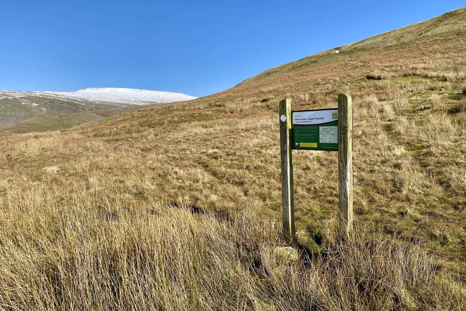
Begin your Cross Fell walk in the picturesque village of Milburn, accessible via several routes off the A66 between Appleby-in-Westmorland and Penrith. Parking is available around the village green, close to the school. From here, proceed north-east out of Milburn, following the bridleway towards Mudgill Sike. This marks the start of your ascent towards Silverband Mine, heading further north-east.
As you continue, the route becomes steeper, leading you across open access land towards Great Dun Fell. This section might prove challenging due to its steep gradient and the lack of a clear path. Persist in your climb until you meet a tarmac road. This road takes you directly to the radar station at the top of Great Dun Fell. From this point, follow the Pennine Way north-west. The trail dips slightly before ascending to Little Dun Fell’s summit.
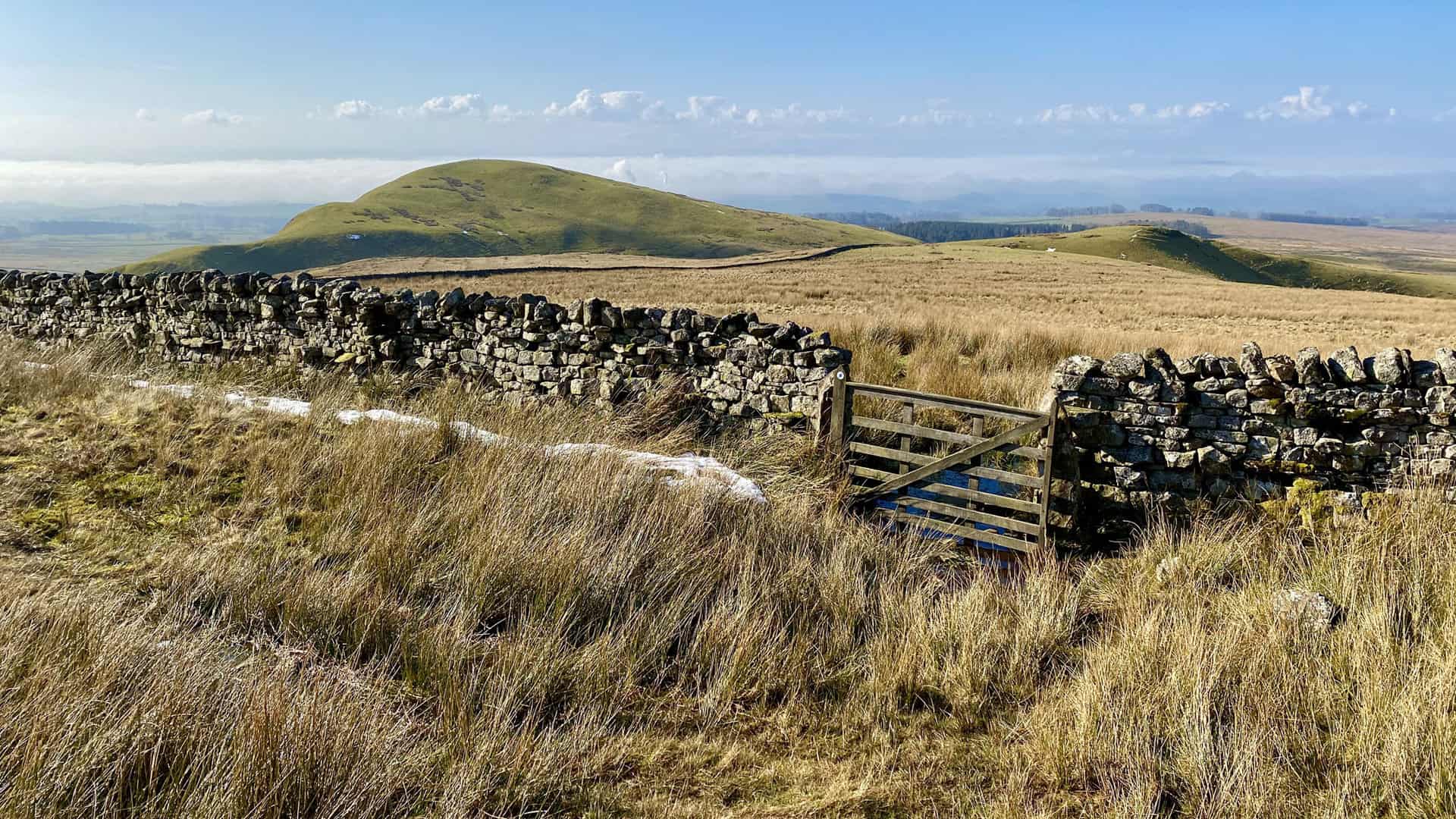
The journey on the Pennine Way continues, offering a well-marked route. It descends gradually before you begin your climb to Cross Fell. As the highest peak in England outside the Lake District, reaching its summit is a highlight of the walk. After enjoying the views, descend to join A Pennine Journey. Follow this path westward initially, then veer south, steadily descending towards Kirkland Hall, situated just before reaching the hamlet of Kirkland.
Maintain a southerly course, still on A Pennine Journey, as you traverse through Wythwaite and across farmland, returning to Milburn. Completing this 12½ mile trek through the North Pennines, including the summits of Great Dun Fell, Little Dun Fell, and Cross Fell, is an immensely rewarding experience. The Cross Fell mountain range can be seen from miles away, and walking across it makes this Cross Fell walk truly unforgettable.
Cross Fell Walk: Maps and Tools
Visit either the OS Maps website or the Outdooractive website to view this walking route in greater detail. Both platforms offer a range of features, including the ability to print the route, download it to your device, and export the route as a GPX file. You can also watch a 3D fly-over and share the route on social media.
Cross Fell Walk: Distance, Duration, Statistics
Distance: 12¾ miles
Distance: 20 kilometres
Duration: 6½ hours
Ascent: 2944 feet
Ascent: 897 metres
Type: Circular walk
About Cross Fell
Cross Fell stands as the most elevated peak in the Pennines of Northern England, and is the highest mountain in England outside the Lake District. It is proudly positioned within the North Pennines Area of Outstanding Natural Beauty (AONB). The mountain is nestled within the county of Cumbria and the historic county borders of Cumberland.
Geography and Landscape
The summit of Cross Fell ascends to 893 metres (2930 feet). It forms part of an extensive ridge that spans 7¾ miles (12½ kilometres), including Little Dun Fell at 842 metres (2762 feet) and Great Dun Fell at 848 metres (2782 feet). These fells create a dramatic escarpment that towers over the Eden Valley on the south-west and slopes gently towards the South Tyne and Tees Valleys on the north-eastern side.
Summit Features and Views
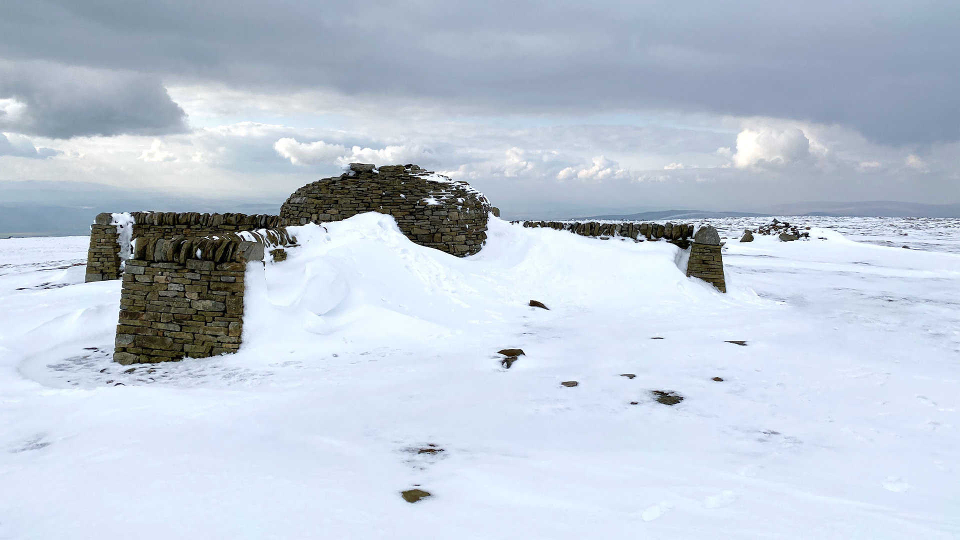
A unique cross-shaped dry-stone shelter marks the summit of Cross Fell, providing a distinctive landmark and a spot for walkers to take refuge. On clear days, the summit offers spectacular views across the Eden Valley to the mountains of the Lake District, and to the north, it presents stunning vistas across the Solway Firth to the Southern Uplands of Scotland. This shelter not only serves as a point of interest but also as an ideal place to enjoy a coffee or lunch while soaking in the breathtaking views that surround you on the Cross Fell walk.
Climatic Conditions and Historical Significance
Cross Fell is known for its dense hill fog and the intense Helm Wind, noted for its characteristic shrieking sound. The fell can be quite unwelcoming for much of the year, previously referred to as ‘Fiends Fell,’ indicating a history tied to dark spirits. Legend has it that St Augustine of Canterbury blessed the hill, leading to its name change to Cross Fell in the Christian tradition. Nonetheless, there’s speculation that the name also mirrors the fell’s turbulent weather and its ancient reputation as a domain of spirits.
Cross Fell Geology and Ecology
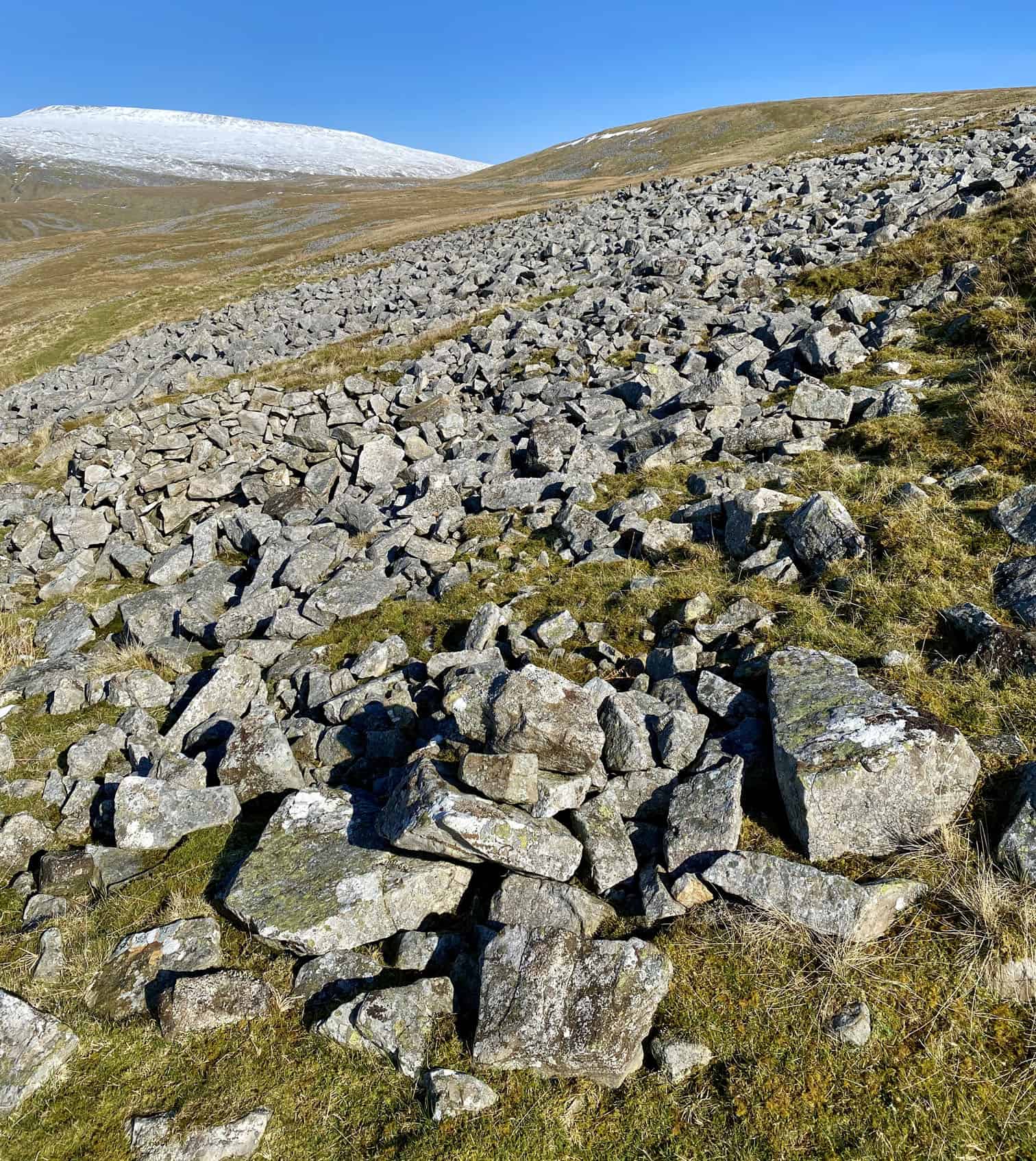
Cross Fell and its adjacent fells consist mainly of mudstone, sandstone, and siltstone from the Yoredale Group, with lower regions made up of Carboniferous Limestone. The landscape is characterised by steep rock faces where erosion-resistant layers are prominent, along with shale and gritstone outcrops. Frost has broken down the rock faces on the south and west slopes into scree, indicating the area’s glacial past under a covering of thin soil and acidic peat.
Snow Coverage and Flora
This high terrain, encompassing Cross Fell, Great Dun Fell, and Little Dun Fell, represents the largest area in England over 800 metres (2625 feet), typically retaining snow longer than nearby regions. Snow may remain until May, with some instances of it persisting into July and fresh snowfall in June not being unusual. The fell receives about 2800 millimetres (110 inches) of precipitation annually, hosting rare alpine plants like the Starry Saxifrage and mountain Forget-me-not in its ‘siliceous alpine and boreal grassland,’ a habitat more common to Scottish and Scandinavian highlands. It is designated as a Special Area of Conservation (SAC).
Visibility and Impact
Cross Fell’s imposing presence is unmistakable, dominating the skyline along almost the entire 20-mile length of the A66 trunk road between Penrith and Stainmore. Its prominence is visible from numerous locations within the Lake District, such as the Helvellyn summit, and from distant points in Dumfriesshire and Northumberland. In exceptional conditions, it is claimed to be visible from the summit of Carnedd Llewelyn in Snowdonia, Wales, at a remarkable distance of 123 miles (198 kilometres).
Recommended Ordnance Survey Map
The best map to use on this walk is the Ordnance Survey map of the North Pennines, reference OS Explorer OL31, scale 1:25,000. It clearly displays footpaths, rights of way, open access land and vegetation on the ground, making it ideal for walking, running and hiking. The map can be purchased from Amazon in either a standard, paper version or a weatherproof, laminated version, as shown below.
Cross Fell Walk: My Photos
From left to right, the snow-covered mountains of Cross Fell, Little Dun Fell and Great Dun Fell.
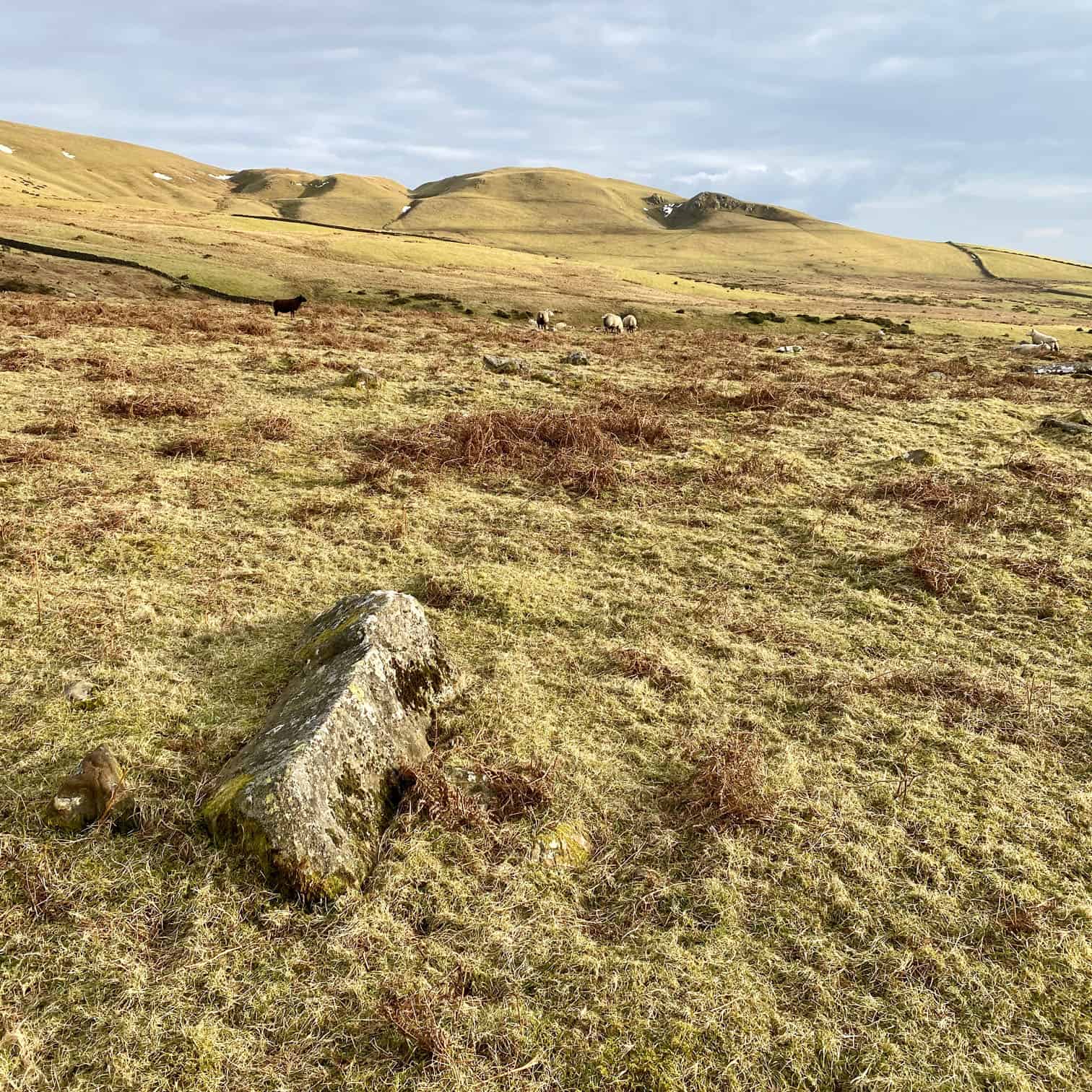
The view down to Mudgill Sike. According to Dictionary.com, a sike is ‘a gully or ditch, especially one that fills with water after a heavy rain’. A very apt definition – it was very boggy and difficult to cross.
Looking north towards Cross Fell.
The view south-west over to Burney Hill.
Cross Fell remains in view as I climb the difficult slopes near Hanging Shaw.
To the west and south-west the fells of the Lake District are just visible.
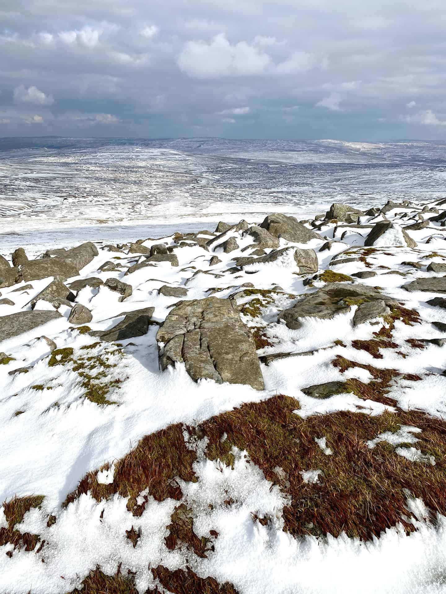
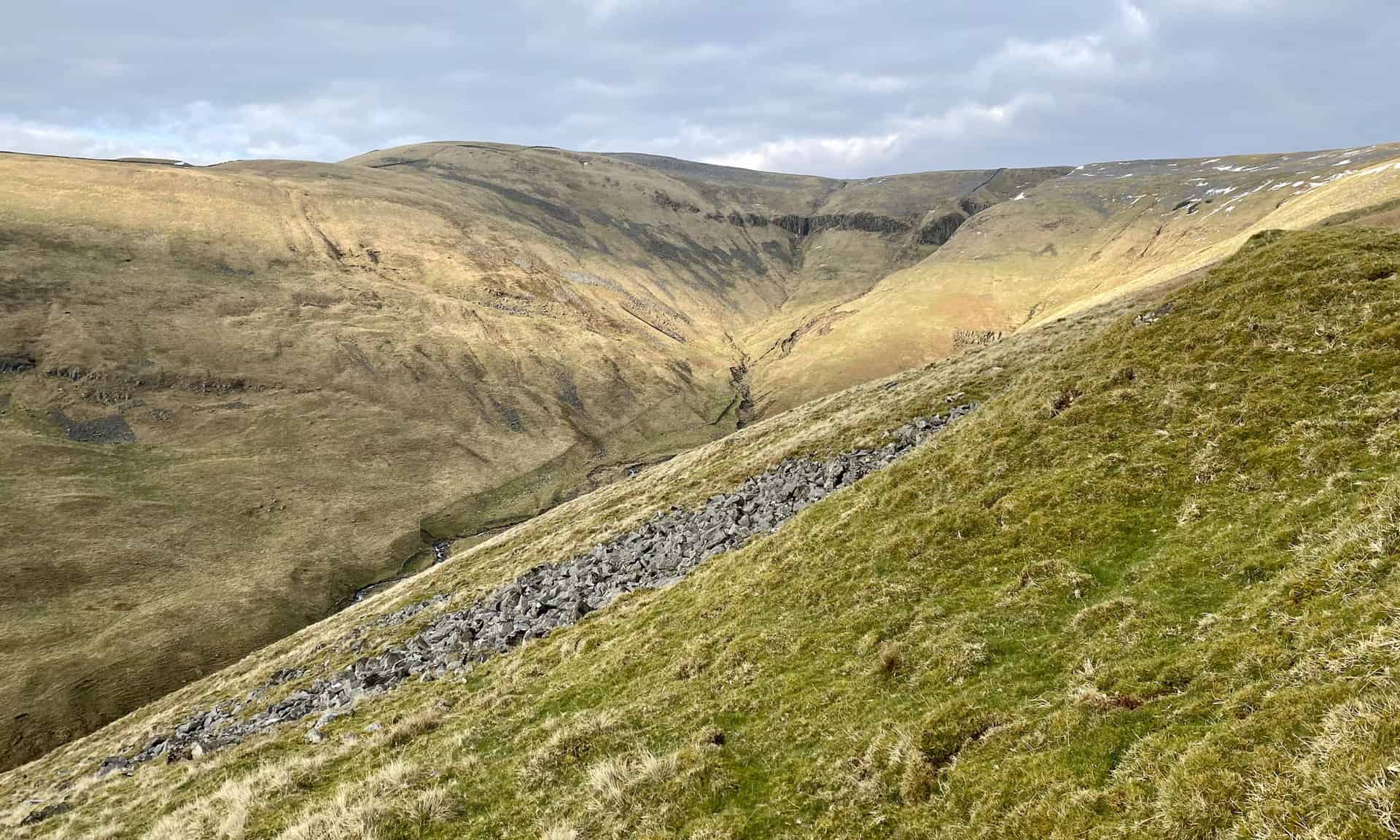
Shake holes and spoil heaps are numerous as I approach the disused Silverband Mine area below Great Dun Fell.
Cross Fell as seen from Silver Band.
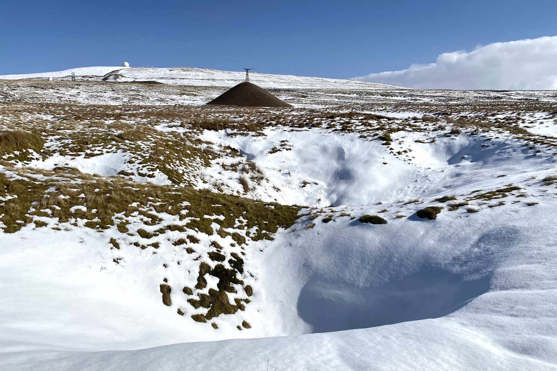
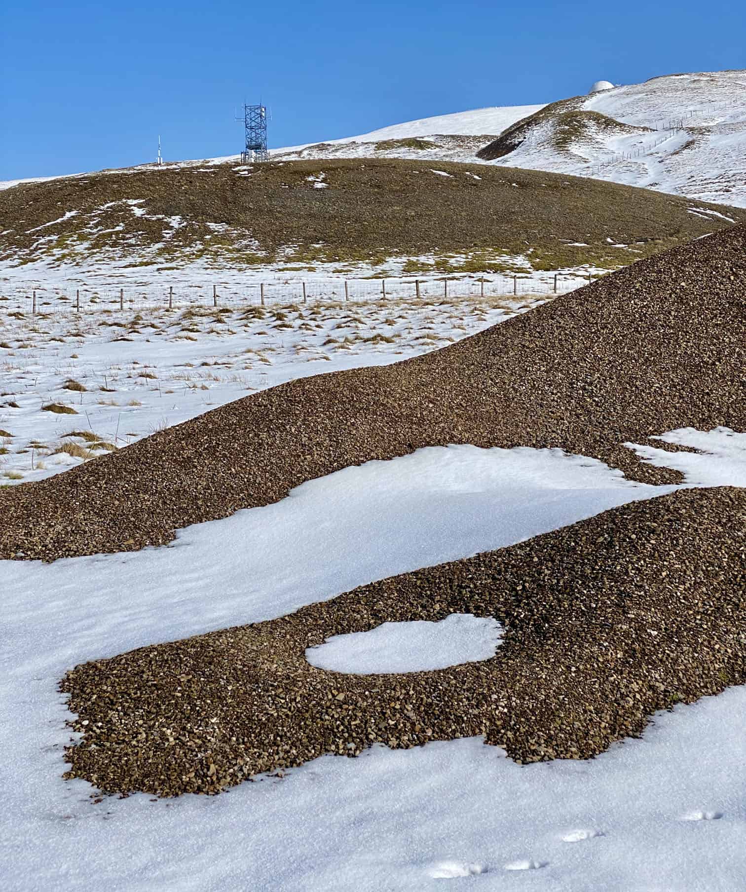
Spoil heaps on the south-western slopes of Great Dun Fell, the result of a once very busy lead mining industry.
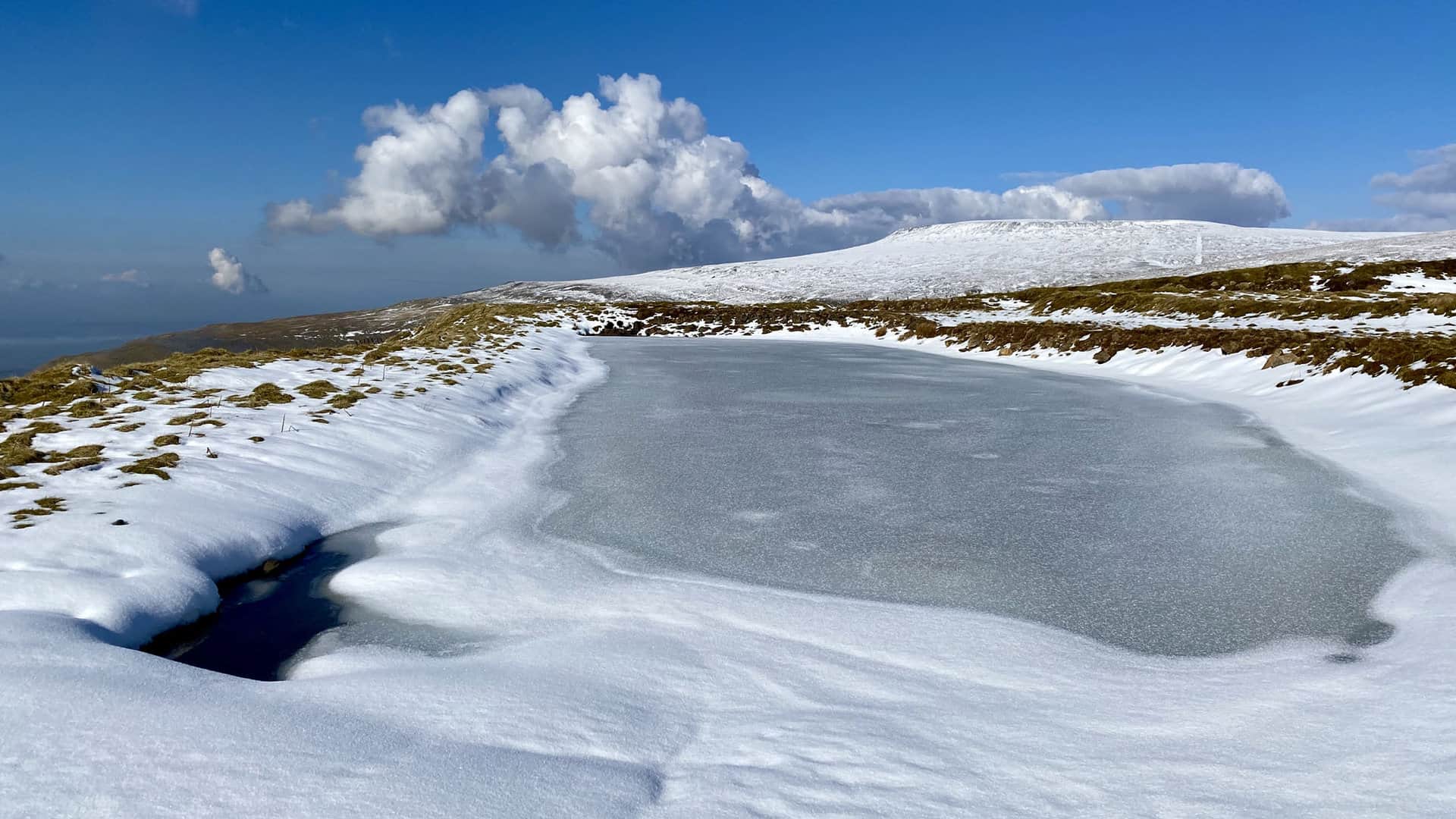
One of several ponds on the site of the disused Silverband Mine.
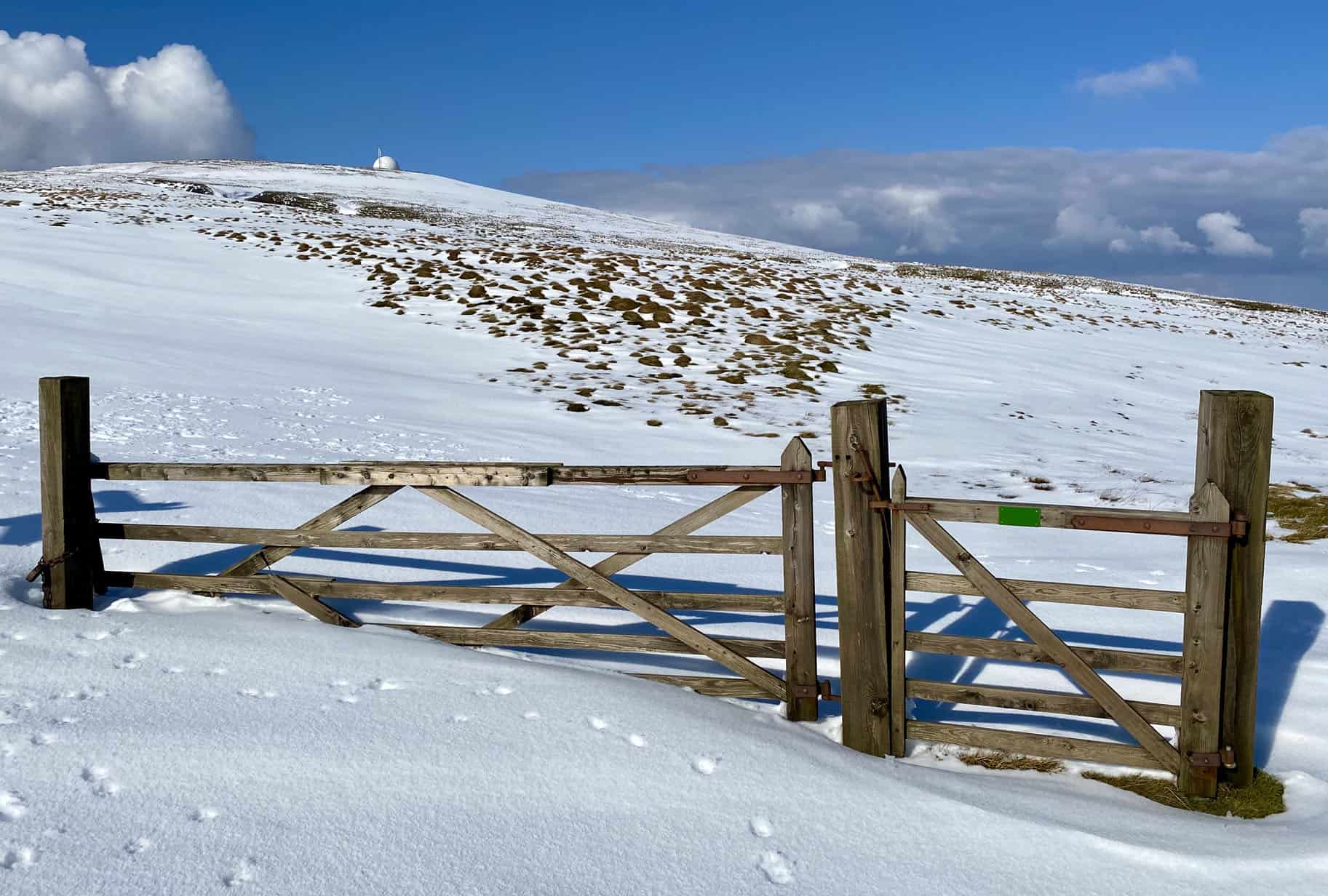
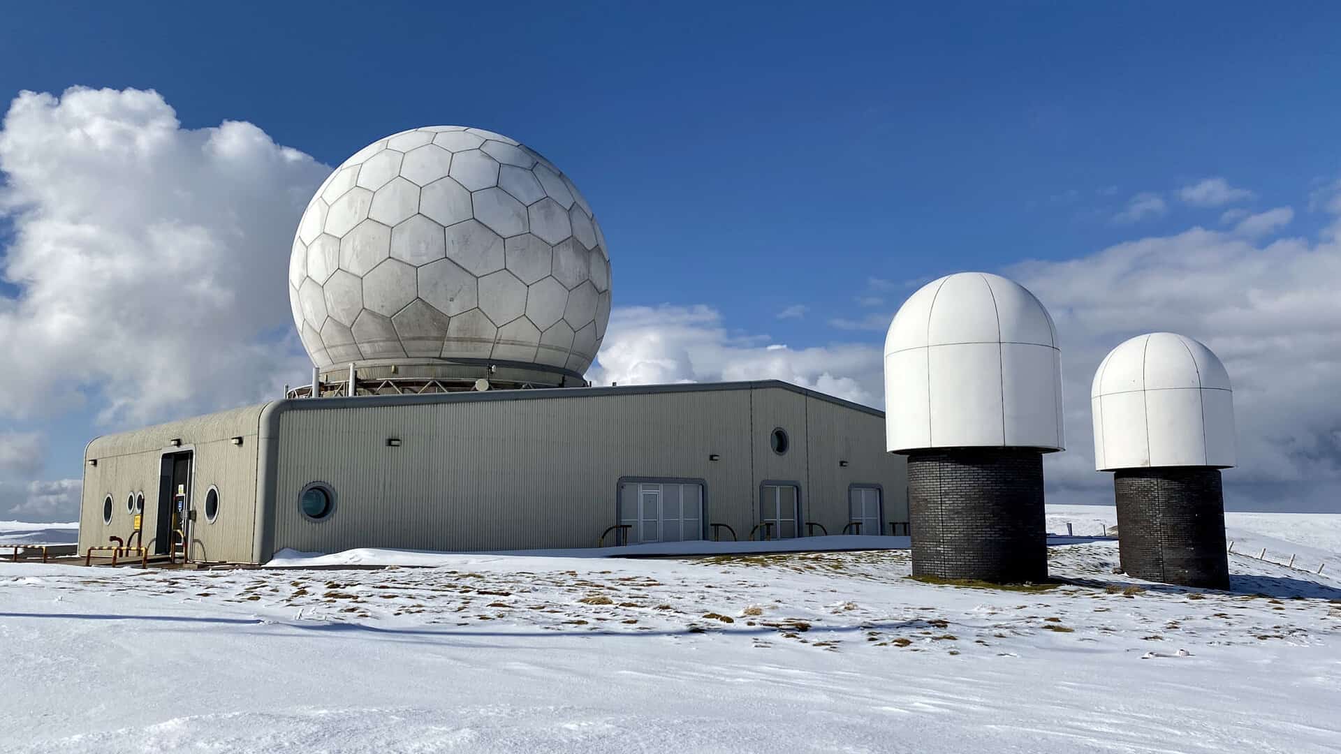
Looking up at the radar station ‘golf ball’.
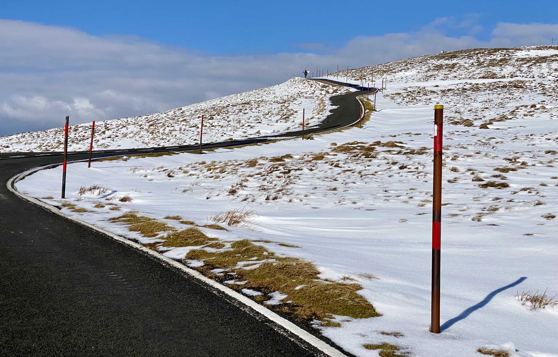
The highest road in England, leading to the Great Dun Fell summit.

Visible at the top of the road, a man about to have some fun on his snowboard.
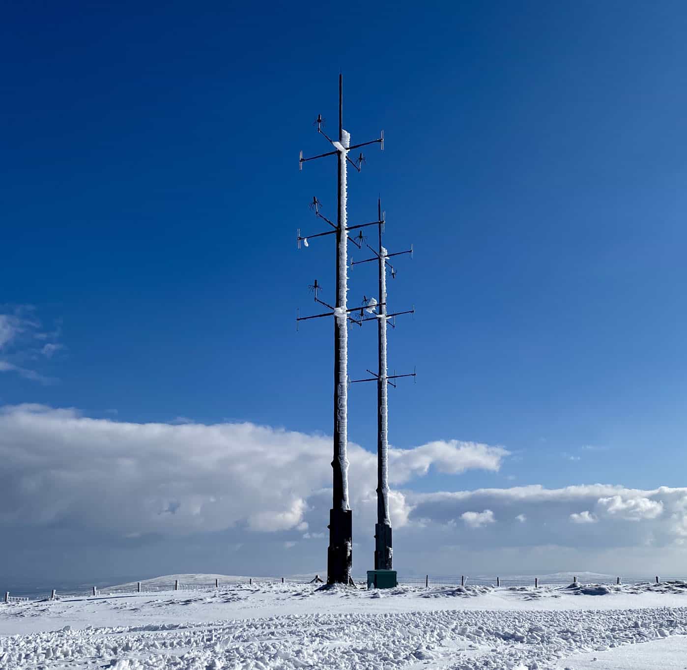
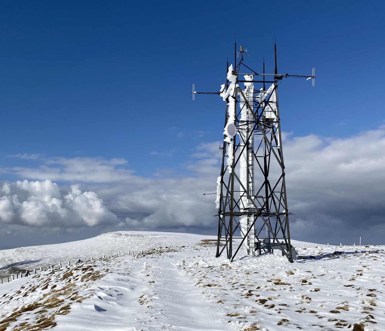
A few pictures of the radar station at the top of Great Dun Fell, height 848 metres (2782 feet). Great Dun Fell is about one-third of the way round this Cross Fell walk.
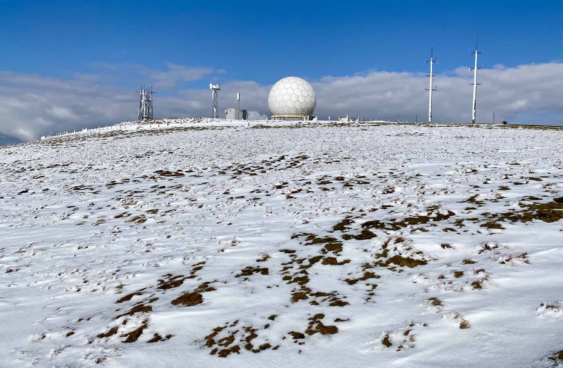
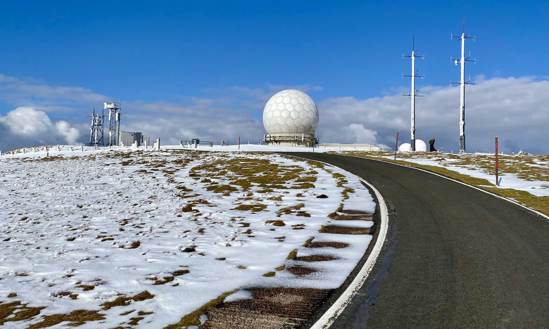
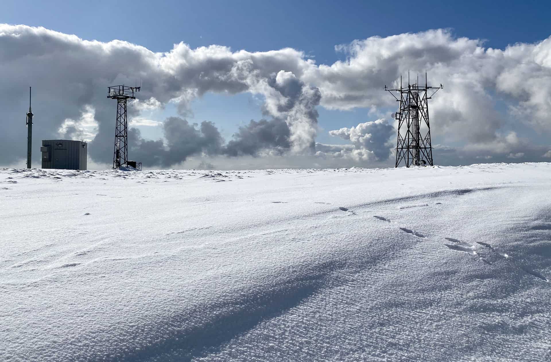
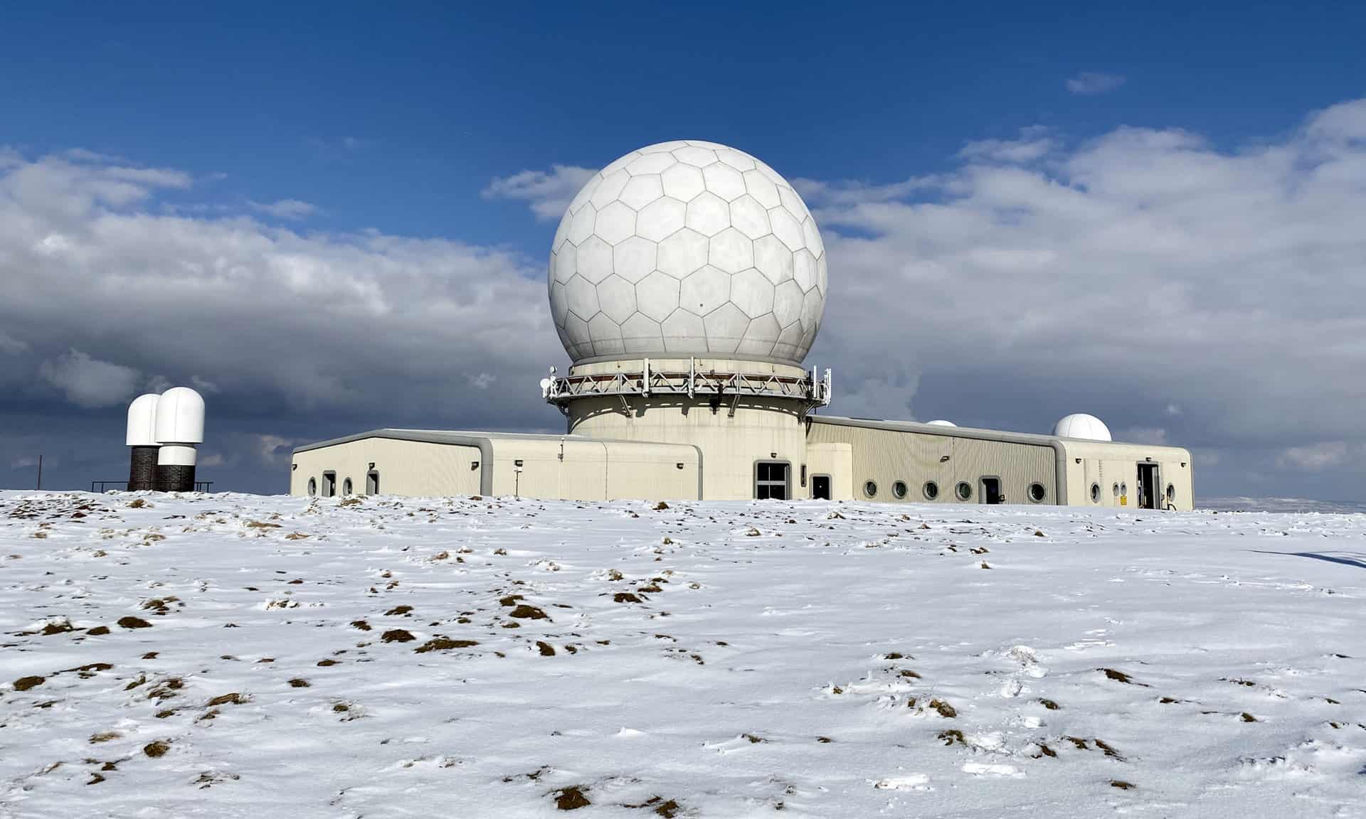
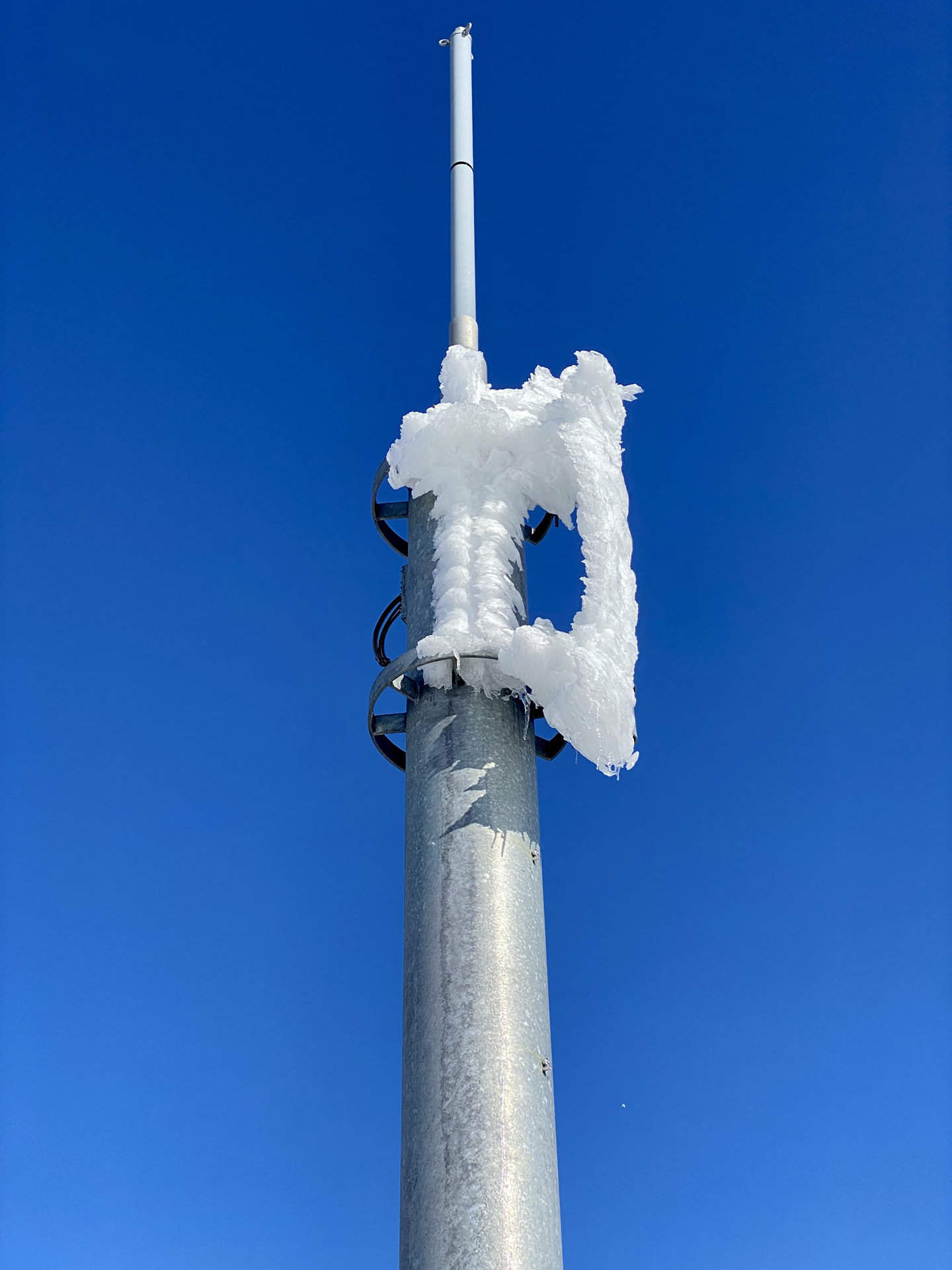
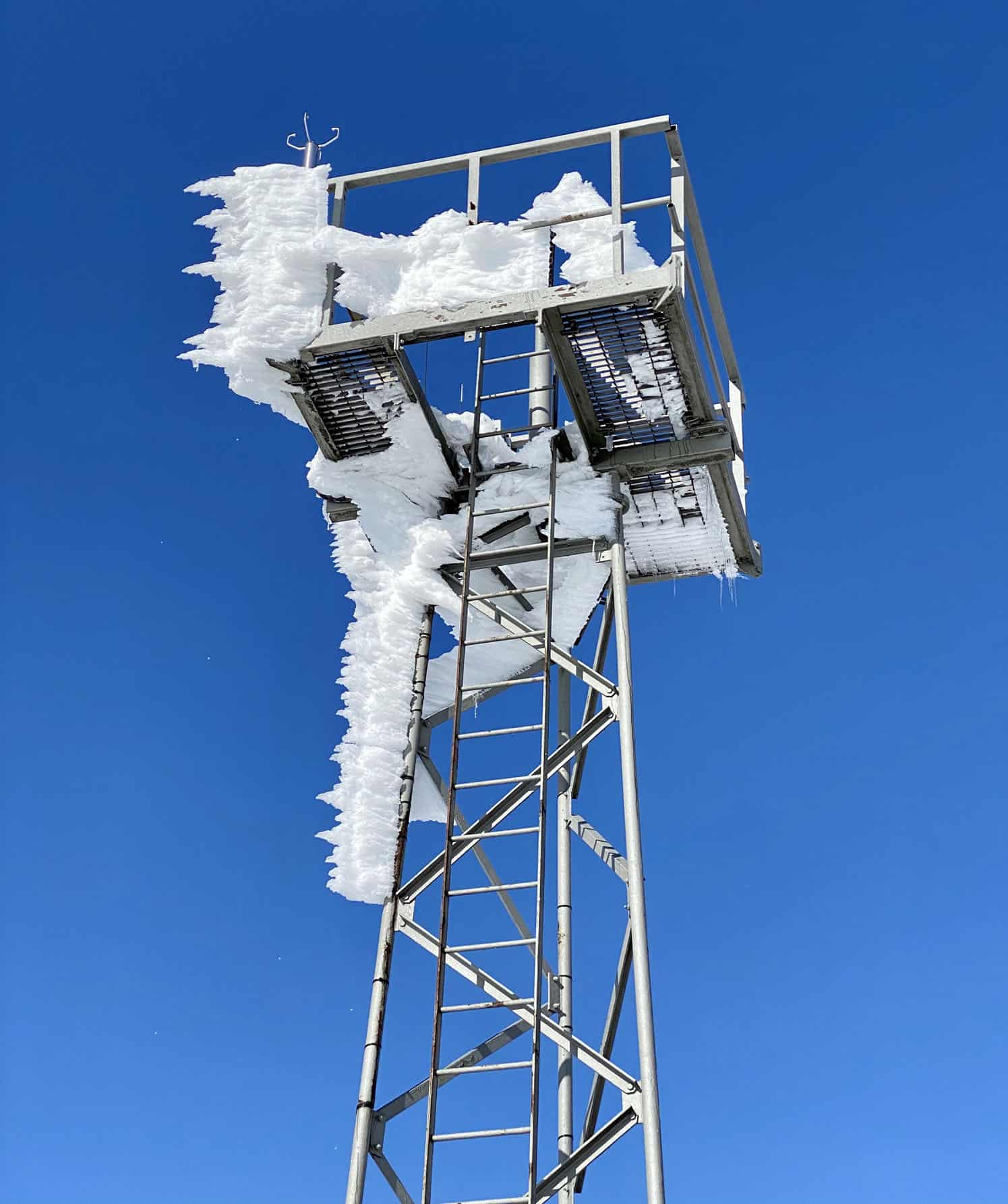

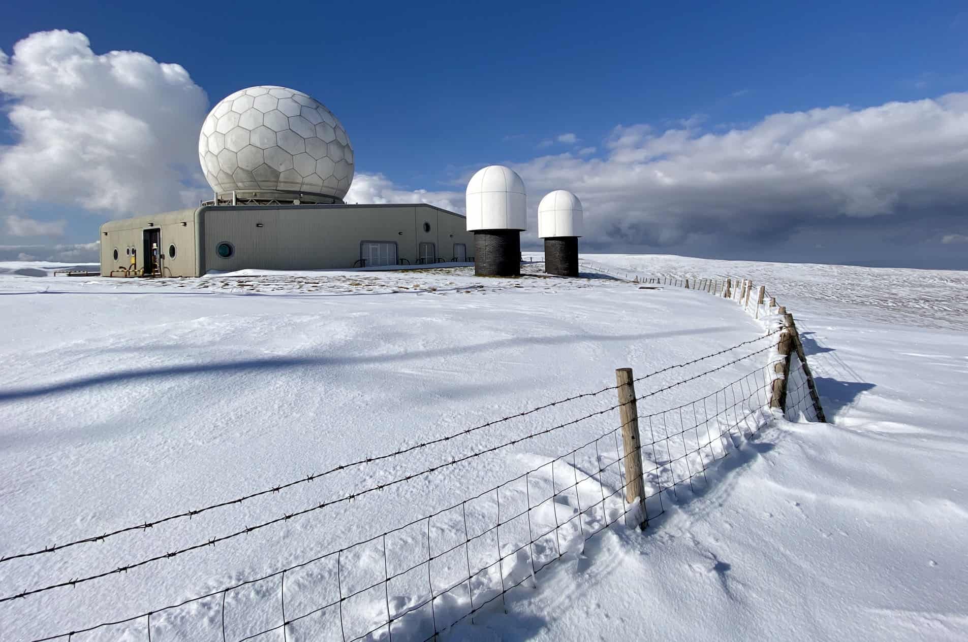
The last time I was here the weather was horrendous, in particular very strong winds and thick fog. Visibility was so poor I couldn’t see this huge ‘golf ball’ even from just a few metres away. Today the weather was almost magical. It was amazingly calm, clear and warm, and I spent quite a lot of time up here enjoying the experience.
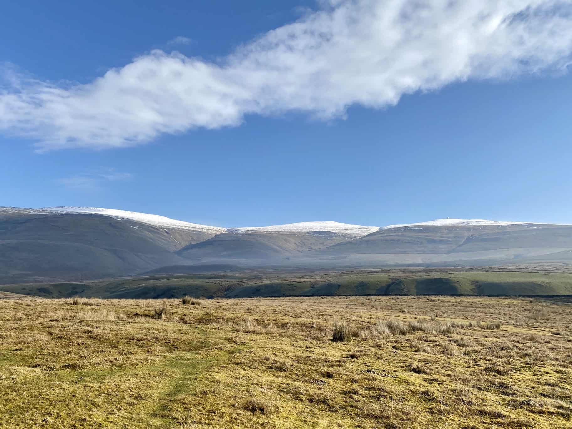
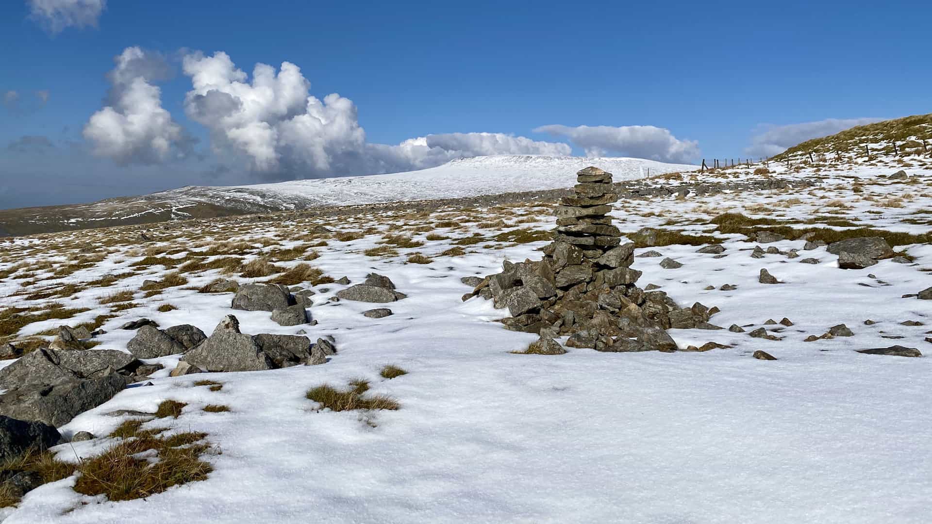
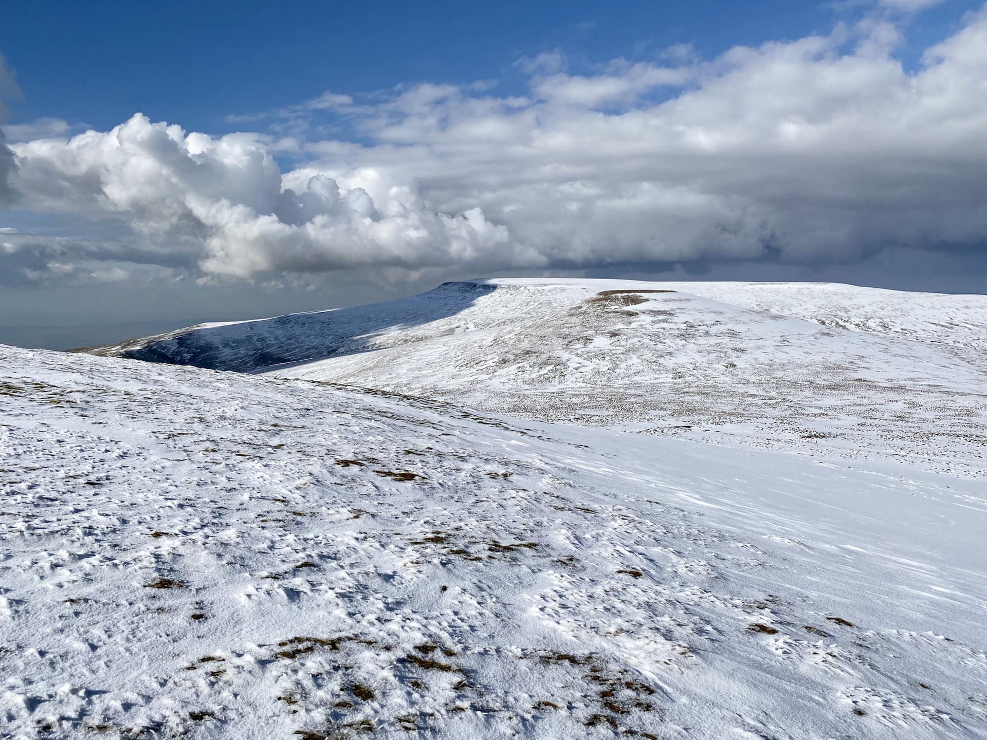
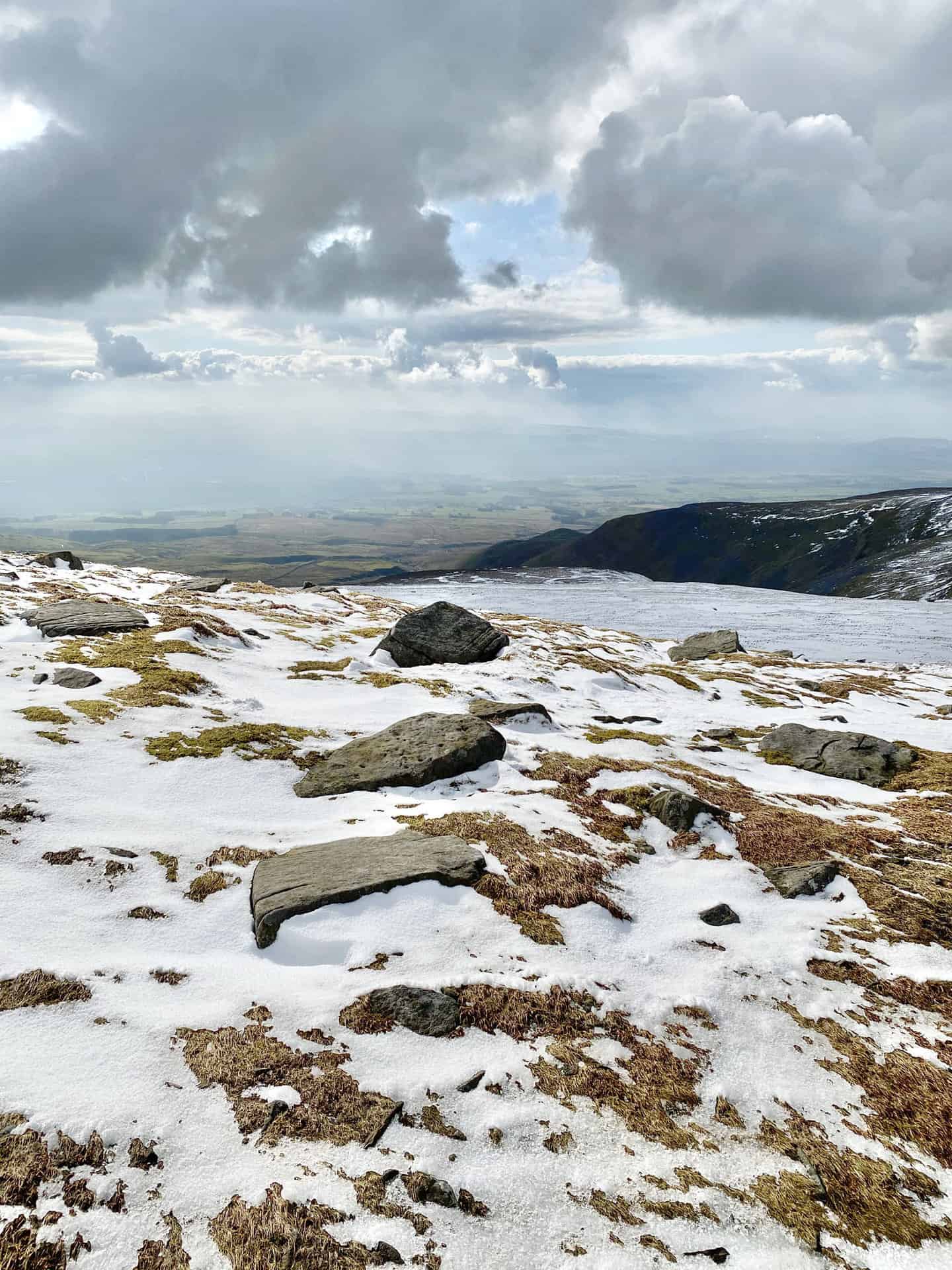
The view north-west from Great Dun Fell to Little Dun Fell and Cross Fell. The Pennine Way joins the summits of these three mountains and the crossing, although a little strenuous, is usually fairly straightforward. The path is well-defined and parts of it are paved with flagstones. However, when snow covers the path the walk is more difficult because you’re never quite sure whether you have hard or boggy ground underfoot. For me, the snow was not compact enough to take my weight, so with almost every step I was sinking into the snow and the water or mud below it.
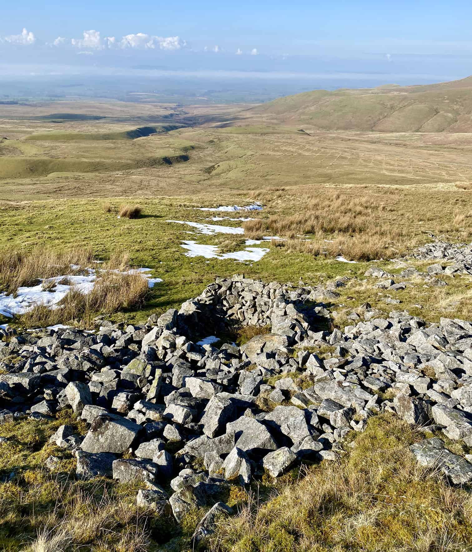
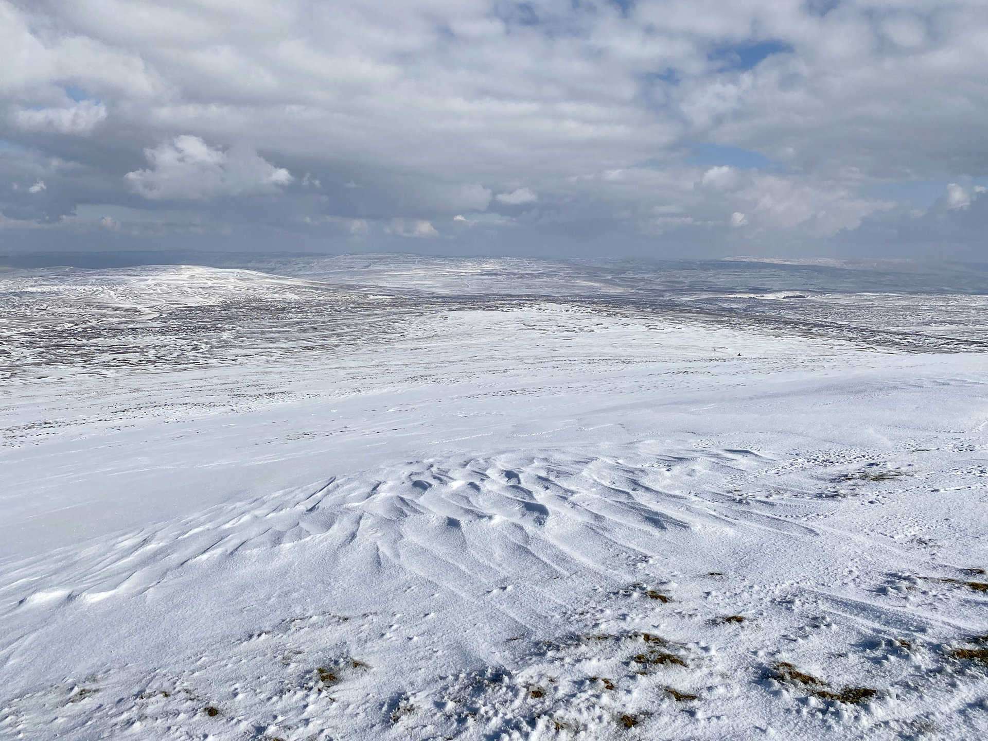
The barren and remote landscape of the North Pennines on the north-east side of Great Dun Fell.
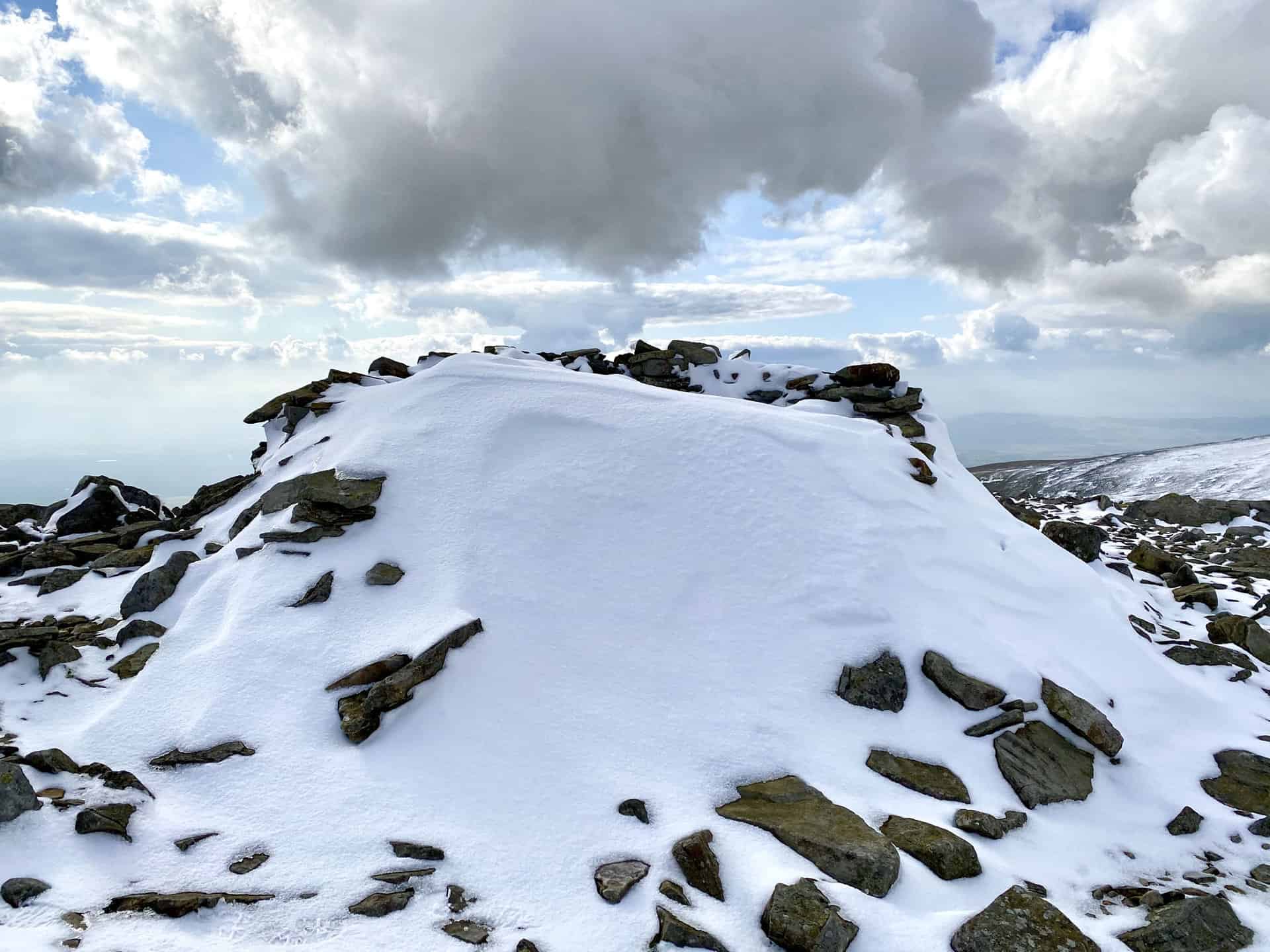
The summit of Little Dun Fell, height 842 metres (2762 feet).
Shelter on the summit of Little Dun Fell filled with snow.
Boulders on Little Dun Fell.
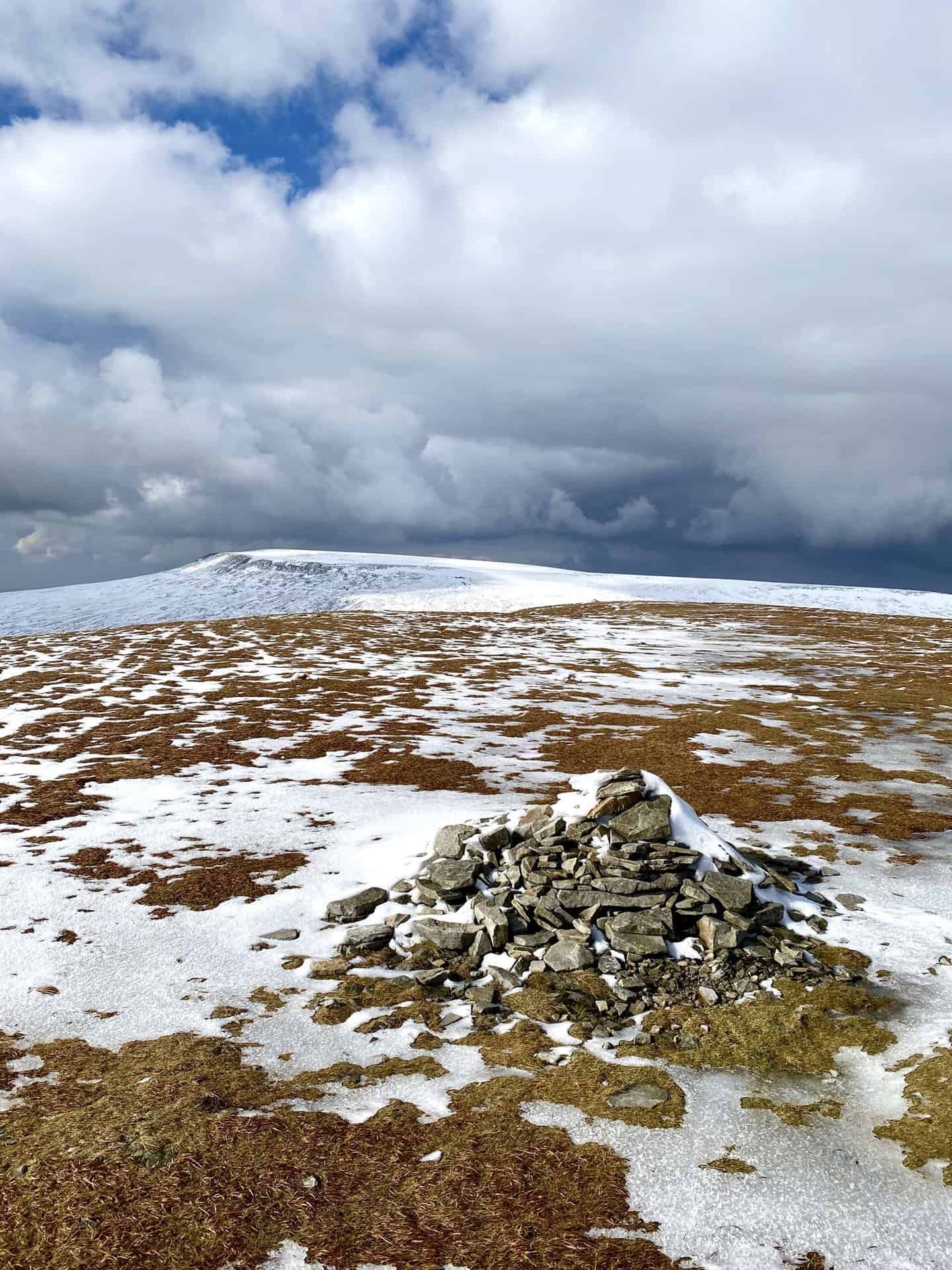
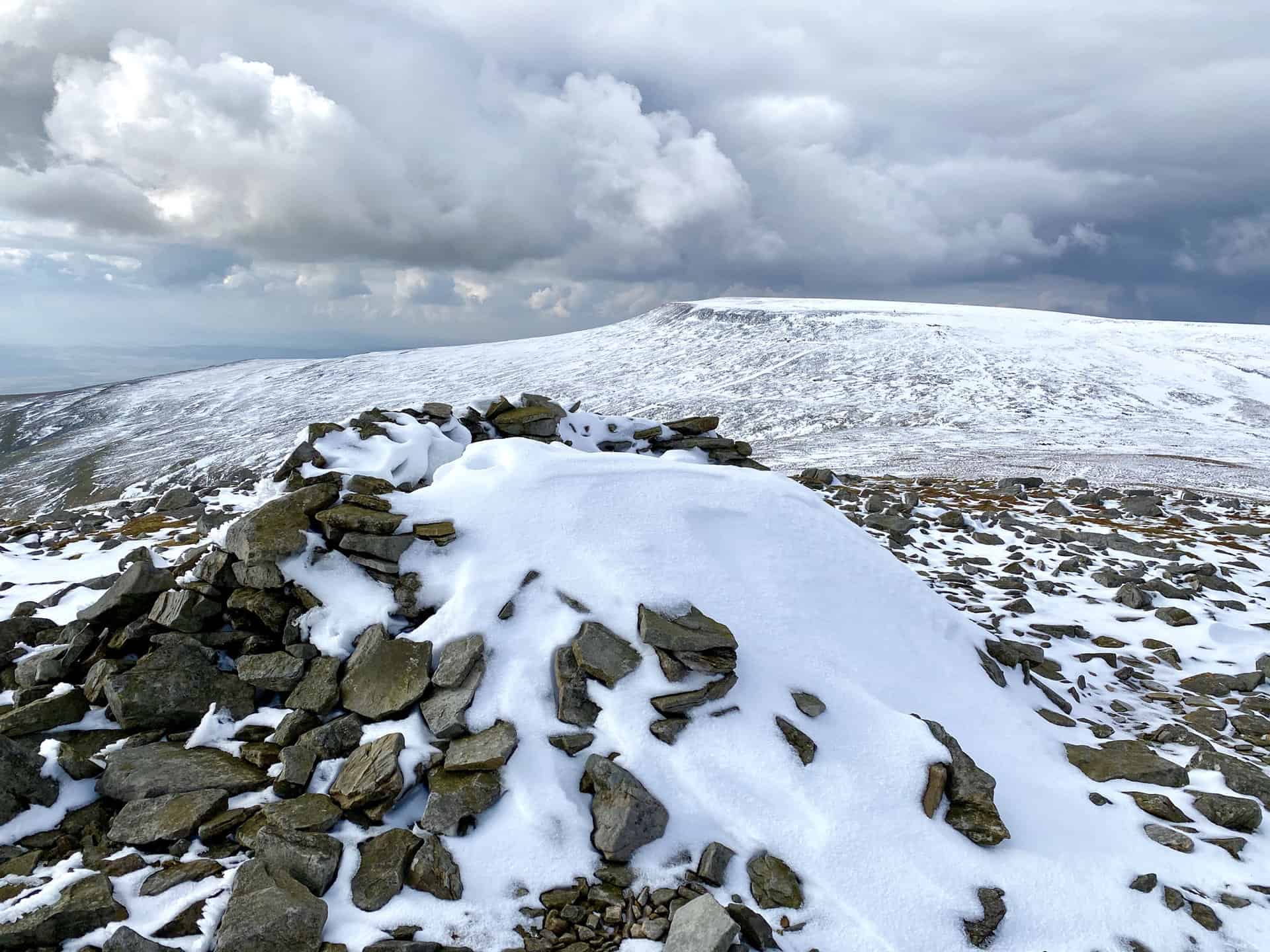
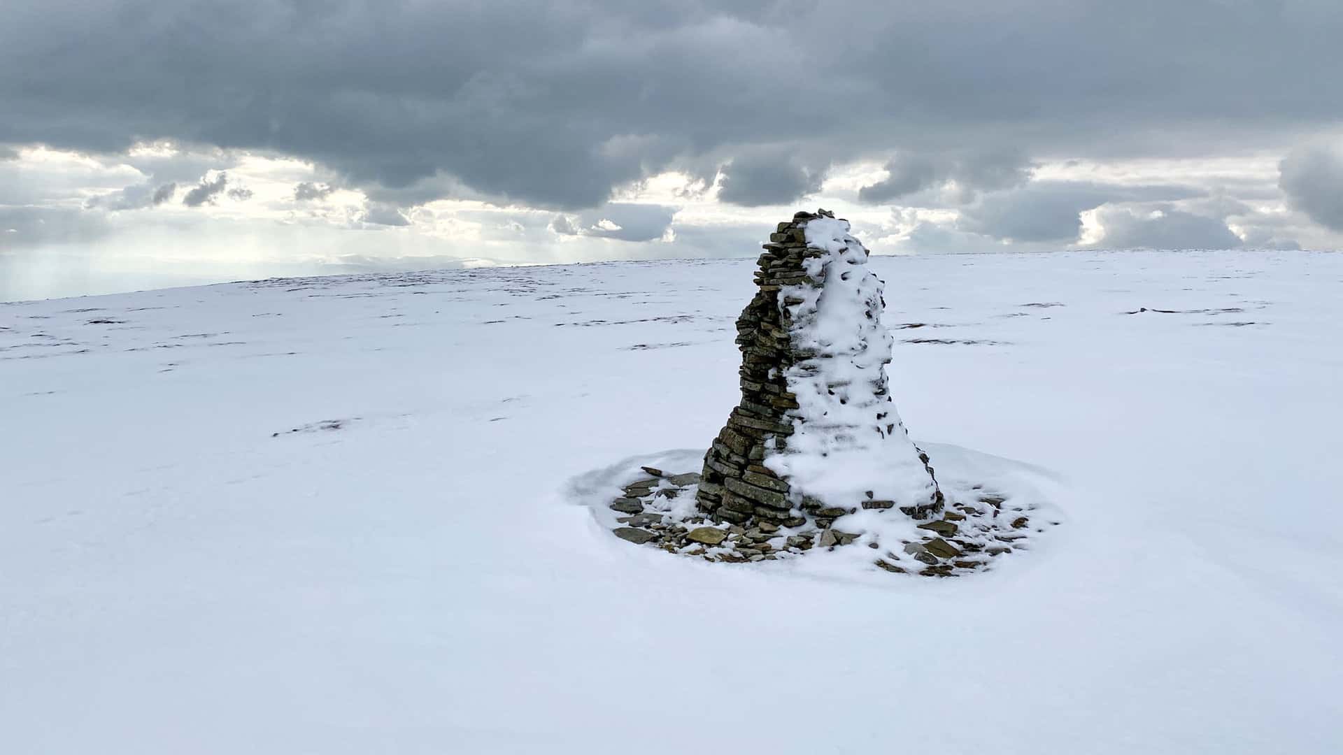
The first of two large cairns on the south-east approach to the Cross Fell summit. It can be seen from a distance and helpfully marks the route of the Pennine Way.
The second of two large cairns on the south-east approach to the Cross Fell summit.
The summit of Cross Fell, height 893 metres (2930 feet). Cross Fell is the highest mountain in England outside the Lake District.
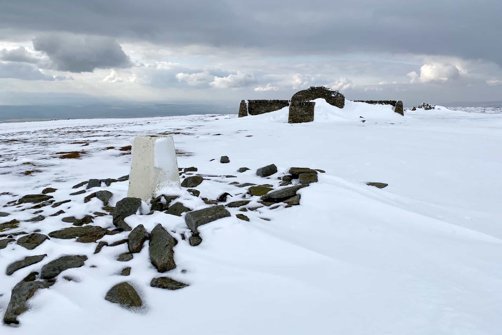
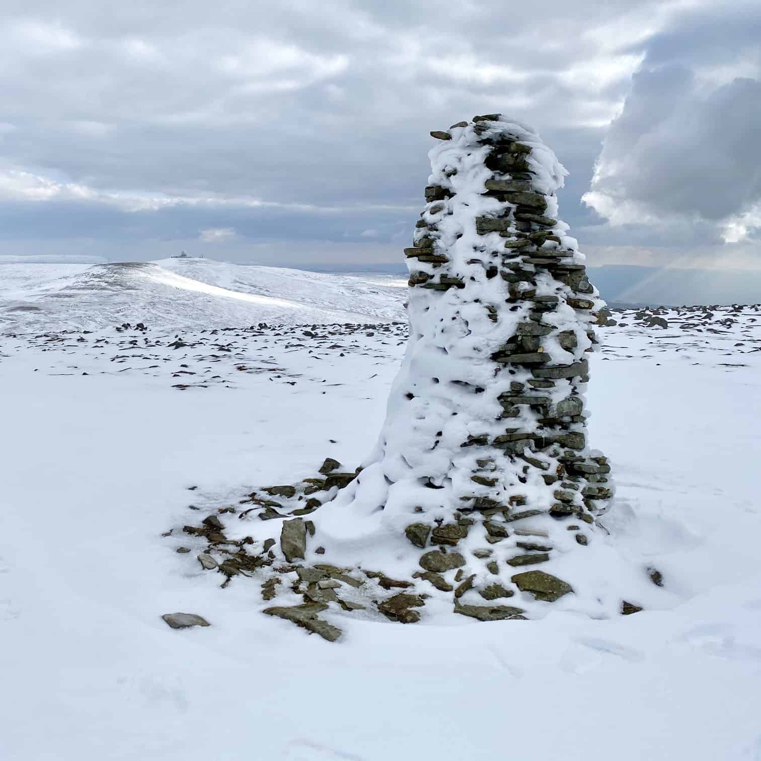
Shelter and seating area on Cross Fell completely filled with snow. This is the halfway point of this Cross Fell walk.
Boulders at Stoop Band as I descend Cross Fell and head west on A Pennine Journey.
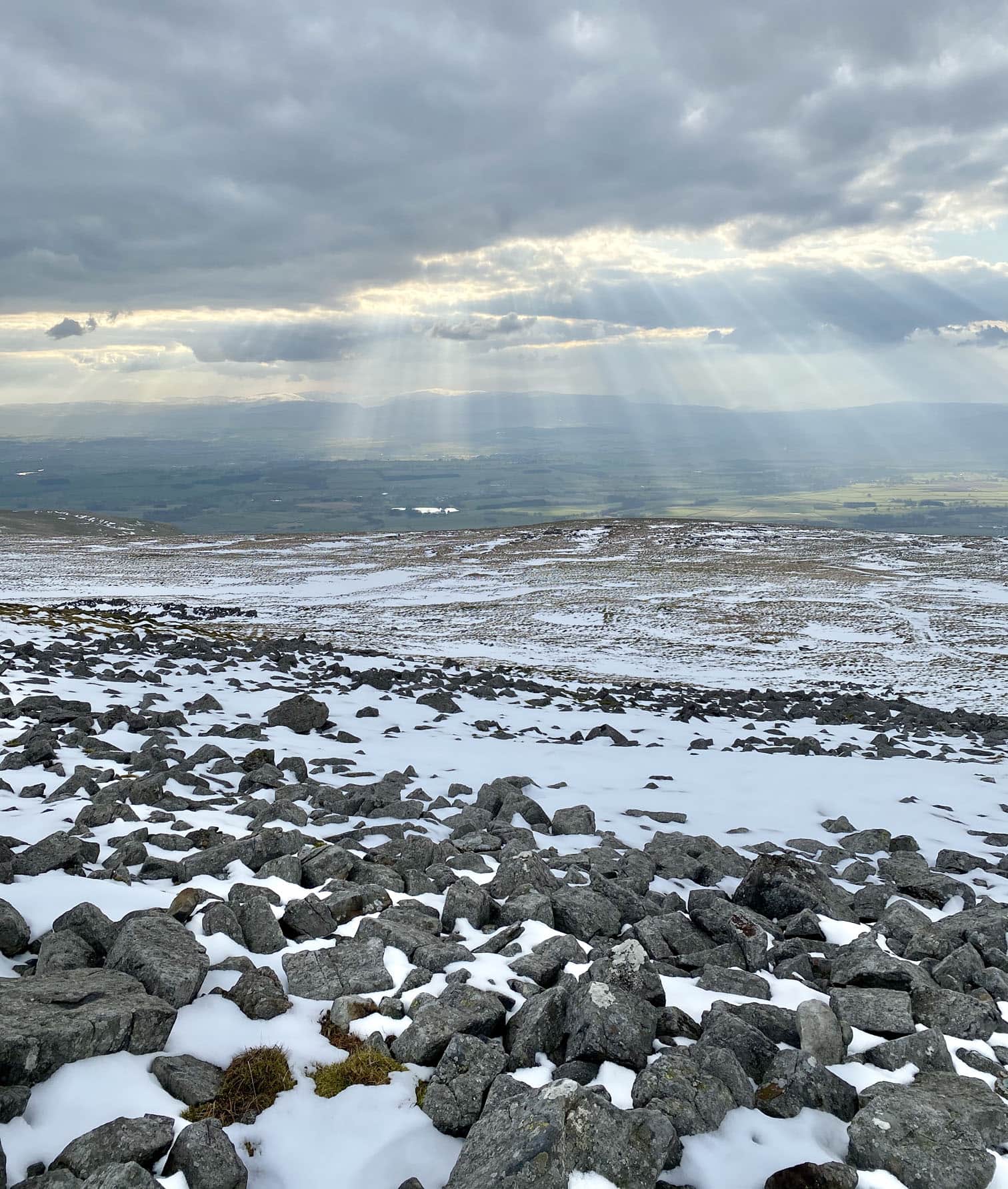
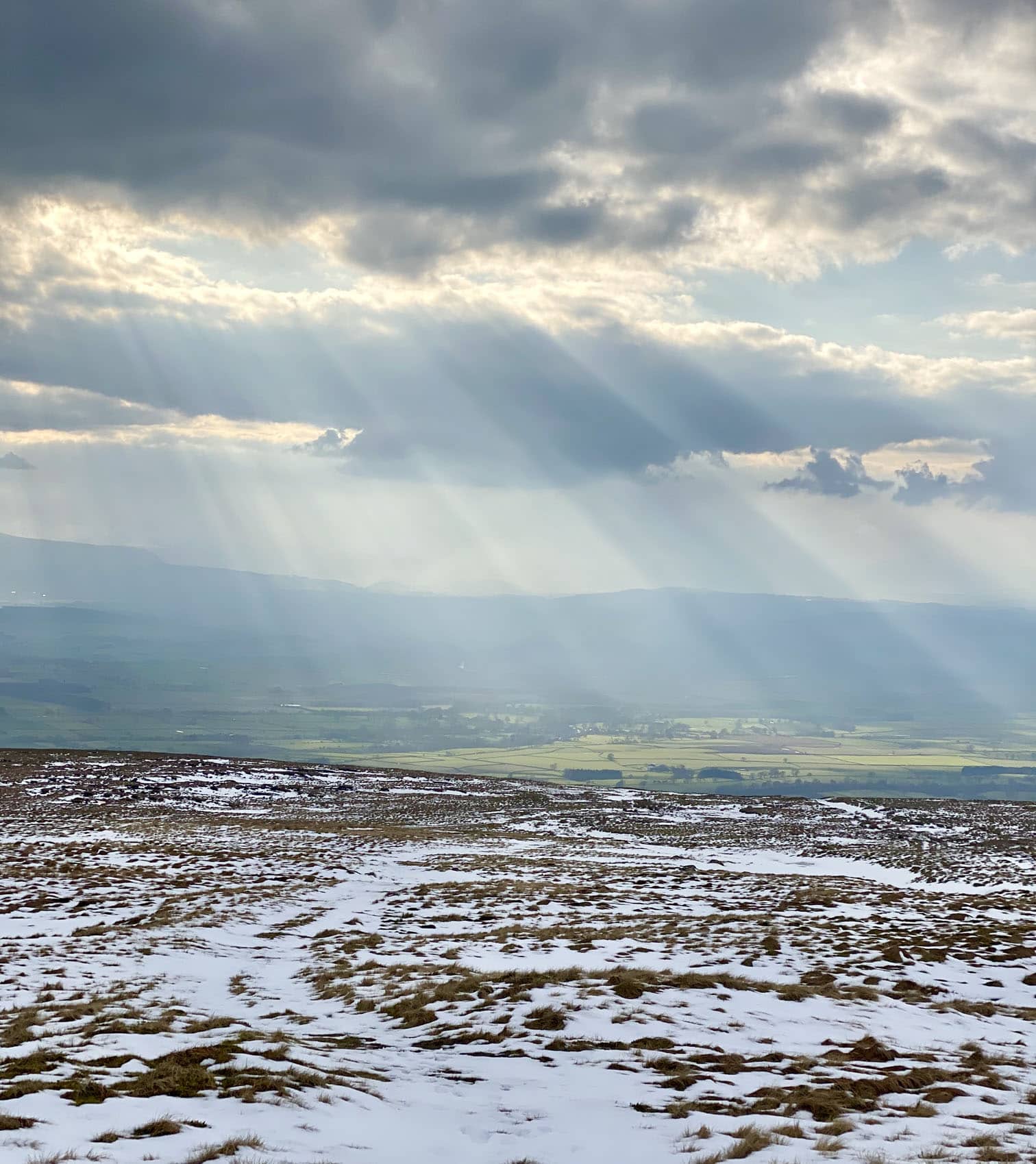
Heading down Cross Fell on A Pennine Journey. The sun’s rays look amazing.
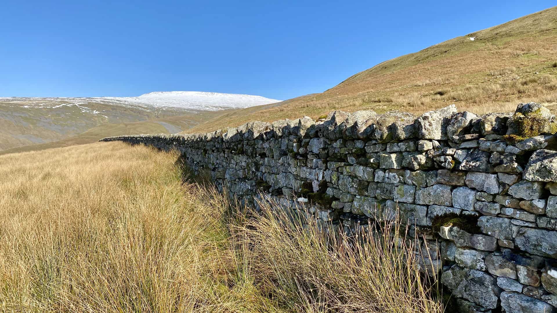
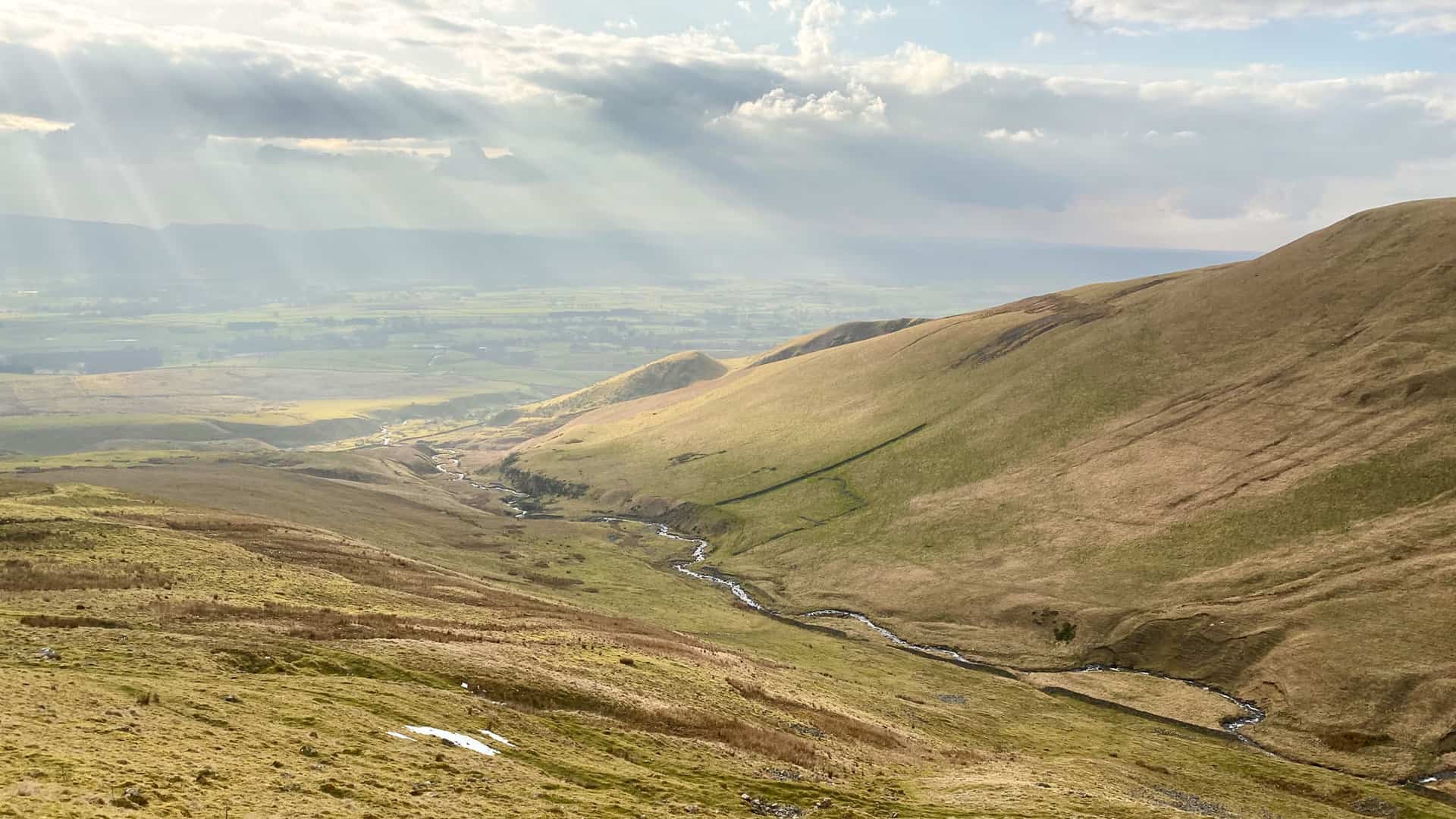
Another definition of a sike according to Dictionary.com is ‘a small stream’. Gregory’s Sike flows through the middle of this valley. The area at the top of the valley where there is exposed rock and scree is called Black Doors.
Gregory’s Sike meanders through the valley and becomes Ardale Beck lower down.
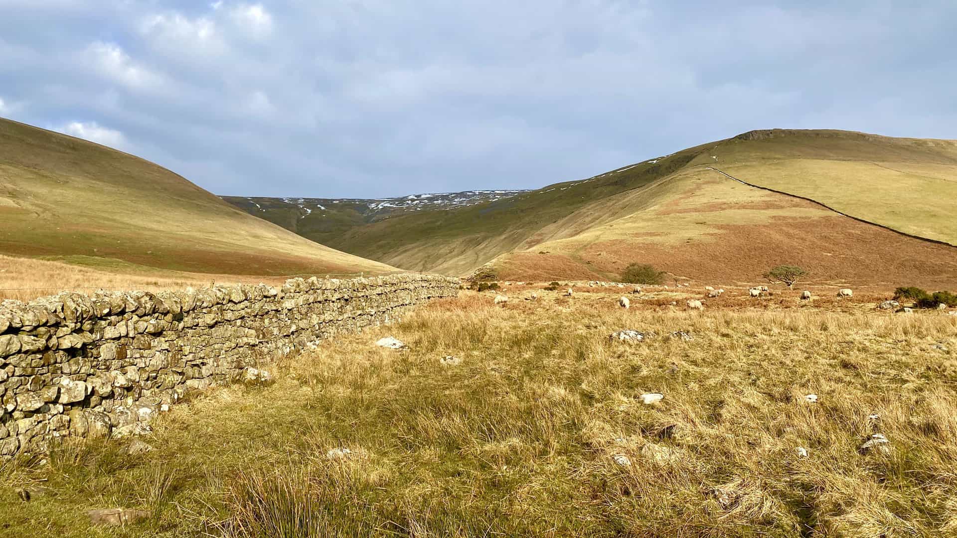
Looking east in the direction of Cross Fell, but it is now hidden by Wildboar Nook.
Wildboar Nook (the hill) and Kirkdale (the valley).
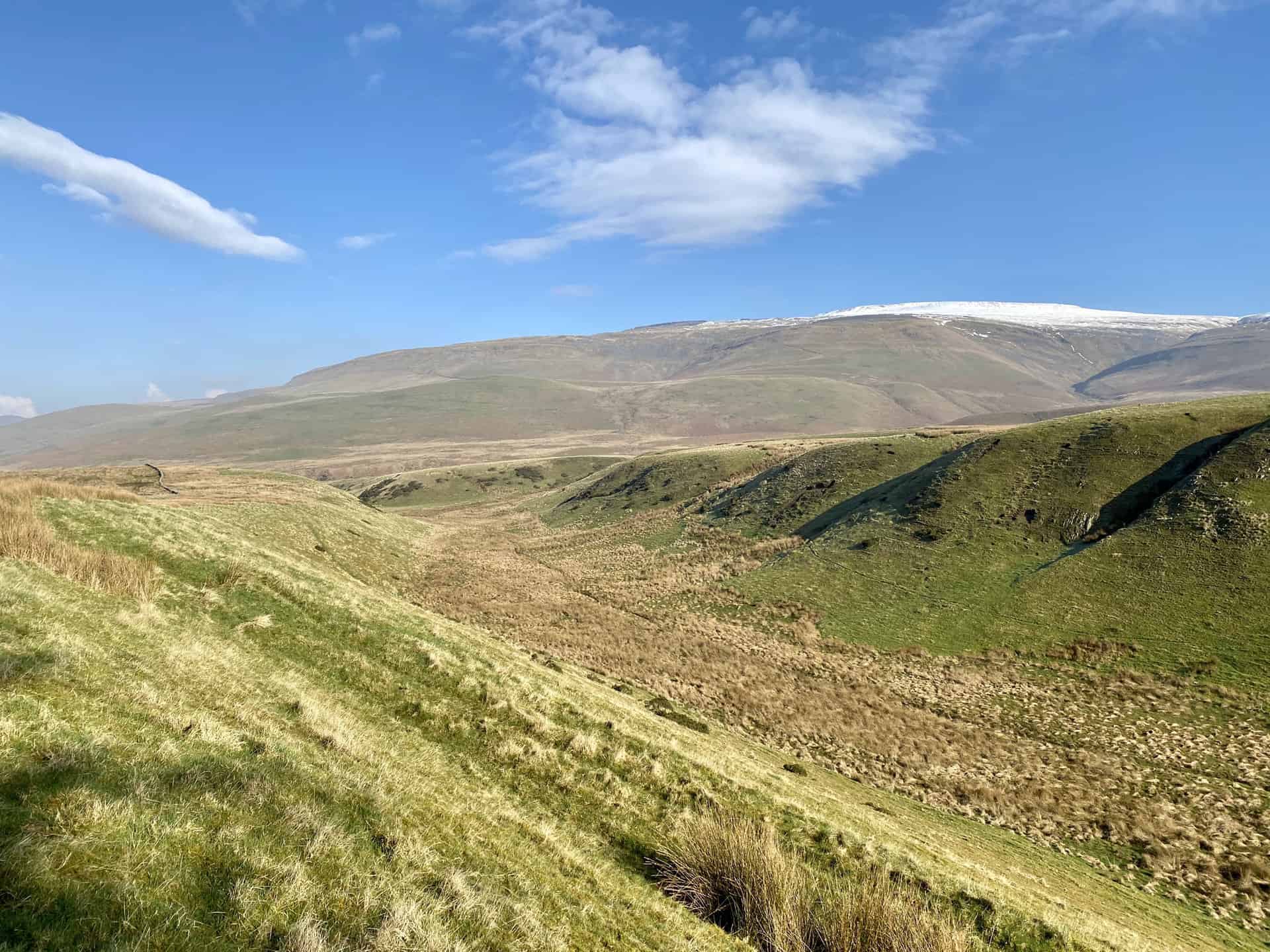
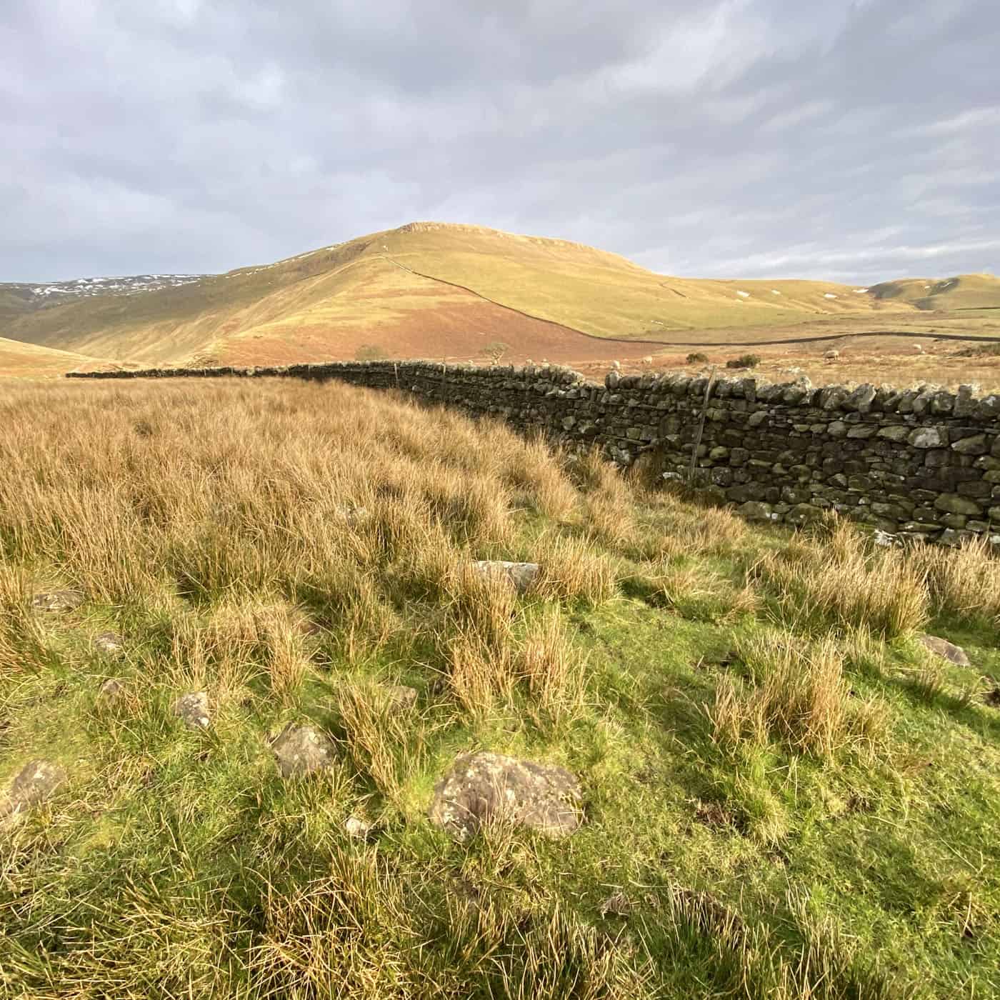
Wythwaite Top as seen from Ranbeck, about three-quarters of the way round this Cross Fell walk.
Amazon’s Top Walking Boots: Four Standout Choices for Men and Women
For walking and hiking, the right boots are essential for both comfort and safety. While Amazon boasts a wide range, certain boots emerge as top-sellers. From those, here are four I personally favour. As an Amazon affiliate, I may earn a small commission from any purchases made through the links provided. This helps support the upkeep of this website. Rest assured, you won’t pay a penny extra, but your purchase will contribute to keeping my site running smoothly. Happy walking!

Berghaus Men’s Hillmaster II Gore-Tex Walking Boots
These fully waterproof leather walking boots feature a Gore-Tex lining, ensuring no water enters whilst allowing feet to breathe and stay cool. Made from full-grain leather, they promise unmatched durability and comfort. The boots come with memory foam tongues and cuffs that mould to your feet for a tailored fit, and the Vibram Hillmaster outsoles offer confidence on challenging terrains.

Salewa Men’s Mountain Trainer Mid Gore-Tex Walking Boots
Made from durable suede and abrasion-resistant textile, these men’s hiking boots are both lightweight and sturdy. The upper material is enhanced by a 360° full rubber sheath. Their dual-layer midsole with Bilight technology ensures ergonomic cushioning and grip, especially on extended hikes. The Vibram Wrapping Thread Combi outsoles allow a natural walking feel, and the Gore-Tex lining provides waterproofing, breathability, and optimal weather protection. Furthermore, the patented Salewa 3F system ensures flexibility, a secure heel grip, and a blister-free fit.

Berghaus Women’s Supalite II Gore-Tex Walking Boots
Specially designed for women, these hiking boots offer waterproofing and breathability, thanks to their Gore-Tex lining. Crafted from full-grain abrasion-resistant leather, they’re durable enough for the toughest hikes. The Supalite soles ensure stability and traction, and the EVA midsoles add comfort for extended walks.

Merrell Women’s Moab 3 Mid Gore-Tex Walking Boots
These hiking boots incorporate a Gore-Tex waterproof membrane, blending breathability with superior waterproof performance. The combination of pigskin leather and mesh on the uppers, along with the suede outer material, ensure durability and style. Enhancements include 100% recycled laces, webbing, and mesh lining. Additionally, bellows tongues, protective toe caps, and Vibram TC5+ rubber soles ensure protection and ease on any terrain.