Experience the Esk Valley Walk Long Distance Path in the North York Moors
This circular walk features two distinct sections of the Esk Valley Walk Long Distance Path (LDP) in the North York Moors. Initially, the route commences in Castleton, journeying south through Danby Dale to Danby Head, before ascending to Westerdale Moor. Subsequently, the path resumes from the Esklets area, situated at Westerdale valley’s southernmost point, and meanders northward back to Castleton.
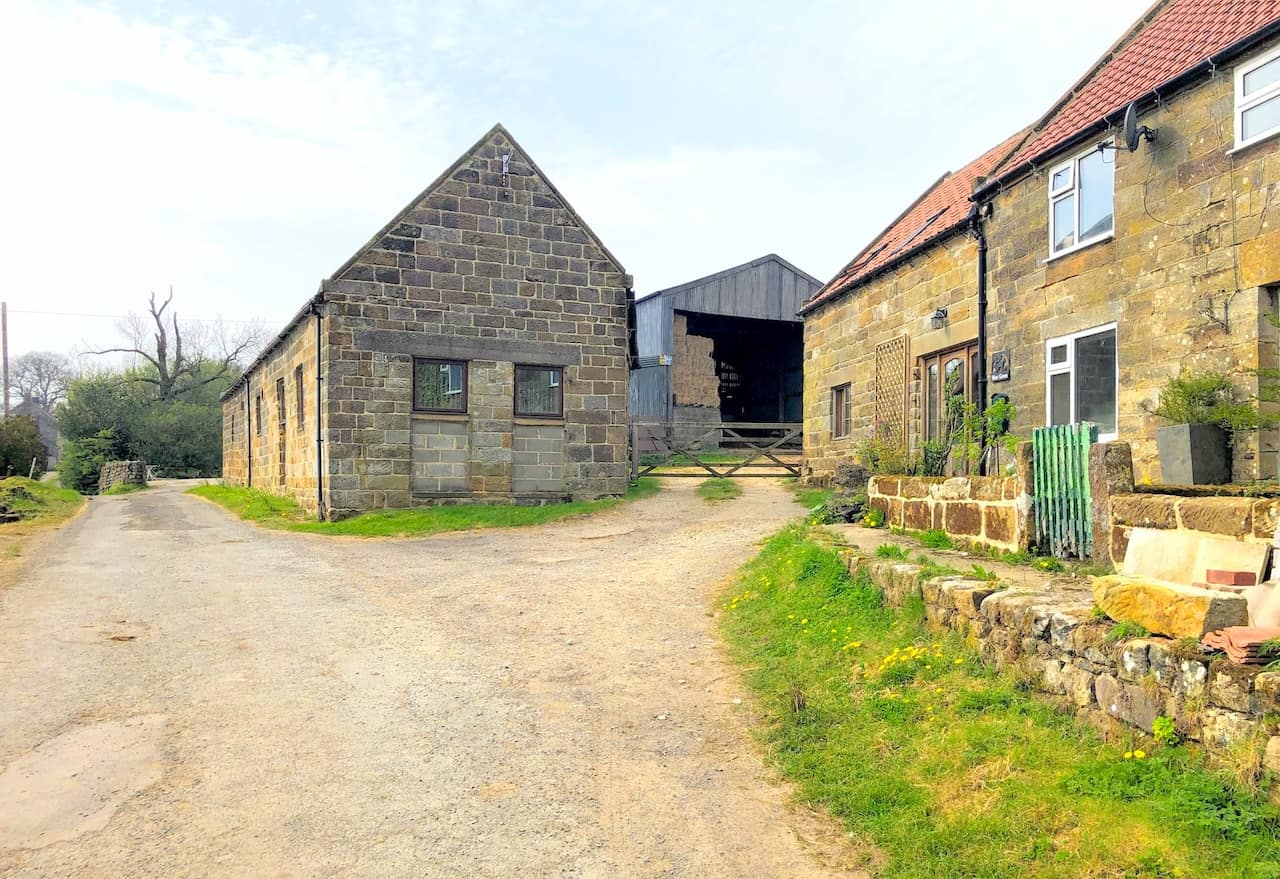
Begin the first leg of your journey by parking in High Castleton, where roadside parking is available on High Street. There is also a car park just off High Street on the minor road called Birk Field Road. From here, join the Esk Valley Walk, heading south-east then south across diverse fields and farmlands. This route will take you past several farms such as Plum Tree Farm and Blackmires, leading you to Honey Bee Nest at Danby Head.
Continue along the Esk Valley Walk, ascending from the valley to the moorland road. Proceed south across the moors until you reach another road, cross it, and then head south-west to encounter yet another road. Here, you will leave the Esk Valley Walk, venturing west across the moors on a trail descending into Westerdale valley’s southern extremity.
For the second section, reconnect with the Esk Valley Walk and navigate north through the valley. This path extends all the way to Hawthorn House, located just west of Westerdale village. Maintain a northerly then easterly direction, still on the Esk Valley Walk, which will lead you back to High Castleton.
It’s important to note that this walk does not encompass the entire 37-mile Esk Valley Walk LDP but rather a 12½-mile segment within the North York Moors, covering two key sections of the route. I’ve written about the LDP further down the page.
Esk Valley Walk: Maps and Tools
Visit either the OS Maps website or the Outdooractive website to view this walking route in greater detail. Both platforms offer a range of features, including the ability to print the route, download it to your device, and export the route as a GPX file. You can also watch a 3D fly-over and share the route on social media.
Esk Valley Walk: Distance, Duration, Statistics
Distance: 12½ miles
Distance: 20 kilometres
Duration: 6 hours
Ascent: 1918 feet
Ascent: 585 metres
Type: Circular walk
About the Esk Valley Walk Long Distance Path (LDP)
Overview of the Esk Valley Walk
The Esk Valley Walk is a long-distance footpath located in North Yorkshire. Initially, it forms a circular loop on the North York Moors, just south of Castleton. Subsequently, it follows the River Esk to its estuary in the North Sea at Whitby. The path is easily identifiable by waymarking that features a leaping salmon symbol, with footpaths marked in yellow and bridleways in blue.
Route Description
Starting from Castleton, the path heads south through Danby Dale to Danby Head. It then ascends out of the valley towards Rosedale Head, passing the Lion Inn on Blakey Ridge. Turning north-west, it crosses High Blakey Moor, skirts Esklets, and descends into Westerdale’s head. It proceeds through the Westerdale valley, returning to Castleton.
The journey then continues eastwards, tracing the River Esk to Whitby. From Castleton, the route passes through Danby Park to Danby village. It includes a visit to the North York Moors Danby Lodge National Park Centre. The path climbs to Danby Beacon, then heads east across Lealholm Moor and south past Lealholm Side into Lealholm village.
Moving south-east, it follows the river past Thorneywaite to Glaisdale. The route then descends to Carr End, weaves through East Arncliffe Wood to Delves, and continues along a road to Egton Bridge. Following a track roughly parallel to the Esk Valley Railway, it skirts north of Grosmont. The path goes through Esk Dale to Sleights, then to Ruswarp, and finally north-east to Whitby. The total length the Esk Valley Walk from Castleton to the North Sea at Whitby is approximately 37 miles.
Recommended Ordnance Survey Map
The best map to use on this walk is the Ordnance Survey map of the North York Moors Western Area, reference OS Explorer OL26, scale 1:25,000. It clearly displays footpaths, rights of way, open access land and vegetation on the ground, making it ideal for walking, running and hiking. The map can be purchased from Amazon in either a standard, paper version or a weatherproof, laminated version, as shown below.
Esk Valley Walk: My Photos
West Green Farm on the Esk Valley Walk in Danby Dale.
West Cliff Farm on the Esk Valley Walk in Danby Dale.
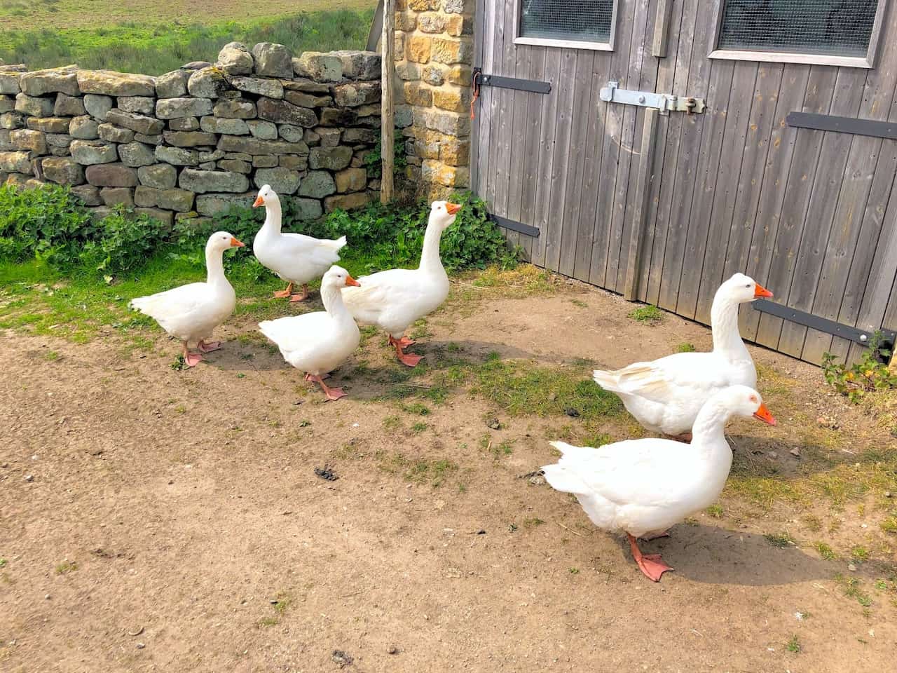
Embden geese at Blackmires.
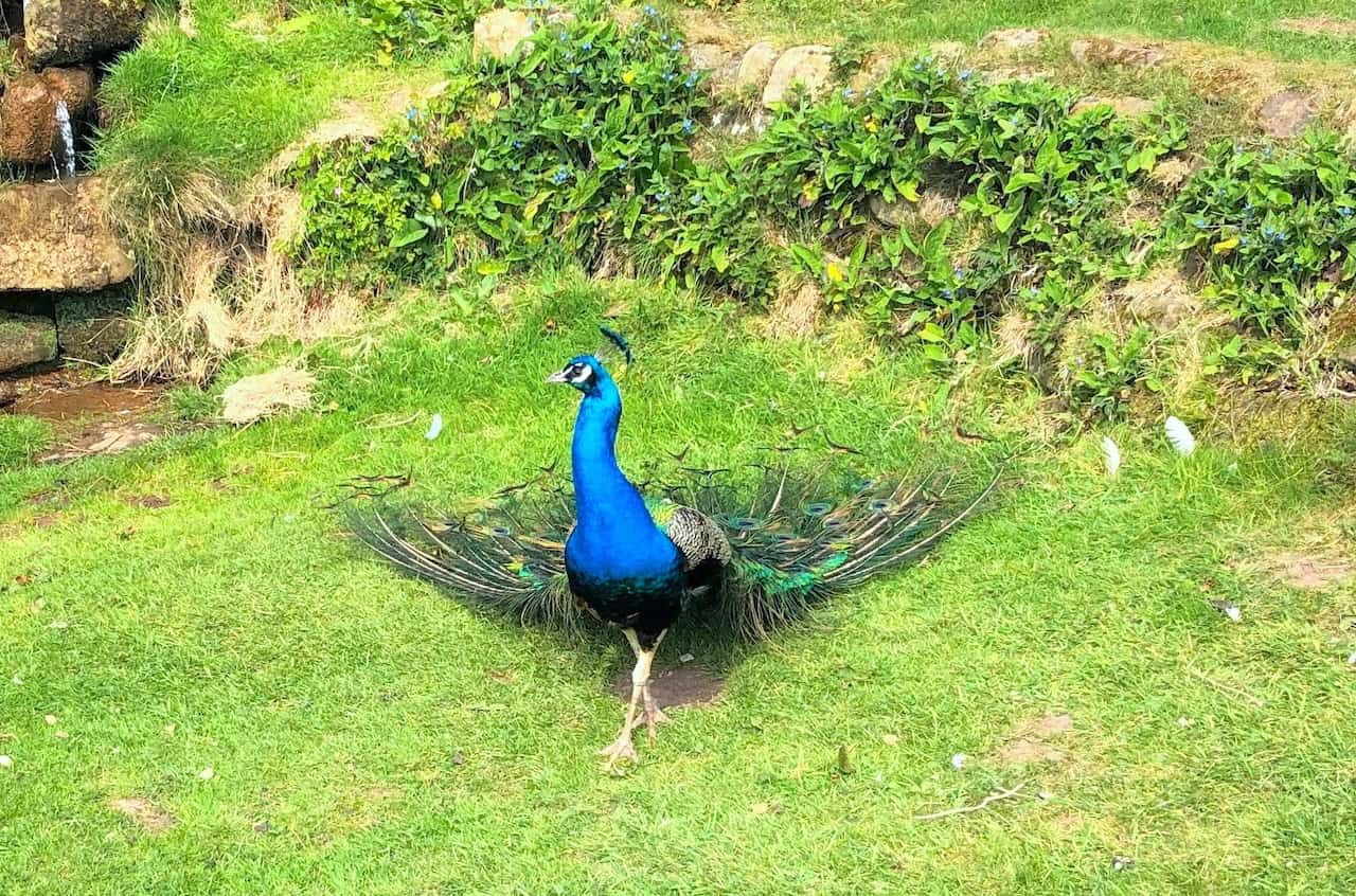
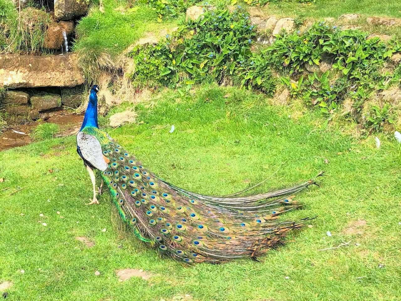
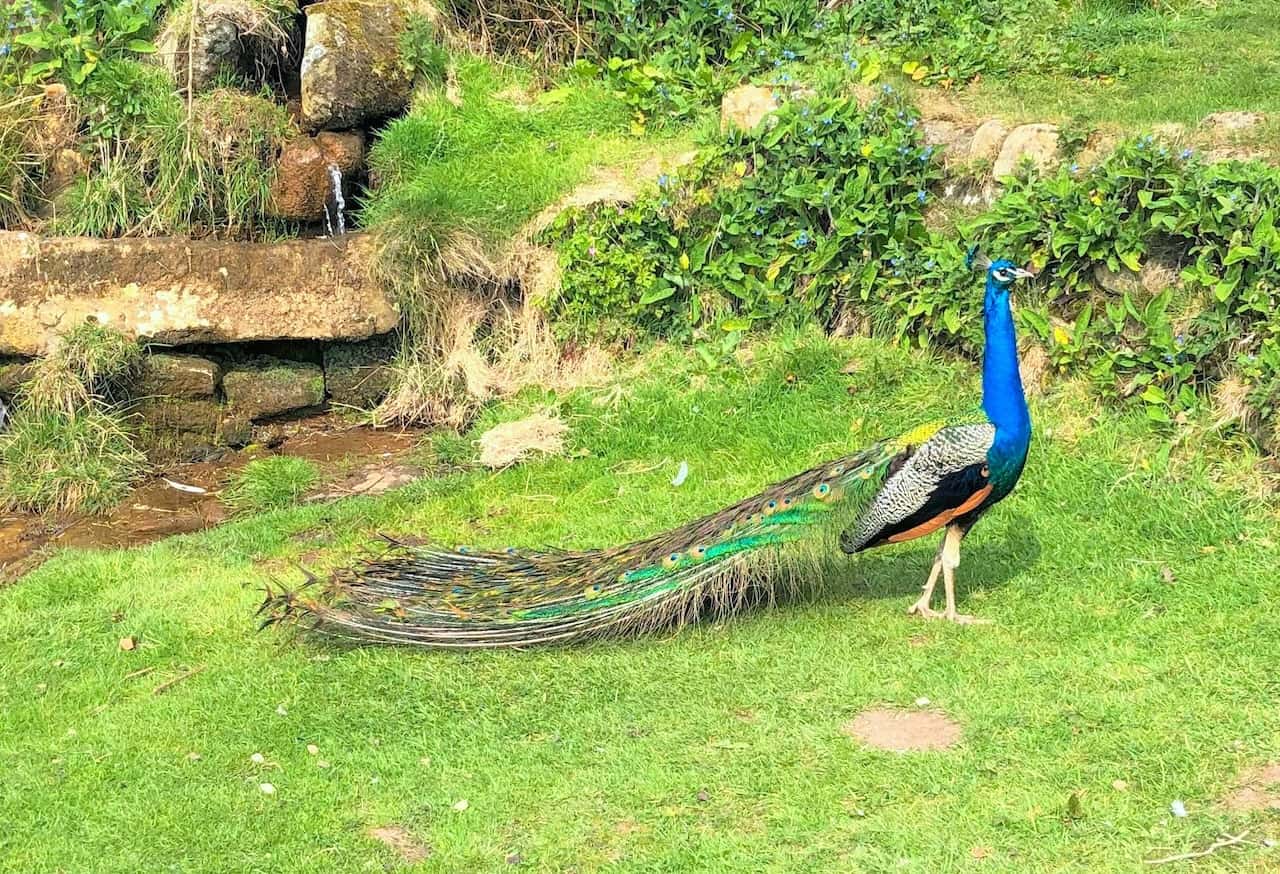
Peacock by the side of the Esk Valley Walk at Blackmires.
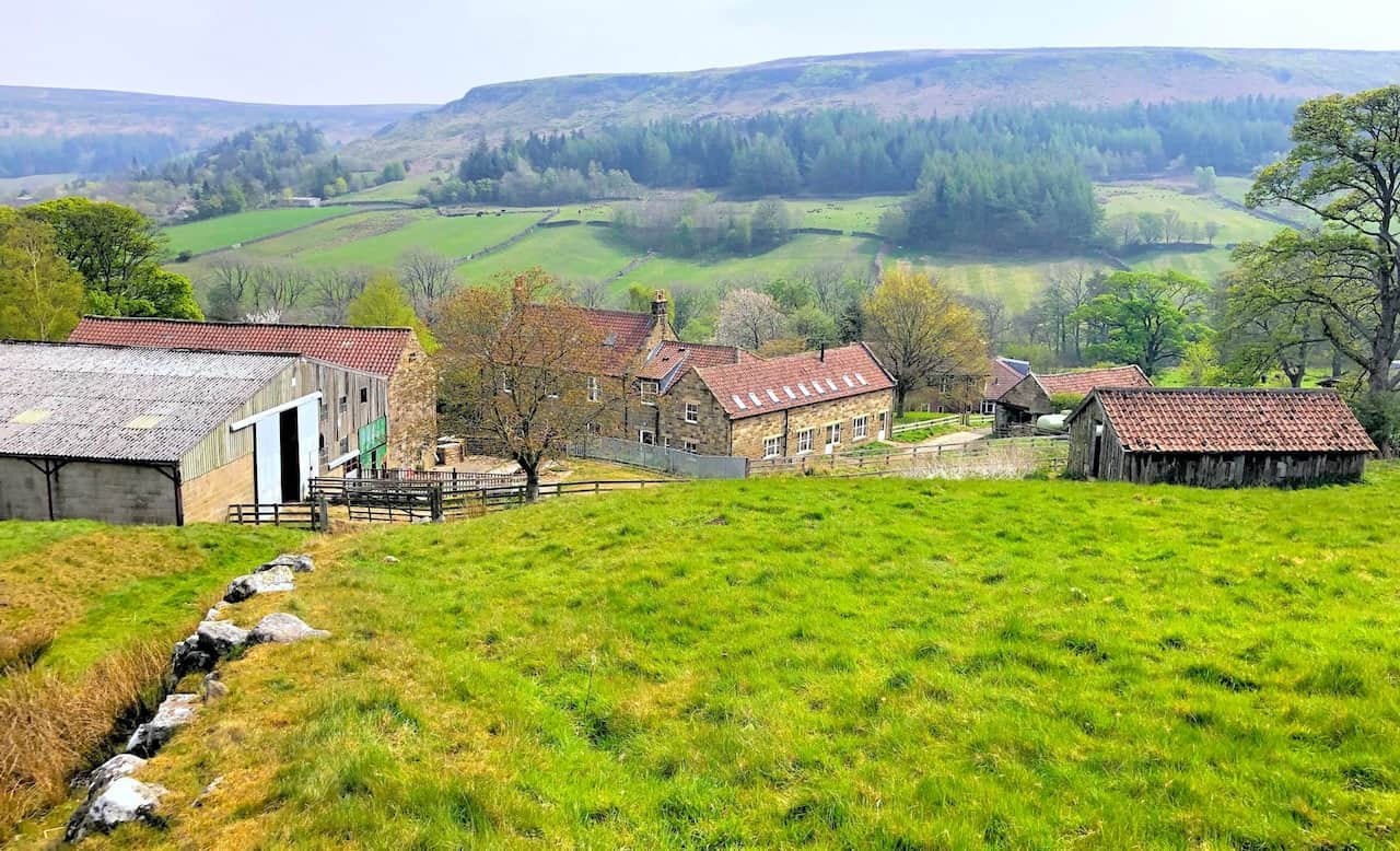
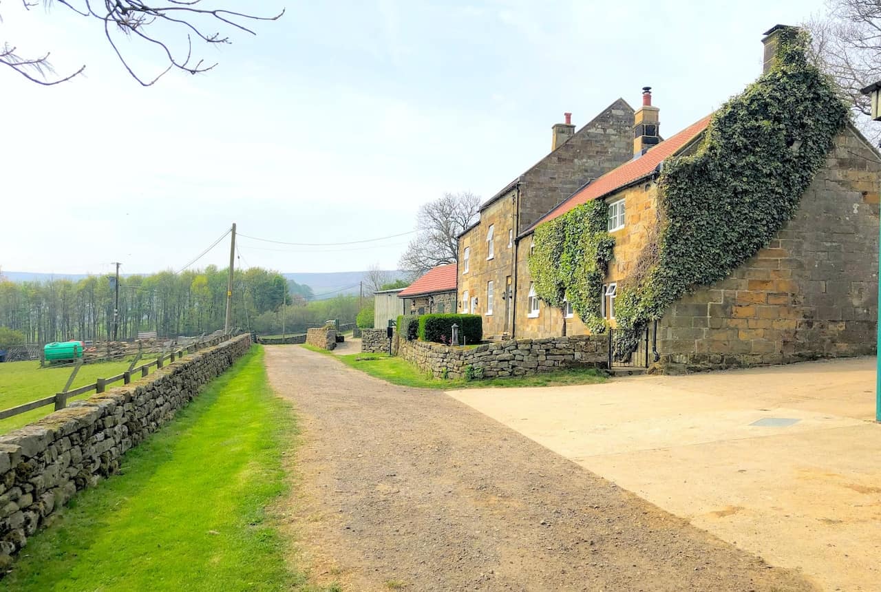
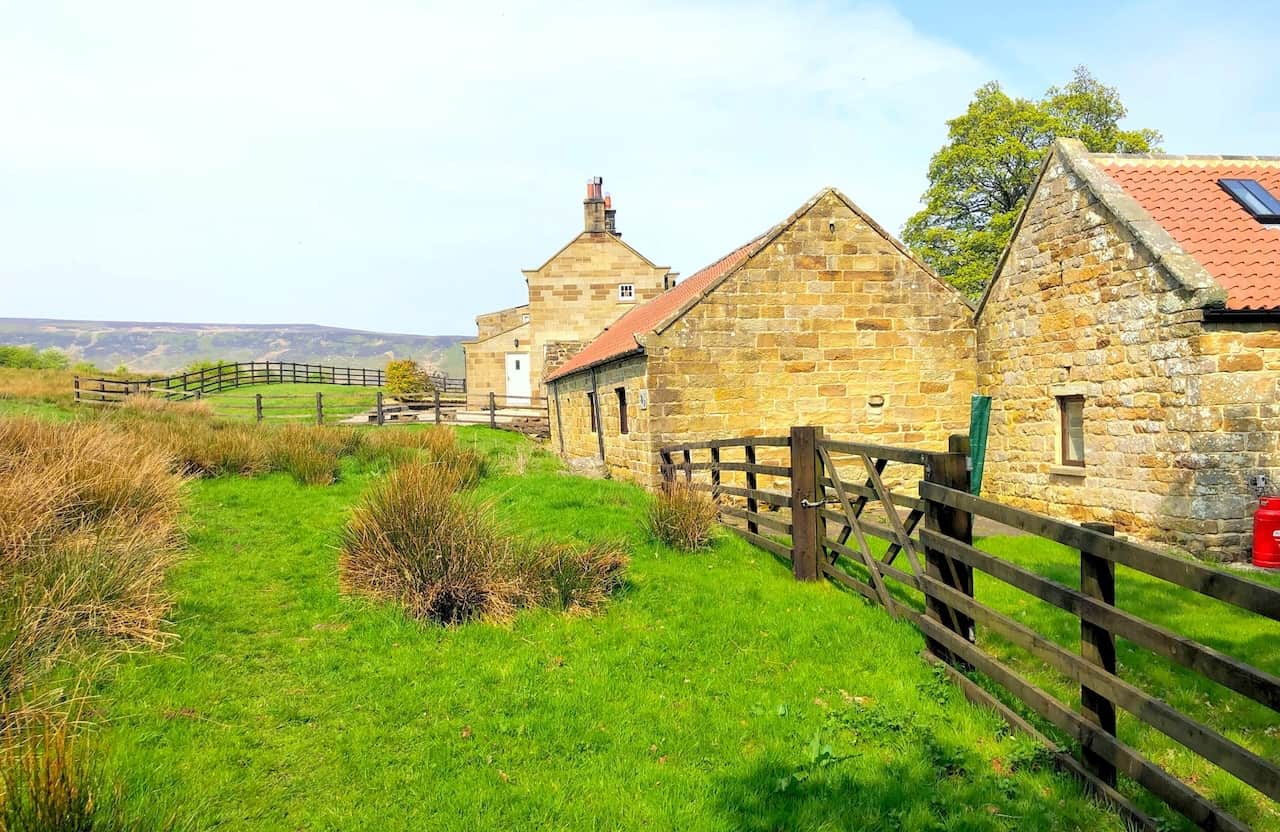
Honey Bee Nest at Danby Head.
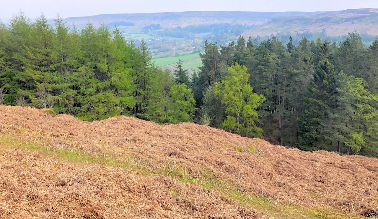
Looking down on Danby Dale from the Esk Valley Walk above Danby Head.
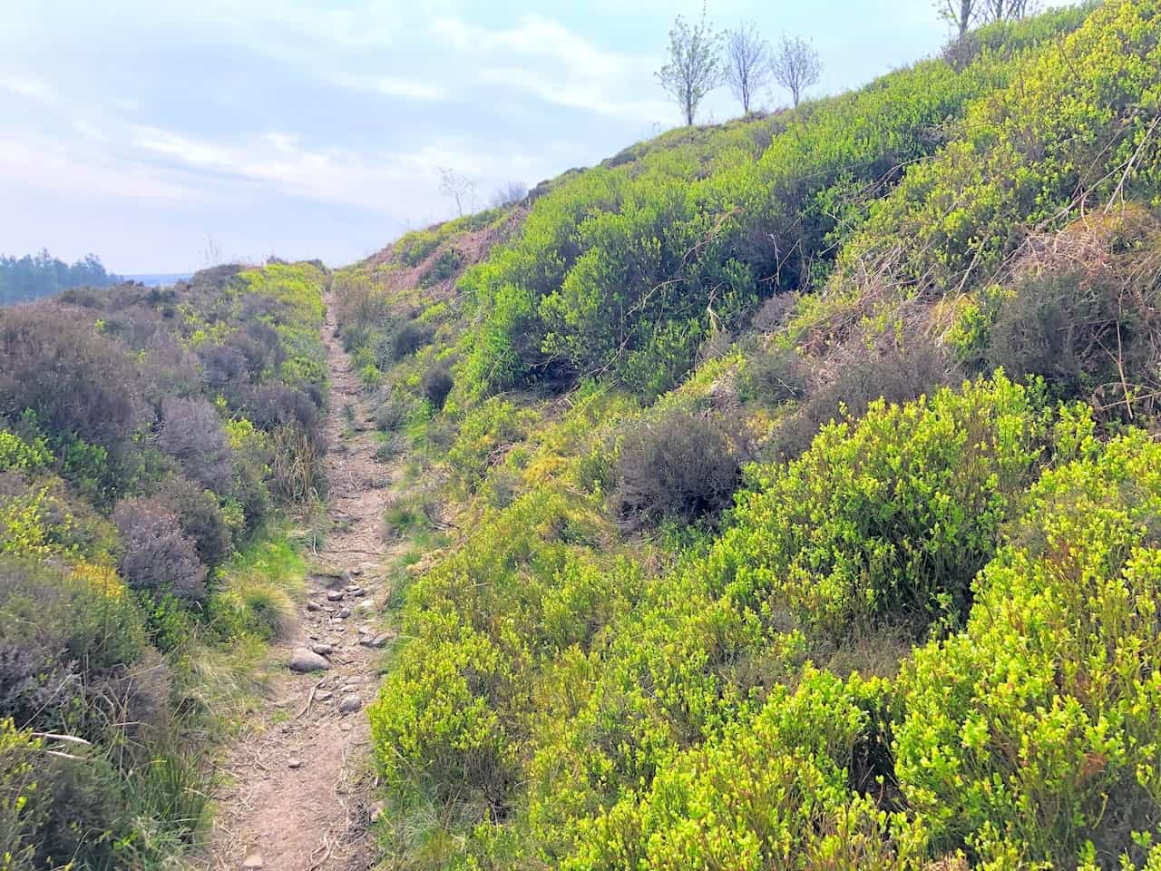
The uphill path out of Danby Dale.
Just visible between the gap in the trees is the village of Botton, situated near the head of Danby Dale. It is one of nine Camphill Village Trust communities across England which provide homes for people with learning disabilities.
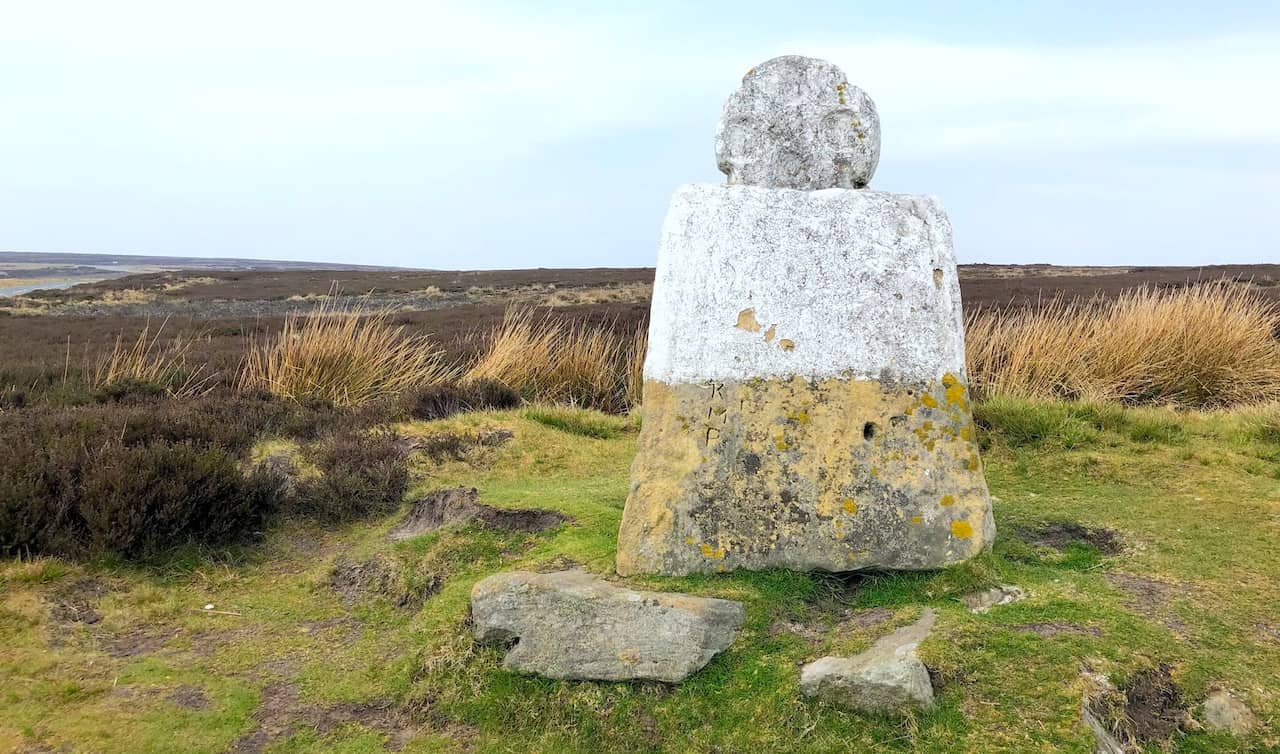
White Cross on Danby High Moor.
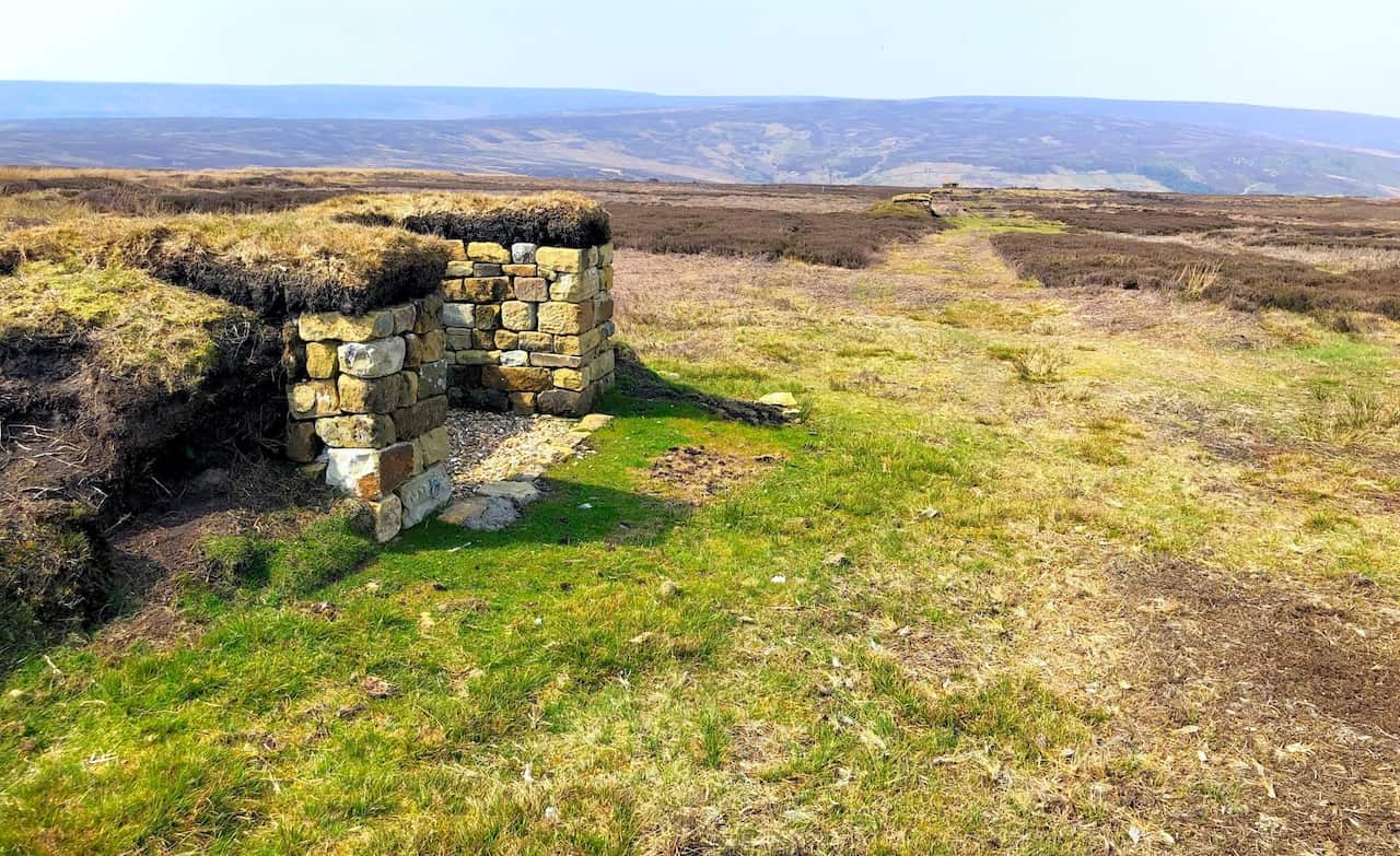
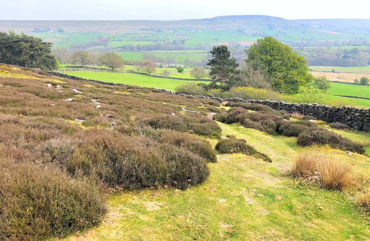
Grouse butts on Westerdale Moor.
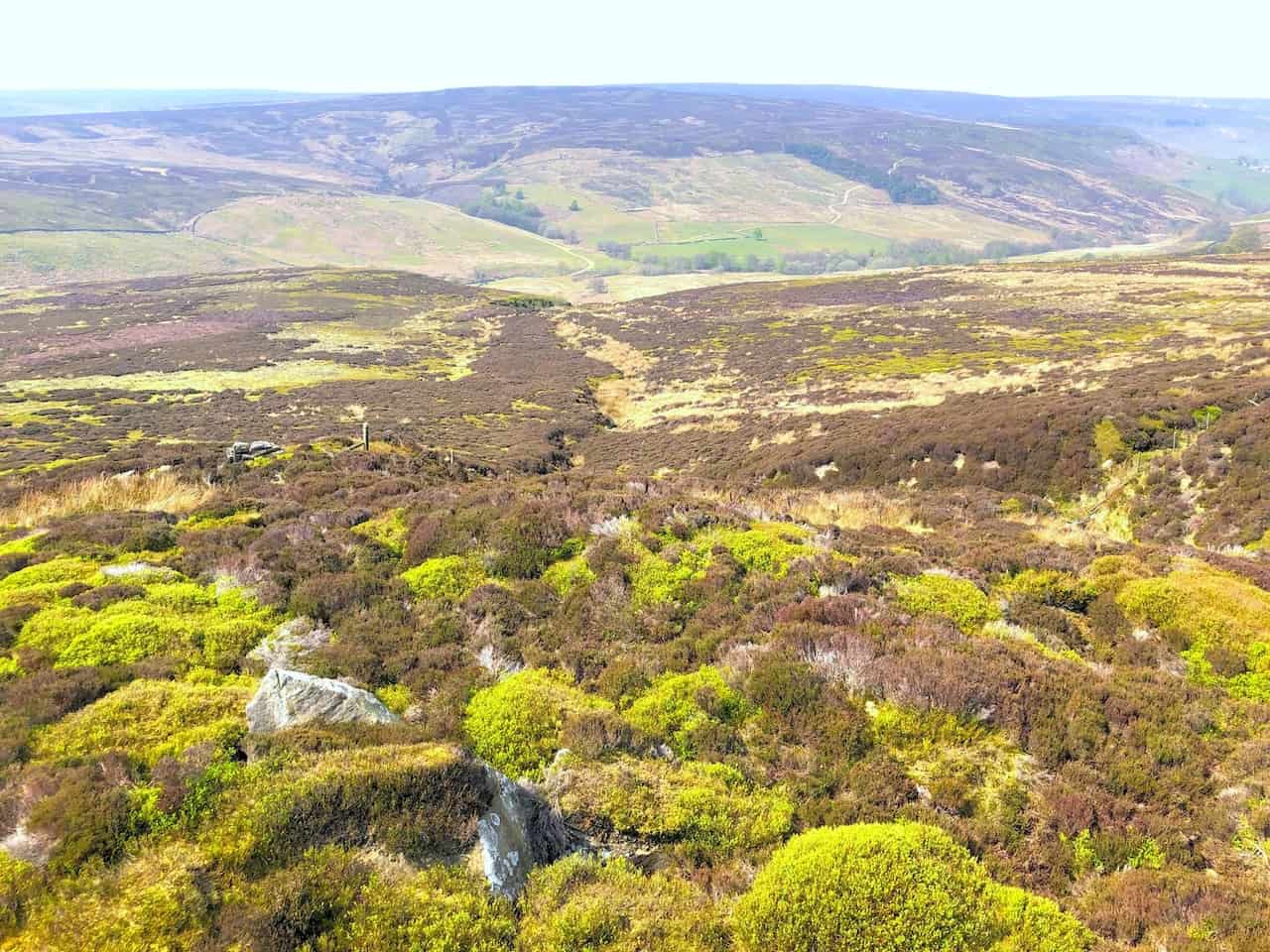
Westerdale Moor, where three streams called the Esklets merge to form the River Esk in the valley below.
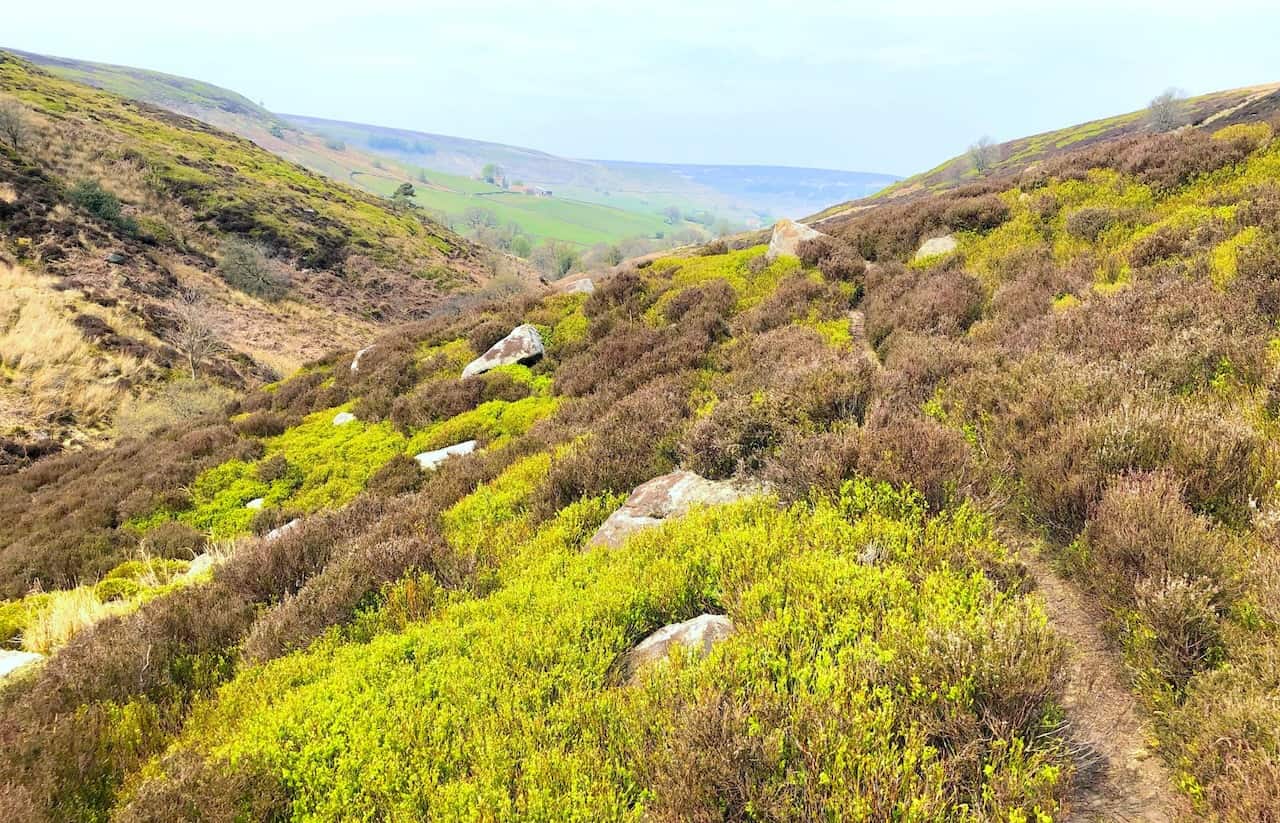
The scenic Westerdale valley.

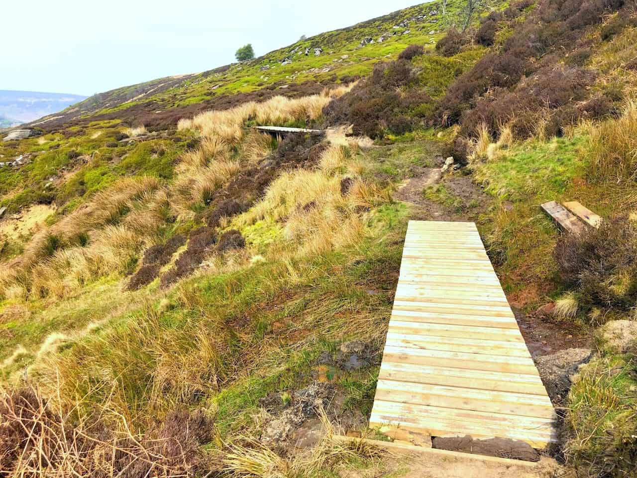
Footbridges across boggy areas on the Esk Valley Walk.
The Esk Vally Walk through Westerdale.
Wood End.
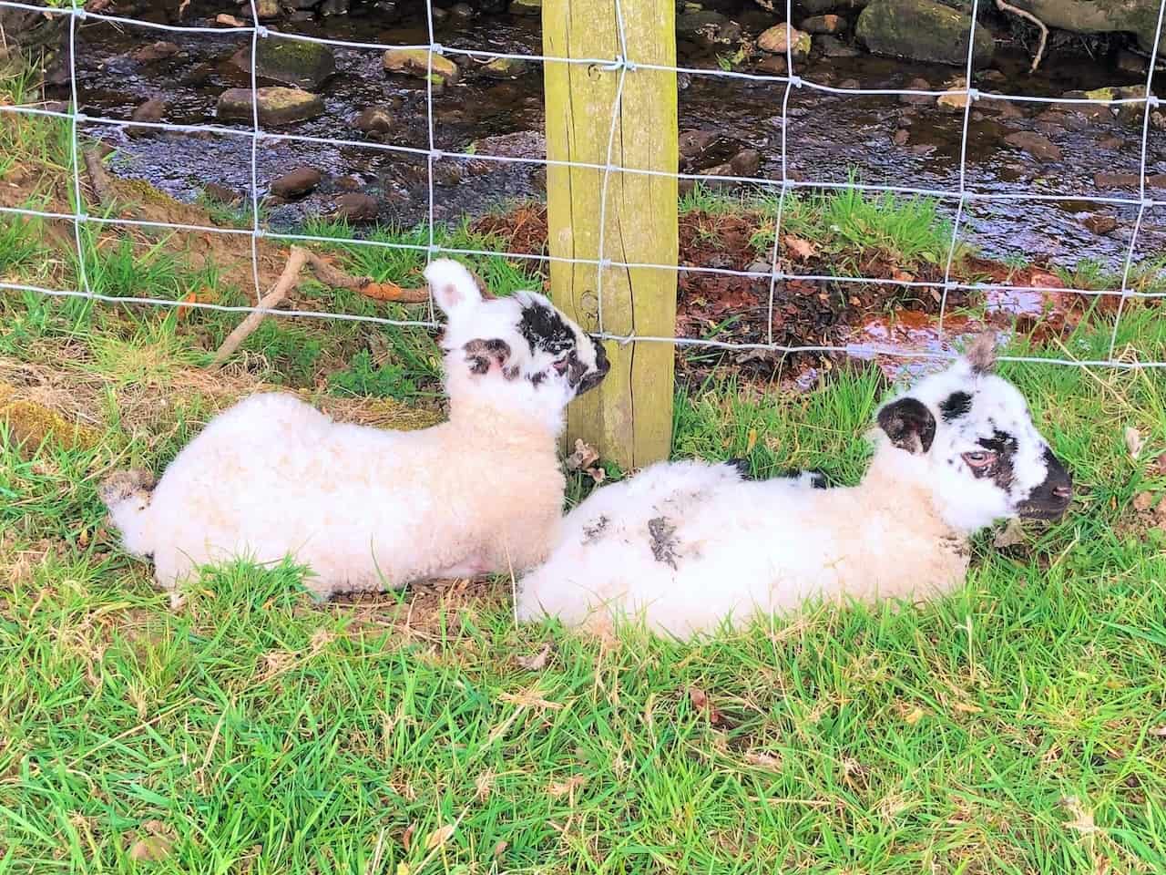
It’s Spring, and the farmers’ fields are full of cute baby lambs.


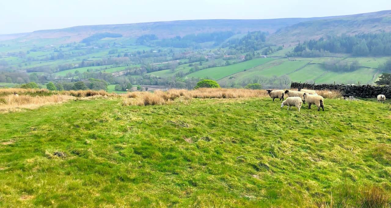
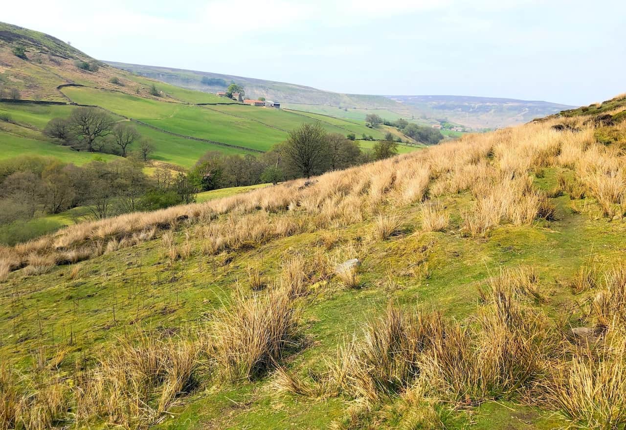
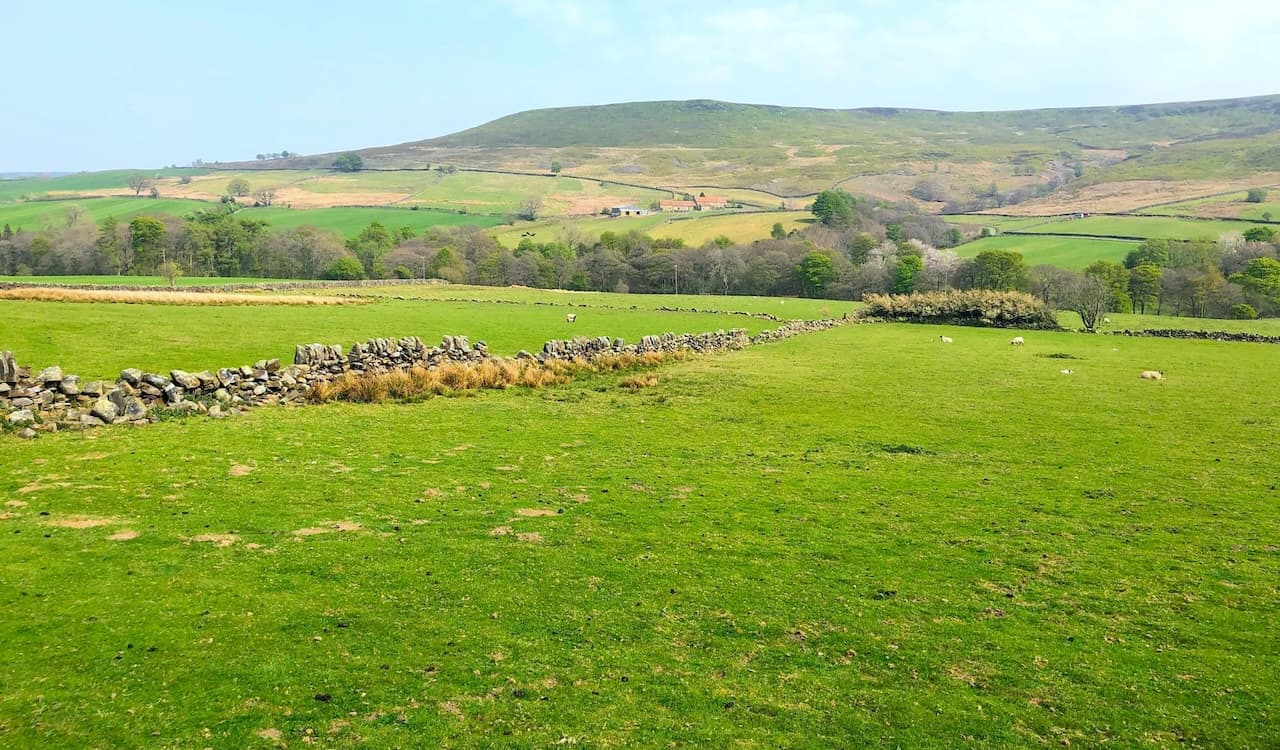
Countryside and farmland in the Westerdale valley.
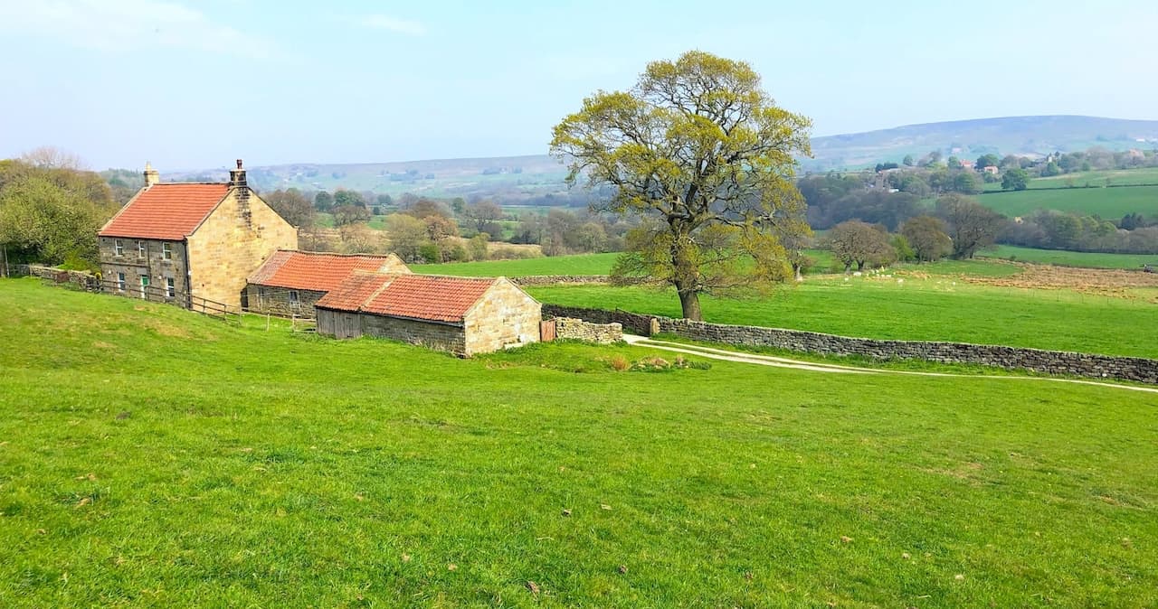
The Esk Valley Walk near Dale View Farm, leading to Dibble Bridge.
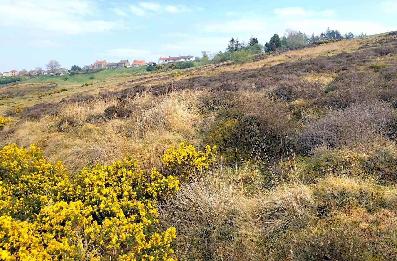
Looking up to the houses of High Castleton near the end of this Esk Valley Walk.
Highly Rated Osprey Hiking Backpacks for Outdoor Enthusiasts
Osprey’s reputation for crafting high-quality hiking backpacks is well-established, offering a range of options that cater to both men and women. The following four backpacks stand out for their excellent sales and customer ratings on Amazon, making them a top choice for outdoor enthusiasts seeking reliability and comfort. As an Amazon affiliate, I may earn a small commission from any purchases made through the links provided. This helps support the upkeep of this website. Rest assured, you won’t pay a penny extra, but your purchase will contribute to keeping my site running smoothly. Happy walking!

Osprey Tempest 20 Women’s Hiking Backpack
The Tempest 20 stands out as the ideal solution for day-hiking, biking, or peak-bagging, tailored specifically for women. It features a panel-loading design for ease of access, complemented by an internal zippered mesh pocket with a key clip for secure storage. Unique to this model are the Stow-on-the-Go trekking pole and LidLock bike helmet attachments, enhancing its versatility. Side stretch mesh pockets, along with an easy-access, expandable stretch mesh harness pocket, offer ample storage. Additionally, it includes a blinker light attachment (light not included) and a large stretch mesh front panel pocket for extra carrying capacity.

Osprey Talon 22 Men’s Hiking Backpack
Designed for the active adventurer, the Talon 22 provides an optimal panel-loading design suitable for day-hiking, biking, or peak-bagging. Key features include dual-zippered panel access to the main compartment and a tuck-away ice ax attachment with a bungee tie-off. It boasts a top panel zippered slash pocket for quick access items and lower side compression straps for load management. An external hydration reservoir sleeve and dual-zippered fabric hipbelt pockets enhance hydration and storage, while a large stretch mesh front panel pocket increases its utility for various activities.

Osprey Tempest 30 Women’s Hiking Backpack
The Tempest 30, designed with a women’s-specific fit, is a streamlined top-loader ideal for both extensive day trips and light-and-fast overnight adventures. It includes a fixed top lid with an external zippered slash pocket and an under-lid zippered mesh pocket with a key clip for organised storage. The pack features a tuck-away ice ax attachment with a bungee tie-off, dual upper and lower side compression straps for load adjustment, and an external hydration reservoir sleeve. For added convenience, it offers an easy-access, expandable stretch mesh harness pocket and dual-zippered fabric hip-belt pockets.

Osprey Talon 33 Men’s Hiking Backpack
The Talon 33 is engineered for dynamic movement, making it the perfect streamlined top-loader for committed day trips or light-and-fast overnight excursions. It features top load access to the main compartment for easy packing and retrieval. The backpack is equipped with a large stretch mesh front panel pocket, Stow-on-the-Go trekking pole attachment, and stretch mesh side pockets for versatile storage options. Additionally, an easy-access, expandable stretch mesh harness pocket and dual-zippered fabric hip-belt pockets offer convenient storage solutions for essential gear.