Experience the Charm of the Farndale Daffodils Walk in the North York Moors
Embark on the Farndale daffodils walk by setting out from the picturesque North York Moors village of Church Houses in Farndale. The most direct route to Church Houses is from the main road traversing Blakey Ridge, turning off just south of the Lion Inn. Find parking at the Church Of St Mary on Mackeridge Lane, slightly east of the village centre.
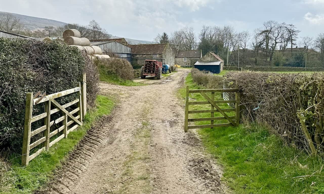
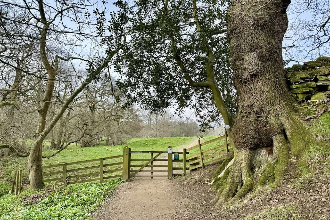
From the church car park, proceed down the lane to the minor road, turning left. Then, ascend eastwards along this tranquil road to Mackeridge House. Here, turn right and follow the public footpath leading to Bragg Farm. Continue through the farm heading south until you reach Bitchagreen. Pass through this farm, following the path south across fields and farmland, where you’ll be rewarded with splendid views of Farndale and the enveloping countryside.
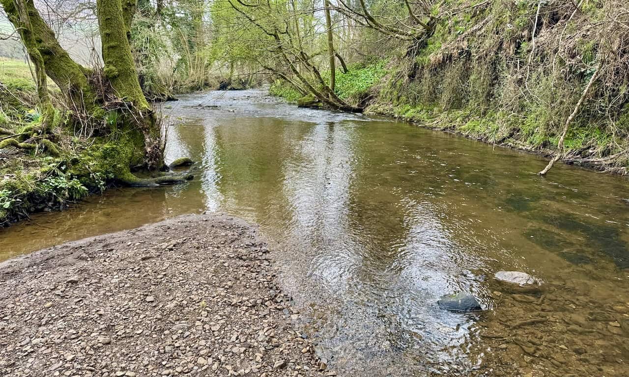
Upon reaching High Wold House, persist along the footpath. Cross a quaint footbridge over a stream, then proceed to another bridge to cross the River Dove, entering the charming village of Low Mill. Here, depending on the season, refreshments might be available, along with a visit to the North York Moors National Park Authority information van in the car park.
After exploring Low Mill, retrace your steps to the River Dove and follow the well-maintained path beside it. Walking north, this path runs parallel to the River Dove, offering a prime vantage point to admire the daffodils blooming in spring.
Continuing northwards, you’ll arrive at High Mill, home to the renowned Daffy Caffy where refreshments await. Proceeding further north, encounter a minor road, Mill Lane, leading directly to the Feversham Arms in Church Houses. Turn right here, and Mackeridge Lane will guide you back to the church car park.
Farndale Daffodils Walk: Maps and Tools
Visit either the OS Maps website or the Outdooractive website to view this walking route in greater detail. Both platforms offer a range of features, including the ability to print the route, download it to your device, and export the route as a GPX file. You can also watch a 3D fly-over and share the route on social media.
Farndale Daffodils Walk: Distance, Duration, Statistics
Distance: 4 miles
Distance: 6¼ kilometres
Duration: 1¾ hours
Ascent: 369 feet
Ascent: 112 metres
Type: Circular walk
About Farndale
Farndale, a valley in North Yorkshire, is celebrated for its springtime daffodils along the River Dove. This dale, bordered by wild moorland, lies between Bransdale to the west, Rosedale to the east, and Westerdale to the north. Blakey Ridge, to the north-east, rises over 400 metres above sea level, while Cockayne Ridge to the north-west ascends to 454 metres, marking some of the North York Moors’ highest points. The southern edge of Farndale is bordered by the Gillamoor to Hutton-le-Hole road. South of this road, the dale extends as Douthwaitedale towards Keldhome and Kirkby Mills near Kirkbymoorside.
The community in Farndale is sparse and agricultural, framed by traditional Yorkshire dry stone walls. It attracts walkers, especially in spring when wild daffodils bloom along the River Dove. To preserve these flowers, a section of Farndale north of Lowna was designated as a local nature reserve in 1955. Church Houses and Low Mill are Farndale’s two villages, with Low Mill becoming a focal point for tourists during the daffodil season due to the famous Farndale daffodils walk.
The River Dove originates on Westerdale Moor, north of Farndale, and flows south-east past Church Houses. It meanders south past Low Mill to Lowna, veers south-east by Gillamoor and Hutton-le-Hole, then heads south again past Ravenswick and east of Kirkbymoorside. Beyond Keldholme and Kirkby Mills, it journeys to Great Edstone, finally joining the River Rye near Salton in the Vale of Pickering. Several tributaries join the River Dove throughout Farndale.
Recommended Ordnance Survey Map
The best map to use on this walk is the Ordnance Survey map of the North York Moors Western Area, reference OS Explorer OL26, scale 1:25,000. It clearly displays footpaths, rights of way, open access land and vegetation on the ground, making it ideal for walking, running and hiking. The map can be purchased from Amazon in either a standard, paper version or a weatherproof, laminated version, as shown below.
Farndale Daffodils Walk: My Photos
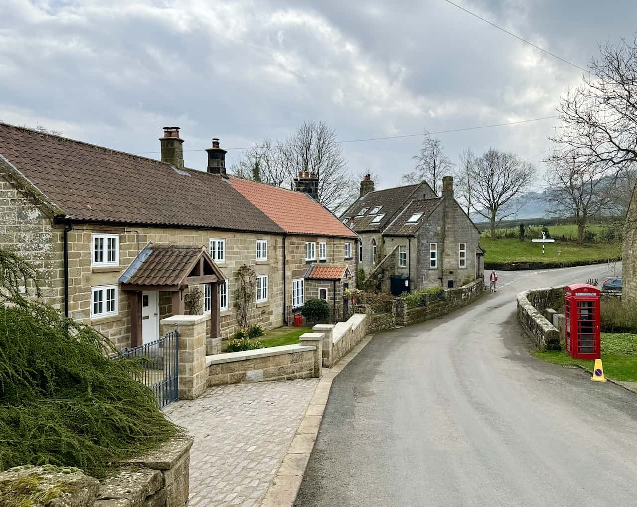
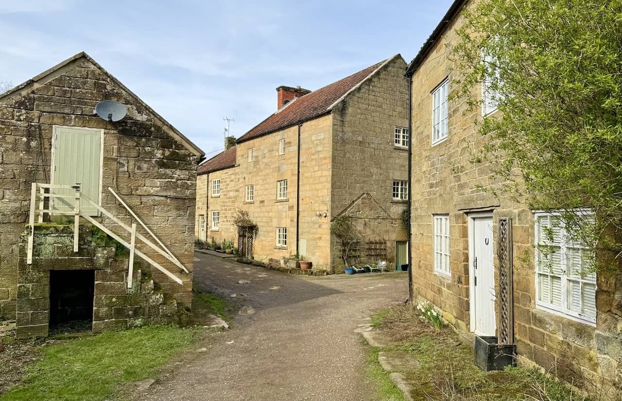
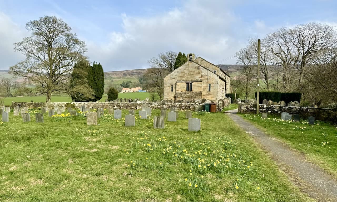
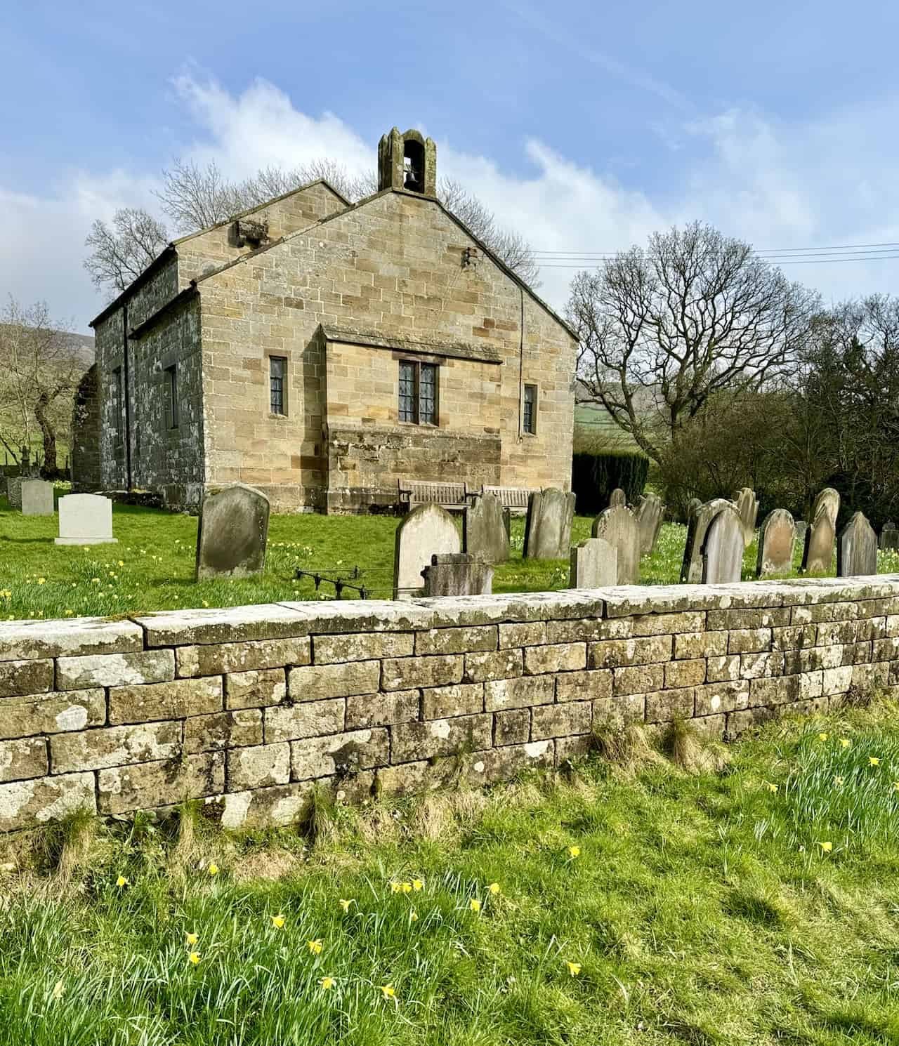
St Mary’s Church on Mackeridge Lane in Church Houses serves as an excellent starting point for the Farndale daffodils walk.
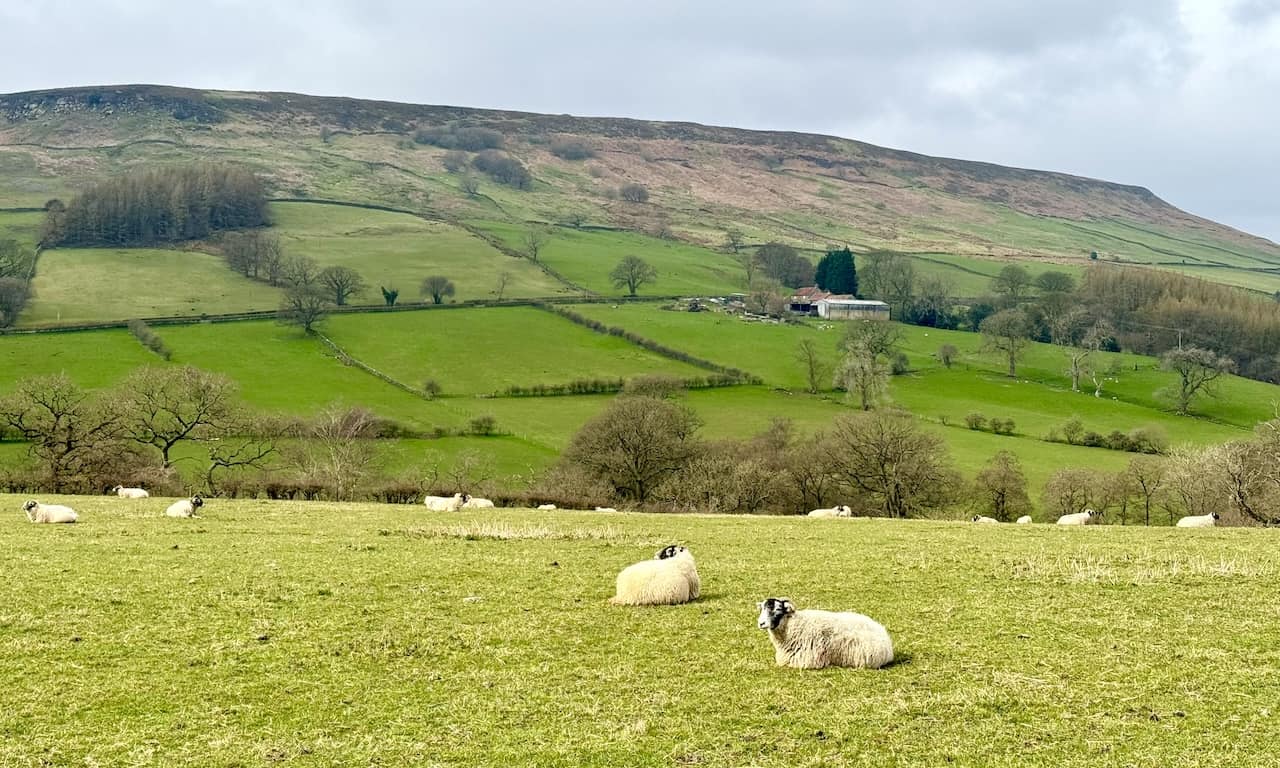
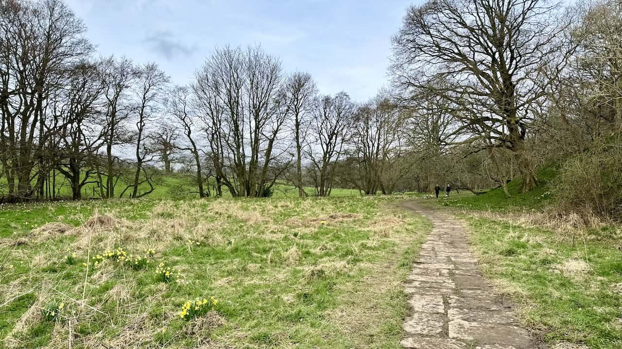
The view to the west from the path that stretches between Bitchagreen and High Wold House captures the beauty of Horn Ridge, situated on the Farndale valley’s western flank.
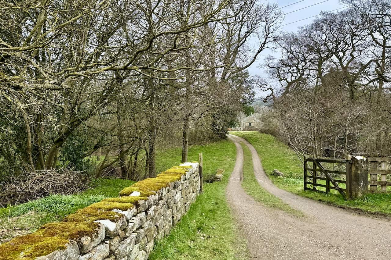
The track leading to High Wold House is a notable feature encountered on the Farndale daffodils walk.
A footbridge crosses a small stream between High Wold House and Low Mill, adding charm to the route.
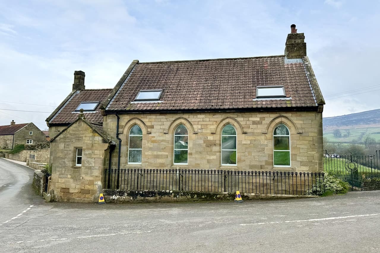
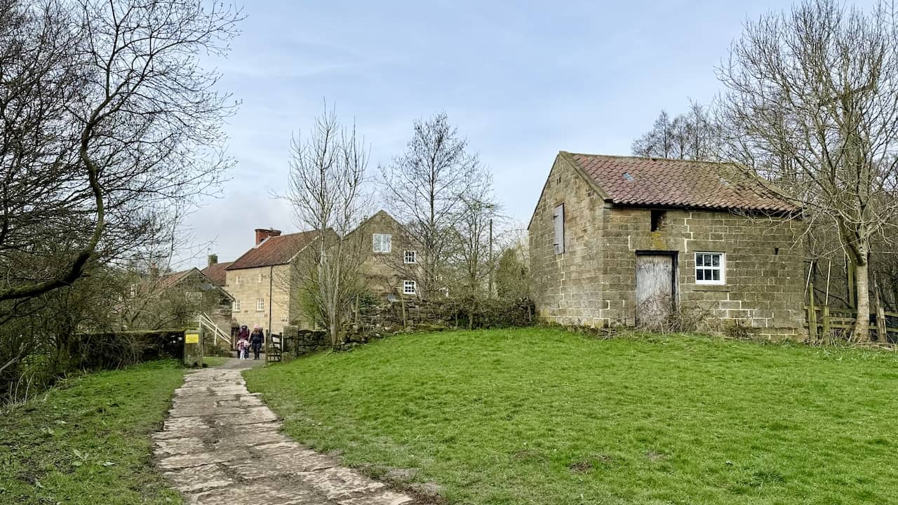
The Old Chapel in Low Mill, Farndale, has been transformed into a significant four-bedroom residential property.
Low Mill in Farndale becomes particularly busy as tourists flock to the area, drawn by the renowned Farndale daffodils. This picturesque location turns into a prime attraction, with the daffodils’ mass blooming captivating visitors from across the region.
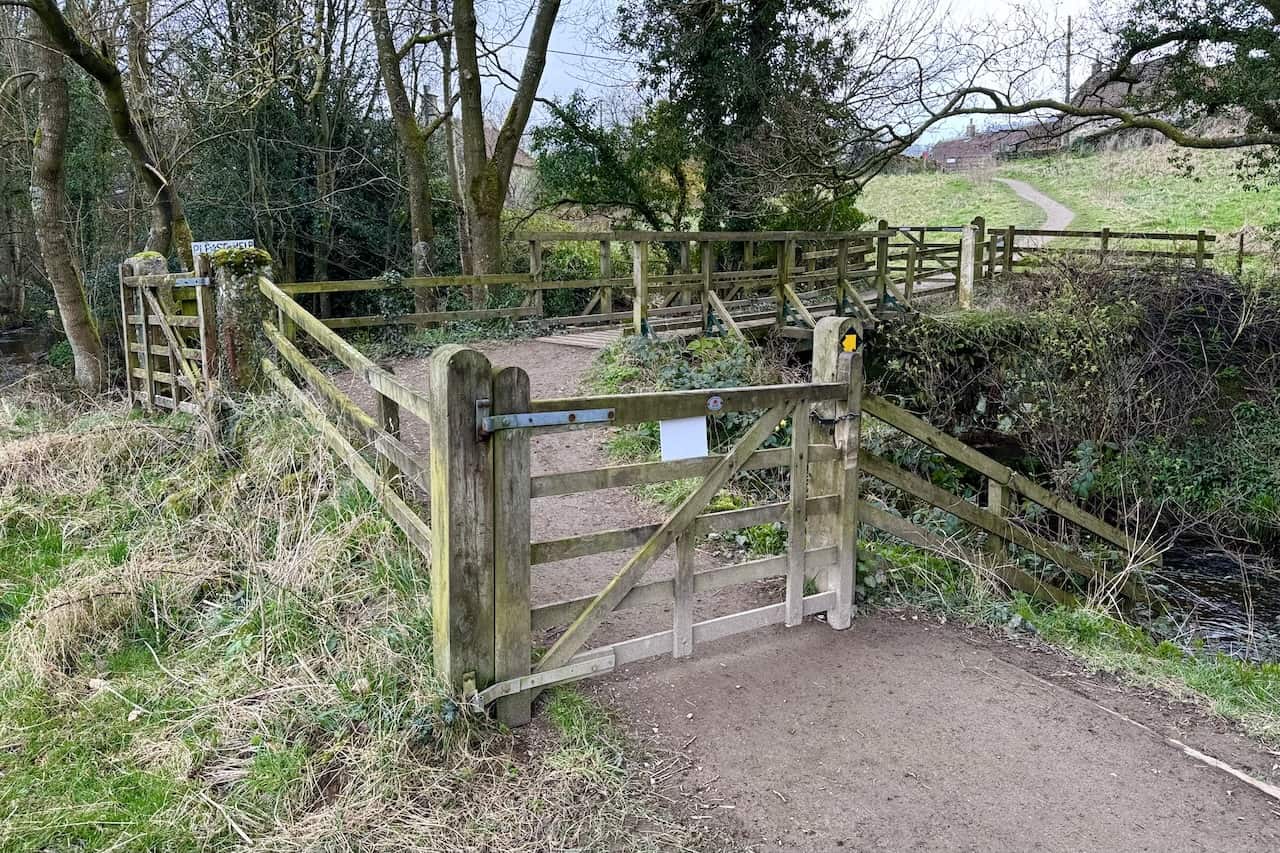
A footbridge over the River Dove in Low Mill facilitates the thousands who opt for the linear version of the Farndale daffodils walk starting from Low Mill.
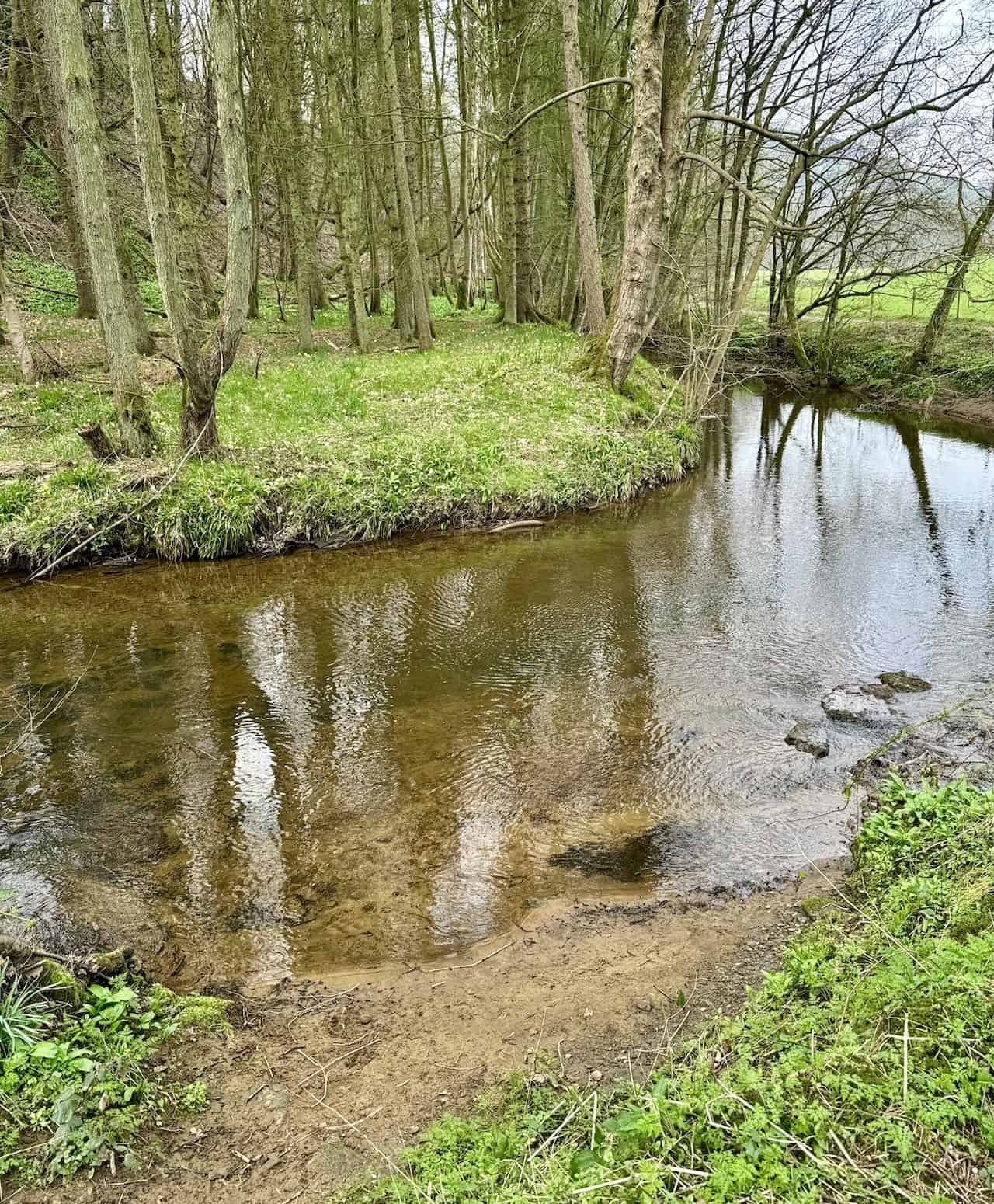
The River Dove, meandering through the Farndale valley near Low Mill, flows southwards to merge with the River Rye, which then joins the River Derwent.
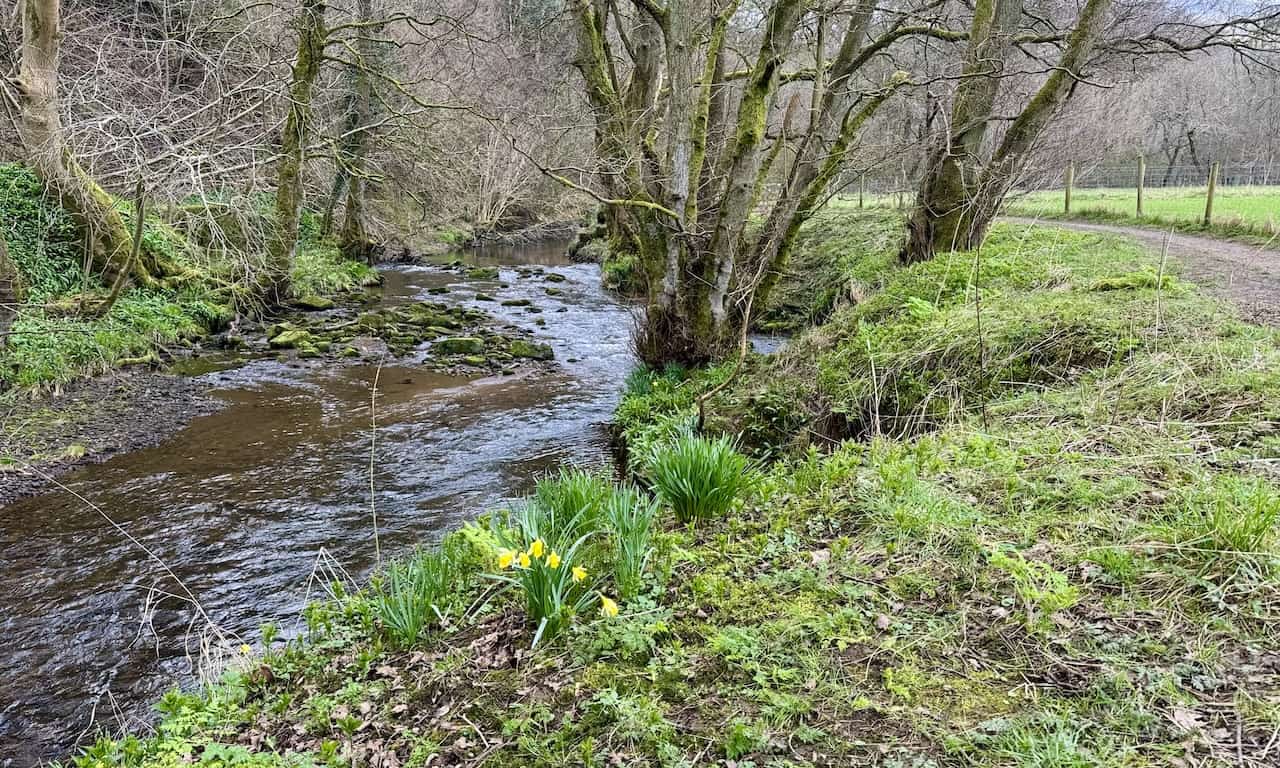
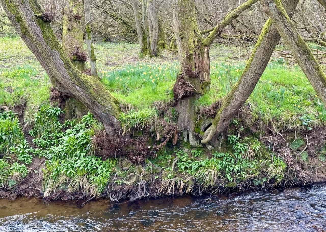
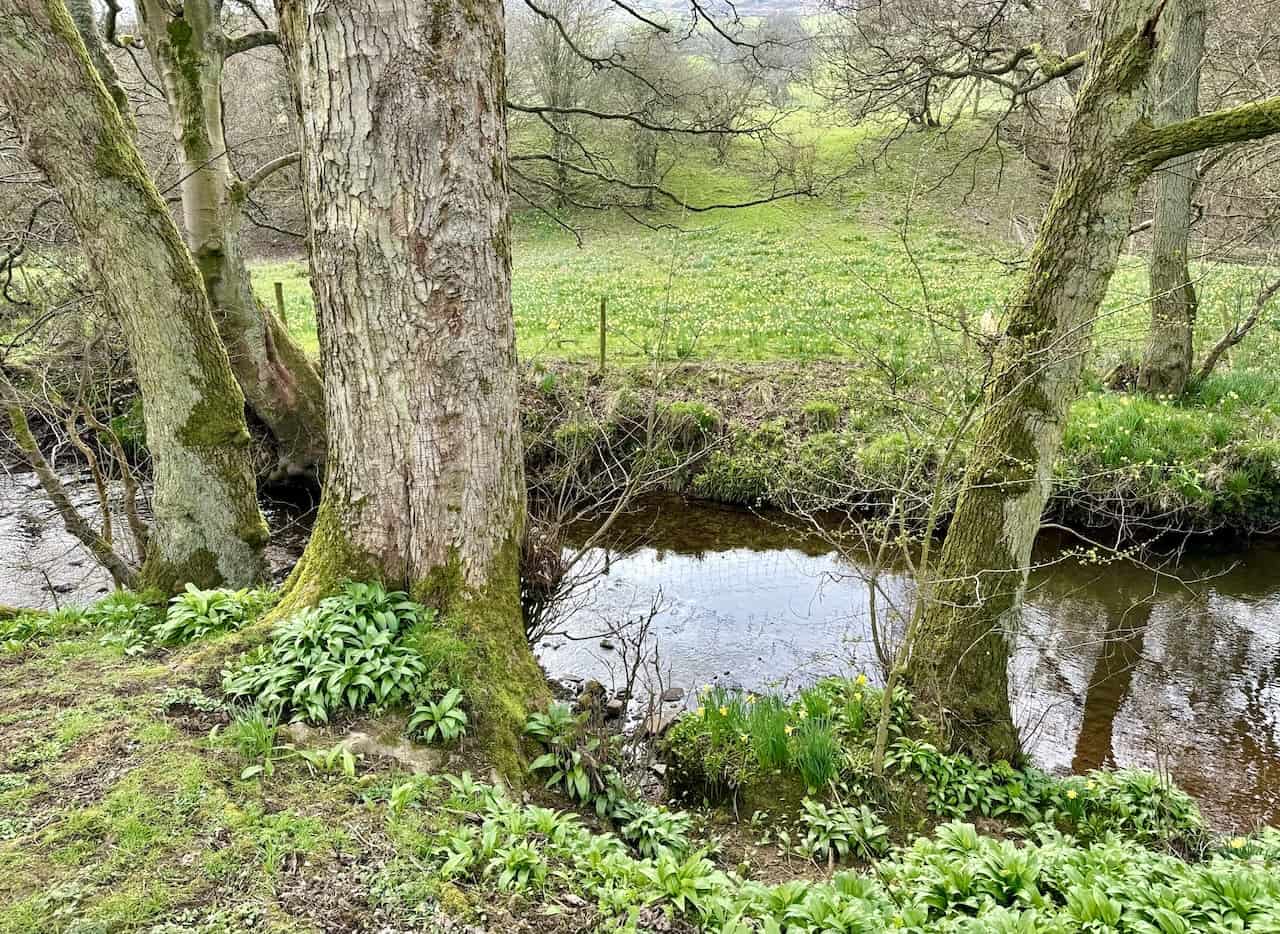
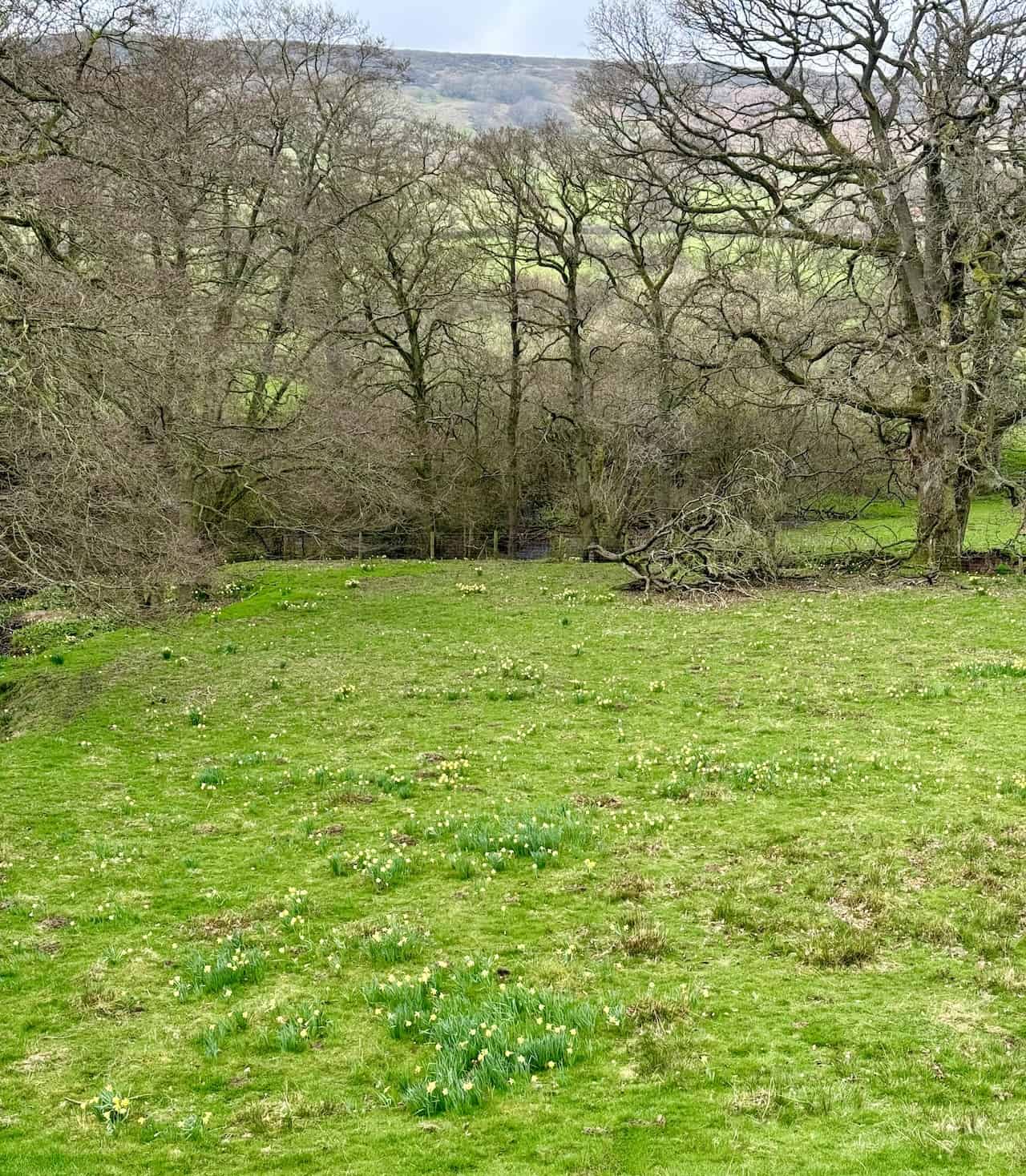
On the western bank of the River Dove, daffodils flourish, their origins steeped in legend. Although some tales attribute their planting to monks from Rievaulx Abbey in medieval times, it is more plausible that these daffodils are a natural phenomenon, thriving due to the valley’s isolation and unique environmental conditions.
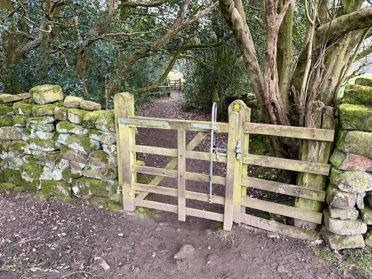
The pathway alongside the River Dove, connecting Low Mill and Church Houses, is predominantly flat and accessible, accommodating pushchairs and wheelchairs. Although several gates along the path require opening and closing, they present minor obstacles, making for an easy and inclusive journey.
The profusion of daffodils each spring in Farndale is the result of dedicated conservation efforts by the North York Moors National Park Authority and local volunteers. Visitors are urged to stay on the paths and avoid picking the flowers or disturbing the habitat, helping preserve this delicate ecosystem for future generations.
The northern entry to High Mill, a former water-powered corn mill, introduces a touch of historical intrigue.
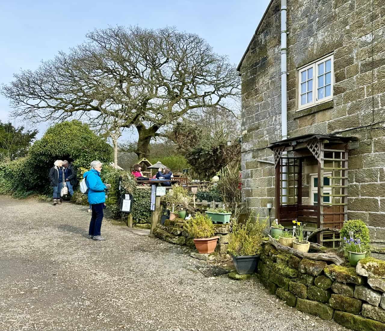
The Daffy Caffy at High Mill offers a delightful stop for refreshments during the Farndale daffodils walk.
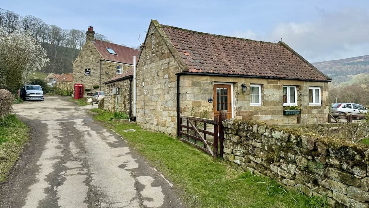
Mill Lane leads to the Feversham Arms in Church Houses, marking a picturesque route.
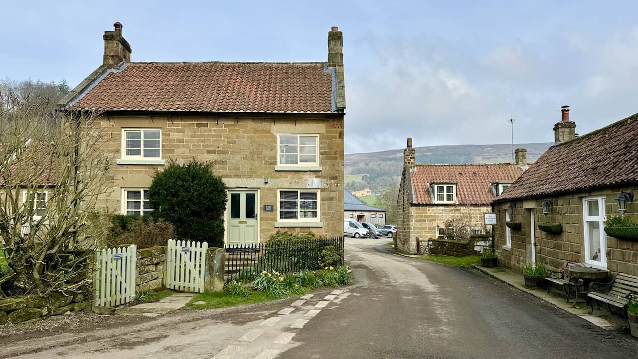
The quaint village of Church Houses provides a charming conclusion to the Farndale daffodils walk.
St. Mary’s Church and its churchyard on Mackeridge Lane, Church Houses, Farndale, boast historical significance, being a Grade II listed building since 13 July 1955.
Highly Rated Osprey Hiking Backpacks for Outdoor Enthusiasts
Osprey’s reputation for crafting high-quality hiking backpacks is well-established, offering a range of options that cater to both men and women. The following four backpacks stand out for their excellent sales and customer ratings on Amazon, making them a top choice for outdoor enthusiasts seeking reliability and comfort. As an Amazon affiliate, I may earn a small commission from any purchases made through the links provided. This helps support the upkeep of this website. Rest assured, you won’t pay a penny extra, but your purchase will contribute to keeping my site running smoothly. Happy walking!

Osprey Tempest 20 Women’s Hiking Backpack
The Tempest 20 stands out as the ideal solution for day-hiking, biking, or peak-bagging, tailored specifically for women. It features a panel-loading design for ease of access, complemented by an internal zippered mesh pocket with a key clip for secure storage. Unique to this model are the Stow-on-the-Go trekking pole and LidLock bike helmet attachments, enhancing its versatility. Side stretch mesh pockets, along with an easy-access, expandable stretch mesh harness pocket, offer ample storage. Additionally, it includes a blinker light attachment (light not included) and a large stretch mesh front panel pocket for extra carrying capacity.

Osprey Talon 22 Men’s Hiking Backpack
Designed for the active adventurer, the Talon 22 provides an optimal panel-loading design suitable for day-hiking, biking, or peak-bagging. Key features include dual-zippered panel access to the main compartment and a tuck-away ice ax attachment with a bungee tie-off. It boasts a top panel zippered slash pocket for quick access items and lower side compression straps for load management. An external hydration reservoir sleeve and dual-zippered fabric hipbelt pockets enhance hydration and storage, while a large stretch mesh front panel pocket increases its utility for various activities.

Osprey Tempest 30 Women’s Hiking Backpack
The Tempest 30, designed with a women’s-specific fit, is a streamlined top-loader ideal for both extensive day trips and light-and-fast overnight adventures. It includes a fixed top lid with an external zippered slash pocket and an under-lid zippered mesh pocket with a key clip for organised storage. The pack features a tuck-away ice ax attachment with a bungee tie-off, dual upper and lower side compression straps for load adjustment, and an external hydration reservoir sleeve. For added convenience, it offers an easy-access, expandable stretch mesh harness pocket and dual-zippered fabric hip-belt pockets.

Osprey Talon 33 Men’s Hiking Backpack
The Talon 33 is engineered for dynamic movement, making it the perfect streamlined top-loader for committed day trips or light-and-fast overnight excursions. It features top load access to the main compartment for easy packing and retrieval. The backpack is equipped with a large stretch mesh front panel pocket, Stow-on-the-Go trekking pole attachment, and stretch mesh side pockets for versatile storage options. Additionally, an easy-access, expandable stretch mesh harness pocket and dual-zippered fabric hip-belt pockets offer convenient storage solutions for essential gear.