South from Beggar’s Bridge in Glaisdale to meet Smith’s Lane, then south-west to Wintergill Plantation. East across Egton High Moor to Wheeldale Road, before continuing across In Moor and dropping down into the Murk Esk valley. North along the dismantled railway line to Grosmont, and finally west through Egton Bridge and East Arnecliff Wood to the starting point. A 13-mile walk in the North York Moors.
Recommended Ordnance Survey Map
The best map to use on this walk is the Ordnance Survey map of the North York Moors Eastern Area, reference OS Explorer OL27, scale 1:25,000. It clearly displays footpaths, rights of way, open access land and vegetation on the ground, making it ideal for walking, running and hiking. The map can be purchased from Amazon in either a standard, paper version or a weatherproof, laminated version, as shown below.
Wintergill Plantation as seen from Smith’s Lane on Egton High Moor. A beautiful array of colours.


The track across Egton High Moor between Smith’s Lane and Wheeldale Road.

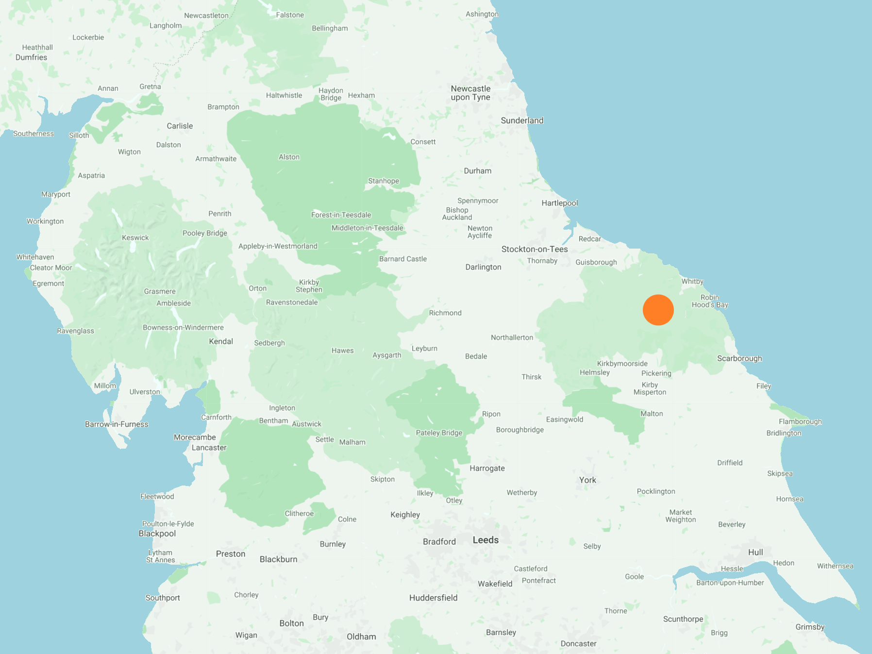
The view north-east towards Whitby from Egton High Moor.

The view north towards Egton from Wheeldale Road (an old Roman road) on Murk Mire Moor. Lovely colours as the heather begins to flower.

Waiting for Lynn to catch up before dropping down into the Murk Esk valley.

The Rail Trail between Goathland and Grosmont, a three-and-a-half mile route along a section of the old Whitby to Pickering railway line.

The Murk Esk.

Footbridge across the Murk Esk. The stone supports would originally have carried the Goathland to Grosmont railway line.

Railway cottages by the side of the Rail Trail about half a mile south of Grosmont.

The view of Grosmont from a popular hill just south of the village.

The Old School Coffee Shop in Grosmont.

The picturesque railway station at Grosmont.


Grosmont Co-operative Society Ltd, Britain’s oldest independent co-op established in 1867.

The River Esk in Egton Bridge.

Stepping stones over the River Esk in Egton Bridge.


The view north-east from Delves Lane towards the village of Egton, which can just be seen on the horizon.

There’s something hiding in the undergrowth. Can you see what it is?

The River Esk viewed from the Esk Valley Walk in East Arnecliff Wood.


Beggar’s Bridge
Beggar’s Bridge is a survivor from a time when horse-power and walking were the main modes of transport. It is a ‘packhorse’ bridge, designed with a low parapet to allow horses with fully laden panniers to cross without touching the sides.


A lover’s promise
Legend has it that young lovers Tom Ferres, son of a poor sheep farmer, and Agnes Richardson, daughter of a wealthy Glaisdale landowner, were prevented from marrying because of Tom’s poverty. Leaving to seek his fortune at sea, Tom tried in vain to cross the flooded River Esk to meet Agnes on the eve of his departure. He left without a farewell kiss.

The true story
Tom Ferres, or Ferris, did exist. He sailed from Whitby in 1588, served in Sir Francis Drake’s navy and returned to England four years later on a captured ship, which he sold. He married Agnes and established a shipping business in Hull where he became sheriff in 1614, mayor in 1620, and three times Warden of Trinity House. He died in 1630, aged 62. His memorial is in the Holy Trinity Church in Hull. He had the bridge built in 1619, probably as a memorial to Agnes, who had died a year earlier.
