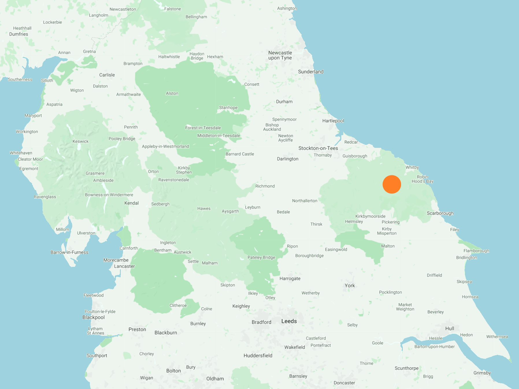
South-west along Glaisdale Rigg to Hart Leap, then down into the Glaisdale valley via Highdale Farm. Around the head of the valley on a minor road, passing Yew Grange, Mountain Ash Farm and Nab End. At Low Gill Beck Farm, it’s south into woodland then north-east to meet a minor road (Smith’s Lane) which crosses Egton Grange. Finally north to the Glaisdale village railway station, and west back to the starting point. A 10-mile walk in the North York Moors.
Recommended Ordnance Survey Map
The best map to use on this walk is the Ordnance Survey map of the North York Moors Eastern Area, reference OS Explorer OL27, scale 1:25,000. It clearly displays footpaths, rights of way, open access land and vegetation on the ground, making it ideal for walking, running and hiking. The map can be purchased from Amazon in either a standard, paper version or a weatherproof, laminated version, as shown below.
The track south-west across Glaisdale Rigg.

The view south-west from Glaisdale Rigg into the Glaisdale valley. Smoke can be seen drifting in from Glaisdale Moor as a result of managed heather burning.

Looking north-west into the Great Fryup Dale valley.

The Glaisdale valley, as seen from Mountain Ash Farm. Glaisdale Rigg, which I crossed earlier, runs along the horizon.

Beautiful Glaisdale farmland lit up by the midday winter sunshine.

The view north across Glaisdale. Several farms are located on Glaisdale Side, a minor road which runs through the valley.

A holly tree full of bright red berries.

Glaisdale (the village) can just be seen through all the Christmas trees.

Glaisdale’s Beggar’s Bridge, a ‘packhorse’ bridge designed with a low parapet to allow horses with fully laden panniers to cross without touching the sides.

Glaisdale railway station.
