North from Hutton-le-Hole across Hutton Ridge to High Snapes, then north-east to the village of Rosedale Abbey. South-east via Hollins Farm around the eastern perimeter of Spaunton Moor, continuing south to Lower Askew. North-west along the edge of Hagg Wood to Lastingham, and finally west on the minor road back to Hutton-le-Hole. A 12-mile walk in the North York Moors.

Recommended Ordnance Survey Map
The best map to use on this walk is the Ordnance Survey map of the North York Moors Western Area, reference OS Explorer OL26, scale 1:25,000. It clearly displays footpaths, rights of way, open access land and vegetation on the ground, making it ideal for walking, running and hiking. The map can be purchased from Amazon in either a standard, paper version or a weatherproof, laminated version, as shown below.
The view north-east over Rosedale, with the village of Rosedale Abbey in the centre of the photo.
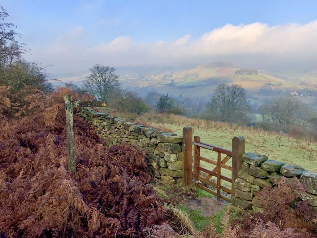
Looking north over Rosedale towards Bell Top.
The Church of St Mary & St Lawrence, Rosedale Abbey.
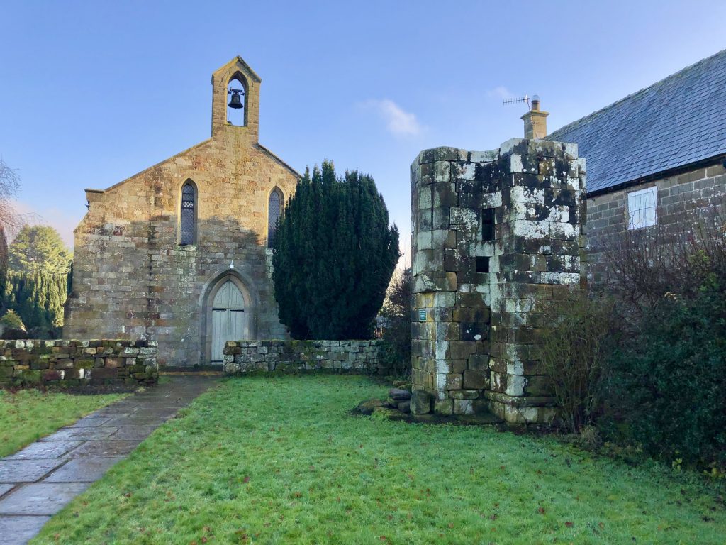
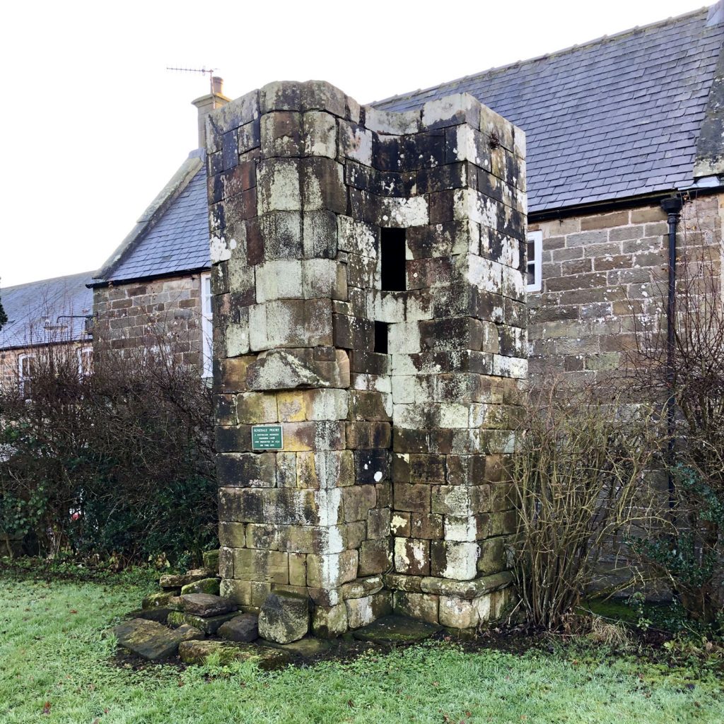
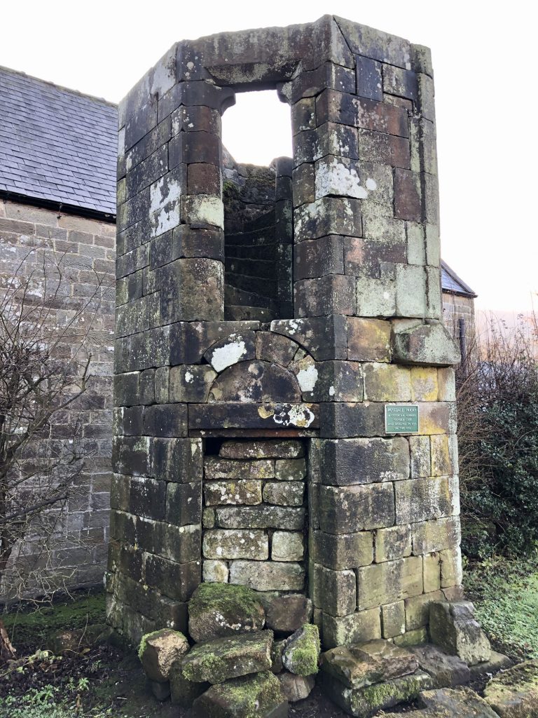
A Cistercian Priory once stood on this site at Rosedale Abbey. All that is left today is a staircase turret, a sundial and a single stone pillar. Founded in 1158 or earlier, the priory was inhabited by a small group of nuns who are credited with being the first people to farm sheep commercially in the region.
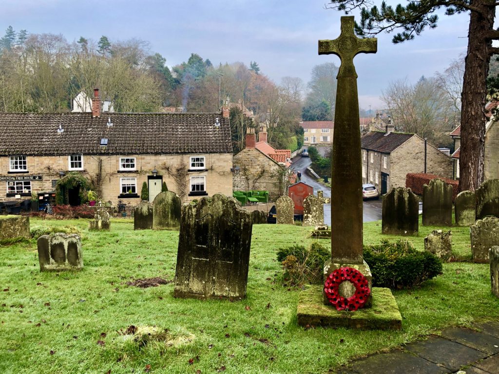
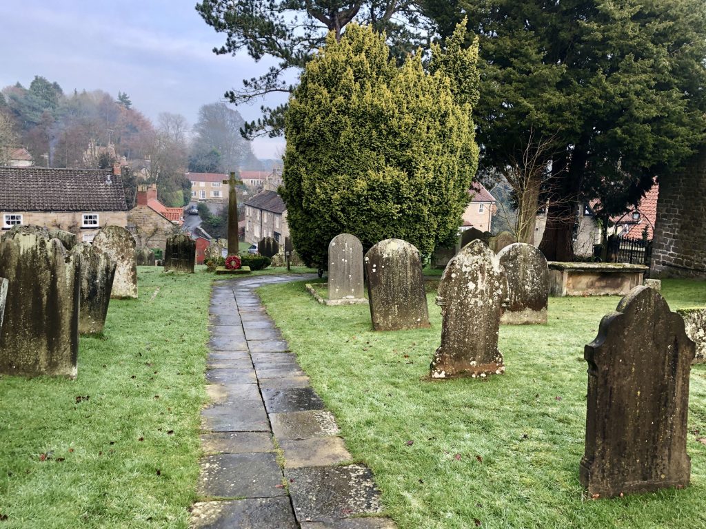
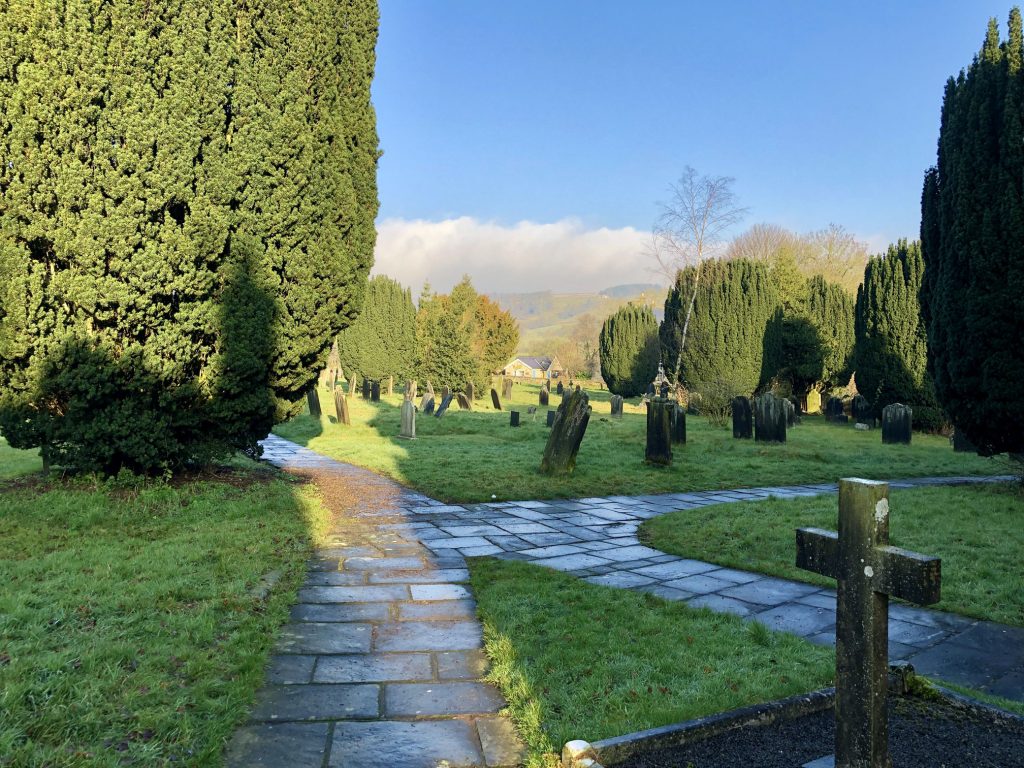
The Church of St Mary & St Lawrence graveyard, Rosedale Abbey.
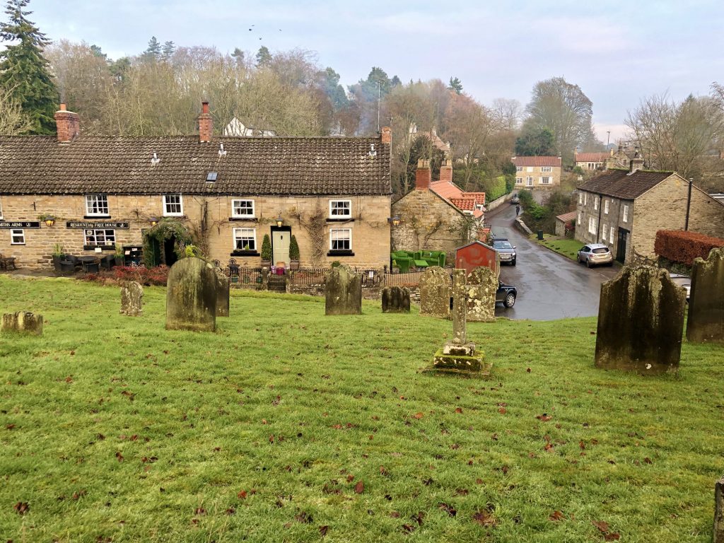
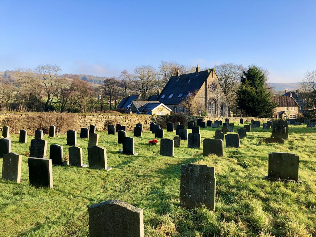
The Church of St Mary & St Lawrence graveyard, with the former Methodist chapel (now a holiday let) in the background.
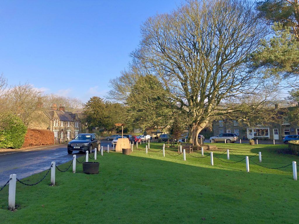
Rosedale Abbey village green.
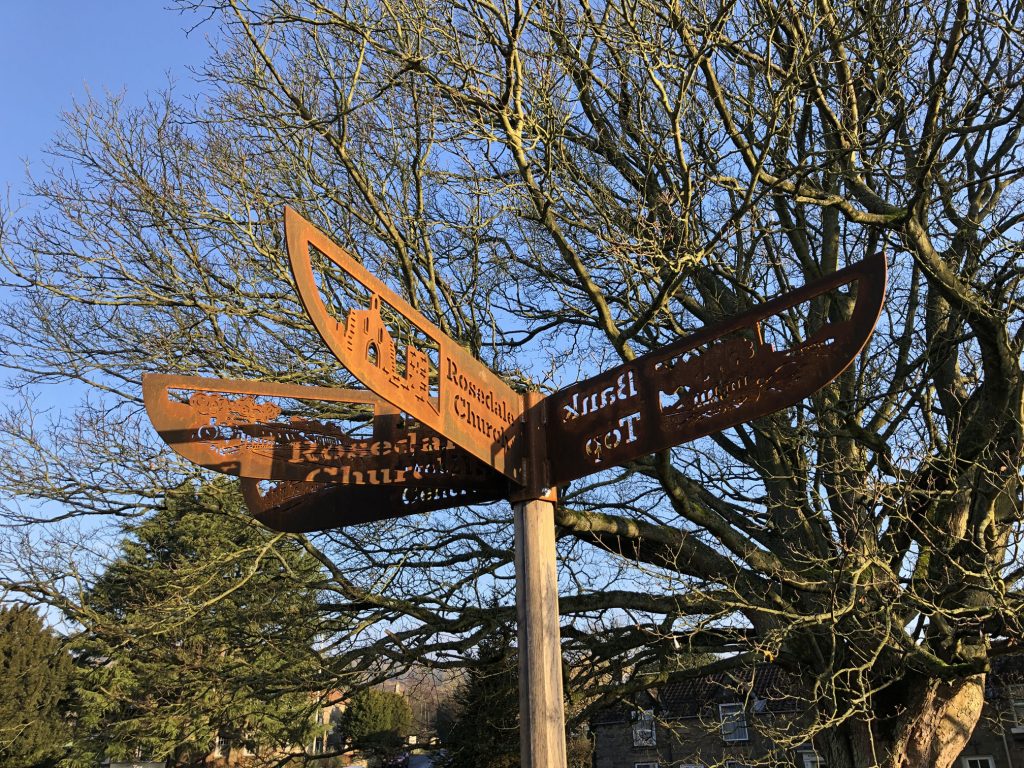
The beautiful iron signpost on Rosedale Abbey village green.
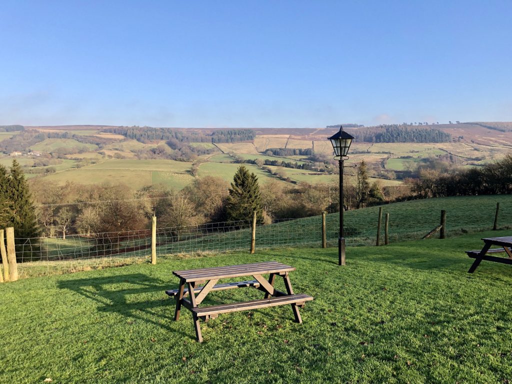
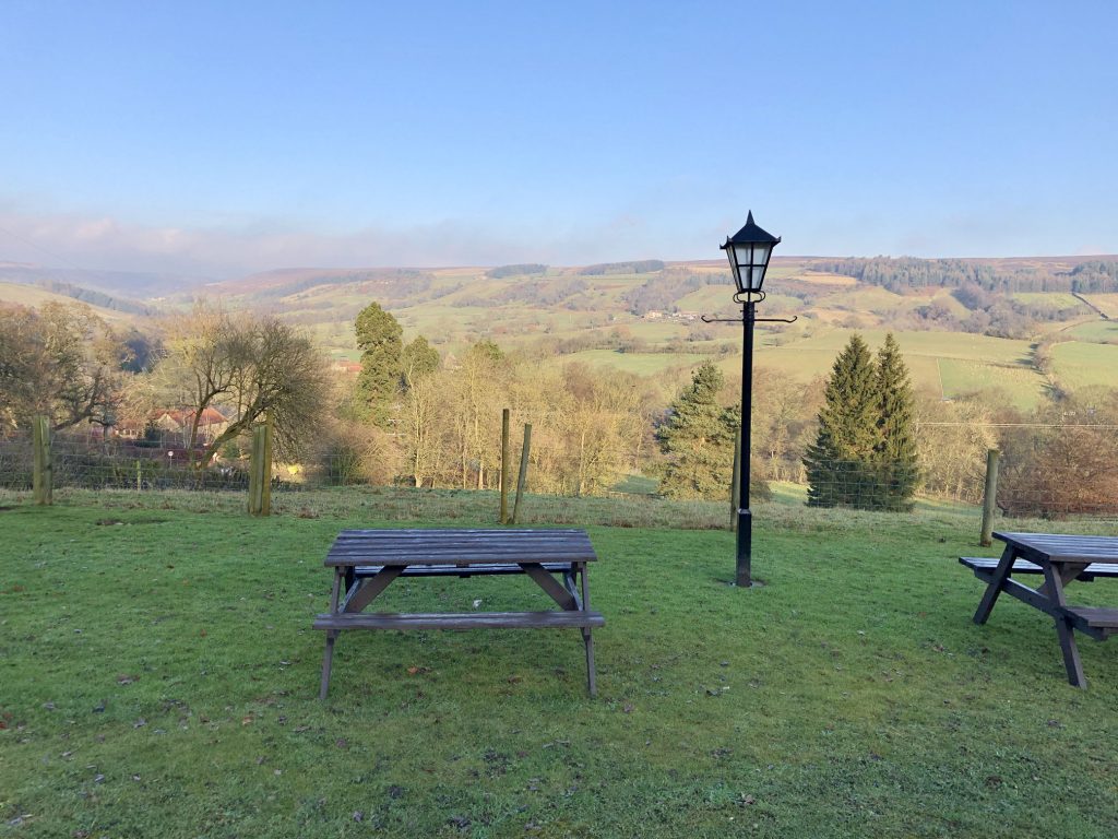
Great views of Rosedale from the White Horse Farm Inn beer garden.
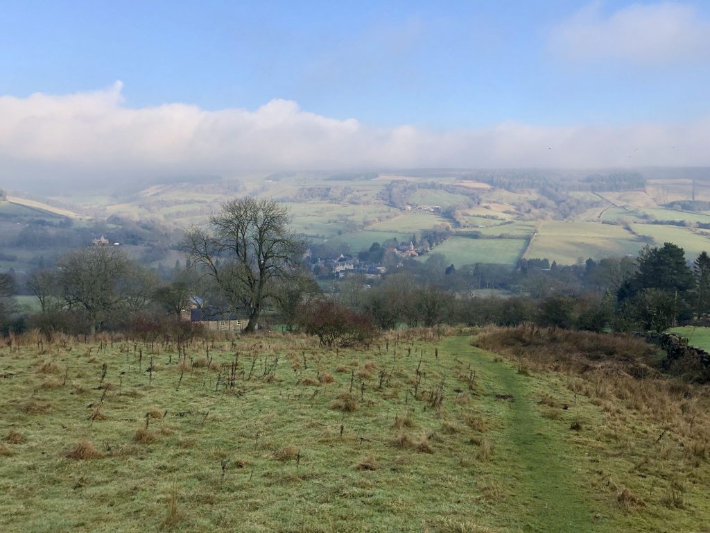
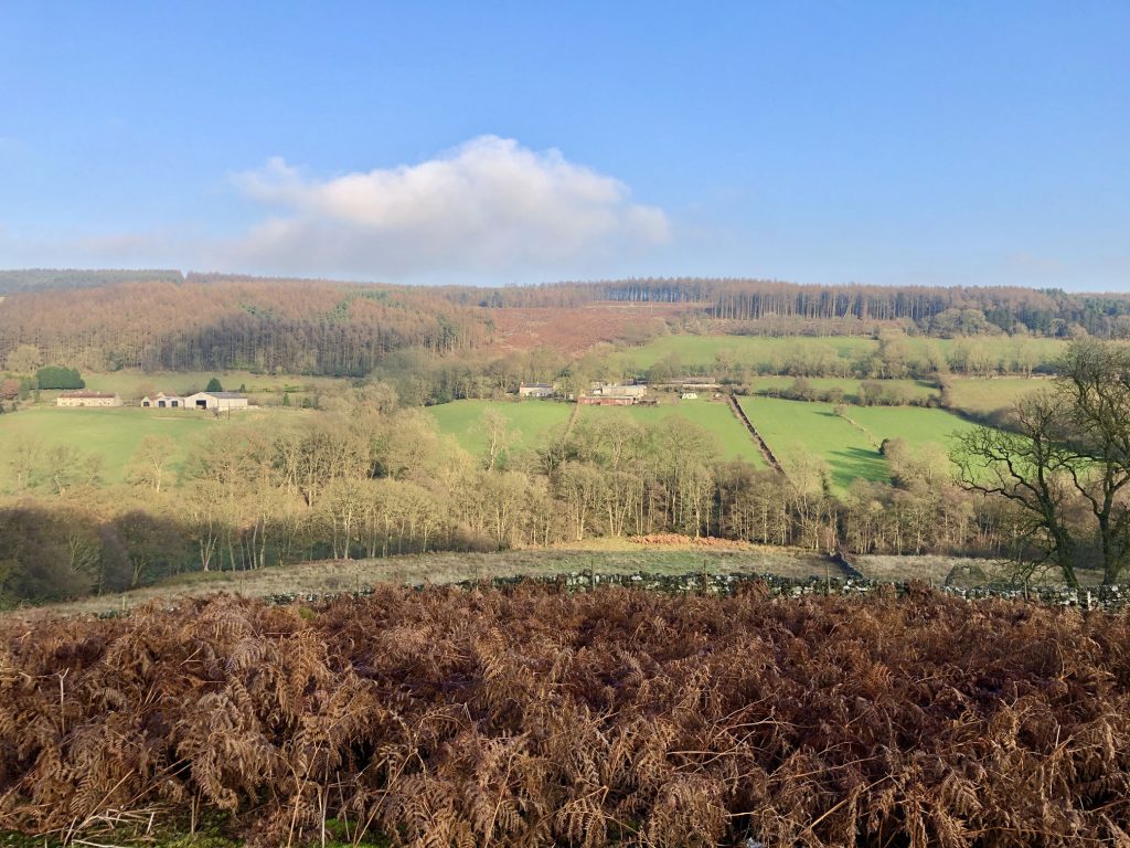
Looking down towards Craven Farm and Dyke House at the southern end of Rosedale.
The village of Lastingham, as seen from the grounds of St Mary’s Church.