South from Hutton Village via Sleddale to Percy Cross Rigg on Kildale Moor, then further south to Little Kildale by way of Quarry Hill. South-east into Baysdale and through the valley to Baysdale Abbey, before heading north-west on the Cleveland Way to Kildale. North through Lonsdale to rejoin Percy Cross Rigg and north-west back to the starting point. A 14-mile walk in the North York Moors.

Recommended Ordnance Survey Map
The best map to use on this walk is the Ordnance Survey map of the North York Moors Western Area, reference OS Explorer OL26, scale 1:25,000. It clearly displays footpaths, rights of way, open access land and vegetation on the ground, making it ideal for walking, running and hiking. The map can be purchased from Amazon in either a standard, paper version or a weatherproof, laminated version, as shown below.
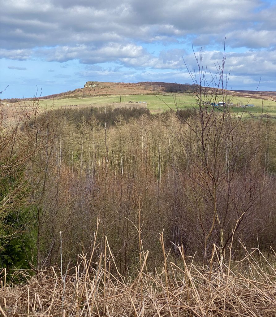
The view south from Codhill Heights into the Sleddale valley.
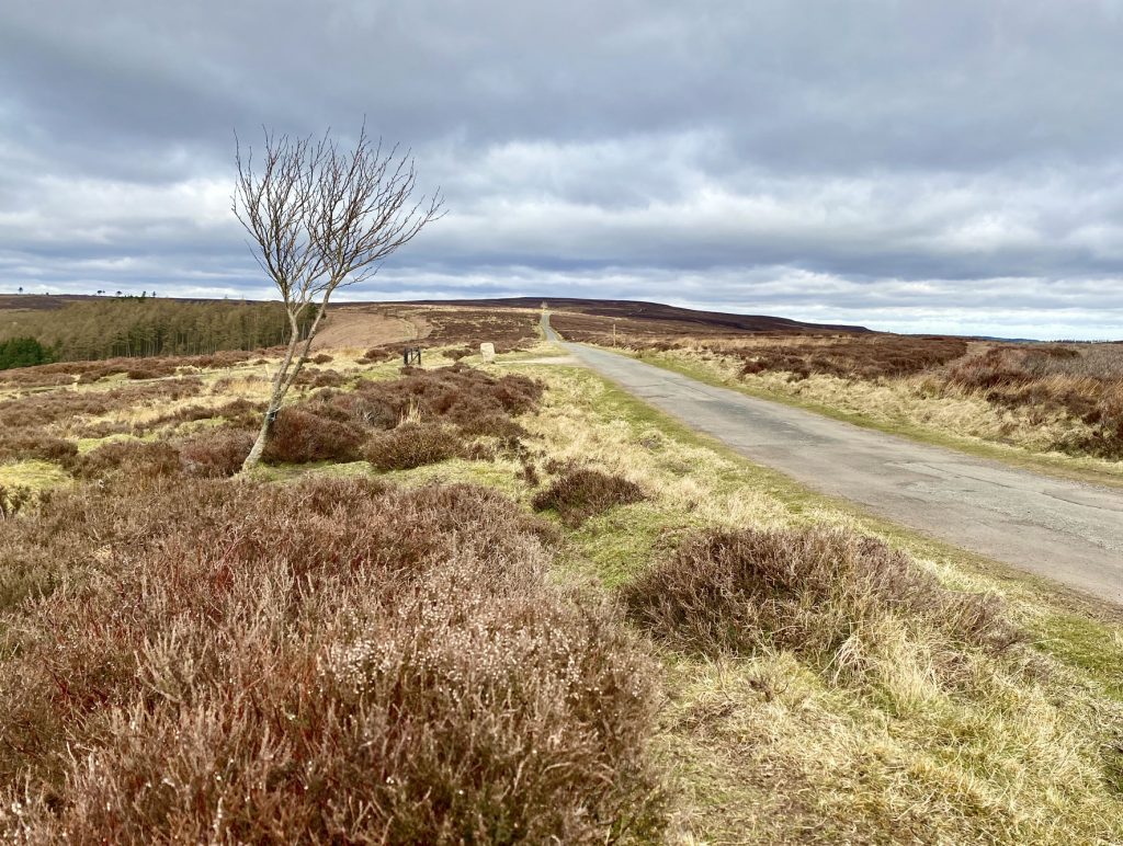
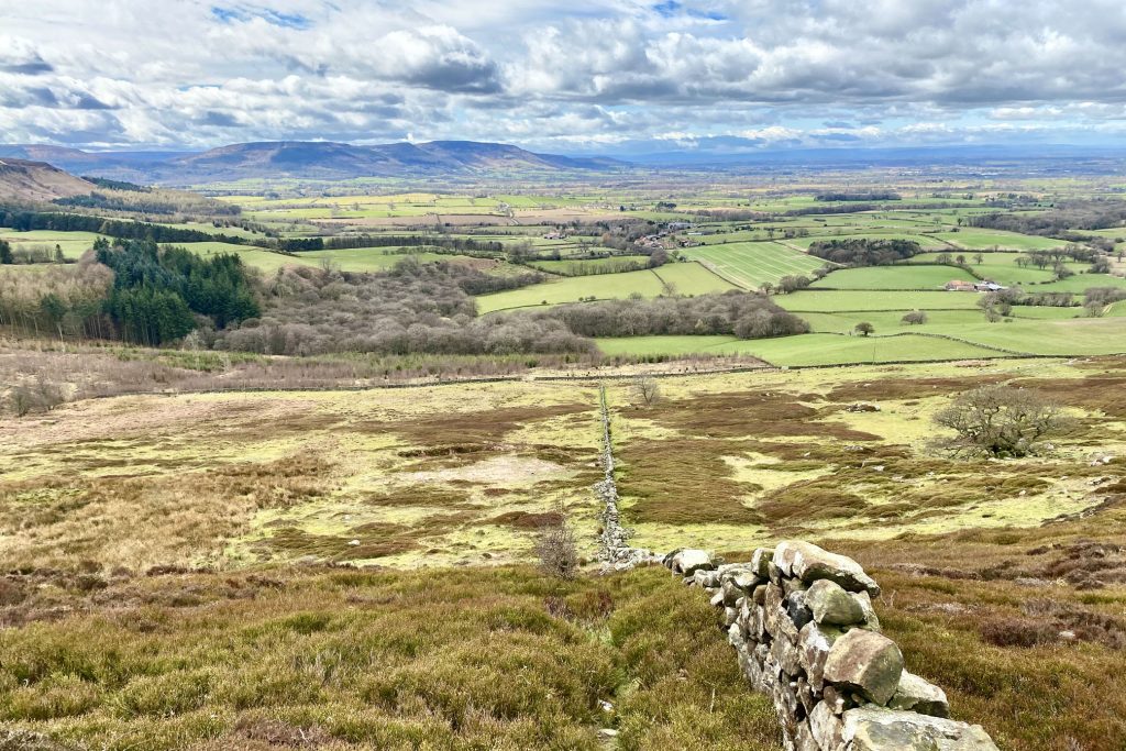
Looking west across Lonsdale from Percy Cross Rigg.
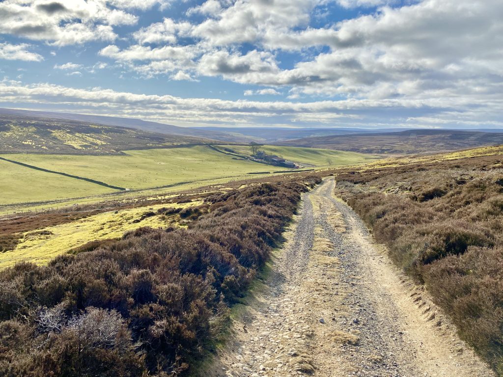
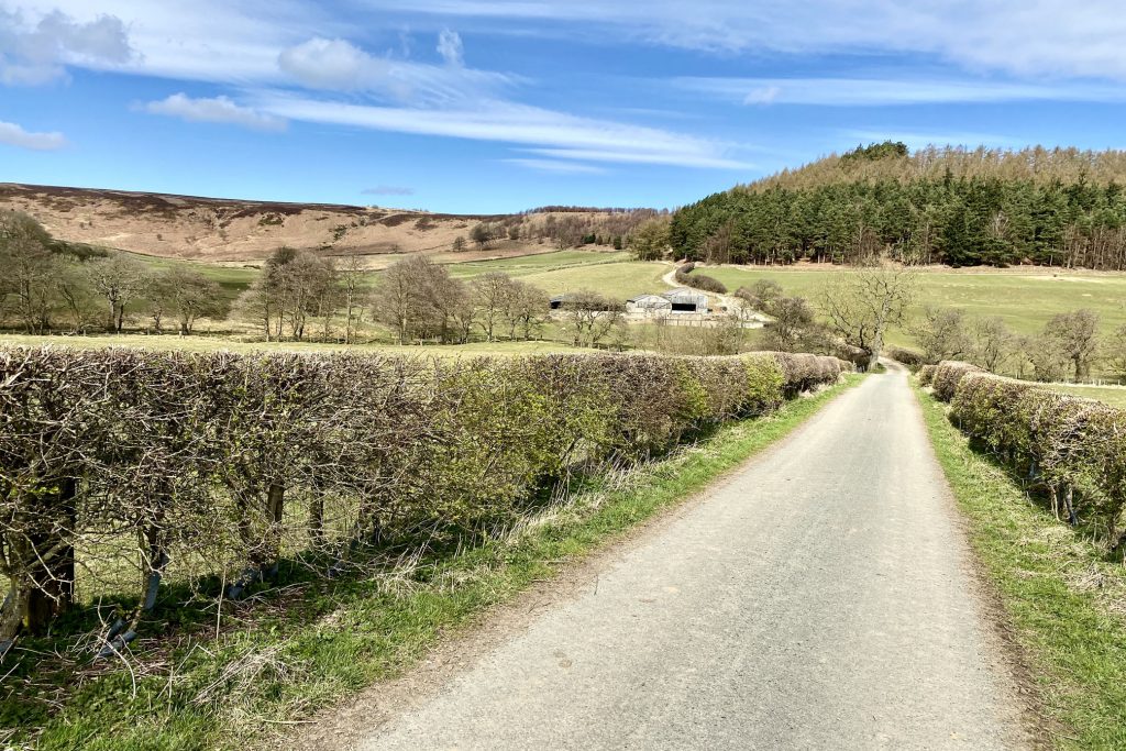
The track over Percy Cross Rigg leading north-west to Hutton Moor.
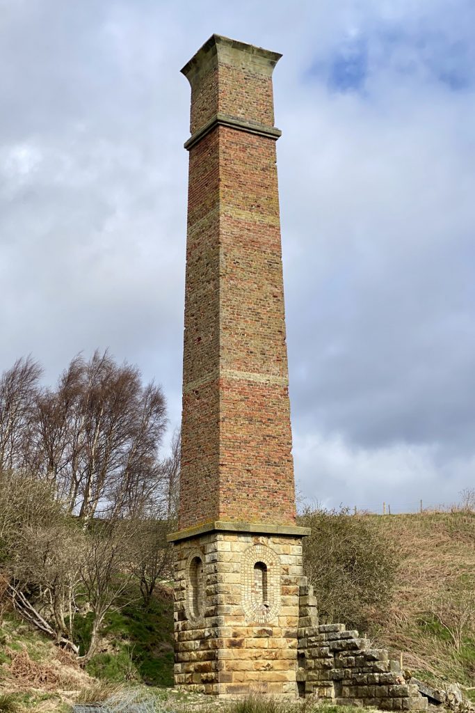
Warren Moor Mine in Leven Vale, about a mile south-east of Kildale.
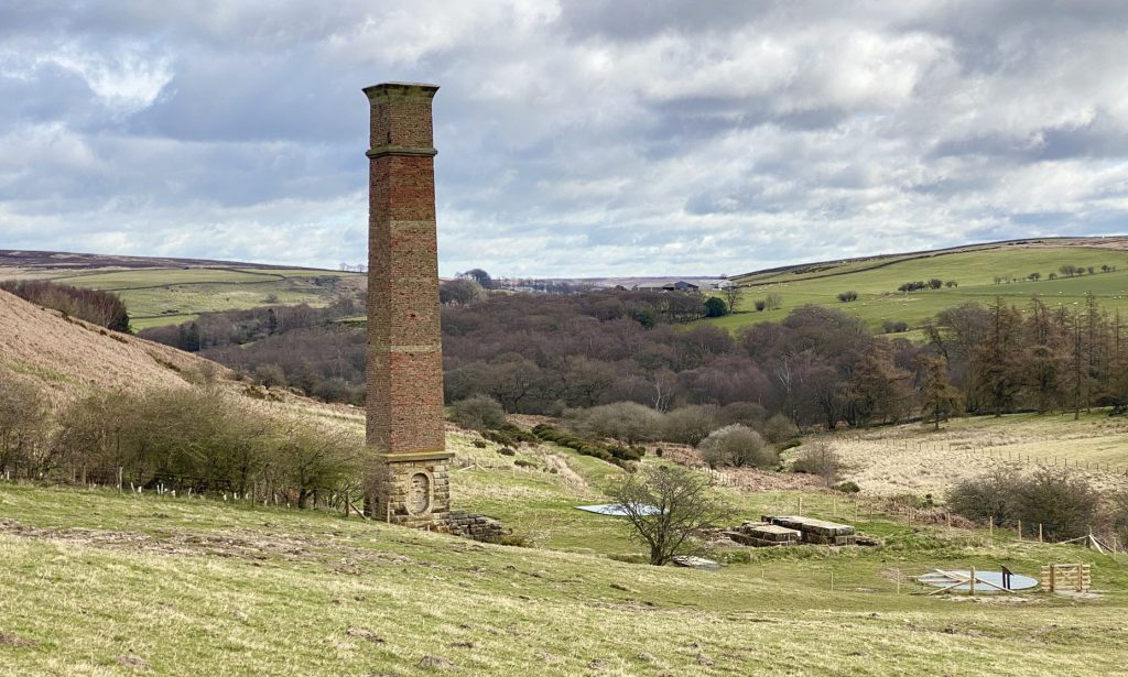
England’s only fully intact Victorian ironstone mine chimney.
Looking back at Warren Moor Mine and Warren Farm.

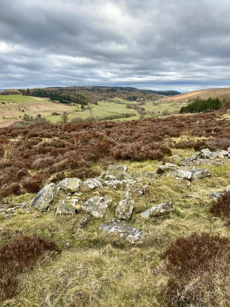
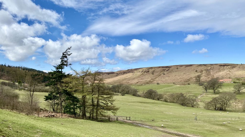
The view of Baysdale from Kildale Moor.
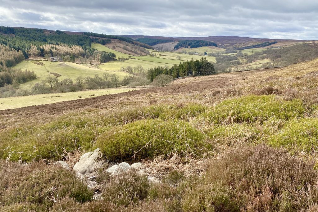
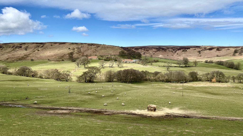
Looking down into the head of the Baysdale valley. Baysdale Abbey, now a collection of holiday properties, is just visible in the centre of the picture. The buildings lie on the site of a 12th-century Cistercian abbey.

The view north-west from Warren Moor towards Easby Moor (on the horizon in the centre of the picture). Captain Cook’s Monument sits on the top of the hill, and to the right the distinctive half-cone summit of Roseberry Topping is just visible.
The view west from Warren Moor over the Tees Valley lowlands and the Vale of Mowbray.

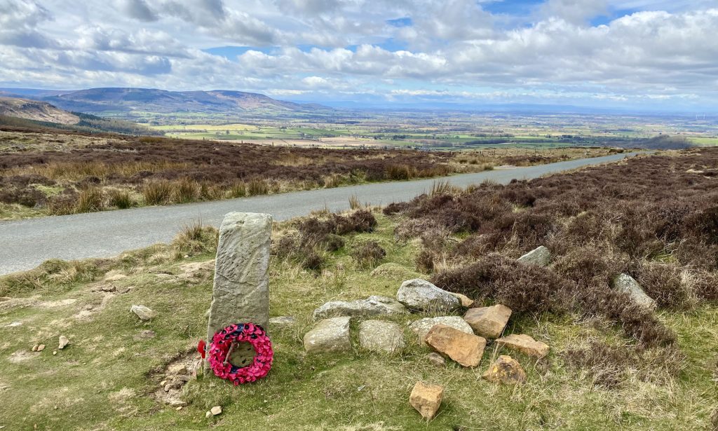
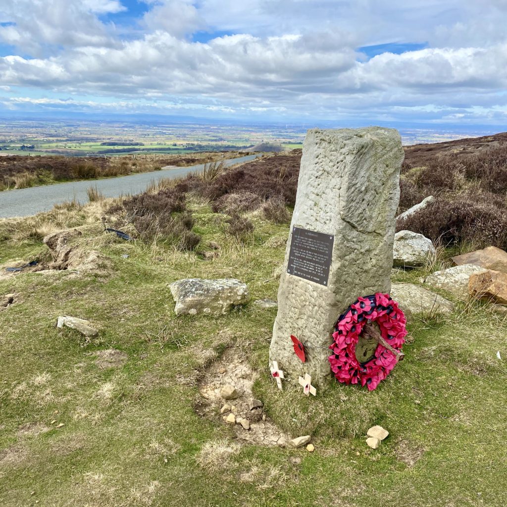
Memorial stone by the side of the Cleveland Way on Warren Moor.
The plaque reads:
IN REMEMBRANCE
WHEN RETURNING FROM A NORTH SEA NIGHT TIME PATROL HUDSON AIRCRAFT N.7298 OF 224 SQN COASTAL COMMAND RAF LEUCHARS CRASHED HALF A MILE NORTH OF THIS POINT IN THE EARLY HOURS OF 11 JANUARY 1941
THERE WAS NO FIRE AND THE CREW OF FOUR ALTHOUGH INJURED SURVIVED THE CRASH. TRAGICALLY THEY HAD DIED OF EXPOSURE BEFORE DISCOVERY TWO DAYS LATER
PILOT: P/O B.L. FOX – NEW SOUTH WALES AUSTRALIA AGE 26
NAVIGATOR/PILOT: SGT K.B. FILES – UK AGE 27
WIRELESS OP/AG: SGT W.R. MARTIN – UK AGE 25
AIRGUNNER: P/O J. MACDONALD SCOT WYLIE – UK AGE 21
THEY DIED IN THE CAUSE OF FREEDOM
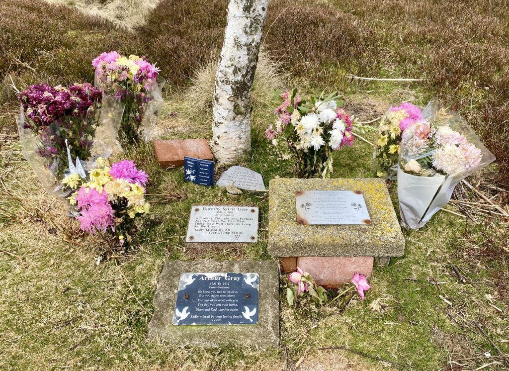
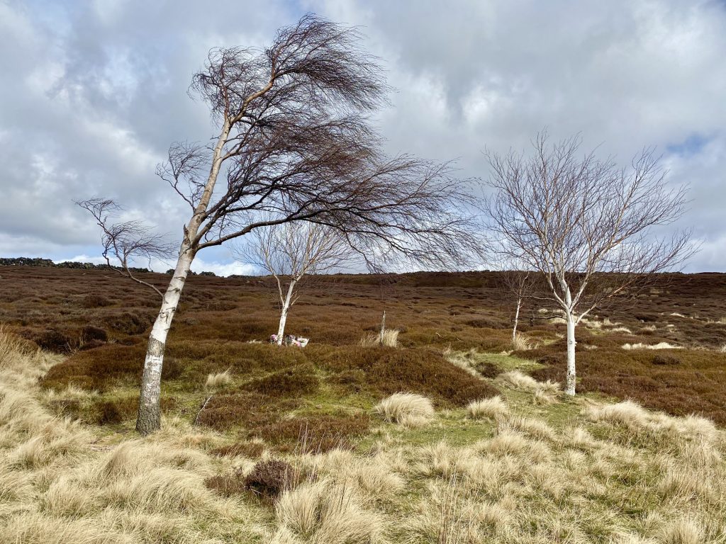
Memorial plaques for three members of the same family, beneath one of several windswept birch trees on Warren Moor.
The villages of Battersby and Ingleby Greenhow surrounded by farmland and backed by the Cleveland Hills.
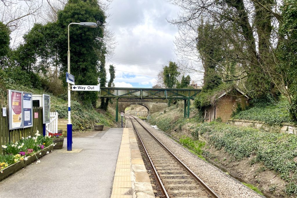
Kildale railway station.
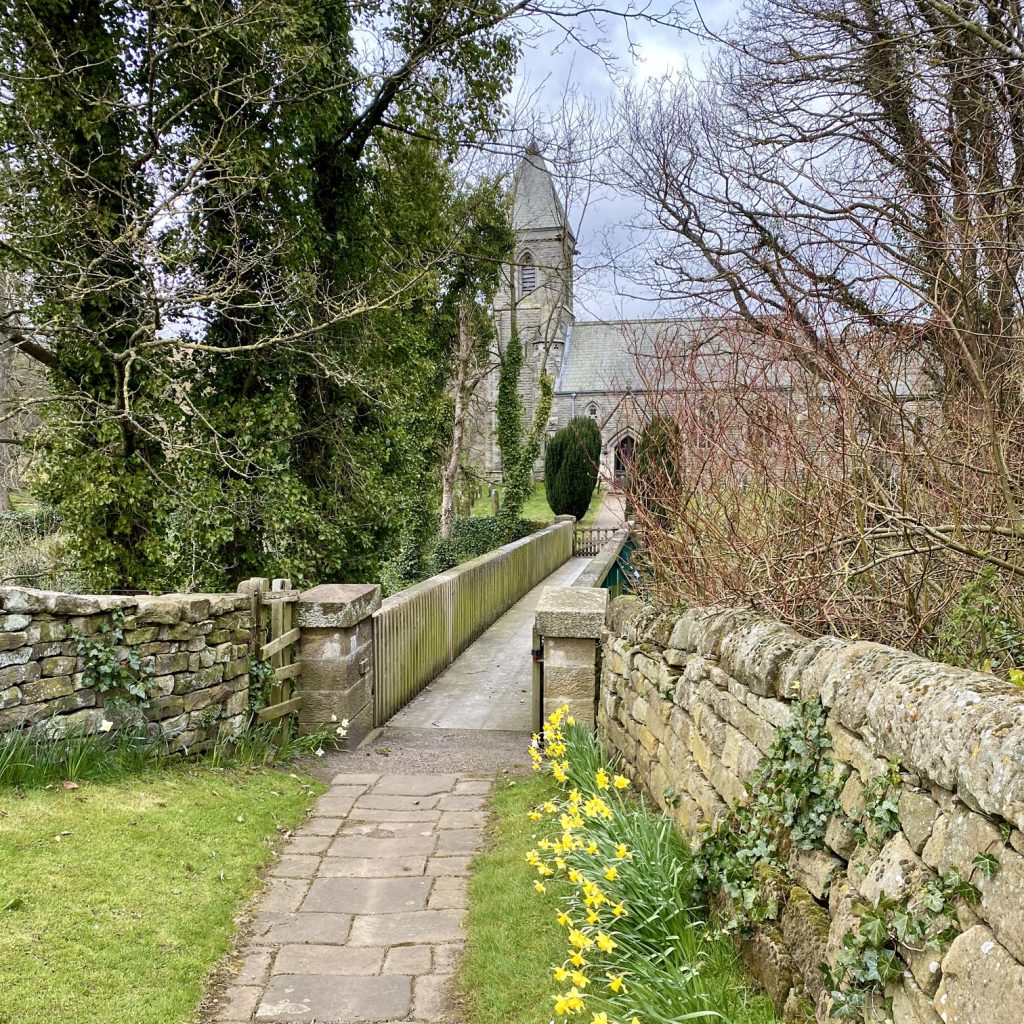
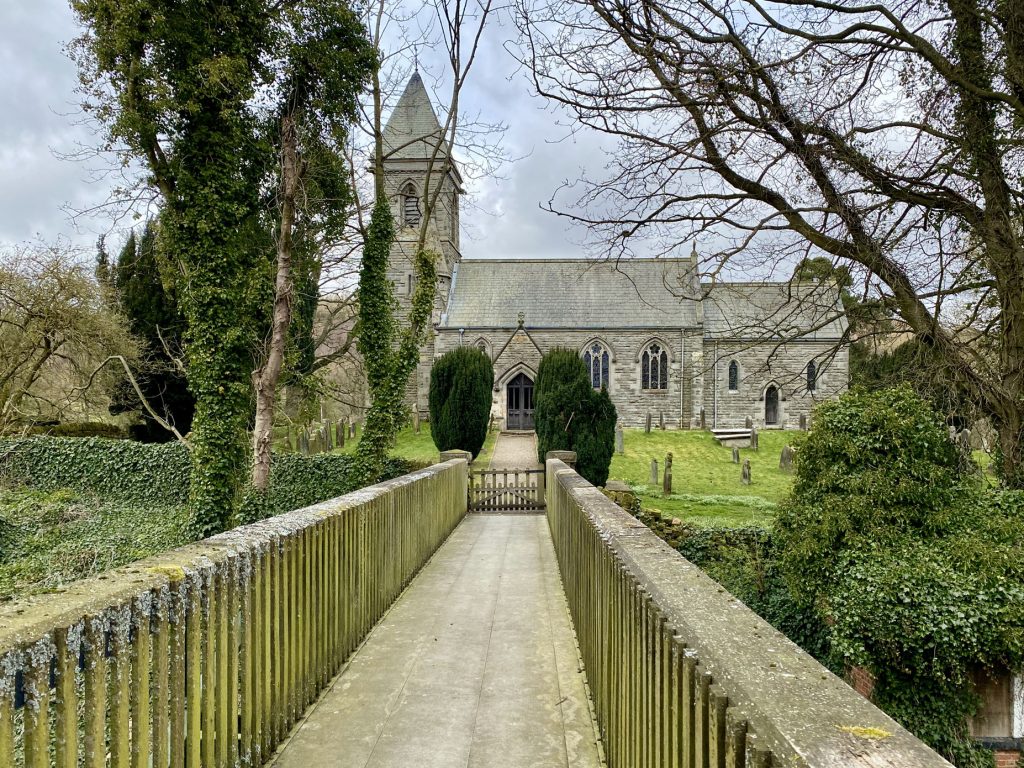
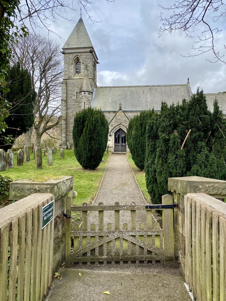
St Cuthbert’s Church, Kildale
The origins of St Cuthbert’s Church in Kildale are Saxon. A succession of churches has stood on the same spot over the last thousand years. The current church was rebuilt in the Early English style in 1868.
Viking burials were found beneath the floor along with several tombs bearing the Percy arms.
The church bell, still in use, was cast during the 14th century and the altar rails in the current church bear Robert ‘Mousey’ Thompson’s trademark mouse carving.
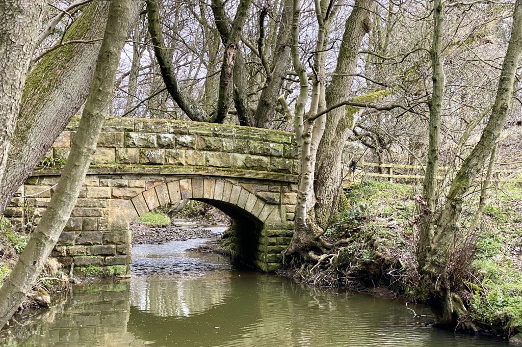
Road bridge over the River Leven in Kildale.
Farmland in Lonsdale backed by the hills of Great Ayton Moor.
The track leading out of Lonsdale and back onto Percy Cross Rigg.
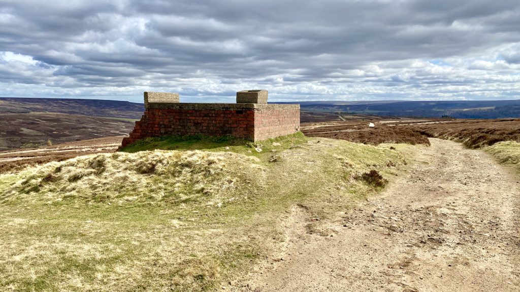
World War II brick and concrete Starfish decoy bunker on Hutton Moor.
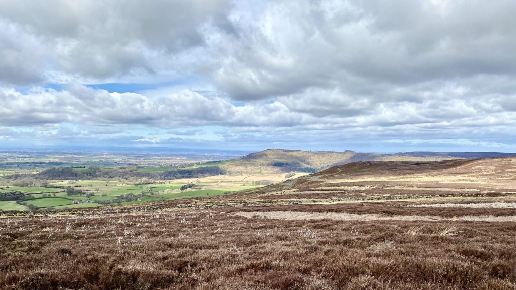
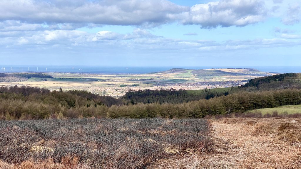
The view north from Hutton Moor towards the Redcar coastline and Teesside Wind Farm.

The two high points on the horizon are Highcliff Nab (right) and Beacon Moor (centre).

Hutton Lowcross Woods and Guisborough Woods perched above Hutton Village and Guisborough town centre.
The view towards Eston Moor, Eston Nab and Lackenby Bank, known locally as the Eston hills. They overlook Middlesbrough and the heavy steel and chemical industries around the mouth of the River Tees.

Highcliff Nab, a rocky outcrop overlooking Guisborough town centre.