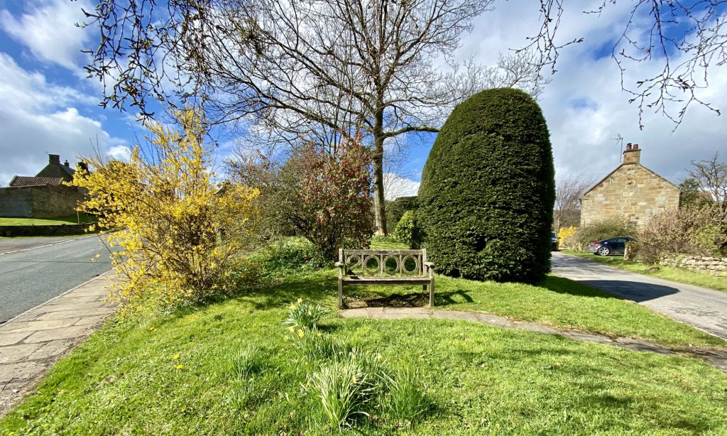
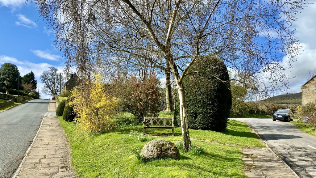
East from Hutton Village to Highcliff Nab and along the southern edge of Guisborough Woods, then south-east across Gisborough Moor to Commondale. West along the minor road to Kildale, then north-west by way of Mill Bank Wood to meet Dikes Lane near Great Ayton Station. North-east past Aireyholme Farm and Roseberry Topping, continuing through Hutton Lowcross Woods back to Hutton Village. A 15-mile walk in the North York Moors.

Recommended Ordnance Survey Map
The best map to use on this walk is the Ordnance Survey map of the North York Moors Western Area, reference OS Explorer OL26, scale 1:25,000. It clearly displays footpaths, rights of way, open access land and vegetation on the ground, making it ideal for walking, running and hiking. The map can be purchased from Amazon in either a standard, paper version or a weatherproof, laminated version, as shown below.
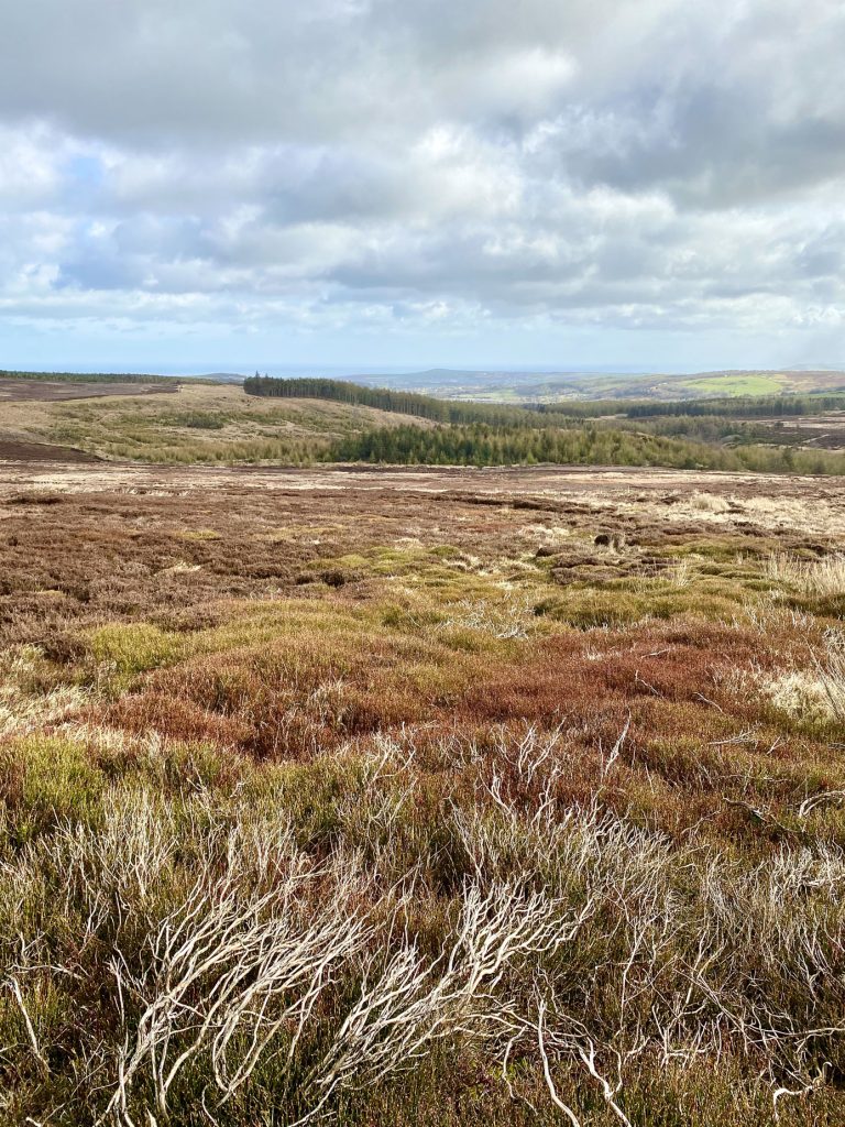
The view north-east from Gisborough Moor in the direction of Westworth Wood. The built-up areas in the distance include the villages of Skelton and Brotton. Just visible on the horizon in the centre of the picture is Warsett Hill, situated on the coast near Saltburn-by-the-Sea.
Looking north towards Guisborough Woods from Gisborough Moor.
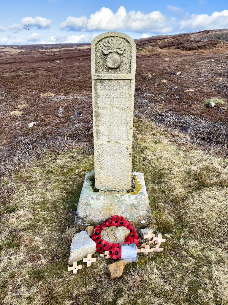
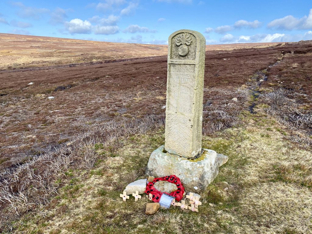
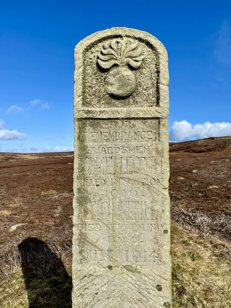
War memorial on Commondale Moor. The inscription reads:
FOR REMEMBRANCE. GUARDSMEN ROBBIE LEGGOTT KILLED IN ACTION 1916. ALF COCKERILL DIED OF WOUNDS 1920. DUTY 1914.
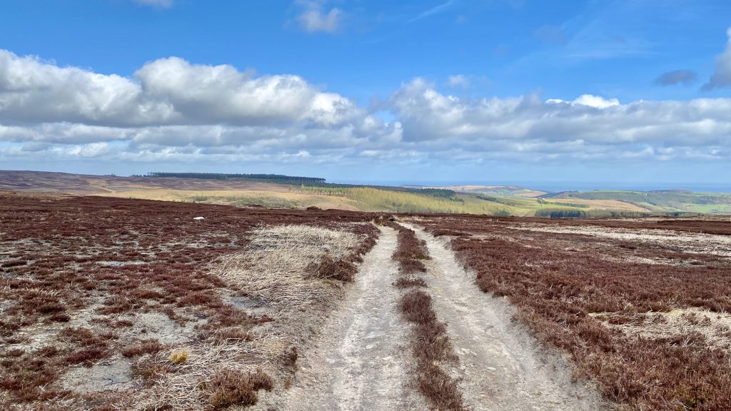
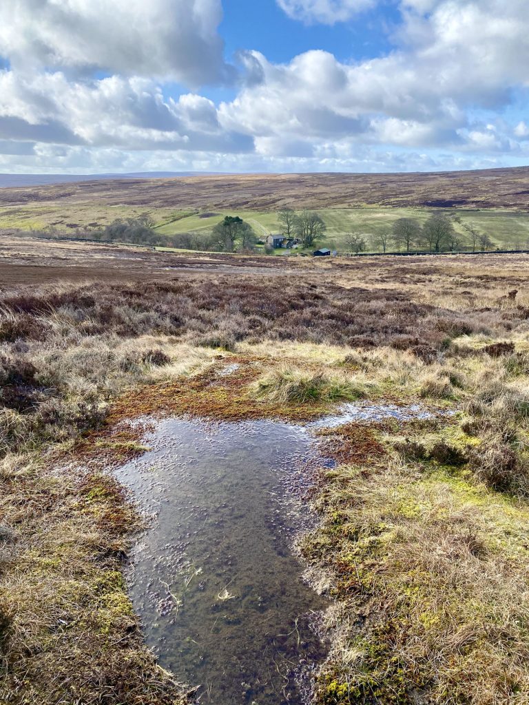
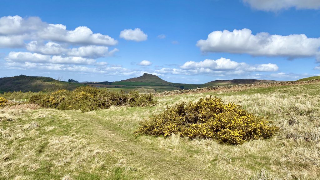
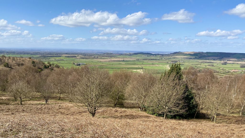
The view south-west across to North Ings Moor.
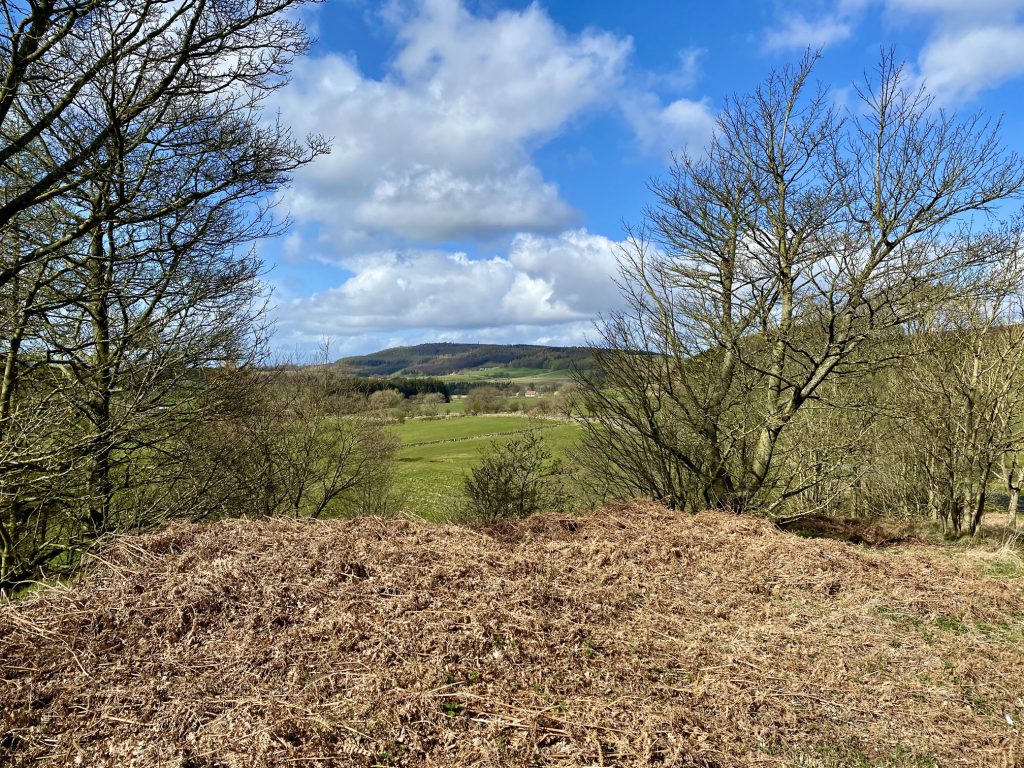
Easby Moor visible between the trees of Crag Bank Wood. Captain Cook’s Monument, just a tiny speck in this picture, sits on top of the moor.
The Esk Valley Railway near Quarry Hill, just east of Kildale.

Picnic area on the outskirts of Kildale, complete with seating and oak dining table.

Kildale
Set in a glacial valley of the Cleveland Hills, Kildale parish covers 5730 acres, much of it moorland, with a current resident population of about 130 people.
There are ancient remains including an Iron Age settlement in the parish and, for the past 900 years, these lands have been part of a private estate which has belonged, in turn, to only three families. Its boundaries have barely changed.
When the Domesday Book was compiled in 1086, a Norman baron called Orme owned the village and its lands. The name was written down by Norman scribes as ‘Childale’, from the Viking words meaning ‘narrow valley’.
The manor was given by the Conqueror to Robert de Brus and subsequently passed in marriage to the Percys, Earls of Northumberland, who built a castle here during the 12th century.
The castle was later replaced by a manor house and mounds can still be seen in the fields near the Church where they once stood.
The manor and estate were sold by the Percy family in 1660 to John Turner of Kirkleatham. In 1806 they were bought by Robert Bell Livesey from Thirsk Hall whose descendants still live in Kildale.
For many years jet, iron ore and whinstone were mined in these parts and cottages were built by the Kildale Estate to house mine workers and their families. The locally quarried sandstone makes particularly fine building stone, which can be cut into straight blocks.
Today, Kildale is home to a thriving rural community involved in farming and local enterprises. Kildale Estate manages the surrounding woodlands and works to conserve the moorland by burning heather and spraying encroaching bracken.
A wide variety of upland birds depend upon the moorland for their habitat, such as red grouse, curlew, lapwing and golden plover.
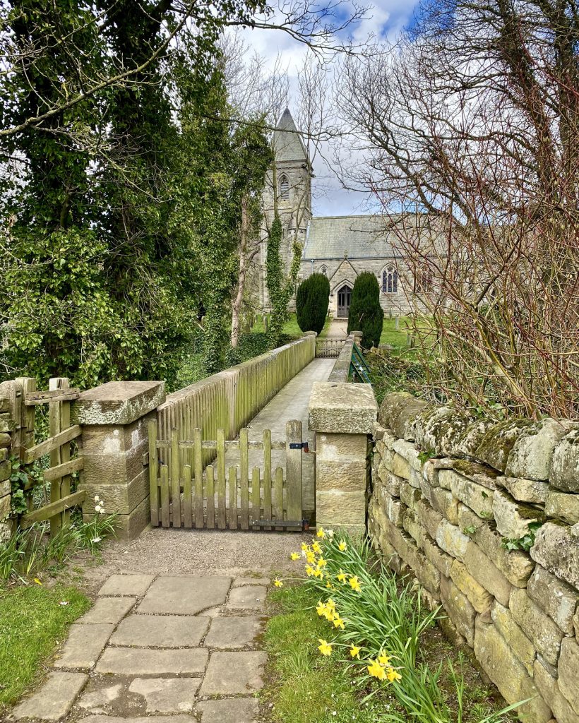
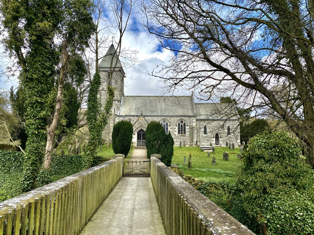
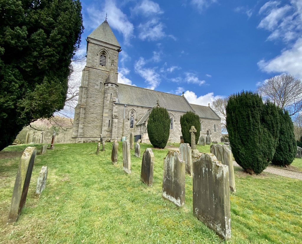
St Cuthbert’s Church, Kildale
The origins of St Cuthbert’s Church in Kildale are Saxon. A succession of churches has stood on the same spot over the last thousand years. The current church was rebuilt in the Early English style in 1868.
Viking burials were found beneath the floor along with several tombs bearing the Percy arms.
The church bell, still in use, was cast during the 14th century and the altar rails in the current church bear Robert ‘Mousey’ Thompson’s trademark mouse carving.
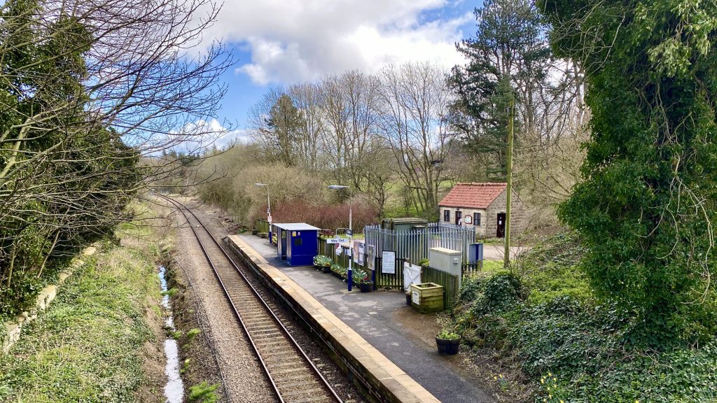
Kildale railway station.
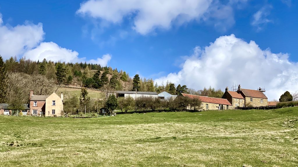
Bankside Farm, Kildale.
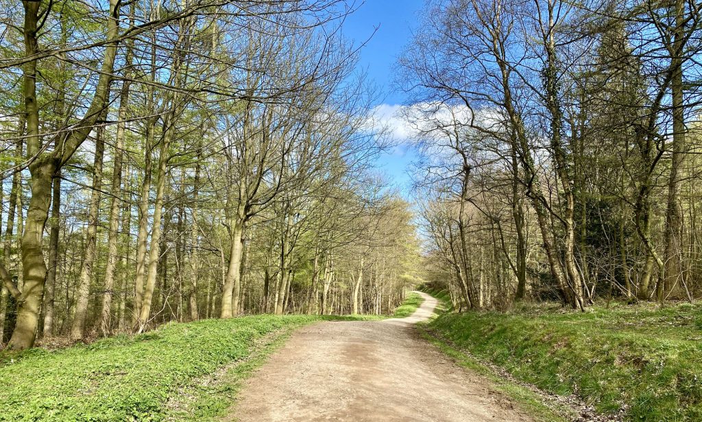
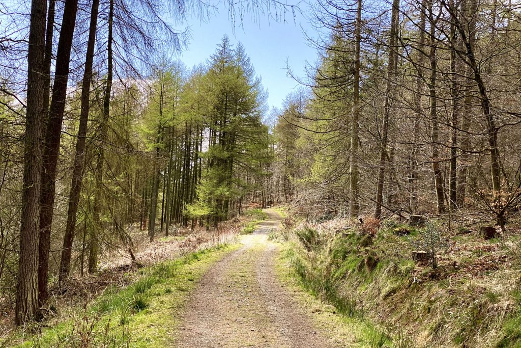
The route through Mill Bank Wood.
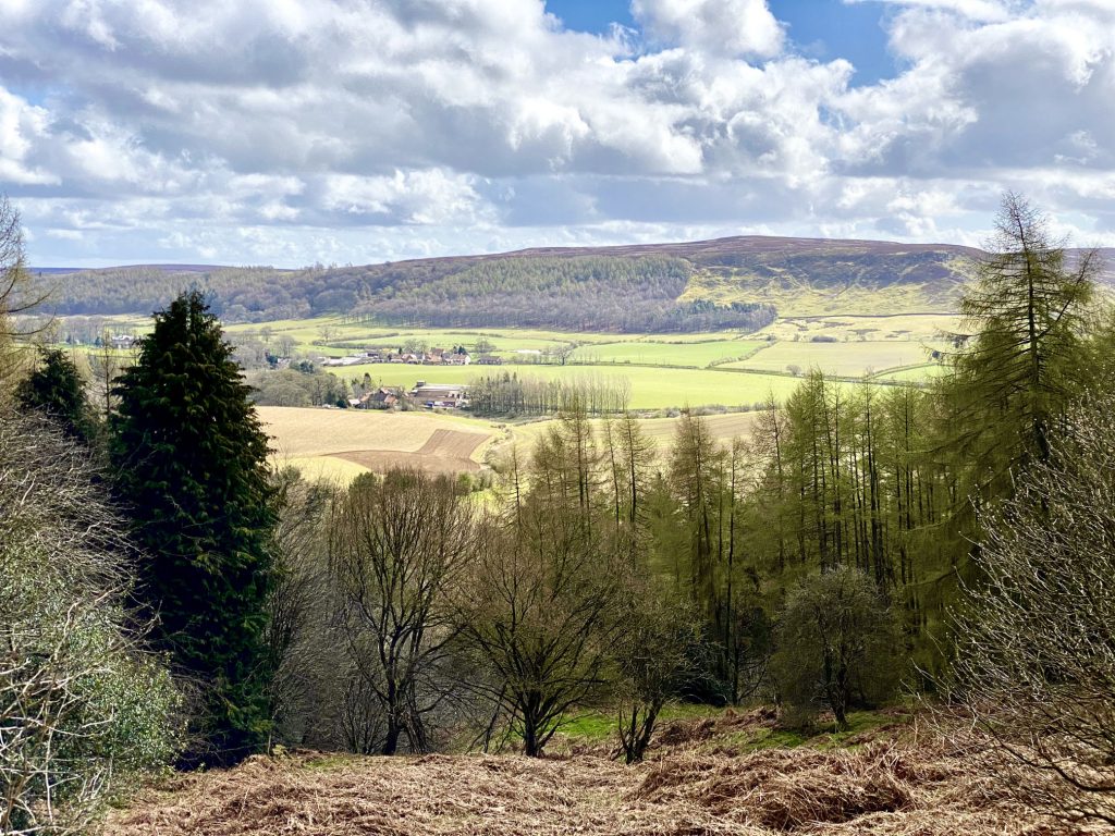
The view south-east from Mill Bank Wood across to Kildale, Little Kildale Wood and Warren Moor.
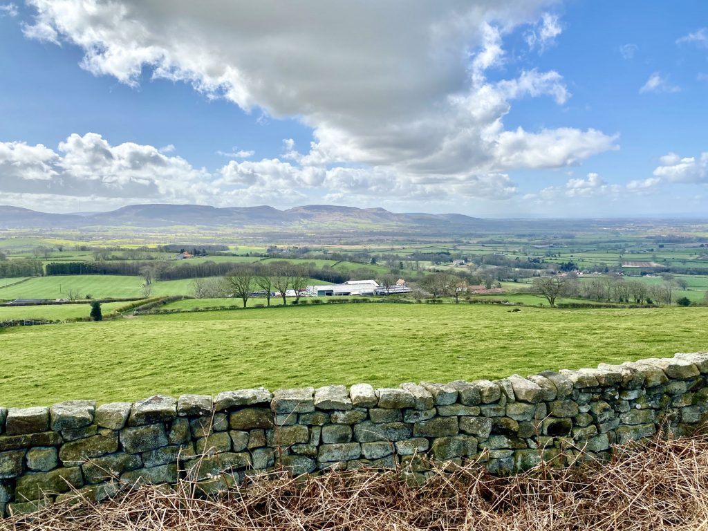
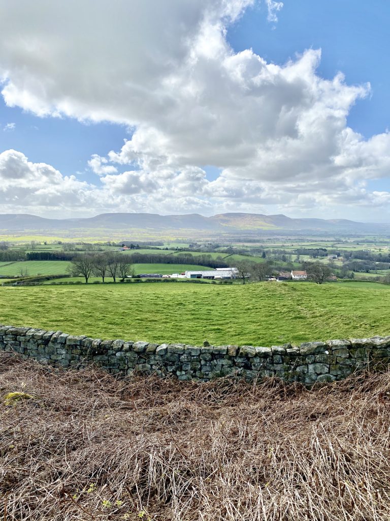
The view south-west across to the Cleveland Hills, south of Stokesley and Great Broughton. The four highest points, from left to right, are White Hill (above Hasty Bank), the peak of Cold Moor (above Broughton Bank), Drake Howe on Cringle Moor (above Kirby Bank) and the peak of Carlton Moor (above Carlton Bank). The Cleveland Way national trail runs across the top of these hills.
The view west over Easby Wood towards Great Ayton. Seamer Wind Farm can be seen in the background.

Roseberry Topping comes into view from the edge of Ayton Banks Wood.
Looking over to the village of Great Ayton.
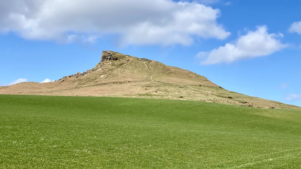
The distinctive half-cone summit of Roseberry Topping. Until 1912, the summit resembled a sugarloaf, until a geological fault and possibly nearby alum and ironstone mining caused its collapse.
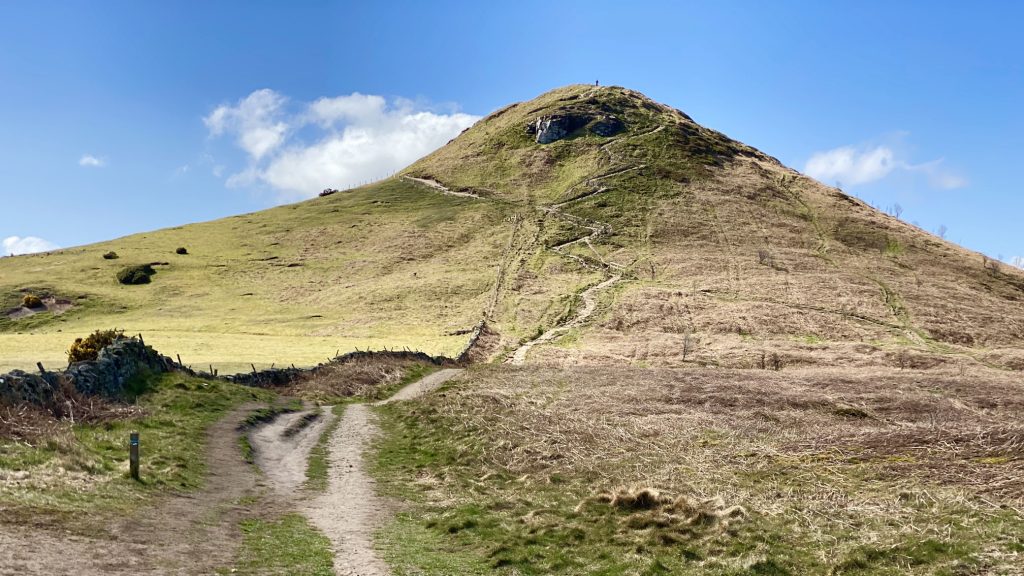
The Cleveland Way footpath leading to the summit of Roseberry Topping on the hill’s eastern aspect.
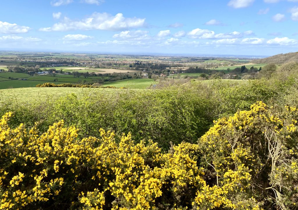
The north-west view towards Middlesbrough and Stockton-on-Tees.
The route through Hutton Lowcross Woods.