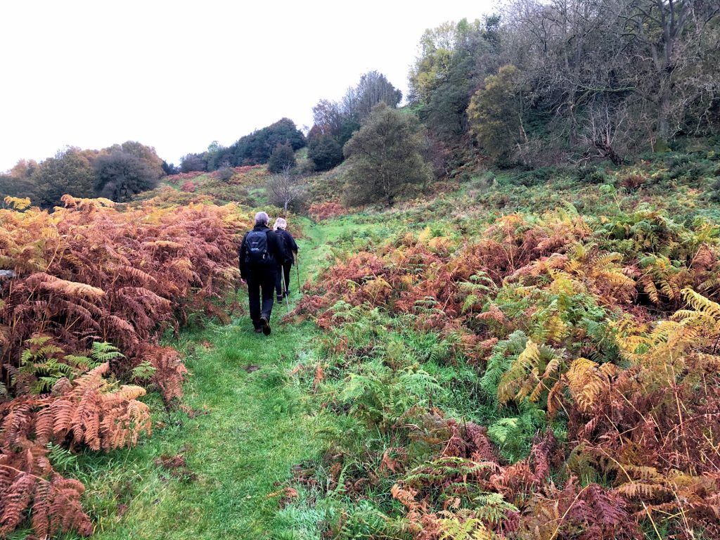
South-west from Lealholm to Prospect House in Great Fryup Dale, then further south-west to Yew Grain Scar by way of Cut Road on Glaisdale Moor. North via Wood End Farm to Stonebeck Gate Farm, and finally north-east through Little Fryup Dale back to Lealholm. A 13-mile walk in the North York Moors.

Recommended Ordnance Survey Map
The best map to use on this walk is the Ordnance Survey map of the North York Moors Eastern Area, reference OS Explorer OL27, scale 1:25,000. It clearly displays footpaths, rights of way, open access land and vegetation on the ground, making it ideal for walking, running and hiking. The map can be purchased from Amazon in either a standard, paper version or a weatherproof, laminated version, as shown below.
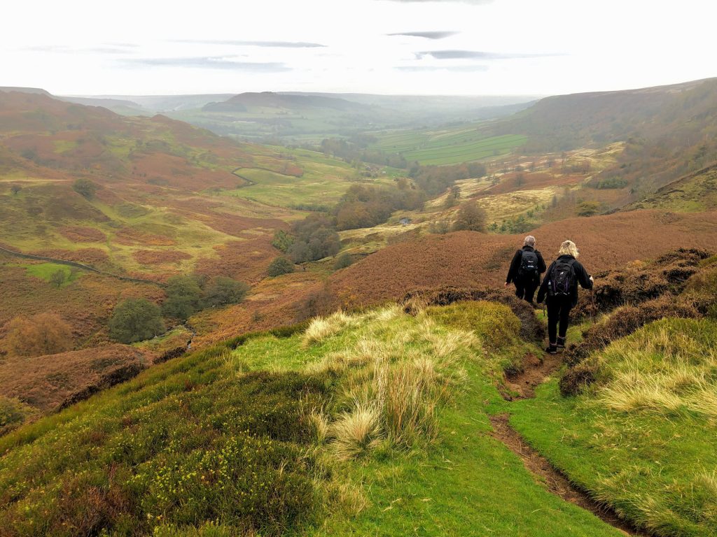
The view north through Great Fryup Dale as we make our way down into the valley from Glaisdale Moor.
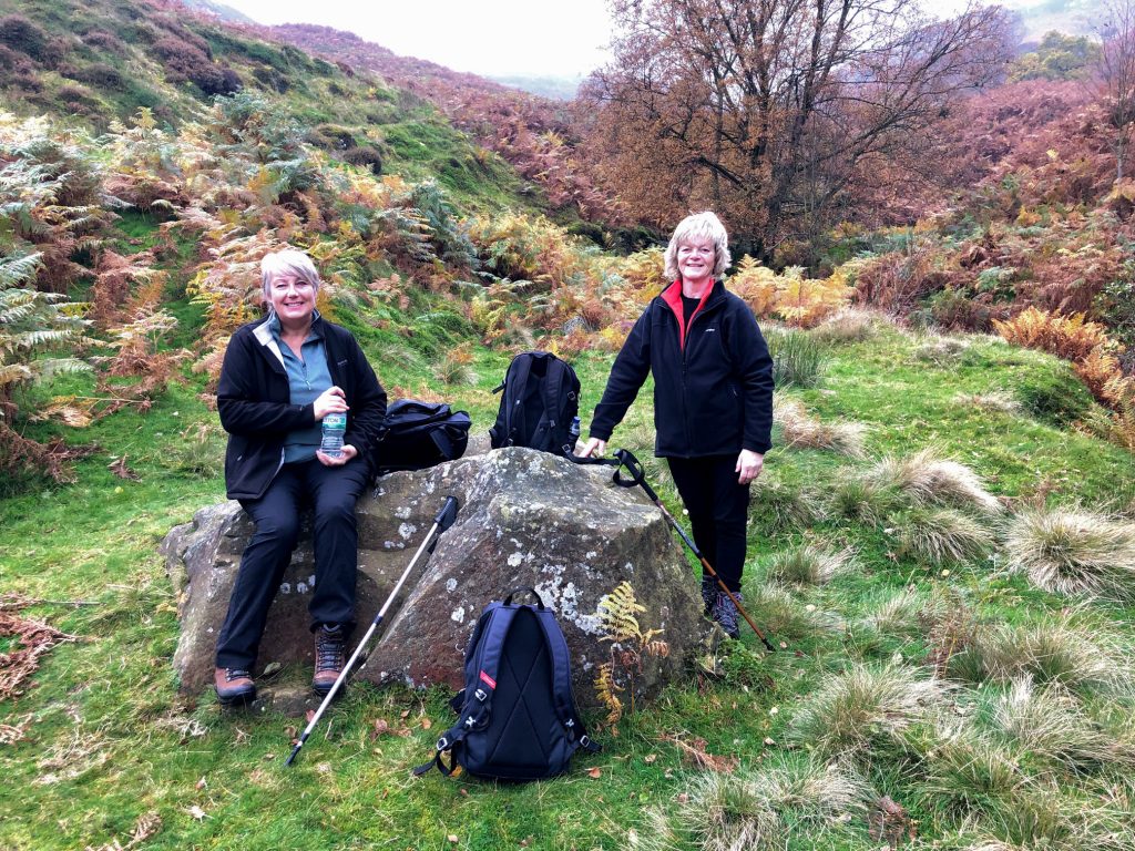
A sheltered spot below Yew Grain Scar at the head of the Great Fryup Dale valley.
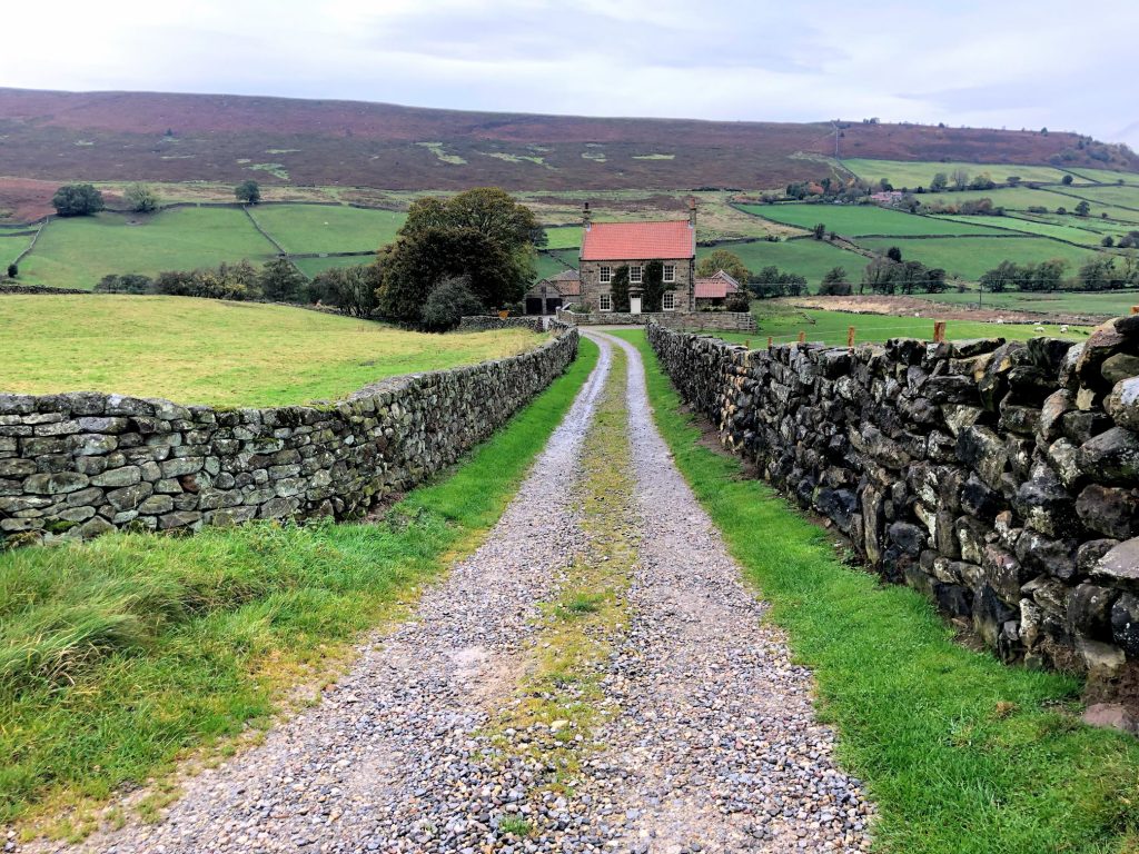
Forester’s Lodge in Little Fryup Dale.
The route through Crag Wood at the northern end of Little Fryup Dale.
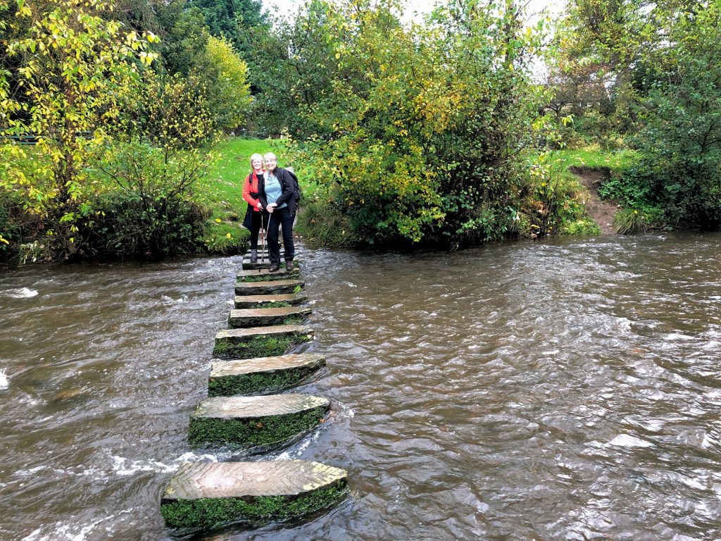
Lynn and Angie on the River Esk stepping stones in Lealholm.
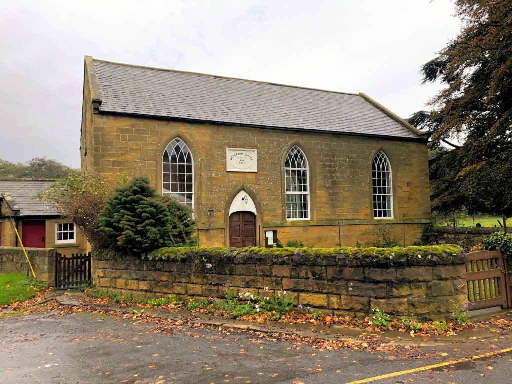
Wesleyan chapel in Lealholm village centre.
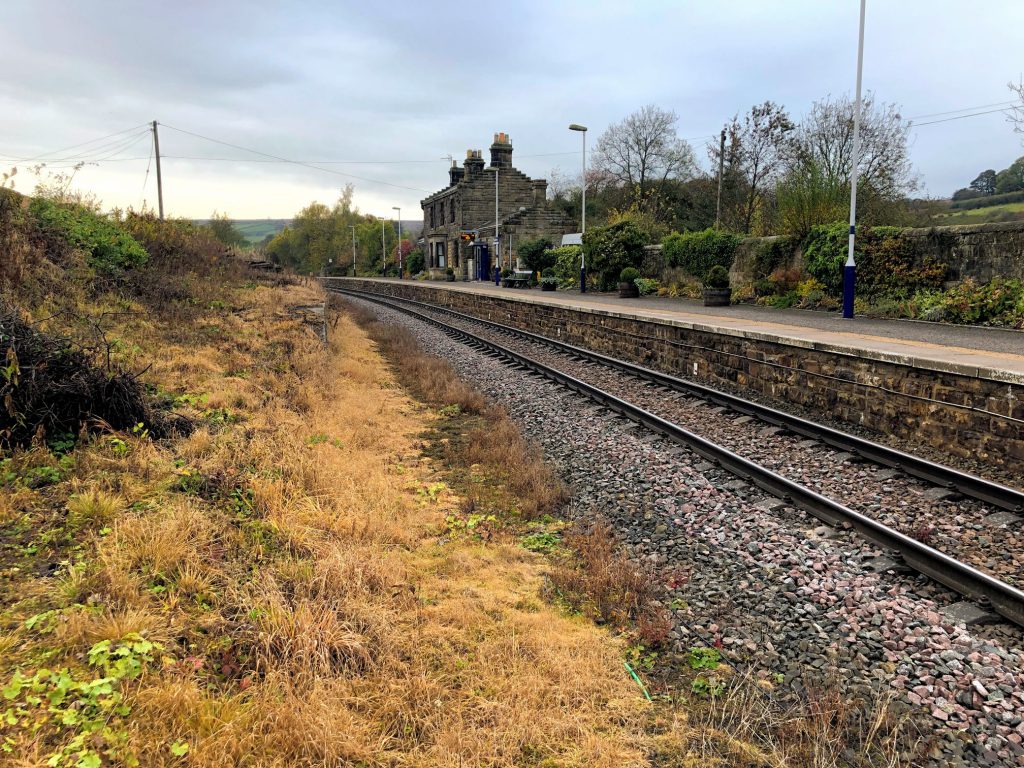
Lealholm railway station.