North-west from Lockton to Levisham, then across to Newton-on-Rawcliffe via Levisham Station. West to Cawthorne Banks and through the Roman Practice Works onto Bradley Road. Back to Lockton by way of West Dike Road, Keldgate Road and Farwath Road. A 12-mile walk in the North York Moors.
Recommended Ordnance Survey Map
The best map to use on this walk is the Ordnance Survey map of the North York Moors Eastern Area, reference OS Explorer OL27, scale 1:25,000. It clearly displays footpaths, rights of way, open access land and vegetation on the ground, making it ideal for walking, running and hiking. The map can be purchased from Amazon in either a standard, paper version or a weatherproof, laminated version, as shown below.
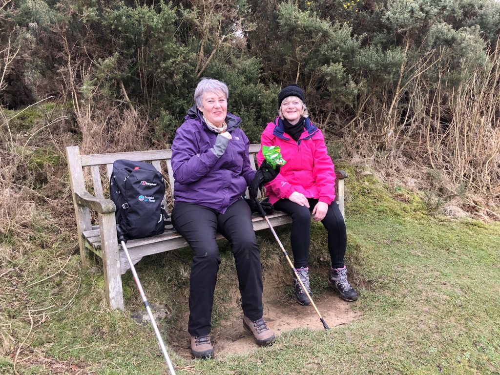
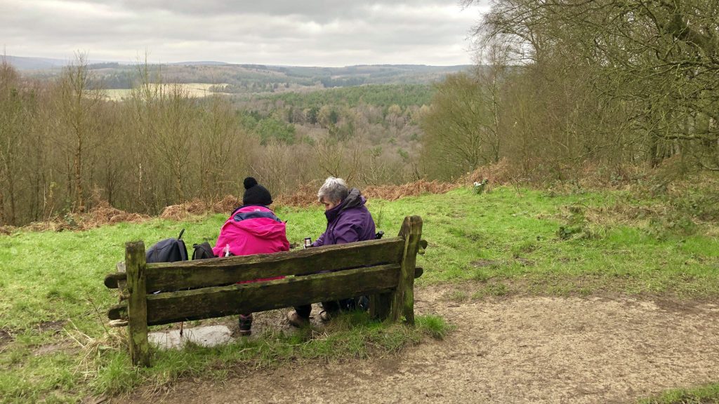
A mid-morning snack near Keldgate Slack, just west of Levisham.
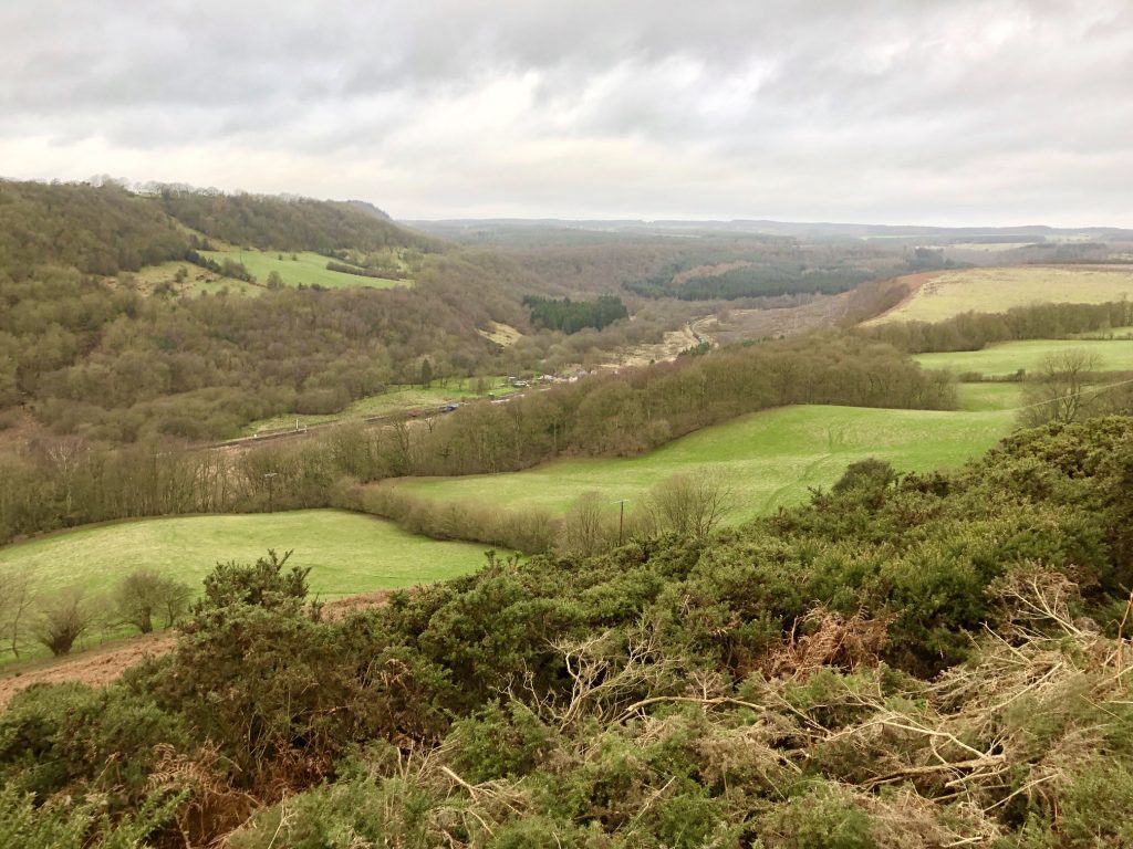
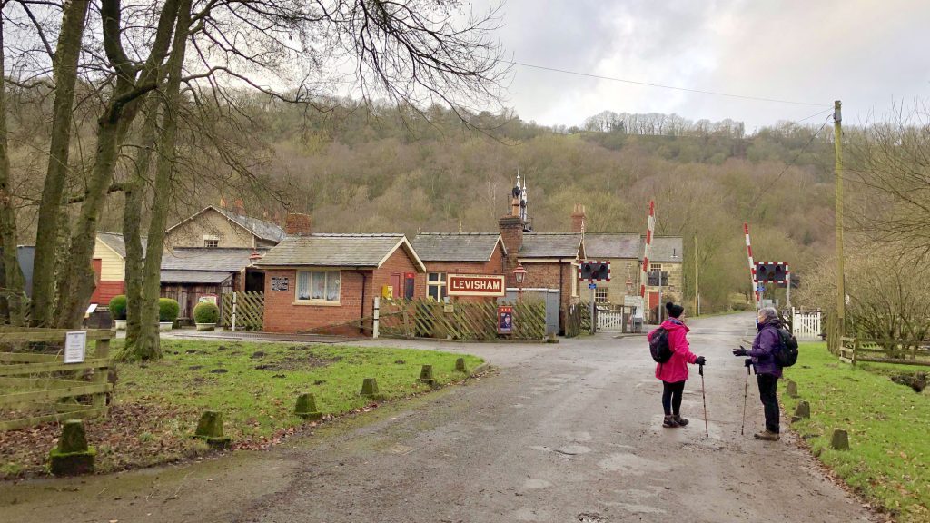
The view north-west down to Levisham Station and through the Newton Dale valley.
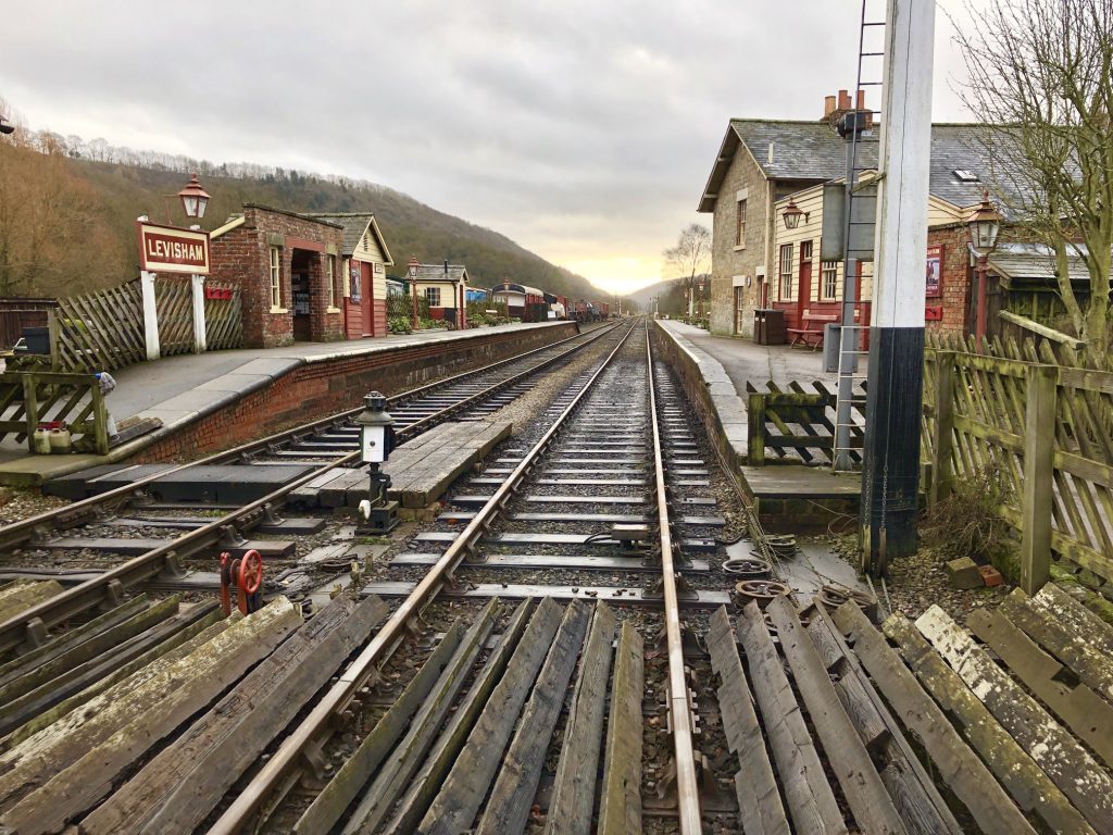
Levisham Station, on George Stephenson’s Whitby to Pickering railway line.

Looking north-east from Newton Banks towards Levisham Bottoms.

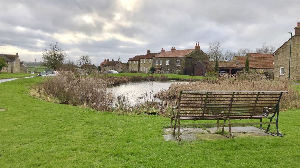
The village of Newton-on-Rawcliffe.
Lunch at Cawthorne Banks.
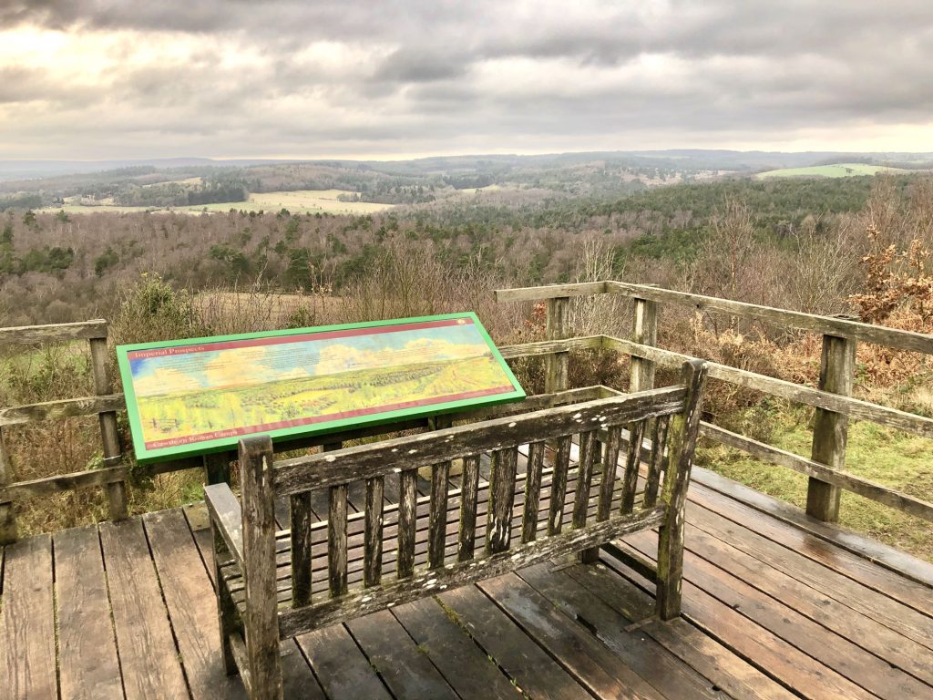
Viewing platform on the site of the Roman Practice Works, Cawthorne Banks.