ADVERTISEMENT
Explore Scenic Landscapes and Historic Paths on the Castleton Walk via Commondale
Start your Castleton walk in the North York Moors by parking just south of the bridge over the River Esk. Park on the grass verges beside the road, near the village cricket field. Cross back over the bridge, continue over the railway bridge, and proceed up the road. At the top, where the road bends right, turn left onto the Esk Valley Walk.
Commence your hike north-west towards Foul Green, passing Box Hall along the way. After Foul Green, continue on the minor road to Commondale. Then, venture west up the main road before taking a right onto a public footpath across Thunderbush Moor.
ADVERTISEMENT
Keep your direction north-west across the moorland, until you reach the edge of the open access area near The Intake. Turn east here, crossing High Moor to meet the Quakers’ Causeway. Recognisable by its ancient stone slabs, this path will guide you south-east.
Follow the Quakers’ Causeway, then briefly merge with the main road. At Three Howes Rigg, head east on a well-marked stone track for about 1½ miles. Turn south onto Siss Cross Road across Danby Low Moor to meet the Pannierman’s Causeway.
Proceed south-west on the Pannierman’s Causeway, wandering through the countryside to link up with the Esk Valley Walk. Take this trail west through Danby Park, a charming woodland, to finish your excursion in Castleton. This Castleton walk spans approximately 12½ miles through the North York Moors, offering a splendid exploration of the region’s scenic landscapes.
Castleton Walk: Maps and Tools
Visit either the OS Maps website or the Outdooractive website to view this walking route in greater detail. Both platforms offer a range of features, including the ability to print the route, download it to your device, and export the route as a GPX file. You can also watch a 3D fly-over and share the route on social media.
Castleton Walk: Distance, Duration, Statistics
Distance: 12½ miles
Distance: 20 kilometres
Duration: 5¾ hours
Ascent: 1343 feet
Ascent: 409 metres
Type: Circular walk
About Castleton
Castleton, located in North Yorkshire, is a picturesque village on the River Esk in the North York Moors. It is part of the civil parish of Danby, and is about seven miles south-east of Guisborough. A medieval castle once stood on Castle Hill, likely abandoned after the construction of Danby Castle.
The village has a local school, a church, and two pubs. Additionally, there is a small supermarket, a tea room, and public toilets. Castleton is renowned as a hub for walking, birdwatching, shooting, and various other activities. The name ‘Castleton’ is thought to originate from a castle near the River Esk. A Clapper bridge crosses Danby Beck in the village, granted Grade II listed status in 2016.
Education in Castleton includes a primary school, Castleton Community Primary School. For secondary education, students attend either Caedmon College or Eskdale School, both in Whitby. Historically, Castleton was the primary market and industrial centre for Upper Eskdale. It hosted annual fairs for wool, cheese, and cattle, alongside a cheese market and a silk mill. Every September, a show takes place in Castleton on the second Saturday of the month.
The Esk Valley Walk passes through Castleton, and part of it is used for the Castleton walk described on this page. The Danby Hand of Glory, a severed hand, was discovered in a thatched cottage wall in 1935. It is now displayed at the Whitby Museum in Pannett Park, Whitby.
In 1772, John Wesley, the preacher and founder of Methodism, preached in Castleton. A sundial on Primrose Hill on the High Street commemorates this event. Castleton Cricket Club, founded in 1972, is located on the northern edge of the village along New Road. This is the starting point of this Castleton walk. The club fields two senior teams: a Saturday 1st XI in the Langbaurgh Cricket League and a Midweek Senior XI in the Esk Valley Evening League.
Recommended Ordnance Survey Map
The best map to use on this walk is the Ordnance Survey map of the North York Moors Western Area, reference OS Explorer OL26, scale 1:25,000. It clearly displays footpaths, rights of way, open access land and vegetation on the ground, making it ideal for walking, running and hiking. The map can be purchased from Amazon in either a standard, paper version or a weatherproof, laminated version, as shown below.
North York Moors Walking Guidebooks
The North York Moors, by Paddy Dillon, describes 50 walks of 4 to 14 miles across the Tabular Hills, Hambleton Hills, Cleveland Hills, high moors and Cleveland coast, plus the Lyke Wake Walk in four stages, with Ordnance Survey mapping and notes on transport and refreshments.
North York Moors Short Walks Made Easy, published by Ordnance Survey, brings together 10 accessible routes of 2.5 to 4.5 miles, each taking around a couple of hours, ideal for families or anyone short on time. Both books can be purchased from Amazon, as shown below.
Walking the North York Moors
The North York Moors, by Paddy Dillon, a Cicerone guidebook of 50 walks throughout the National Park
Castleton Walk: My Photos
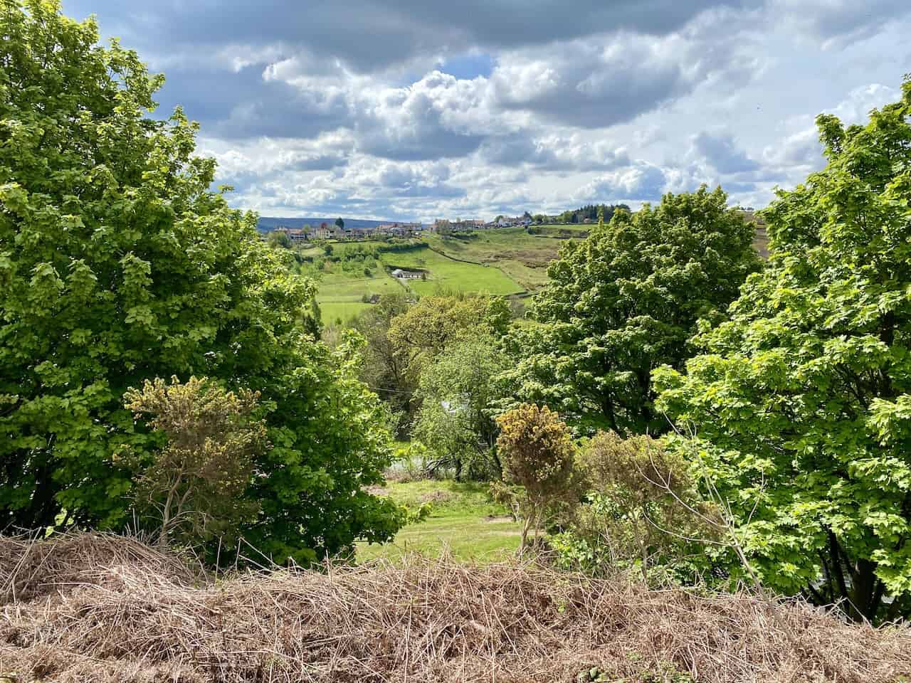
Looking down into the Commondale Beck valley, shortly after the start of the Castleton walk.
ADVERTISEMENT
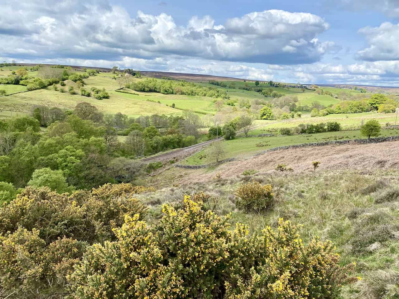
The Esk Valley Railway between Commondale and Castleton.
ADVERTISEMENT
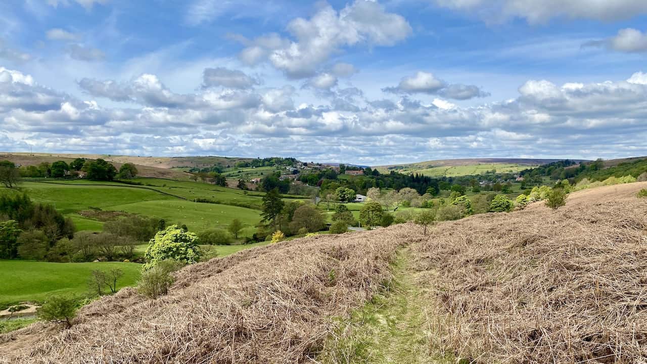
Thunderbush Moor, about a quarter of the way the Castleton walk.
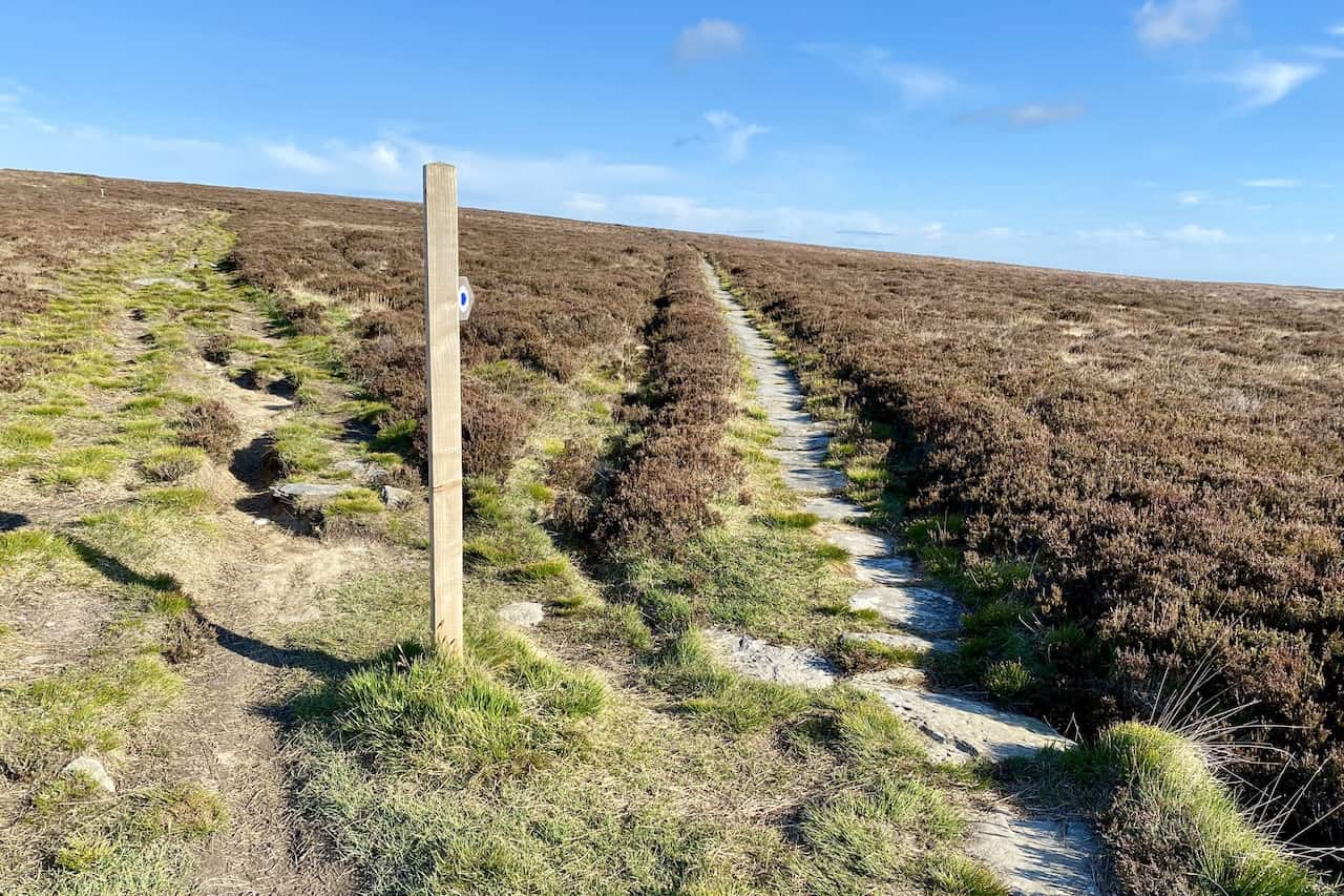
The stone path, known as the Quakers’ Causeway, across Stanghow Moor.
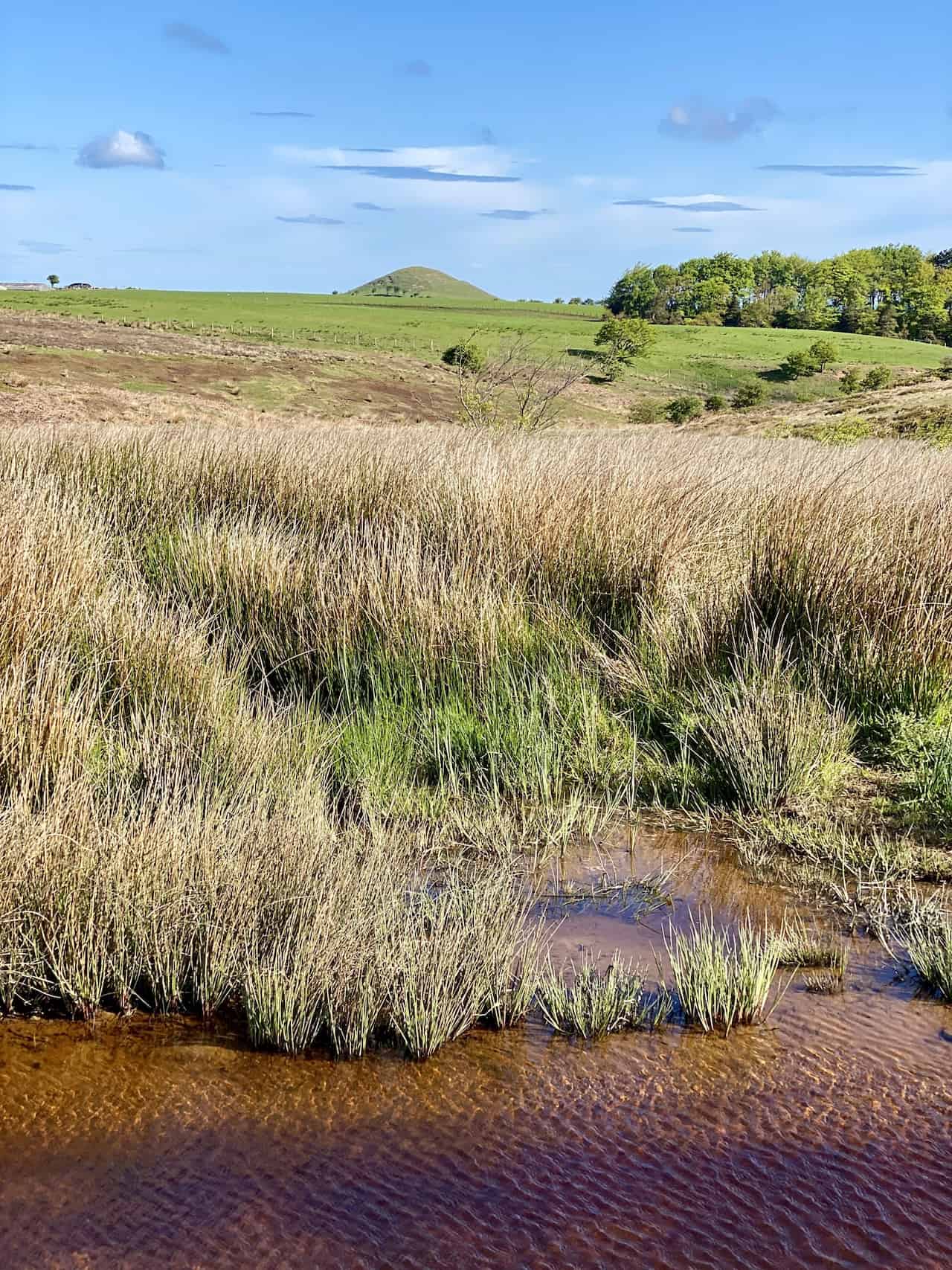
The view north across Tomgate Moor towards Freebrough Hill.
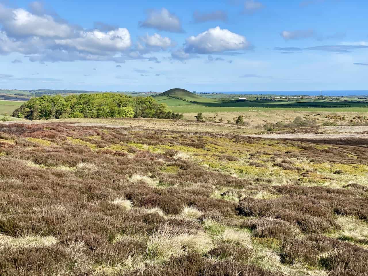
Tomgate Moor and Freebrough Hill, with the North Sea just visible on the horizon.
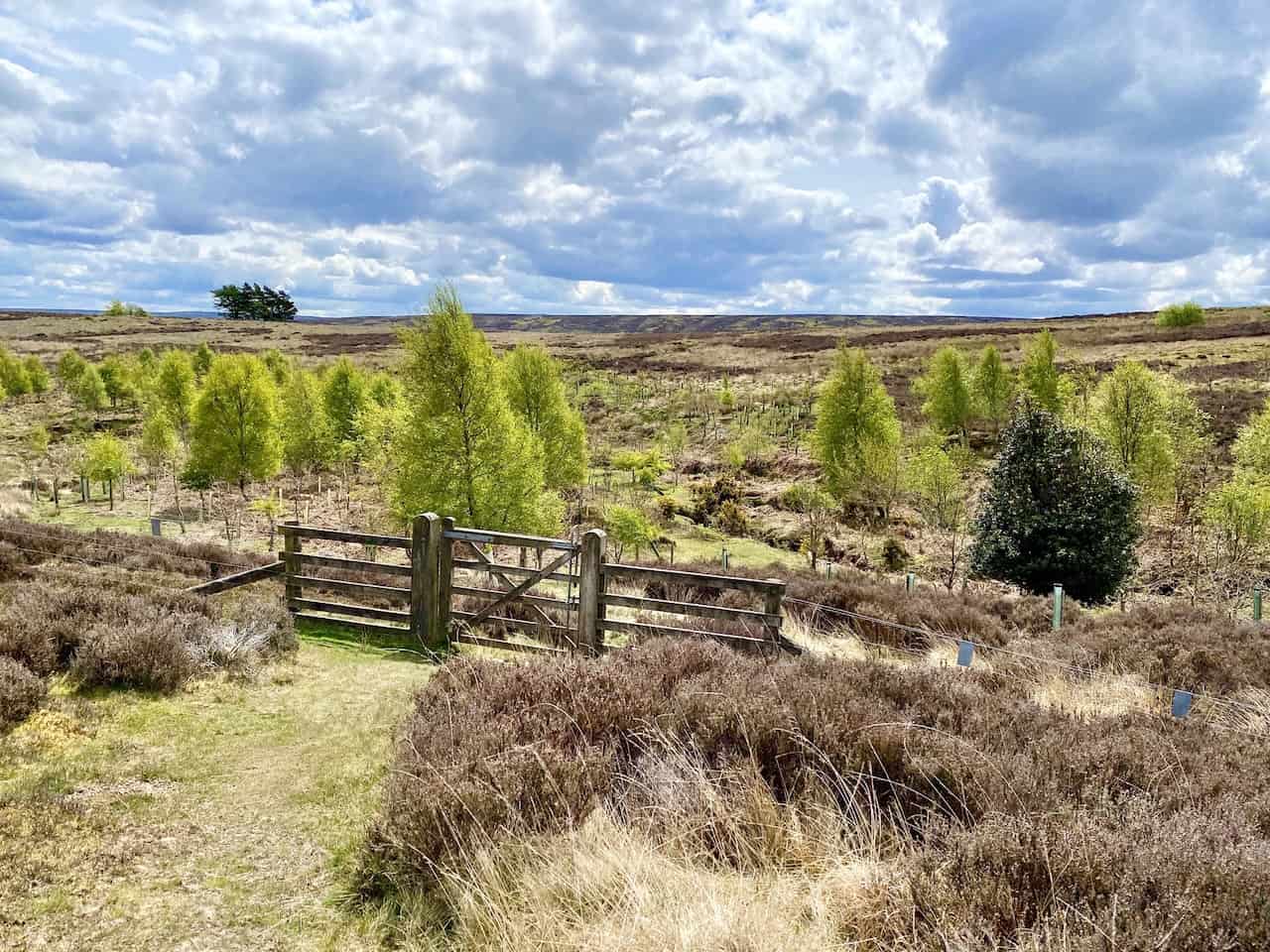
Danby Dale comes into view as I head south across Danby Low Moor on Siss Cross Road (Path). This is about three-quarters of the way round the Castleton walk.
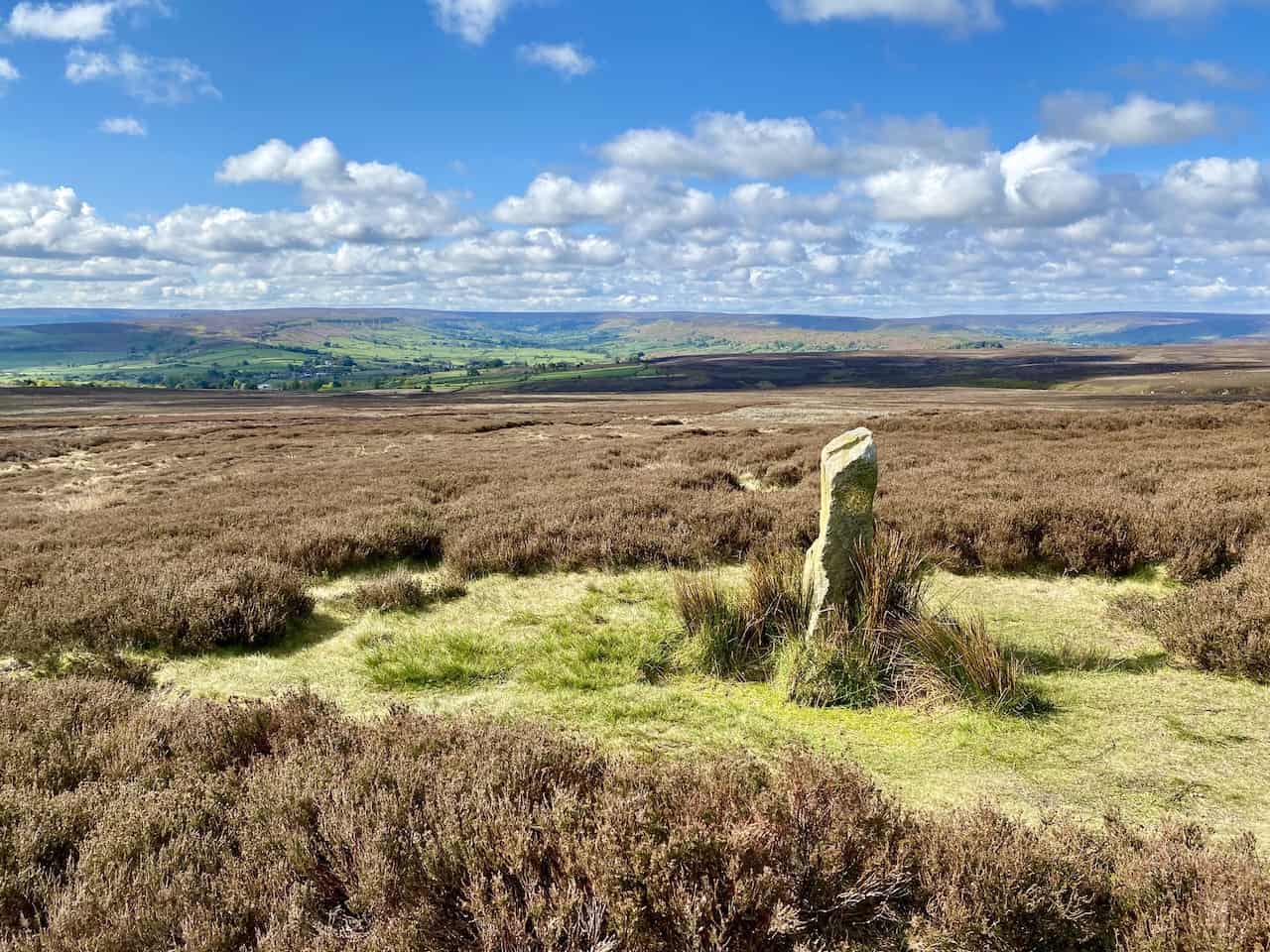
The view of Danby Dale from Rosedale Intake, with Castleton Rigg on the horizon.
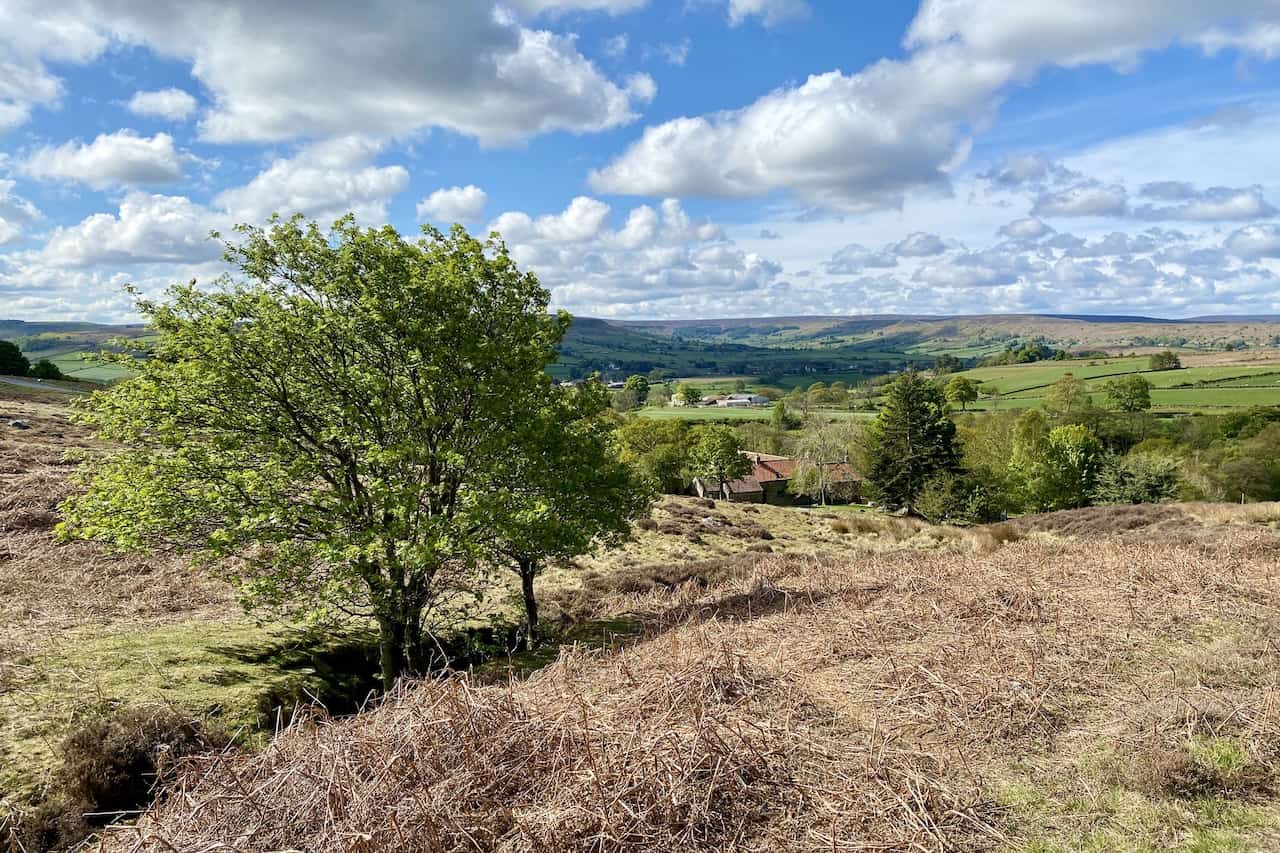
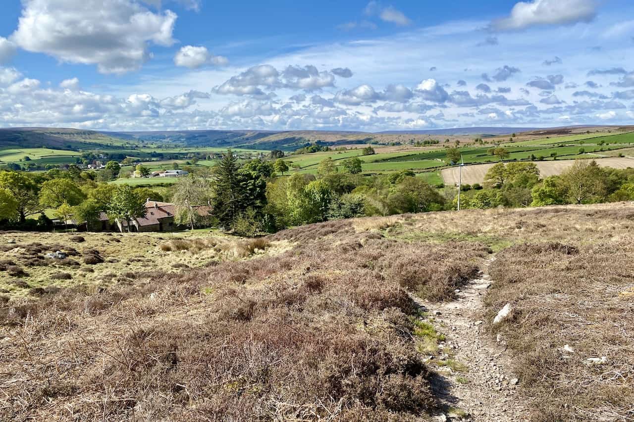
The Pannierman’s Causeway (Path).
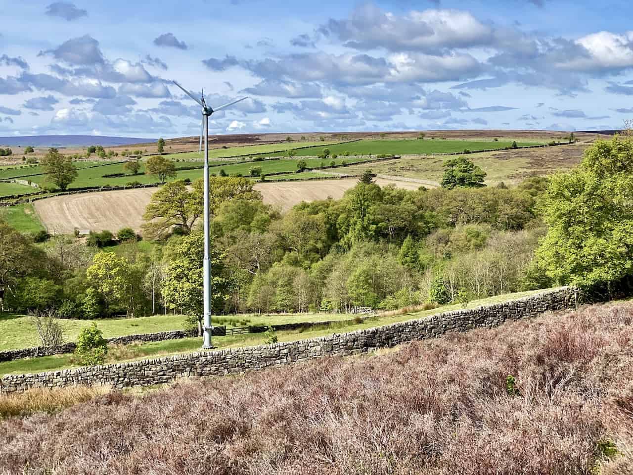
Wind turbine near Rosedale Intake.
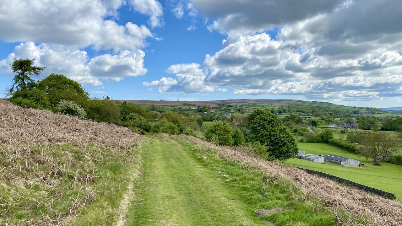
The view east from the Esk Valley Walk towards the village of Danby.
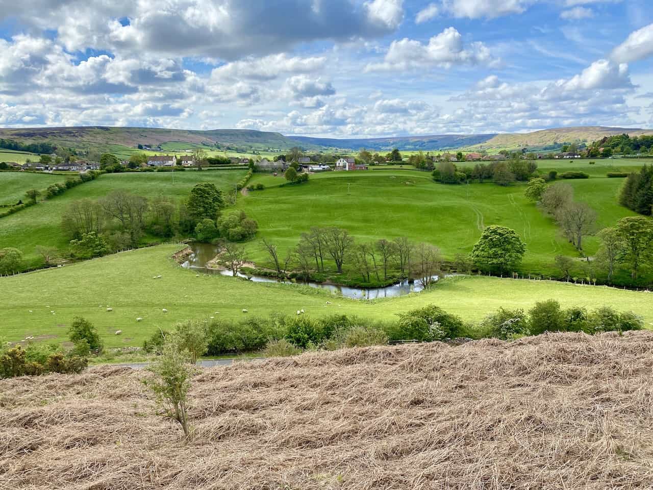
The River Esk meandering through Esk Dale.
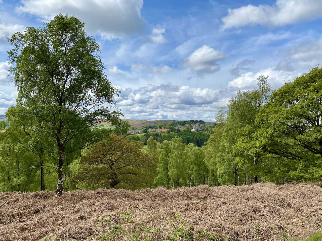
The village of Castleton as seen from the Esk Valley Walk just west of Danby.
A gap in the trees at Danby Park reveals a view of High Castleton.
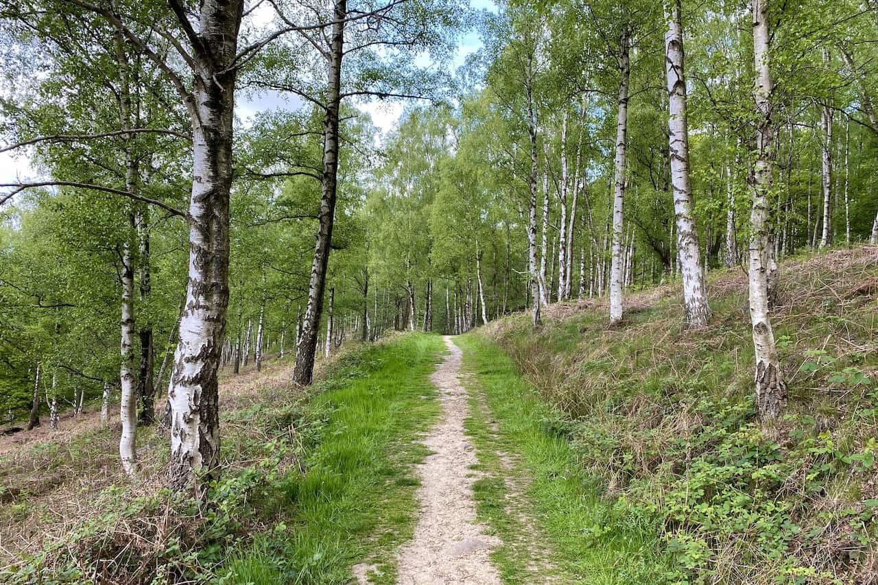
The Esk Valley Walk through Danby Park. This beautiful area of Silver Birch woodland is one of the many highlights of the Castleton walk.
The houses of High Castleton perched on the hillside.