ADVERTISEMENT
Your Ultimate Guide to the Best Walks in Yorkshire and Cumbria
A collection of walking routes, photographs, interactive maps, reviews and articles. The walks are in Yorkshire, Cumbria and elsewhere in Northern England and are generally between 8 and 12 miles long, though shorter and longer routes are also available. Areas include the Yorkshire Dales and Nidderdale, the North York Moors and Yorkshire Coast, and the North Pennines and Lake District.
Breathtaking Scenery on the Best Walks in Yorkshire and Cumbria
North of England walking routes shown on accurate topographic maps in areas such as the North York Moors and Yorkshire Dales National Parks, and the Howardian Hills and North Pennines Areas of Outstanding Natural Beauty. Routes, maps and photographs can be printed and GPX files can be downloaded free of charge.
View All Walks
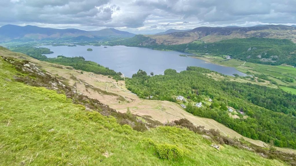
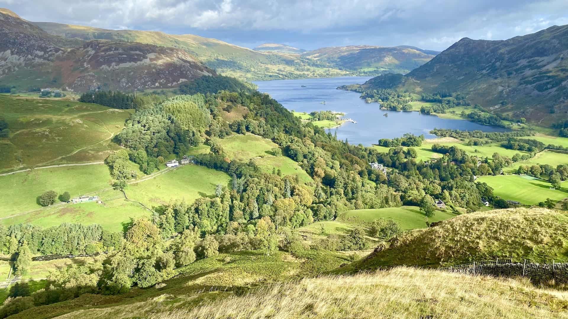
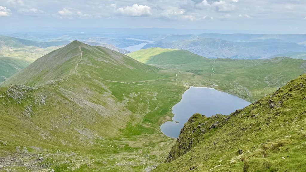
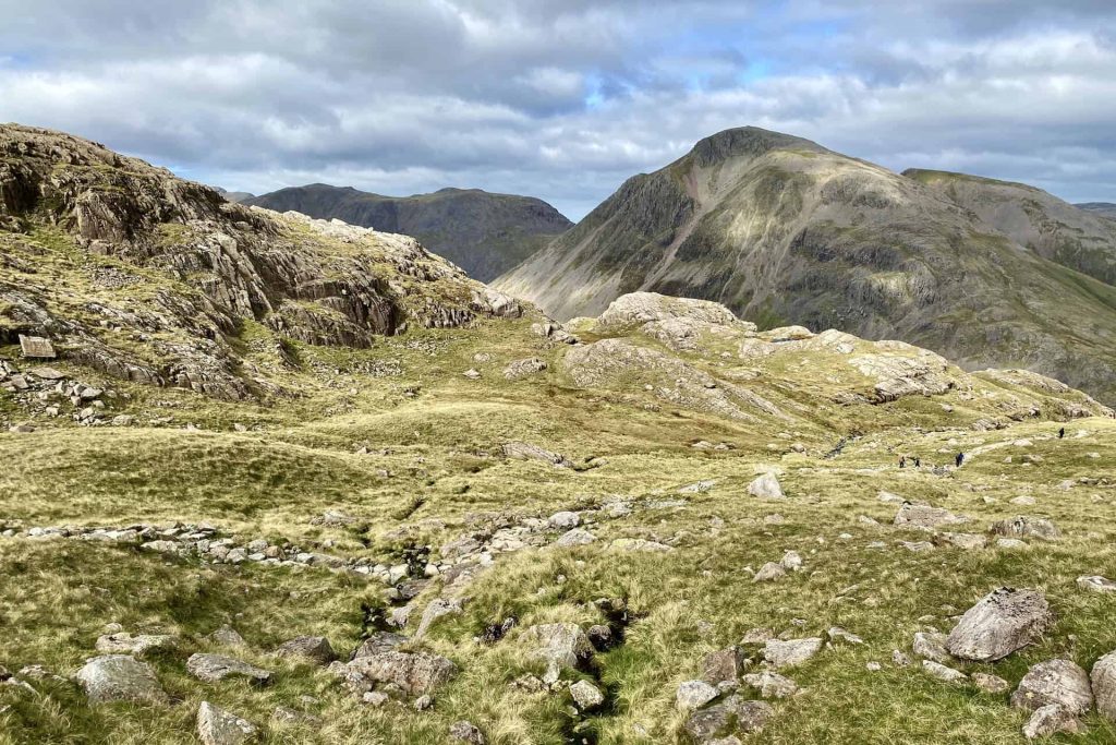
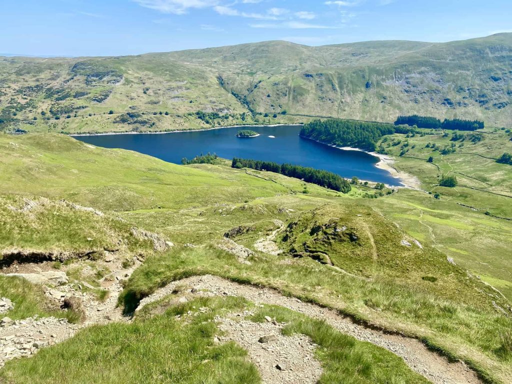
Lake District

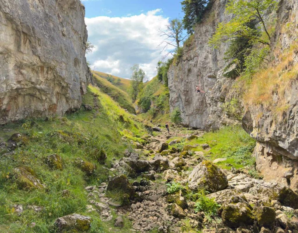
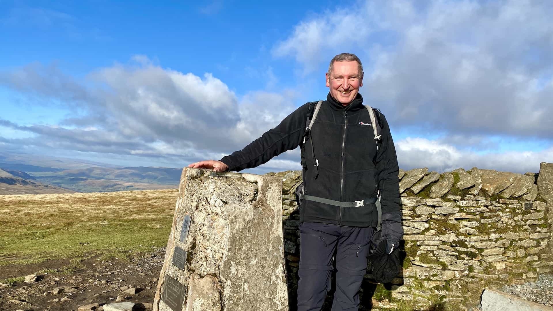
Yorkshire Dales
North York Moors
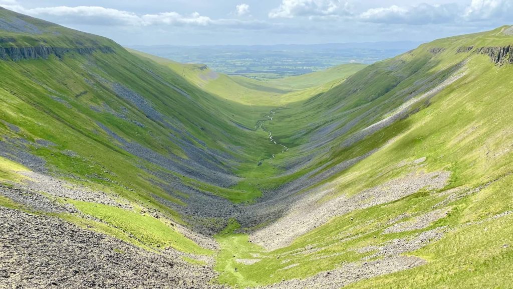
North Pennines

Nidderdale
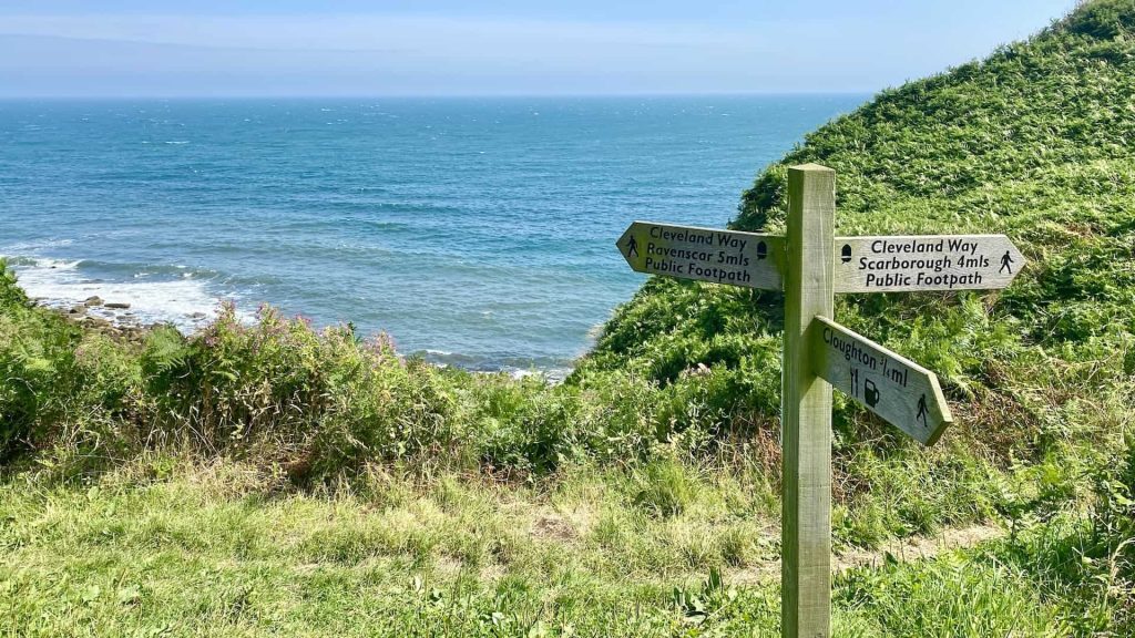
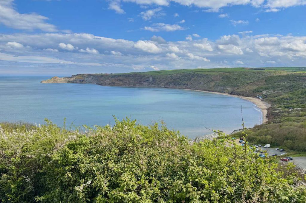
Yorkshire Coast
Explore and Experience My 50 Newest Walks in Yorkshire and Cumbria
A summary of my 50 most recent walks, presented in date order and updated on a regular basis.
View Recent Walks
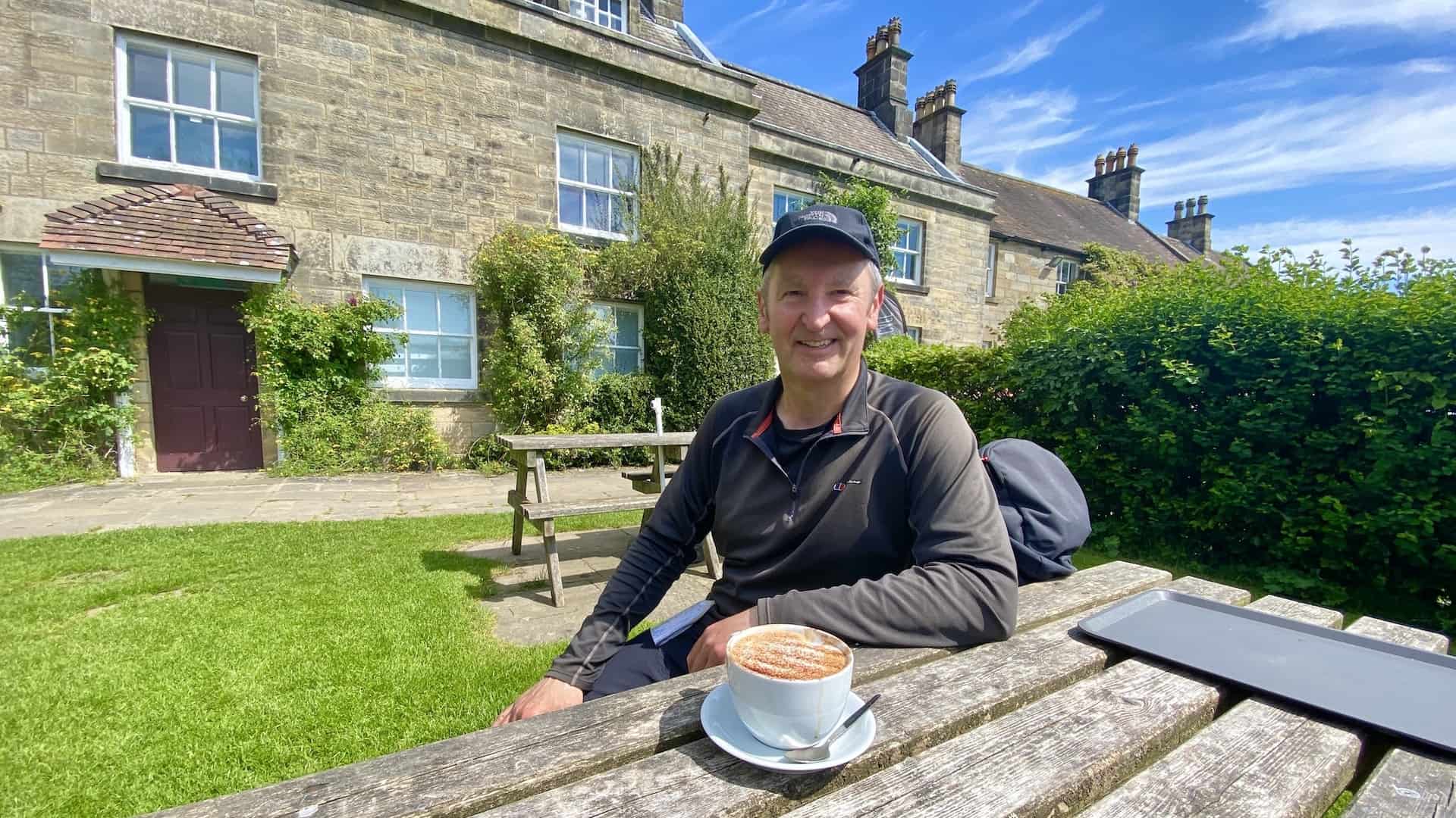
Trollers Gill Walk: Grimwith Reservoir to High Skyreholme Circular
Friday 31 July 2026
Yorkshire Dales
8 miles
View This Walk
Yorke’s Folly Walk: Nidderdale Moorland, Tarn and Riverside Loop
Monday 27 July 2026
Nidderdale
5 miles
View This Walk
Brimham Rocks Walk: From Pateley Bridge via the Nidderdale Way
Tuesday 21 July 2026
Nidderdale
9 miles
View This Walk
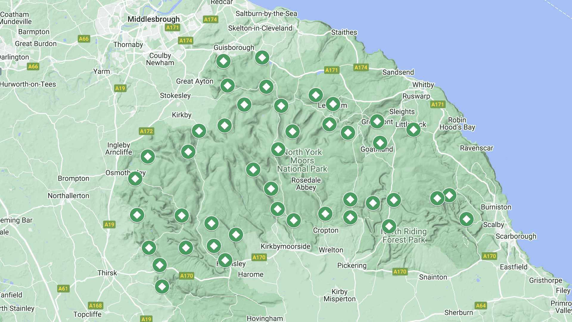
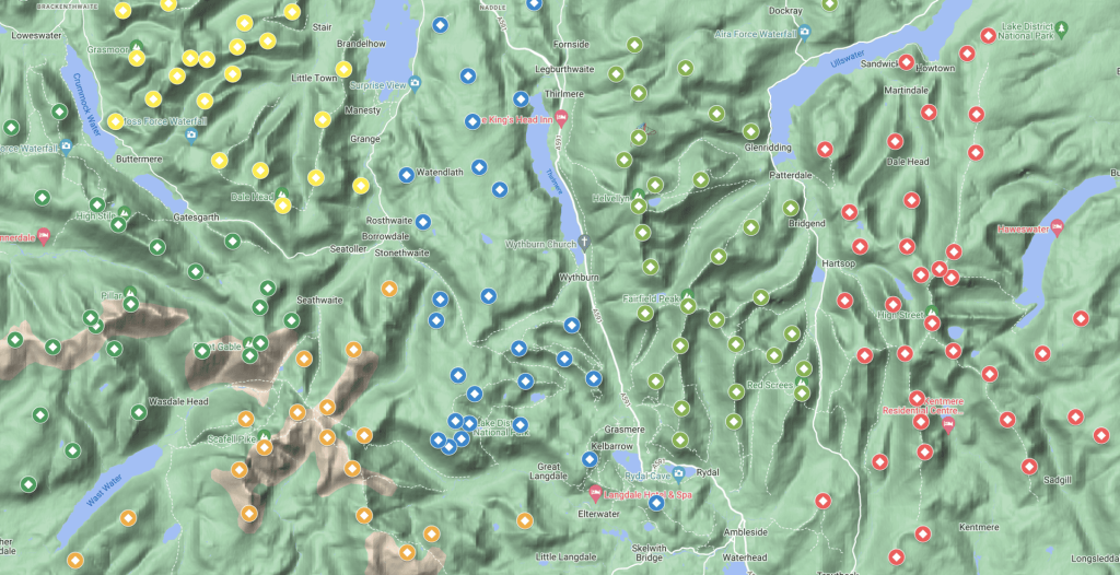
Find Walks in Yorkshire and Cumbria with My Interactive Maps
Eight interactive maps created with the Google My Maps application. Map markers indicate the location of a walking route and a link to its page on my website.
View Interactive Maps
A Trail of Memories from Circular Walks in Yorkshire and Cumbria
Memorable observations and events in the Yorkshire Dales, North York Moors, Lake District, North Pennines and other regions of Yorkshire and Northern England. My journal entries are shared on Facebook, Instagram, X, Pinterest, Flickr, and Tumblr.
View Diary
Insights and Stories from the Yorkshire and Cumbria Trails
Weblog stories, reviews and information inspired by walking in and exploring the beautiful landscape of Northern England.
View Weblog
Let’s Talk about the Best Circular Walks in Yorkshire and Cumbria
If you enjoy walking and would like to make a comment or ask a question, please feel free to contact me.
View Contact Page
ADVERTISEMENT