ADVERTISEMENT
Breathtaking Scenery on the Best Walks in North Yorkshire and Cumbria
From this page, you can access maps and photographs of walking routes in Yorkshire, Cumbria, and elsewhere in Northern England. The areas I have covered include the Lake District, North York Moors, and Yorkshire Dales National Parks, as well as the Howardian Hills, Nidderdale, and North Pennines AONBs (Areas of Outstanding Natural Beauty), showcasing the best walks in North Yorkshire and Cumbria.
ADVERTISEMENT
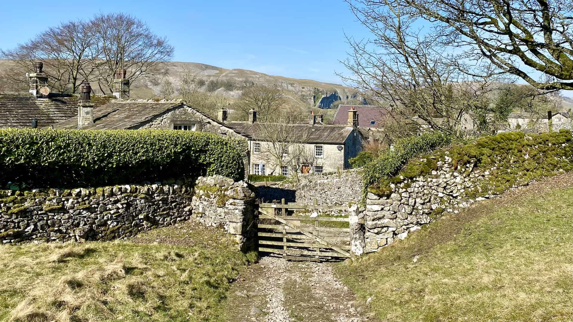
Howardian Hills Walking Routes
The Howardian Hills Area of Outstanding Natural Beauty (AONB) covers 79 square miles of the North Yorkshire countryside, nestled between the North York Moors National Park, the Yorkshire Wolds, and the Vale of York. This area offers some of the most picturesque walking routes in the region.
View Howardian Hills Walking Routes
ADVERTISEMENT
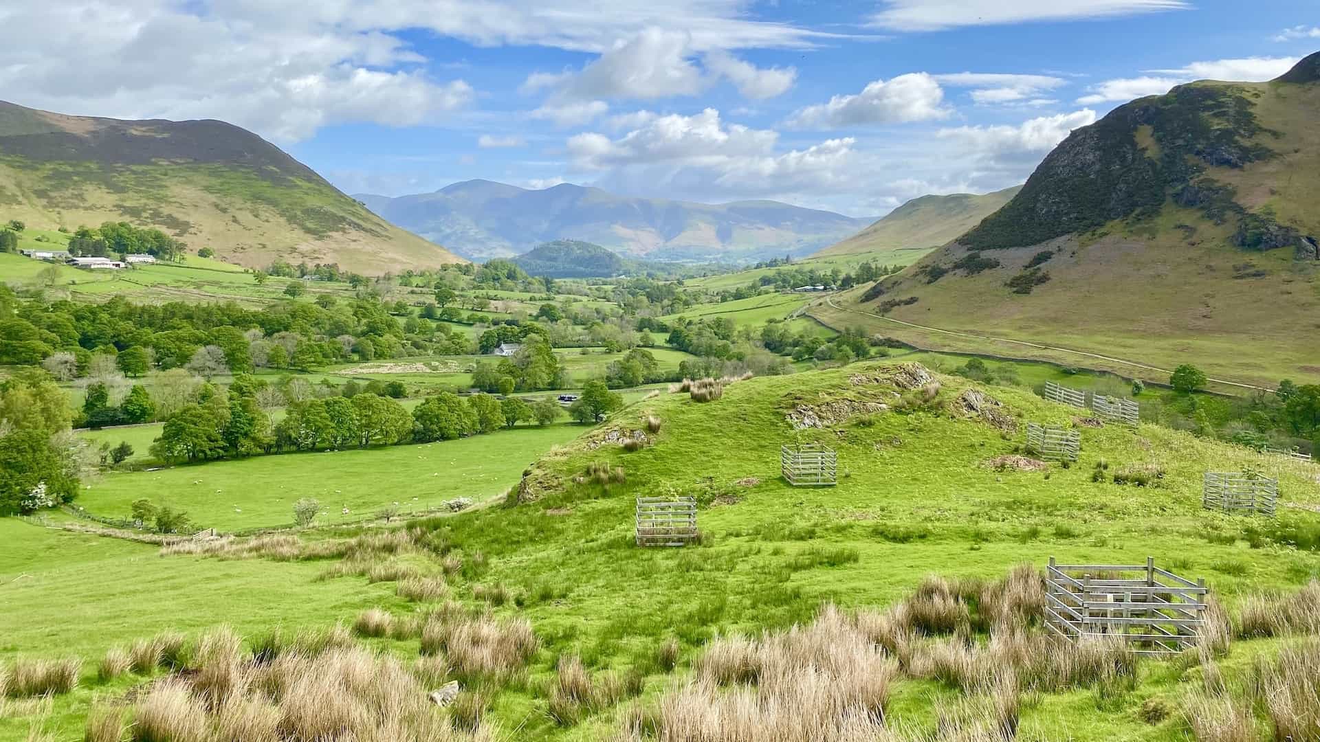
Lake District Walking Routes
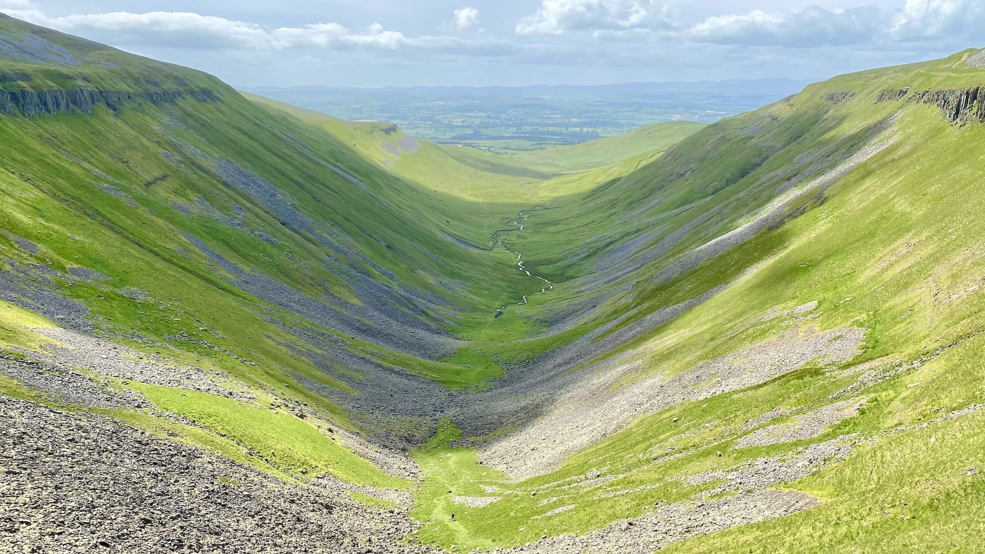
Entirely located within the county of Cumbria, in North West England, the Lake District National Park covers an area of over 900 square miles. Established as a national park in 1951, it was designated a UNESCO World Heritage Site in 2017, making it a must-visit for enthusiasts of the best walks in Cumbria.
View Lake District Walking Routes
ADVERTISEMENT
Nidderdale Walking Routes
Bordering the Yorkshire Dales National Park to the east and south, the Nidderdale Area of Outstanding Natural Beauty (AONB) in North Yorkshire covers an area of 233 square miles. It comprises most of Nidderdale itself, as well as small parts of Wharfedale, the Washburn Valley, and Wensleydale, offering diverse walking experiences.
View Nidderdale Walking Routes
ADVERTISEMENT
North Pennines Walking Routes
One of the most remote and unspoilt areas in England, the North Pennines AONB lies between the Yorkshire Dales and Northumberland National Parks. Covering almost 770 square miles, it is the second-largest AONB in the United Kingdom and is renowned for its breathtaking landscapes.
View North Pennines Walking Routes
North York Moors Walking Routes
An upland region in North Yorkshire, the North York Moors National Park covers an area of 554 square miles. It is defined by the impressive cliffs of the North Sea coast to the east, the steep slopes of the Cleveland Hills to the west and north, and the Tabular Hills and the Vale of Pickering to the south, presenting a wide range of walking opportunities.
View North York Moors Walking Routes
ADVERTISEMENT
Yorkshire Coast Walking Routes
Spanning over 100 miles, the Yorkshire Coast is a unique and beautiful stretch of Northern England’s coastline. From the River Tees Mouth north of Middlesbrough to the Mouth of the Humber south-east of Hull, it features a string of lovely seaside resorts such as Redcar, Saltburn, Whitby, Scarborough, Filey, Bridlington, and Hornsea.
View Yorkshire Coast Walking Routes
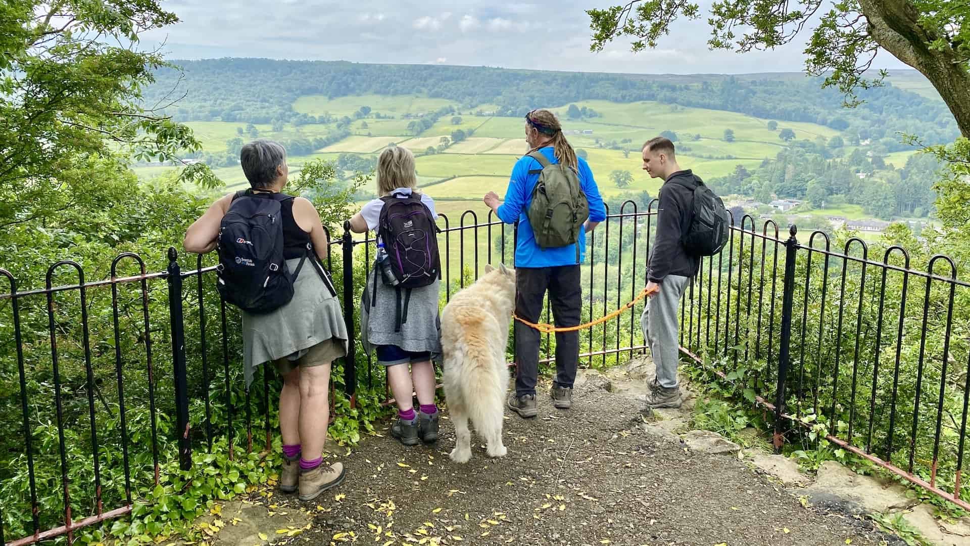
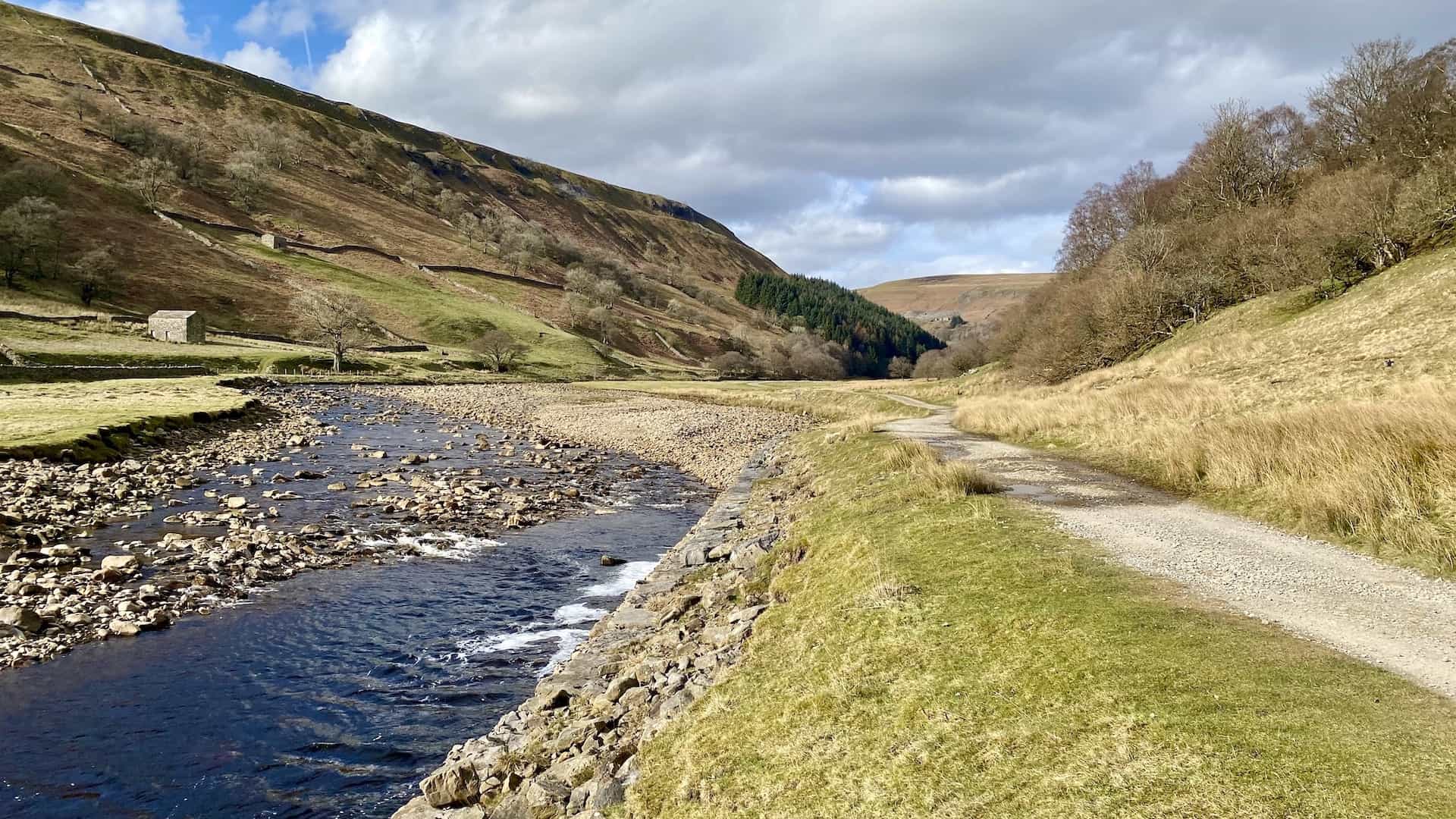
Yorkshire Dales Walking Routes
Primarily located in North Yorkshire, the Yorkshire Dales National Park covers 841 square miles, with a significant area in Cumbria and a small part in Lancashire. Its national park status was designated in 1954, and it was extended westward into Lancashire and Cumbria in 2016. Many of the best walks in North Yorkshire are within the Yorkshire Dales National Park.
View Yorkshire Dales Walking Routes
ADVERTISEMENT
Northern England Walking Routes
Northern England’s landscape has been significantly shaped by the Pleistocene ice sheets thousands of years ago, creating a diverse and fascinating landscape that offers some of the best walks in North Yorkshire and Cumbria.
View Northern England Walking Routes
All the Yorkshire and Cumbria Walking Routes
Below, I’ve listed all the best walks in North Yorkshire and Cumbria in alphabetical order. Click or tap on a route name for more information. The tables include approximately 200 walks I’ve described in detail on my website, plus many more I’ve written about on my blog.
The approximate length of each walking route is shown in miles and kilometres, and its duration is calculated by allowing one hour for every 2½ miles walked, plus additional time for the ups and downs. Factors such as bad weather or boggy ground can further lengthen the time taken, but this is not accounted for in my figures.
Also displayed are the titles of the appropriate Ordnance Survey Explorer maps, which you can purchase from Amazon at a very reasonable price. As an Amazon Associate, I earn from qualifying purchases at no extra cost to you. Your support enables me to continue sharing free content. Thank you for your help!
Howardian Hills Walks: Historic Paths and Landmarks
| Howardian Hills Walks | Miles | Kilometres | Time | Map |
|---|---|---|---|---|
| Castle Howard Walk | 12.3 miles | 19.9 kilometres | 5½ hours | OS Explorer 300 |
| Coneysthorpe Walk | 14.7 miles | 23.7 kilometres | 6½ hours | OS Explorer 300 |
| Hovingham Walk | 9.1 miles | 14.8 kilometres | 4 hours | OS Explorer 300 |
| Howardian Hills Walk | 12.5 miles | 20.2 kilometres | 5¼ hours | OS Explorer 300 |
| Sheriff Hutton Walk | 9.9 miles | 16.0 kilometres | 4½ hours | OS Explorer 300 |
ADVERTISEMENT
Lake District Walks: The Ultimate Hiking Experience
| Lake District Walks | Miles | Kilometres | Time | Map |
|---|---|---|---|---|
| Ard Crags Walk | 8.2 miles | 13.2 kilometres | 5 hours | OS Explorer OL4 |
| Bannerdale Crags Walk | 10.6 miles | 17.0 kilometres | 5¾ hours | OS Explorer OL5 |
| Barf Walk | 10.2 miles | 16.4 kilometres | 6 hours | OS Explorer OL4 |
| Bowscale Tarn Walk | 11.1 miles | 17.9 kilometres | 6 hours | OS Explorer OL5 |
| Carrock Fell Walk | 10.5 miles | 16.8 kilometres | 5¾ hours | OS Explorer OL5 |
| Causey Pike Walk | 12.0 miles | 19.3 kilometres | 7½ hours | OS Explorer OL4 |
| Coledale Horseshoe | 12.2 miles | 19.6 kilometres | 8¼ hours | OS Explorer OL4 |
| Deepdale Horseshoe | 9.4 miles | 15.1 kilometres | 5½ hours | OS Explorer OL5 |
| Derwent Water Circular Walk | 9.9 miles | 15.9 kilometres | 4½ hours | OS Explorer OL4 |
| Gowbarrow Fell Walk | 6.9 miles | 11.1 kilometres | 4½ hours | OS Explorer OL5 |
| Grasmoor Walk | 8.4 miles | 13.5 kilometres | 4¾ hours | OS Explorer OL4 |
| Great Dodd Walk | 12.0 miles | 19.3 kilometres | 7 hours | OS Explorer OL5 |
| Great Gable Walk | 6.0 miles | 9.7 kilometres | 4 hours | OS Explorer OL4 |
| Grisedale Pike Walk | 8.5 miles | 13.6 kilometres | 5 hours | OS Explorer OL4 |
| Hart Crag Walk | 8.1 miles | 13.0 kilometres | 5 hours | OS Explorer OL5 |
| Helvellyn Circular Walk | 11.3 miles | 18.1 kilometres | 6½ hours | OS Explorer OL5 |
| Helvellyn Walk Striding Edge | 10.5 miles | 16.9 kilometres | 5¾ hours | OS Explorer OL5 |
| Helvellyn Walk Glenridding | 11.8 miles | 19.0 kilometres | 6½ hours | OS Explorer OL5 |
| Helvellyn Walk Thirlmere | 6.9 miles | 11.1 kilometres | 4¼ hours | OS Explorer OL5 |
| High Stile Walk | 7.5 miles | 12.2 kilometres | 4¼ hours | OS Explorer OL4 |
| Kentmere Horseshoe | 12.6 miles | 20.3 kilometres | 7 hours | OS Explorer OL7 |
| Loughrigg Fell Walk | 7.7 miles | 12.4 kilometres | 4½ hours | OS Explorer OL7 |
| Mellbreak Walk | 8.1 miles | 13.0 kilometres | 4¼ hours | OS Explorer OL4 |
| Newlands Horseshoe Walk | 10.5 miles | 16.6 kilometres | 6 hours | OS Explorer OL4 |
| Newlands Horseshoe | 9.5 miles | 15.3 kilometres | 5½ hours | OS Explorer OL4 |
| Place Fell Walk | 8.6 miles | 13.8 kilometres | 4¾ hours | OS Explorer OL5 |
| Red Pike Walk | 8.6 miles | 13.8 kilometres | 5 hours | OS Explorer OL4 |
| Stony Cove Pike Walk | 8.7 miles | 14.0 kilometres | 5½ hours | OS Explorer OL5 |
| Stybarrow Dodd Walk | 10.0 miles | 16.1 kilometres | 5¾ hours | OS Explorer OL5 |
| Ullswater Walk | 12.2 miles | 19.6 kilometres | 6½ hours | OS Explorer OL5 |
| Walla Crag Walk | 10.5 miles | 16.8 kilometres | 5 hours | OS Explorer OL4 |
Nidderdale Walks: Breathtaking Trails to Explore
ADVERTISEMENT
North Pennines Walks: Unforgettable Routes to Enjoy
| North Pennines Walks | Miles | Kilometres | Time | Map |
|---|---|---|---|---|
| Barnard Castle Walk | 13.2 miles | 21.2 kilometres | 6 hours | OS Explorer OL31 |
| Bowes Walk | 13.1 miles | 21.1 kilometres | 6 hours | OS Explorer OL31 |
| Cross Fell Walk | 12.4 miles | 20.0 kilometres | 6½ hours | OS Explorer OL31 |
| High Cup Nick Walk | 11.5 miles | 18.5 kilometres | 5¾ hours | OS Explorer OL19 |
| High Cup Nick Circular Walk | 11.3 miles | 18.2 kilometres | 5¾ hours | OS Explorer OL19 |
| High Force Walk | 8.2 miles | 13.2 kilometres | 4 hours | OS Explorer OL31 |
| High Force Waterfall Walk | 7.2 miles | 11.6 kilometres | 3¼ hours | OS Explorer OL31 |
| Low Force High Force Walk | 5.5 miles | 8.8 kilometres | 2¾ hours | OS Explorer OL31 |
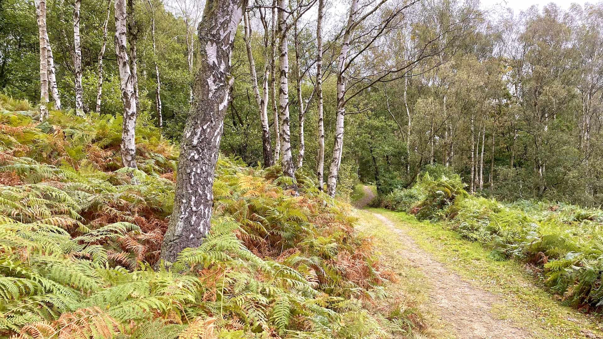
North York Moors Walks: Ancient Woodlands and Scenic Paths
Yorkshire Coast Walks: Exploring Seaside Towns
| Yorkshire Coast Walks | Miles | Kilometres | Time | Map |
|---|---|---|---|---|
| Ravenscar Walk | 8.6 miles | 13.9 kilometres | 4¼ hours | OS Explorer OL27 |
| Hayburn Wyke Walk | 9.2 miles | 14.7 kilometres | 4½ hours | OS Explorer OL27 |
| Robin Hood’s Bay Walk | 9.2 miles | 14.7 kilometres | 4¼ hours | OS Explorer OL27 |
| Cloughton Wyke Walk | 8.7 miles | 14.0 kilometres | 4¼ hours | OS Explorer OL27 |
| Runswick Bay Walk | 8.1 miles | 13.1 kilometres | 4 hours | OS Explorer OL27 |
| Whitby Walk | 13.1 miles | 21.1 kilometres | 6¼ hours | OS Explorer OL27 |
ADVERTISEMENT
Yorkshire Dales Walks: Picturesque Hikes for Adventurers
| Yorkshire Dales Walks | Miles | Kilometres | Time | Map |
|---|---|---|---|---|
| Aysgarth Falls Walk | 2.8 miles | 4.4 kilometres | 1¼ hours | OS Explorer OL30 |
| Aysgarth Walk | 8.9 miles | 14.3 kilometres | 4¼ hours | OS Explorer OL30 |
| Barden Moor Walk | 11.7 miles | 18.7 kilometres | 5½ hours | OS Explorer OL2 |
| Bolton Castle Walk | 9.4 miles | 15.1 kilometres | 4½ hours | OS Explorer OL30 |
| Buckden Pike Walk | 8.1 miles | 13.0 kilometres | 4¼ hours | OS Explorer OL30 |
| Buckden Walk | 11.2 miles | 17.9 kilometres | 5¾ hours | OS Explorer OL30 |
| Dent Walk | 4.7 miles | 7.6 kilometres | 2½ hours | OS Explorer OL2 |
| Dentdale Walk | 10.9 miles | 17.5 kilometres | 5½ hours | OS Explorer OL2 |
| Fremington Edge Walk Reeth | 7.6 miles | 12.2 kilometres | 4 hours | OS Explorer OL30 |
| Fremington Edge Walk Langthwaite | 9.5 miles | 15.2 kilometres | 4¾ hours | OS Explorer OL30 |
| Grassington Walk | 8.4 miles | 13.5 kilometres | 4 hours | OS Explorer OL2 |
| Great Coum Walk | 9.0 miles | 14.5 kilometres | 4¼ hours | OS Explorer OL2 |
| Gunnerside Gill Walk | 7.0 miles | 11.2 kilometres | 3¼ hours | OS Explorer OL30 |
| Hawes Mosaic Walk | 10.8 miles | 17.3 kilometres | 5 hours | OS Explorer OL30 |
| Hawes Walk | 12.2 miles | 19.7 kilometres | 5¾ hours | OS Explorer OL30 |
| Hebden Circular Walk | 4.7 miles | 7.5 kilometres | 2¼ hours | OS Explorer OL2 |
| Hebden Walk | 8.4 miles | 13.5 kilometres | 3¾ hours | OS Explorer OL2 |
| Ingleborough Walk | 10.4 miles | 16.6 kilometres | 5½ hours | OS Explorer OL2 |
| Kettlewell Walk | 8.9 miles | 14.4 kilometres | 4¾ hours | OS Explorer OL30 |
| Linton Walk | 10.8 miles | 17.4 kilometres | 5¼ hours | OS Explorer OL2 |
| Malham Tarn Walk | 11.9 miles | 19.0 kilometres | 5¾ hours | OS Explorer OL2 |
| Muker Keld Walk | 6.2 miles | 9.9 kilometres | 3¼ hours | OS Explorer OL30 |
| Muker Walk | 8.1 miles | 13.1 kilometres | 4¼ hours | OS Explorer OL30 |
| Pen-y-ghent Walk | 7.6 miles | 12.2 kilometres | 4 hours | OS Explorer OL2 |
| Penhill Walk | 8.2 miles | 13.2 kilometres | 4 hours | OS Explorer OL30 |
| Semer Water Walk | 12.3 miles | 19.8 kilometres | 6 hours | OS Explorer OL30 |
| Simon’s Seat Walk | 10.7 miles | 17.2 kilometres | 5½ hours | OS Explorer OL2 |
| Swaledale Walk | 10.4 miles | 16.6 kilometres | 5 hours | OS Explorer OL30 |
| Wensleydale Walk West Witton | 10.4 miles | 16.7 kilometres | 5 hours | OS Explorer OL30 |
| Wharfedale Walk | 9.4 miles | 15.1 kilometres | 4½ hours | OS Explorer OL30 |
| Whernside Circular Walk | 8.0 miles | 12.9 kilometres | 4¼ hours | OS Explorer OL2 |
| Whernside Walk | 10.1 miles | 16.2 kilometres | 5¼ hours | OS Explorer OL2 |
| Wild Boar Fell Walk | 10.5 miles | 16.9 kilometres | 5½ hours | OS Explorer OL19 |
| Yockenthwaite Walk | 7.0 miles | 11.3 kilometres | 3¼ hours | OS Explorer OL30 |
Northern England Walks: Scenic Countryside Routes
| Northern England Walks | Miles | Kilometres | Time | Map |
|---|---|---|---|---|
| Appleton-le-Moors Walk | 6.9 miles | 11.0 kilometres | 3¼ hours | OS Explorer OL27 |
| Great Ayton Walk | 9.2 miles | 14.7 kilometres | 4½ hours | OS Explorer OL26 |
| Leyburn Shawl Walk Bolton Castle | 11.1 miles | 17.9 kilometres | 5 hours | OS Explorer OL30 |
| Leyburn Shawl Walk Wensley | 6.7 miles | 10.7 kilometres | 3¼ hours | OS Explorer OL30 |
| North Yorkshire Walk | 12.1 miles | 19.5 kilometres | 5½ hours | OS Explorer 302 |
| Embsay Barden Moor Walk | 10.4 miles | 16.7 kilometres | 5¼ hours | OS Explorer OL2 |
| Gilling West Richmond Walk | 9.7 miles | 15.6 kilometres | 4¾ hours | OS Explorer 304 |
| Richmond Walk | 9.2 miles | 14.8 kilometres | 4¼ hours | OS Explorer 304 |
| Ripon Walk | 10.3 miles | 16.6 kilometres | 4½ hours | OS Explorer 298 |
| Skipton Gargrave Walk | 12.6 miles | 20.3 kilometres | 5¾ hours | OS Explorer OL2 |
| Tupgill Park Walk | 11.3 miles | 18.1 kilometres | 5 hours | OS Explorer OL30 |
| Wensleydale Walk Redmire Force | 9.2 miles | 14.8 kilometres | 4¼ hours | OS Explorer OL30 |
Best Walks in the North York Moors: 17 Scenic Routes to Explore
| Best Walks North York Moors | Miles | Kilometres | Time | Map |
|---|---|---|---|---|
| Beck Hole Walk | 8.9 miles | 14.4 kilometres | 4¼ hours | OS Explorer OL27 |
| Black Hambleton Walk | 11.0 miles | 17.8 kilometres | 5¼ hours | OS Explorer OL26 |
| Bridestones Walk | 10.3 miles | 16.5 kilometres | 4¾ hours | OS Explorer OL27 |
| Castleton and Danby Walk | 9.7 miles | 15.7 kilometres | 4¾ hours | OS Explorer OL26 |
| Cropton Forest Walk | 11.4 miles | 18.4 kilometres | 5¼ hours | OS Explorer OL27 |
| Falling Foss Walk | 9.7 miles | 15.7 kilometres | 4½ hours | OS Explorer OL27 |
| Farndale Walk | 11.0 miles | 17.7 kilometres | 5¼ hours | OS Explorer OL26 |
| Glaisdale Walk | 9.8 miles | 15.9 kilometres | 4¾ hours | OS Explorer OL27 |
| Goathland Walk | 10.7 miles | 17.1 kilometres | 5 hours | OS Explorer OL27 |
| Grosmont Walk | 11.3 miles | 18.2 kilometres | 5¼ hours | OS Explorer OL27 |
| Guisborough Woods Walk | 10.8 miles | 17.3 kilometres | 5 hours | OS Explorer OL26 |
| Littlebeck Walk | 9.7 miles | 15.7 kilometres | 4¾ hours | OS Explorer OL27 |
| Ravenscar Walk | 10.0 miles | 16.2 kilometres | 4¾ hours | OS Explorer OL27 |
| Robin Hood’s Bay Walk | 8.7 miles | 14.1 kilometres | 4 hours | OS Explorer OL27 |
| Rosedale Abbey Walk | 11.7 miles | 18.9 kilometres | 5½ hours | OS Explorer OL26 |
| Thornton-le-Dale Walk | 11.1 miles | 17.8 kilometres | 5 hours | OS Explorer OL27 |
| Whisper Dales Walk | 8.8 miles | 14.2 kilometres | 3¾ hours | OS Explorer OL27 |
ADVERTISEMENT
Best Walks in the Yorkshire Dales: Discover 23 Breathtaking Trails
| Best Walks Yorkshire Dales | Miles | Kilometres | Time | Map |
|---|---|---|---|---|
| Aysgarth Falls Walk | 7.9 miles | 12.7 kilometres | 3¾ hours | OS Explorer OL30 |
| Barden Moor Walk | 10.4 miles | 16.7 kilometres | 5 hours | OS Explorer OL2 |
| Bolton Abbey Walk | 9.0 miles | 14.2 kilometres | 4¼ hours | OS Explorer OL2 |
| Catrigg Force Walk | 11.2 miles | 17.9 kilometres | 5½ hours | OS Explorer OL2 |
| Crackpot Hall Walk | 9.2 miles | 14.8 kilometres | 4¾ hours | OS Explorer OL30 |
| Dent Head Viaduct Walk | 10.7 miles | 17.3 kilometres | 5¼ hours | OS Explorer OL2 |
| Fremington Edge Walk | 9.0 miles | 14.5 kilometres | 4½ hours | OS Explorer OL30 |
| Grassington Walk | 9.9 miles | 16.0 kilometres | 4¾ hours | OS Explorer OL2 |
| Gunnerside Walk | 8.9 miles | 14.3 kilometres | 4½ hours | OS Explorer OL30 |
| Ingleborough Reserve Walk | 11.2 miles | 18.2 kilometres | 5½ hours | OS Explorer OL2 |
| Ingleborough Walk | 9.5 miles | 15.3 kilometres | 5 hours | OS Explorer OL2 |
| Langthwaite Walk | 9.6 miles | 15.4 kilometres | 4¾ hours | OS Explorer OL30 |
| Leyburn Shawl Walk | 9.7 miles | 15.7 kilometres | 4¼ hours | OS Explorer OL30 |
| Malham Cove Walk | 9.2 miles | 14.9 kilometres | 4¼ hours | OS Explorer OL2 |
| Semer Water Walk | 8.8 miles | 14.2 kilometres | 4¼ hours | OS Explorer OL30 |
| Settle Walk | 8.9 miles | 14.4 kilometres | 4¼ hours | OS Explorer OL2 |
| Stainforth Force Walk | 8.0 miles | 12.8 kilometres | 4 hours | OS Explorer OL2 |
| Swaledale Walk | 9.5 miles | 15.3 kilometres | 4½ hours | OS Explorer OL30 |
| Trollers Gill Walk | 8.4 miles | 13.4 kilometres | 4 hours | OS Explorer OL2 |
| Wensleydale Walk | 9.6 miles | 15.5 kilometres | 4½ hours | OS Explorer OL30 |
| West Burton Waterfall Walk | 9.7 miles | 15.7 kilometres | 4¾ hours | OS Explorer OL30 |
| Whernside Walk | 10.0 miles | 16.2 kilometres | 5 hours | OS Explorer OL2 |
| Yockenthwaite Walk | 7.0 miles | 11.3 kilometres | 3¼ hours | OS Explorer OL30 |
BBC Winter Walks: Series 1 and 2 with Maps and Walking Routes
| BBC Winter Walks | Miles | Kilometres | Time | Map |
|---|---|---|---|---|
| Alastair Campbell’s Walk | 5.3 miles | 8.5 kilometres | 2¾ hours | OS Explorer OL2 |
| Amanda Owen’s Walk | 5.7 miles | 9.1 kilometres | 2¾ hours | OS Explorer OL30 |
| Kate Bottley’s Walk | 5.5 miles | 8.8 kilometres | 2½ hours | OS Explorer OL30 |
| Lemn Sissay’s Walk | 6.5 miles | 10.4 kilometres | 3 hours | OS Explorer OL2 |
| Nihal Arthanayake’s Walk | 4.9 miles | 7.9 kilometres | 2¼ hours | OS Explorer OL6 |
| Richard Coles’ Walk | 6.4 miles | 10.3 kilometres | 2¾ hours | OS Explorer OL26 |
| Sayeeda Warsi’s Walk | 6.2 miles | 10.0 kilometres | 2¾ hours | OS Explorer OL2 |
| Selina Scott’s Walk | 6.4 miles | 10.3 kilometres | 2¾ hours | OS Explorer OL2 |
| Simon Armitage’s Walk | 4.1 miles | 6.5 kilometres | 2 hours | OS Explorer OL27 |
ADVERTISEMENT