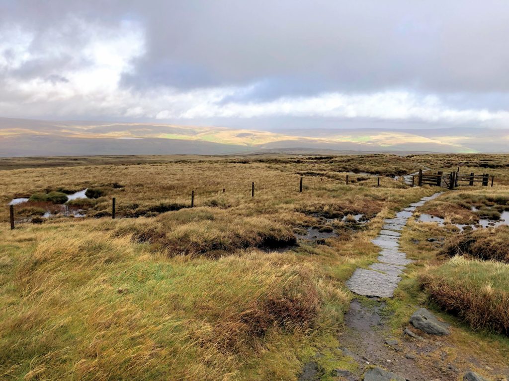
North-west then north from Hardraw along the Pennine Way to the summit of Great Shunner Fell. West across the moorland to Knoutberry Currack, then south over Cotterdale Common to Cotterdale. South-east through the dale back to Hardraw. A 12-mile walk in the Yorkshire Dales.
Recommended Ordnance Survey Map
The best map to use on this walk is the Ordnance Survey map of the Howgill Fells & Upper Eden Valley, reference OS Explorer OL19, scale 1:25,000. It clearly displays footpaths, rights of way, open access land and vegetation on the ground, making it ideal for walking, running and hiking. The map can be purchased from Amazon in either a standard, paper version or a weatherproof, laminated version, as shown below.
Standard Version
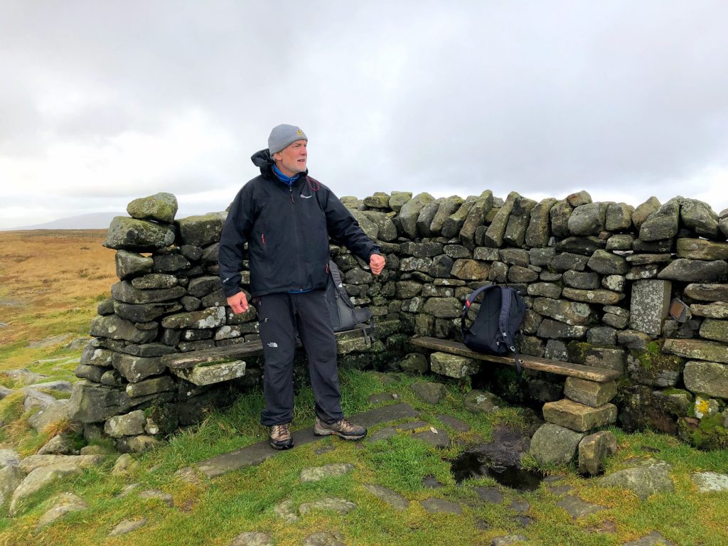
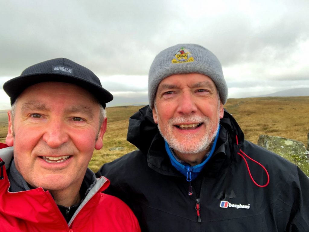
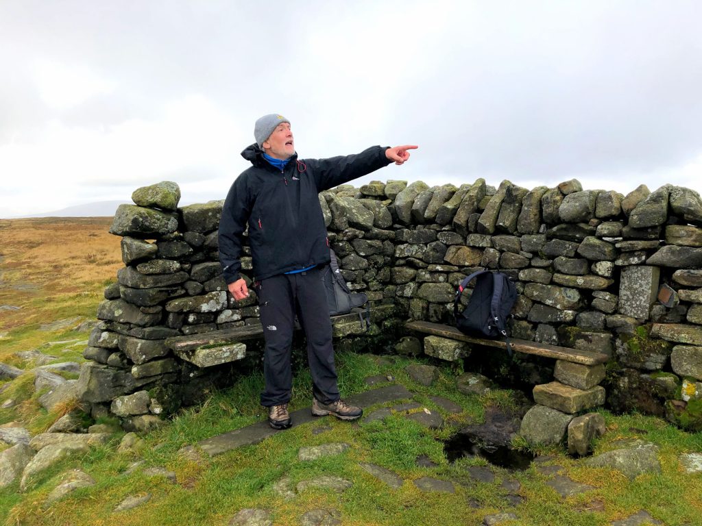
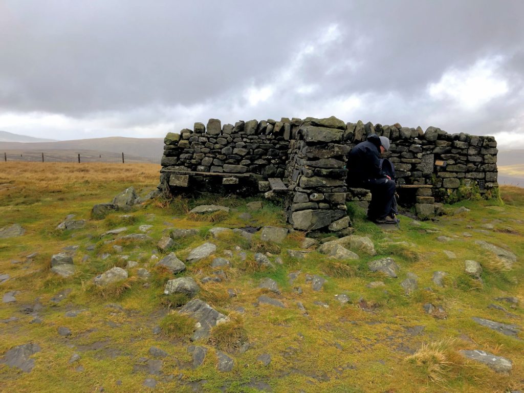
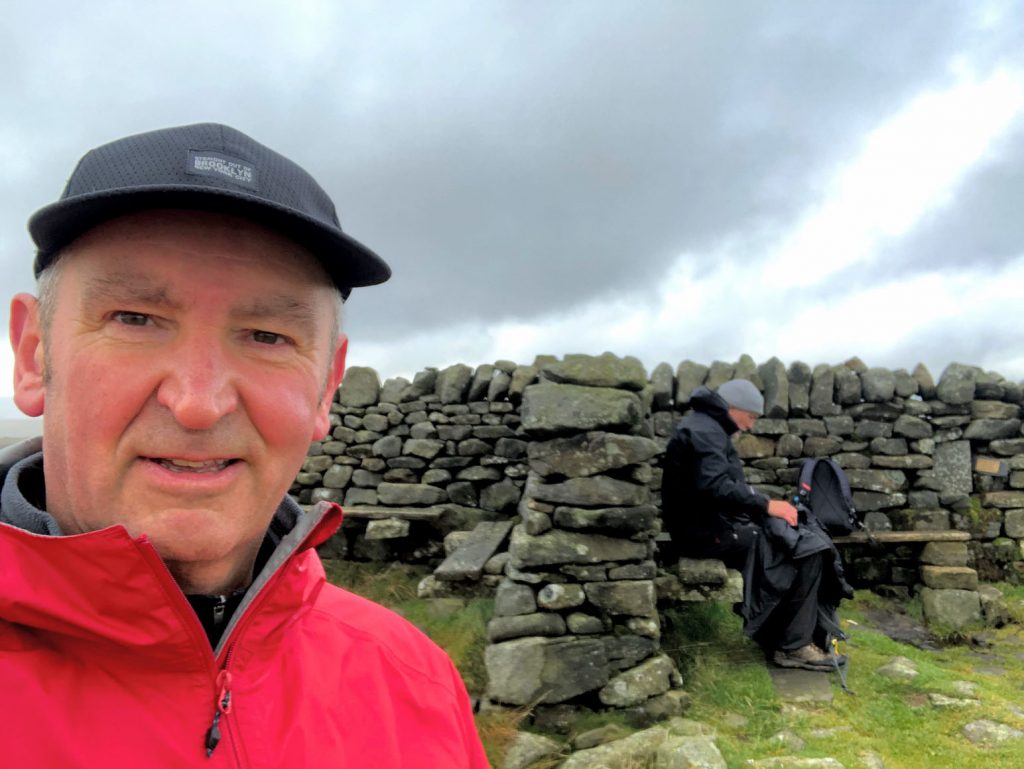
Mike and I at the summit of Great Shunner Fell, height 716 metres, 2349 feet. Unfortunately strong winds and heavy rain throughout the day prevented me from taking many photographs on this walk.