Out of Reeth and south-east over to the village of Grinton, then south-west on to Harkerside Moor and south to Dent’s Houses. North-west on Apedale Road through the valley of Apedale to the disused lead mines on Whitaside Moor, then changing direction and heading north-east gradually downhill to the River Swale, Grinton and back to Reeth. A 14-mile walk in the Yorkshire Dales.
Recommended Ordnance Survey Map
The best map to use on this walk is the Ordnance Survey map of the Yorkshire Dales Northern & Central Area, reference OS Explorer OL30, scale 1:25,000. It clearly displays footpaths, rights of way, open access land and vegetation on the ground, making it ideal for walking, running and hiking. The map can be purchased from Amazon in either a standard, paper version or a weatherproof, laminated version, as shown below.
Standard Version
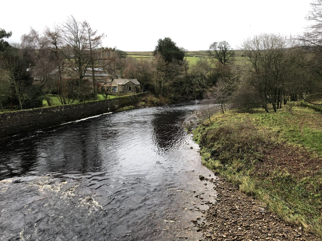
The River Swale at Grinton.
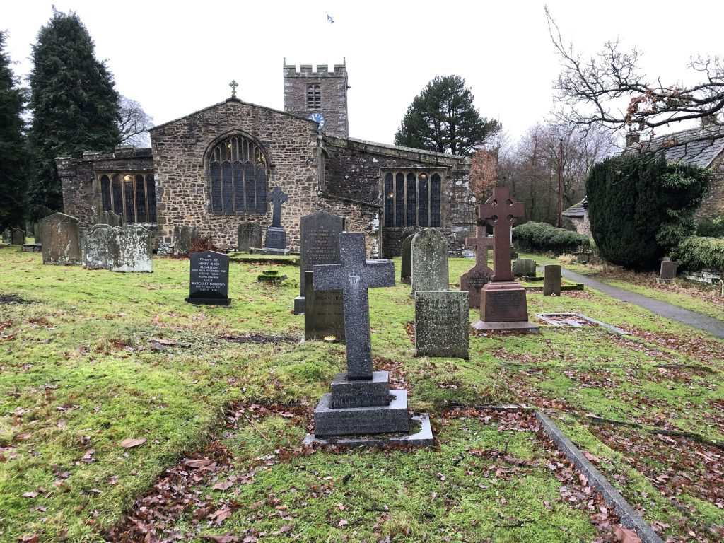
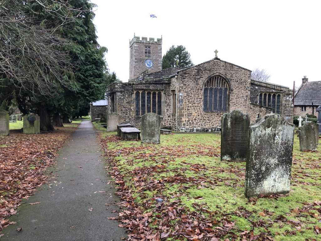
St Andrew’s Church, Grinton.
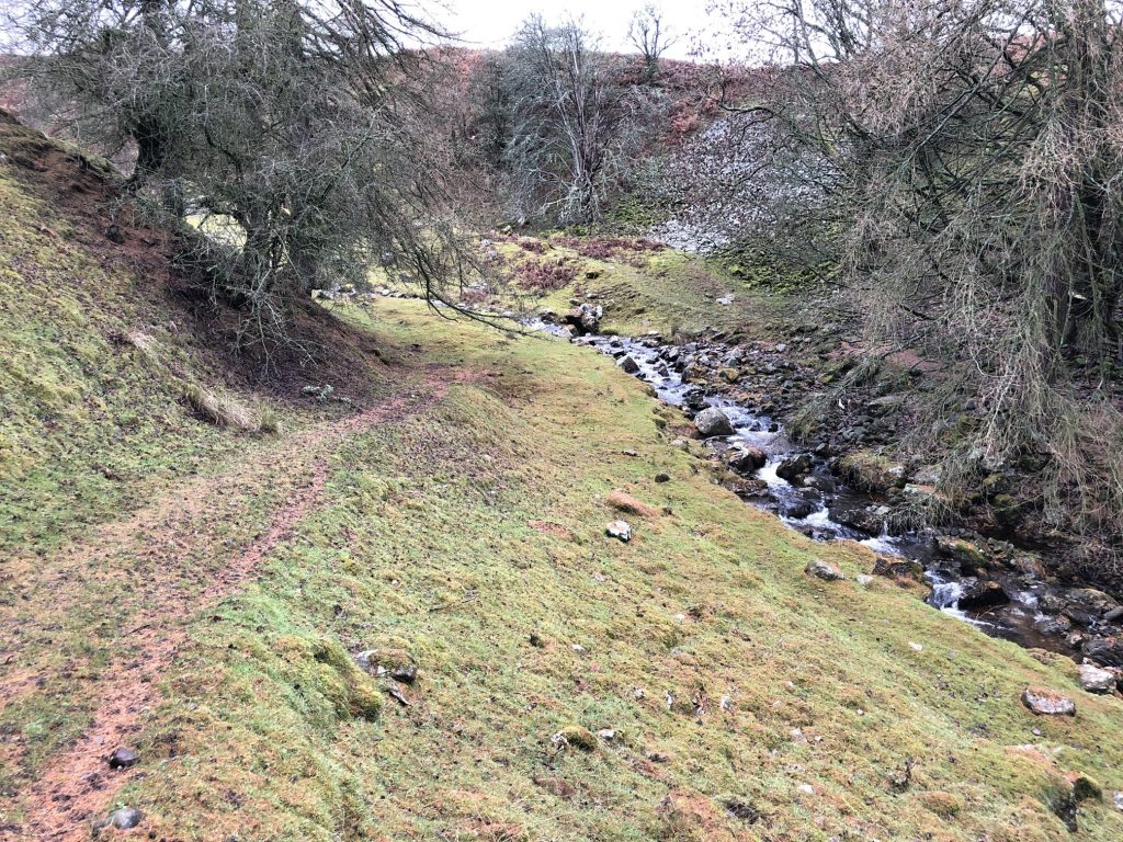
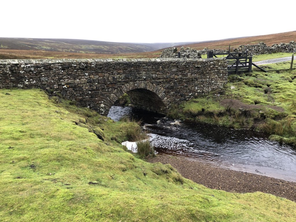
Grinton Gill.
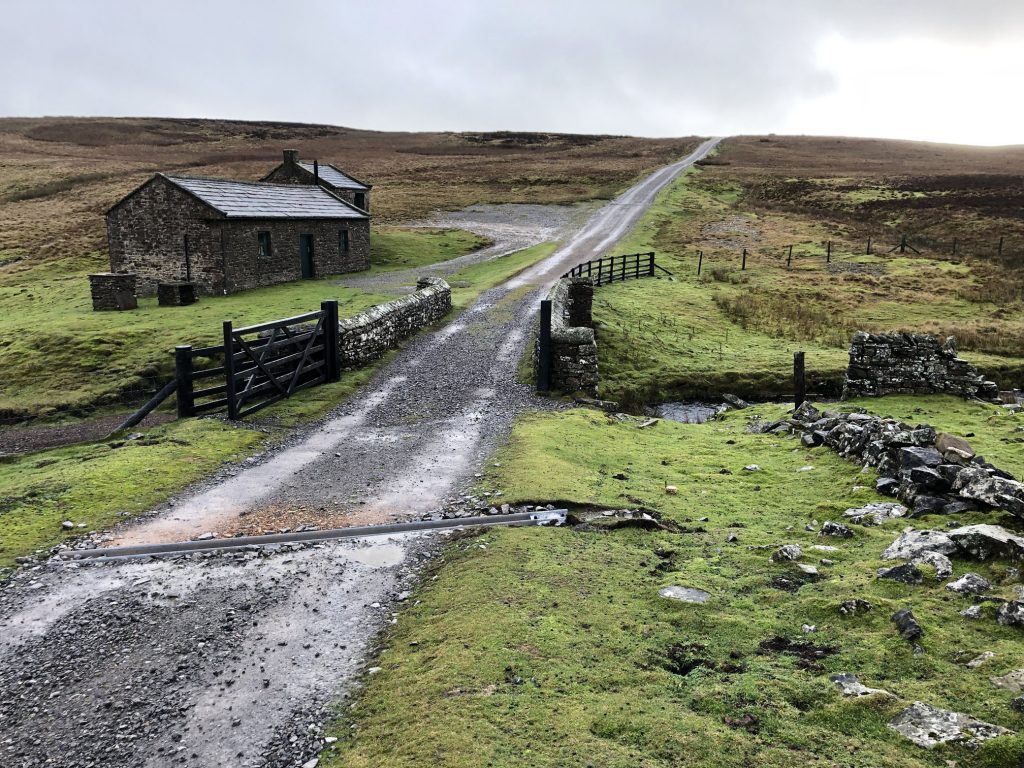
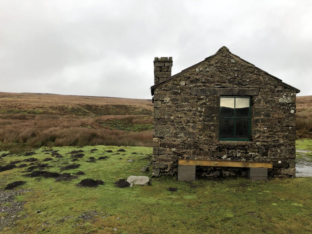
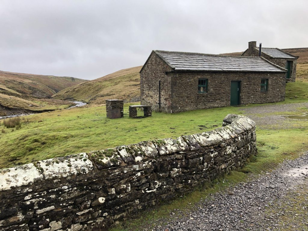
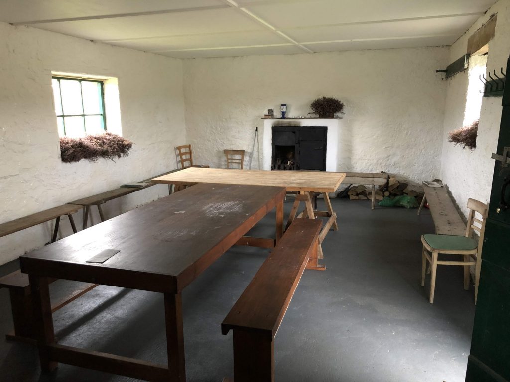
Dent’s Houses, providing shelter for walkers in Apedale on the Bolton Estate.
Looking north over the moorland from the Dent’s Houses location in Apedale.
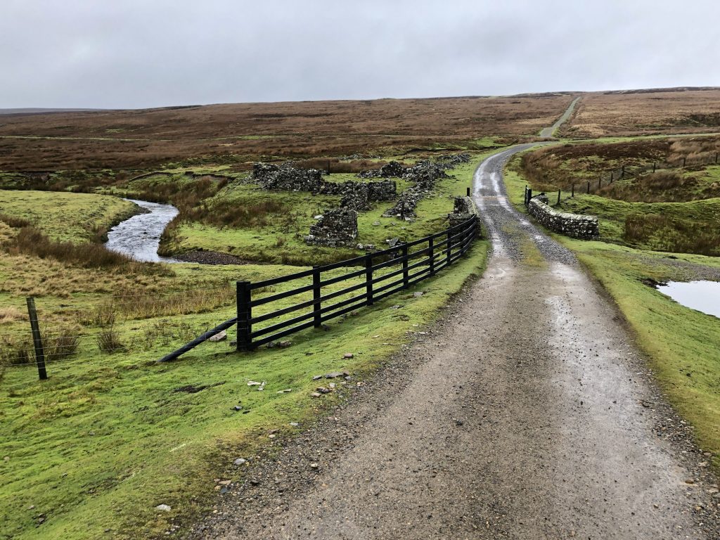
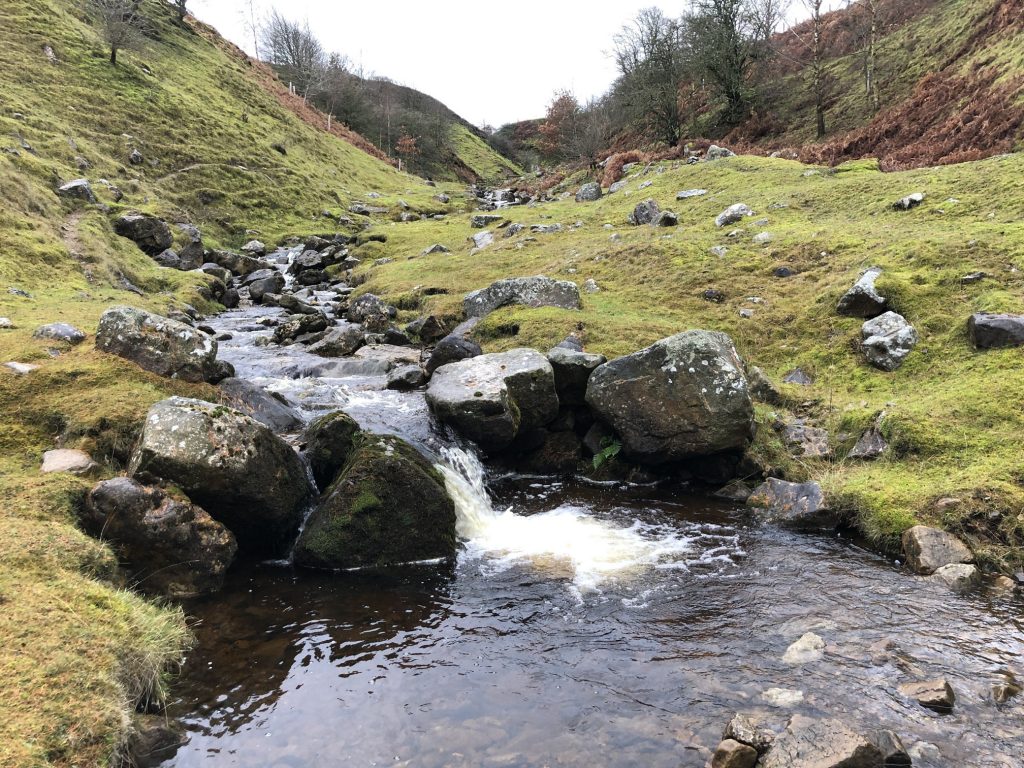
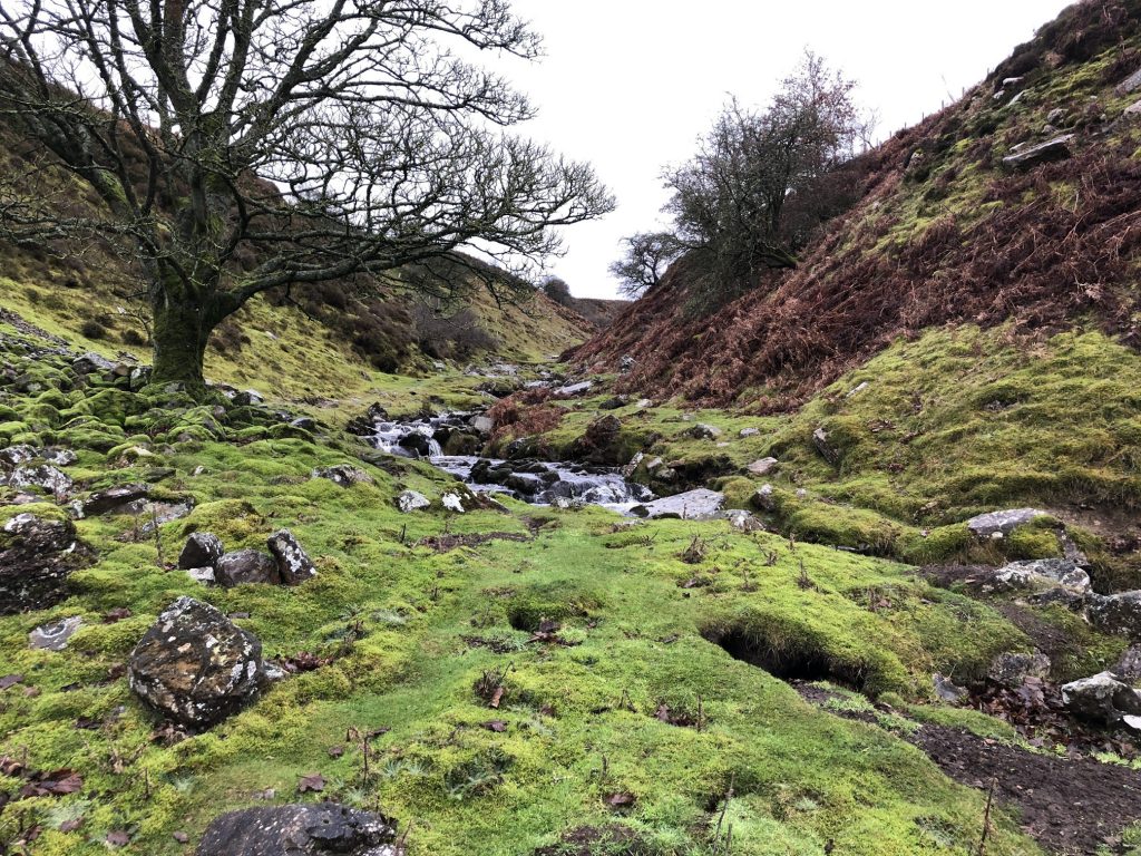
Apedale Beck near Dent’s Houses.
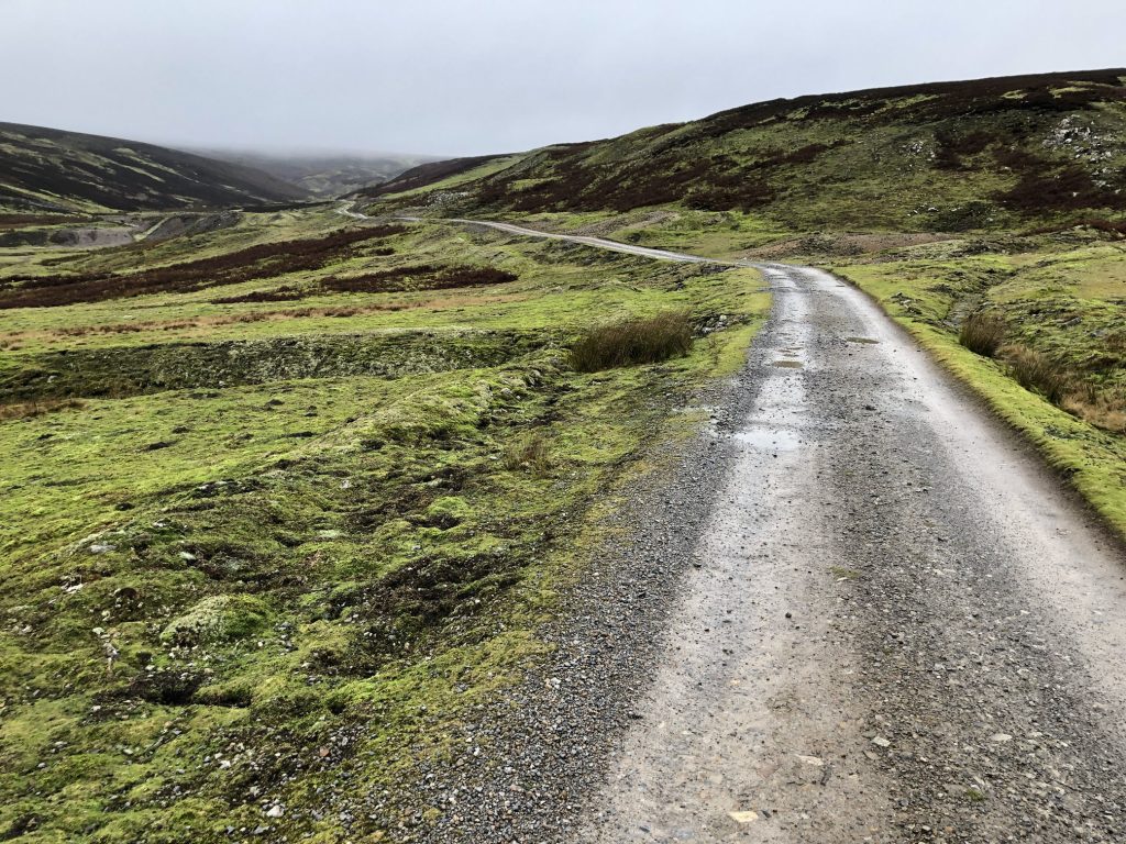
Apedale Road heading west towards Apedale Head and Whitaside Moor.
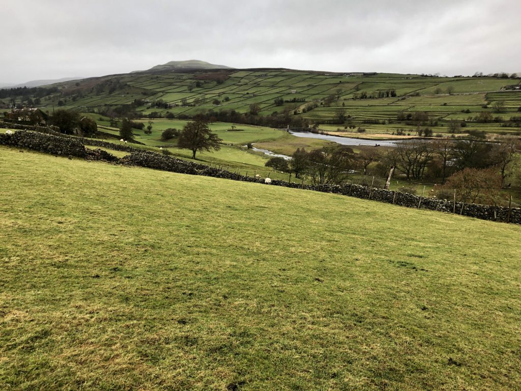
The view north over Swaledale towards Reeth.

The view over Swaledale. The suspension bridge over the River Swale can just be seen.
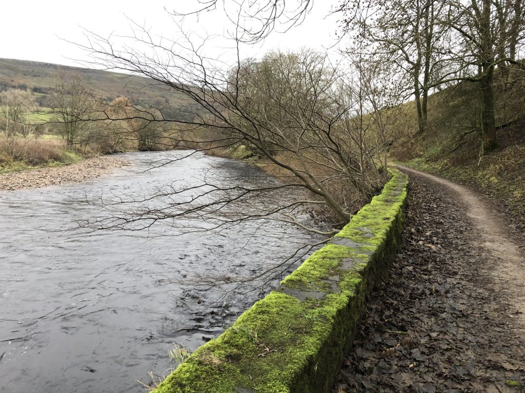
Footpath leading to Grinton, alongside the River Swale.