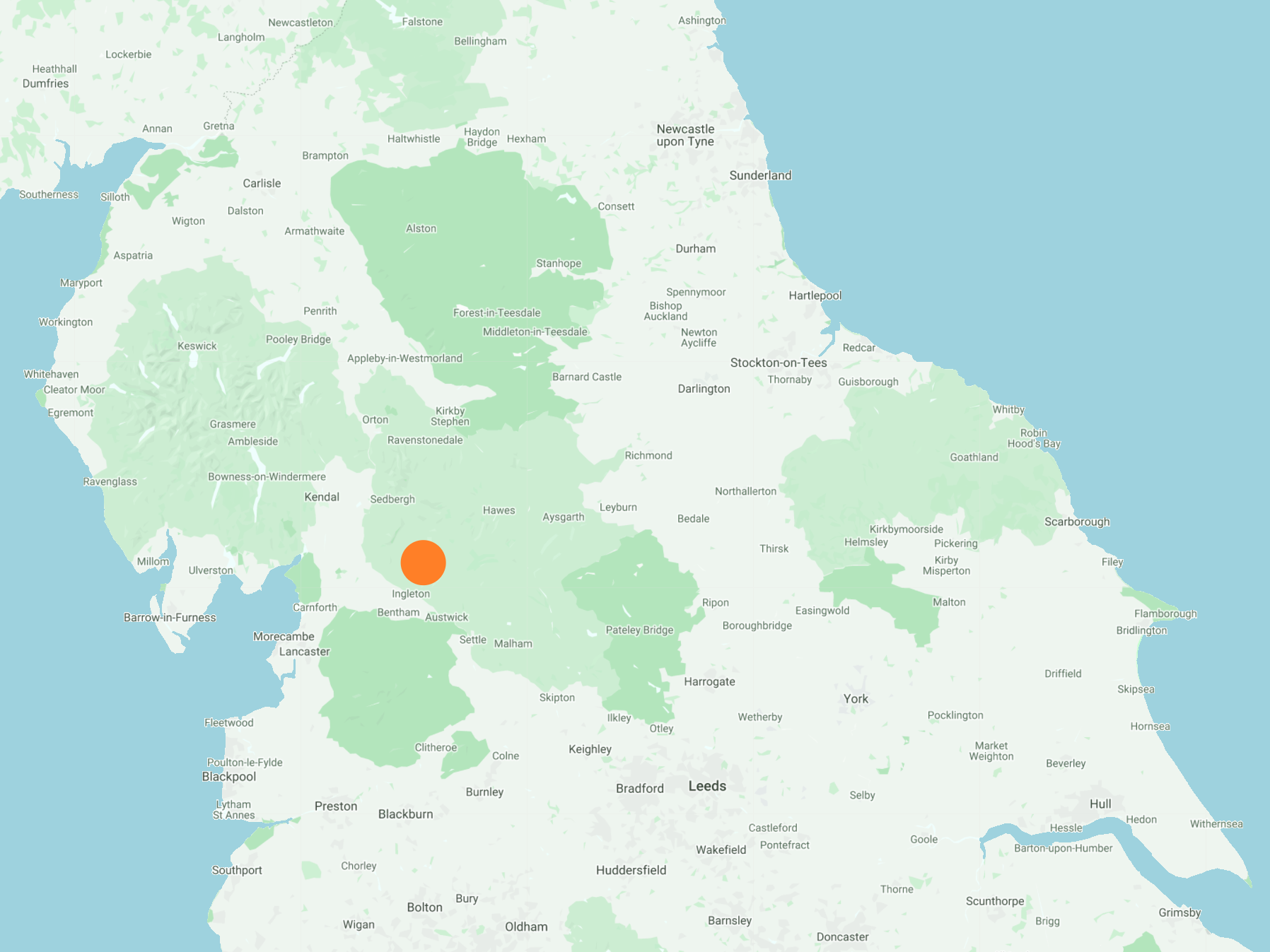
North-east from the village of Ingleton to the summit of Ingleborough by way of A Pennine Journey. Continuing in the same direction to Park Fell, before dropping down to Colt Park and heading west over the B6255 to reach Broadrake. South-west via the Dales High Way and A Pennine Journey to Twisleton Scar End, and finally along Oddie’s Lane to Ingleton. A 15-mile walk in the Yorkshire Dales.
Recommended Ordnance Survey Map
The best map to use on this walk is the Ordnance Survey map of the Yorkshire Dales Southern & Western Area, reference OS Explorer OL2, scale 1:25,000. It clearly displays footpaths, rights of way, open access land and vegetation on the ground, making it ideal for walking, running and hiking. The map can be purchased from Amazon in either a standard, paper version or a weatherproof, laminated version, as shown below.
Standard Version
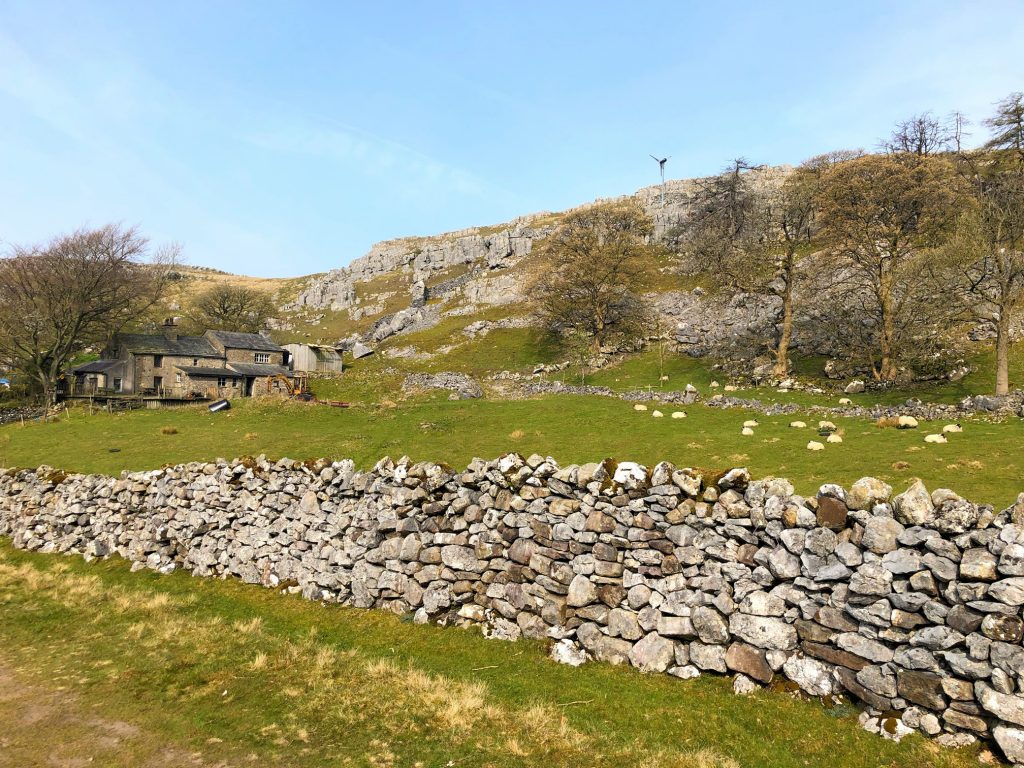
The view of White Scars from A Pennine Journey, just east of Ingleton.
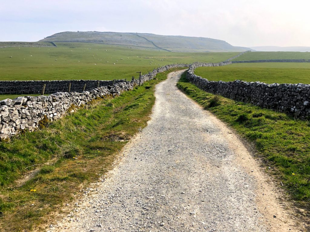
White Scars.

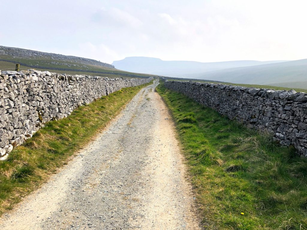
A Pennine Journey, heading towards Ingleborough.
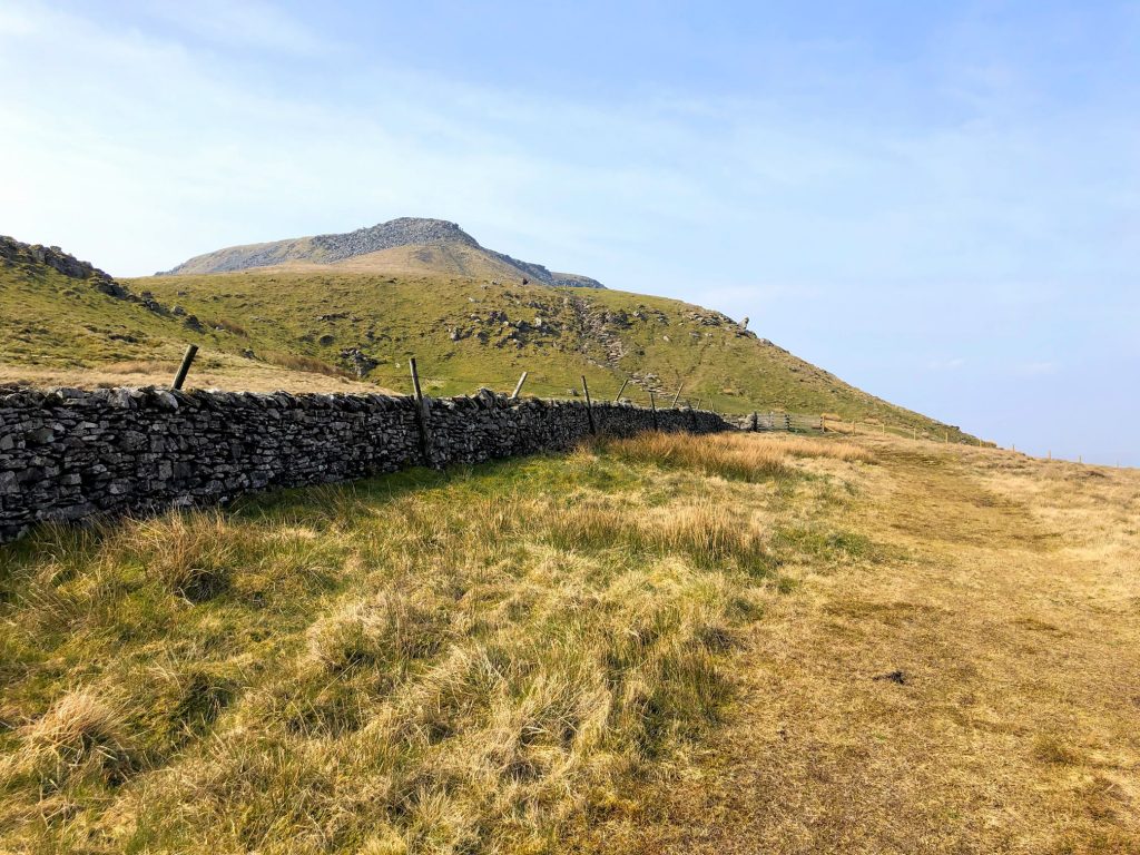
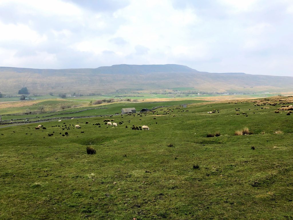
The view of Crina Bottom, with the silhouette of Ingleborough in the background.
Crina Bottom.
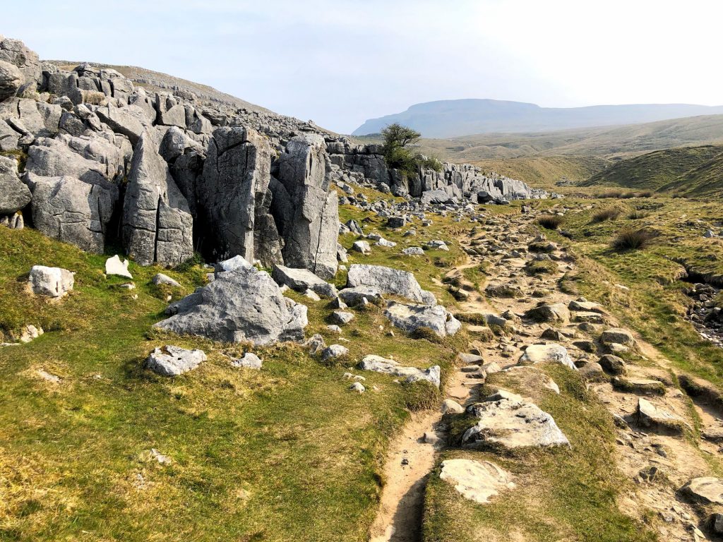
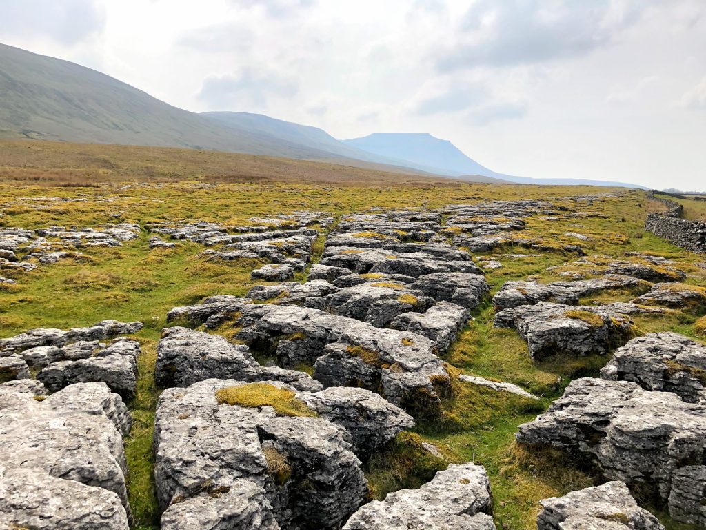
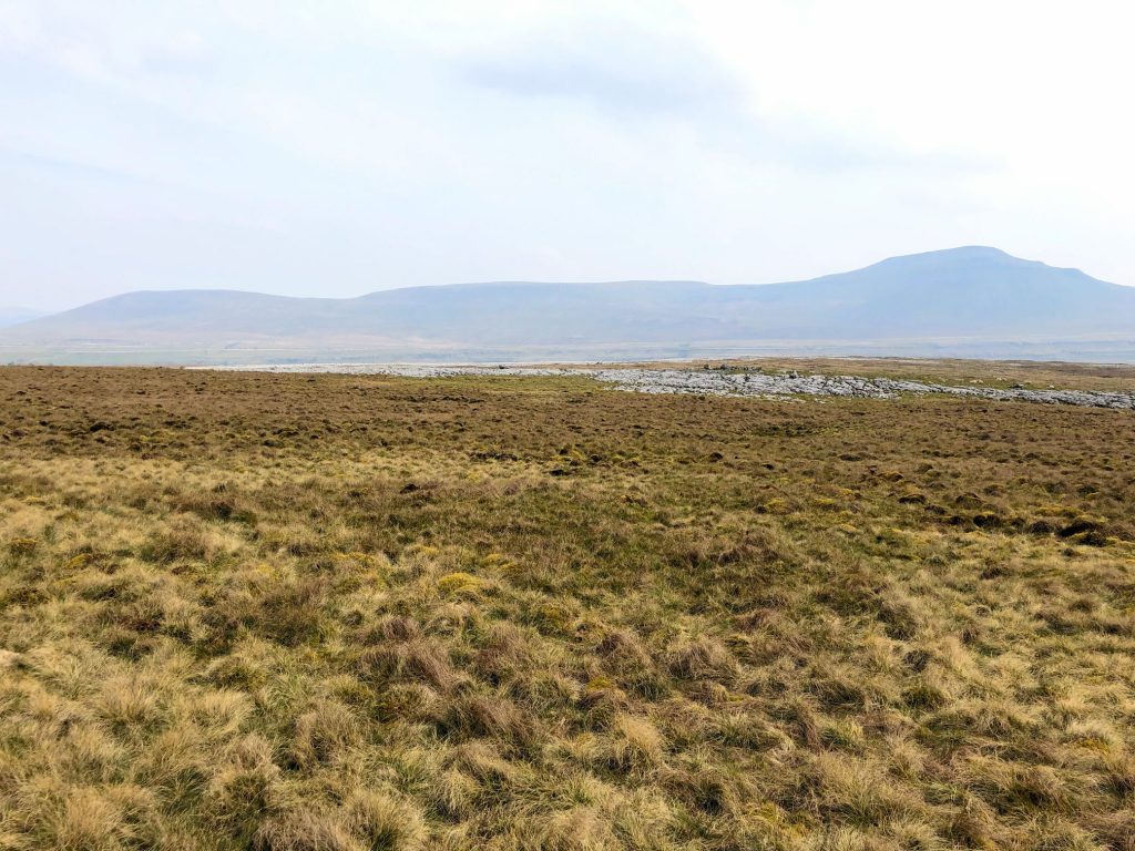
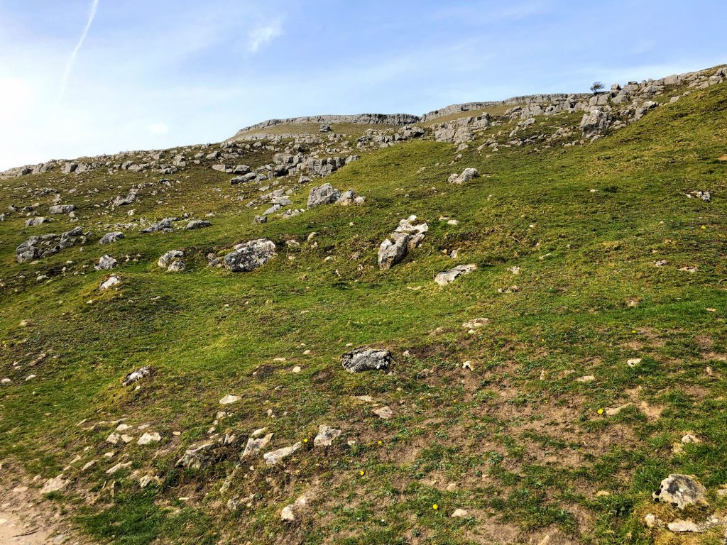
Beautiful limestone rocky outcrops at Red Gait Head.
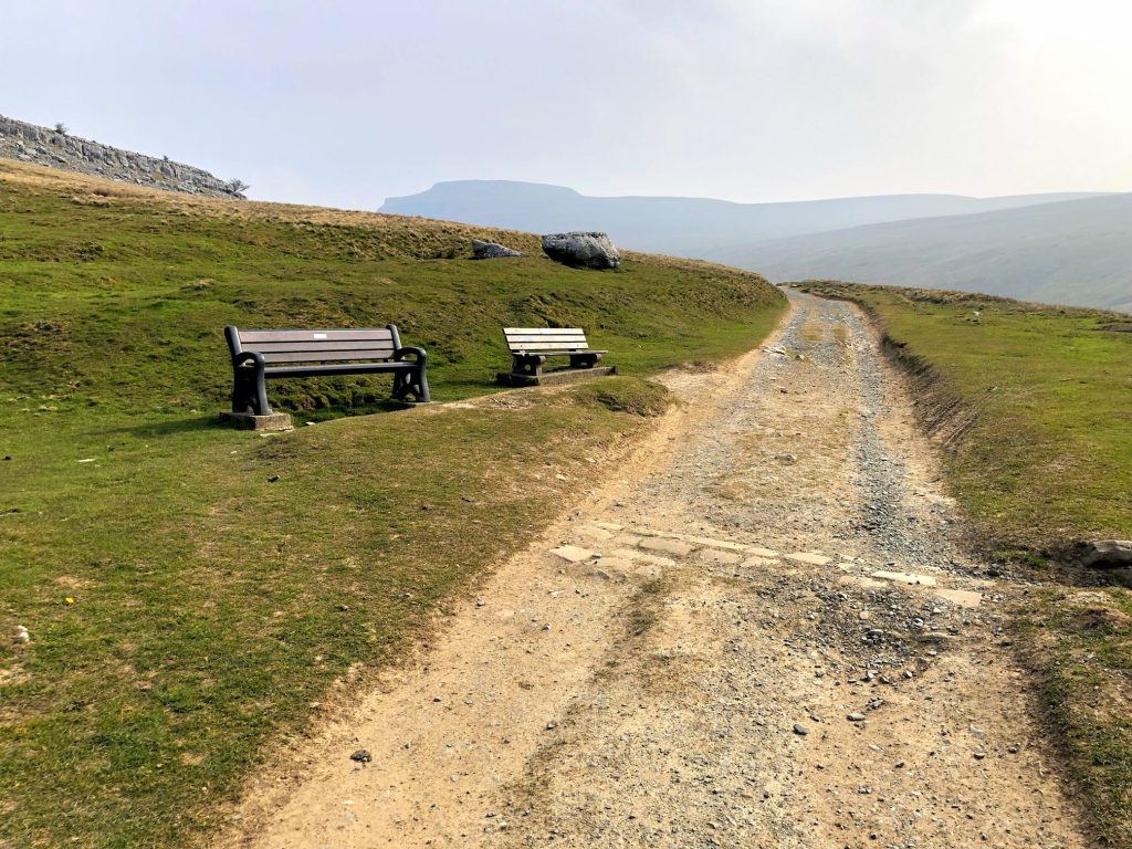
The summit of Ingleborough is in view. Only 250 metres to go.
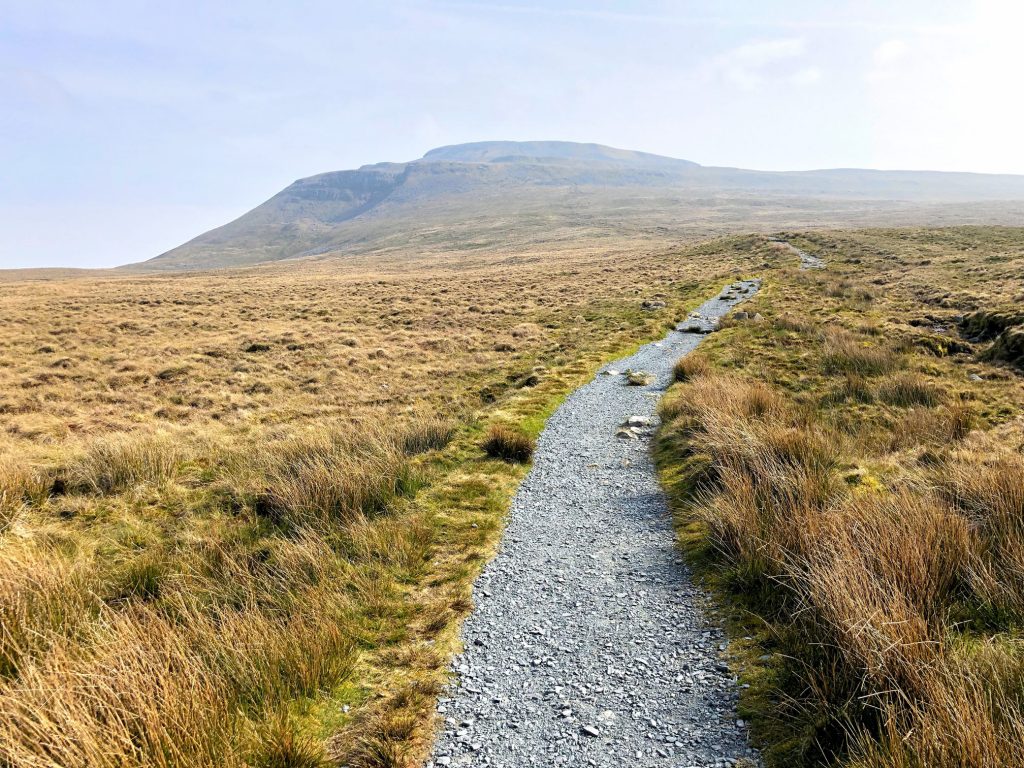
The summit of Ingleborough is in view. Only 100 metres to go.
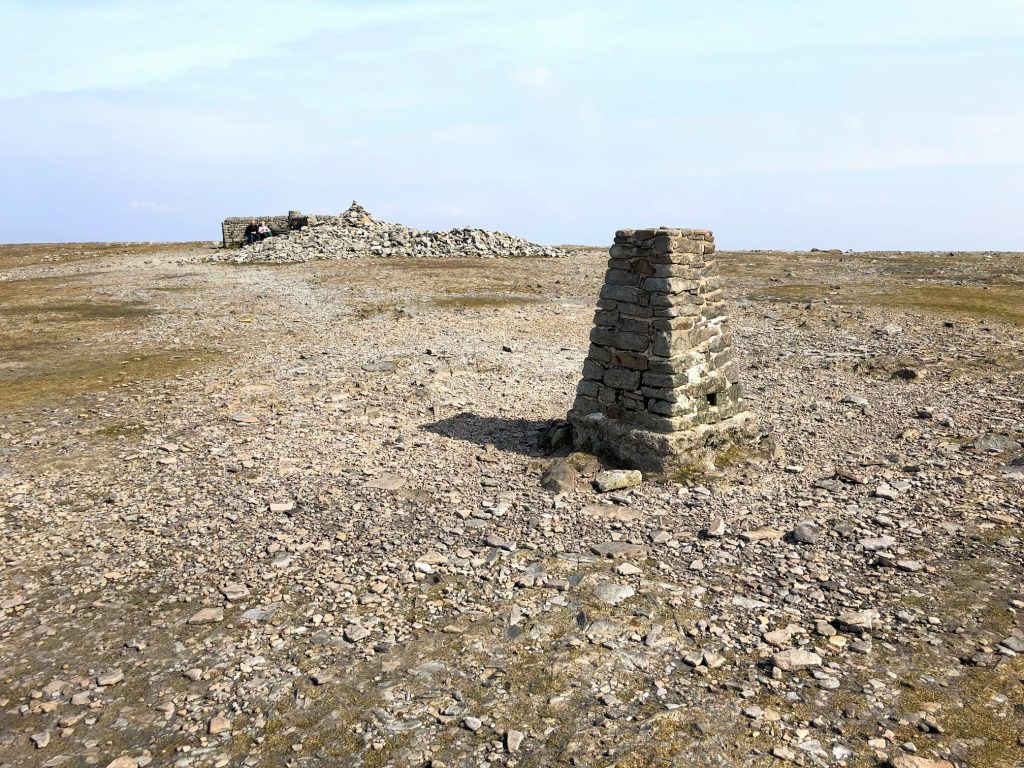
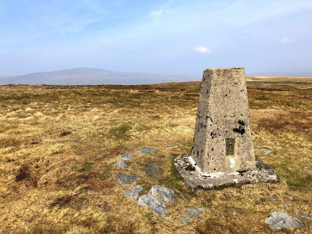
The summit of Ingleborough, 723 metres (2372 feet).

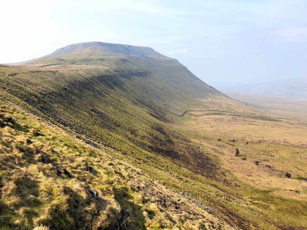
Looking back at Inglebrough from the Ridge Walk above Humphrey Bottom.
The Ridge Walk below Simon Fell, leading to Park Fell.

Humphrey Bottom and the distinct plateau of Ingleborough.
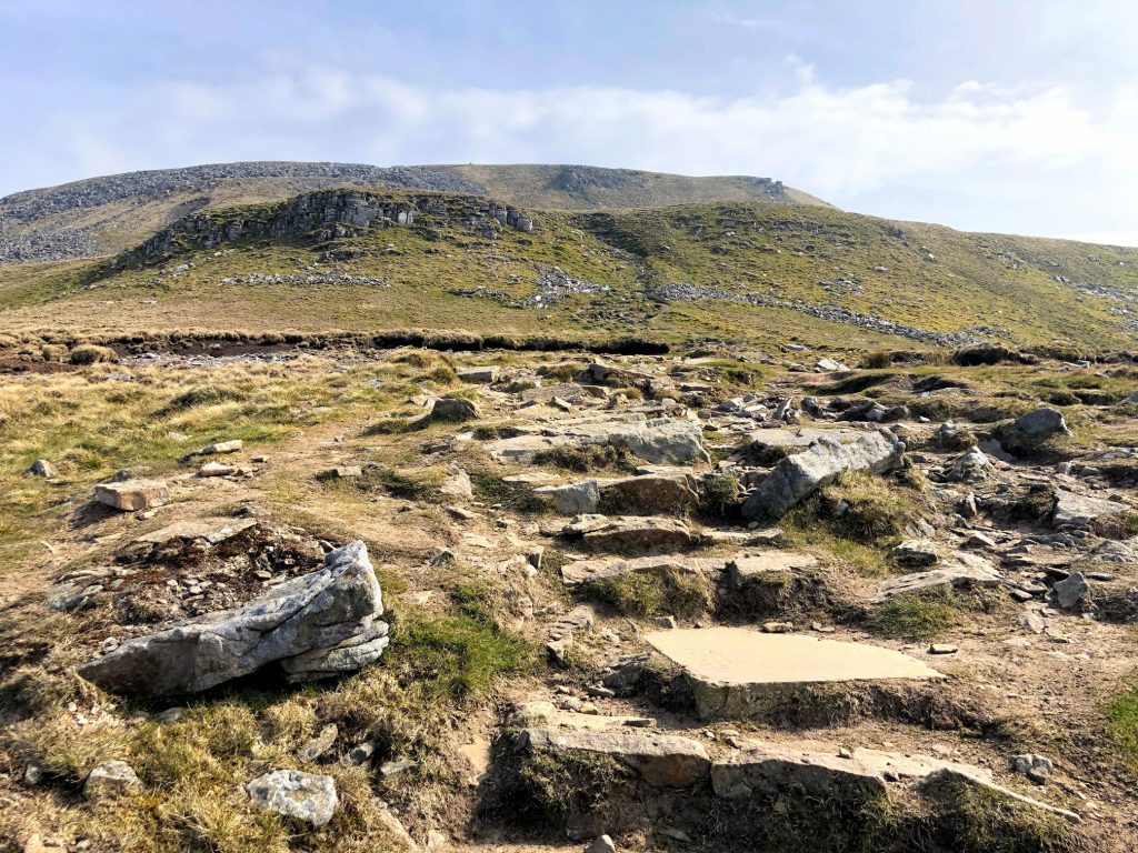
The view of Park Fell from Souther Scales Fell.

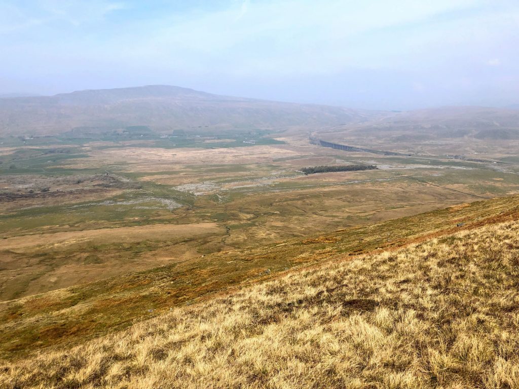
The view north-west from Park Fell towards Ribblehead Viaduct and Whernside.
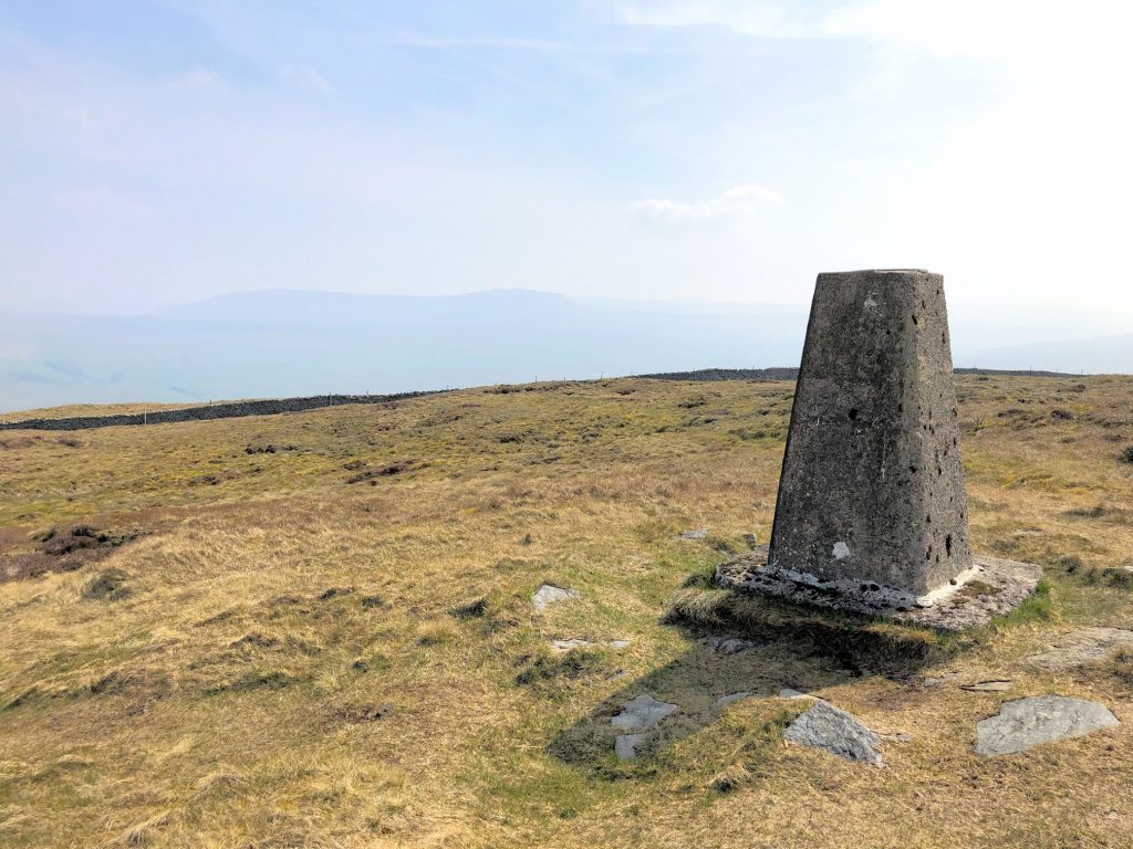
The summit of Park Fell, 563 metres (1847 feet), with Ingleborough in the background.
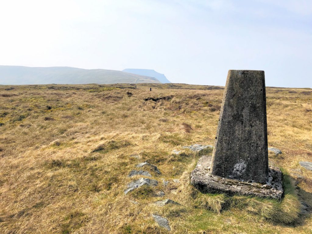
The summit of Park Fell, 563 metres (1847 feet), with Whernside in the background.
The summit of Park Fell, 563 metres (1847 feet), with Pen-y-ghent barely visible in the background.
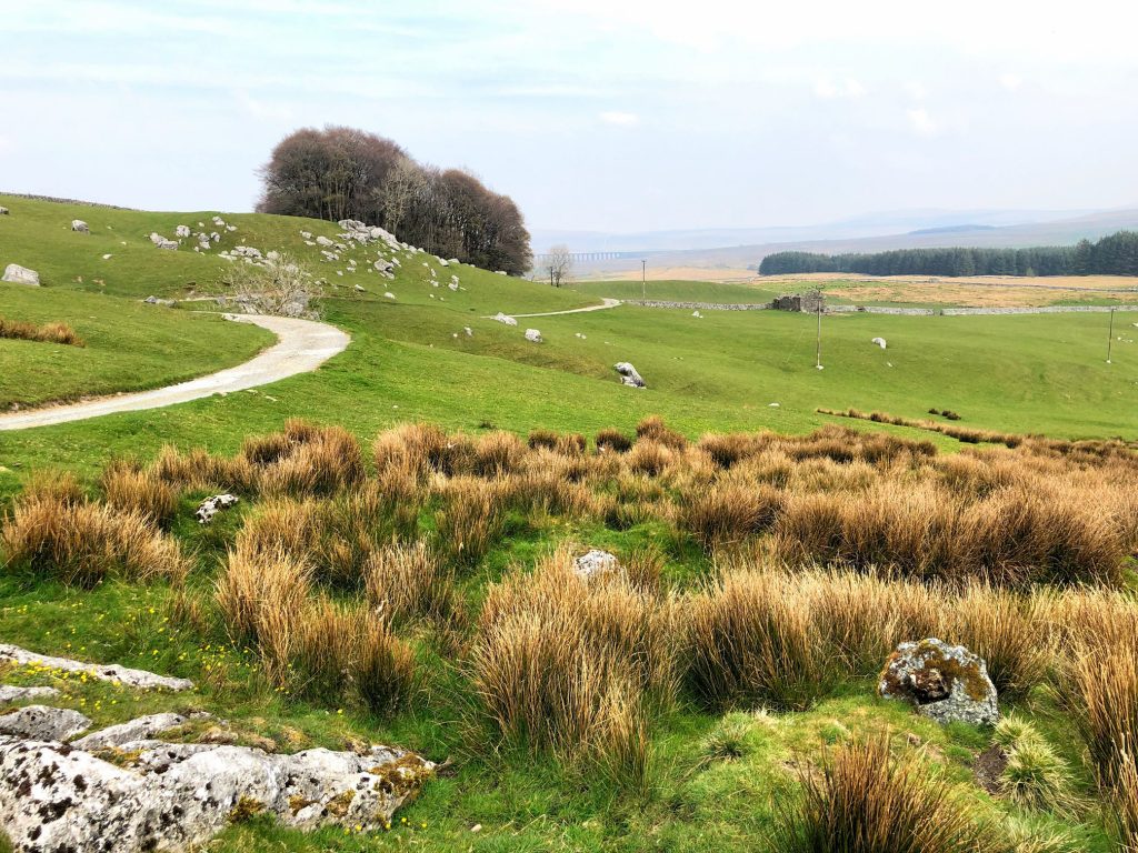
Woodland near Sleights Pasture, backed by the silhouette of Whernside.

From left to right, the summits of Park Fell, Simon Fell and Ingleborough.

Fell Close Rocks.
Sleights Pasture Rocks.
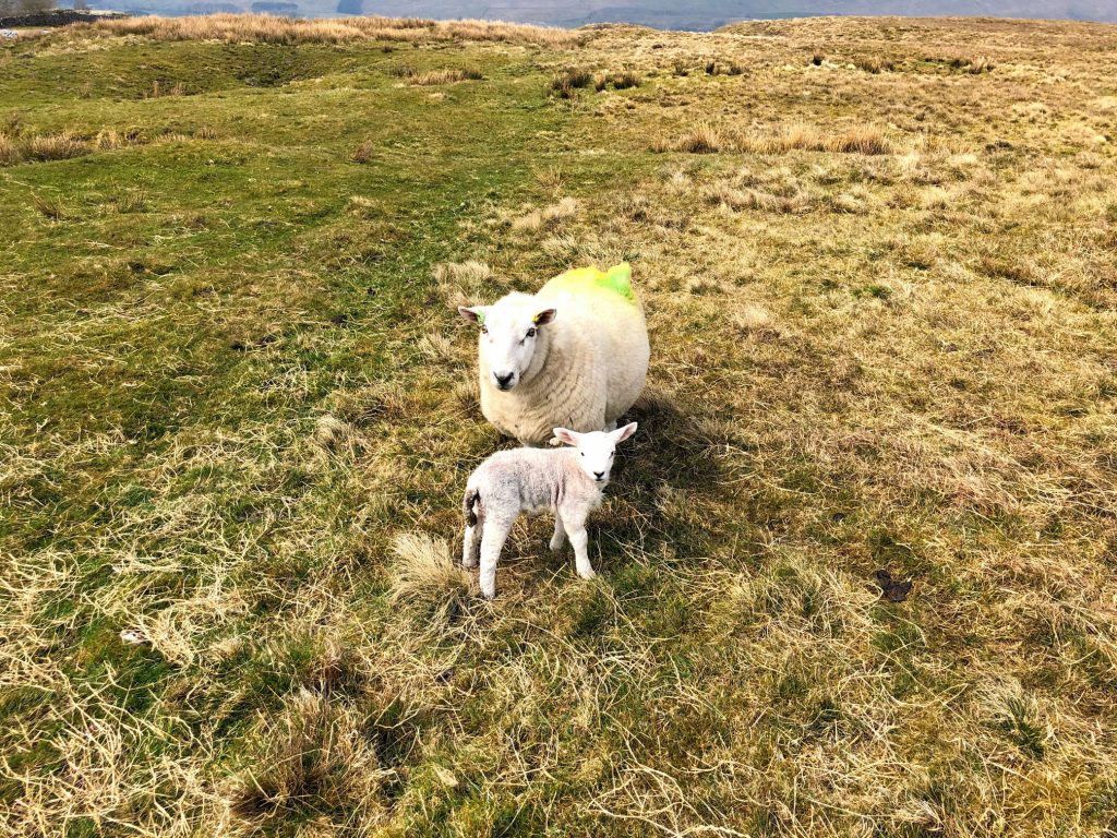
A young lamb and its mother.
Haws House Pasture.
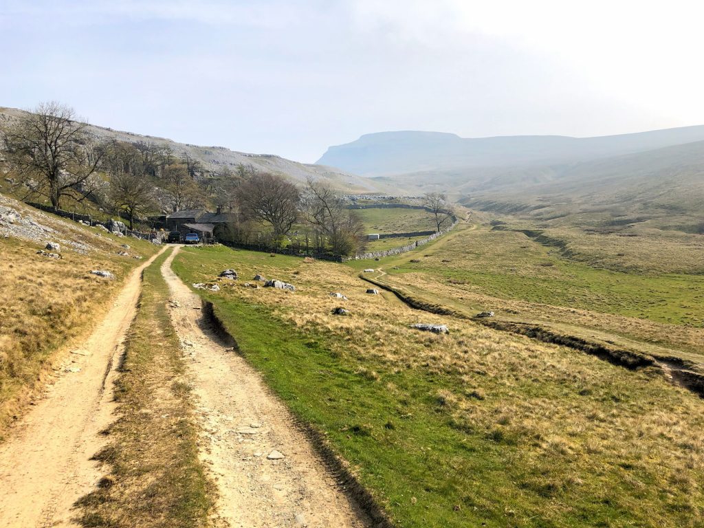
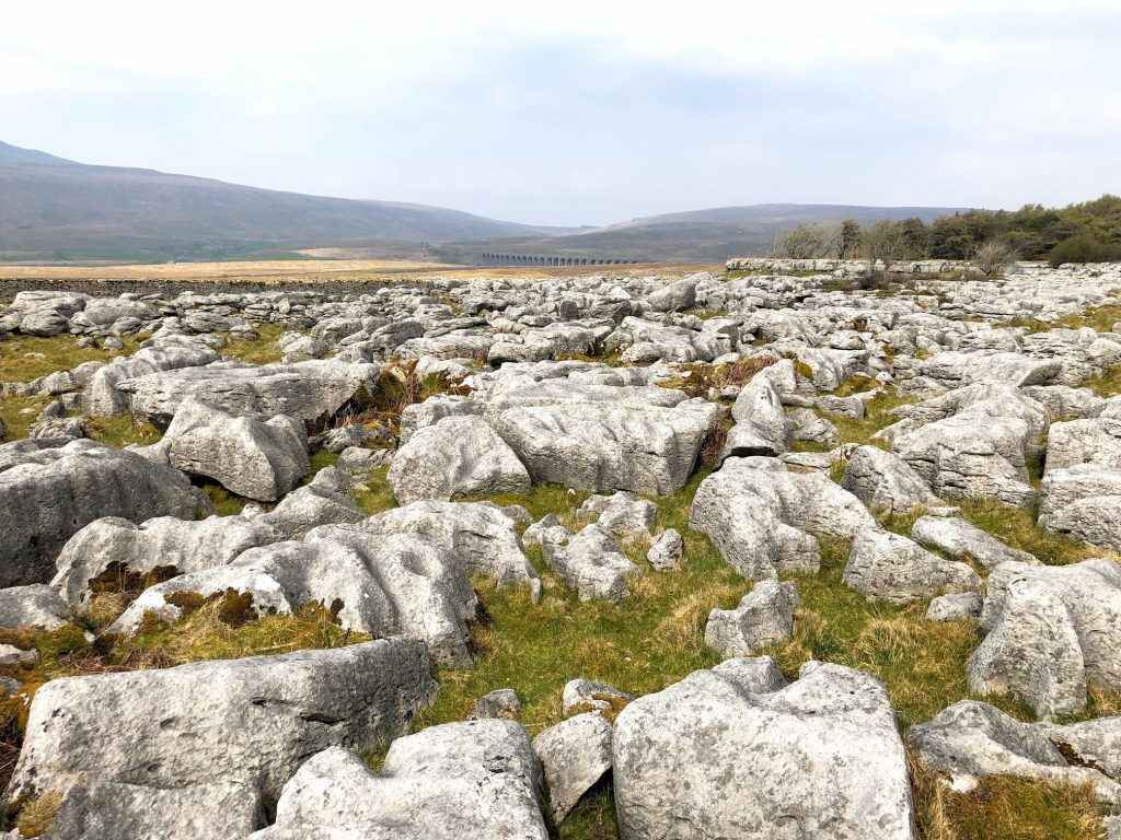
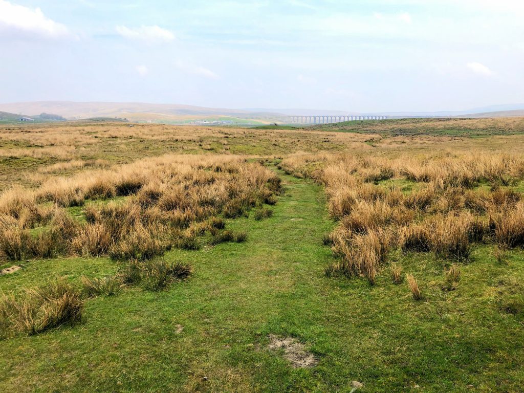
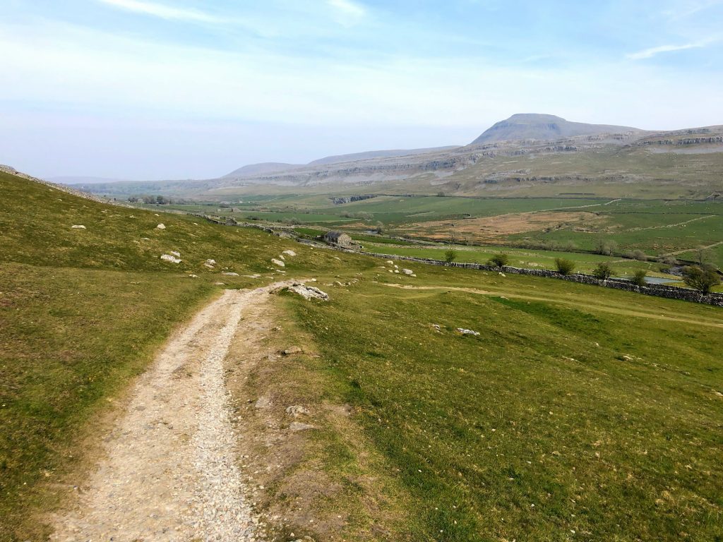
The view east towards Ribblehead Viaduct at the head of the valley.
The view east from the Dales High Way at Ellerbeck.
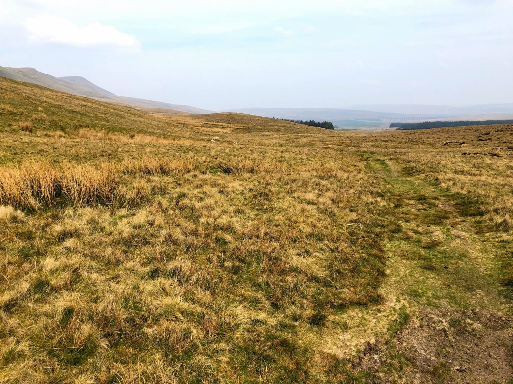
A Pennine Journey across Hard Rigg.
From left to right, the silhouettes of Park Fell, Simon Fell and Ingleborough.
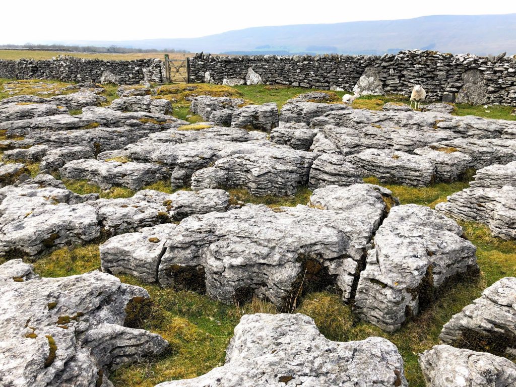
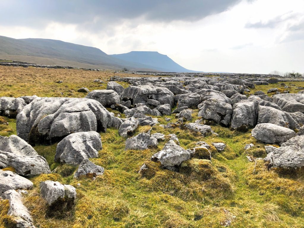
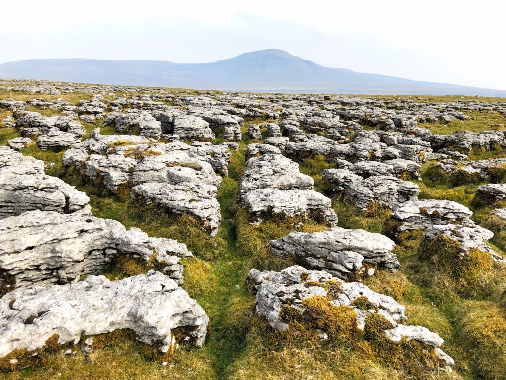
Beautiful limestone pavement on Scales Moor.
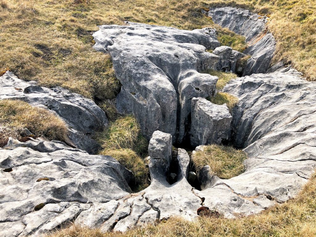
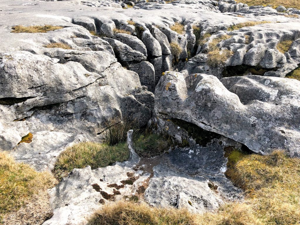
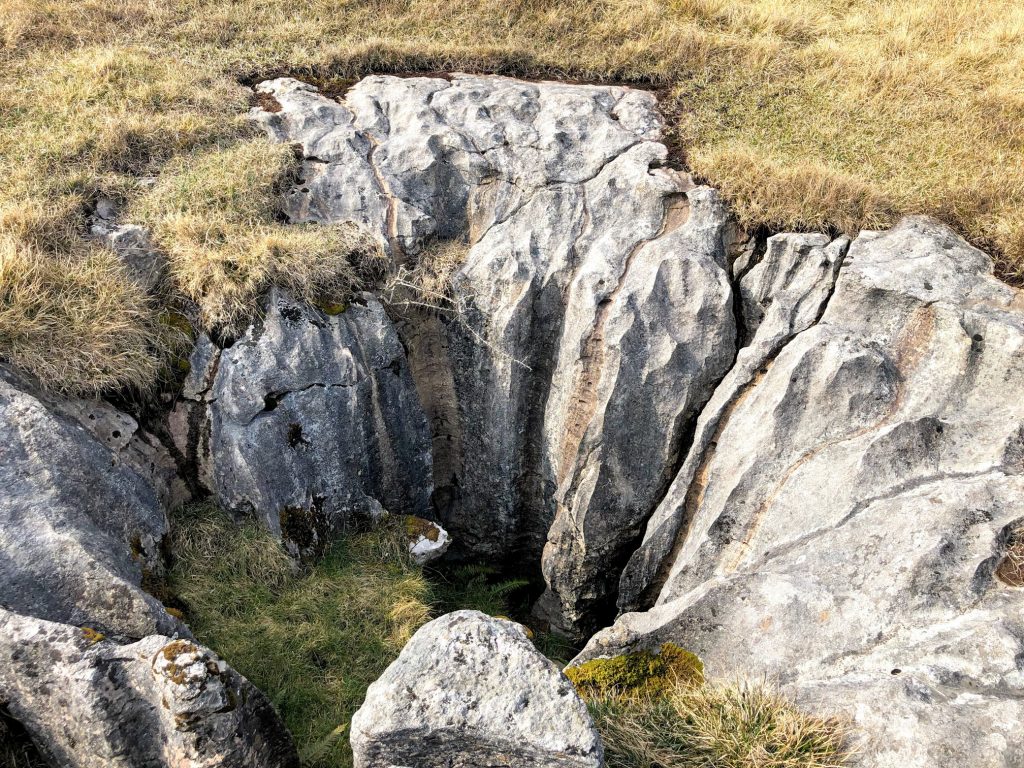
Fascinating potholes on Scales Moor.

Twisleton Scar End.

Twisleton Hall.

The view east from Beezleys towards the River Doe and Ingleborough.
Active quarry near Ingleton.

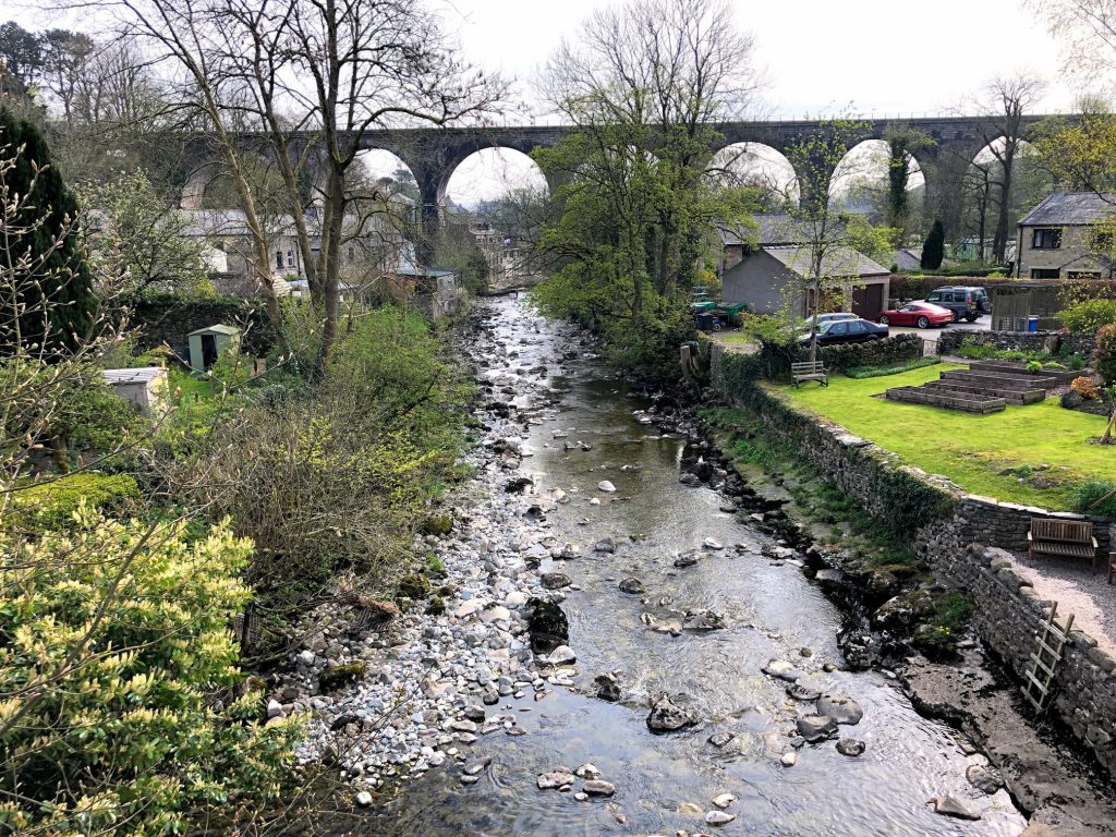
The River Twiss.

The River Doe.

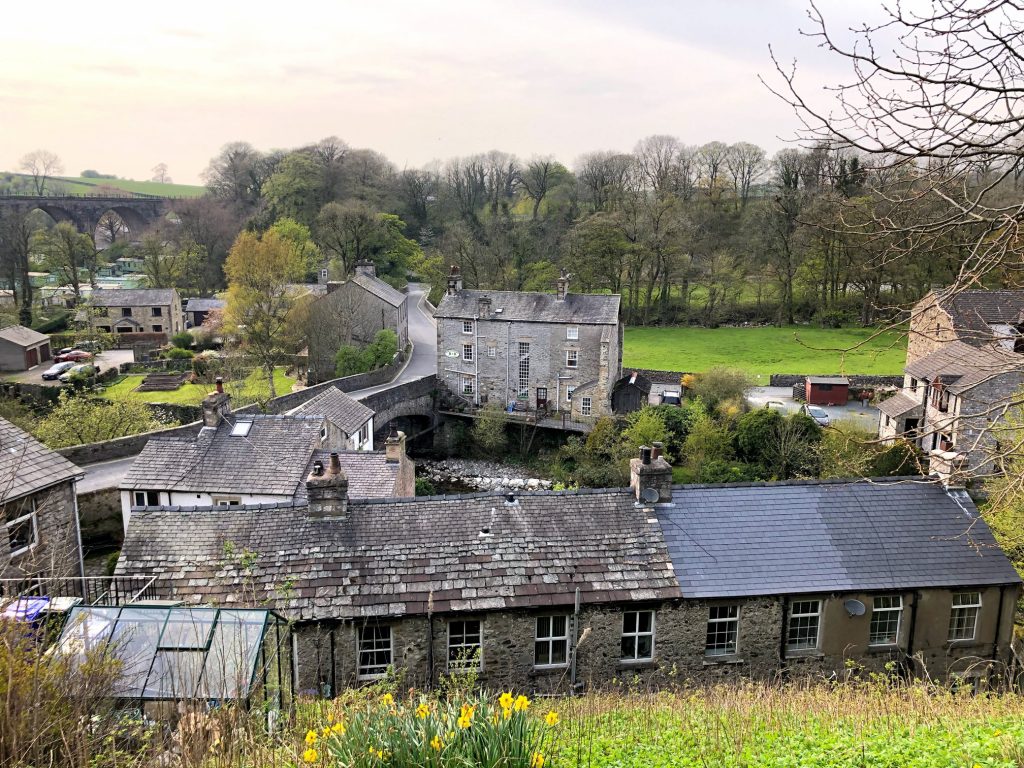
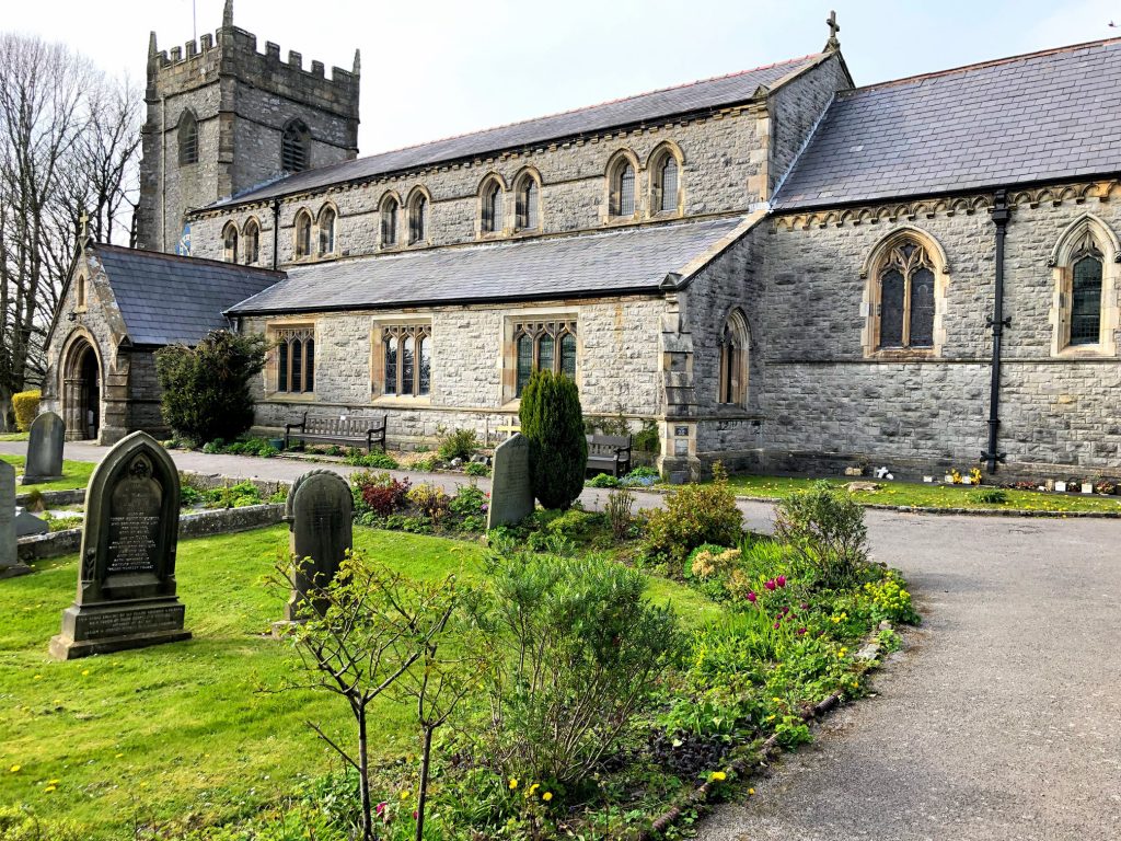
St Mary’s Church, Ingleton.
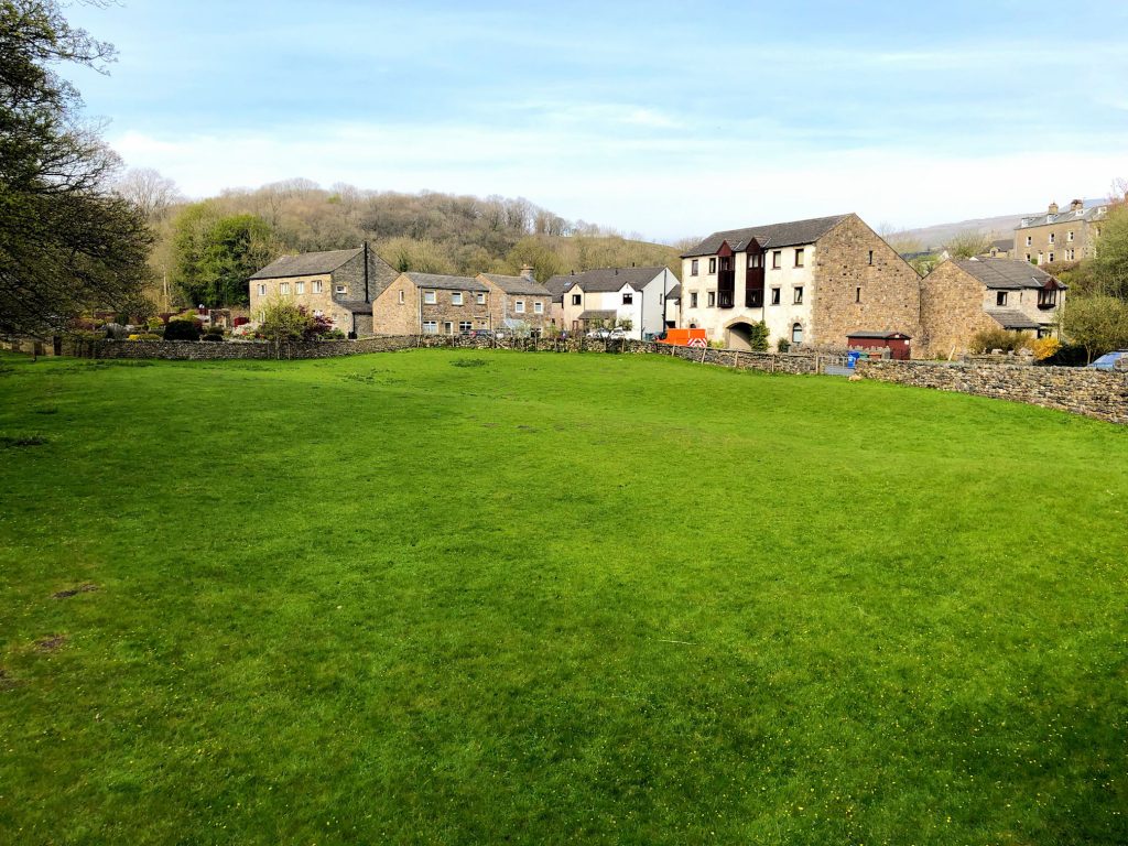
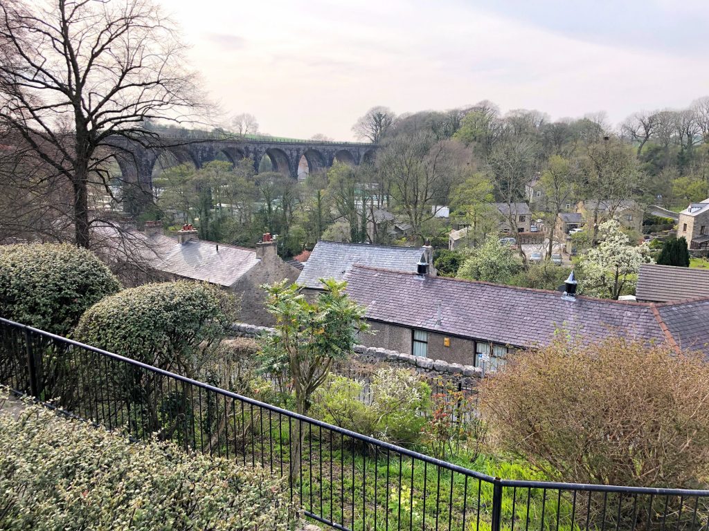
The village of Ingleton.