ADVERTISEMENT
Embrace the Great Outdoors with the Hart Crag Walk from Brothers Water
Start your Hart Crag walk from the Cow Bridge car park, nestled north of Brothers Water and north-west of Hartsop. Travel north for approximately half a mile, paralleling the A592 Patterdale road. Then leave the road, charting a south-west course that leads to an immediate ascent by Low Wood’s edge.
Continuing south-west and steadily upward, your path carries you to Bleaberry Knott. Maintain your ascent via Gale Crag, Hoggill Brow and Hartsop above How. This strenuous journey culminates at Hart Crag’s summit, a key point in your Lake District walk.
ADVERTISEMENT
From Hart Crag, veer south-east towards Dove Crag’s peak. The route extends past Little Hart Crag, eventually connecting with the public footpath of Scandale Pass. Transition to a north-east direction, embarking on a descent through the verdant Caiston Glen valley. Keep to the path tracing Caiston Beck, nestled between High Hartsop Dodd and Middle Dodd.
Your final stretch of this Hart Crag walk leads you north to Hartsop Hall, roughly following the course of Kirkstone Beck. Afterwards, keep to the western shores of Brothers Water, on a track leading you back to the Cow Bridge car park. With this, your 8-mile trek in the Lake District is complete. This detailed guide for the Hart Crag walk, in the heart of the Lake District, combines physical challenge, natural beauty, and unspoilt landscapes.
Hart Crag Walk: Maps and Tools
Visit either the OS Maps website or the Outdooractive website to view this walking route in greater detail. Both platforms offer a range of features, including the ability to print the route, download it to your device, and export the route as a GPX file. You can also watch a 3D fly-over and share the route on social media.
Hart Crag Walk: Distance, Duration, Statistics
Distance: 8 miles
Distance: 13¼ kilometres
Duration: 4½ hours
Ascent: 2610 feet
Ascent: 796 metres
Type: Circular walk
About Hart Crag
Hart Crag, a compelling sight in the English Lake District, belongs to the Fairfield group of hills in the Lake District’s eastern fells. Towering at a height of 823 meters (2700 feet), Hart Crag is the 27th tallest in the list of Wainwrights. Positioned on the ridge that runs south-east from Fairfield to Dove Crag, this fell finds itself at a significant geographic juncture, marking the point where a lengthy subsidiary spur sweeps off towards the north-east. This is famously known as Hartsop above How, recognised as a separate fell by Alfred Wainwright in his highly regarded Pictorial Guide to the Lakeland Fells.
An intriguing feature of Hart Crag is its location at the convergence point of three ridges, granting it a share in three valleys. To the west of its summit, the Rydal Beck valley extends. The valley runs almost due south for three miles, its waters ultimately pouring into the River Rothay at Rydal village. Northwards lies Link Cove, a hanging valley that discharges via cascading waterfalls into Deepdale. The waters of Deepdale Beck in turn run north-east, uniting with other streams bound for the beautiful Ullswater. On the other side of Hart Crag, Dovedale valley unfolds, running broadly eastward, its tranquillity separated from Deepdale by the ridge of Hartsop above How. Directly beneath Hart Crag, one can find Houndshope Cove, a high-level corrie situated in the upper reaches of Dovedale.
A rich turf interspersed with rock covers the summit of Hart Crag, adding to its rustic allure. Two cairns signal the ends of a short ridge running along the top, with additional cairns providing direction to the viewpoints for Deepdale and Dovedale. The highest point can be found at the south-east end of the summit area, situated a little west of the main path.
The vistas from a Hart Crag walk are quite remarkable, with grand views towards the Scafells in the west and the far eastern fells. However, the sights of Fairfield and Dove Crag obscure a considerable portion of the Lake District. Despite this, the stunning landscapes and compelling geographical features make Hart Crag a must-visit for avid hikers. Its grid reference is NY 368 112, and it can be found on the OL5 Explorer map, the 90 Landranger map, and, of course, in the Eastern Fells section of Wainwright’s book.
Recommended Ordnance Survey Map
The best map to use on this walk is the Ordnance Survey map of the Lake District North-Eastern Area, reference OS Explorer OL5, scale 1:25,000. It clearly displays footpaths, rights of way, open access land and vegetation on the ground, making it ideal for walking, running and hiking. The map can be purchased from Amazon in either a standard, paper version or a weatherproof, laminated version, as shown below.
Standard Version
Hart Crag Walk: My Photos
The view up to Fairfield (right) and Hart Crag (left) from the footpath west of Low Wood.
ADVERTISEMENT
The view down to Deepdale and the valley floor between Patterdale and Hartsop. The huge mountain in the centre of the picture is Place Fell. To the left is Birks and Arnison Crag.
ADVERTISEMENT
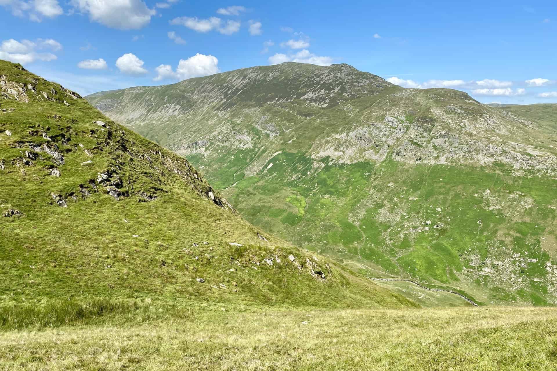
From left to right in the background is Dove Crag, Fairfield and St Sunday Crag, as seen from the footpath near Bleaberry Knott.
ADVERTISEMENT
Looking over to the mighty St Sunday Crag from Hoggill Brow.
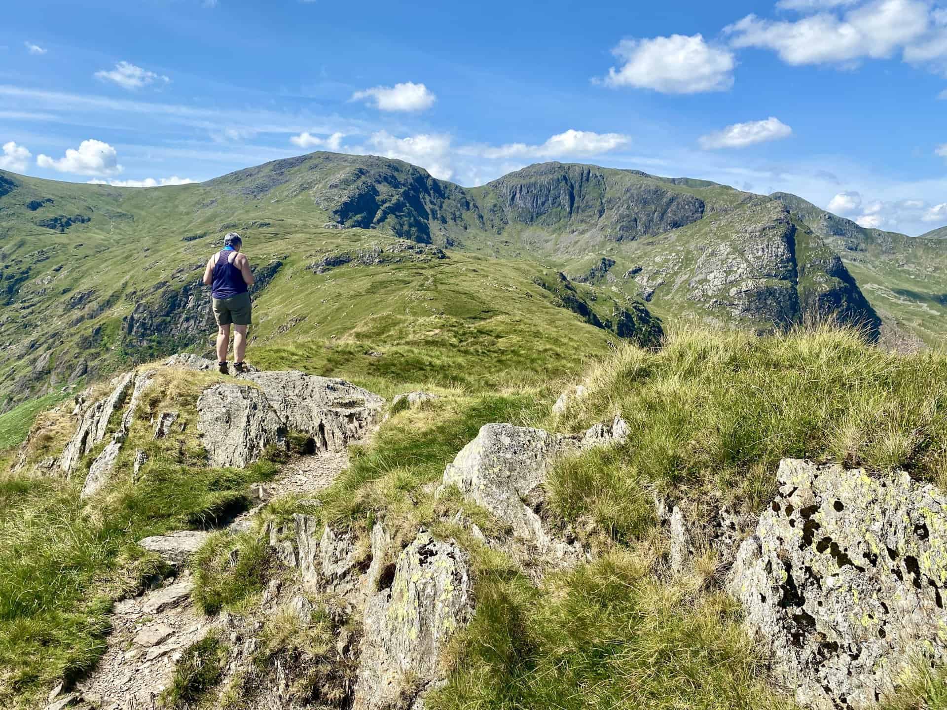
Crossing Hartsop above How with Hart Crag directly ahead. Roughly one-third of the way round our Hart Crag walk.
ADVERTISEMENT
Dollywaggon Pike and High Crag (which form part of the Helvellyn range of mountains) make an appearance in the distance as we reach Blake Brow.
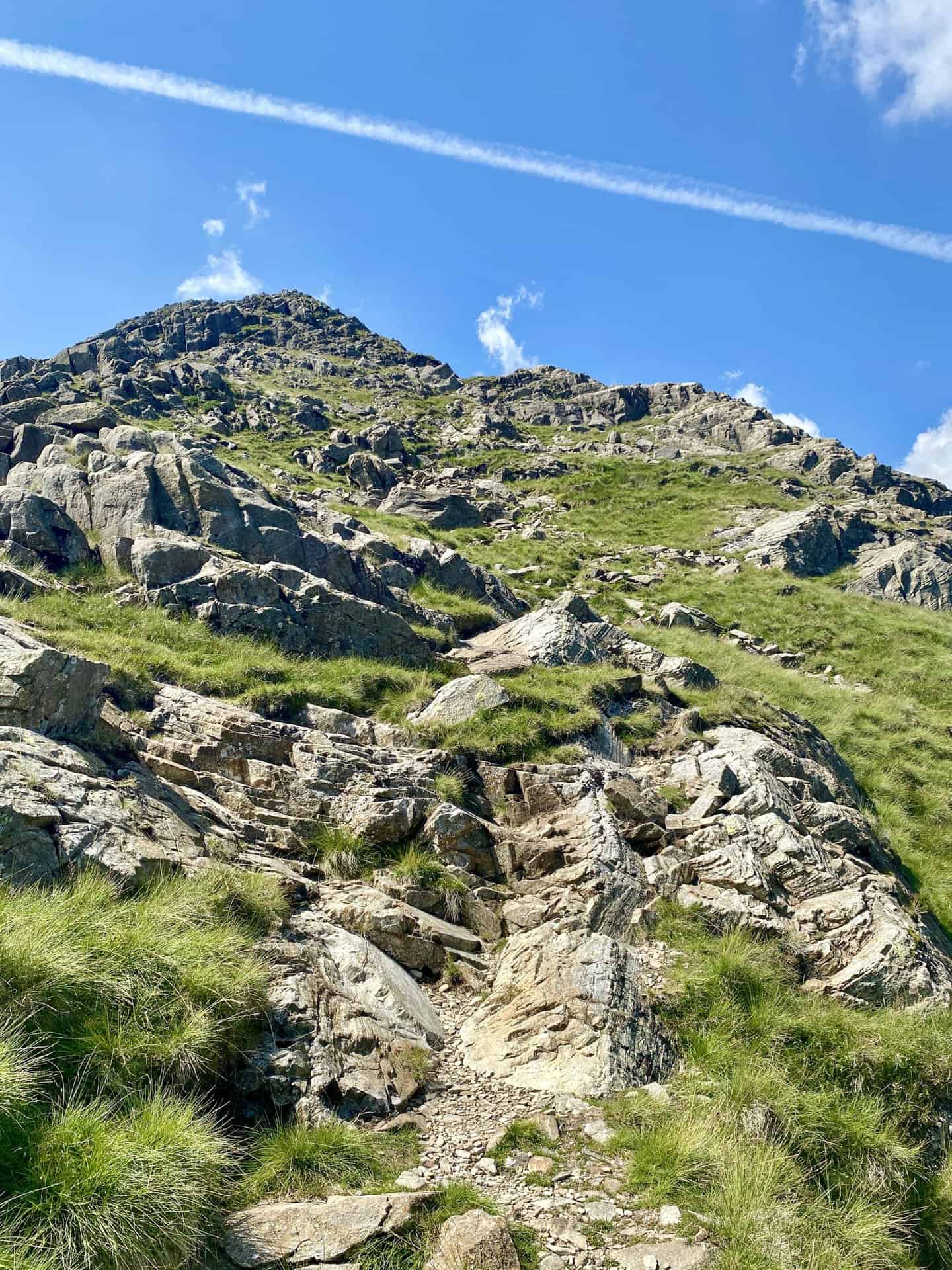
The last section of the ascent of Hart Crag, rising from 650 metres to 820 metres.
ADVERTISEMENT
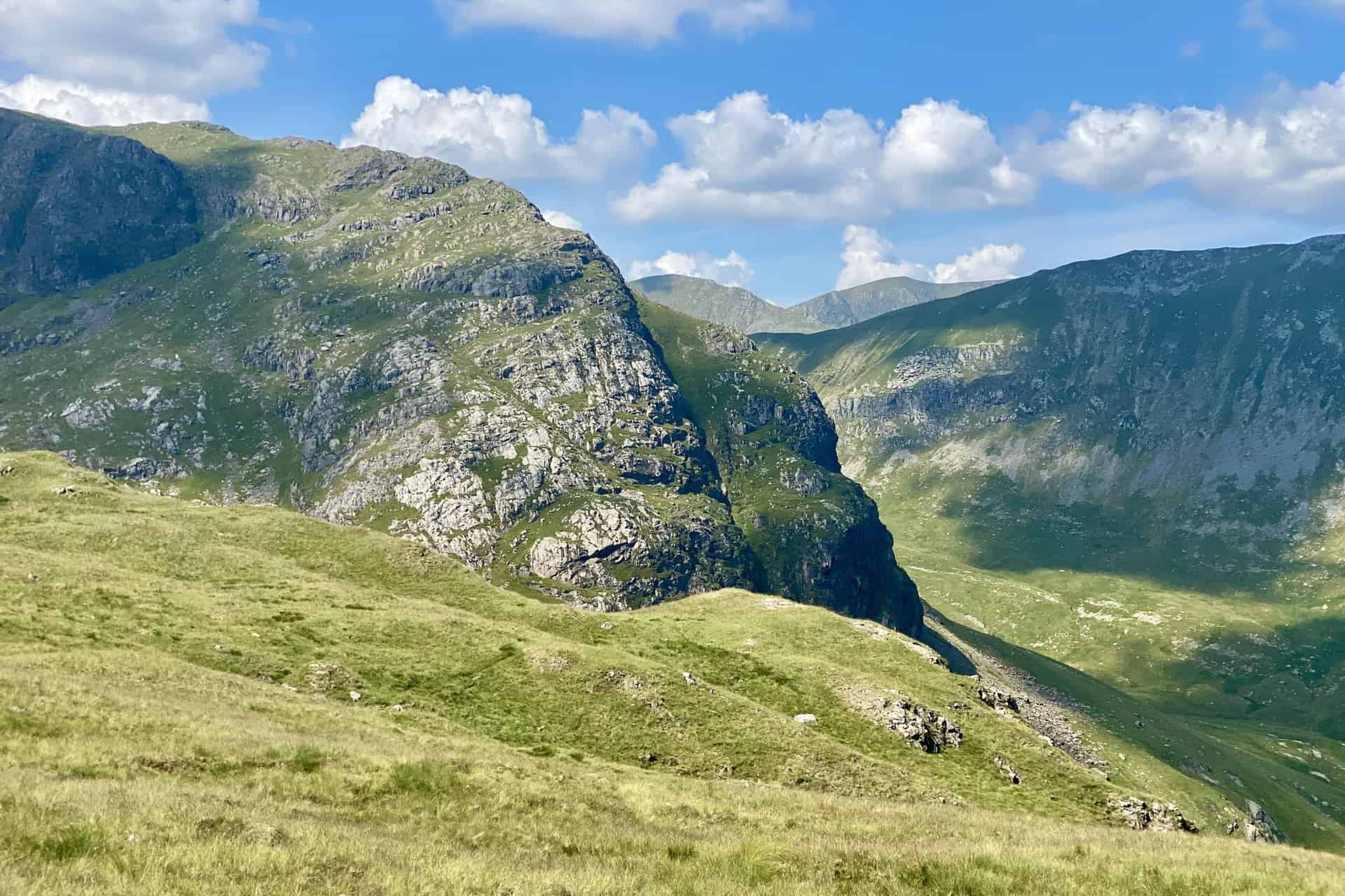
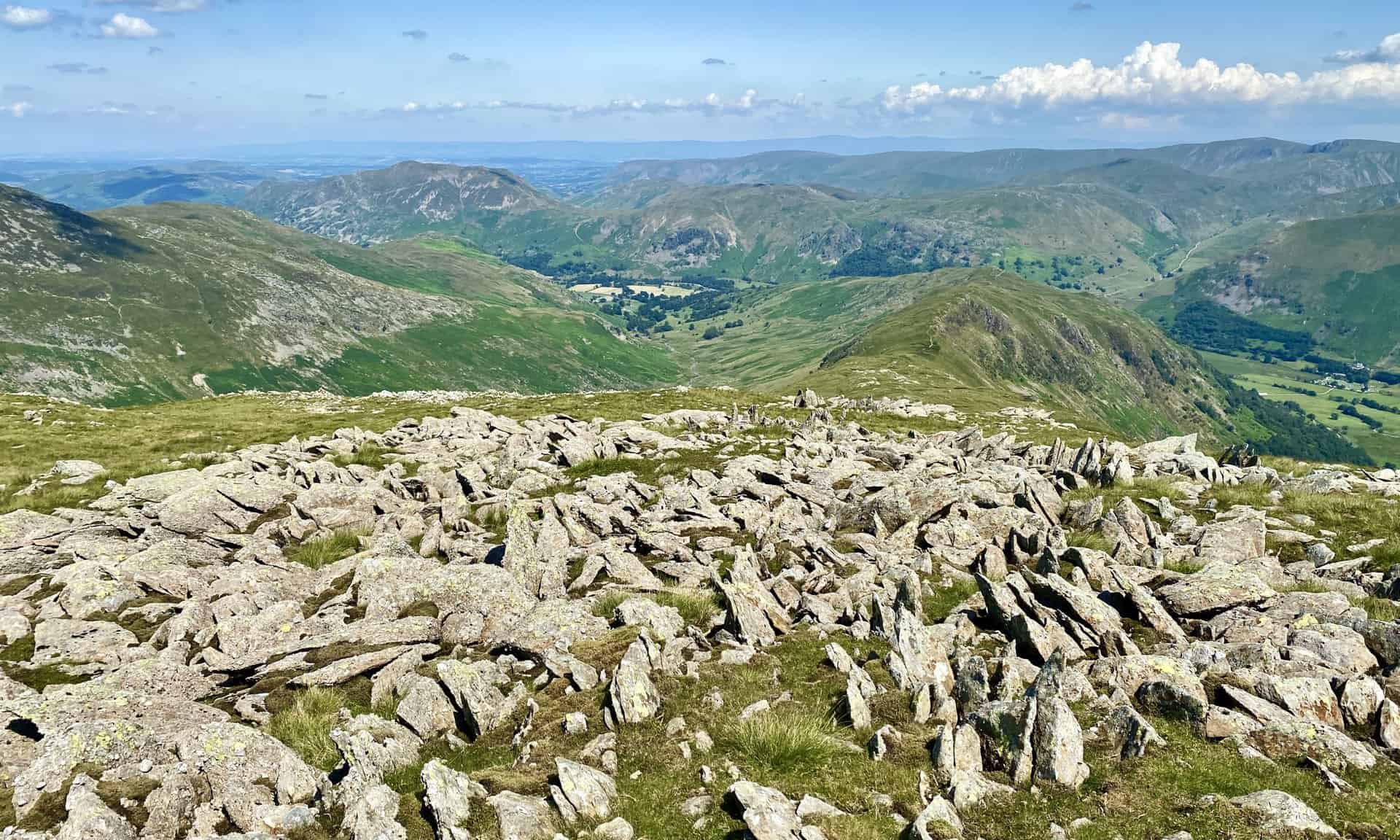
Superb views from the summit of Hart Crag, height 822 metres (2697 feet).
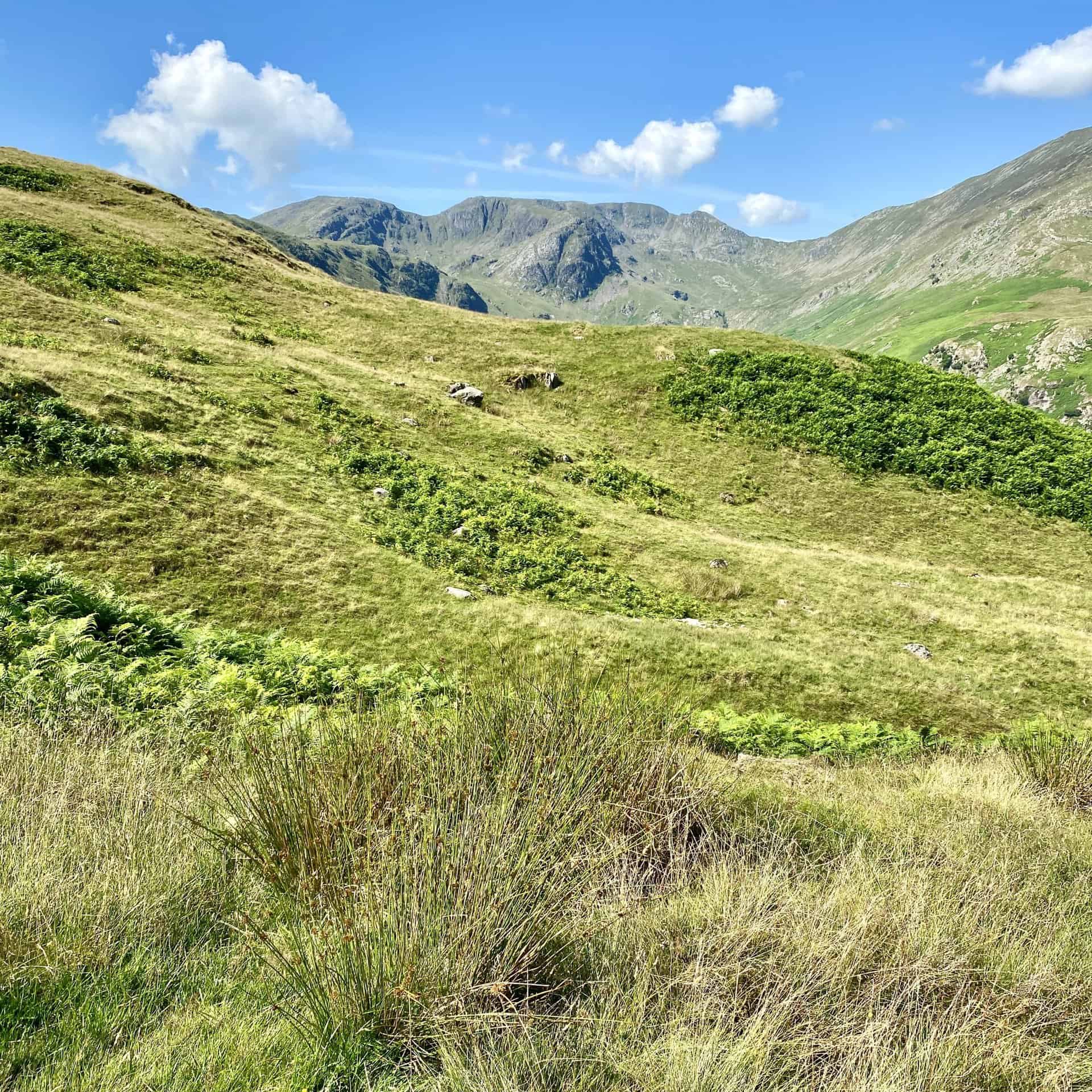
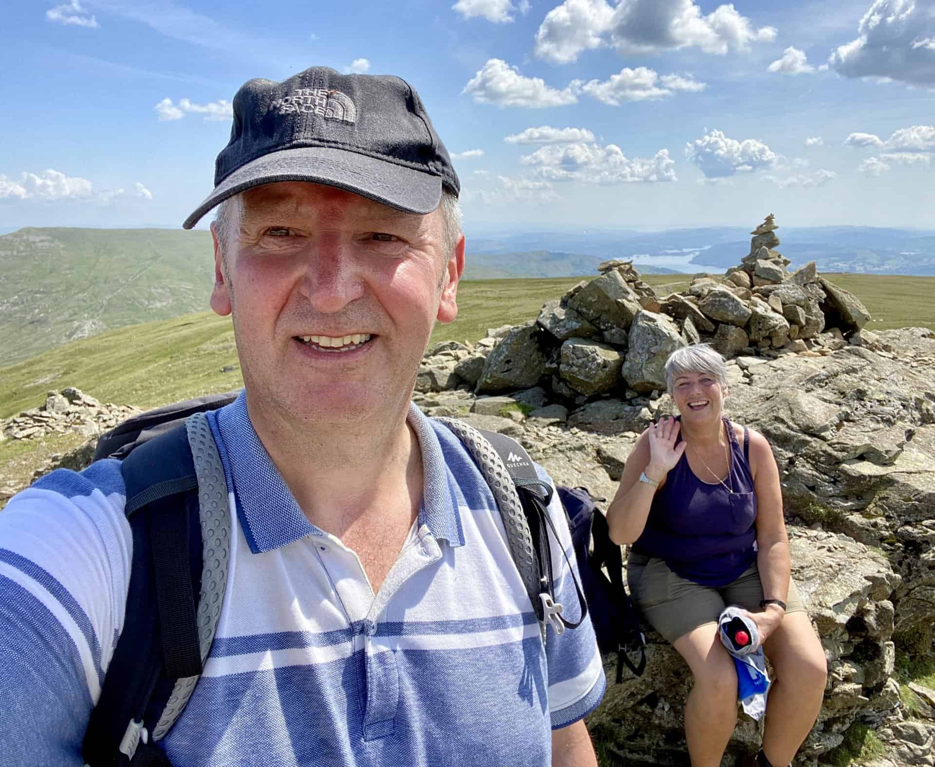
Angy and I on the summit of Dove Crag, height 792 metres (2598 feet). This is the half way point of our Hart Crag walk.
ADVERTISEMENT
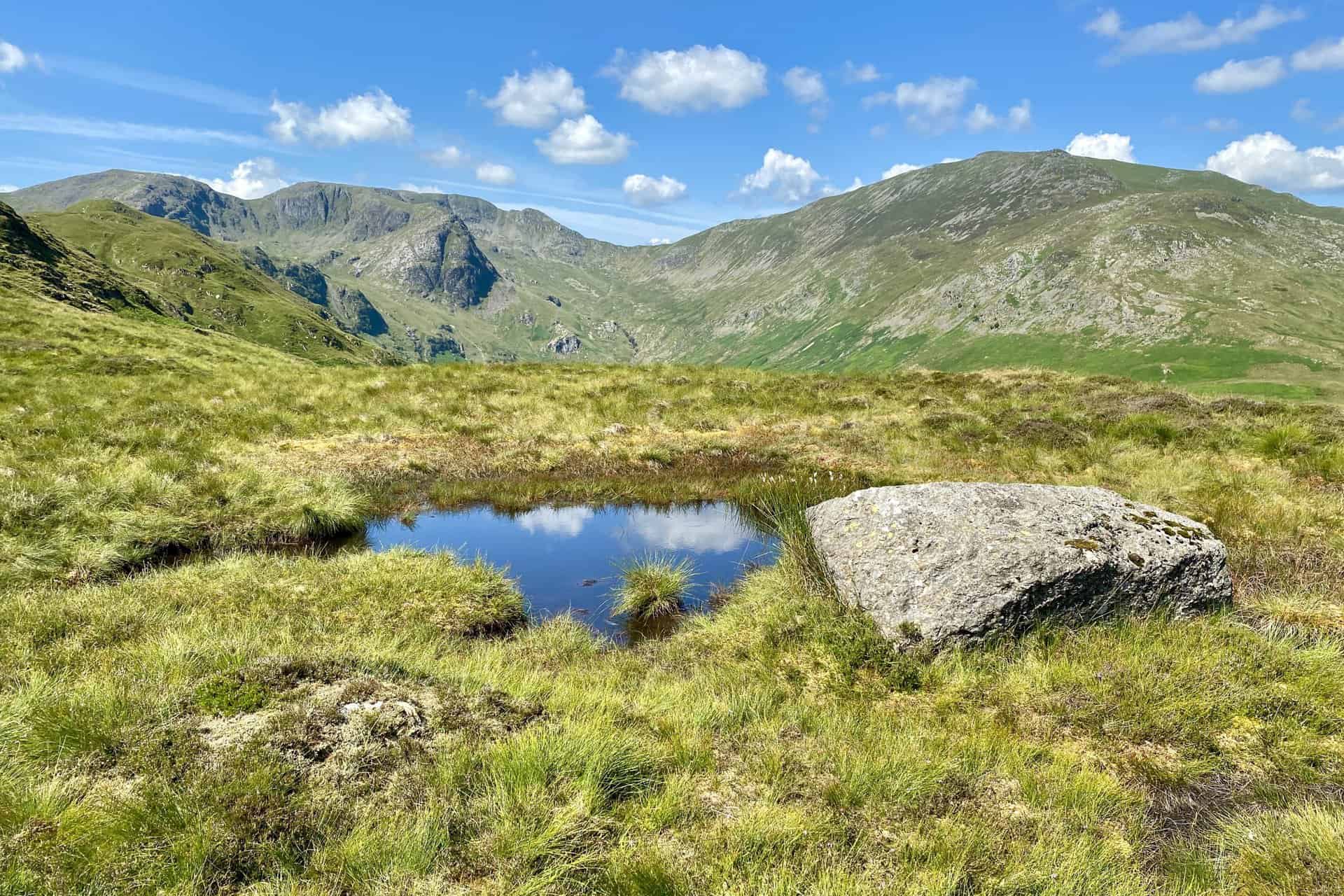
Brothers Water becomes visible as we head south-west from Dove Crag to Scandale Pass.
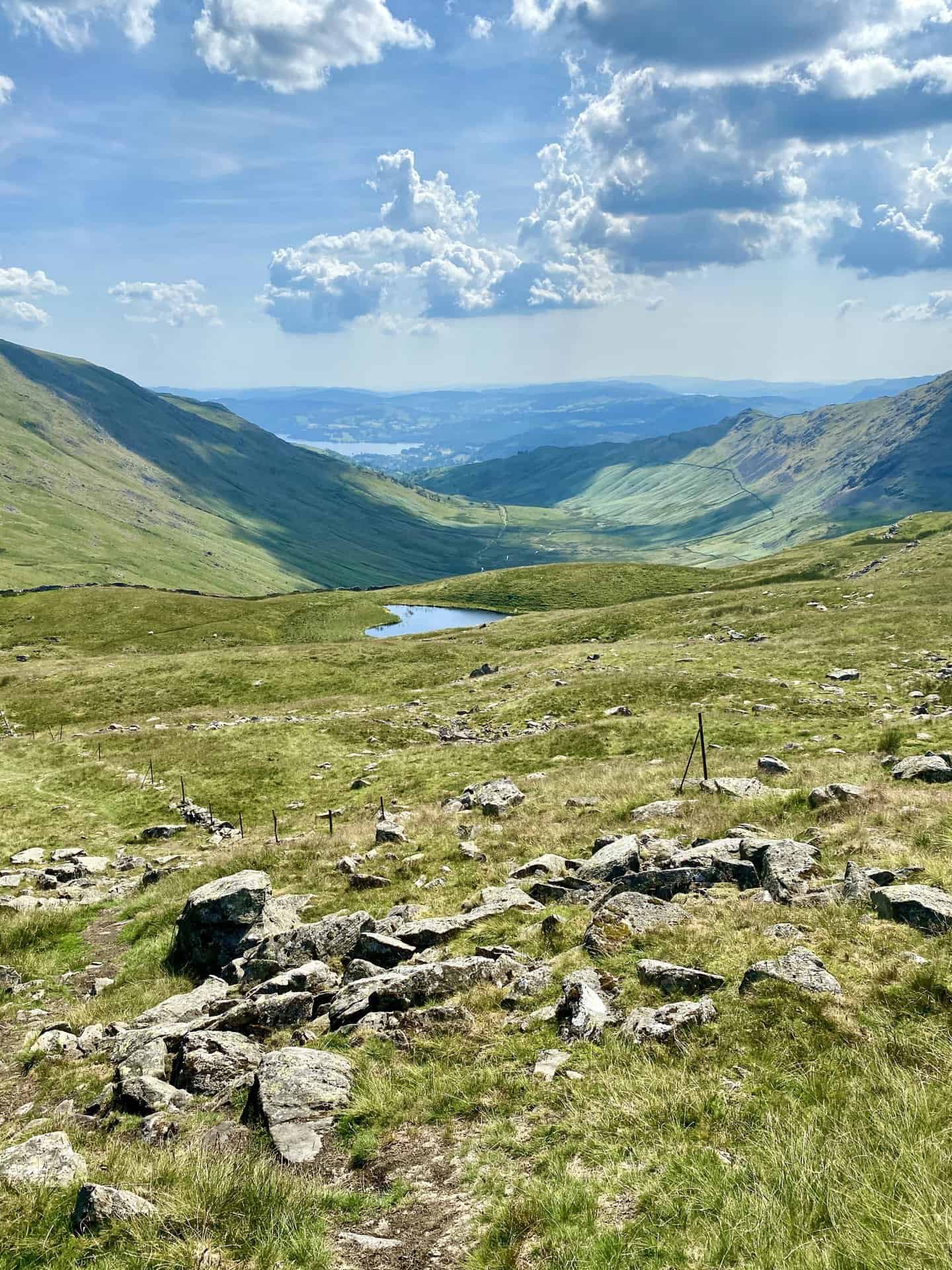
The view south towards Ambleside and the northern tip of Windermere. The small body of water in the foreground is Scandale Tarn.
ADVERTISEMENT
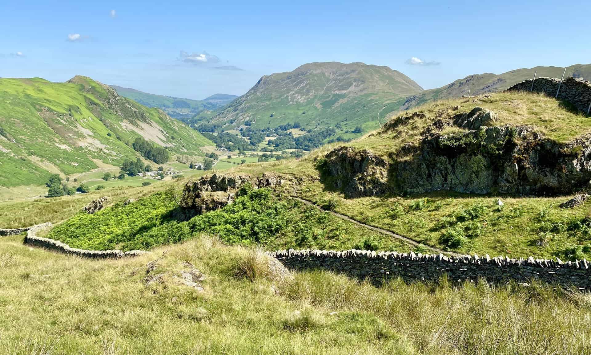
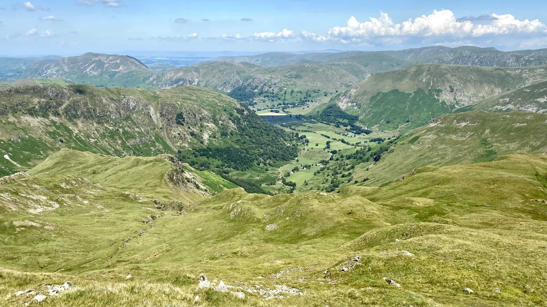
The route through Caiston Glen alongside Caiston Beck. At this point we are over two-thirds of the way round our Hart Crag walk.
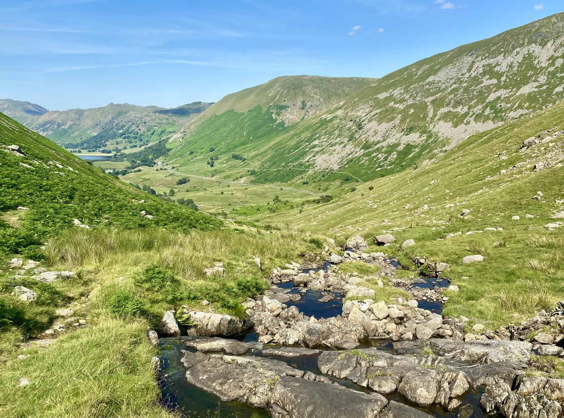
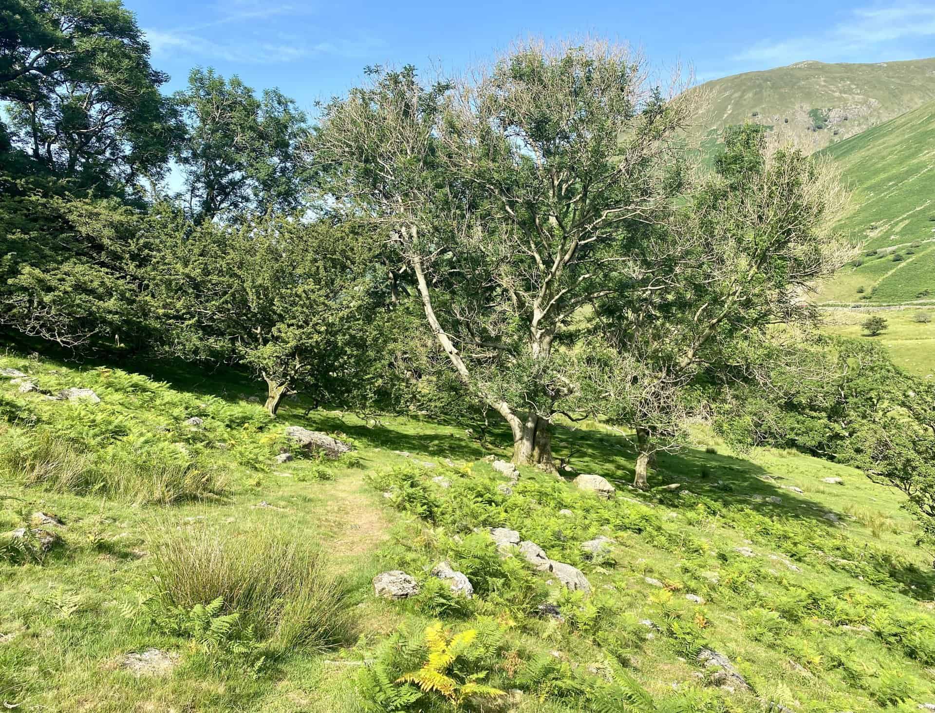
Beautiful countryside and easier paths through the valley on the way to Brothers Water.
ADVERTISEMENT
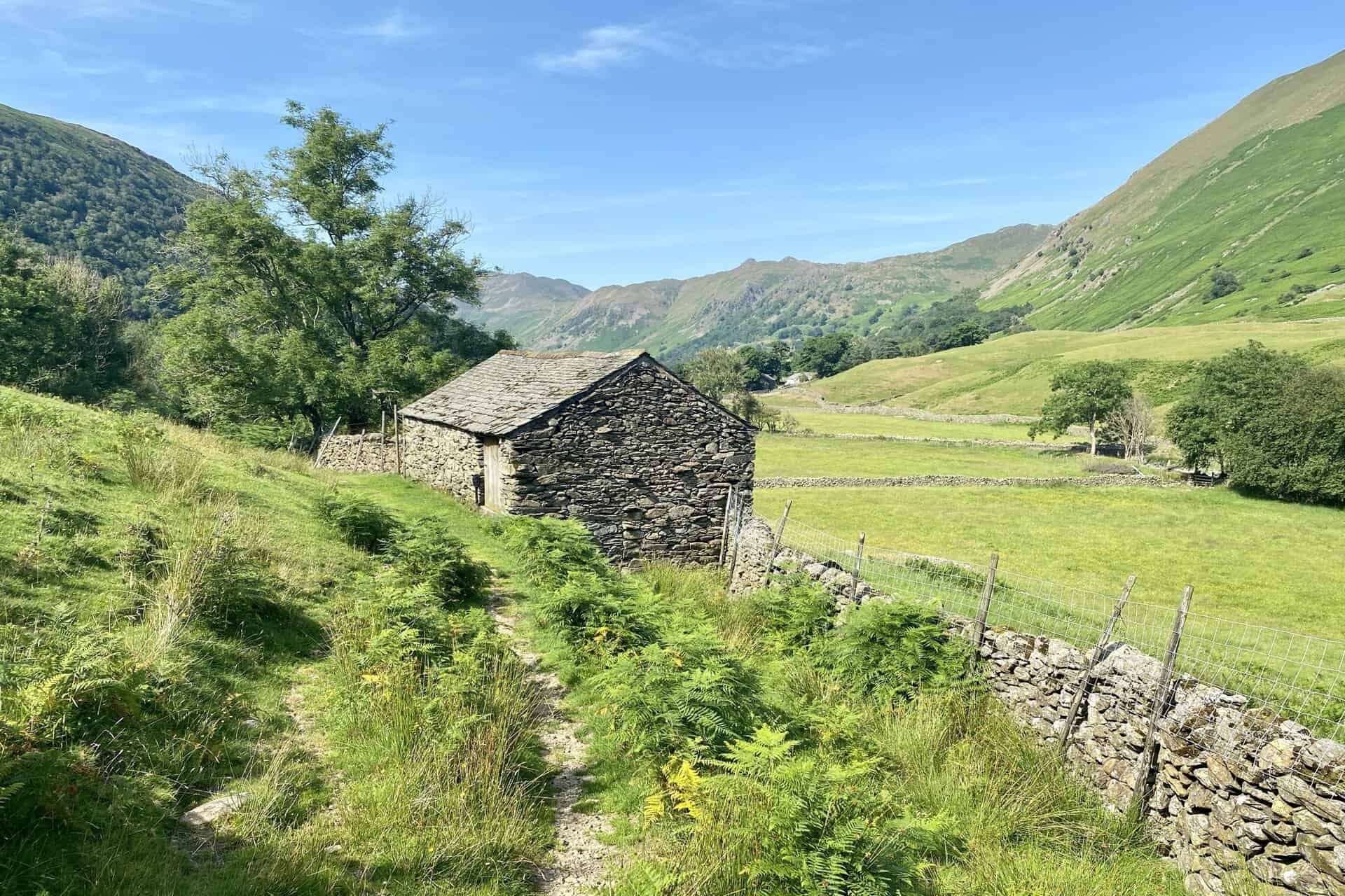
Stone track on the west side of Brothers Water back to the car park and the end of our amazing Hart Crag walk.

ADVERTISEMENT