North from Horton in Ribblesdale via New Houses to meet the Pennine Way near Sell Gill Holes. Further north to Birkwith Moor, briefly west to Old Ing and north again to Cam End. North-east to reach the cairn at the junction of the Pennine Way and the Dales Way before returning to Cam End and continuing in a south-westerly direction to Gearstones. South-east on the Ribble Way to Dismal Hill by way of Nether Lodge and God’s Bridge and finally south back to Sell Gill Holes to rejoin the Pennine Way and return to the village. A 15-mile walk in the Yorkshire Dales.
Recommended Ordnance Survey Map
The best map to use on this walk is the Ordnance Survey map of the Yorkshire Dales Southern & Western Area, reference OS Explorer OL2, scale 1:25,000. It clearly displays footpaths, rights of way, open access land and vegetation on the ground, making it ideal for walking, running and hiking. The map can be purchased from Amazon in either a standard, paper version or a weatherproof, laminated version, as shown below.
Standard Version
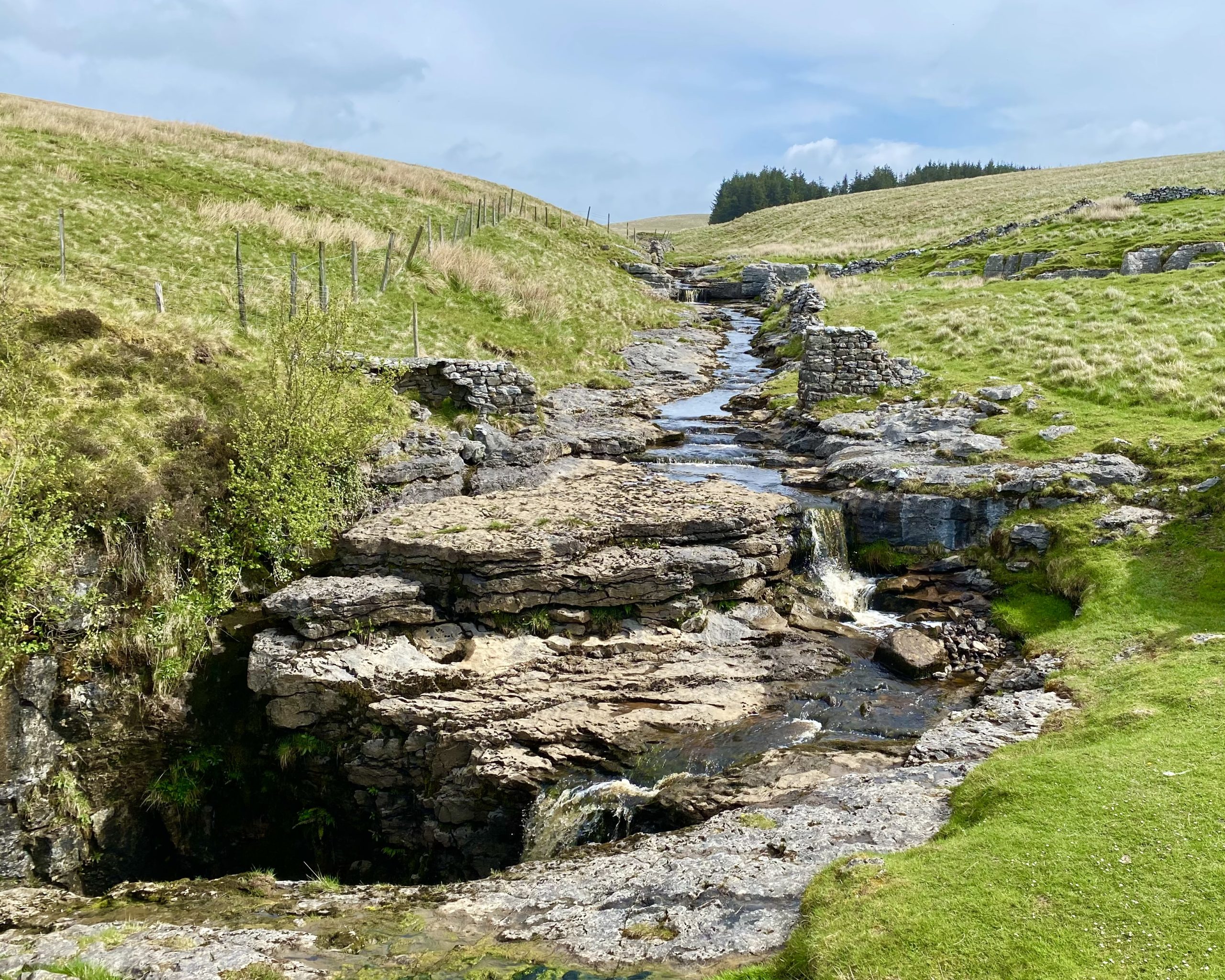
A stream flows off Cave Hill and disappears into a hole just north of Old Ing.
Heading north along the Pennine Way at Dry Lathe.
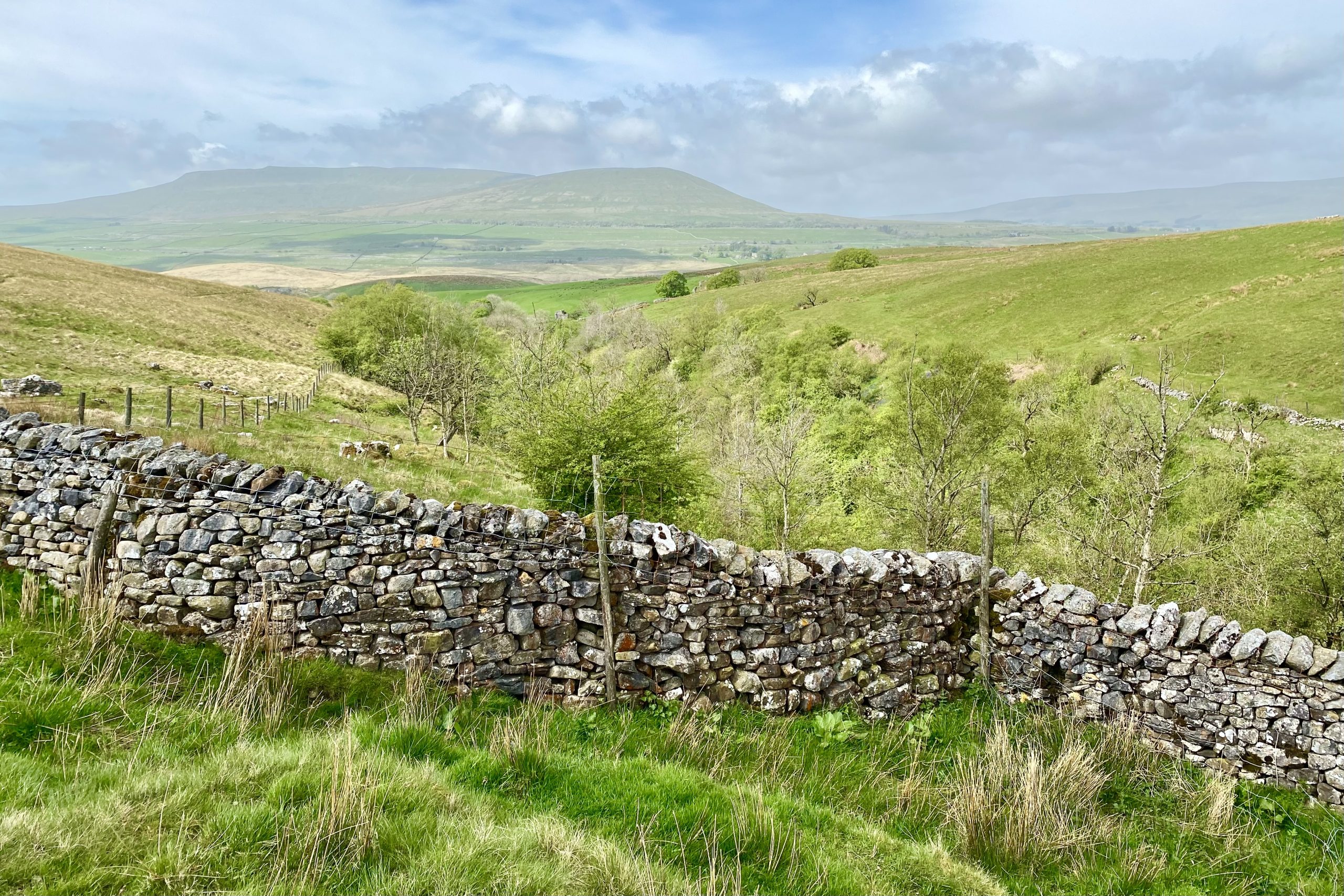
The view south-west from Ling Gill towards Park Fell and Simon Fell.
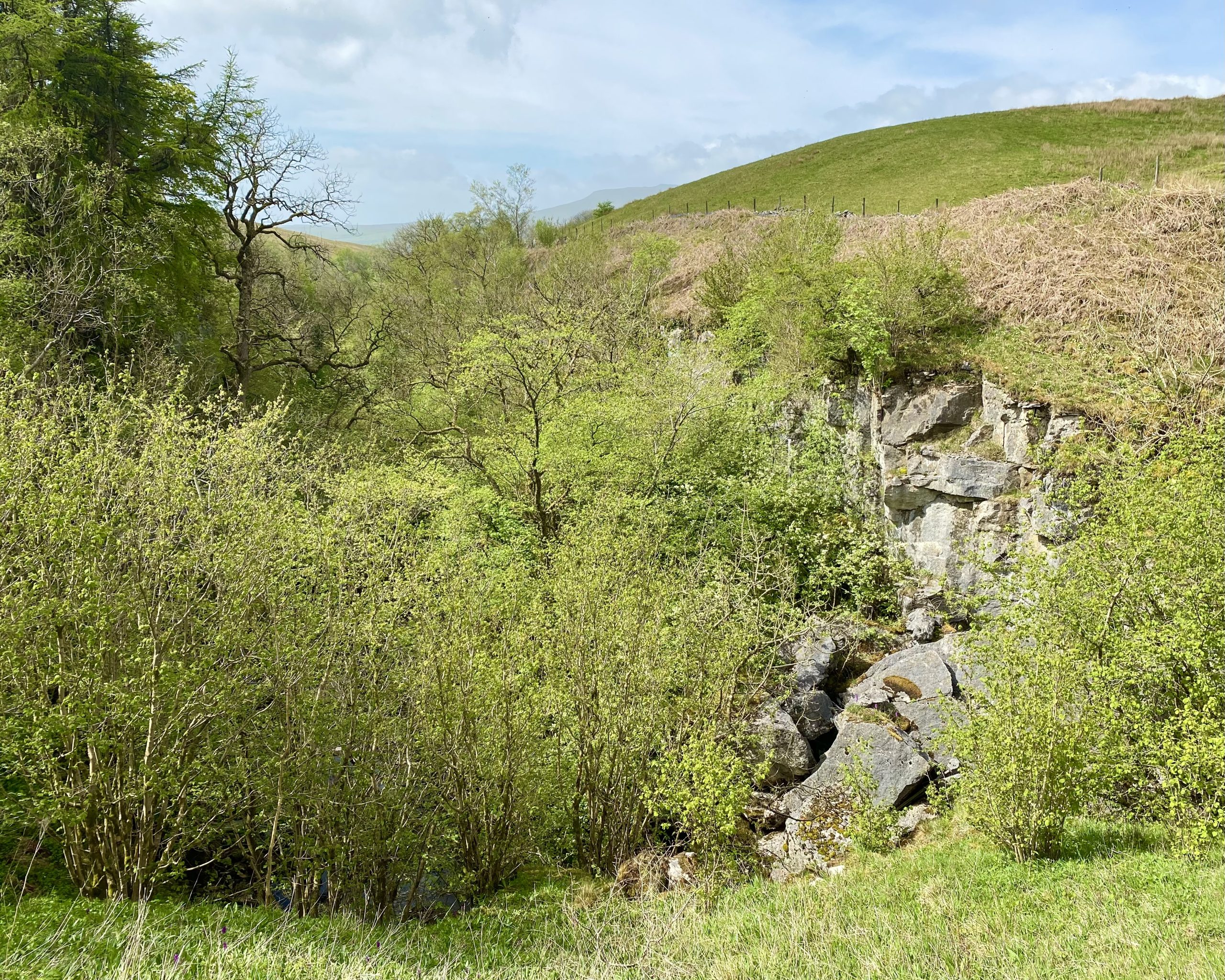
Ling Gill National Nature Reserve
Ling Gill is a small upland woodland situated in a narrow limestone
gorge. This type of woodland is now scarce but the trees in Ling Gill
have survived because the steep slopes and cliffs have prevented
access to grazing animals.
Tree and shrub species present include birch, rowan, ash and bird
cherry. Beneath the trees there is a rich ground flora, including
baneberry, globe-flower and melancholy thistle.
Ling Gill Beck flows through the ravine over a series of waterfalls,
descending about 30 metres as it passes through the reserve.
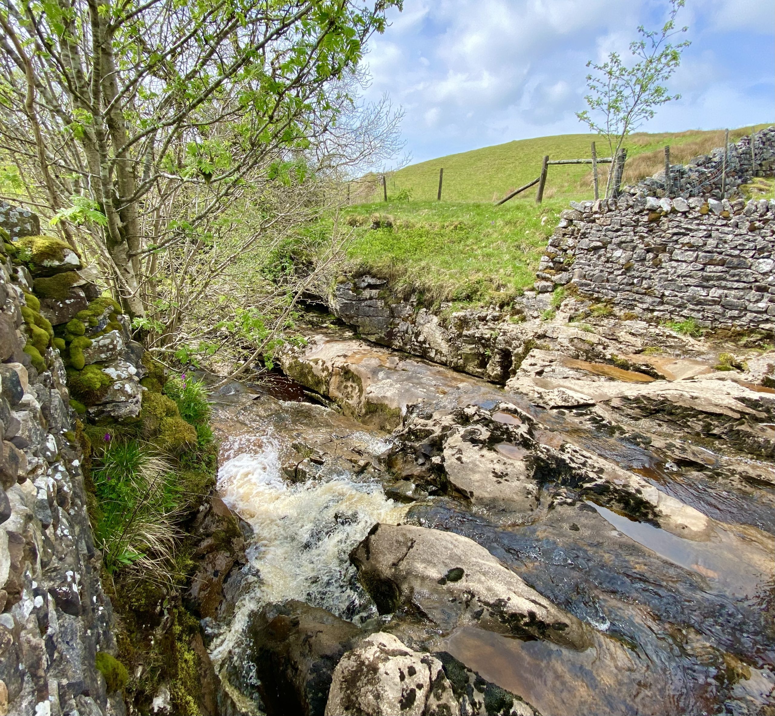
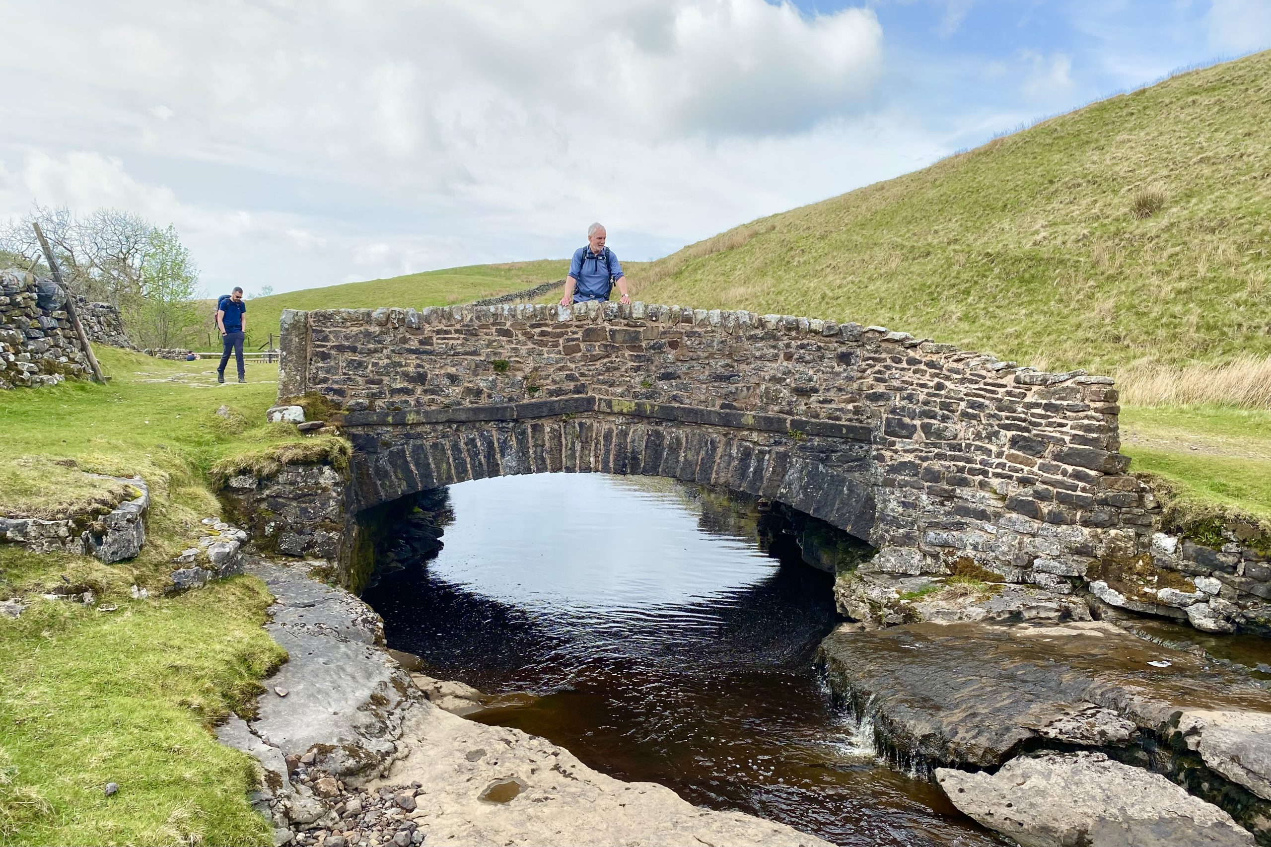
Ling Gill Beck and Ling Gill Bridge.
Cam End, height 438 metres (1437 feet). The track is an old Roman road and leads downhill in the direction of Ribblehead Viaduct.

Cairn at the junction of the Pennine Way and the Dales Way, height 516 metres (1693 feet), about ¾ mile north of Cam Fell.

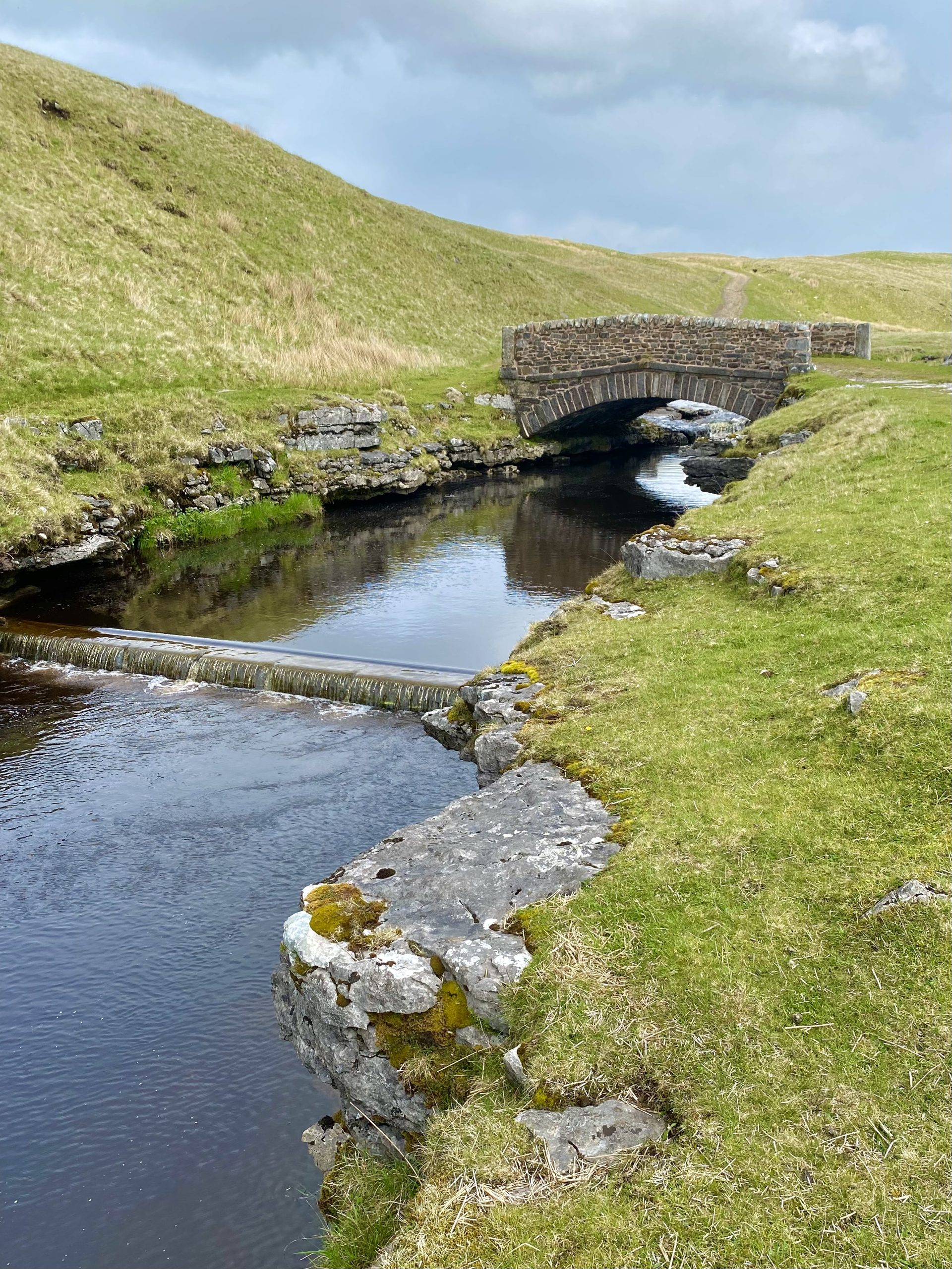
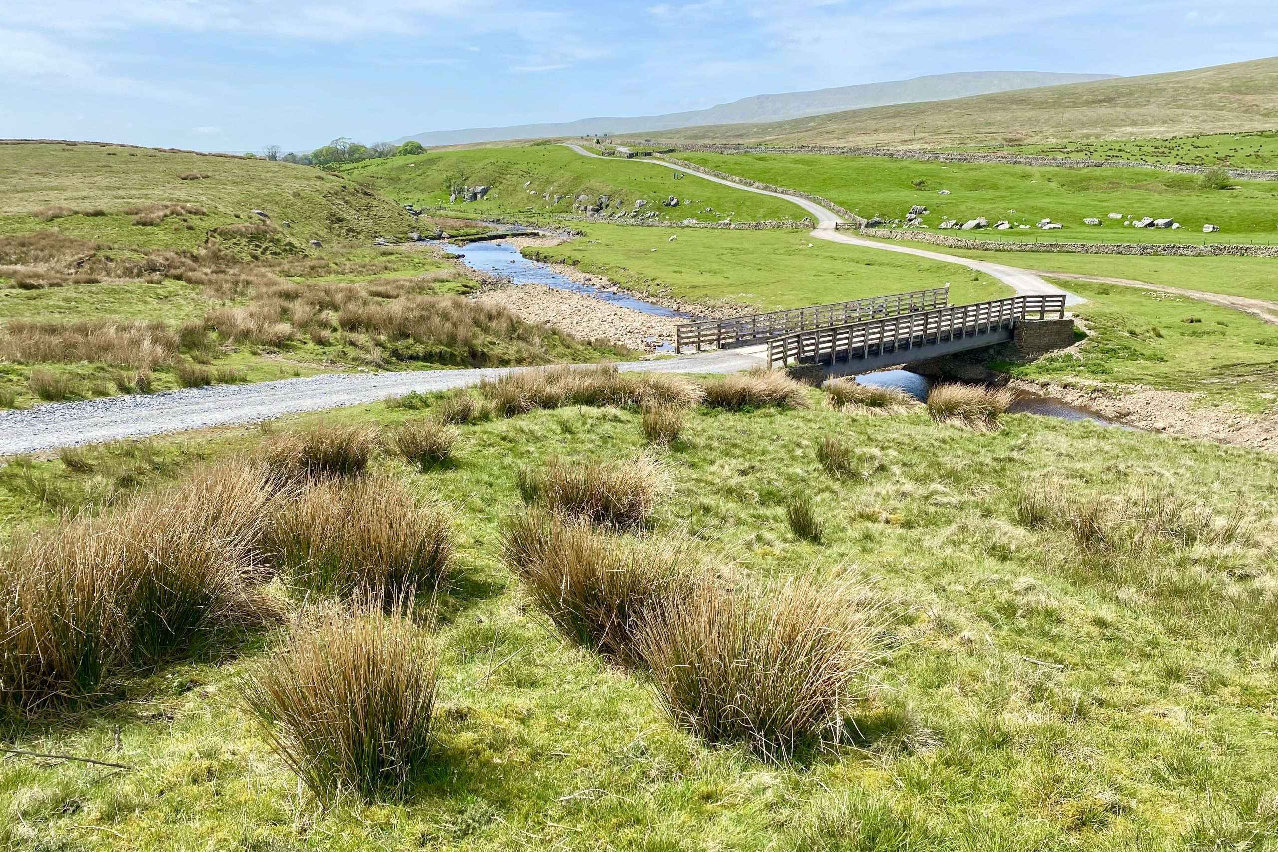
Bridge over Gayle Beck near Gearstones. The silhouette of Whernside is visible on the horizon.
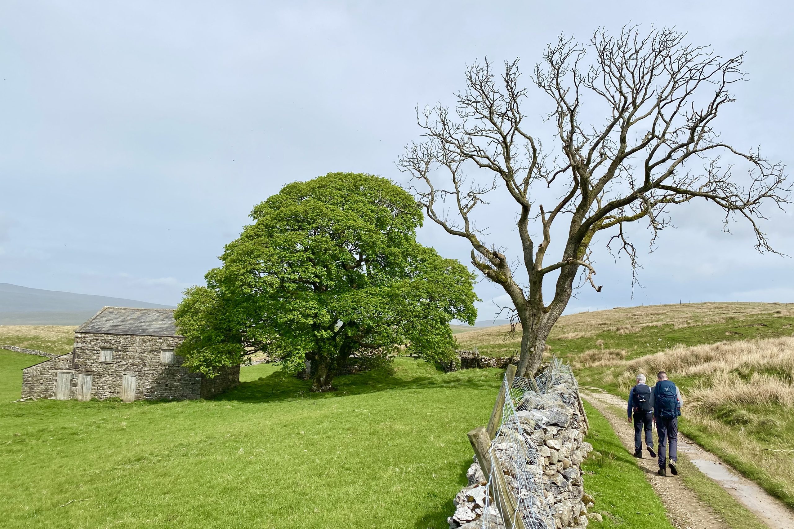
The route of the Ribble Way through a disused farm near Thorns.

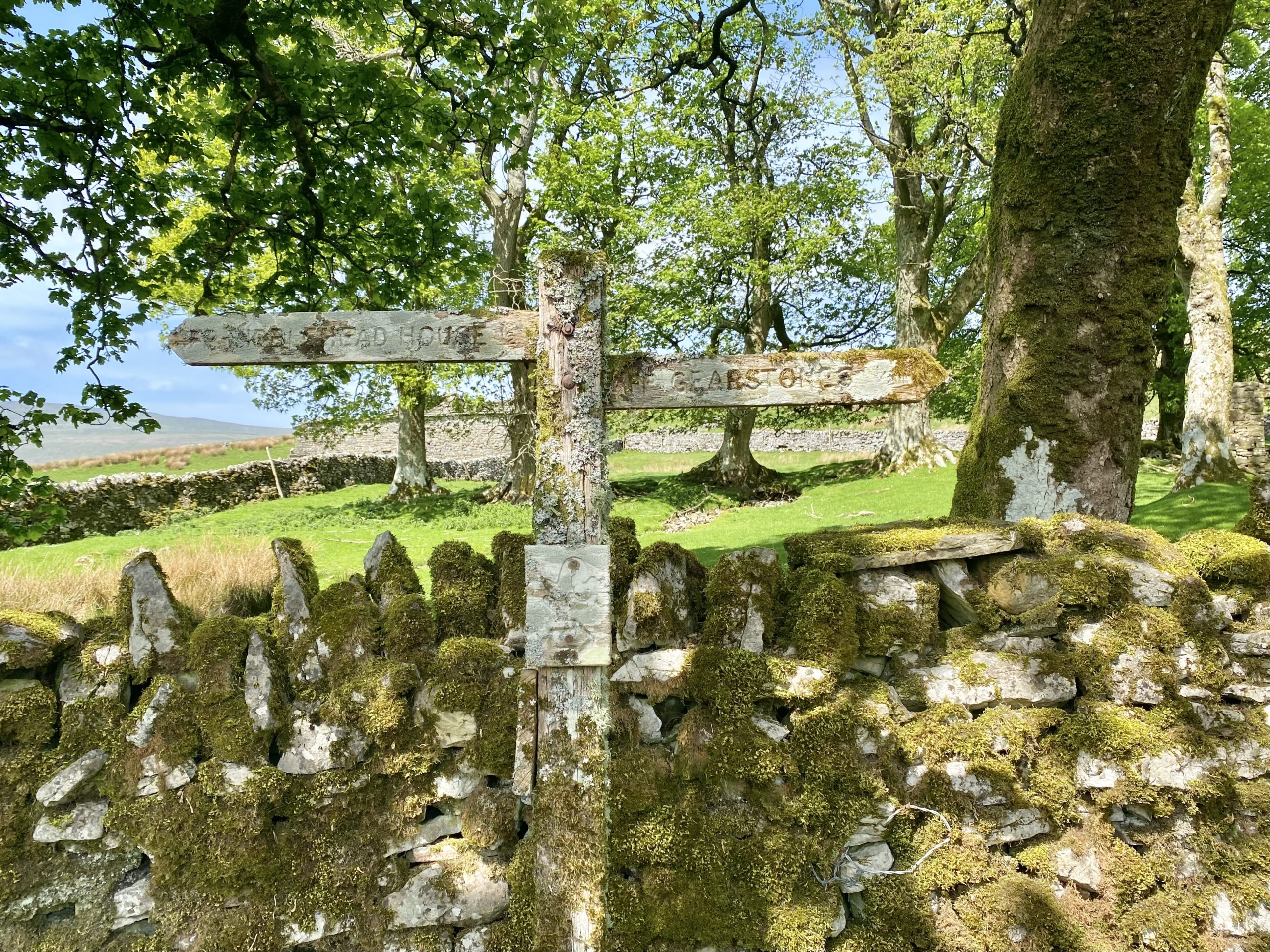
Moss-covered signpost near Thorns, with directions to Ribble Head House and Gearstones.
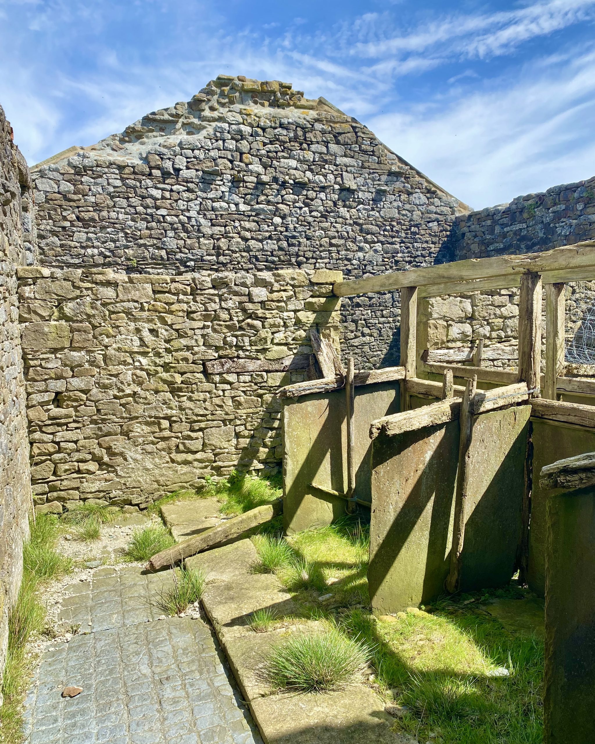
An old barn by the side of the Ribble Way near Thorns Moss. The individual cattle stalls are still intact inside the building.

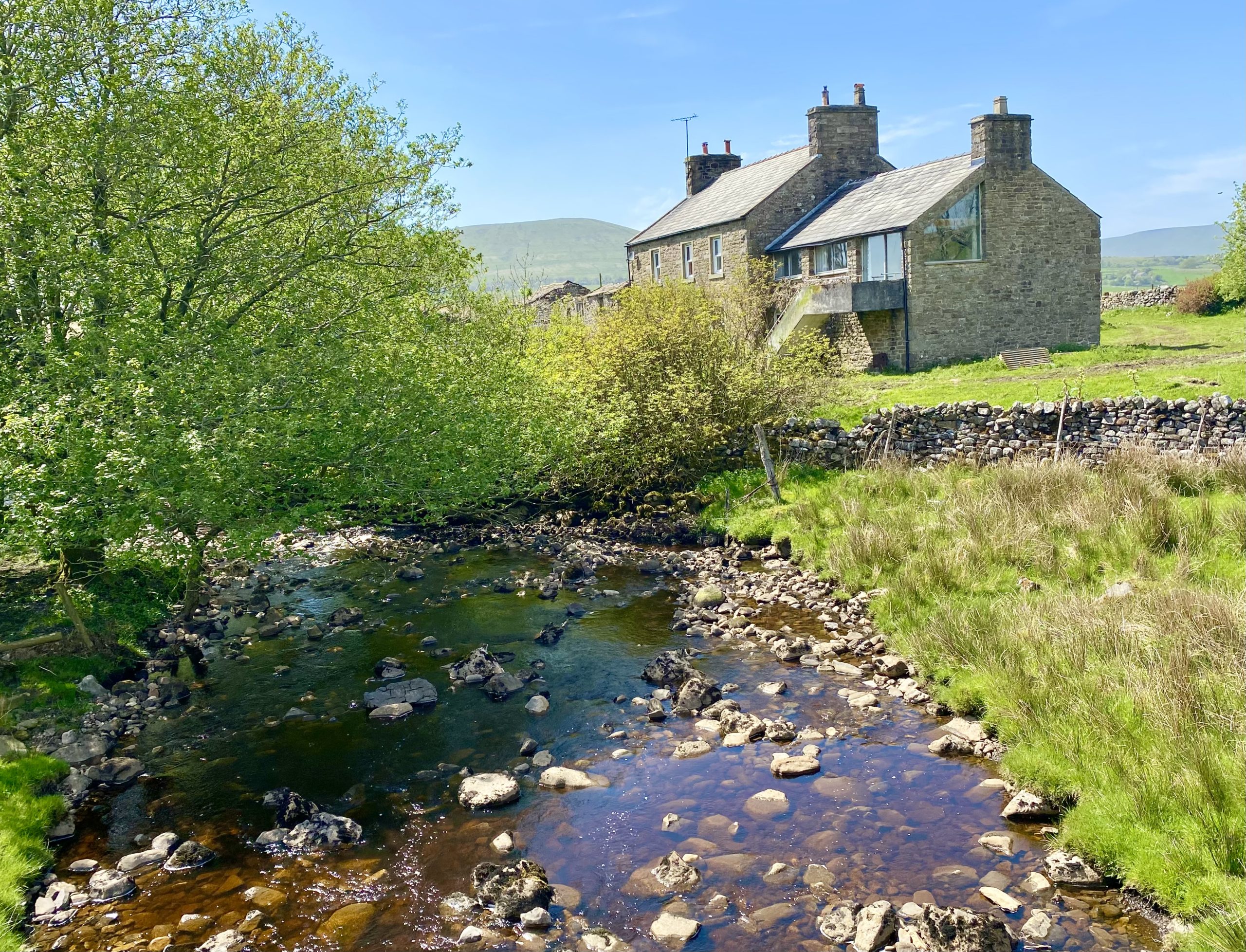
Nether Lodge by the side of Ling Gill Beck.
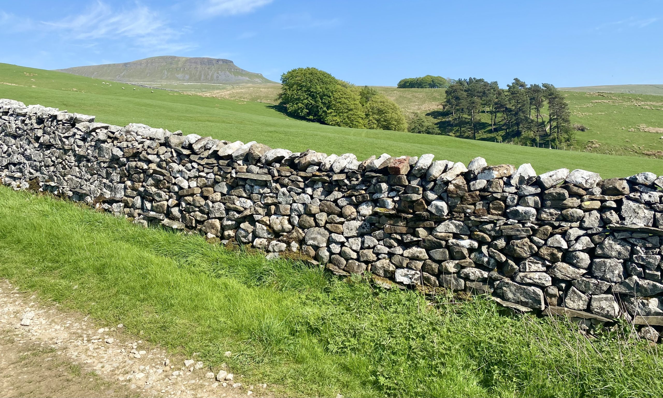
Pen-y-ghent as seen from the Pennine Way just north of Horton in Ribblesdale.