East from Burniston along Field Lane to the coast, then north on the Cleveland Way / England Coast Path all the way to Ravenscar Tearooms. South on the Cinder Track to Cloughton, then back to Burniston via the footpath alongside the A171. A 14-mile walk along the Yorkshire Coast.
Recommended Ordnance Survey Map
The best map to use on this walk is the Ordnance Survey map of the North York Moors Eastern Area, reference OS Explorer OL27, scale 1:25,000. It clearly displays footpaths, rights of way, open access land and vegetation on the ground, making it ideal for walking, running and hiking. The map can be purchased from Amazon in either a standard, paper version or a weatherproof, laminated version, as shown below.
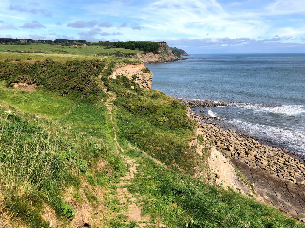
One of many dips in the Cleveland Way footpath between Saltburn and Filey. This is near Hundale Point, just south of Cloughton Wyke.
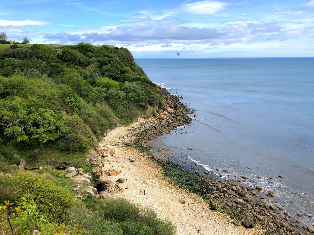
Cloughton Wyke.

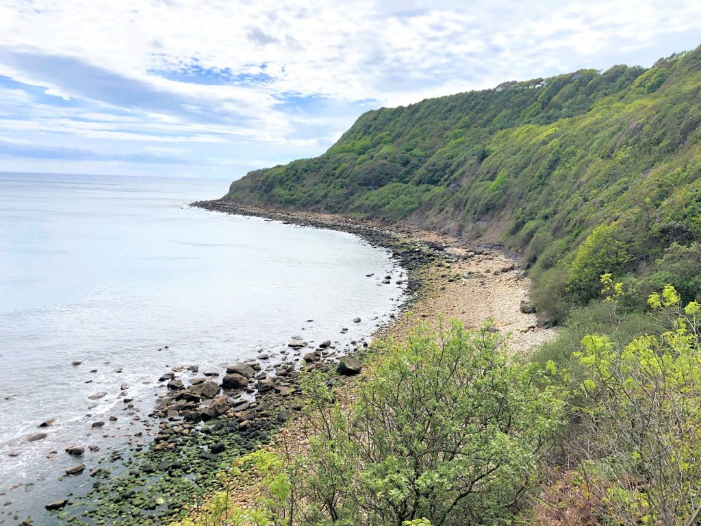
Hayburn Wyke.
The view south from Hayburn Wyke.
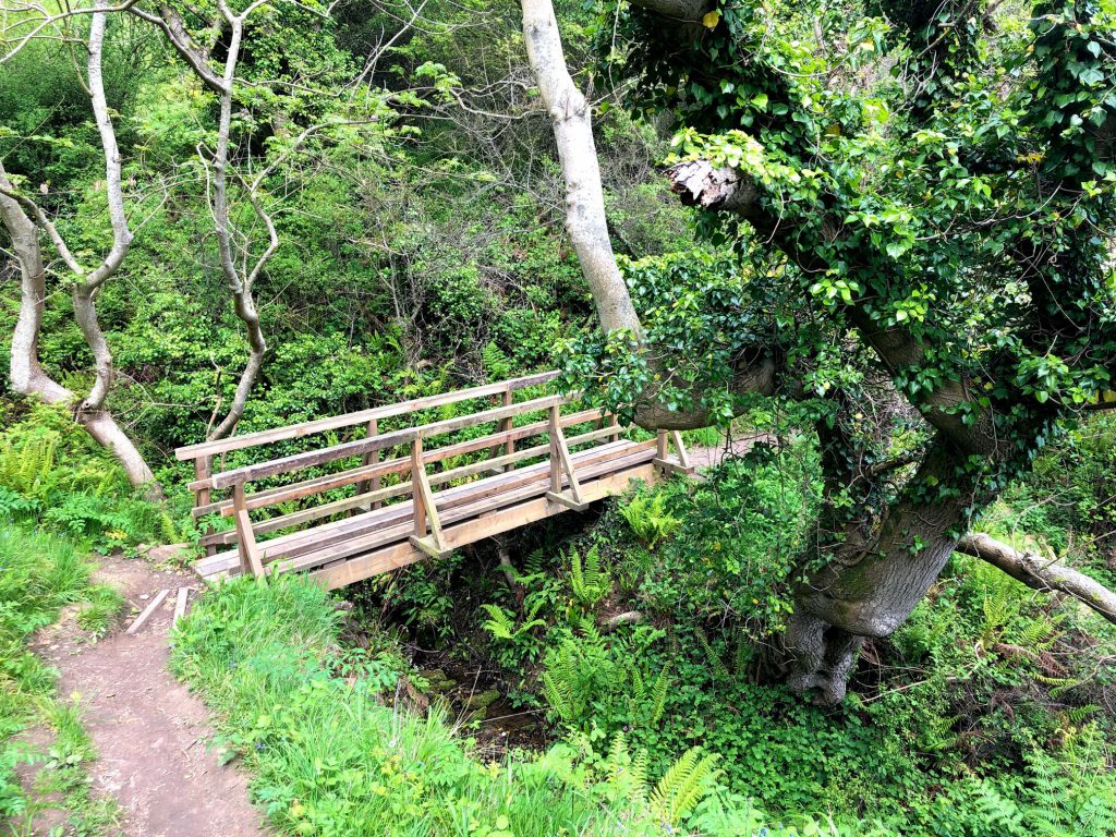
A new footbridge installed over a small stream at Hayburn Wyke. A significant landslip closed the Cleveland Way in this area for about a year. Extensive work was carried out by the Cleveland Way National Trail volunteers, including the erection of new staircases and boardwalks.

Common Cliff, just south of Ravenscar.
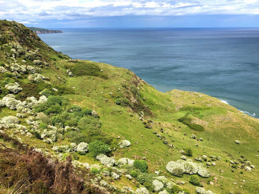
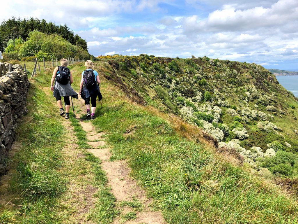
The Cleveland Way above Common Cliff, just south of Ravenscar.
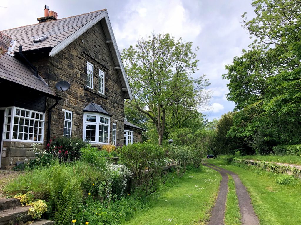
The former railway station at Staintondale, in use from 1885 to 1965. The station is on the old Scarborough to Whitby railway line and is now used for residential purposes. The railway platform opposite the building is still in place.