Experience the Esk Valley Walk Long Distance Path in the North York Moors
This circular walk features two distinct sections of the Esk Valley Walk Long Distance Path (LDP) in the North York Moors. Initially, the route commences in Castleton, journeying south through Danby Dale to Danby Head, before ascending to Westerdale Moor. Subsequently, the path resumes from the Esklets area, situated at Westerdale valley’s southernmost point, and meanders northward back to Castleton.
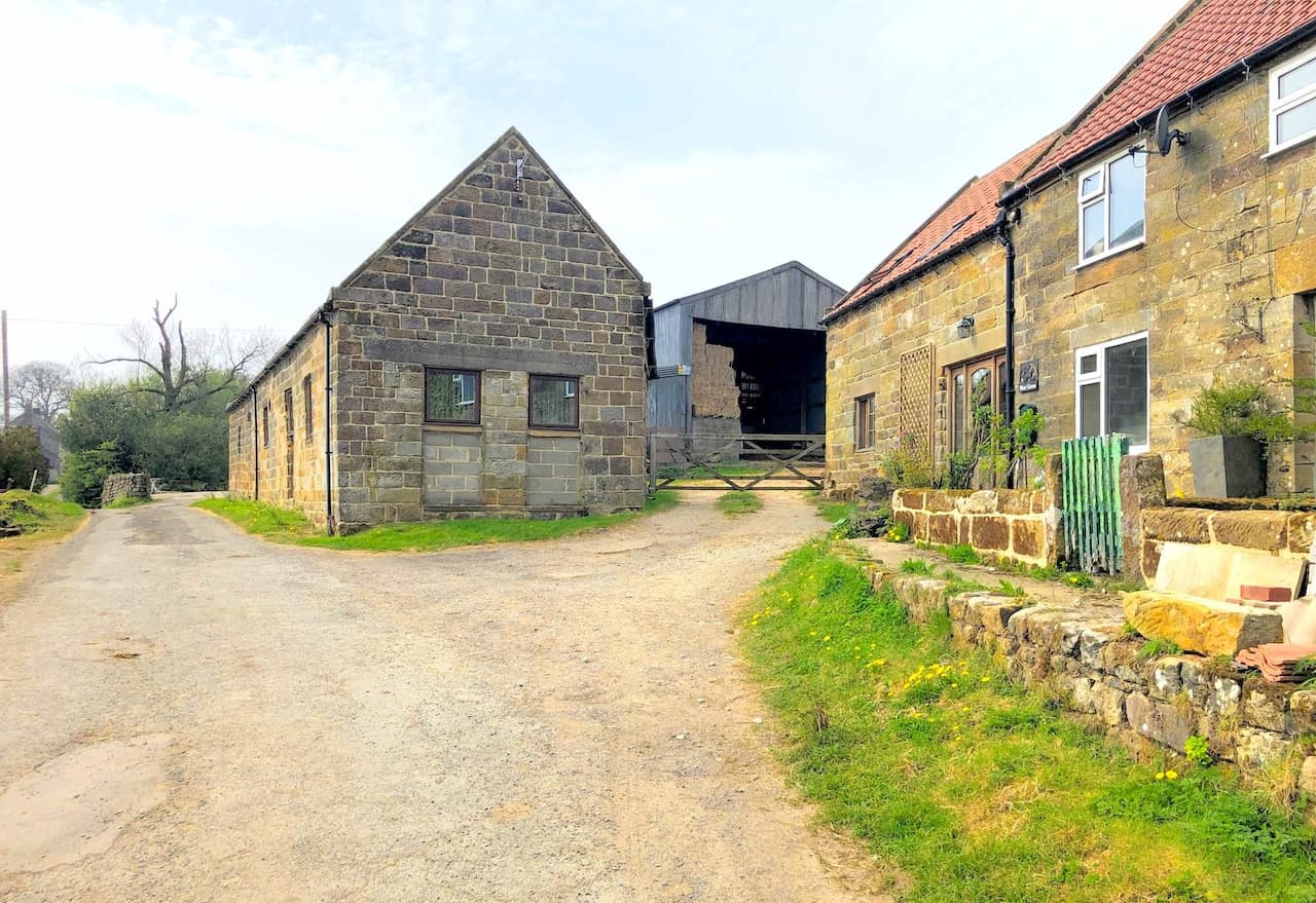
Begin the first leg of your journey by parking in High Castleton, where roadside parking is available on High Street. There is also a car park just off High Street on the minor road called Birk Field Road. From here, join the Esk Valley Walk, heading south-east then south across diverse fields and farmlands. This route will take you past several farms such as Plum Tree Farm and Blackmires, leading you to Honey Bee Nest at Danby Head.
Continue along the Esk Valley Walk, ascending from the valley to the moorland road. Proceed south across the moors until you reach another road, cross it, and then head south-west to encounter yet another road. Here, you will leave the Esk Valley Walk, venturing west across the moors on a trail descending into Westerdale valley’s southern extremity.
For the second section, reconnect with the Esk Valley Walk and navigate north through the valley. This path extends all the way to Hawthorn House, located just west of Westerdale village. Maintain a northerly then easterly direction, still on the Esk Valley Walk, which will lead you back to High Castleton.
It’s important to note that this walk does not encompass the entire 37-mile Esk Valley Walk LDP but rather a 12½-mile segment within the North York Moors, covering two key sections of the route. I’ve written about the LDP further down the page.
Esk Valley Walk: Maps and Tools
Visit either the OS Maps website or the Outdooractive website to view this walking route in greater detail. Both platforms offer a range of features, including the ability to print the route, download it to your device, and export the route as a GPX file. You can also watch a 3D fly-over and share the route on social media.
Esk Valley Walk: Distance, Duration, Statistics
Distance: 12½ miles
Distance: 20 kilometres
Duration: 6 hours
Ascent: 1918 feet
Ascent: 585 metres
Type: Circular walk
About the Esk Valley Walk Long Distance Path (LDP)
Overview of the Esk Valley Walk
The Esk Valley Walk is a long-distance footpath located in North Yorkshire. Initially, it forms a circular loop on the North York Moors, just south of Castleton. Subsequently, it follows the River Esk to its estuary in the North Sea at Whitby. The path is easily identifiable by waymarking that features a leaping salmon symbol, with footpaths marked in yellow and bridleways in blue.
Route Description
Starting from Castleton, the path heads south through Danby Dale to Danby Head. It then ascends out of the valley towards Rosedale Head, passing the Lion Inn on Blakey Ridge. Turning north-west, it crosses High Blakey Moor, skirts Esklets, and descends into Westerdale’s head. It proceeds through the Westerdale valley, returning to Castleton.
The journey then continues eastwards, tracing the River Esk to Whitby. From Castleton, the route passes through Danby Park to Danby village. It includes a visit to the North York Moors Danby Lodge National Park Centre. The path climbs to Danby Beacon, then heads east across Lealholm Moor and south past Lealholm Side into Lealholm village.
Moving south-east, it follows the river past Thorneywaite to Glaisdale. The route then descends to Carr End, weaves through East Arncliffe Wood to Delves, and continues along a road to Egton Bridge. Following a track roughly parallel to the Esk Valley Railway, it skirts north of Grosmont. The path goes through Esk Dale to Sleights, then to Ruswarp, and finally north-east to Whitby. The total length the Esk Valley Walk from Castleton to the North Sea at Whitby is approximately 37 miles.
Recommended Ordnance Survey Map
The best map to use on this walk is the Ordnance Survey map of the North York Moors Western Area, reference OS Explorer OL26, scale 1:25,000. It clearly displays footpaths, rights of way, open access land and vegetation on the ground, making it ideal for walking, running and hiking. The map can be purchased from Amazon in either a standard, paper version or a weatherproof, laminated version, as shown below.
Esk Valley Walk: My Photos
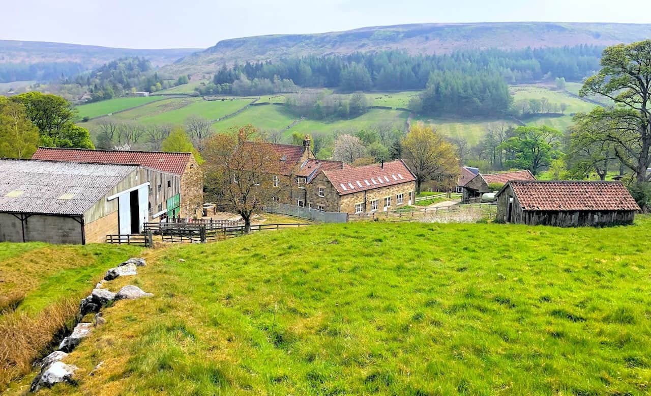
West Green Farm on the Esk Valley Walk in Danby Dale.
West Cliff Farm on the Esk Valley Walk in Danby Dale.

Walking in the Yorkshire Dales with 43 Circular Routes
AD This Cicerone guidebook includes 43 circular walks exploring valleys, hills, and moors between Kirkby Stephen and Pateley Bridge. With OS maps, local highlights, and routes ranging from 3–11 miles, it is a year-round companion for walkers of all abilities.
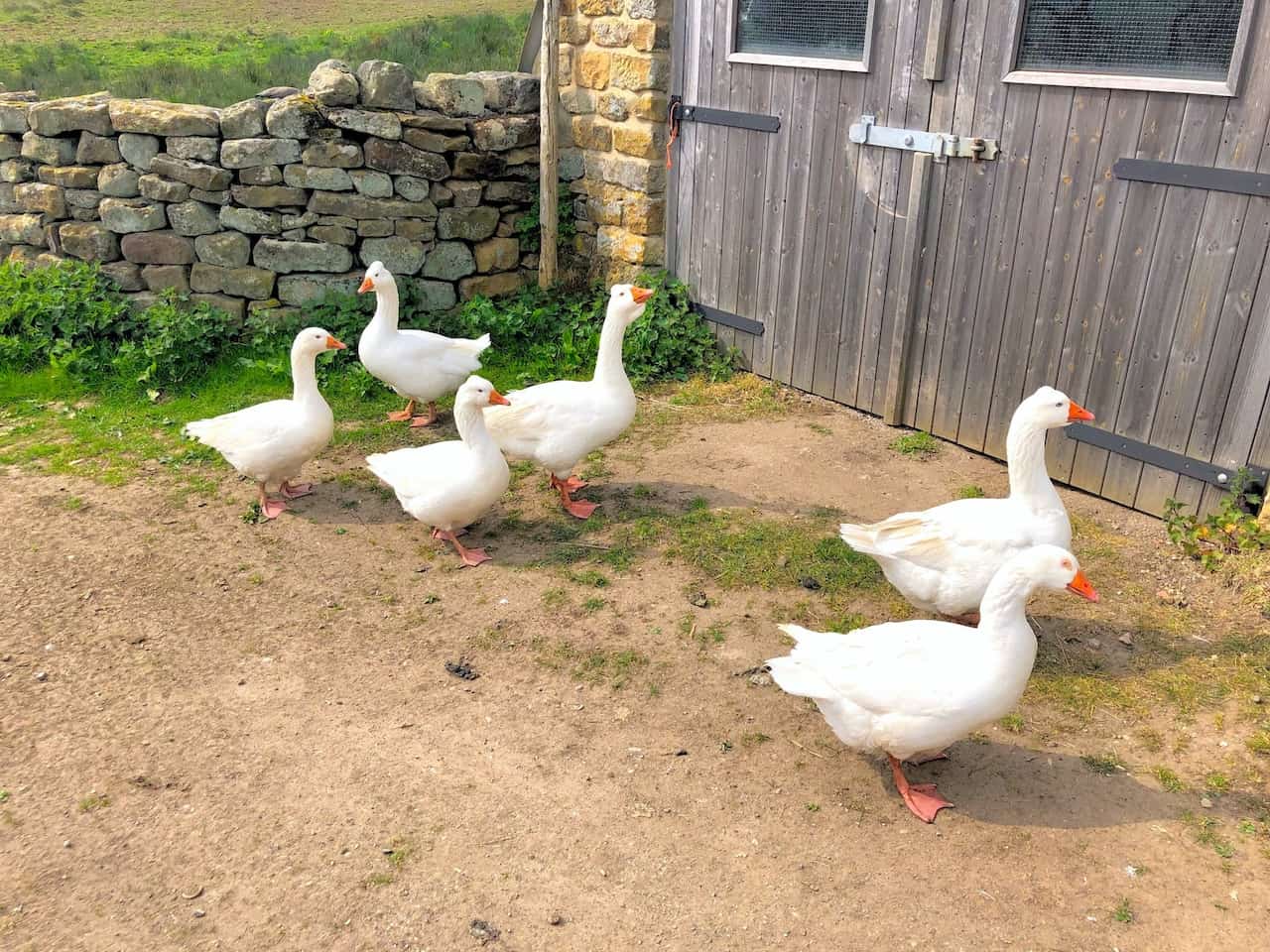
Embden geese at Blackmires.

Grisport Unisex Adult Peaklander Hiking Boots
AD The Grisport Unisex Adult Peaklander Hiking Boots are crafted in Italy with a durable waxed leather upper, Spotex breathable lining, and a reliable Track-on rubber sole. Waterproof and weighing just 1120g, they offer comfort, resilience, and dependable performance on demanding trails.
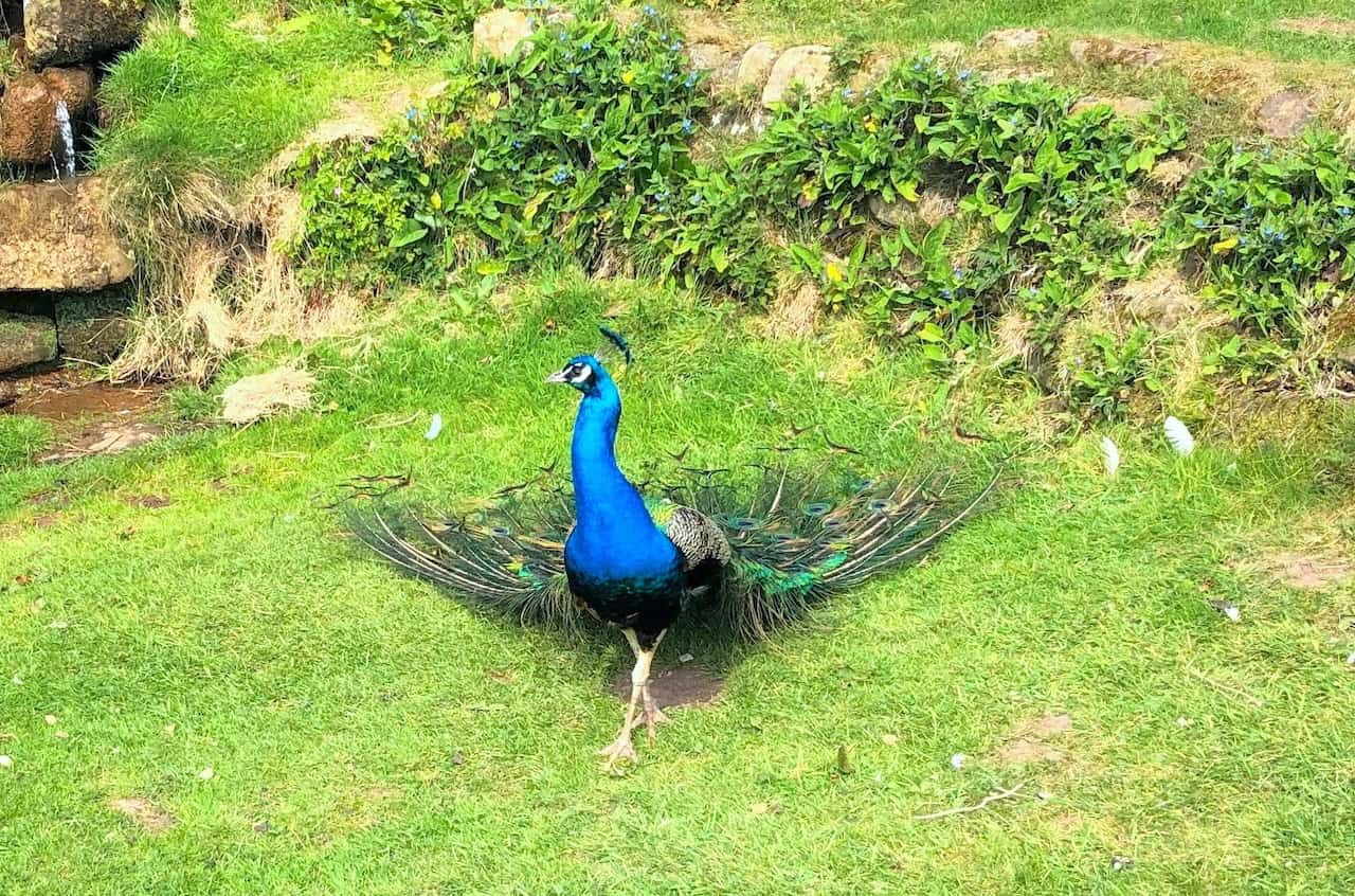
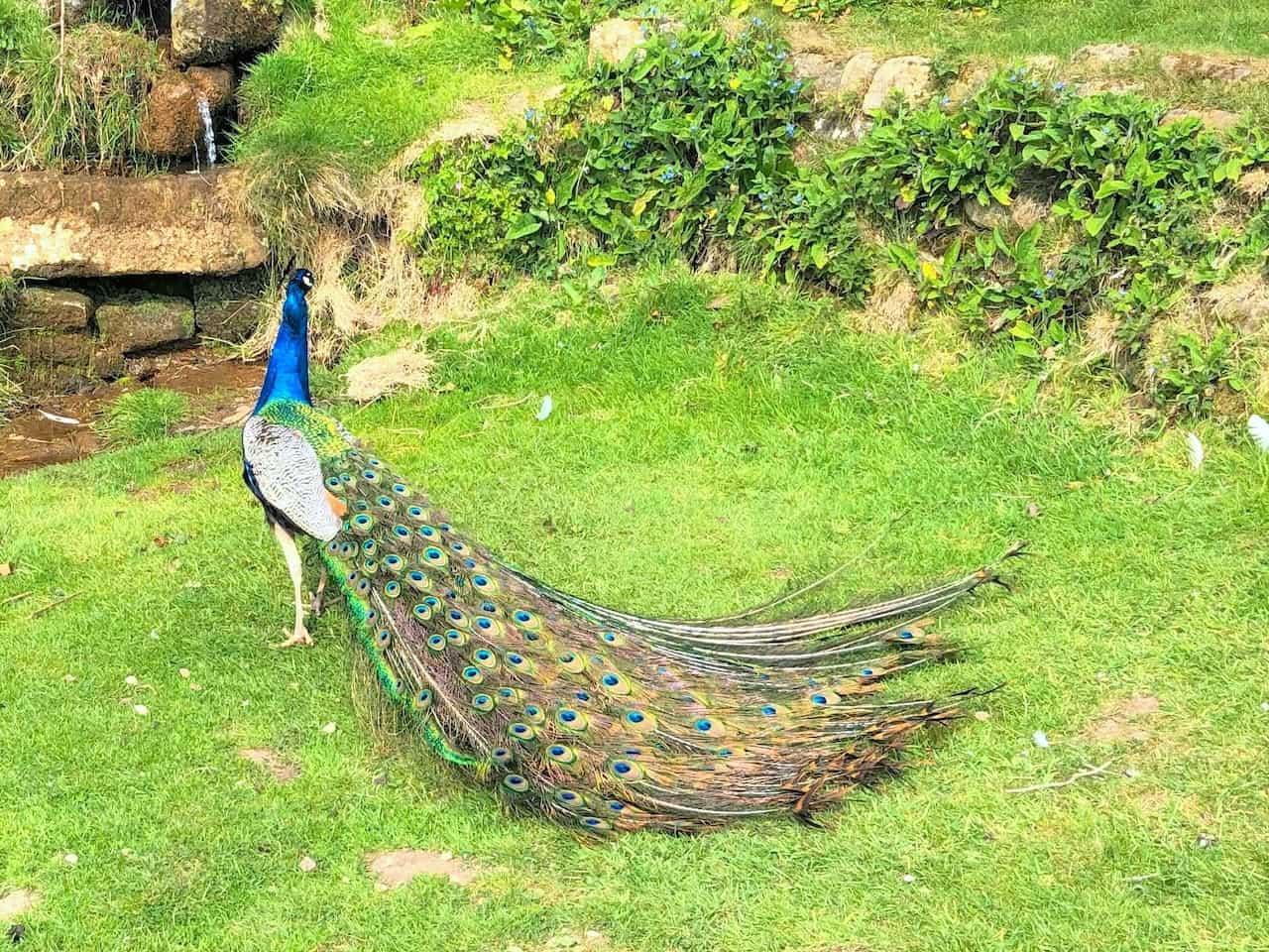
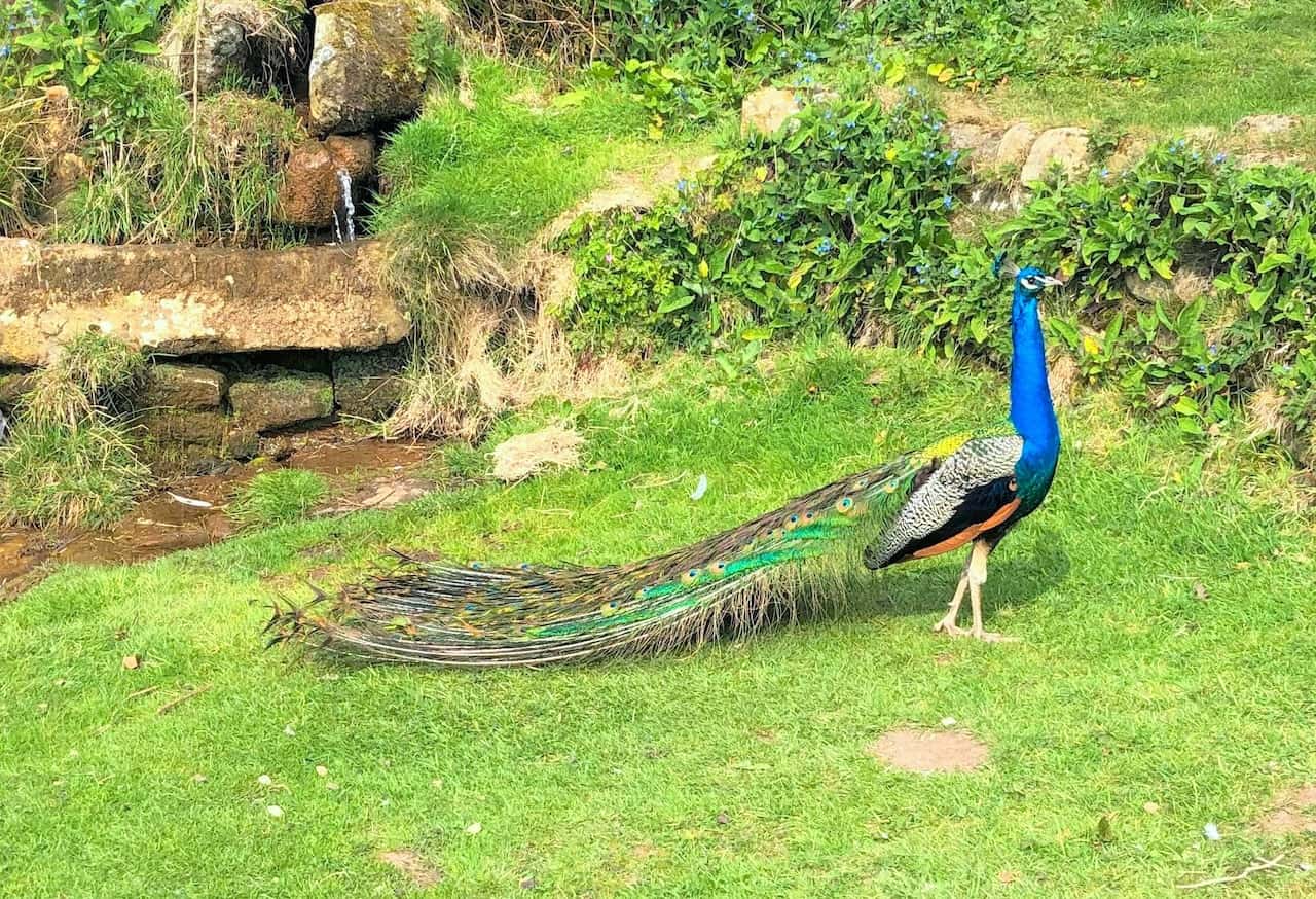
Peacock by the side of the Esk Valley Walk at Blackmires.
Grisport Unisex Adult Peaklander Hiking Boots
AD The Grisport Unisex Adult Peaklander Hiking Boots are crafted in Italy with a durable waxed leather upper, Spotex breathable lining, and a reliable Track-on rubber sole. Waterproof and weighing just 1120g, they offer comfort, resilience, and dependable performance on demanding trails.
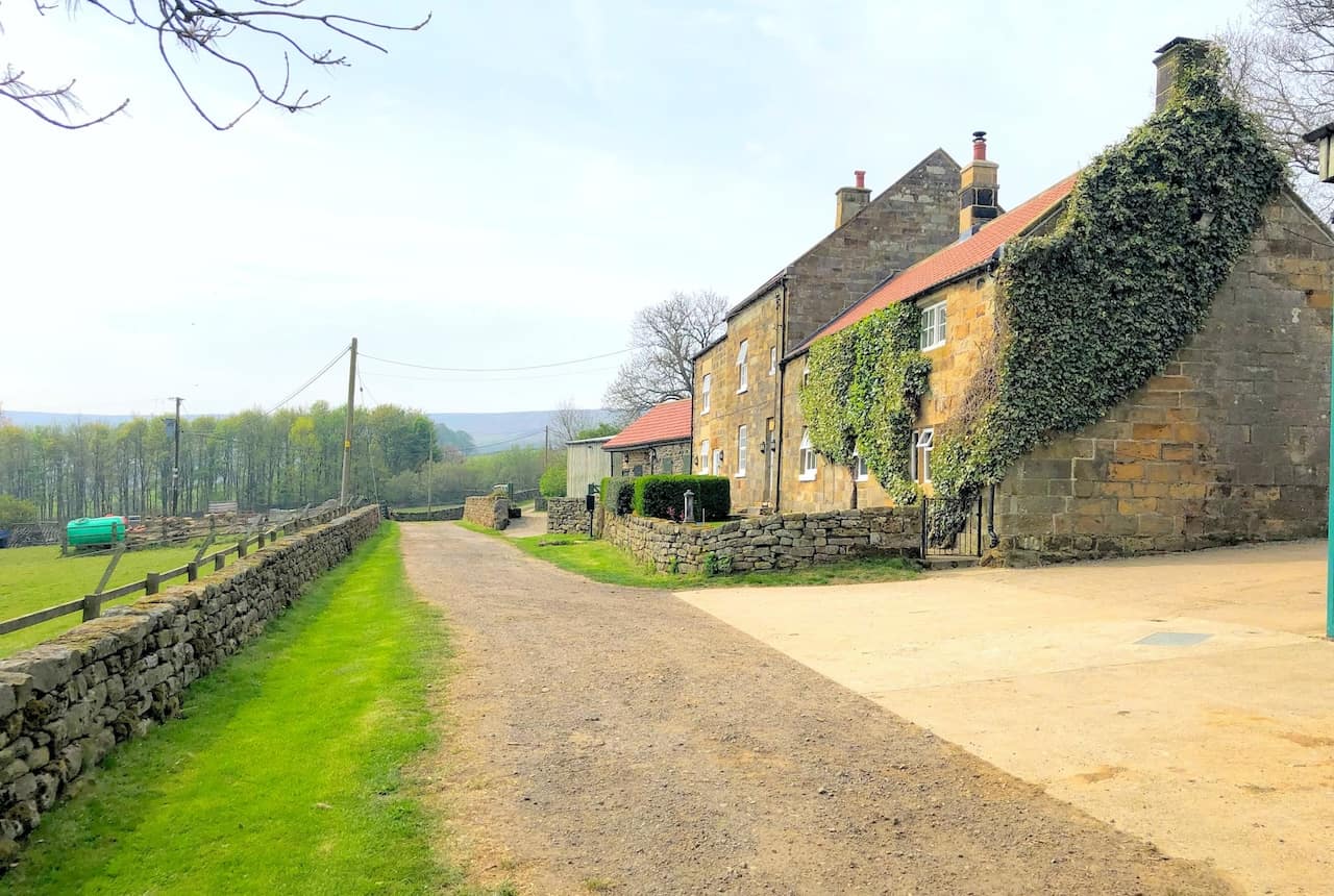
Honey Bee Nest at Danby Head.

Fifty Walks Across the Beautiful North York Moors National Park
AD Discover 50 routes across the North York Moors, from short easy strolls to challenging high-level hikes. With OS maps, route descriptions, and local highlights, it also includes the legendary 40-mile Lyke Wake Walk, described in four accessible stages.
Looking down on Danby Dale from the Esk Valley Walk above Danby Head.
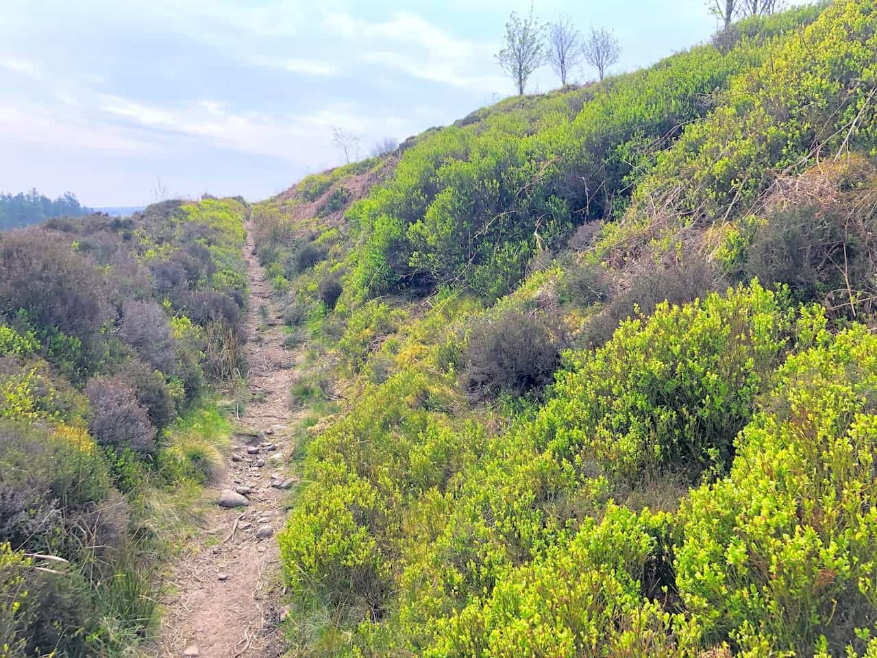
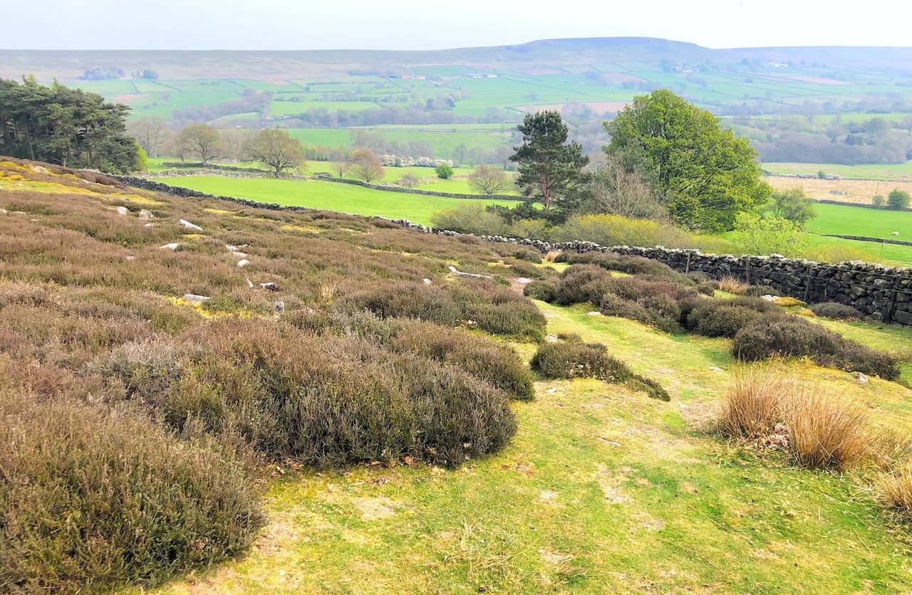
The uphill path out of Danby Dale.
Fifty Walks Across the Beautiful North York Moors National Park
AD Discover 50 routes across the North York Moors, from short easy strolls to challenging high-level hikes. With OS maps, route descriptions, and local highlights, it also includes the legendary 40-mile Lyke Wake Walk, described in four accessible stages.
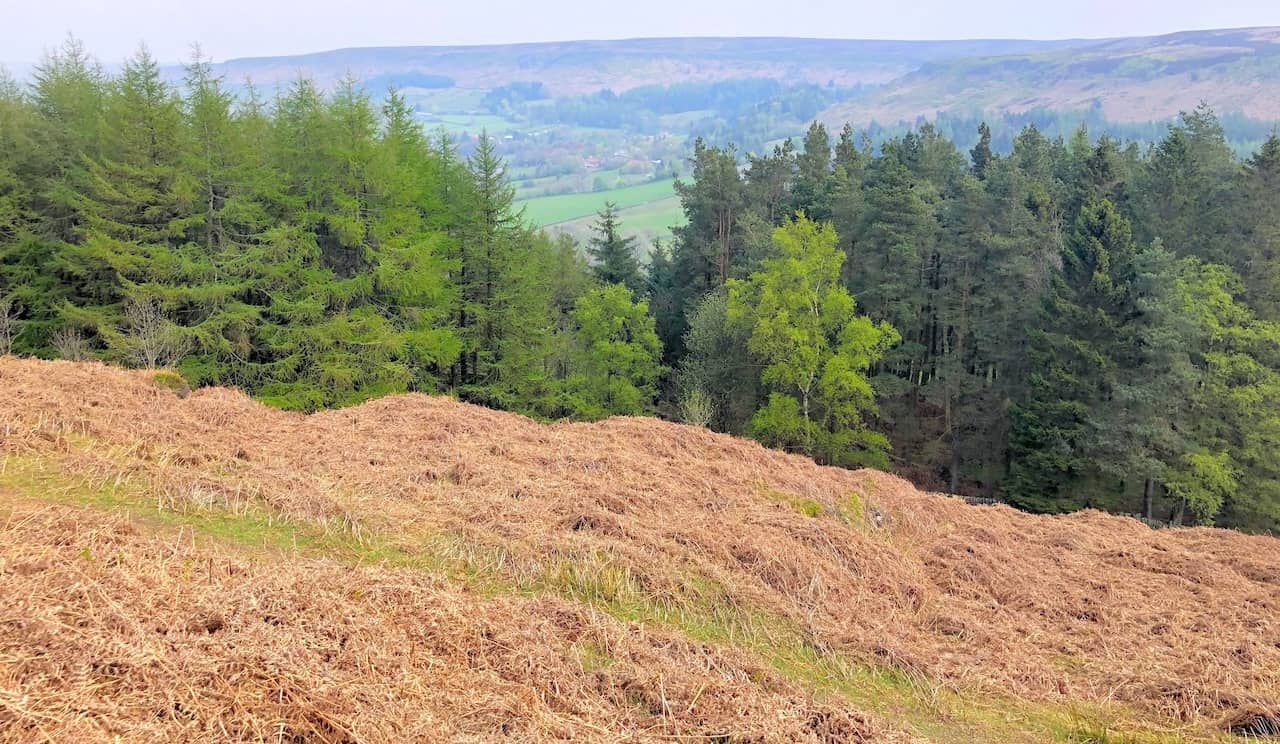
Just visible between the gap in the trees is the village of Botton, situated near the head of Danby Dale. It is one of nine Camphill Village Trust communities across England which provide homes for people with learning disabilities.
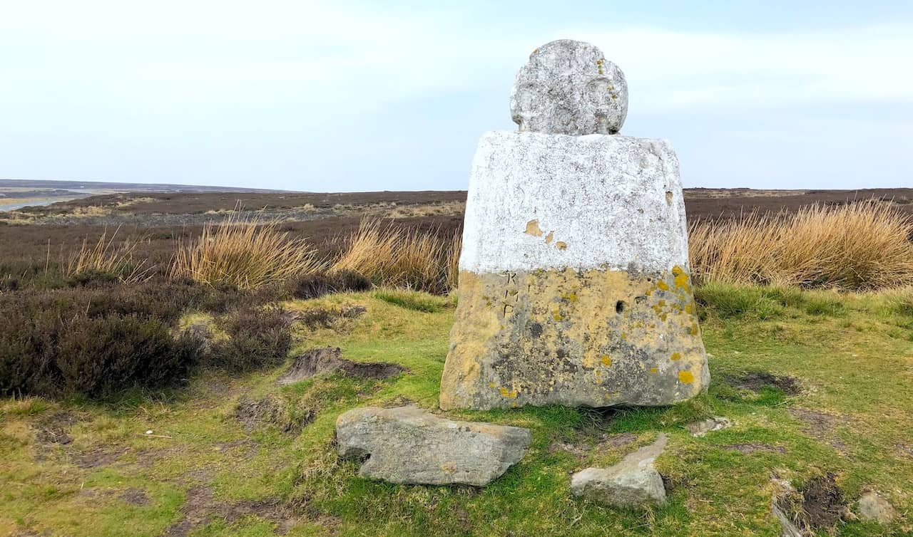
White Cross on Danby High Moor.

Osprey Hikelite Unisex Backpack for Comfortable and Lightweight Hiking
AD The Osprey Hikelite backpack combines lightweight design with practical features, including a breathable mesh back panel, soft webbing straps, and stretch mesh water bottle pockets. With zipped storage and an organiser compartment, it is ideal for day hikes and outdoor use.
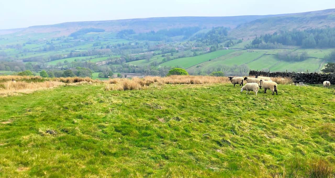
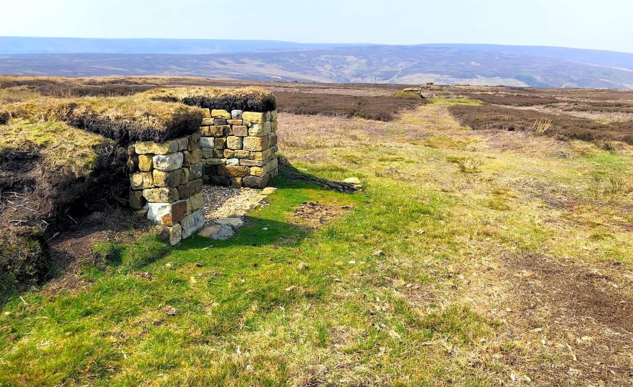
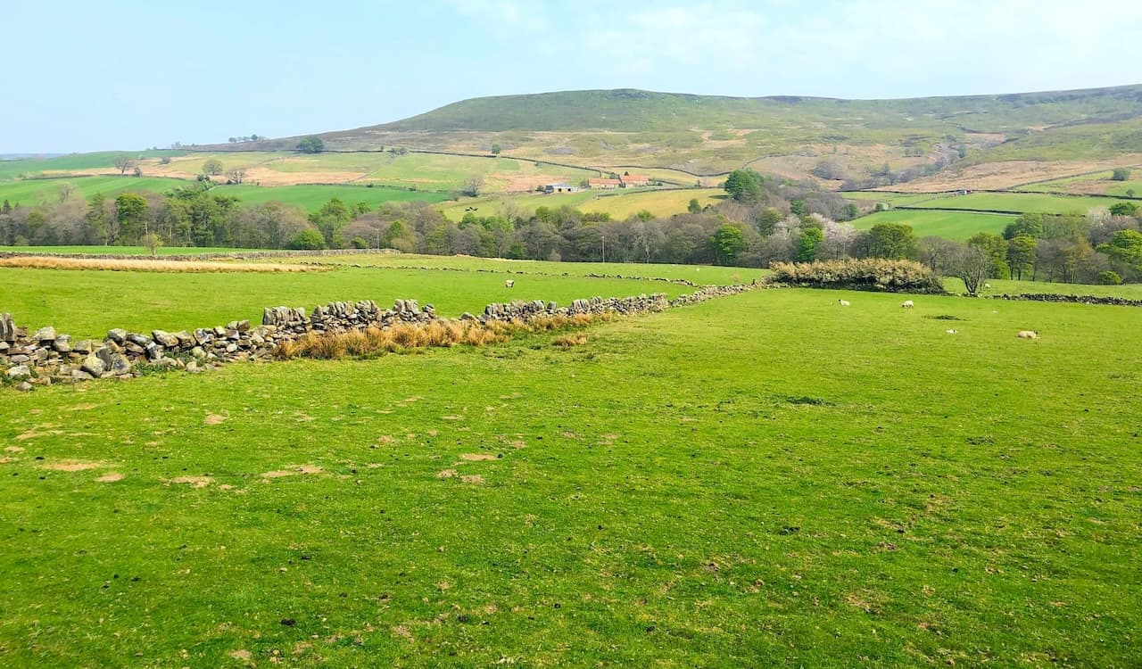
Grouse butts on Westerdale Moor.
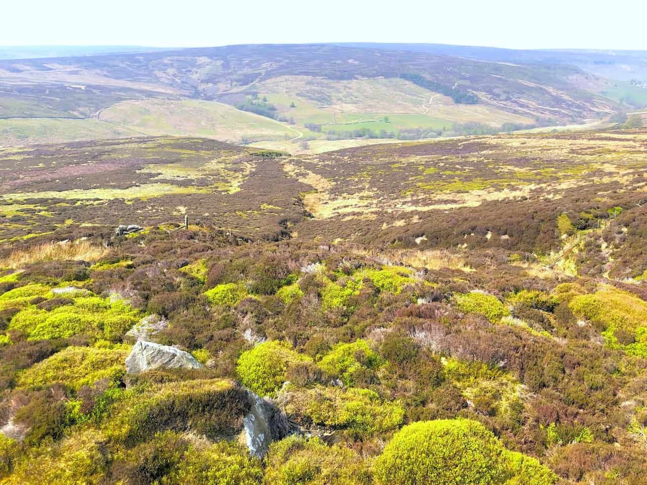
Westerdale Moor, where three streams called the Esklets merge to form the River Esk in the valley below.
Osprey Hikelite Unisex Backpack for Comfortable and Lightweight Hiking
AD The Osprey Hikelite backpack combines lightweight design with practical features, including a breathable mesh back panel, soft webbing straps, and stretch mesh water bottle pockets. With zipped storage and an organiser compartment, it is ideal for day hikes and outdoor use.
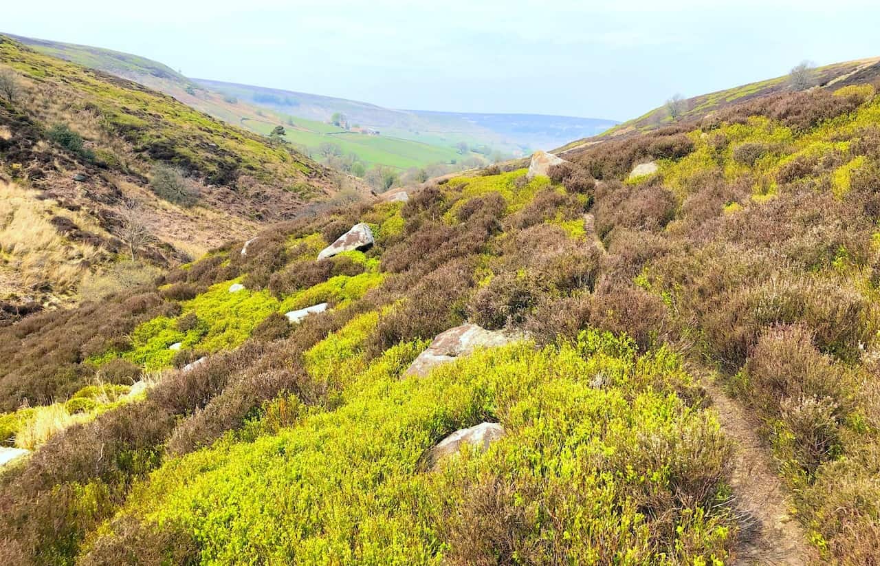
The scenic Westerdale valley.

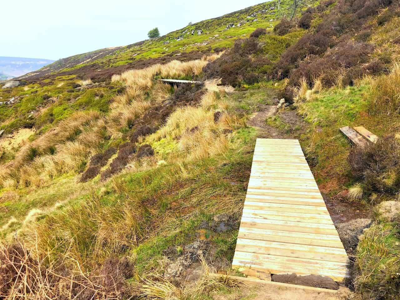
Footbridges across boggy areas on the Esk Valley Walk.

Peak Bagging Wainwrights with Routes to Complete All Fells
AD This comprehensive guide offers 45 circular routes linking all 214 Wainwright fells. With maps, GPX downloads, elevation profiles, and practical advice, it provides efficient yet inspiring ways to complete this classic Lake District challenge at your own pace.
The Esk Vally Walk through Westerdale.
Peak Bagging Wainwrights with Routes to Complete All Fells
AD This comprehensive guide offers 45 circular routes linking all 214 Wainwright fells. With maps, GPX downloads, elevation profiles, and practical advice, it provides efficient yet inspiring ways to complete this classic Lake District challenge at your own pace.
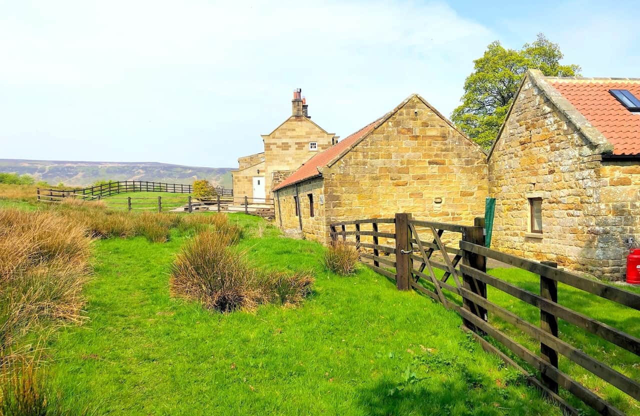
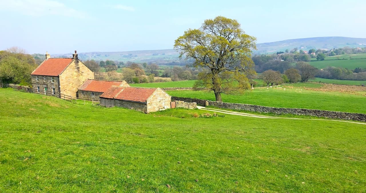
Wood End.
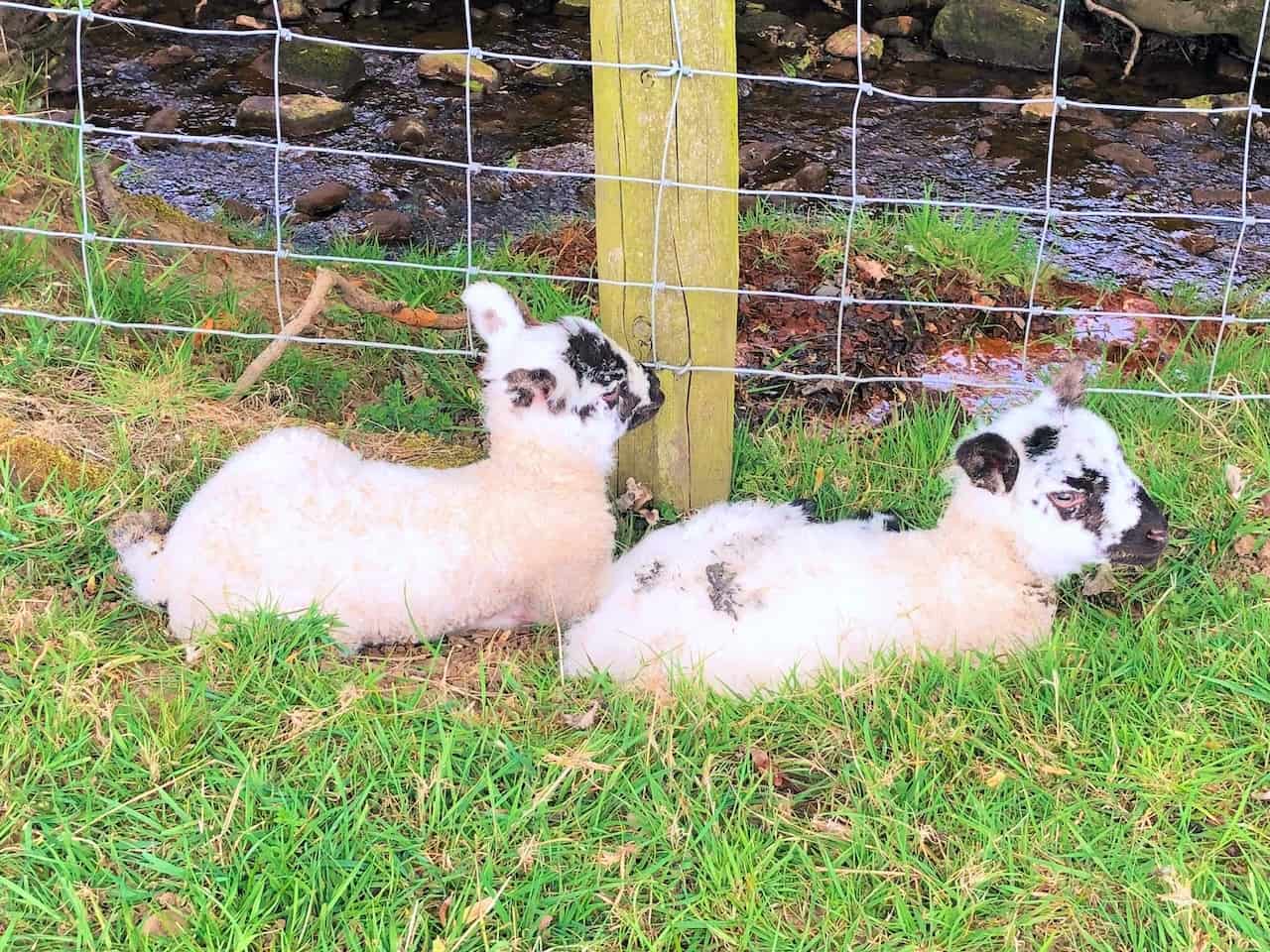
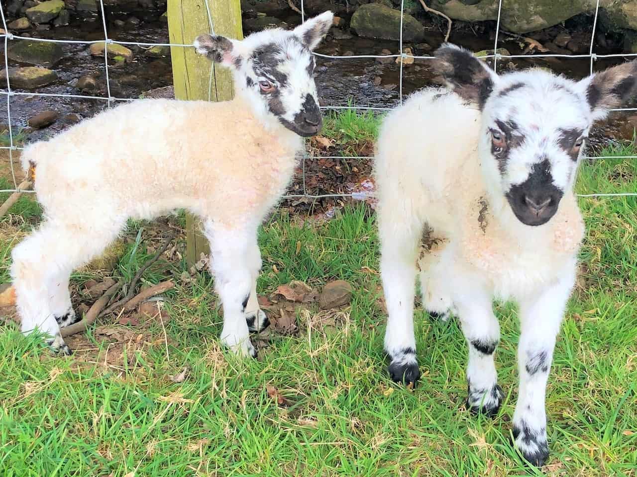
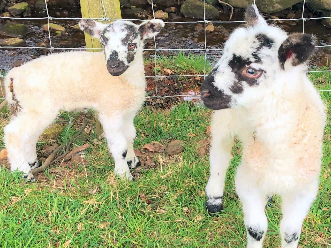
It’s Spring, and the farmers’ fields are full of cute baby lambs.

Berghaus Hillmaster II GTX Men's High Rise Hiking Boots
AD The Berghaus Hillmaster II GTX men’s hiking boots feature a waterproof, breathable GORE-TEX membrane, a memory foam tongue and collar for a personalised fit, and a Vibram sole delivering exceptional grip, stability, and shock protection for confident performance on any terrain.
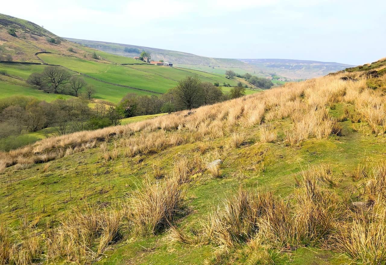
Countryside and farmland in the Westerdale valley.

Kendal Mint Co Energy Gel with Citrus and Mint Flavour
AD Kendal Mint Co energy gels deliver 27g of fast-absorbing carbohydrates plus electrolytes and B vitamins for improved performance. Vegan, gluten free, and Informed Sport certified, these caffeine-free gels are refreshing, easy to digest, and ideal for running, cycling, and endurance.
The Esk Valley Walk near Dale View Farm, leading to Dibble Bridge.
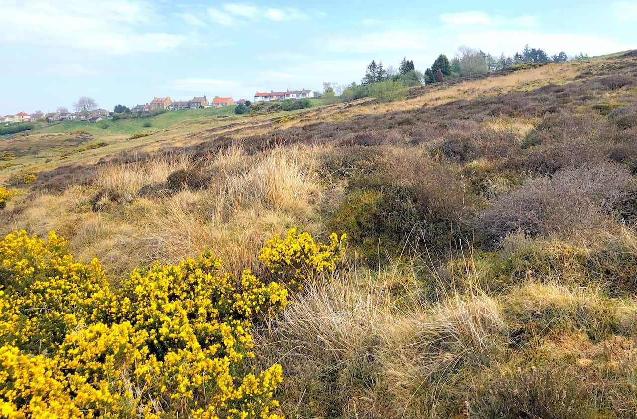
Looking up to the houses of High Castleton near the end of this Esk Valley Walk.
Kendal Mint Co Energy Gel with Citrus and Mint Flavour
AD Kendal Mint Co energy gels deliver 27g of fast-absorbing carbohydrates plus electrolytes and B vitamins for improved performance. Vegan, gluten free, and Informed Sport certified, these caffeine-free gels are refreshing, easy to digest, and ideal for running, cycling, and endurance.