East from the car park on the A684 to Knoutberry Haw via Ringing Keld Gutter. North across Baugh Fell past West Baugh Fell Tarn to the River Rawthey in Uldale. Anti-clockwise around the foot of Bluecaster then south-west through Cautley along footpaths, tracks and occasionally on the A638 road. South by way of footpaths and bridleways to join the A684 near Hallbank and east along the road back to the car park. A 13-mile walk in the Yorkshire Dales.
Recommended Ordnance Survey Map
The best map to use on this walk is the Ordnance Survey map of the Howgill Fells & Upper Eden Valley, reference OS Explorer OL19, scale 1:25,000. It clearly displays footpaths, rights of way, open access land and vegetation on the ground, making it ideal for walking, running and hiking. The map can be purchased from Amazon in either a standard, paper version or a weatherproof, laminated version, as shown below.
Standard Version
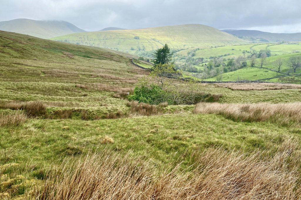
The River Rawthey in Uldale, below the northern slopes of Baugh Fell. The headwaters of the river are at Rawthey Gill Foot, where Rawthey Gill meets Haskhaw Gill. The source of Rawthey Gill is unclear, but is either on Knoutberry Haw or near to the East Tarns of Baugh Fell. Moving initially northwards, the Rawthey is joined by Whin Stone Gill in Uldale before skirting round Bluecaster and running south-west through Cautley.
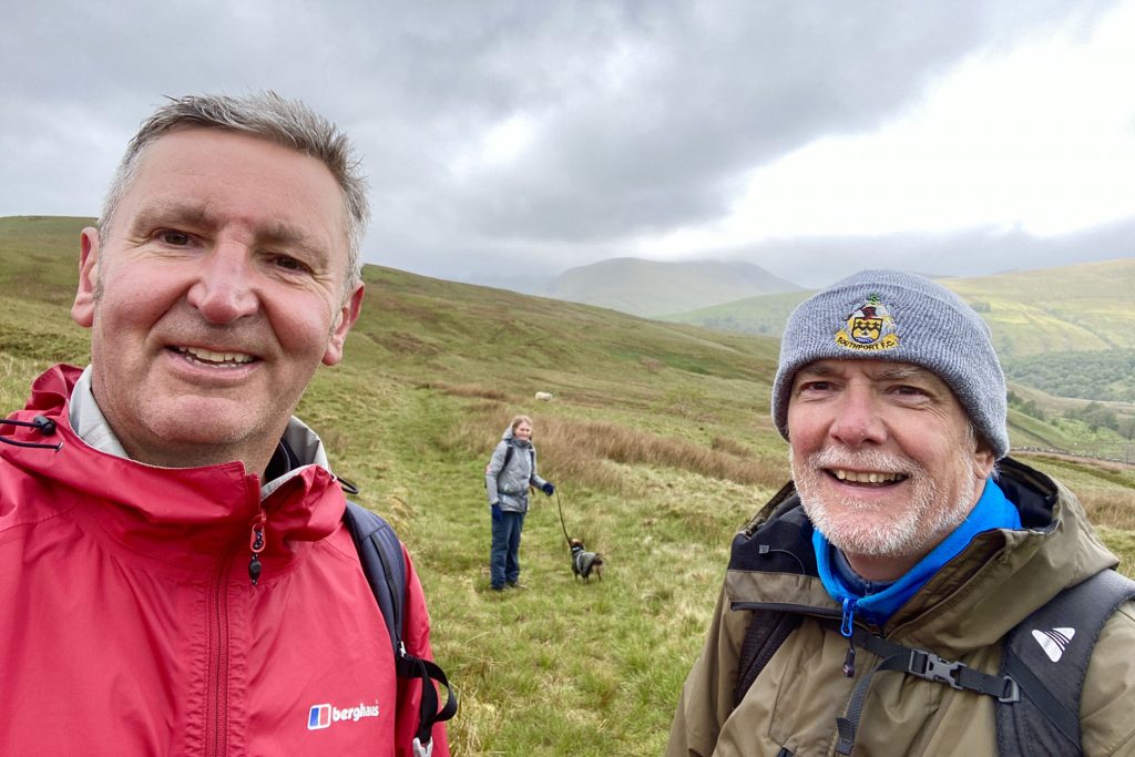
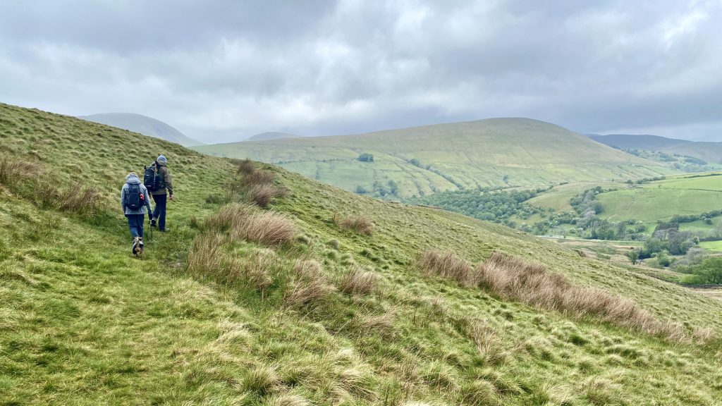
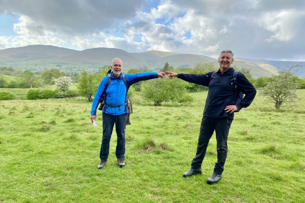
Mike, Helen and I on the bridleway below Bluecaster, a couple of miles north-west of Baugh Fell.
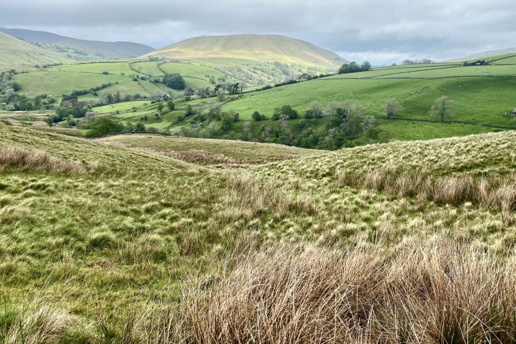
The view north-west towards Wandale Hill from the bridleway around Bluecaster.
Looking north towards Harter Fell from the bridleway around Bluecaster.
The view over to Wandale Hill on the eastern side of the Howgill Fells.
The view from Bluecaster Side across to Cautley Spout between Yarlside and Great Dummacks. Cautley Spout is England’s highest (cascade) waterfall above ground (Gaping Gill on Ingleborough falls a greater unbroken distance into a pothole, and Hardraw Force has a greater unbroken fall above ground). The broken cascade of falls tumbles a total of 198 metres (650 feet) down the cliff face at the head of the glacial valley east of The Calf.
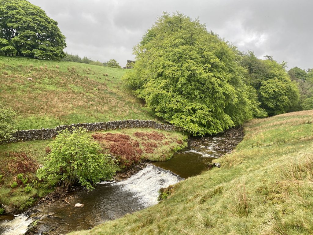
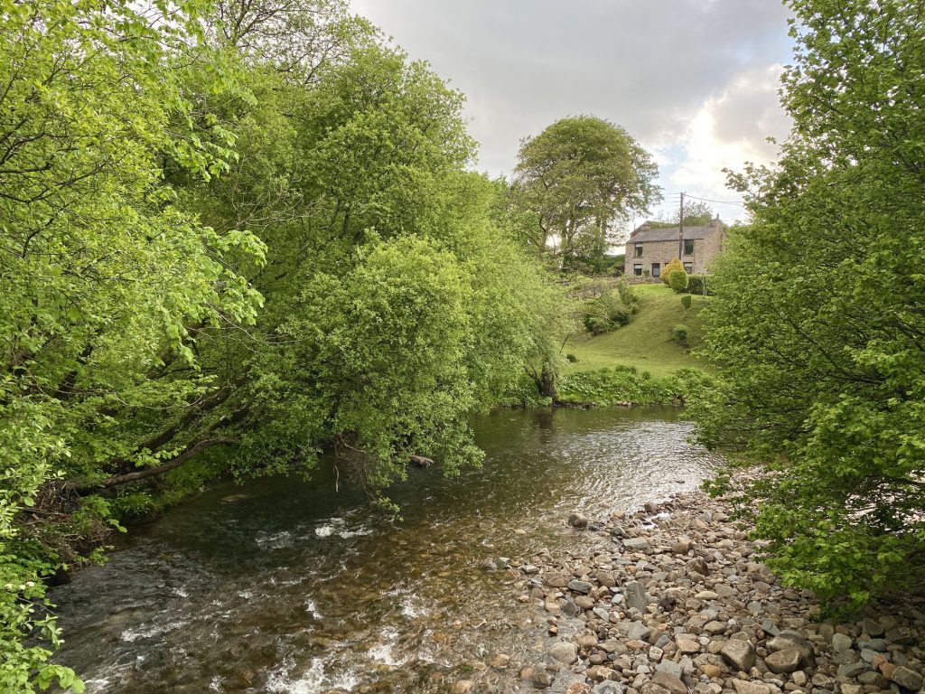
Footbridge across Hebblewaite Hall Gill just south of Hebblethwaite Hall.
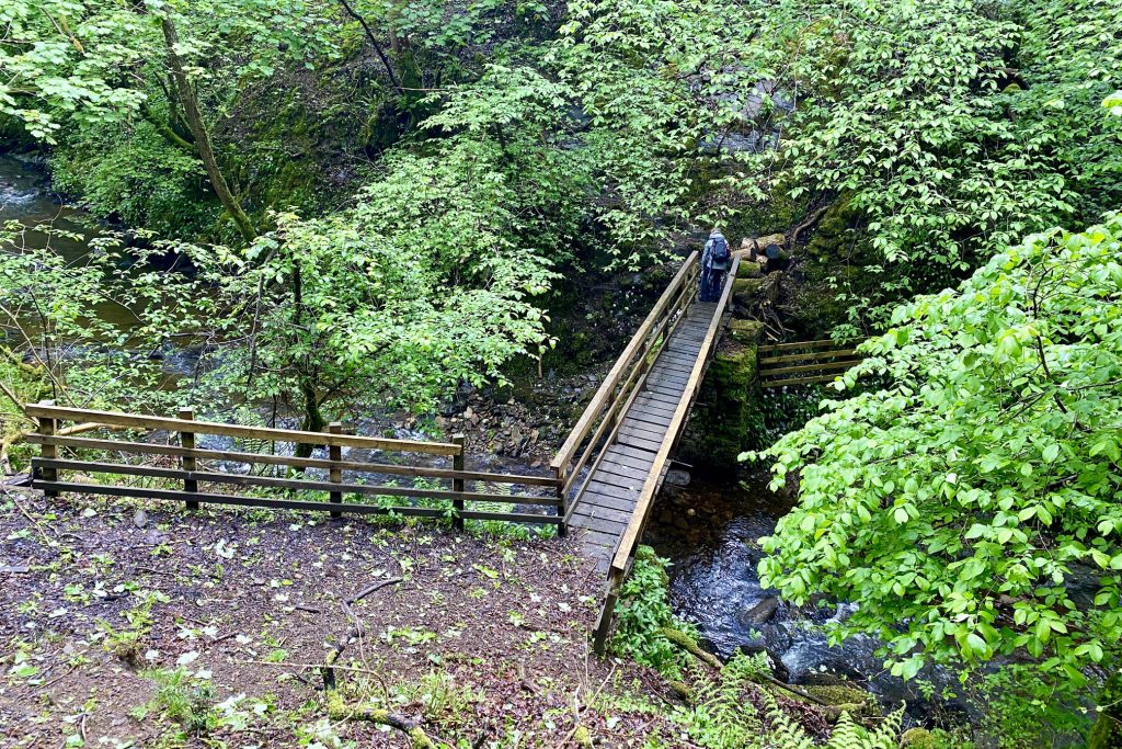
Hebblewaite Hall Gill.
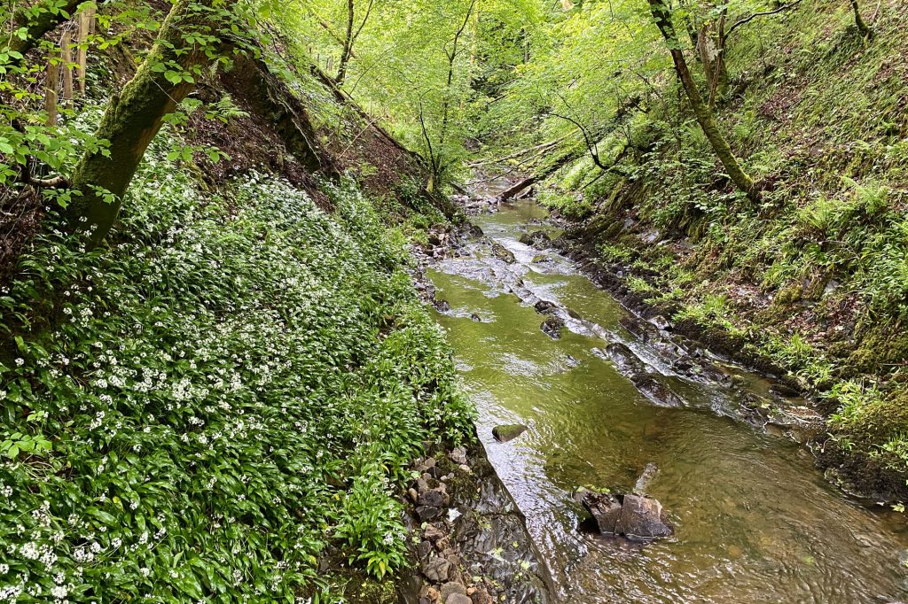
Climbing out of the steep-sided valley created by Hebblewaite Hall Gill. We were all struck by the beauty of the natural ancient woodland here, which Mike said now only covers a tiny percentage of the United Kingdom landscape. According to the Woodland Trust, ancient woods are areas of woodland that have persisted since 1600 in England and Wales, and 1750 in Scotland. This is when maps started to be reasonably accurate so we can tell that these areas have had tree cover for hundreds of years. They are relatively undisturbed by human development. As a result, they are unique and complex communities of plants, fungi, insects and other microorganisms. Just 2.4% of the UK is ancient woodland.
The view north-west over the woodland surrounding Hebblewaite Hall Gill towards Great Dummacks.
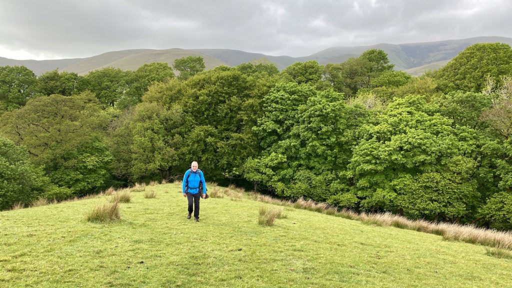
Mike and I keeping a safe distance apart.
Clough River near Hallbank, on the way to meet up with the River Rawthey.
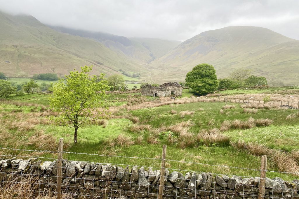
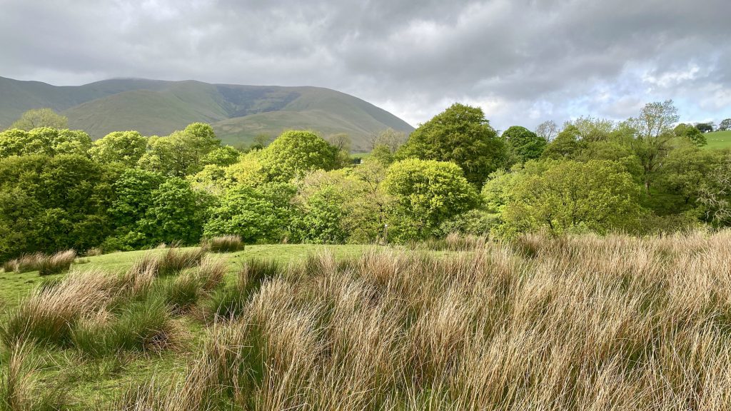
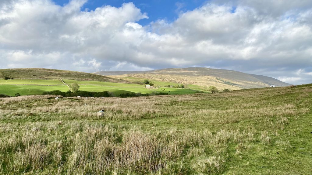
Our first proper view of Baugh Fell. We had climbed it earlier but it was cloud-covered.
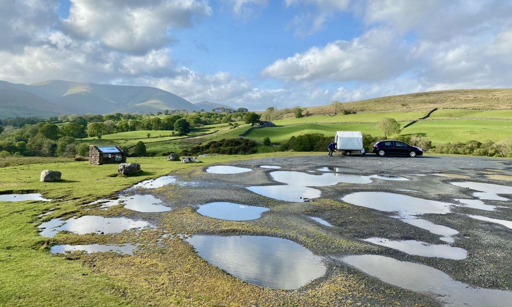
The car park by the side of the A684 which overlooks the Garsdale valley.