North-west from the Black Hill car park down to Lower Barden Reservoir, then further north-west to reach the dam of Upper Barden Reservoir. North along the moorland track to Numberstones End and west over to Rolling Gate Crags. South-west to the Obelisk on Cracoe Fell using the path which follows the course of the dry stone wall, then all the way to High Bark via the cross on the western edge of Rylstone Fell. Finally east then south-east back to the starting point by way of Bilton Ings and Lumb Gill Head. A 12-mile walk in the Yorkshire Dales.
Recommended Ordnance Survey Map
The best map to use on this walk is the Ordnance Survey map of the Yorkshire Dales Southern & Western Area, reference OS Explorer OL2, scale 1:25,000. It clearly displays footpaths, rights of way, open access land and vegetation on the ground, making it ideal for walking, running and hiking. The map can be purchased from Amazon in either a standard, paper version or a weatherproof, laminated version, as shown below.
Standard Version
The view from the car park down to Lower Barden Reservoir.
Bridge over Near Long Gill.

Lower Barden Reservoir as seen from the footbridge near the reservoir’s north-west tip.
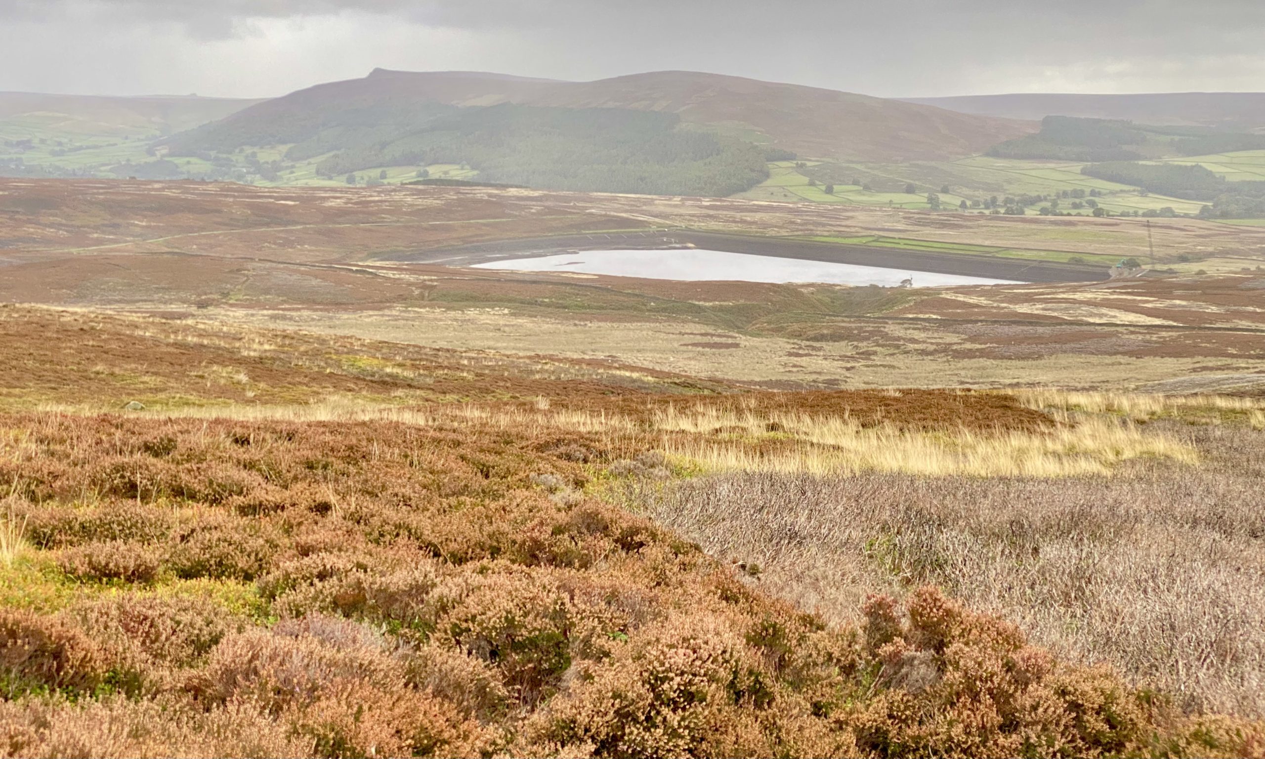
Grouse shooting shelters near Brass Castle.
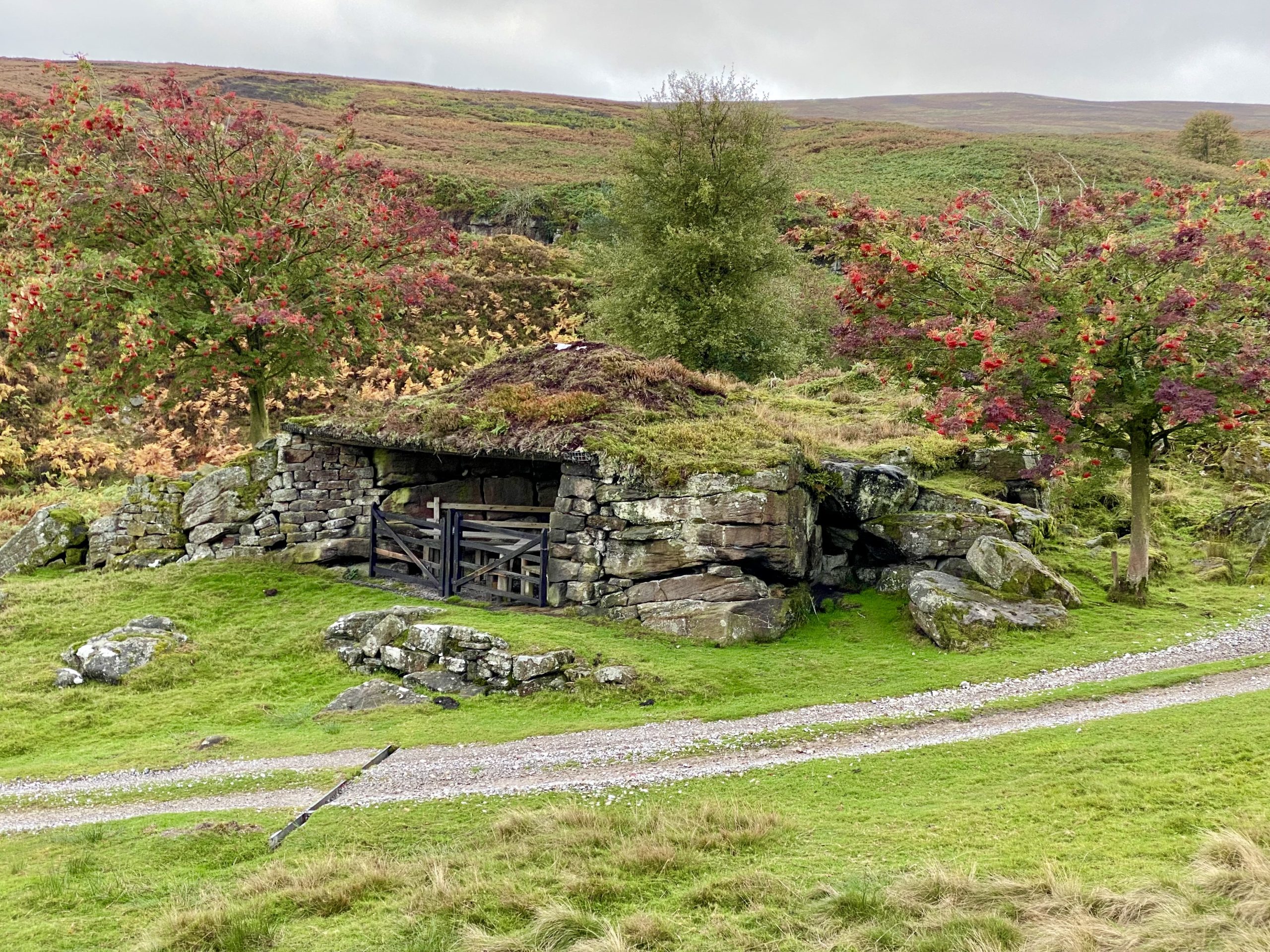

Looking down upon Lower Barden Reservoir from the grouse shooting shelters near Brass Castle.
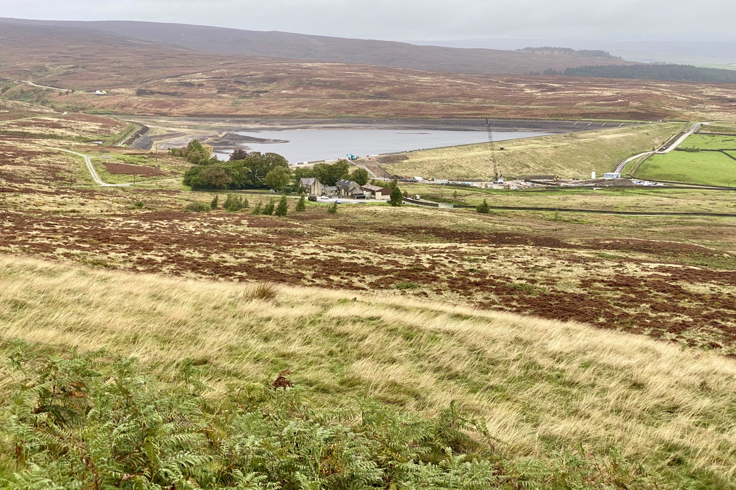
Reservoir keeper’s house at Upper Barden Reservoir.

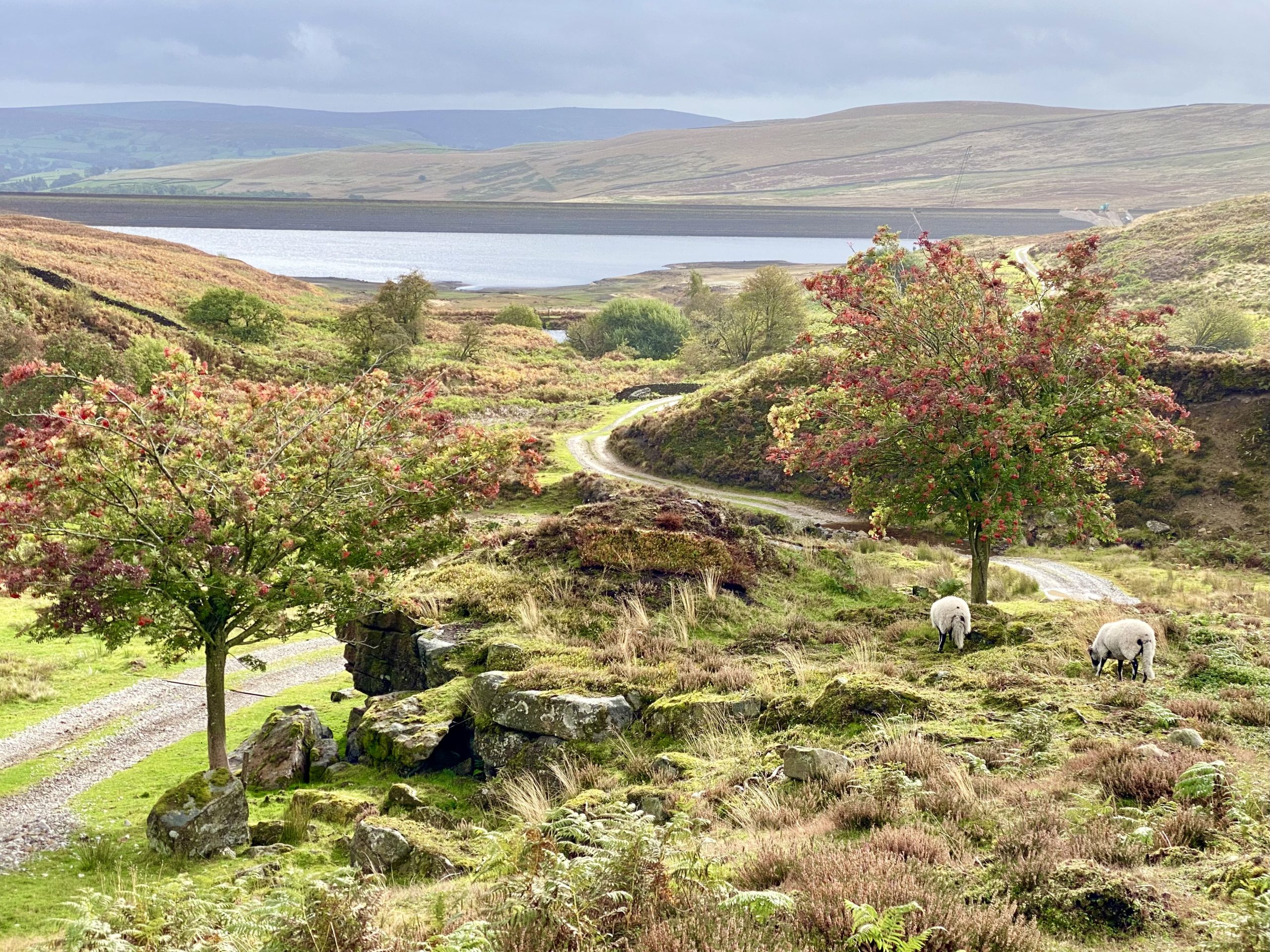
Upper Barden Reservoir.

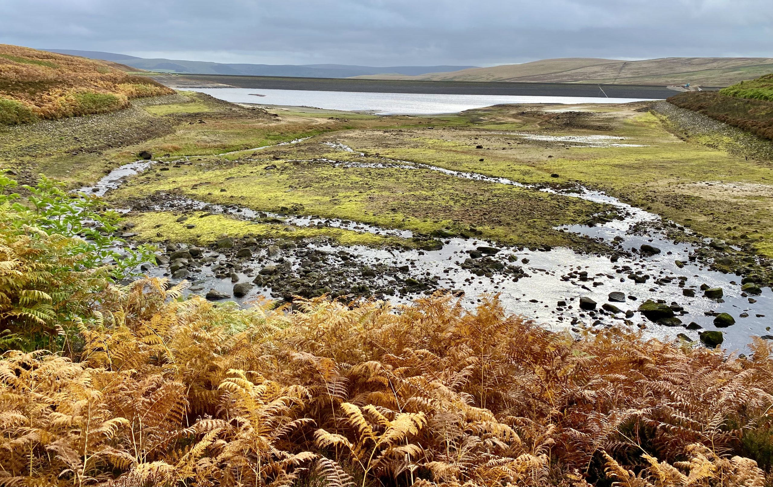
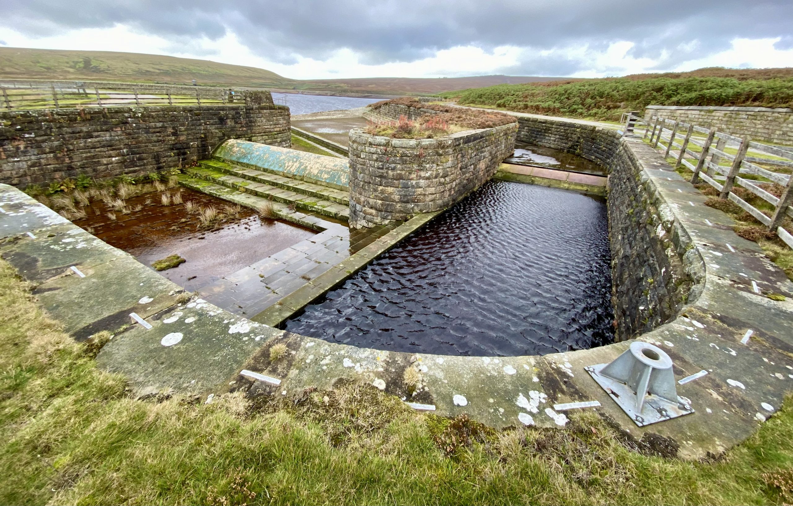
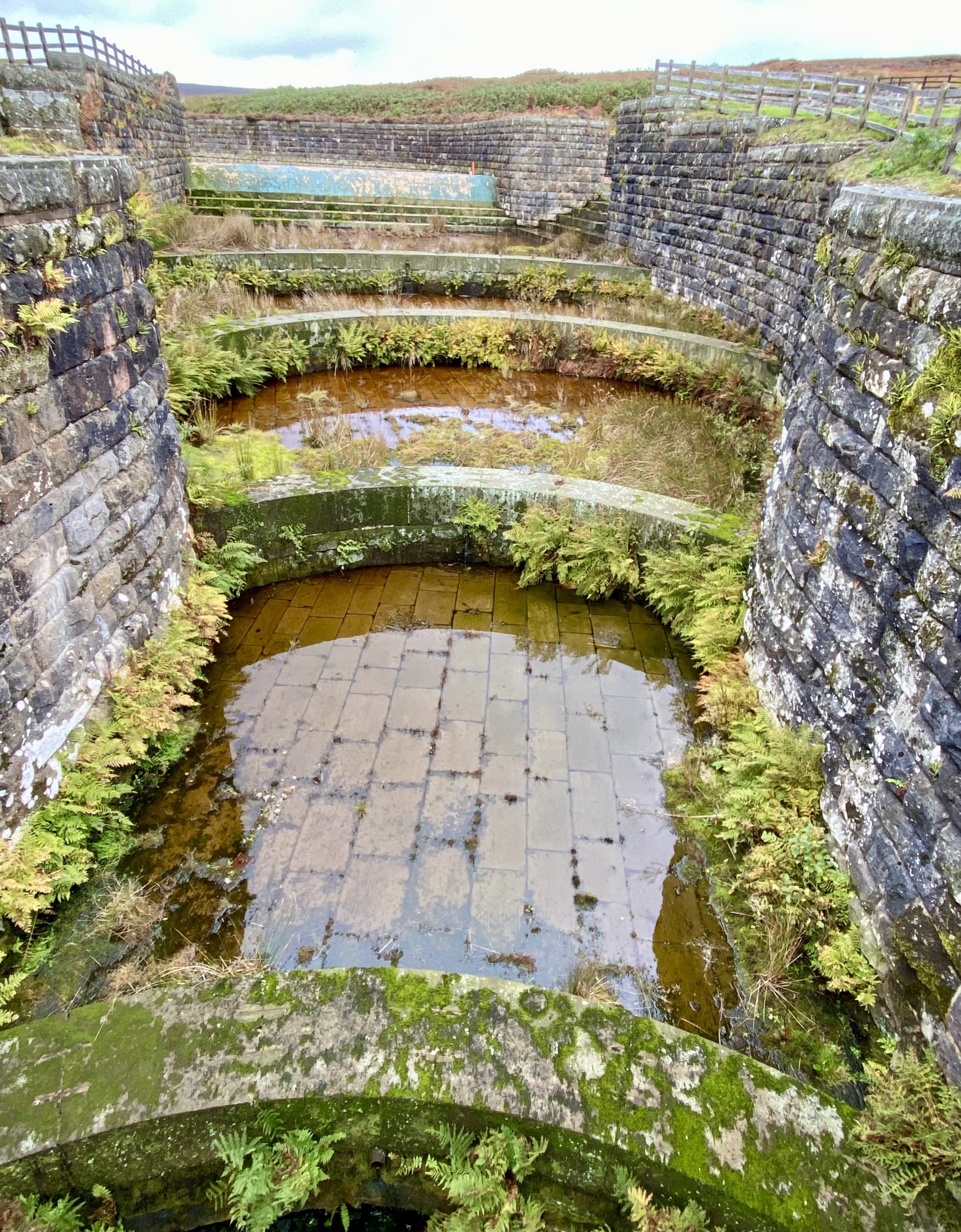
Weir at the northern end of the Upper Barden Reservoir dam.
Numberstones End.
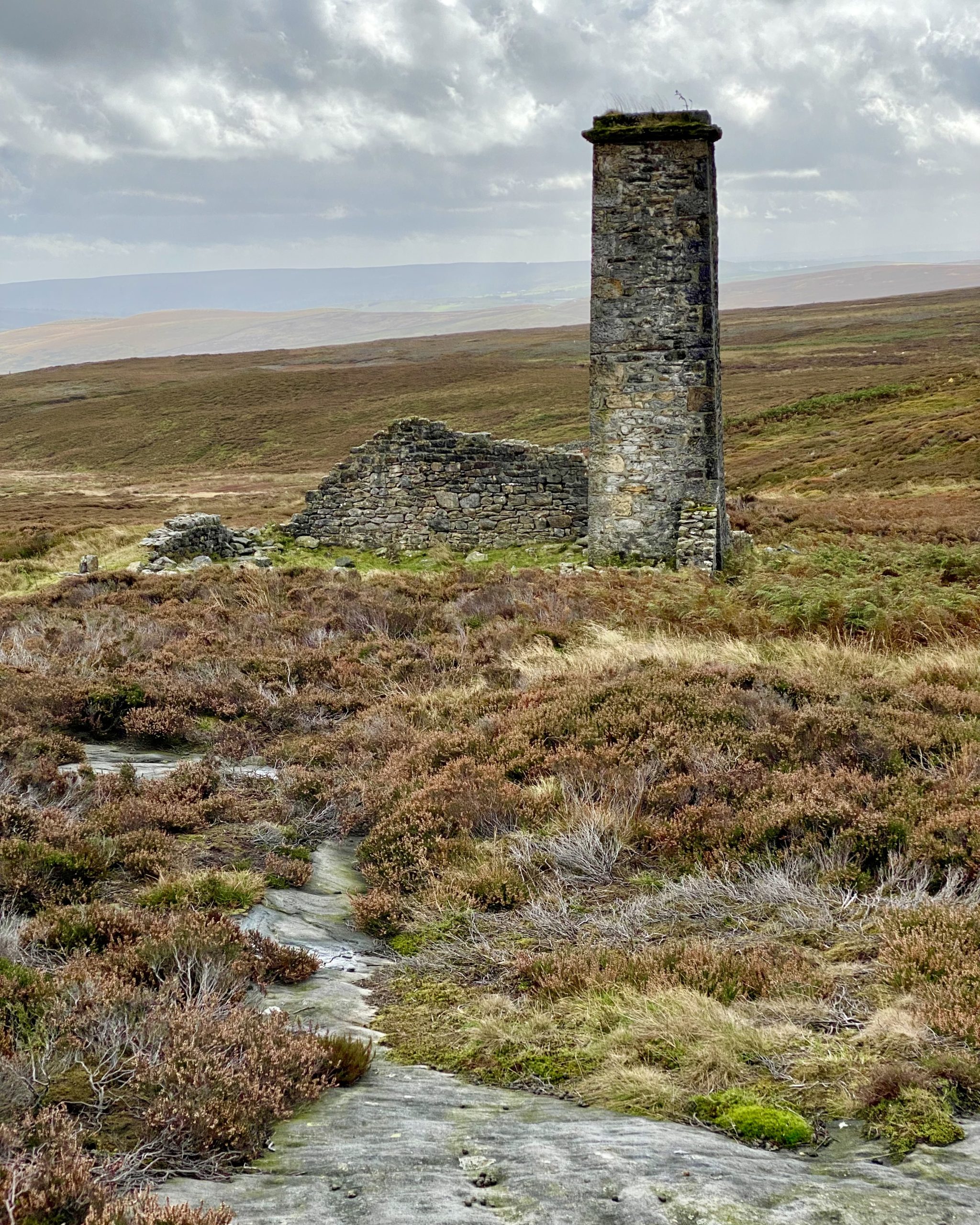
Chimney on Burnsall and Thorpe Fell.
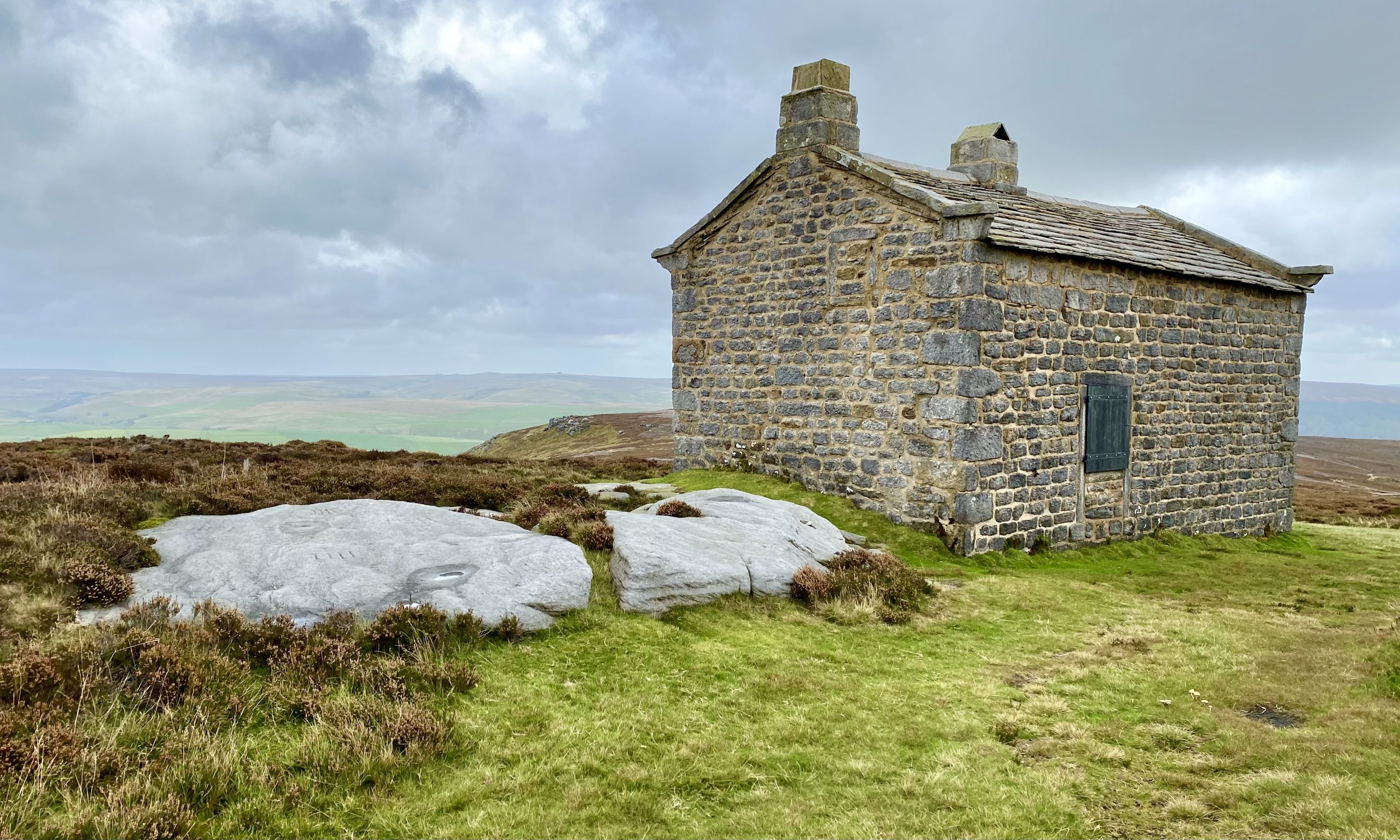
Grouse shooting hut by the side of the track across Burnsall and Thorpe Fell.
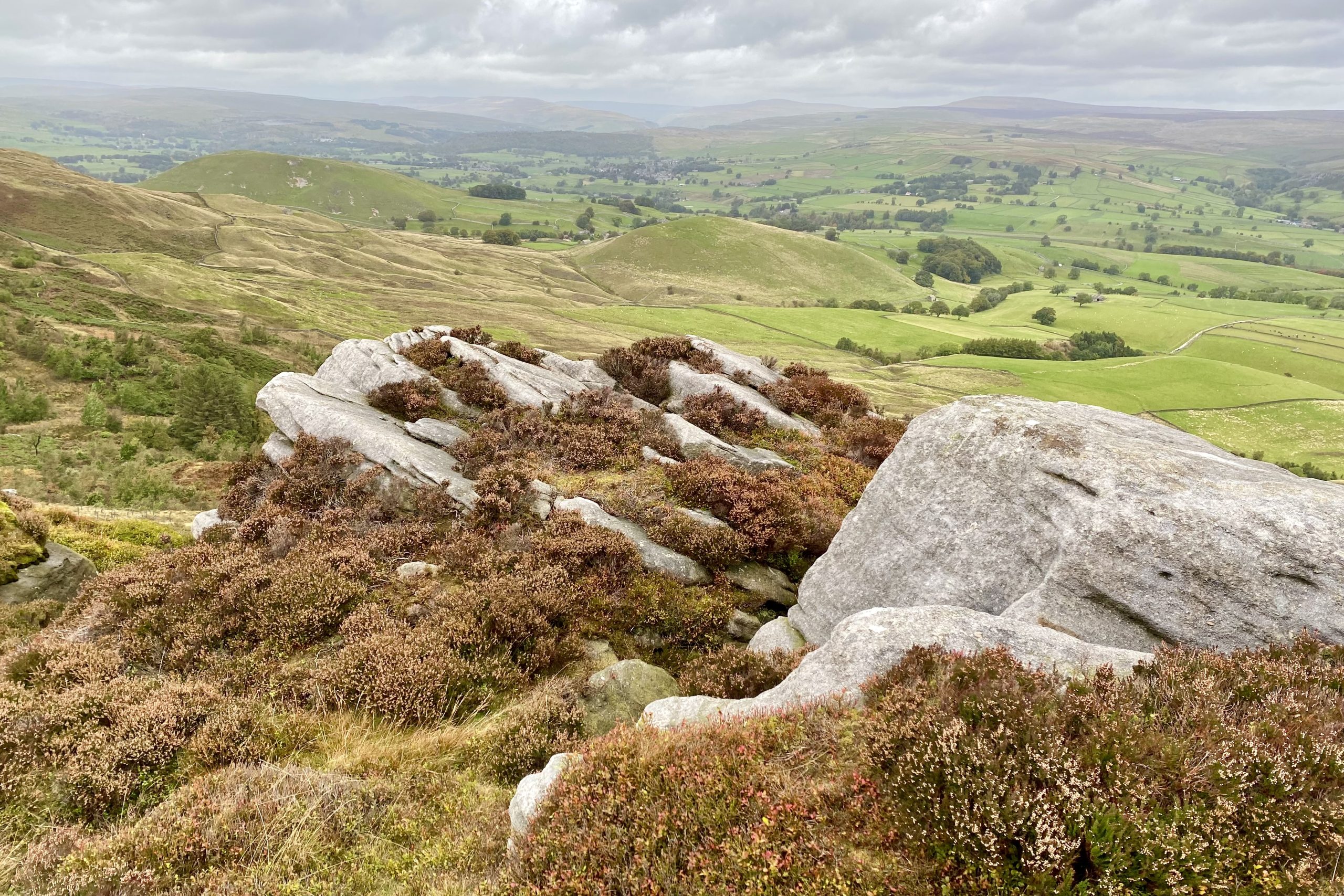
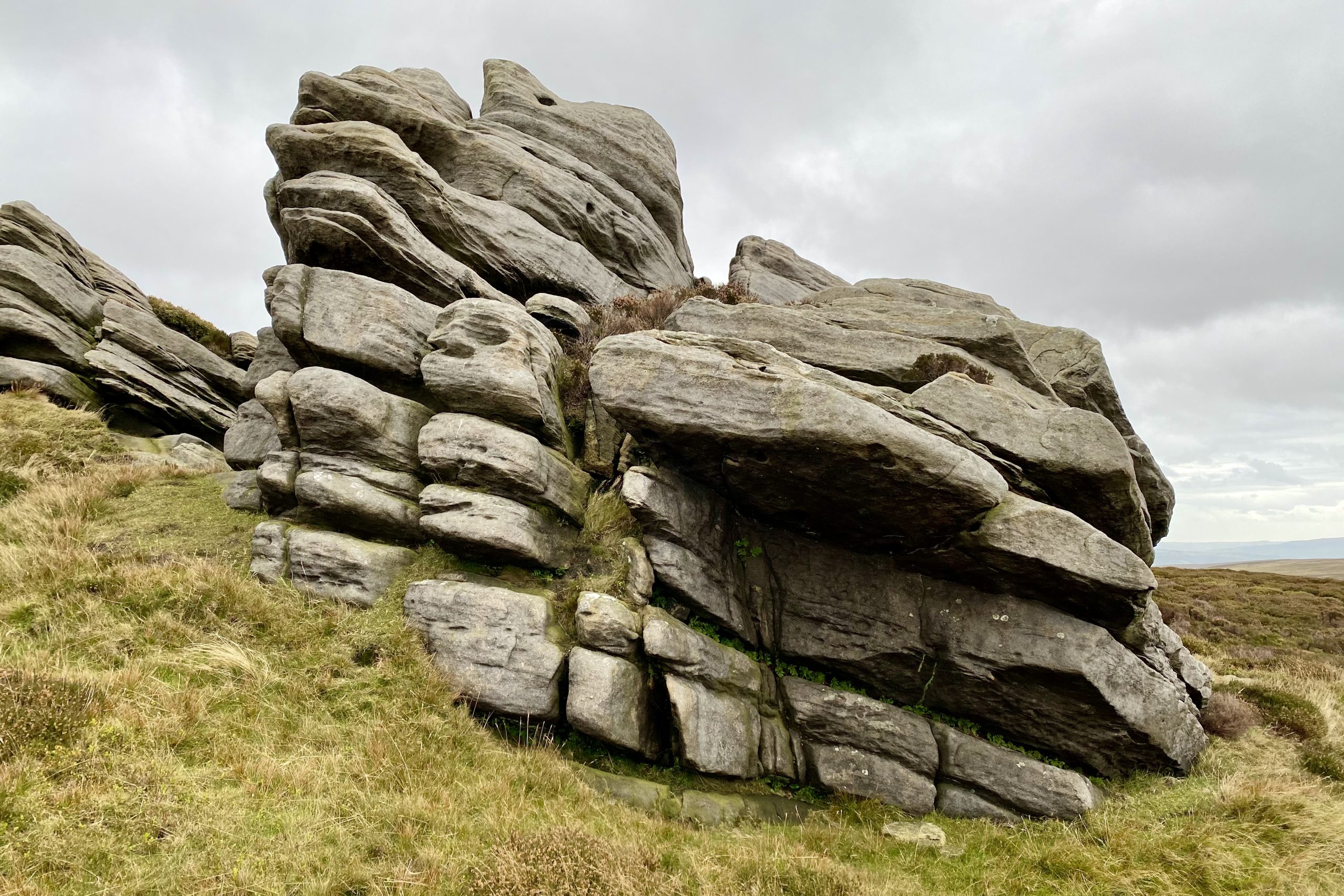
Rolling Gate Crags.
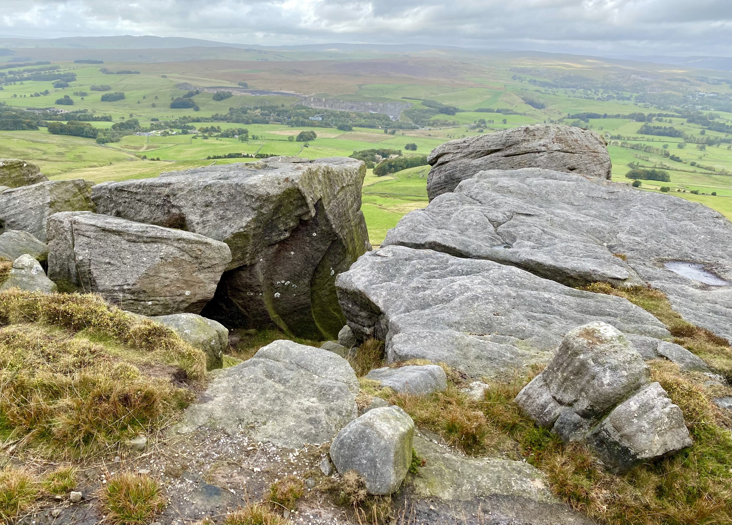
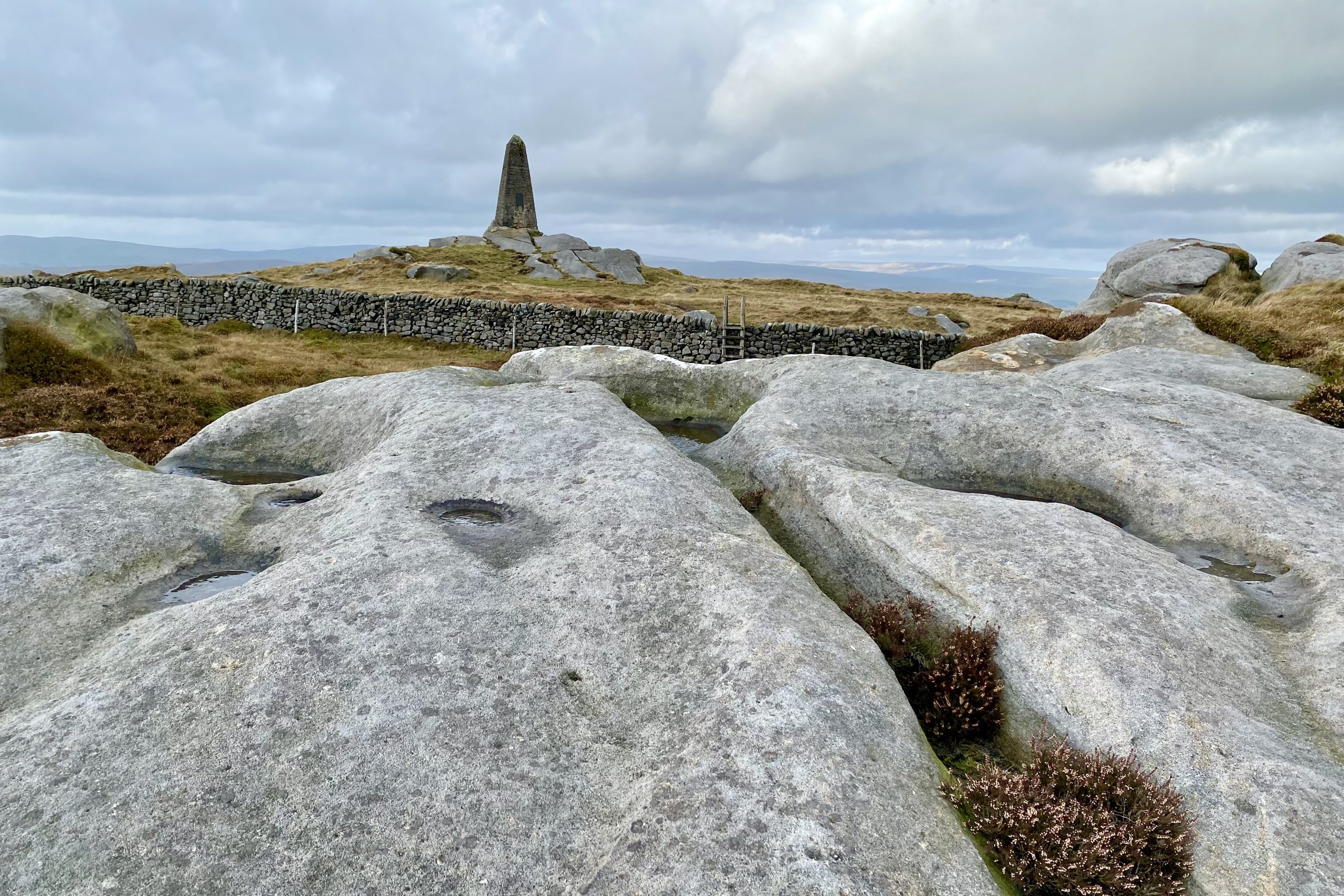
The obelisk comes into view as I follow the wall south from Rolling Gate Crags.
The dry stone wall between Rolling Gate Crags and the obelisk. There is no official path but the route alongside the wall is well used.
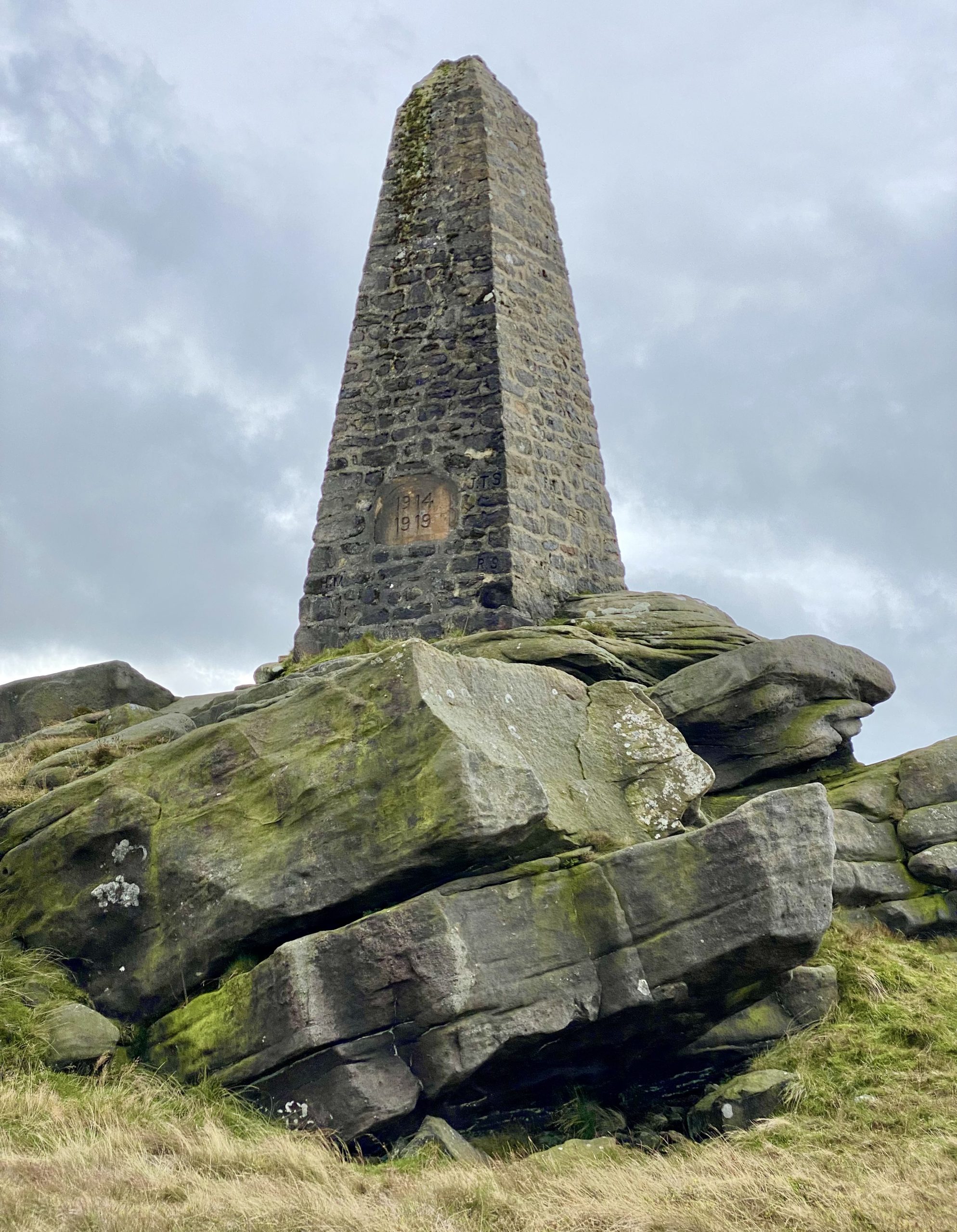
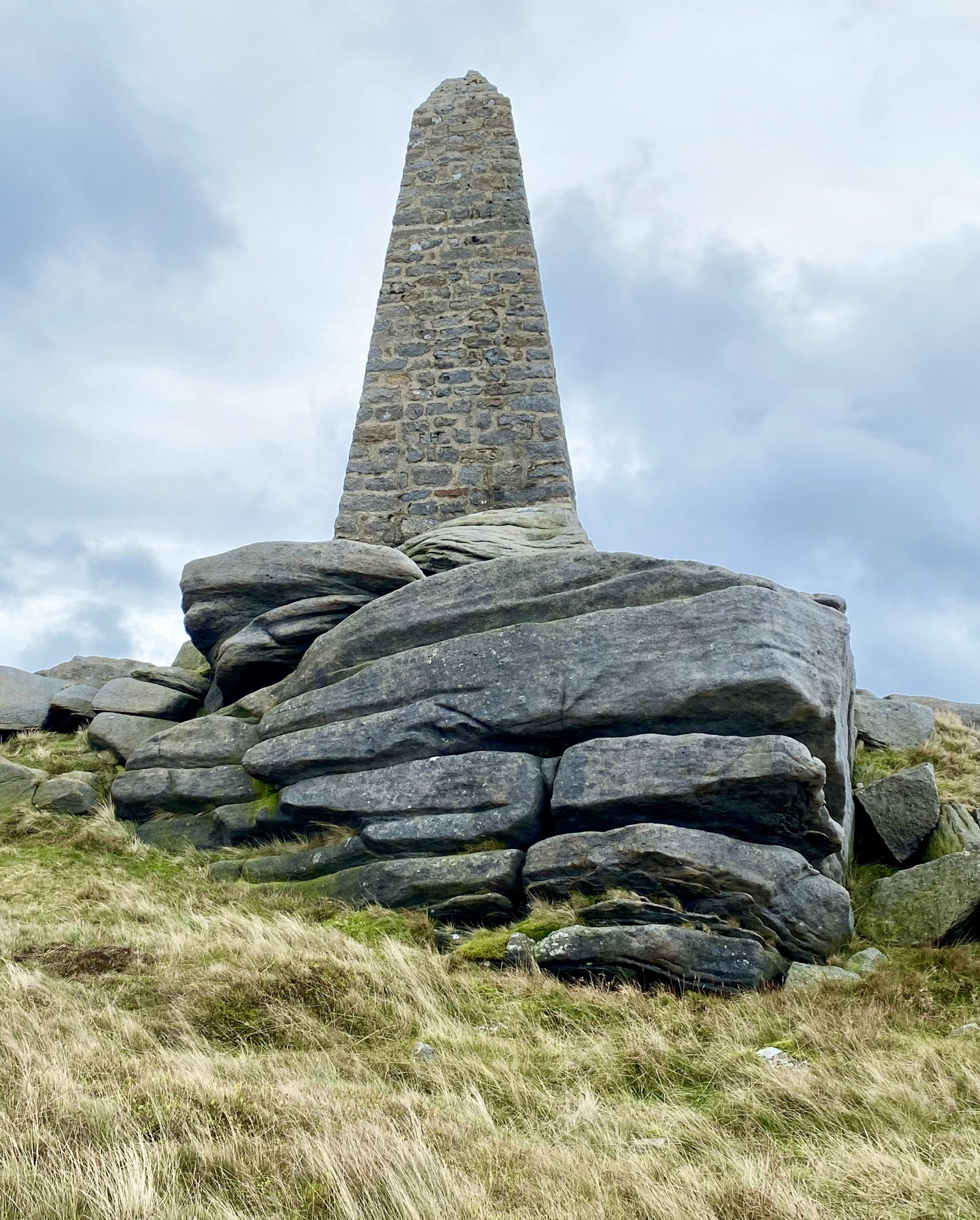
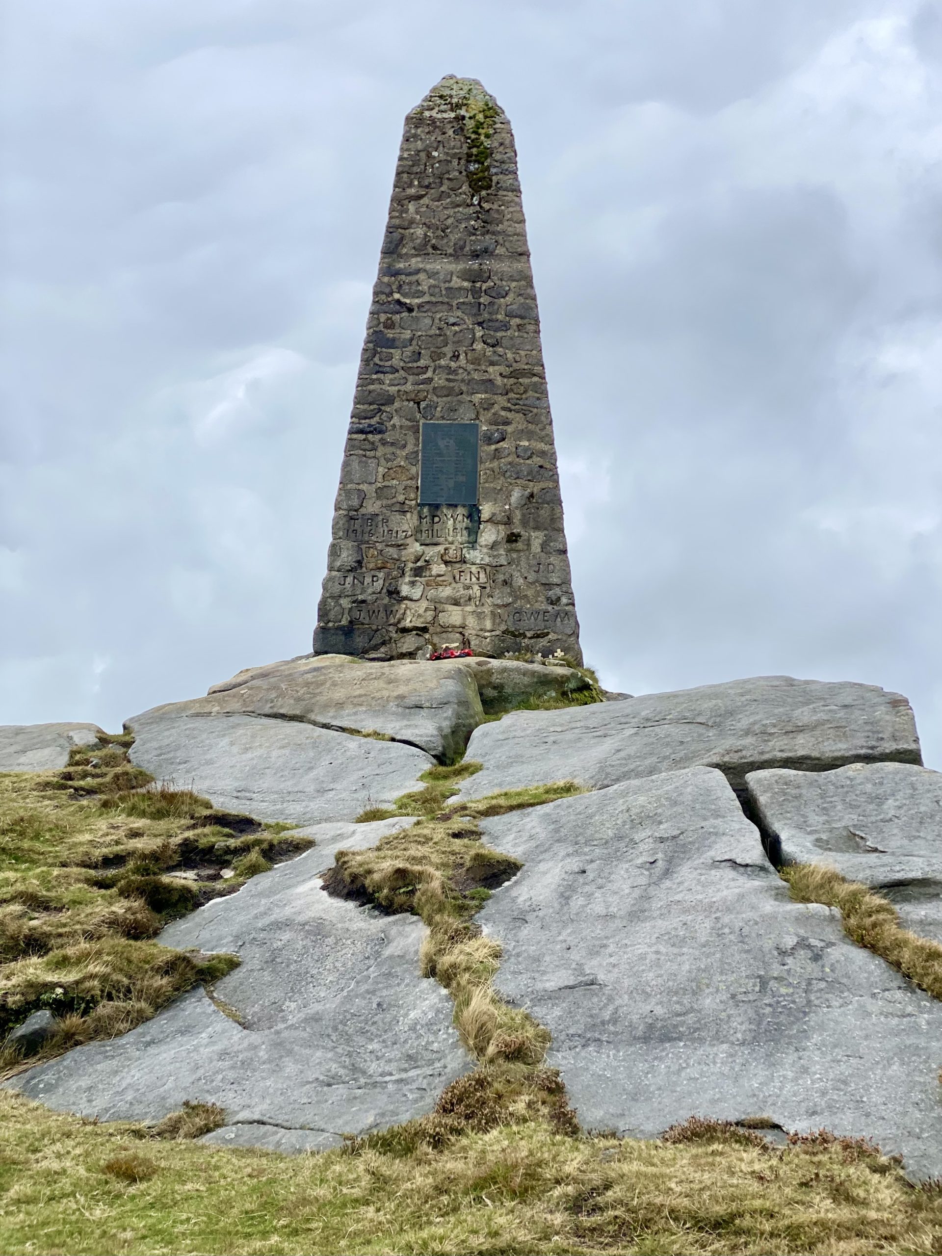
The Cracoe Fell war memorial
The memorial is perched on the summit of Cracoe Fell, height 500 metres (1640 feet) and overlooks the villages of Cracoe and Rylstone beneath the fell’s western slopes.
The obelisk took about six weeks to build and was completed in 1922 at a cost of about £56. Made from local sandstone with a concrete cap, it is 7.2 metres high and 2.7 metres wide at its base.

The obelisk has three sections. The lower section is hollow and contains a copy of the Craven Herald and some coins in a sealed bottle. The middle section is also hollow and the upper section is solid.

Originally the initials of the men who lost their lives were chiselled into the stone (still visible), along with their dates of enlistment and death. Later an alabaster tablet was added and more recently this was replaced by a bronze plaque.
The memorial commemorates 13 men who served in the First World War (1914-1918) and three who served in the Second World War (1939-1945).
The bronze plaque attached to the obelisk reads as follows:
ROLL OF HONOUR OF THE MEN
OF THIS PARISH WHO GAVE THEIR LIVES
IN TWO WORLD WARS
1914 TO 1919
JOHN DENT PTE. BORDER REG.
FRANK HIGHAM CPL. WEST RIDING REG.
CHARLES HYMAS PTE. LABOUR CORPS.
HORACE MARSHALL PTE. WEST RIDING REG.
GERALD W. E. MAUDE CAPT. YORKS REG.
MICHAEL D. W. MAUDE CAPT. YORKS REG.
FRED NELSON PTE. SOUTH STAFFS. REG.
J. NORMAN PROCTER LT. WEST RIDING REG.
THOMAS B. RENTON PTE. MACHINE GUN CORPS.
RHODES SPENCE PTE. WEST RIDING REG.
JAMES H. SWALES SEAMAN R.N.
TOM SWALES PTE. WEST RIDING REG.
JOHN W. WHITFIELD PTE. WEST RIDING REG.
1939 TO 1945
SIDNEY DAGGETT P.O. R.A.F.
RICHARD M. PROCTER L/BDR. R. A.
CURTIS WALKER DRIVER R.A.S.C.
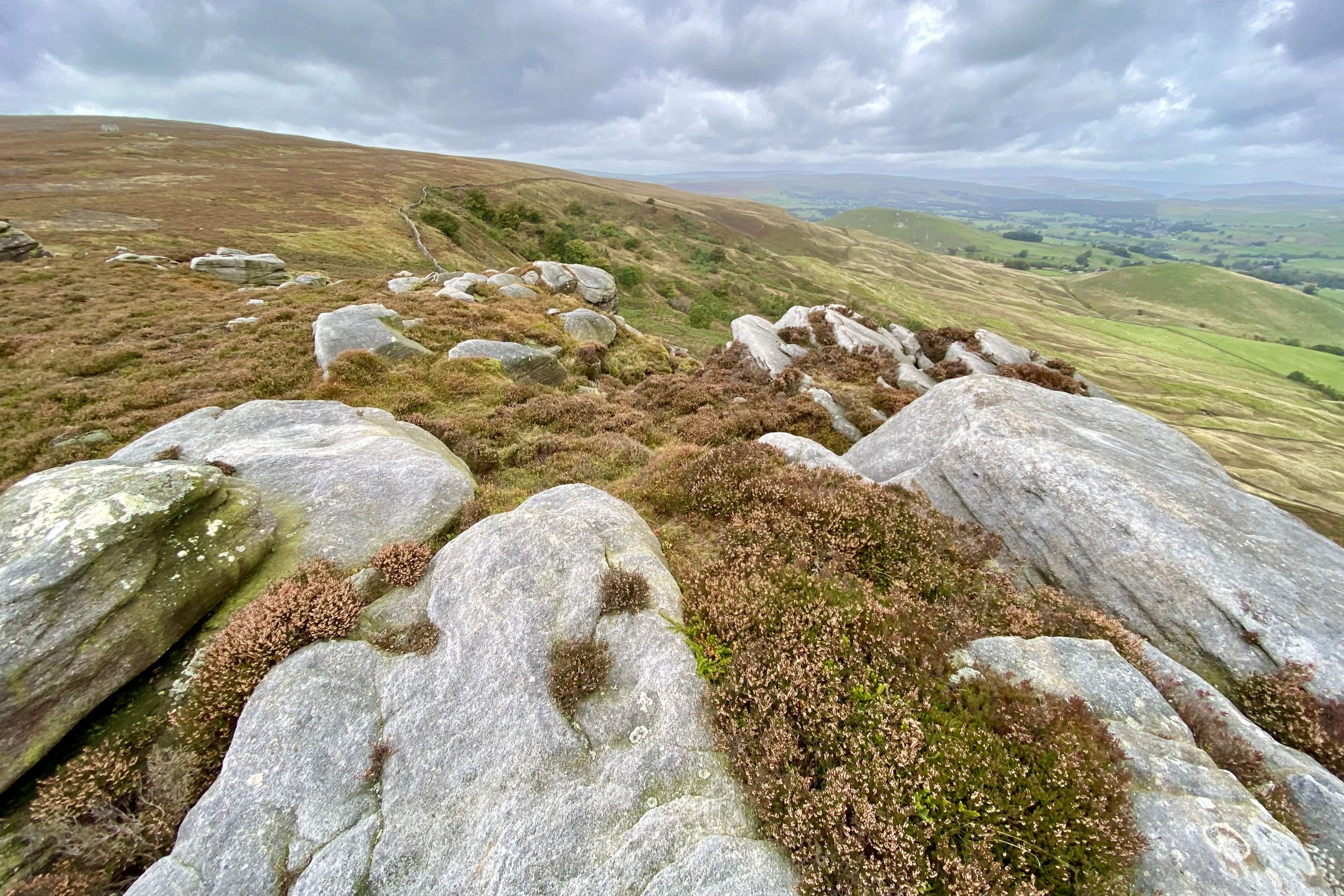
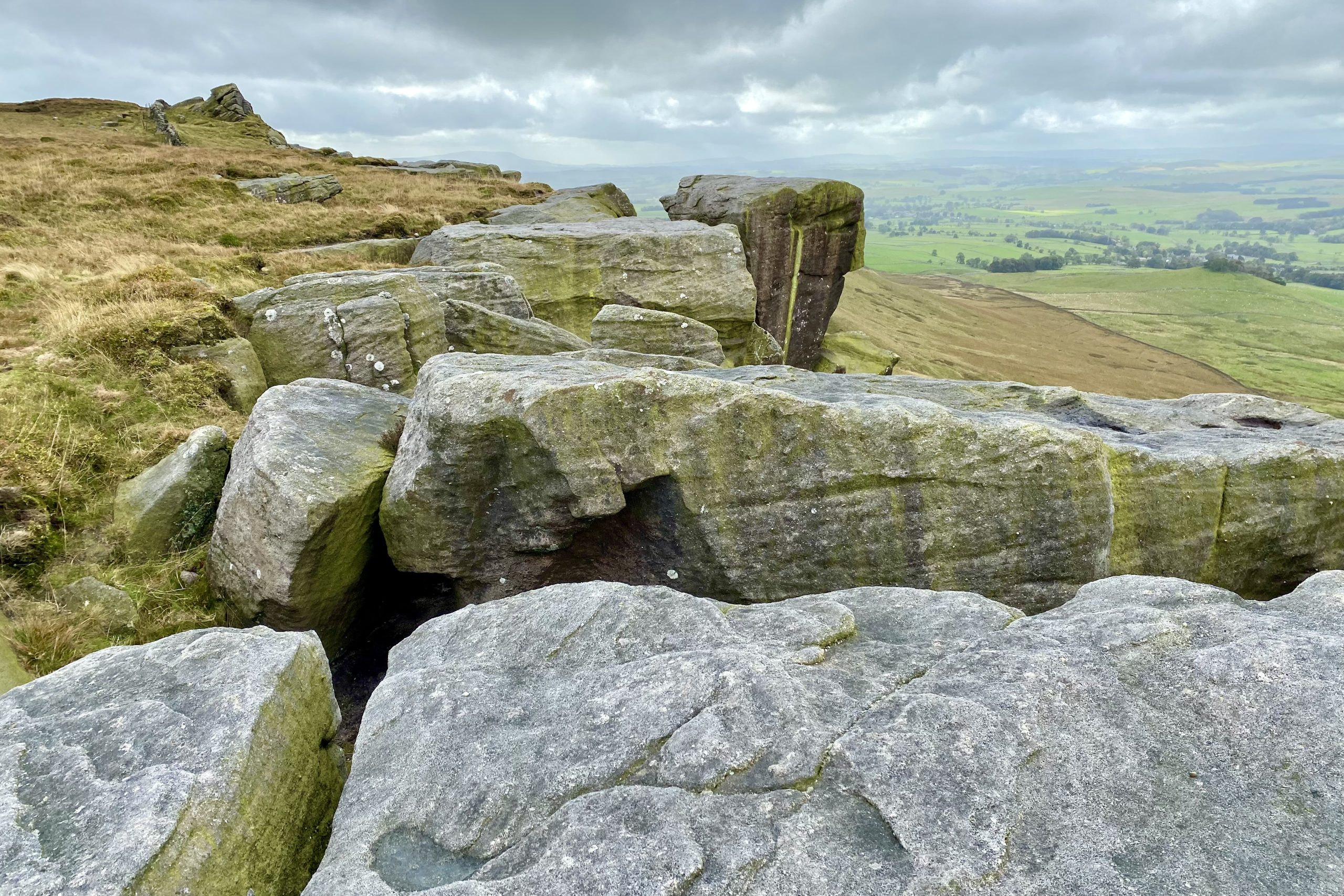
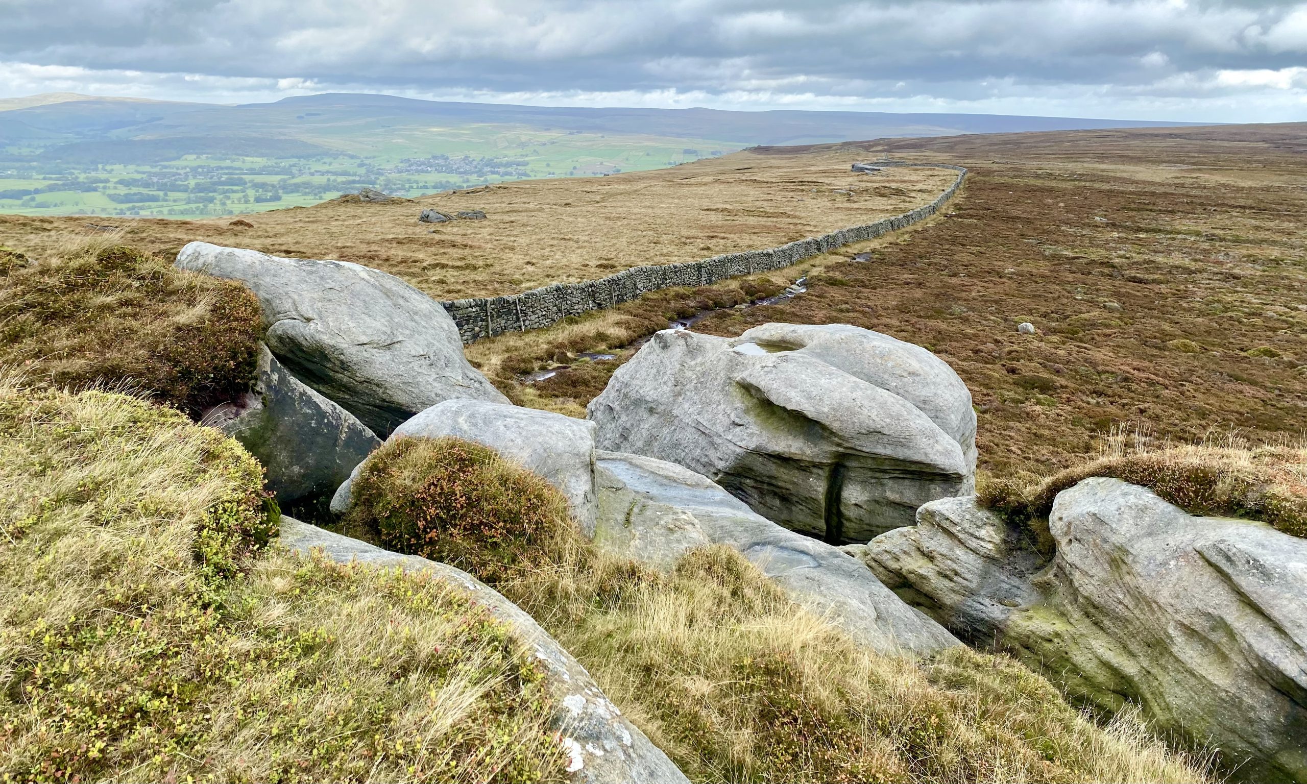
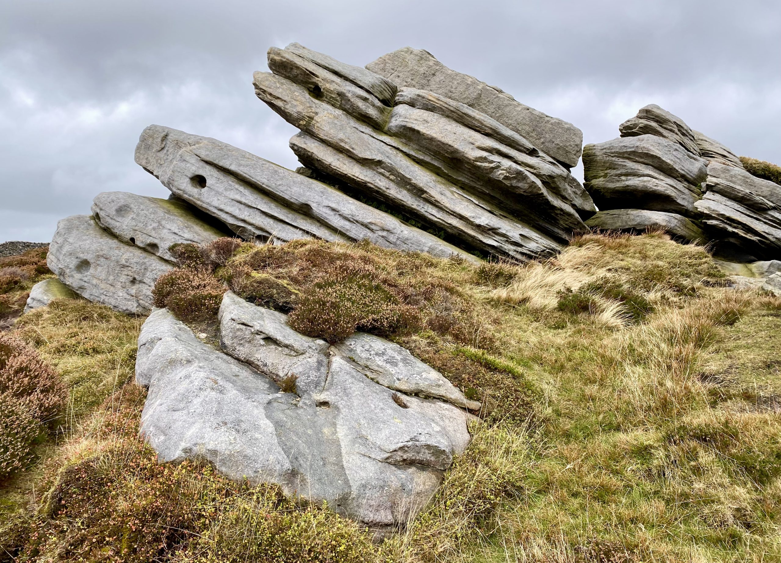
The weathered gritstone crags are a prominent feature in this area.

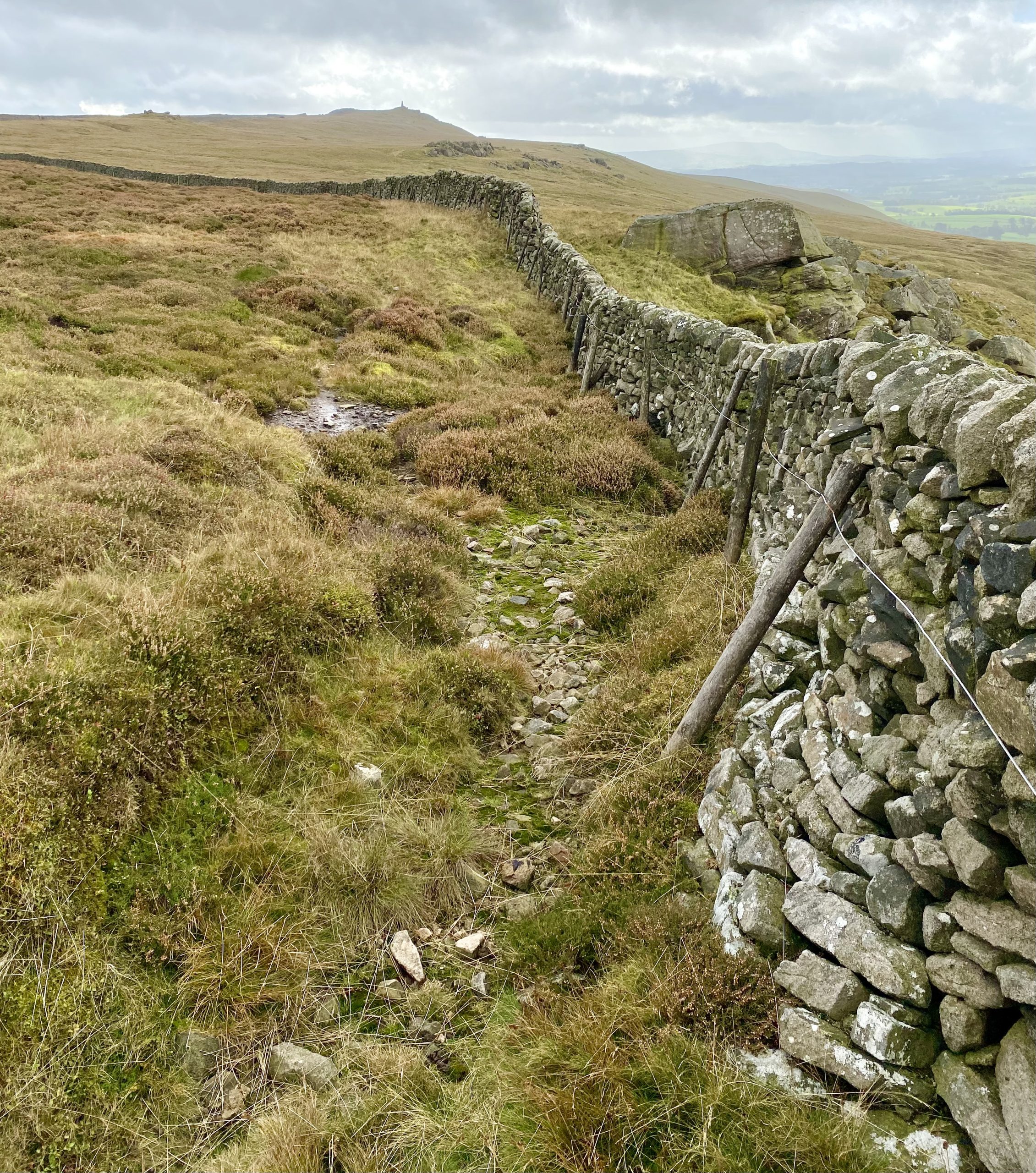
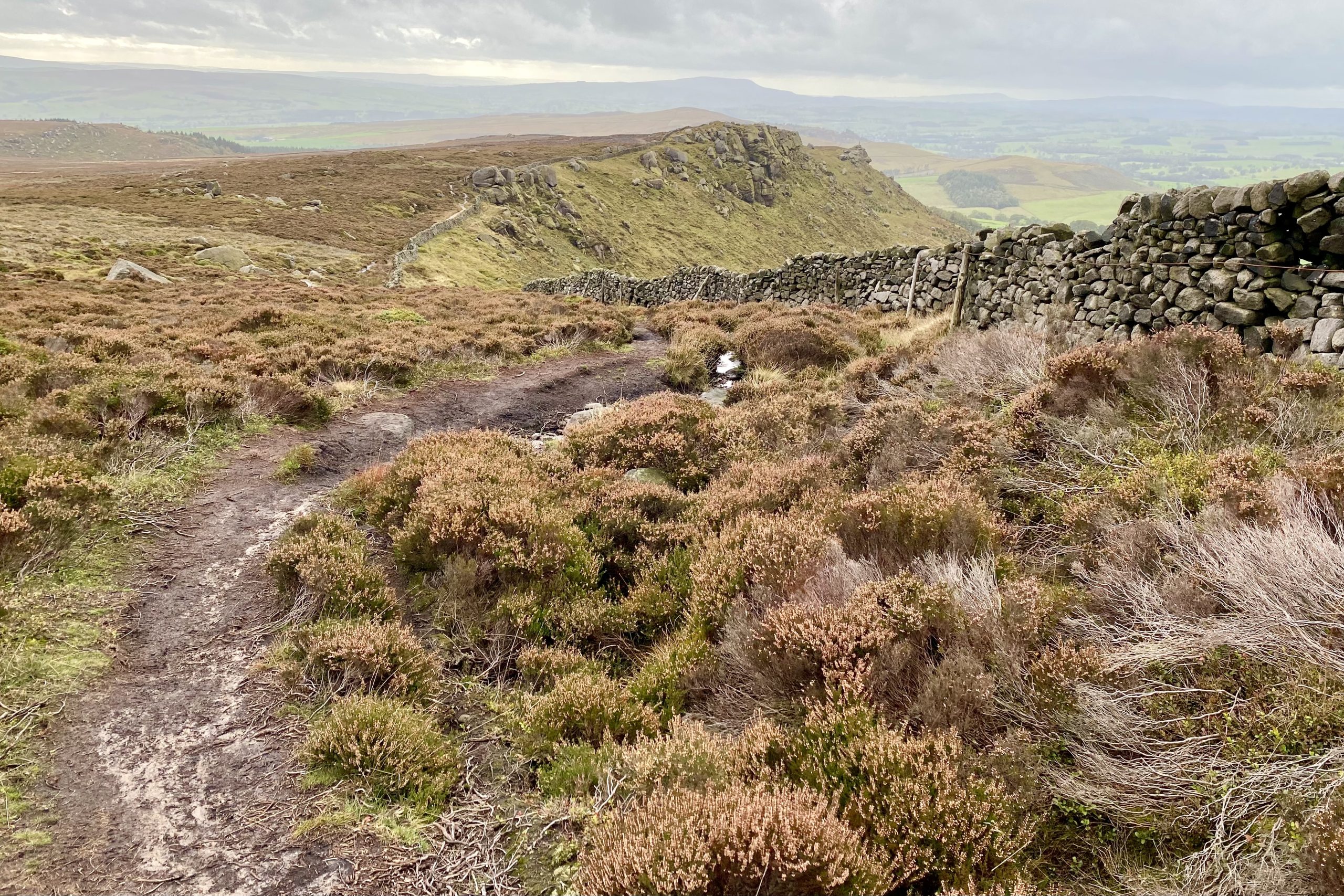
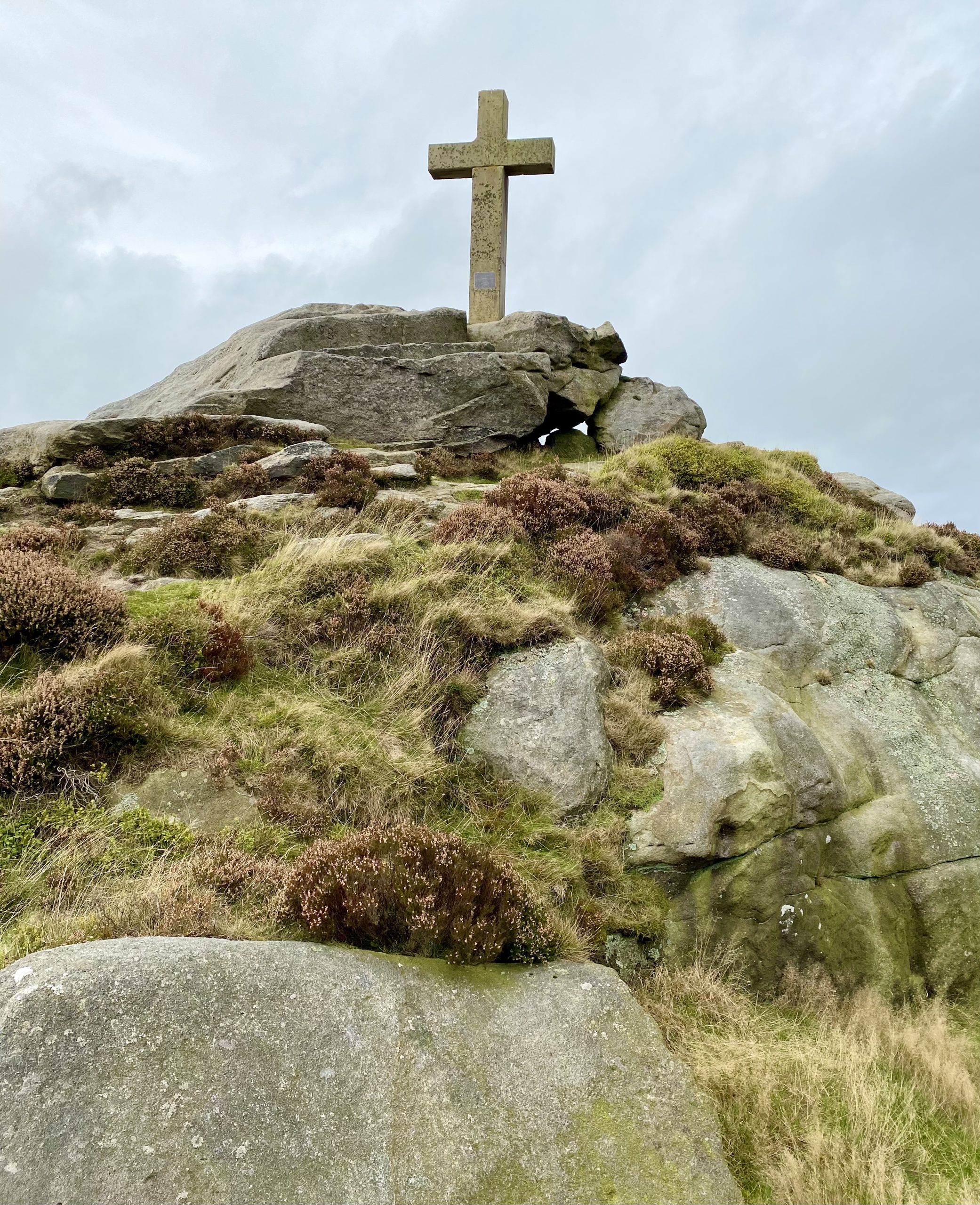
Following the wall to reach the cross on Rylstone Fell.
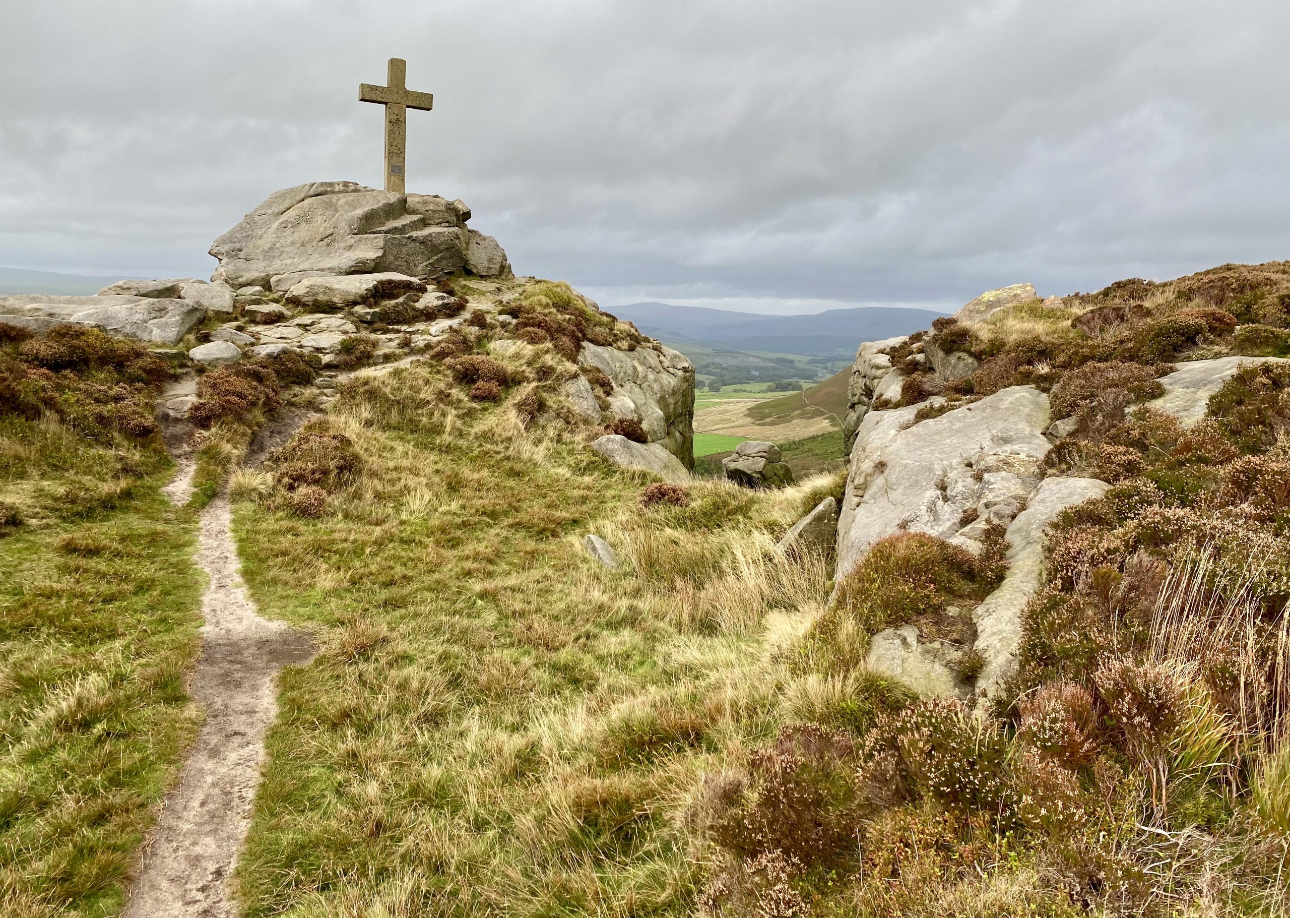
Rylstone Cross at the southern end of the impressive gritstone ridge.
The long route back via Bilton Ings and Lumb Gill Head.

Lower Barden Reservoir viewed from Hutchen Gill Head.