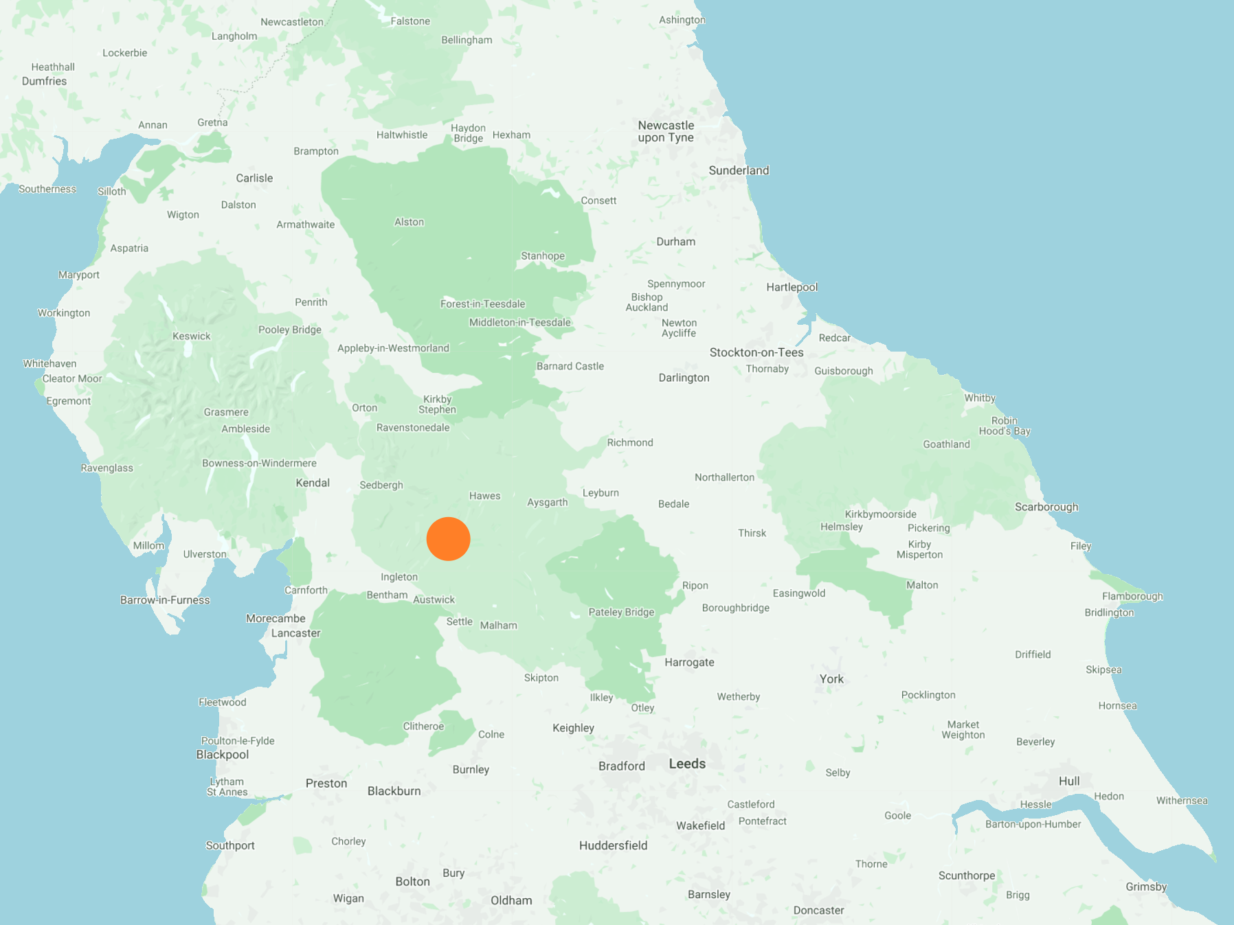
North from Dent Head Viaduct along the minor road to Stonehouse Farm and a short detour east to see Arten Gill Viaduct. North-west to Cowgill then south-west along the Dales Way all the way to the Dales High Way / Craven Way track near Birk Pot. South-east across Great Wold to the aqueduct near Smithy Hill and finally north-east across Blea Moor back to the starting point. An 11-mile walk in the Yorkshire Dales.
Recommended Ordnance Survey Map
The best map to use on this walk is the Ordnance Survey map of the Yorkshire Dales Southern & Western Area, reference OS Explorer OL2, scale 1:25,000. It clearly displays footpaths, rights of way, open access land and vegetation on the ground, making it ideal for walking, running and hiking. The map can be purchased from Amazon in either a standard, paper version or a weatherproof, laminated version, as shown below.
Standard Version
Dent Head Viaduct on the Settle to Carlisle railway line, built between 1869 and 1875 by the Midland Railway Company. The Grade 2 listed viaduct is 182 metres long, 30 metres high and has 10 arches, each of which are 14 metres across.

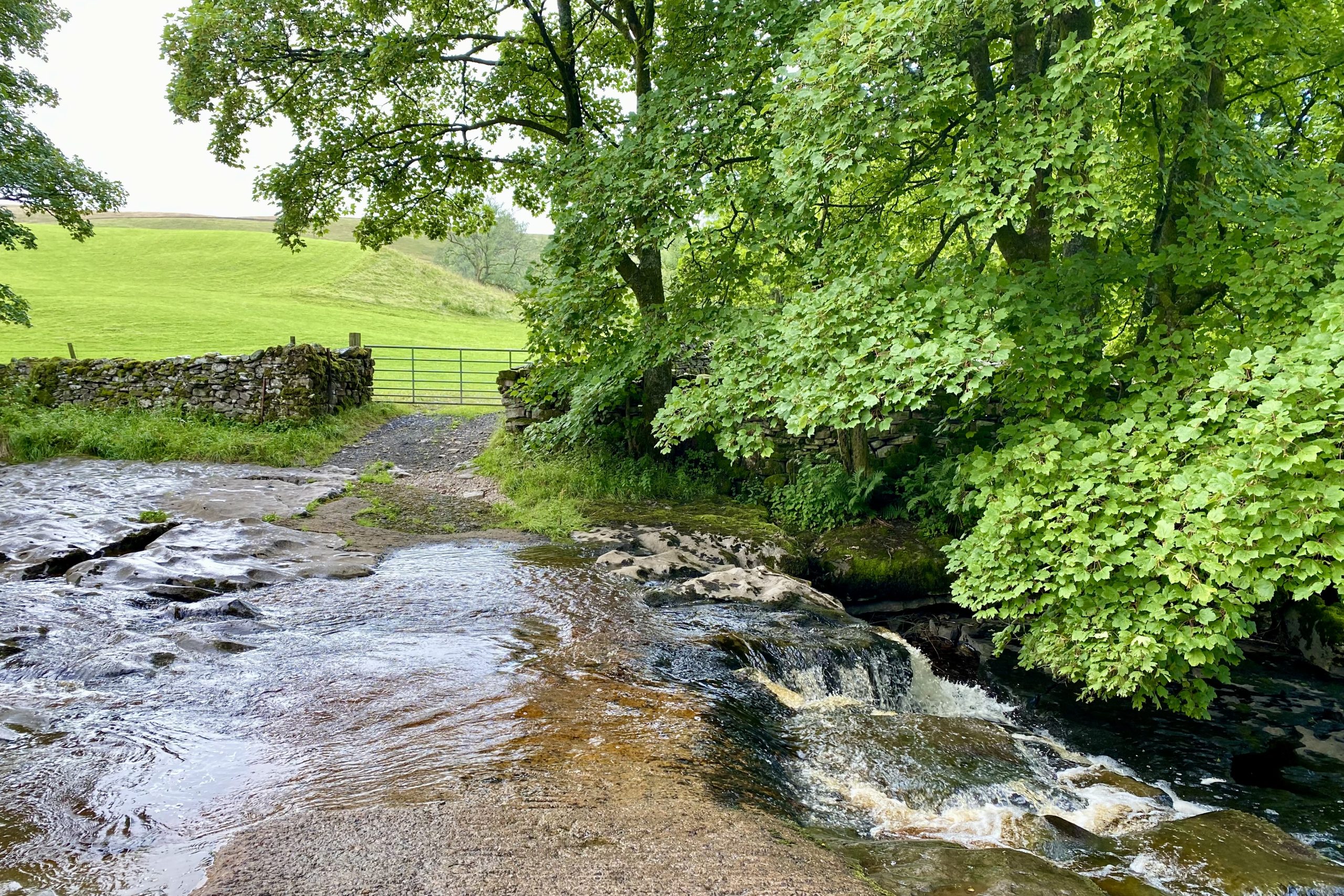
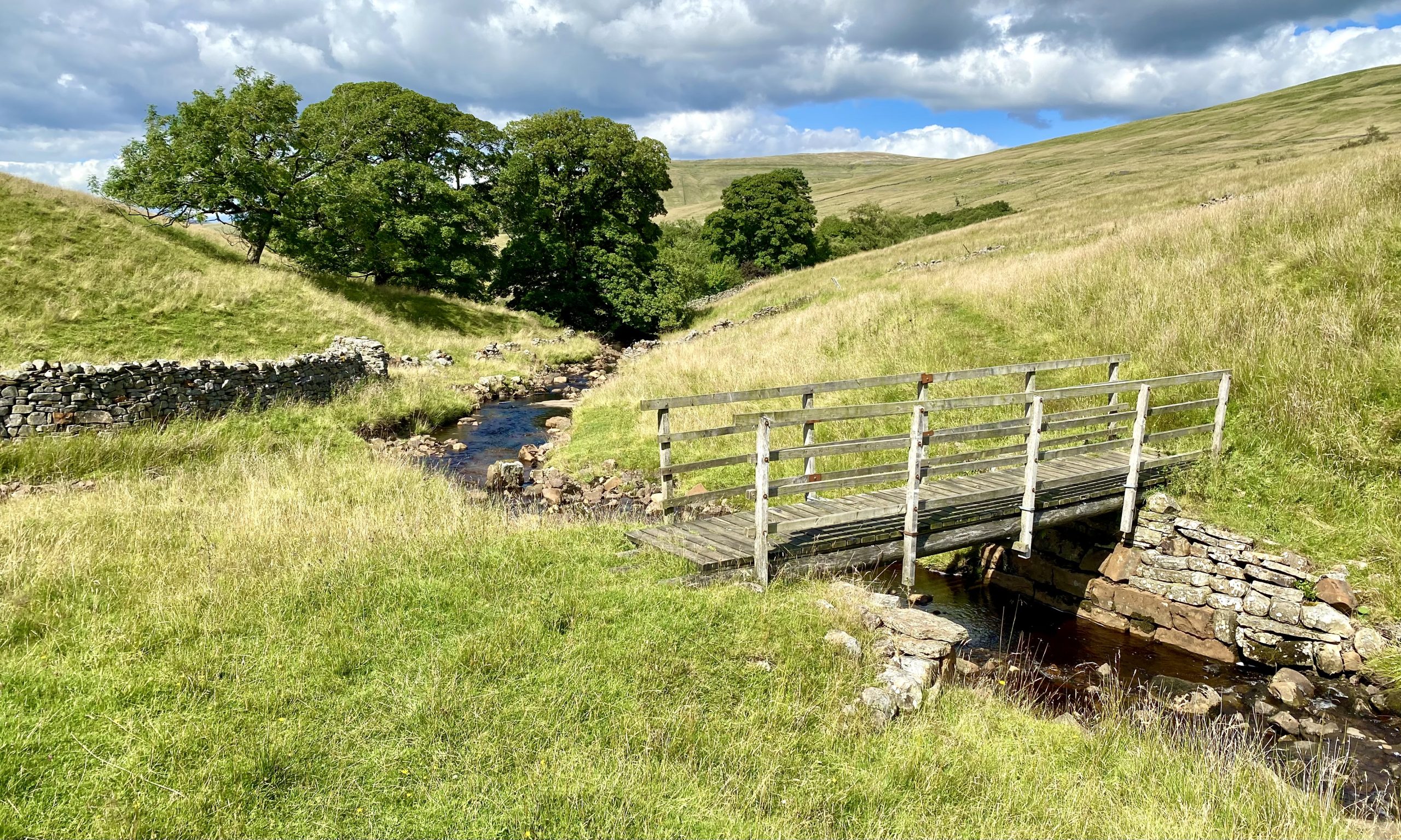
Ford on the River Dee near Stone House.
Farm buildings by the side of the minor road near Stone House.

The Grade 2 listed Arten Gill Viaduct which carries the Settle to Carlisle railway line over Artengill Beck. The bridge has 11 arches and was constructed partly from Dent Marble, a type of limestone quarried nearby. It is 200 metres long, 36 metres high and the parapets are 340 metres above sea level. Groundwork on the site was started in 1870, work on the viaduct itself began in 1871 and the project was completed in 1875.

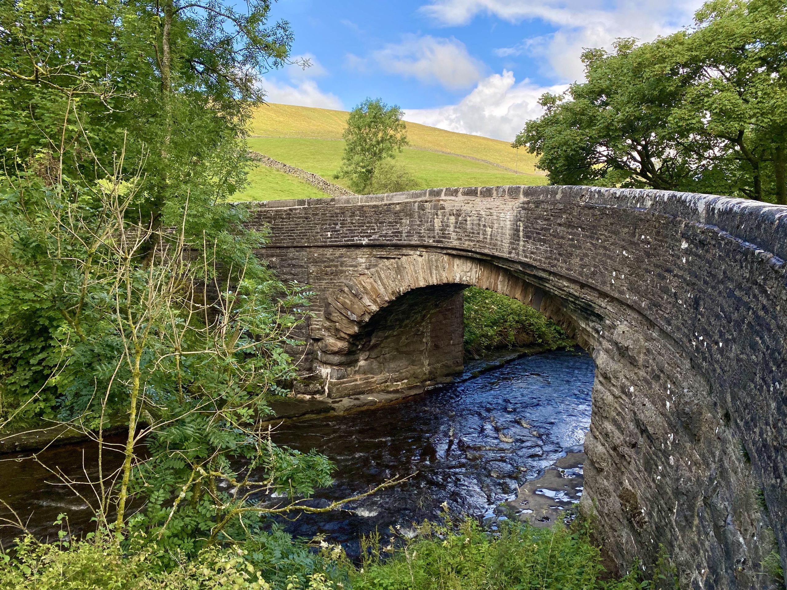
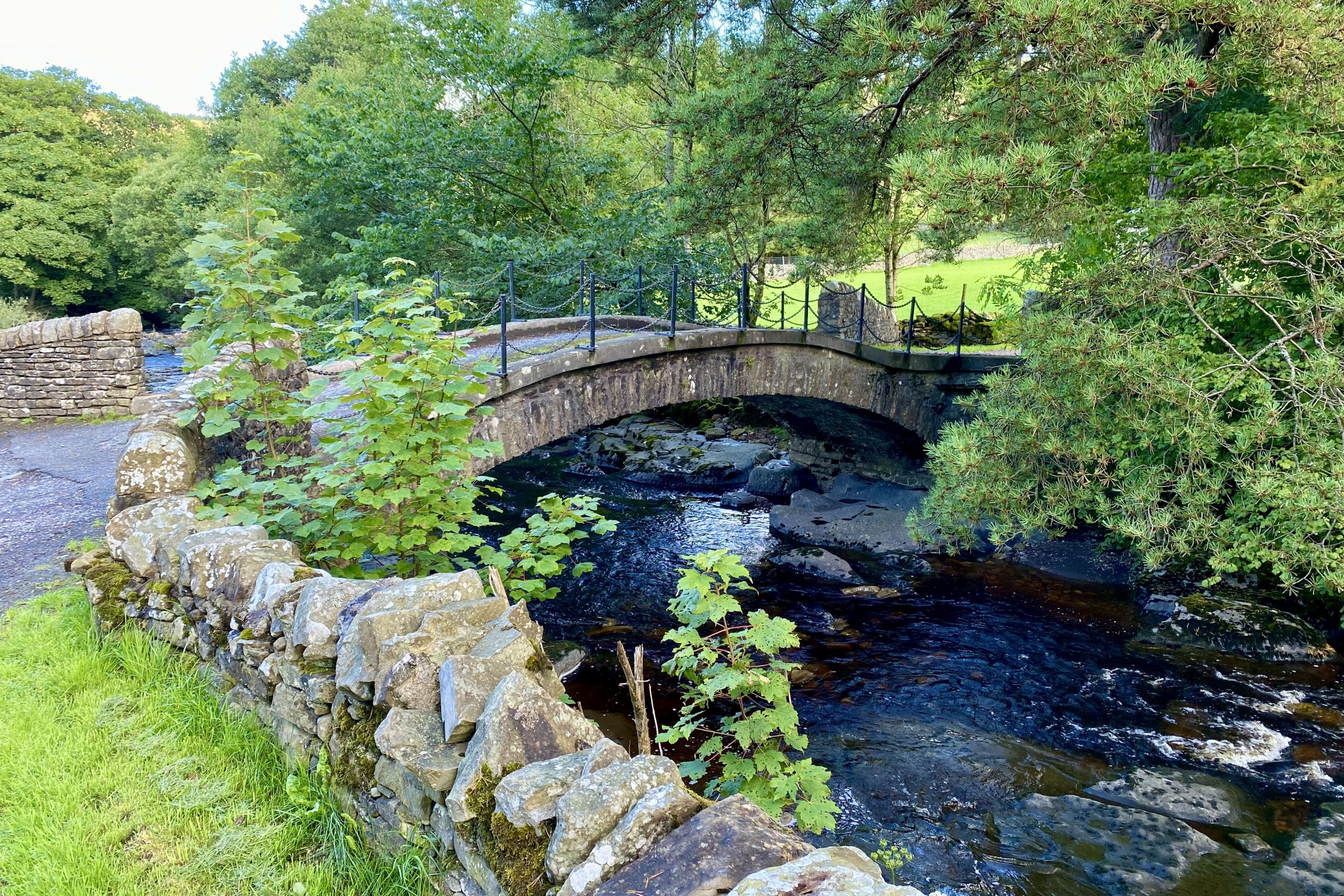
Stone House Bridge over the River Dee.
The River Dee at Harbourgill.
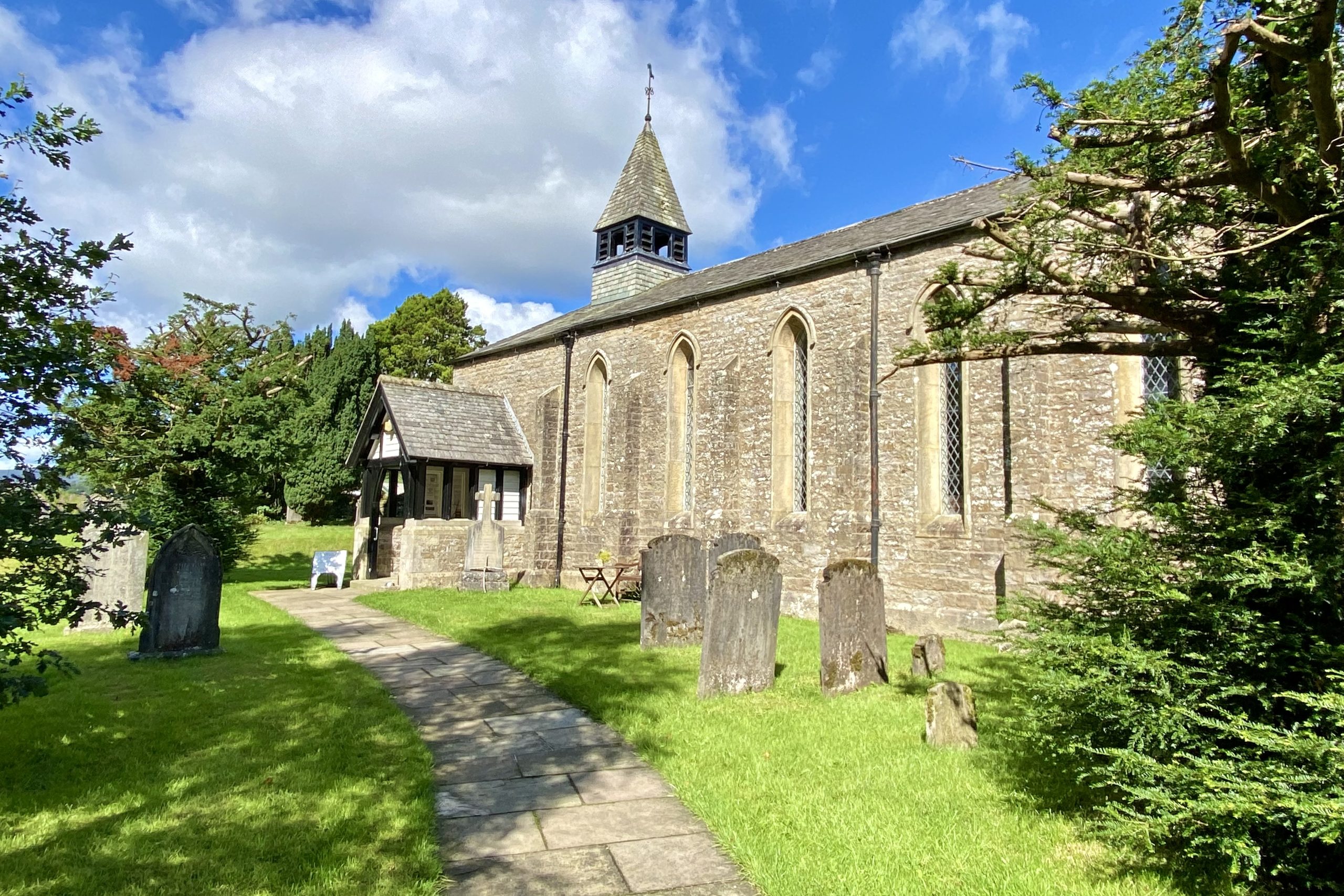
St John the Evangelist in Cowgill, a Grade 2 listed church dating back to 1869.
One of many helpful markers on the Dales Way through Dentdale.

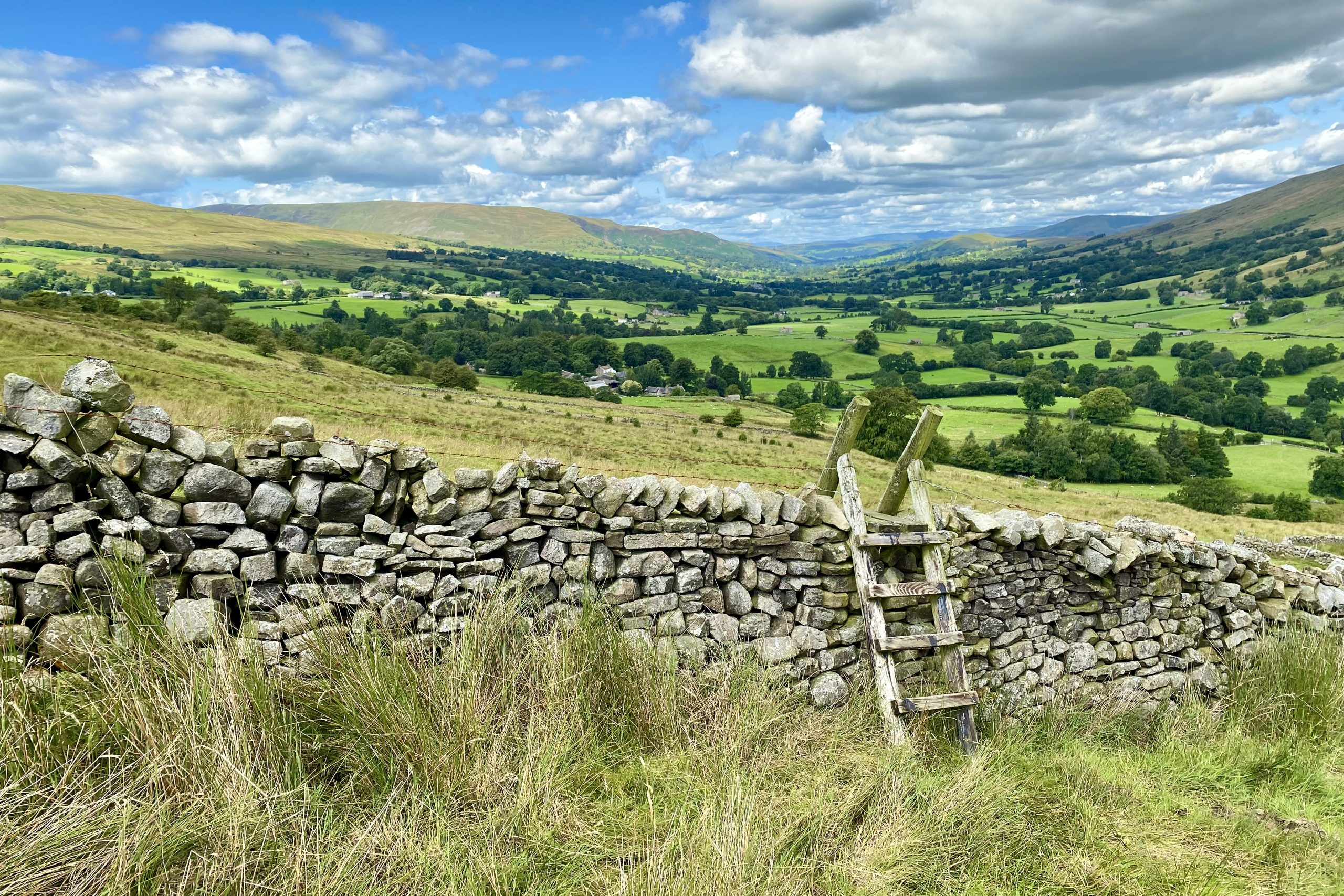
The view north-west through the Dentdale valley from the path between Swarthwaite and Birk Pot.
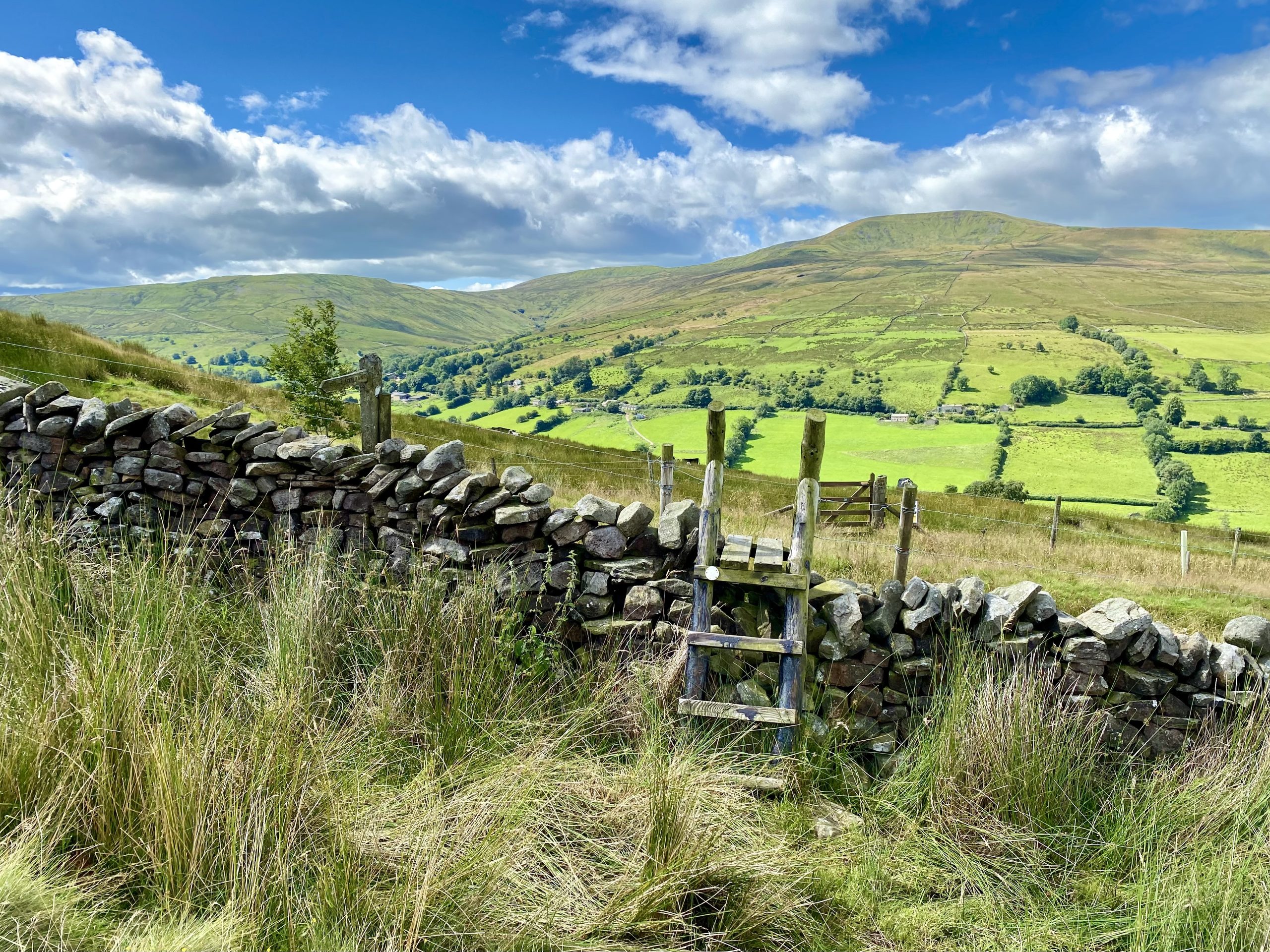
Looking south-west across Deepdale from the path between Swarthwaite and Birk Pot towards Great Coum.
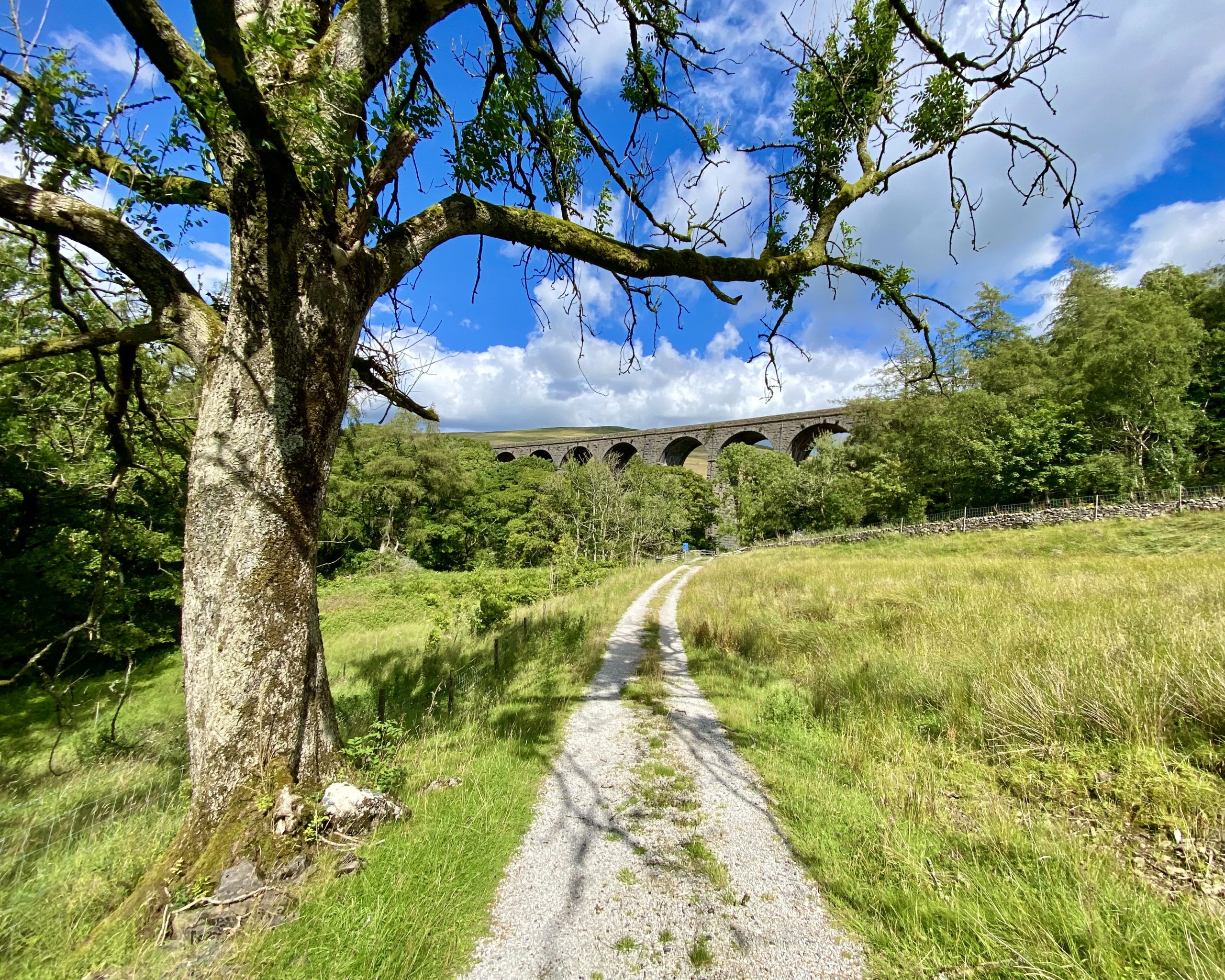
The view north-east from Boot of the Wold towards Arten Gill viaduct, with Great Knoutberry Hill in the background.
Whernside (right of picture) and Ingleborough (left, in the distance) as seen from Craven Wold.
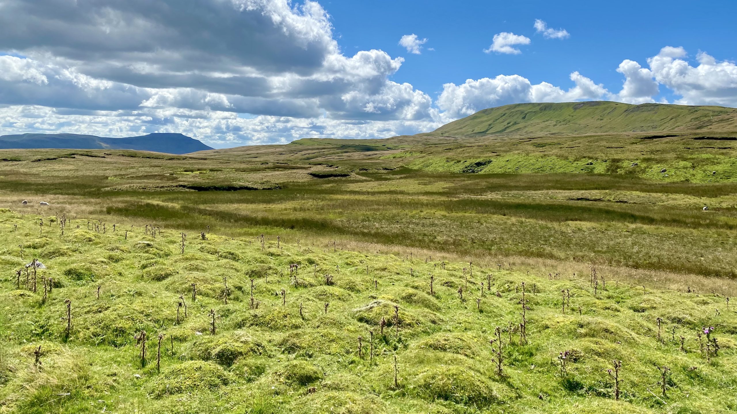
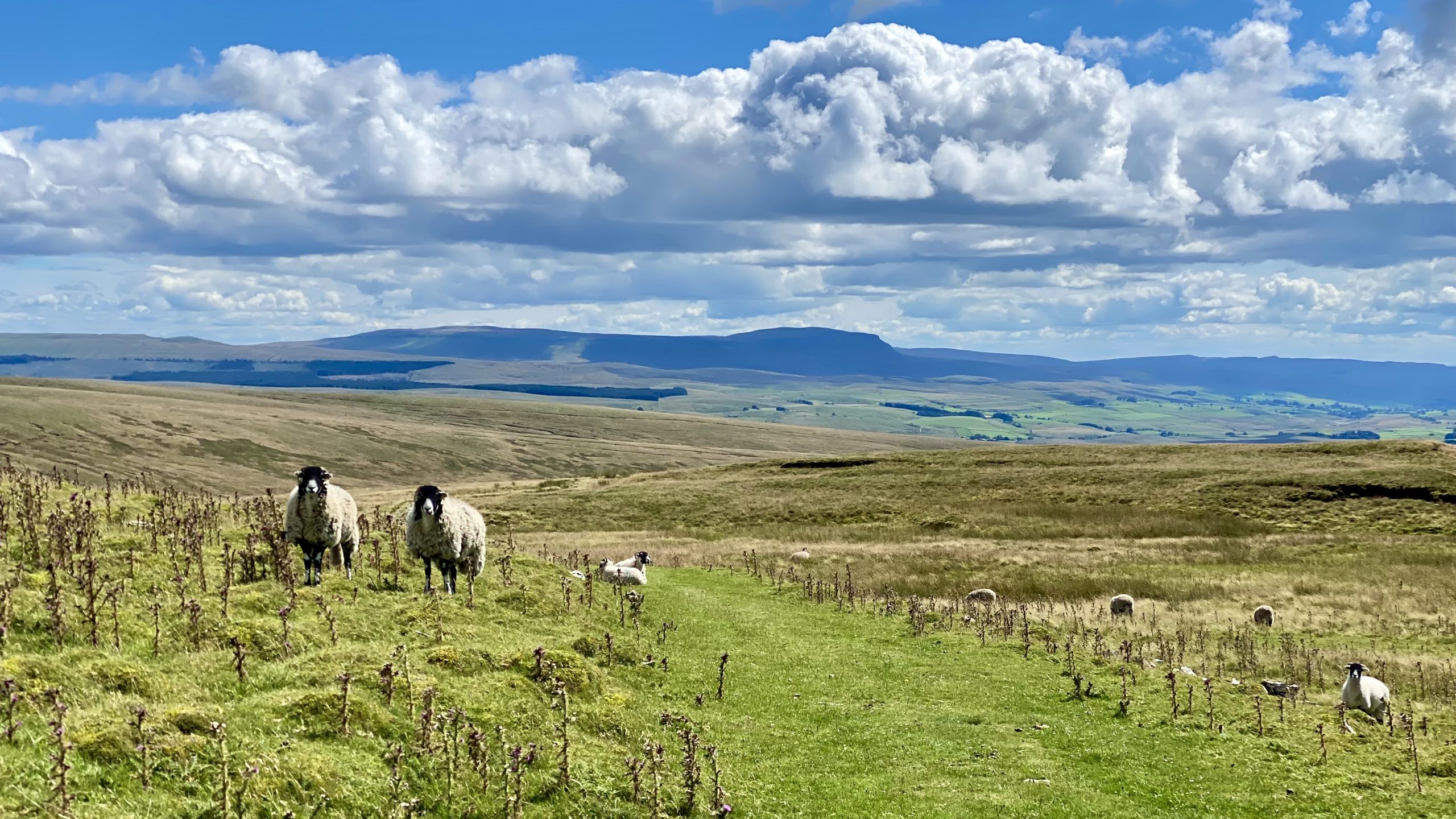
The view south-east from Craven Wold towards Pen-y-Ghent.
The magnificent Whernside, viewed from Rough Gill.
The Dales High Way down to the aqueduct near Smithy Hill. The path here has to be tough and well-maintained as it is used by tens of thousands of Yorkshire Three Peaks Challenge walkers every year.

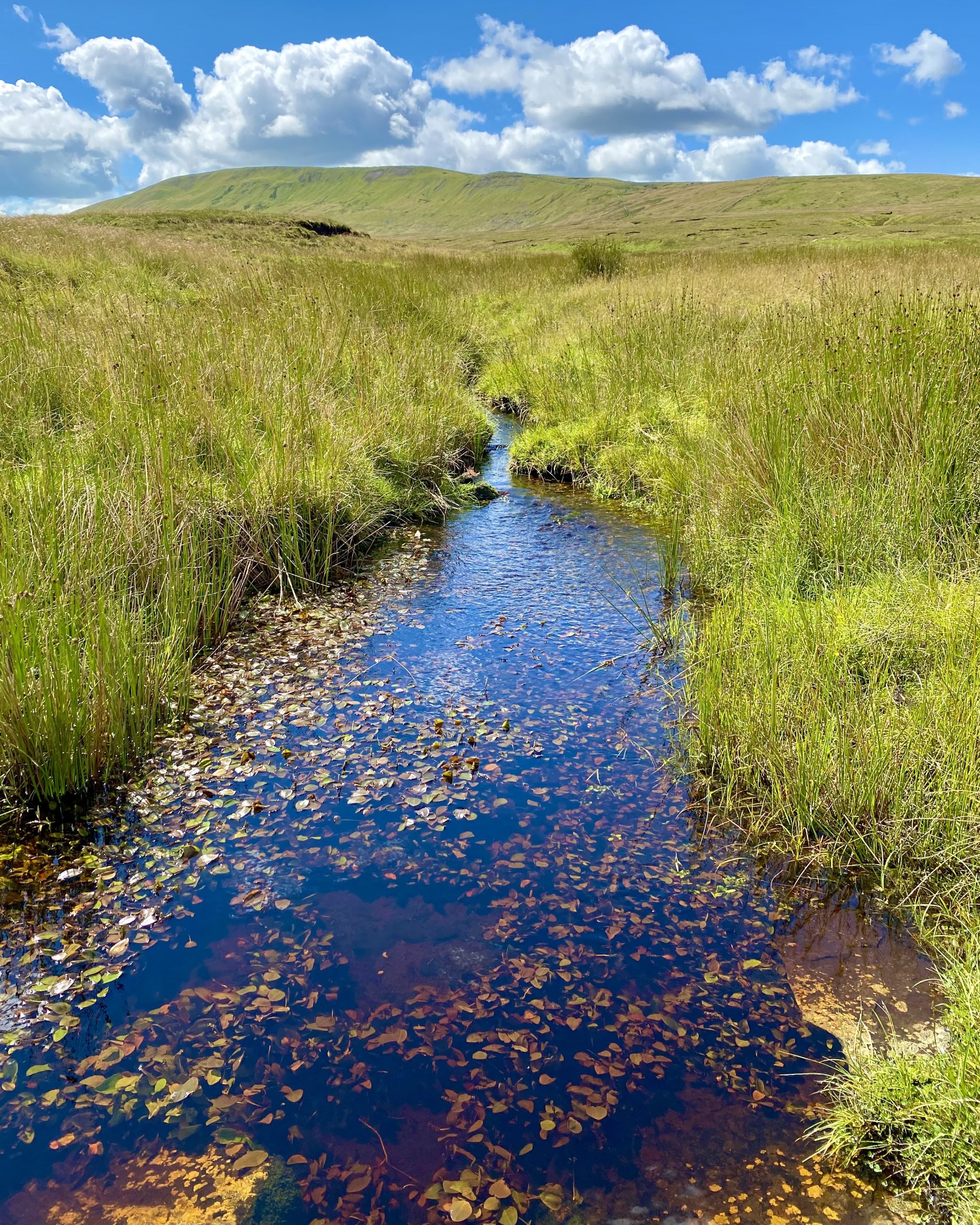
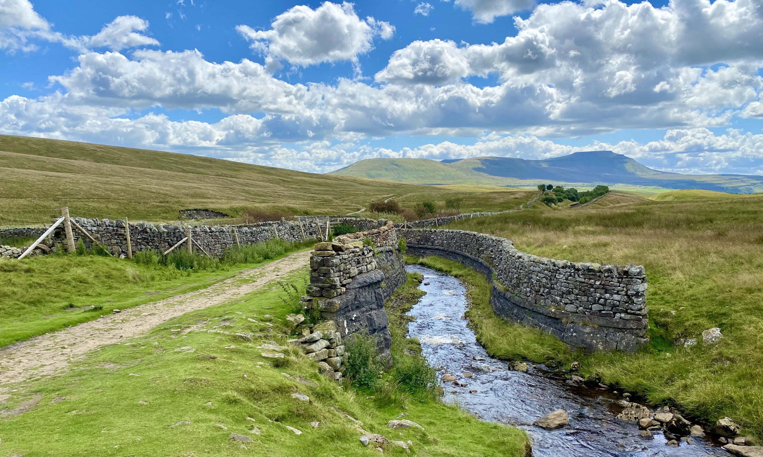
Aquaduct in Little Dale, carrying water from Force Gill over the Settle to Carlisle railway line.
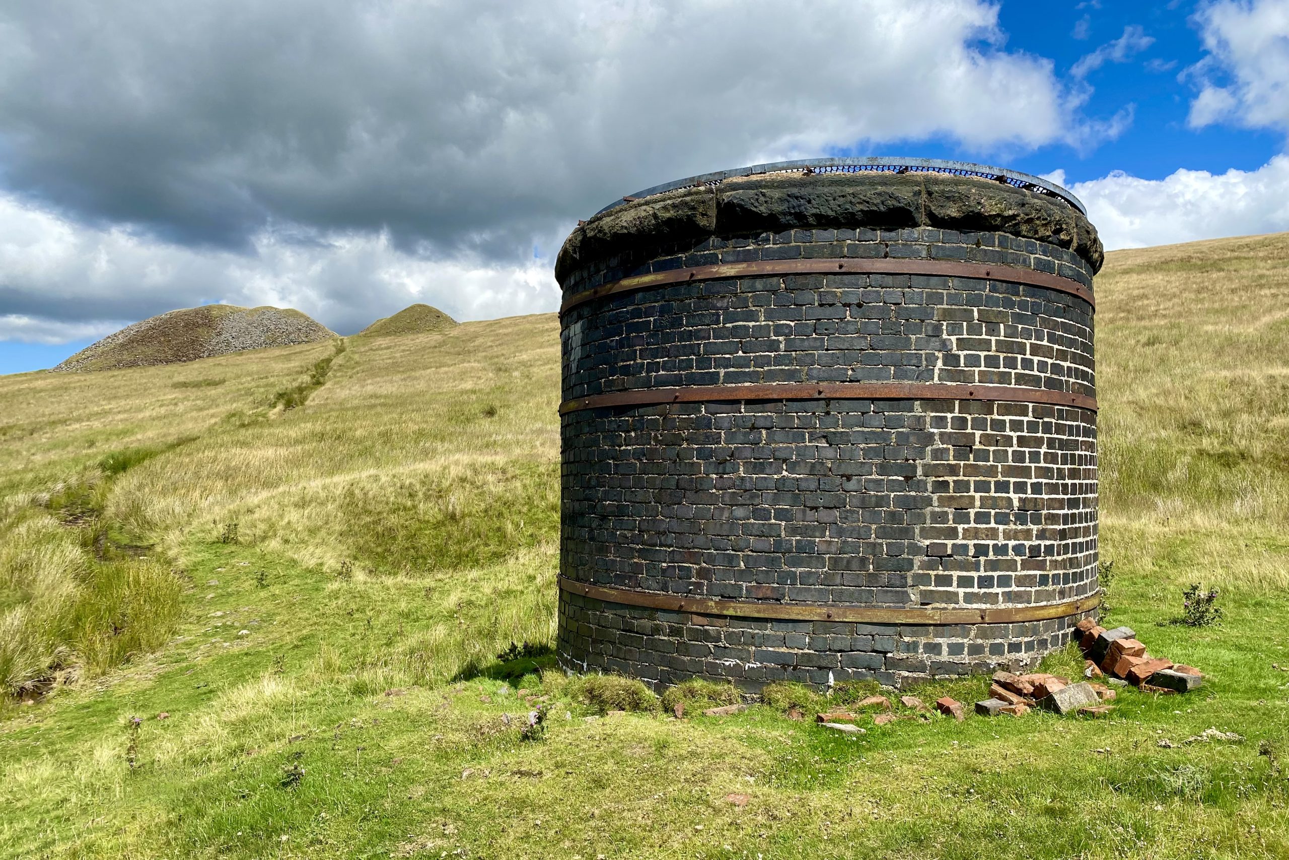
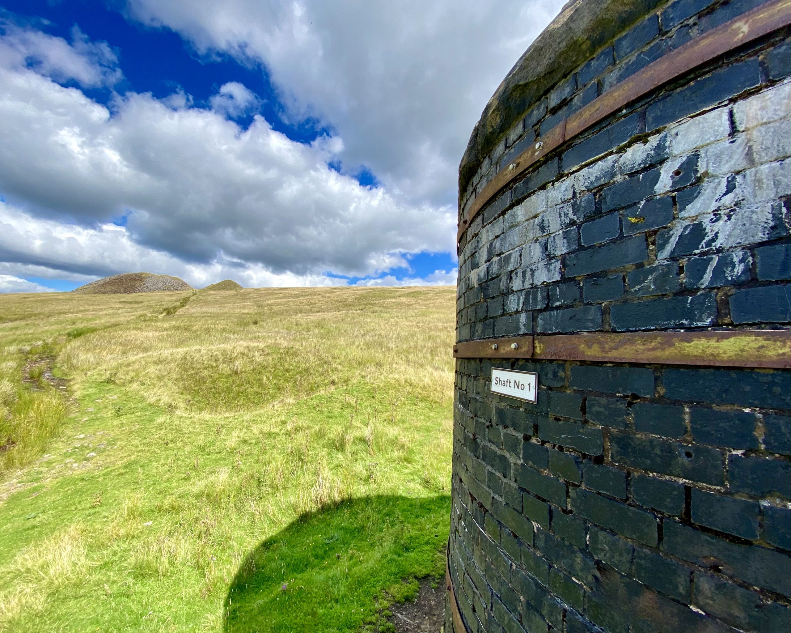
Bleamoor Tunnel
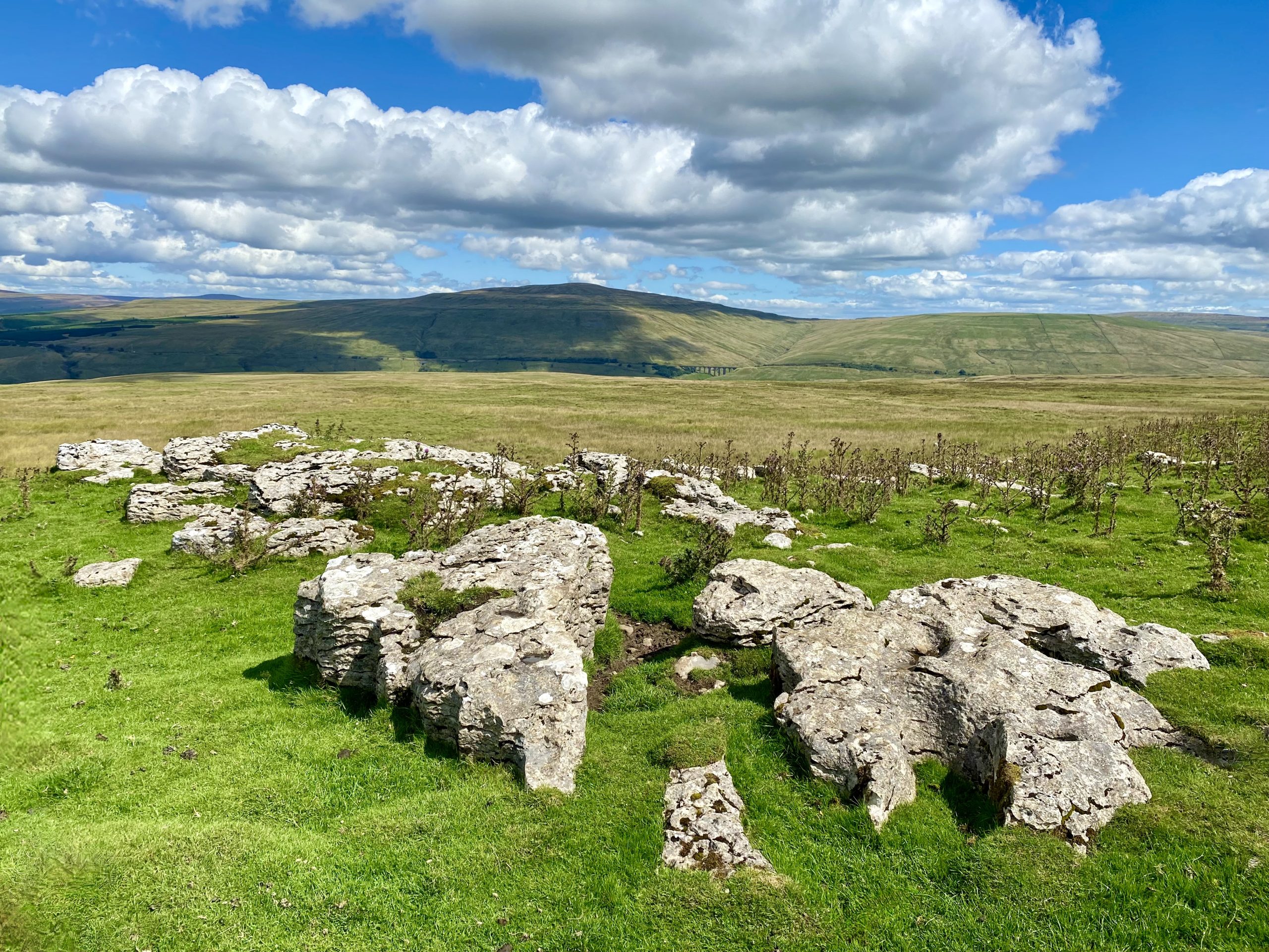
The walking route across Blea Moor between Smithy Hill and Mossy Bottom directly follows the course of Bleamoor Tunnel. When the tunnel was built seven shafts were sunk to aid construction and three still remain for ventilation purposes.
Measuring 2404 metres in length, the railway tunnel is the longest on the Settle to Carlisle railway line, almost twice as long as the second longest, Risehill Tunnel, a few miles further north.
Built by the Midland Railway Company, it took more than four years to complete. Construction started in 1872, with dynamite transported from Carlisle and Newcastle in carts to the construction site.

The wages on offer to the miners who dug the tunnel were between 5s and 5s 6d per day (around £25 in today’s money). Sixteen separate gangs of workers could be used (one from each end and two from the foot of each of the seven shafts.

Bleamoor Tunnel, which passes some 150 metres below ground, was completed in 1875 at a cost of £109,000 (equivalent to about £11 million in 2022).
At one point of the track’s history, steam locomotives were tested for their worthiness by driving them through this tunnel.

The line from the south enters the tunnel on a rising 1 in 100 gradient (the ‘Long Drag’ beginning back at Settle Junction). The rest of the tunnel is on a shallow descending gradient of 1 in 440 towards Dent Head.

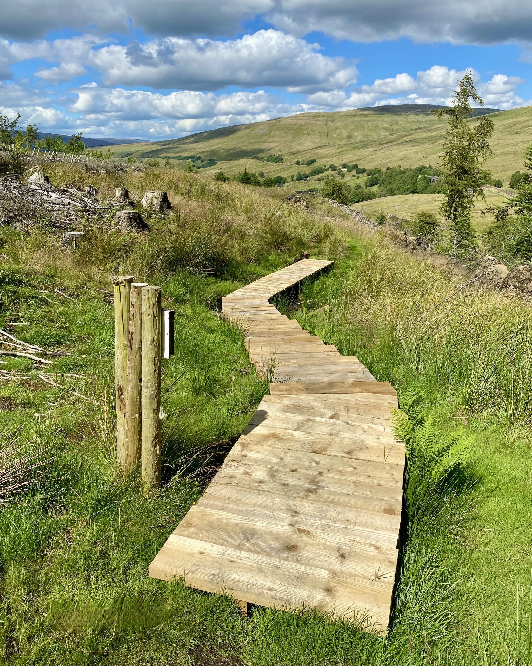
One of several helpful sets of walking boards across the boggy ground near Mossy Bottom.
Waterfall just south of Dent Head Farm near Hazel Bottom.

Lovely countryside just south of Dent Head Farm.
The owner of Dent Head Farm allowed me to use his private drive back to Dent Head Viaduct.