North from the village of Thwaite along a path across fields to Angram, followed by a climb up Keld Side and a descent to Wain Wath Force. North-west to Ravenseat then a long trek north-east across moorland to Tan Hill. South to Keld using the Pennine Way and finally further south along paths and a minor road, again via Angram, back to the starting point. A 15-mile walk in the Yorkshire Dales.
Recommended Ordnance Survey Map
The best map to use on this walk is the Ordnance Survey map of the Yorkshire Dales Northern & Central Area, reference OS Explorer OL30, scale 1:25,000. It clearly displays footpaths, rights of way, open access land and vegetation on the ground, making it ideal for walking, running and hiking. The map can be purchased from Amazon in either a standard, paper version or a weatherproof, laminated version, as shown below.
Standard Version
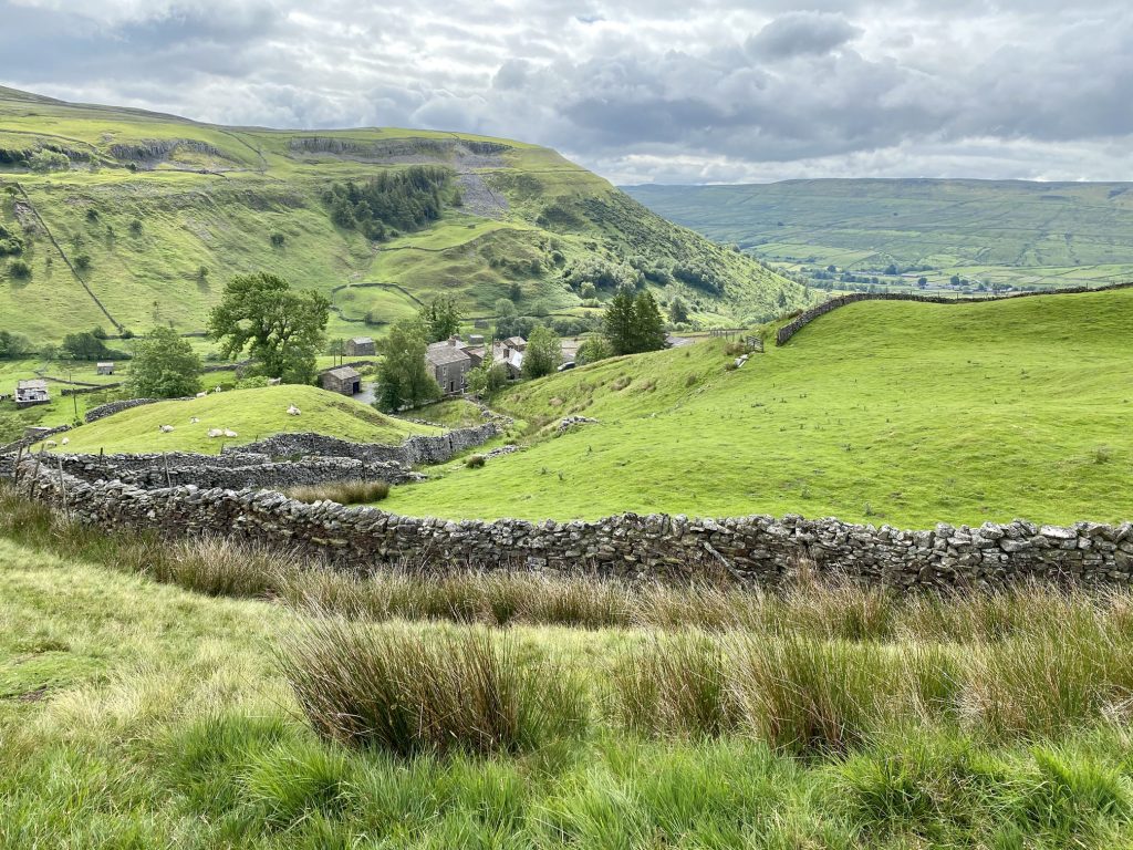
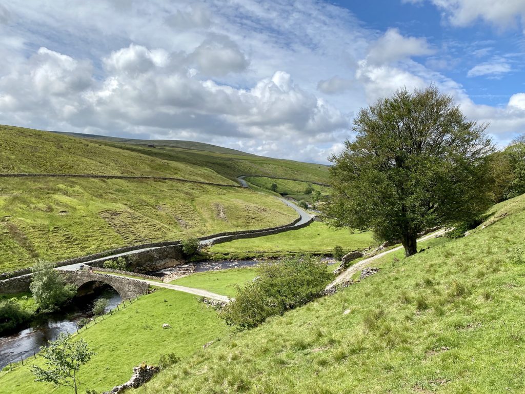
Looking south-east down to the hamlet of Angram, with Hooker Mill Scar in the background.
Heading down to Wain Wath Force on the River Swale. The exposure of white rock on the left is Cotterby Scar.
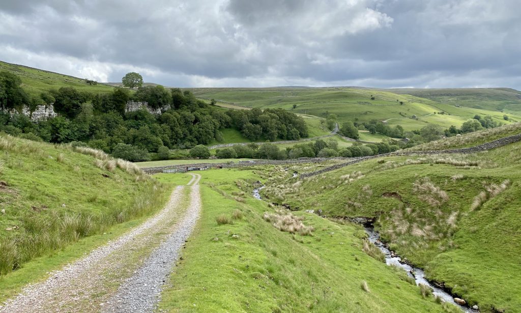
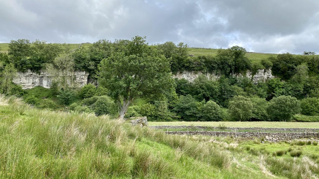
Cotterby Scar on the north side of the River Swale, about a mile west of Keld.
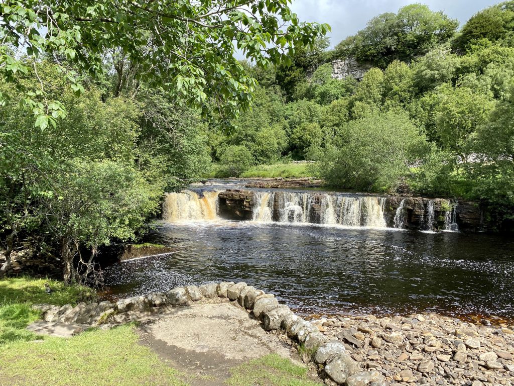
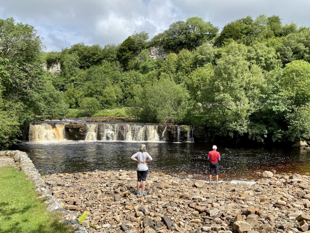
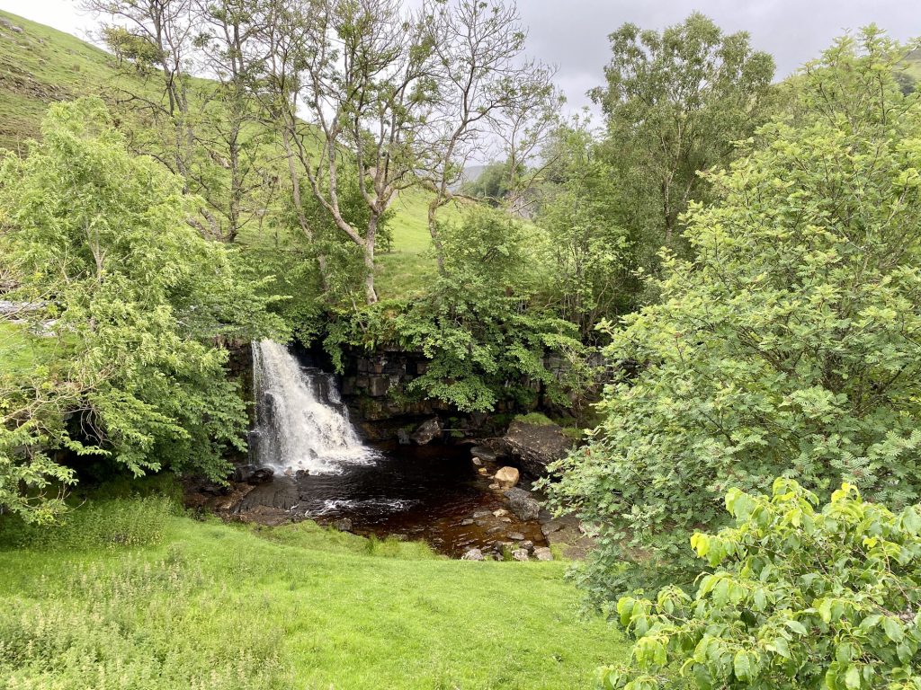
Wain Wath Force on the River Swale.
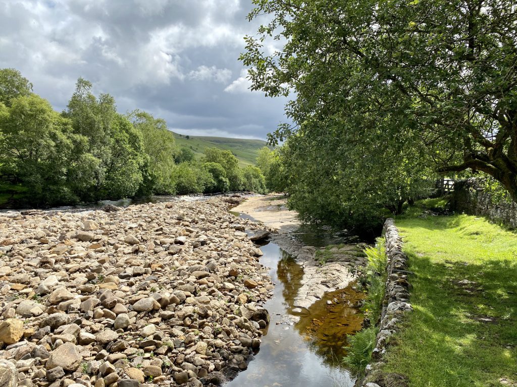
Rocky deposits on the south side of the River Swale at Wainwath Force.
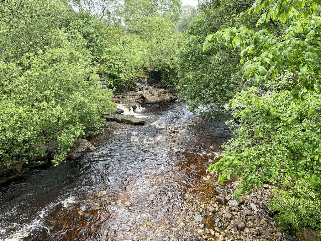
The River Swale as seen from Park Bridge.

The view of Low Bridge over the River Swale from Cotterby Scar.
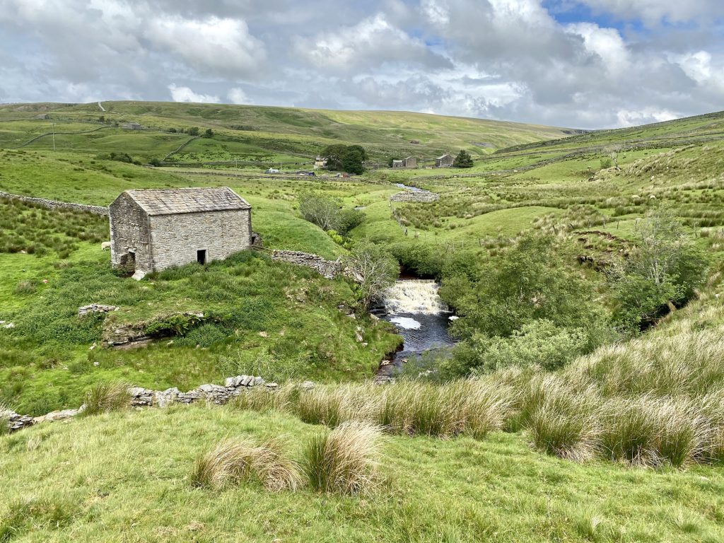
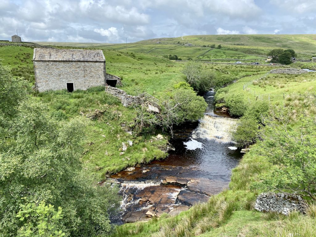
Waterfall created by Whitsundale Beck just south of the farm at Ravenseat.
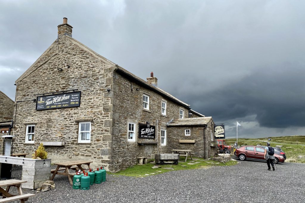
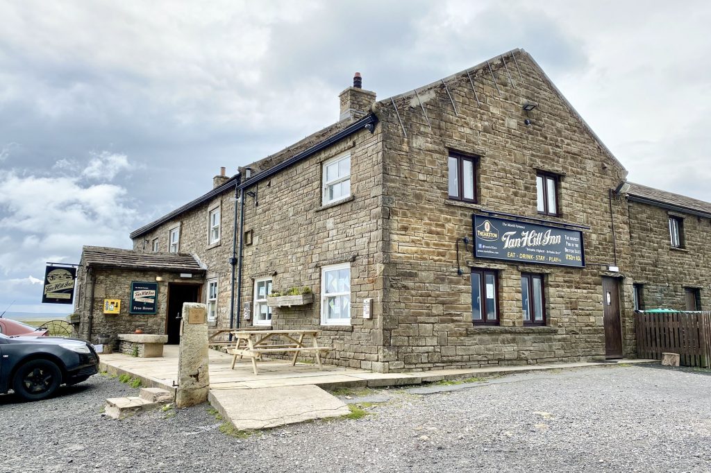
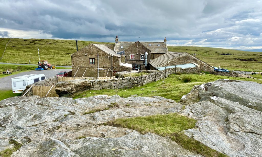
The famous 17th-century Tan Hill Inn, Britain’s highest public house at 528 metres (1732 feet) above sea level.
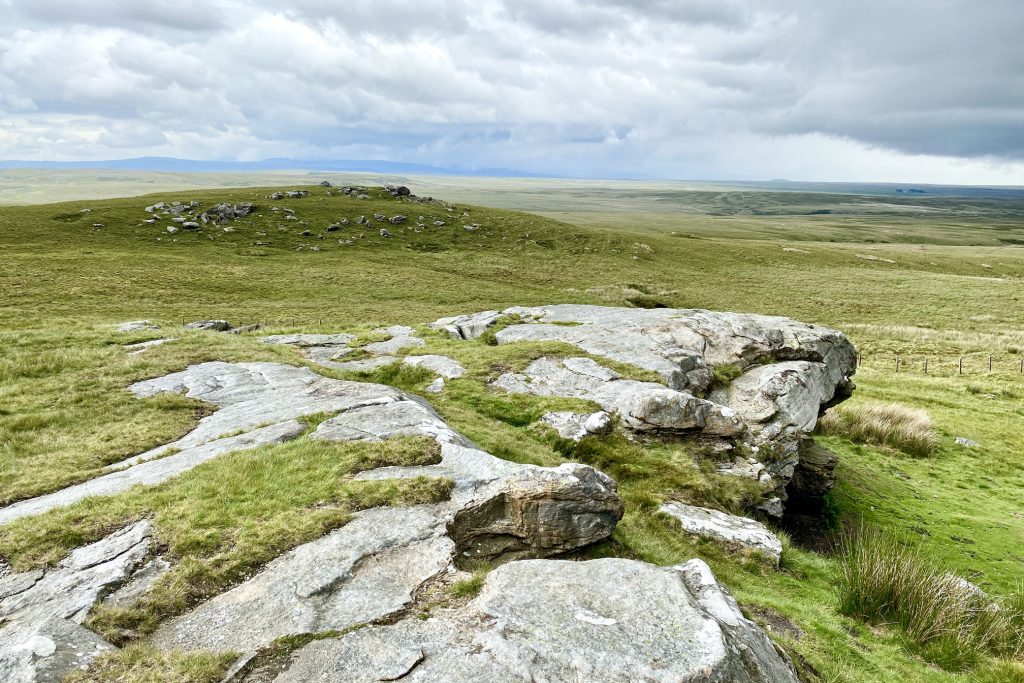
The view north from Tan Hill over to the hills and mountains of the North Pennines.
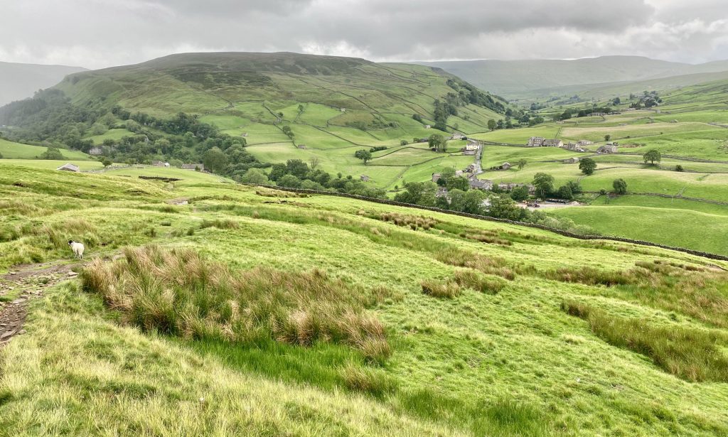
The view down to the village of Keld, with Kisdon (summit height 499 metres) in the background.
Waterfall on East Gill just before it joins the River Swale.
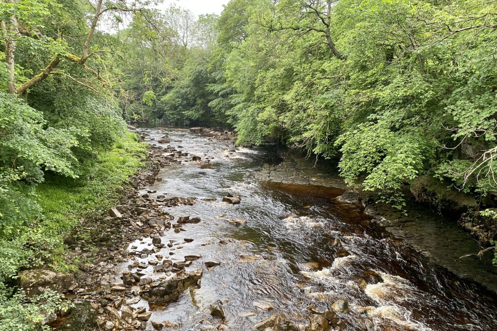
The River Swale just outside Keld. The water looks brown because it has absorbed peat from the moorlands.
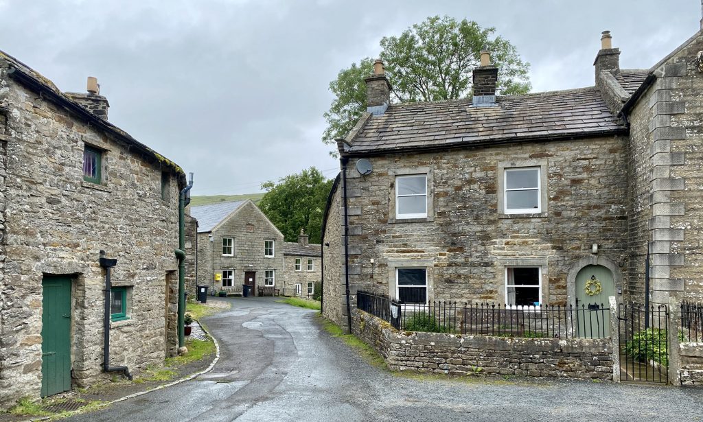
The peaceful village of Keld, once an important place for lead mining with a population as high as 6000 people in the middle of the 19th century. Today it is probably less than 100.
The view of Hooker Mill Scar from Angram Lane.