South through the Rye Dale valley to Ashberry Farm, then north-west through Ashberry Nature Reserve to Old Byland. West then north to Murton Grange, before continuing over farmland to the village of Hawnby. Finally east via Easterside Lane to Wass House then south back to the starting point. A 15-mile walk in the North York Moors.

Recommended Ordnance Survey Map
The best map to use on this walk is the Ordnance Survey map of the North York Moors Western Area, reference OS Explorer OL26, scale 1:25,000. It clearly displays footpaths, rights of way, open access land and vegetation on the ground, making it ideal for walking, running and hiking. The map can be purchased from Amazon in either a standard, paper version or a weatherproof, laminated version, as shown below.
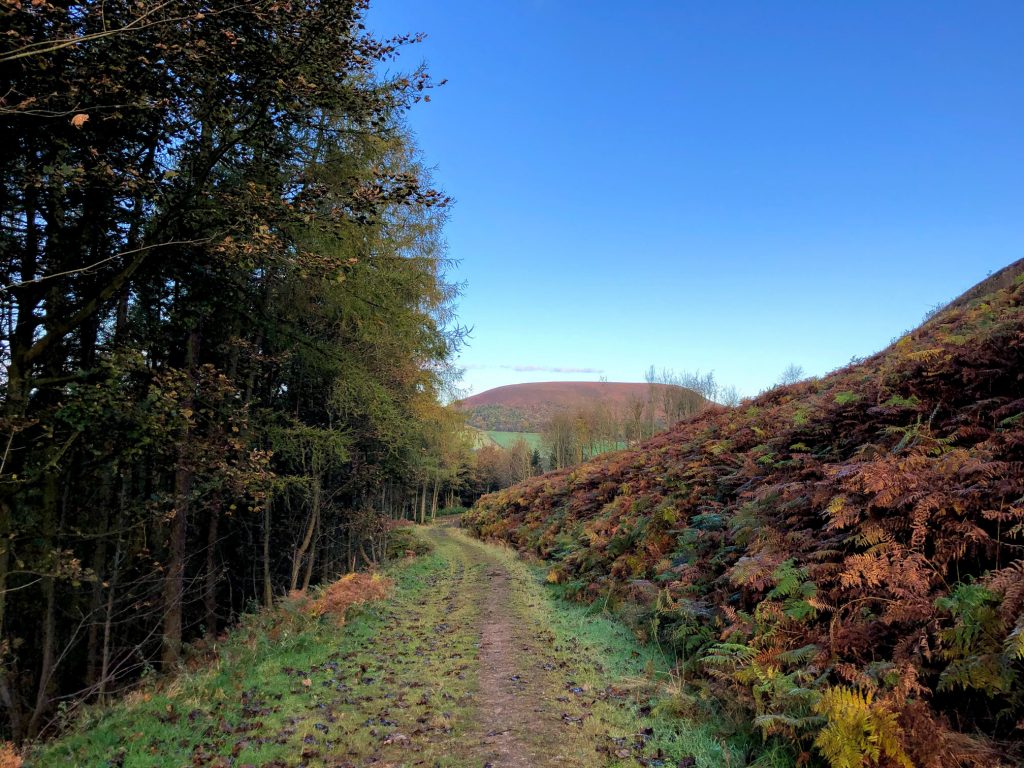
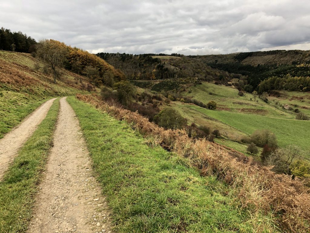
The track through Newgate Plantation with Easterside Hill (Bilsdale West Moor) in view directly ahead.
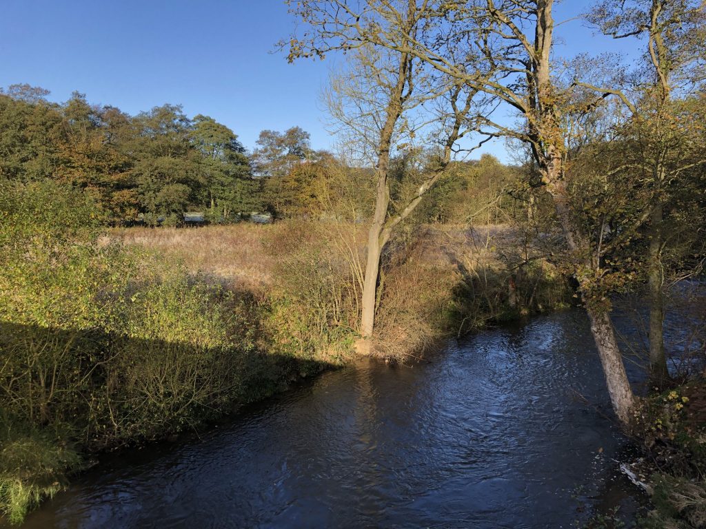
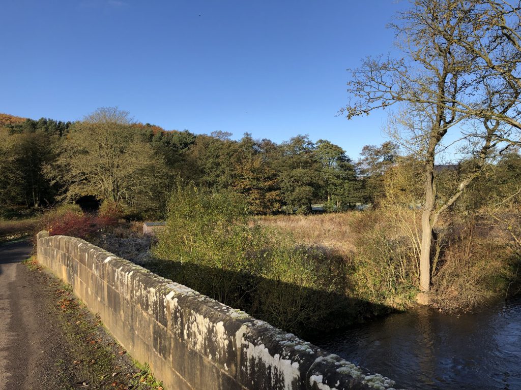
The River Rye at Shaken Bridge.
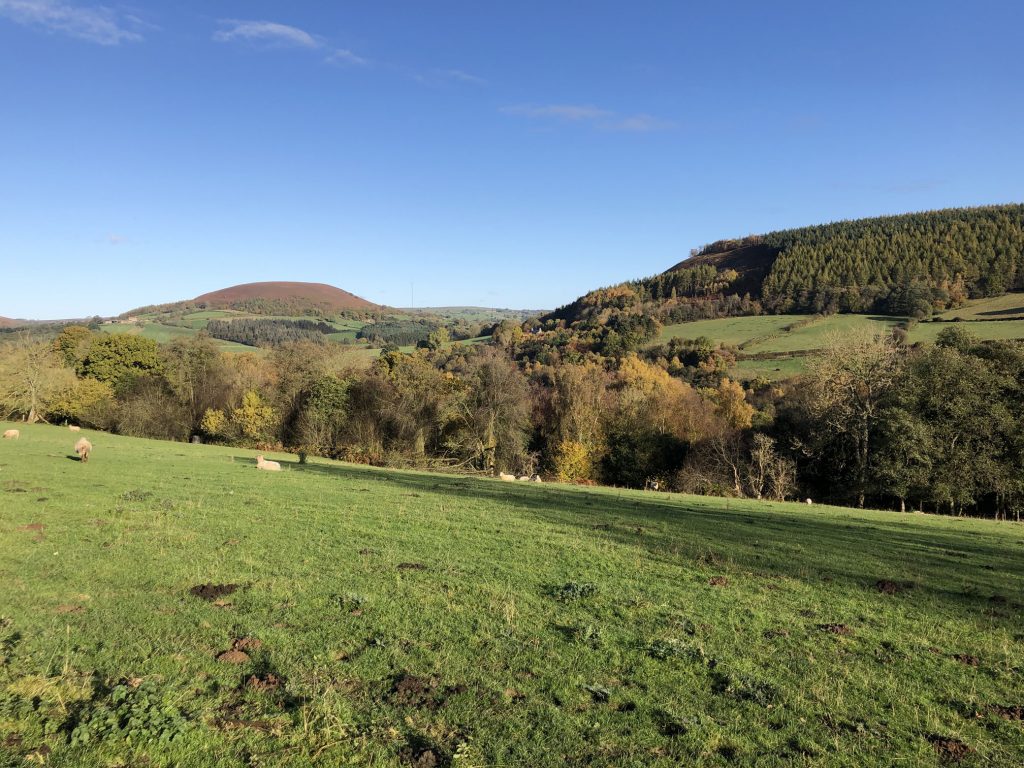
Looking north over Rye Dale towards Easterside Hill (far left) and the woodlands of Newgate Plantation (far right).
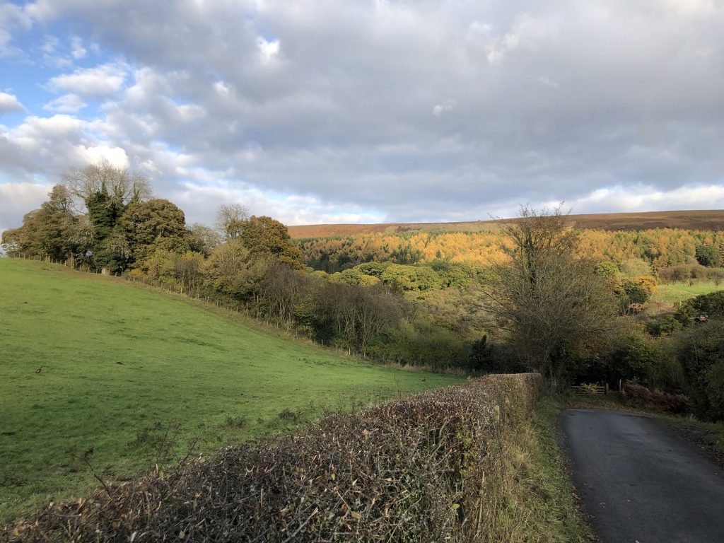
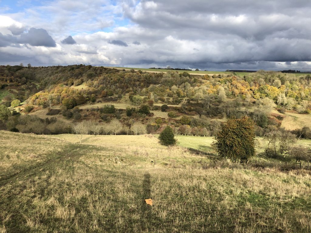
Rye Dale farmland below Newgate Plantation and High Pasture Wood.

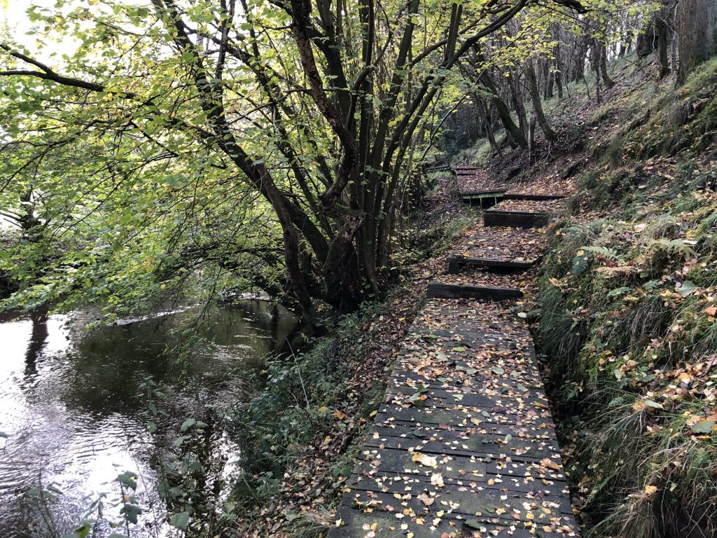
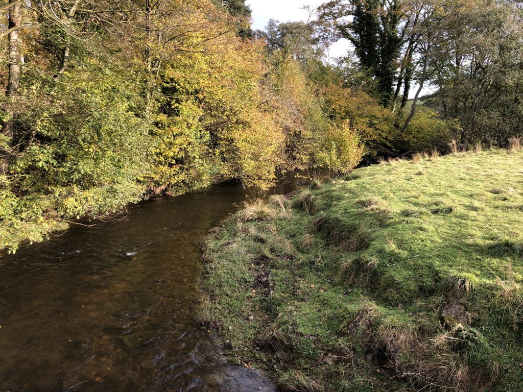
Leaf-covered wooden footpath by the side of the River Rye near Rievaulx.
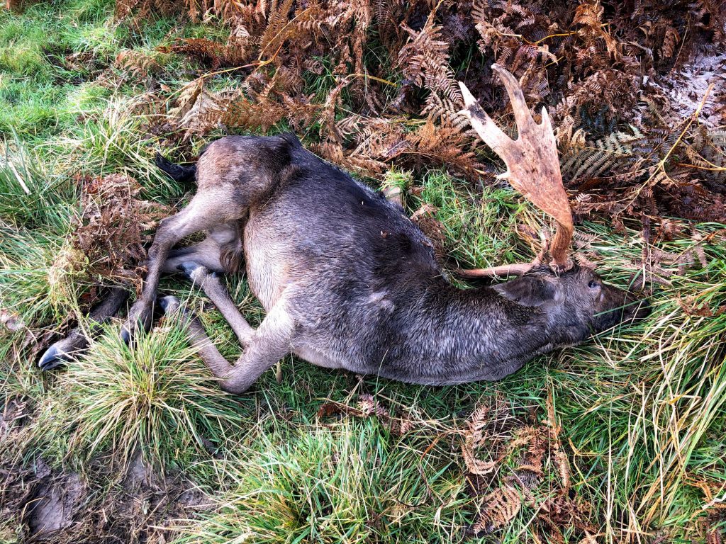
Sad sighting of a deer which has fairly recently died.
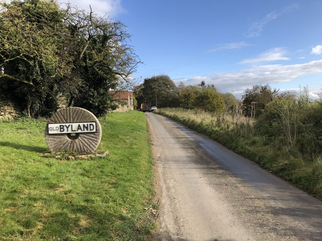
Approaching the village of Old Byland from the south-west.
Heading down to Murton Wood, situated in a small valley north-west of Old Byland.
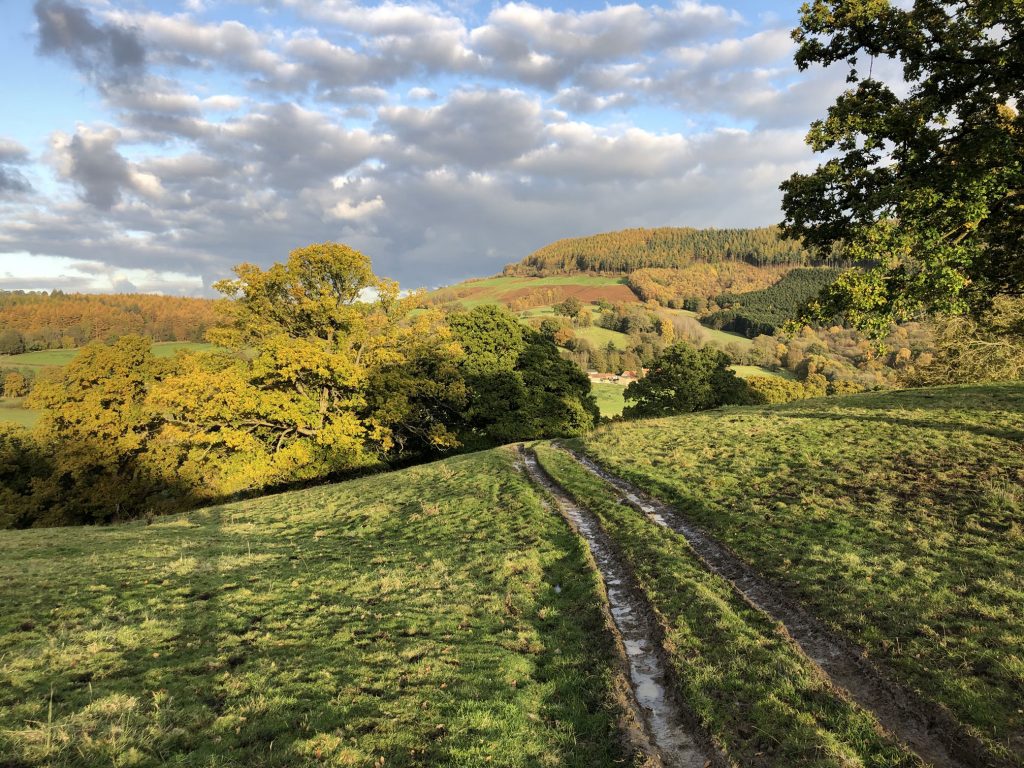
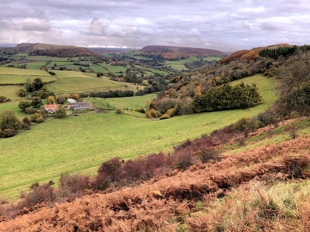
The view north-east over farmland at the foot of Murton Bank. In the distance is the village of Hawnby, backed by Hawnby Hill and Easterside Hill on the left and right respectively.
The view north-west from Peak Scar Top towards Gower Dale.
The River Rye at Dalicar Bridge west of Hawnby.
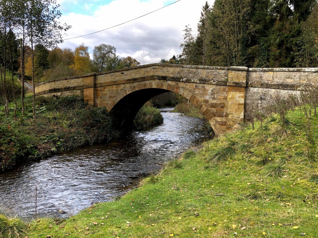
Church Bridge over the River Rye west of Hawnby.
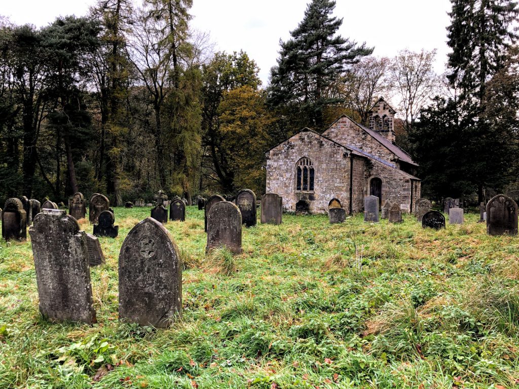
Church of All Saints, Hawnby.
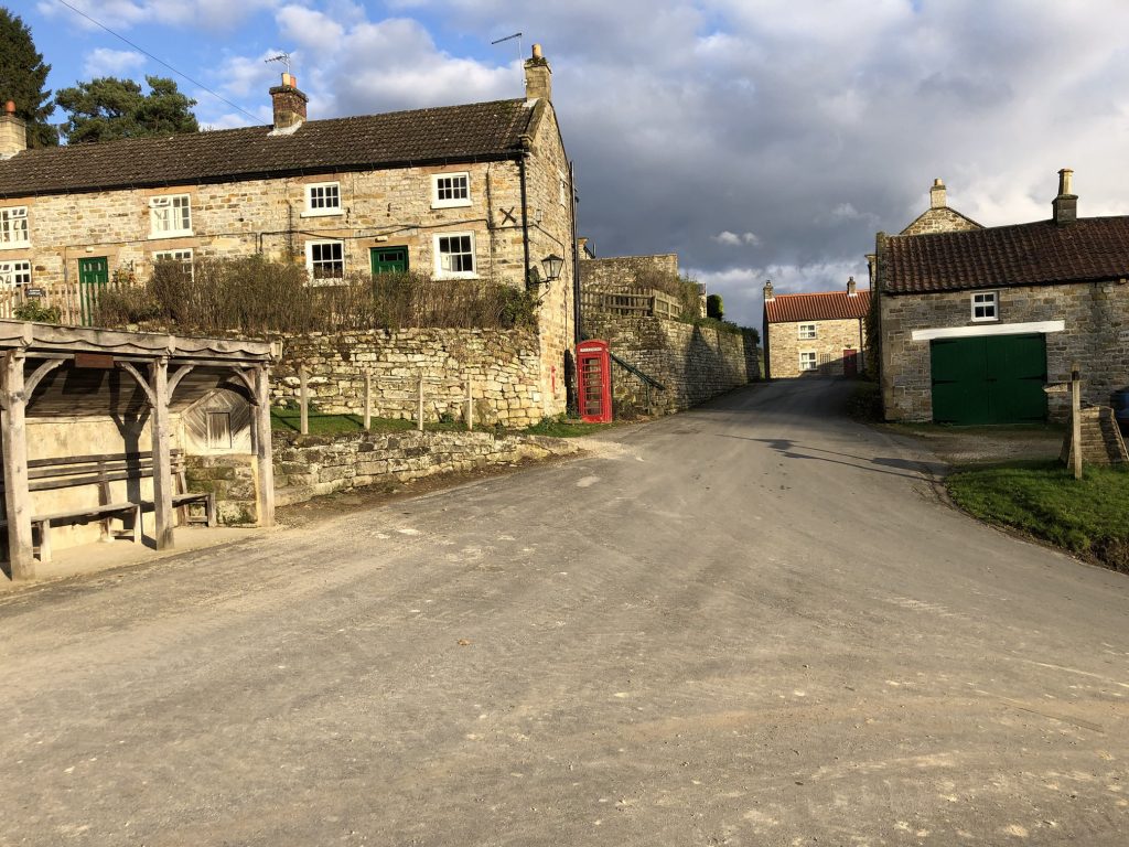
The village of Hawnby.
The beautiful and diverse range of autumnal colours typical of the North York Moors in October.