South from Robin Hood’s Bay all the way to Ravenscar via the Cleveland Way coastal path. Back to Robin Hood’s Bay using the straightforward Cinder Track dismantled railway line. A 9-mile walk along the Yorkshire Coast.
Recommended Ordnance Survey Map
The best map to use on this walk is the Ordnance Survey map of the North York Moors Eastern Area, reference OS Explorer OL27, scale 1:25,000. It clearly displays footpaths, rights of way, open access land and vegetation on the ground, making it ideal for walking, running and hiking. The map can be purchased from Amazon in either a standard, paper version or a weatherproof, laminated version, as shown below.
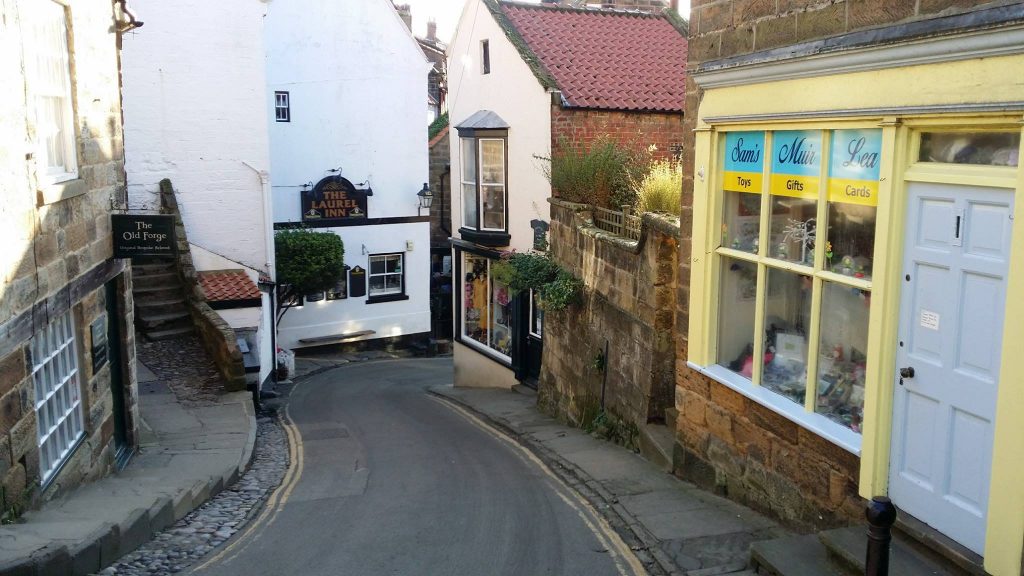
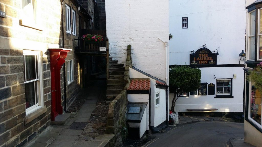
New Road, Robin Hood’s Bay.
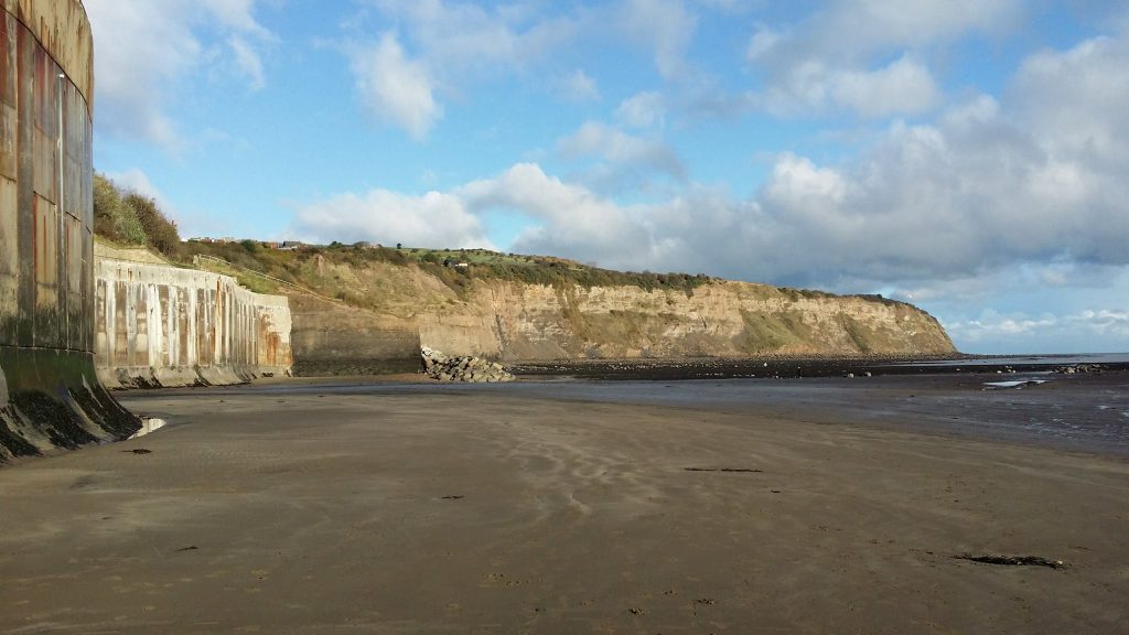
Robin Hood’s Bay beach and, on the left, the vertical concrete sea defence wall.
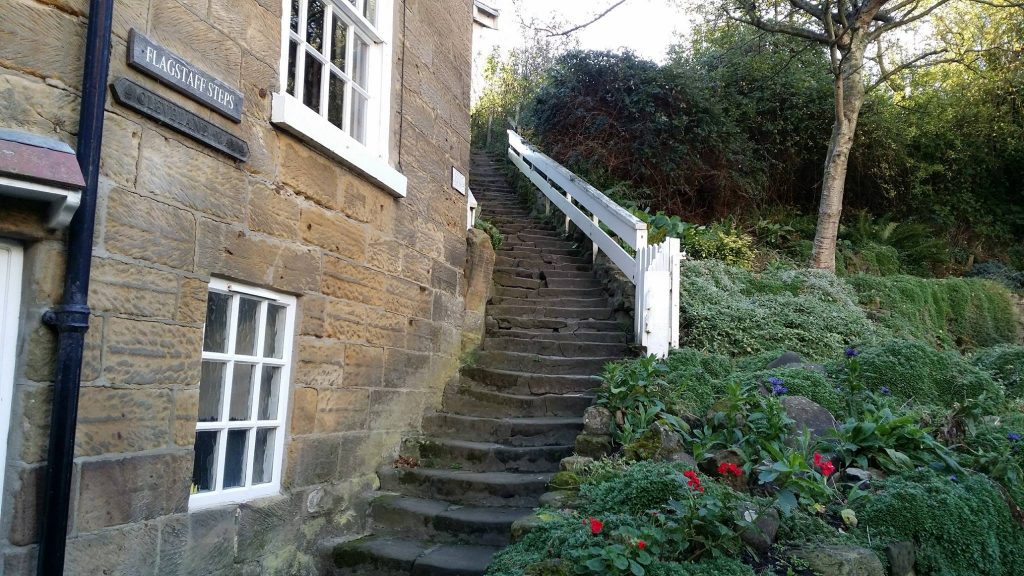
Flagstaff Steps, Robin Hood’s Bay, and the route south to Ravenscar via the Cleveland Way.
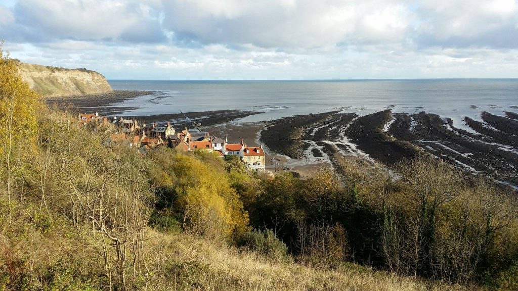
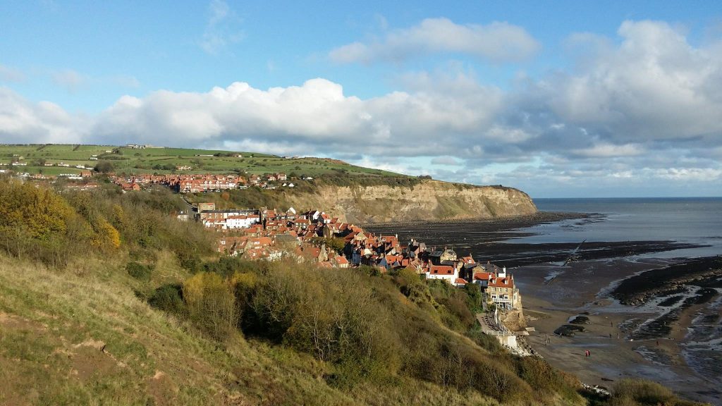
Looking down upon Robin Hood’s Bay from the Cleveland Way.
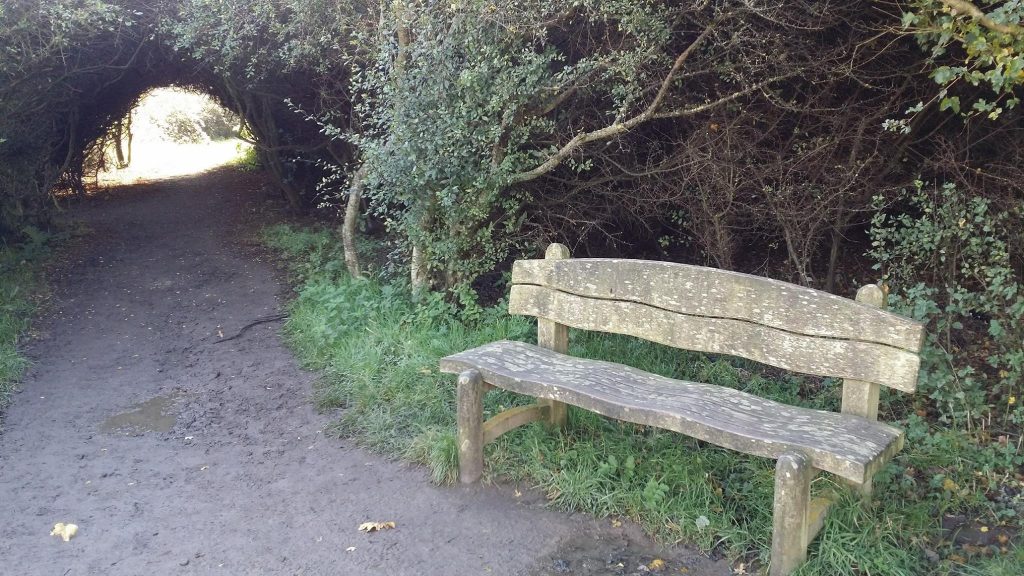
The tunnel through the bushes on the Cleveland Way.
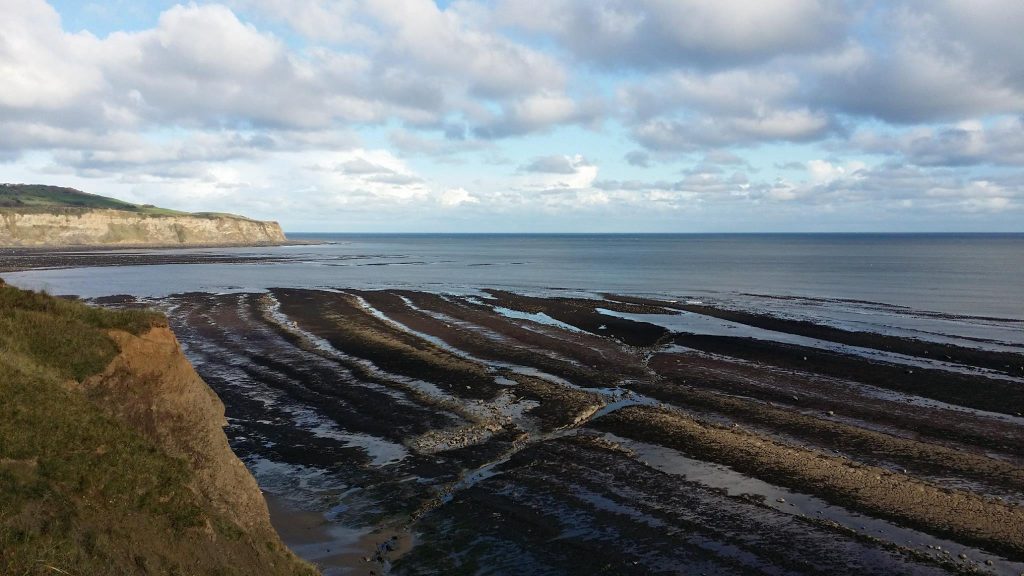
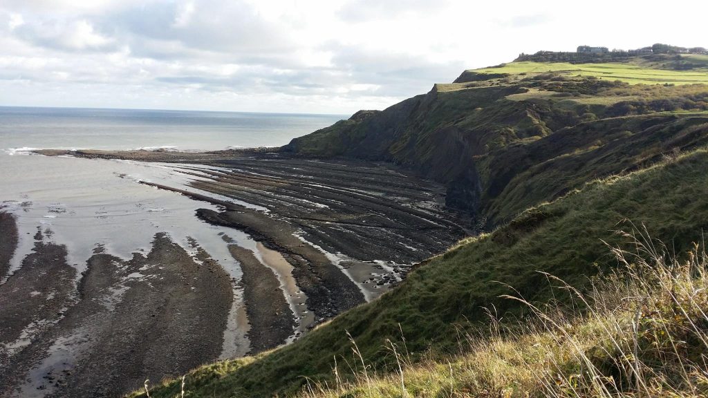
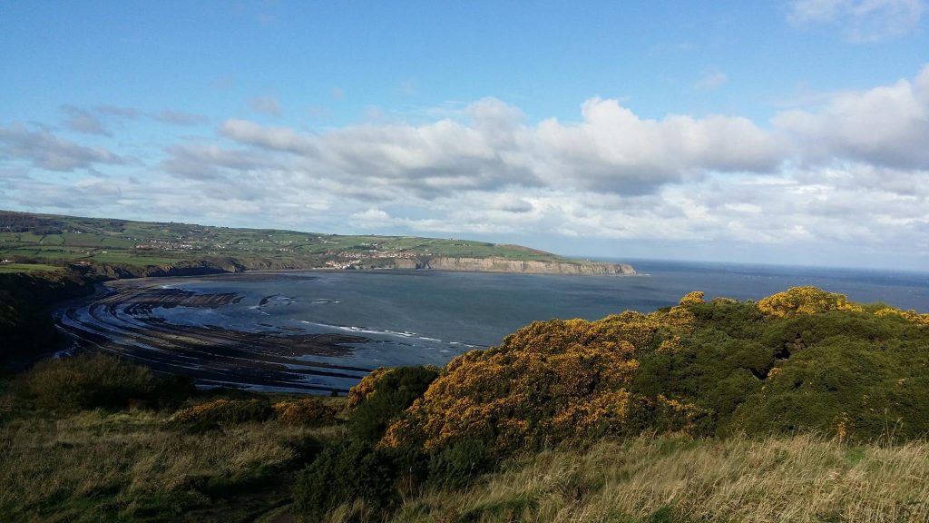
Low tide reveals large areas of wave-cut platform at the foot of the Robin Hood’s Bay cliffs.
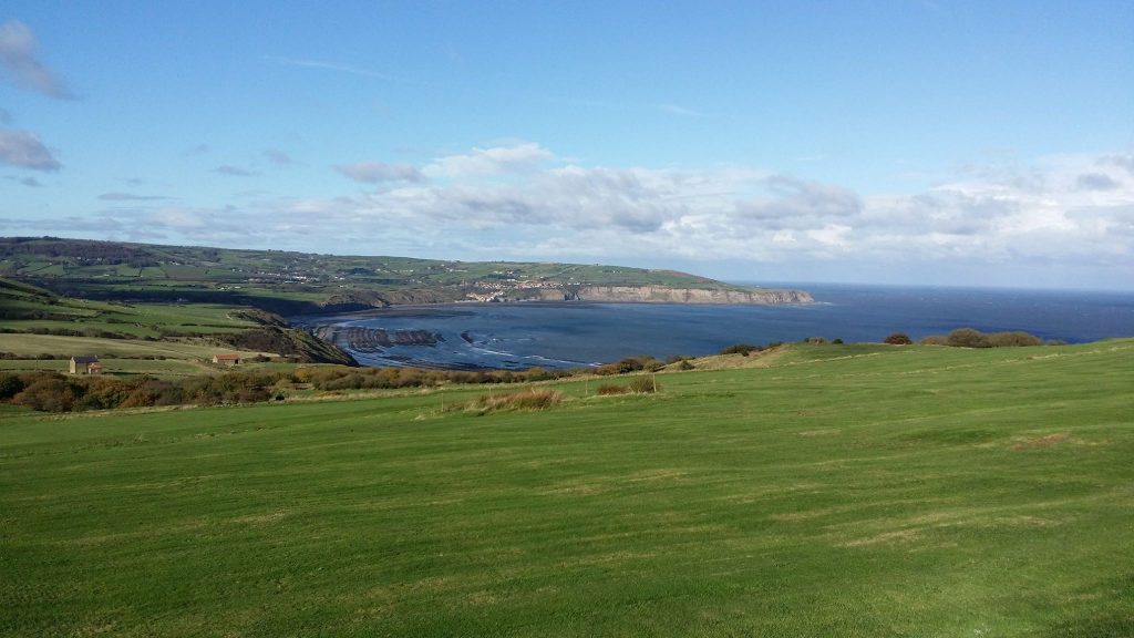
The view north towards Robin Hood’s Bay from the Ravenscar golf course.
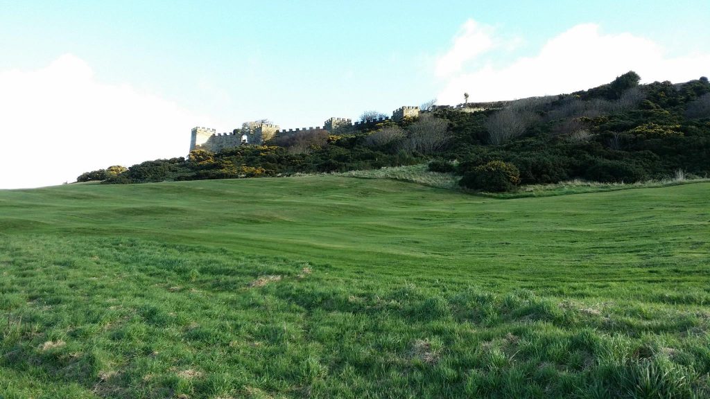
Looking up at the castellated wall around the Ravenscar Hotel gardens.
Peak Alum Works just north of Ravenscar.
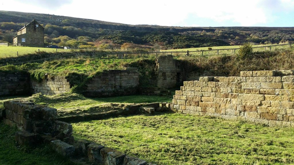
Stoupe Brow, below which shale was once quarried and burned as part of the process to extract alum.