South-west out of Newbiggin-on-Lune to the bottom of the Bowderdale valley, passing Weasdale on the way. South along the bridleway through the valley all the way to Cautley Spout and south-west uphill to The Calf. Then it’s north following the Dales High Way across the tops of the hills to Bowderdale, and north-east via Wath to the starting point. A 15-mile walk in the Yorkshire Dales.

Recommended Ordnance Survey Map
The best map to use on this walk is the Ordnance Survey map of the Howgill Fells & Upper Eden Valley, reference OS Explorer OL19, scale 1:25,000. It clearly displays footpaths, rights of way, open access land and vegetation on the ground, making it ideal for walking, running and hiking. The map can be purchased from Amazon in either a standard, paper version or a weatherproof, laminated version, as shown below.
Standard Version
Cow Bank in Weasdale.
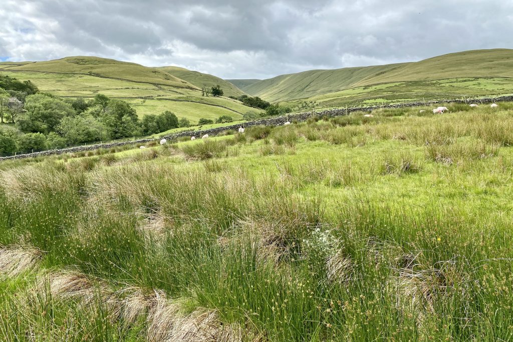
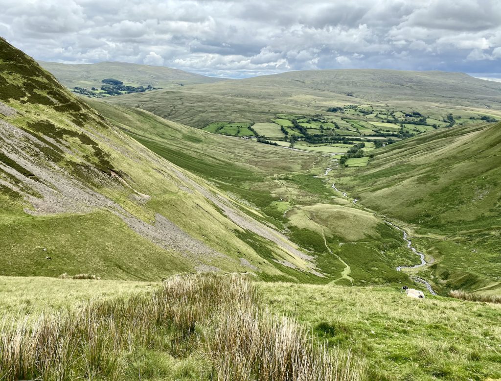
The view south from Cow Bank straight down the Weasdale valley. Randygill Top can be seen at the head of Weasdale, with the hills of Hooksey on the right of the valley and West Grain on the left.
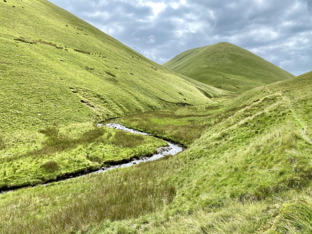
Looking south down the beautiful valley of Bowderdale. The main hills on the left are Hooksey, Randygill Top and Kensgriff, with Yarlside visible in the far centre. West Fell and Hazelgill Knott enclose the valley on the right.
The four-mile-long bridleway through Bowderdale.
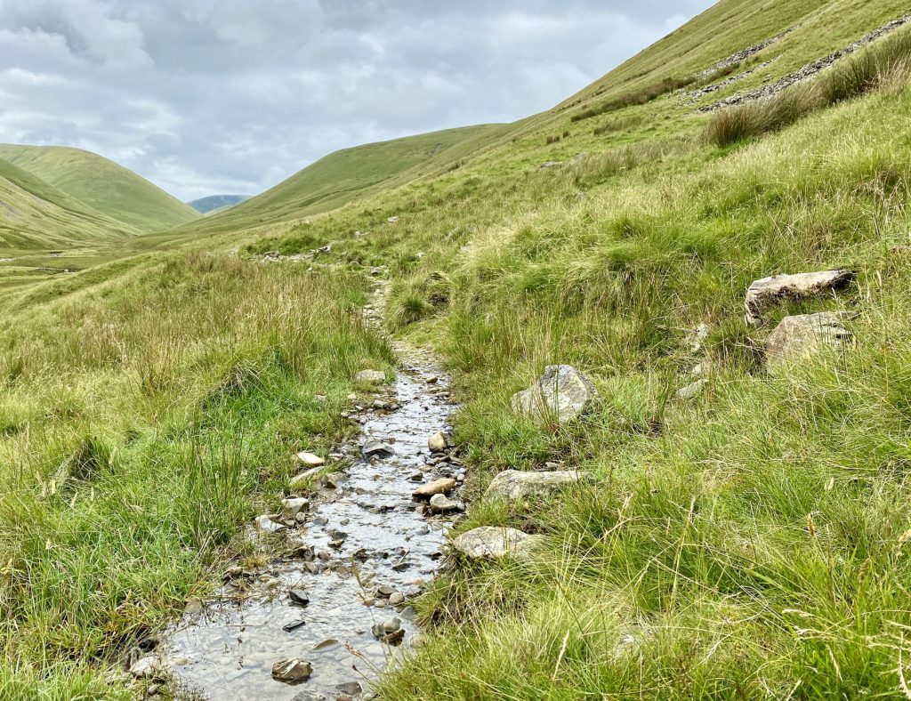
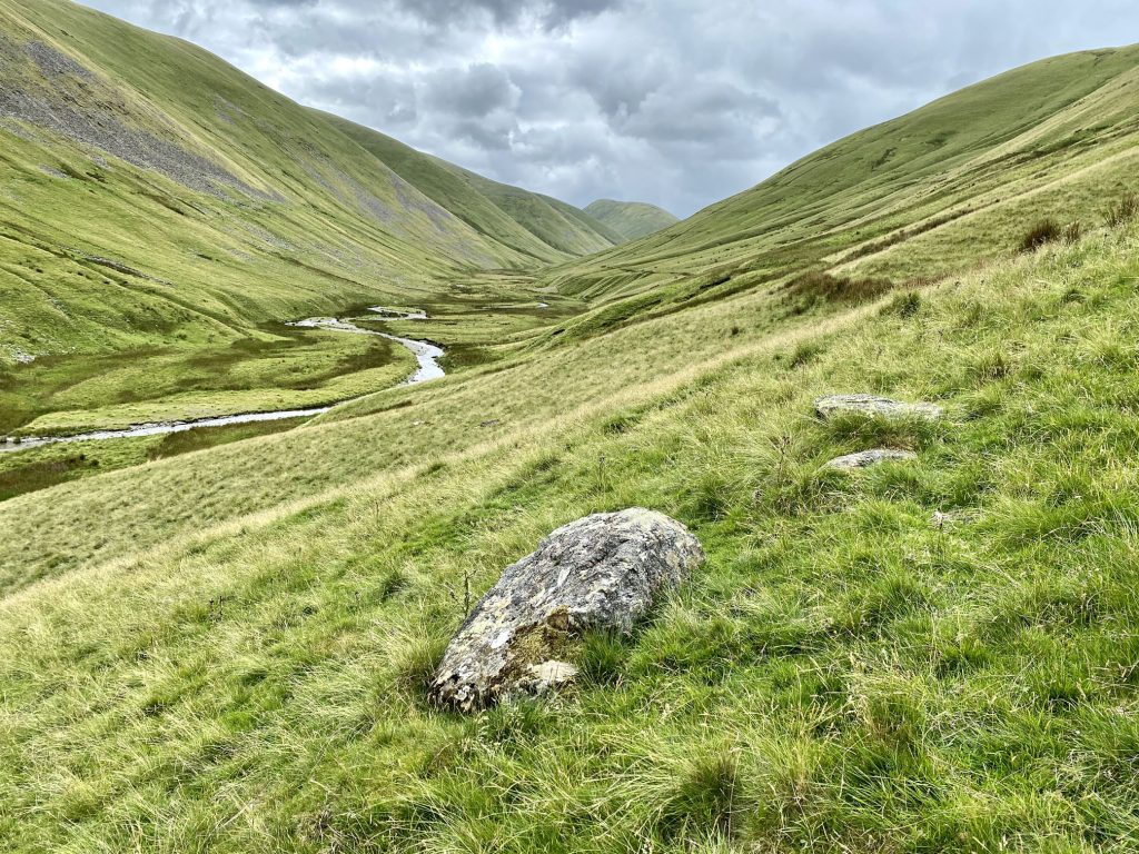
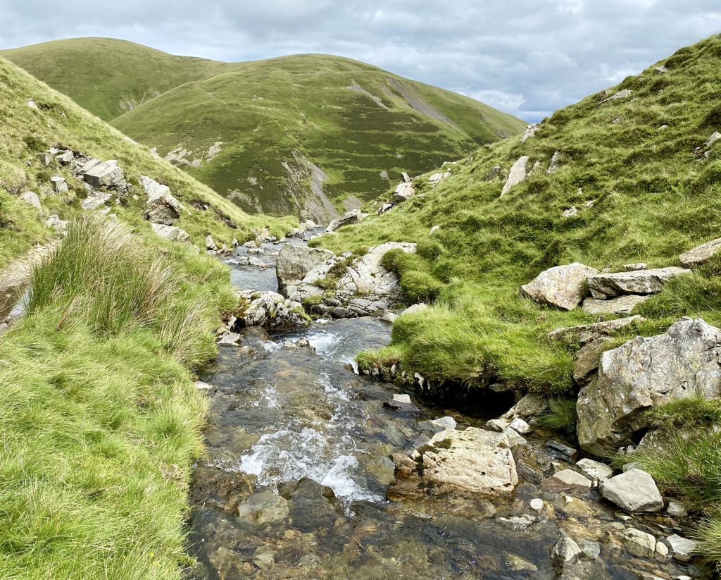
Bowderdale Beck meanders its way through Bowderdale.
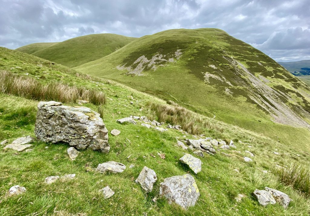
From right to left, the summits of Yarlside, Kensgriff and Randygill Top, viewed from the hillside close to Cautley Spout.
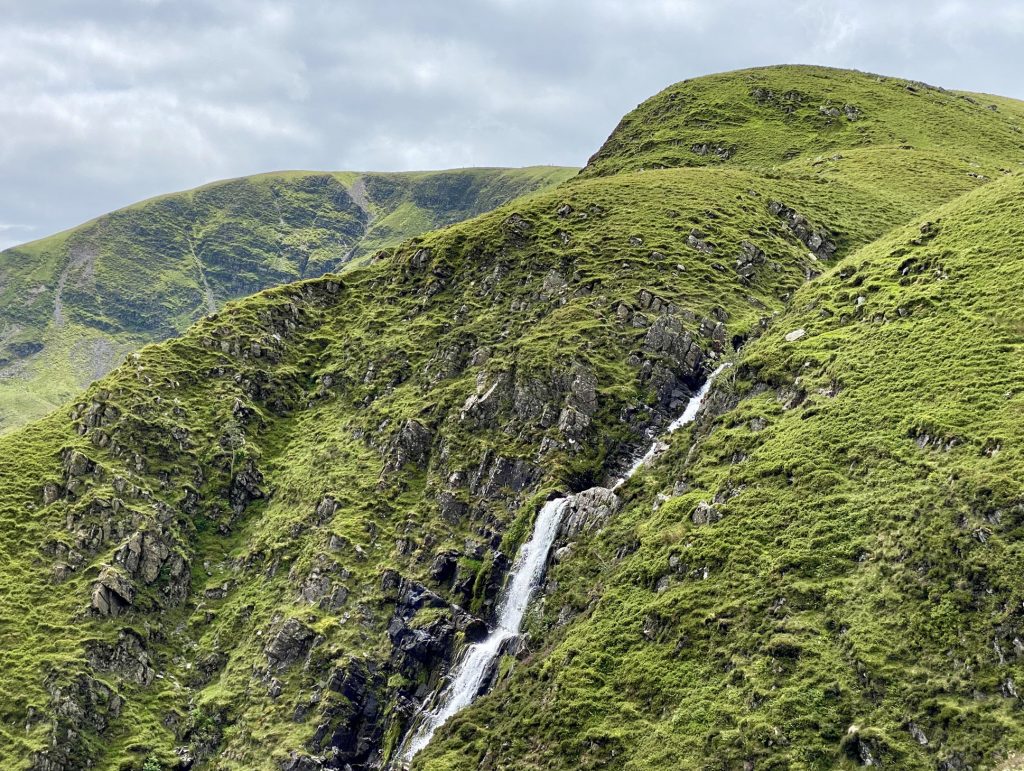
Cautley Spout and the magnificent Cautley Crag.
The view south-east from Cautley Spout, with Cautley Holme Beck flowing through the valley and the mountains of Baugh Fell (right) and Swarth Fell (left) in the distance.
Cautley Spout.
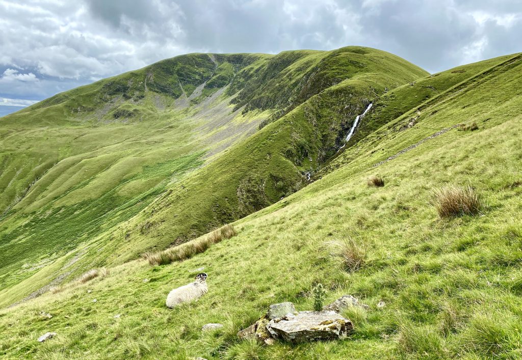
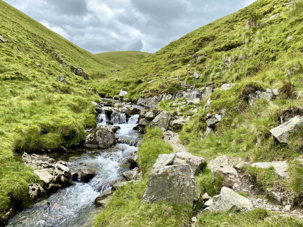
Looking back towards Yarlside as I climb uphill alongside Red Gill Beck on the way to The Calf.
After Red Gill Beck the path follows Force Gill Beck to the bridleway between Bram Rigg Top and The Calf.
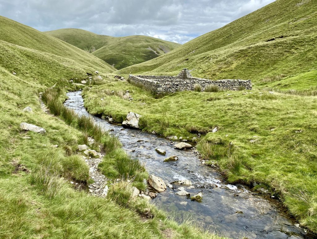
Sheepfold near the confluence of Red Gill Beck and Force Gill Beck.
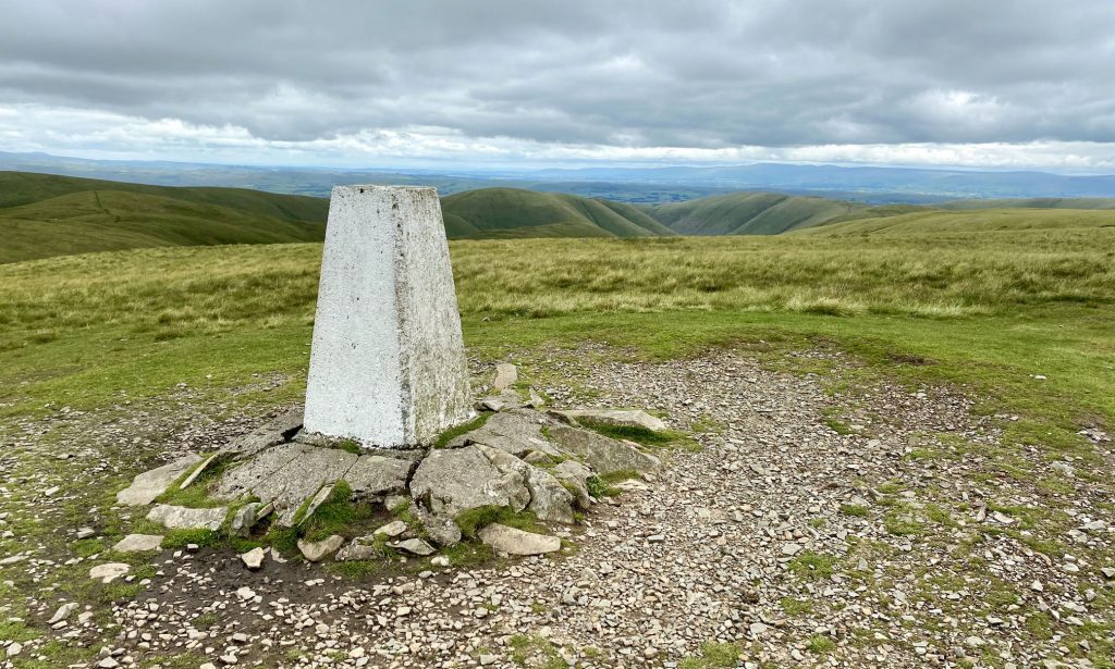
Triangulation pillar on The Calf summit, height 676 metres (2218 feet).
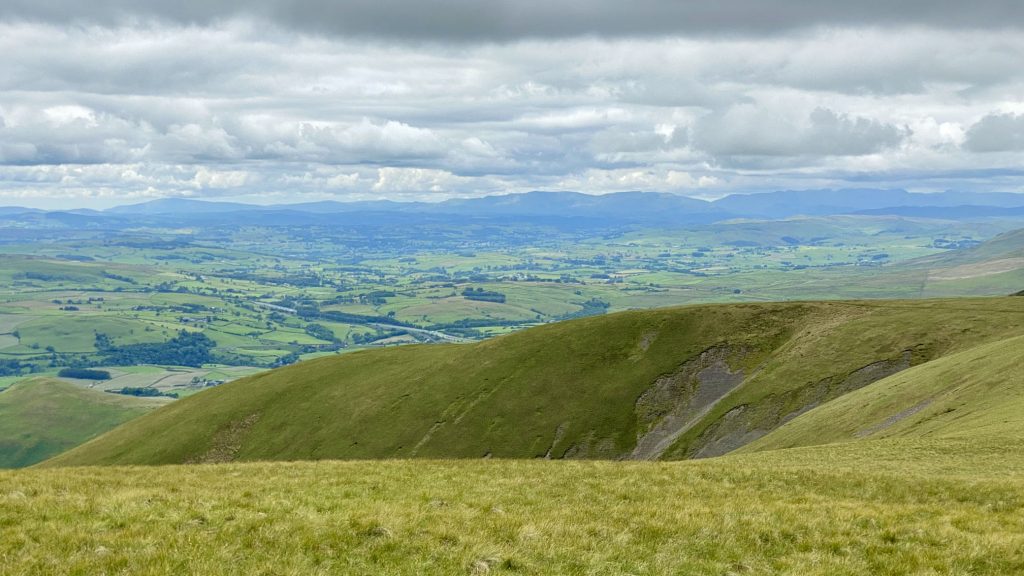
Morcambe Bay visible to the south-west from the summit of The Calf. The body of water between the bay and the viewpoint is Killington Reservoir, by the side of the M6 motorway.

The view north-west from The Calf towards the mountain ranges of the Lake District.
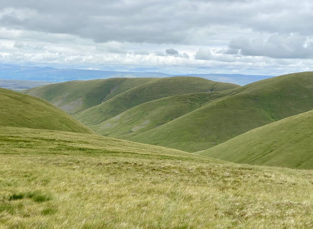
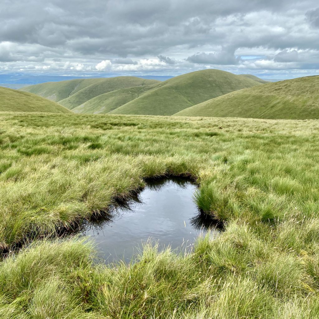
The beautiful rounded rolling hills and interlocking spurs of the Howgills, as viewed from the Dales High Way footpath.
The Dales High Way back to Bowderdale and Newbiggin-on-Lune.