North-east from Storiths across Hazlewood Moor to Brown Bank, then north-west to Lord’s Seat. South-west via Simon’s Seat to reach the woodland on Flask Brow and east up to Long Crag on Barden Fell. Finally south into Laund Pasture Plantation and through the Valley of Desolation and Posforth Gill back to the starting point. A 10-mile walk in the Yorkshire Dales.
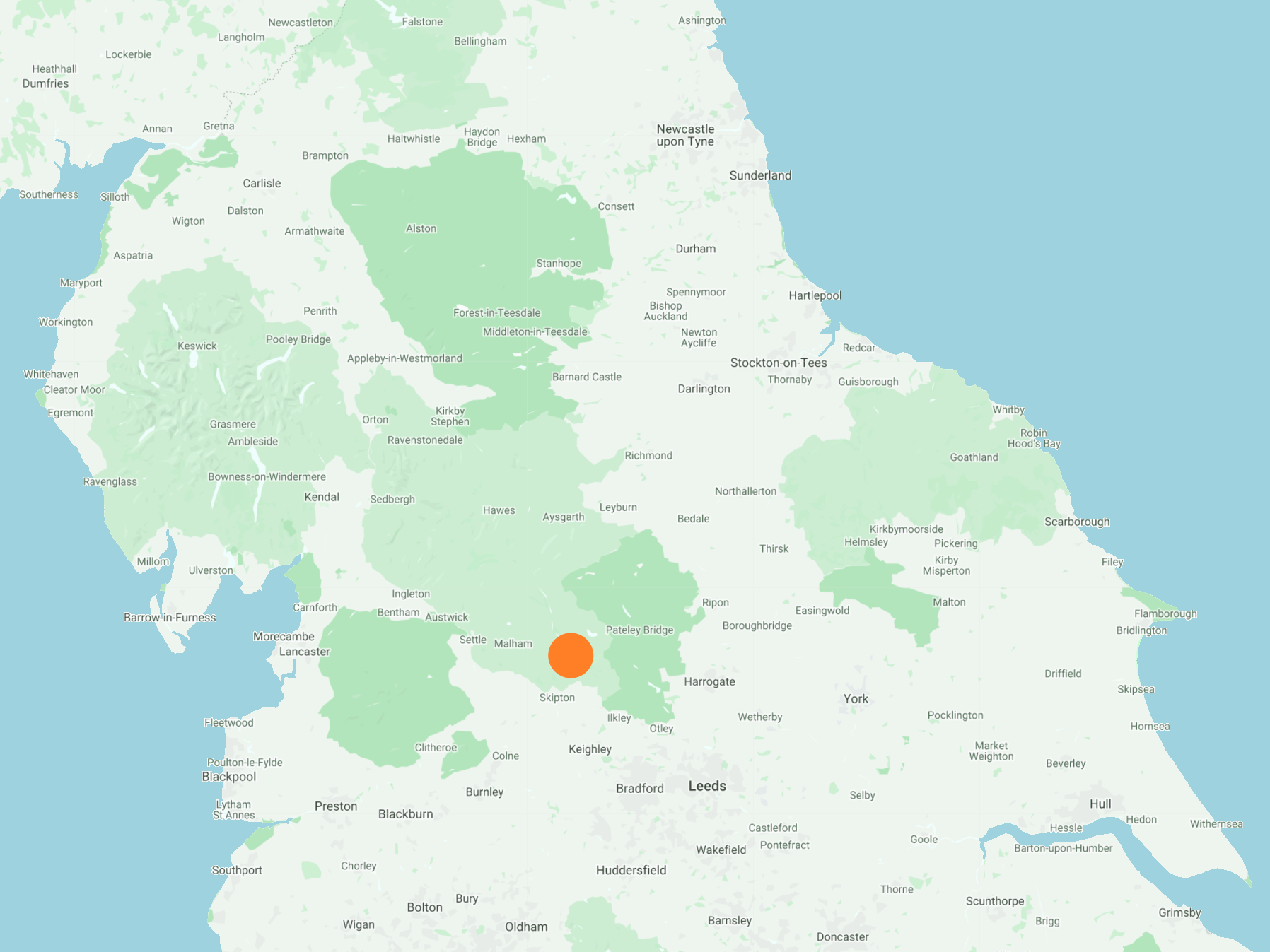
Recommended Ordnance Survey Map
The best map to use on this walk is the Ordnance Survey map of the Yorkshire Dales Southern & Western Area, reference OS Explorer OL2, scale 1:25,000. It clearly displays footpaths, rights of way, open access land and vegetation on the ground, making it ideal for walking, running and hiking. The map can be purchased from Amazon in either a standard, paper version or a weatherproof, laminated version, as shown below.
Standard Version
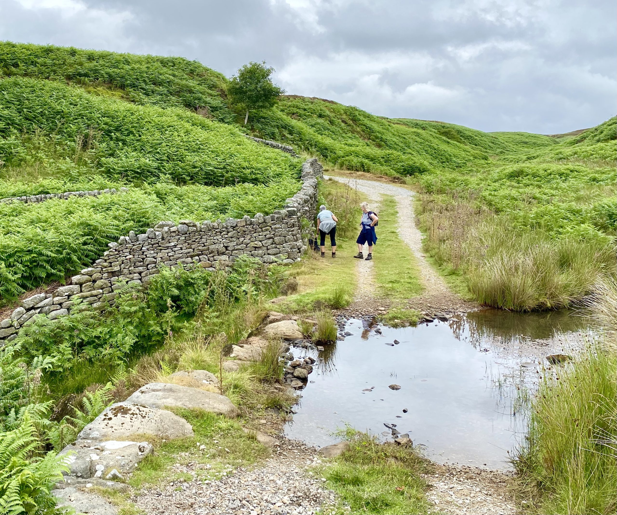
Ford on Pickles Gill Beck to the east of Brown Hill. The beck flows in a south-westerly direction and empties into the River Wharfe on Bolton Abbey Estate.
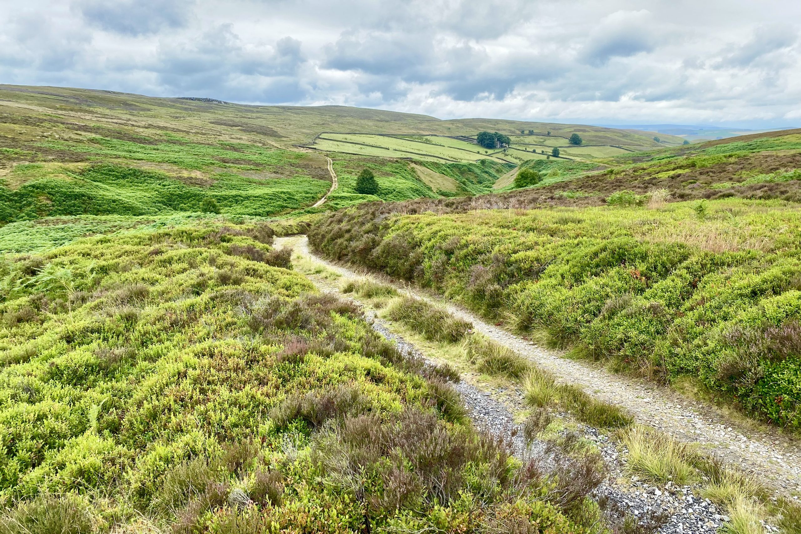
The view south-west towards Pickles Gill from Brown Hill.
Shooting lodge on Hazlewood Moor.
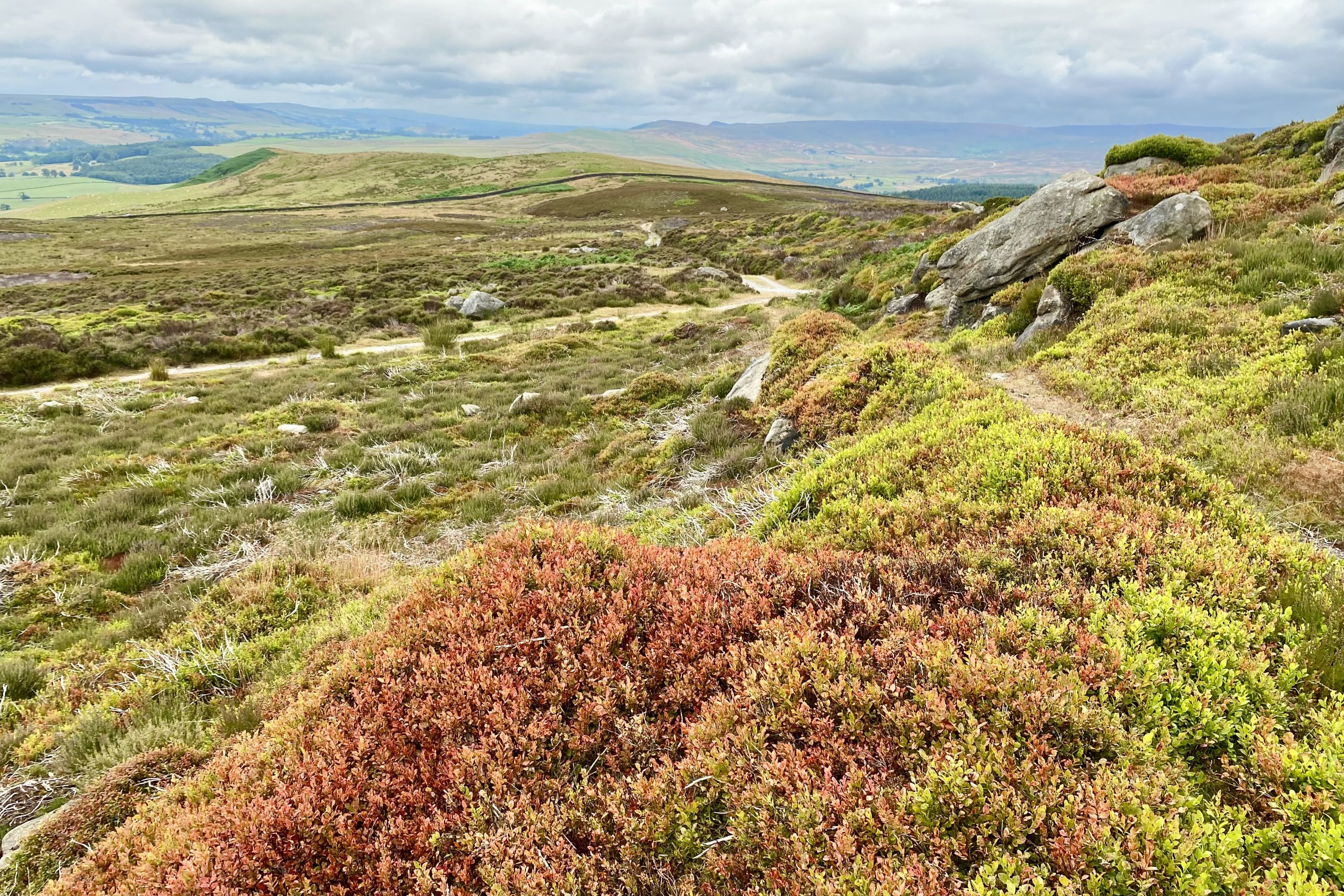
Lovely views of Wharfedale from Hazlewood Moor.
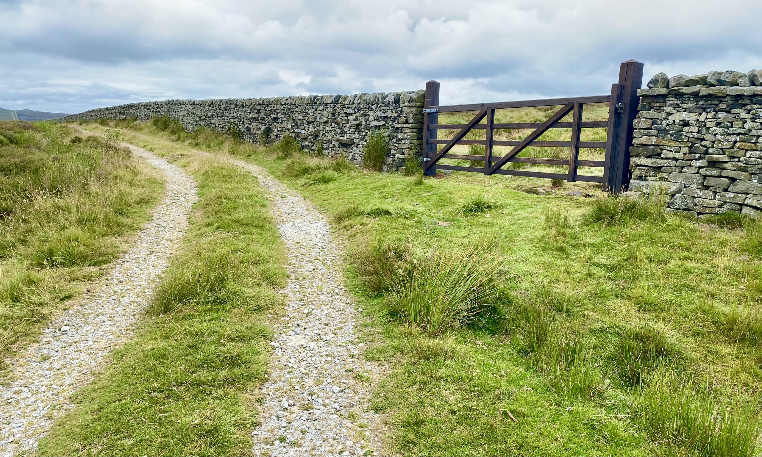
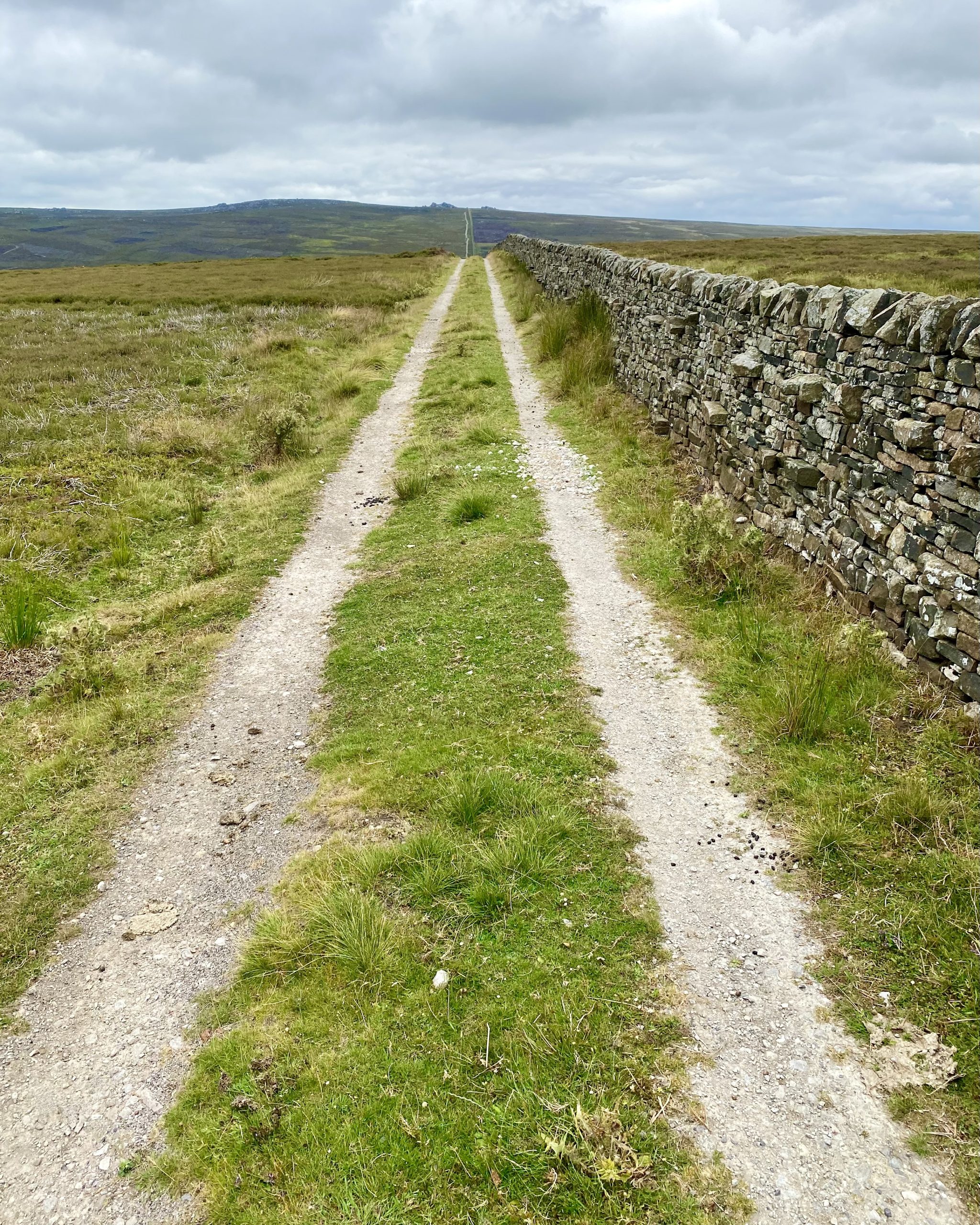
The start of the north-westerly path by the side of the dry stone wall straight to Lord’s Seat.
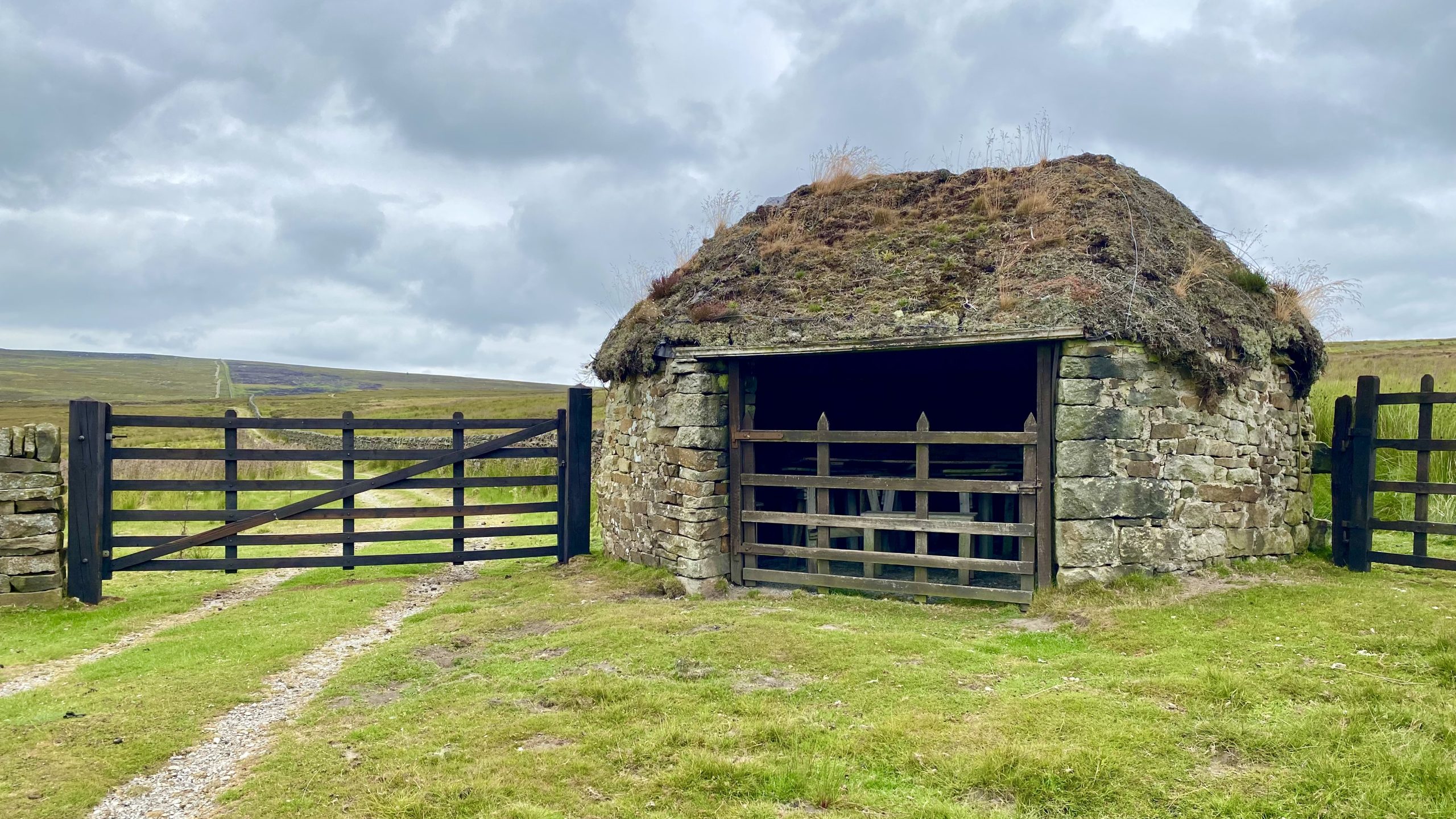
Shooting lodge near the crossing of White Wham Beck.
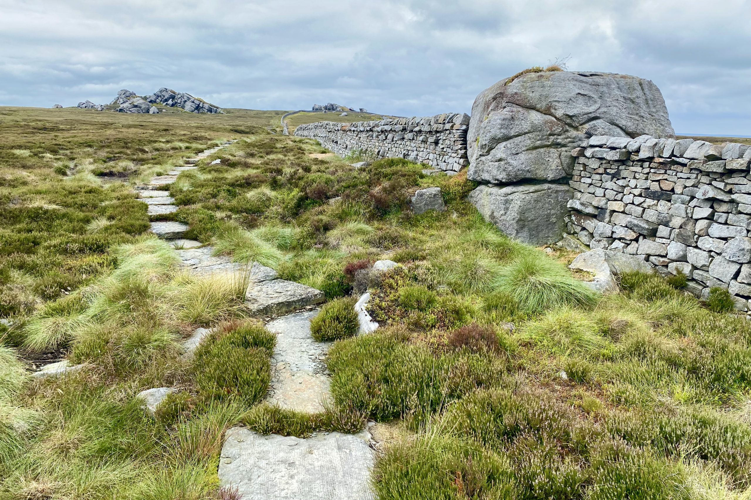
The approach to Lord’s Seat on the flagged path east of Hen Stones.
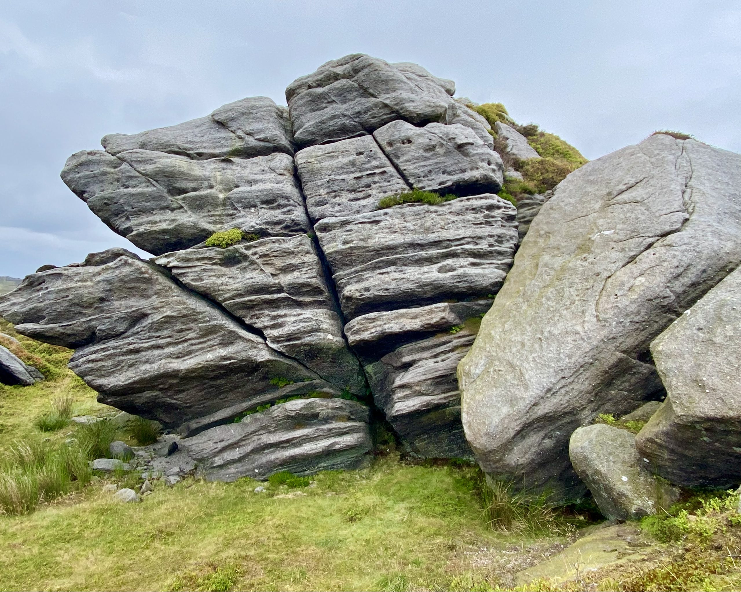
Lord’s Seat, a fascinating collection of gritstone boulders on the northern periphery of Barden Fell.

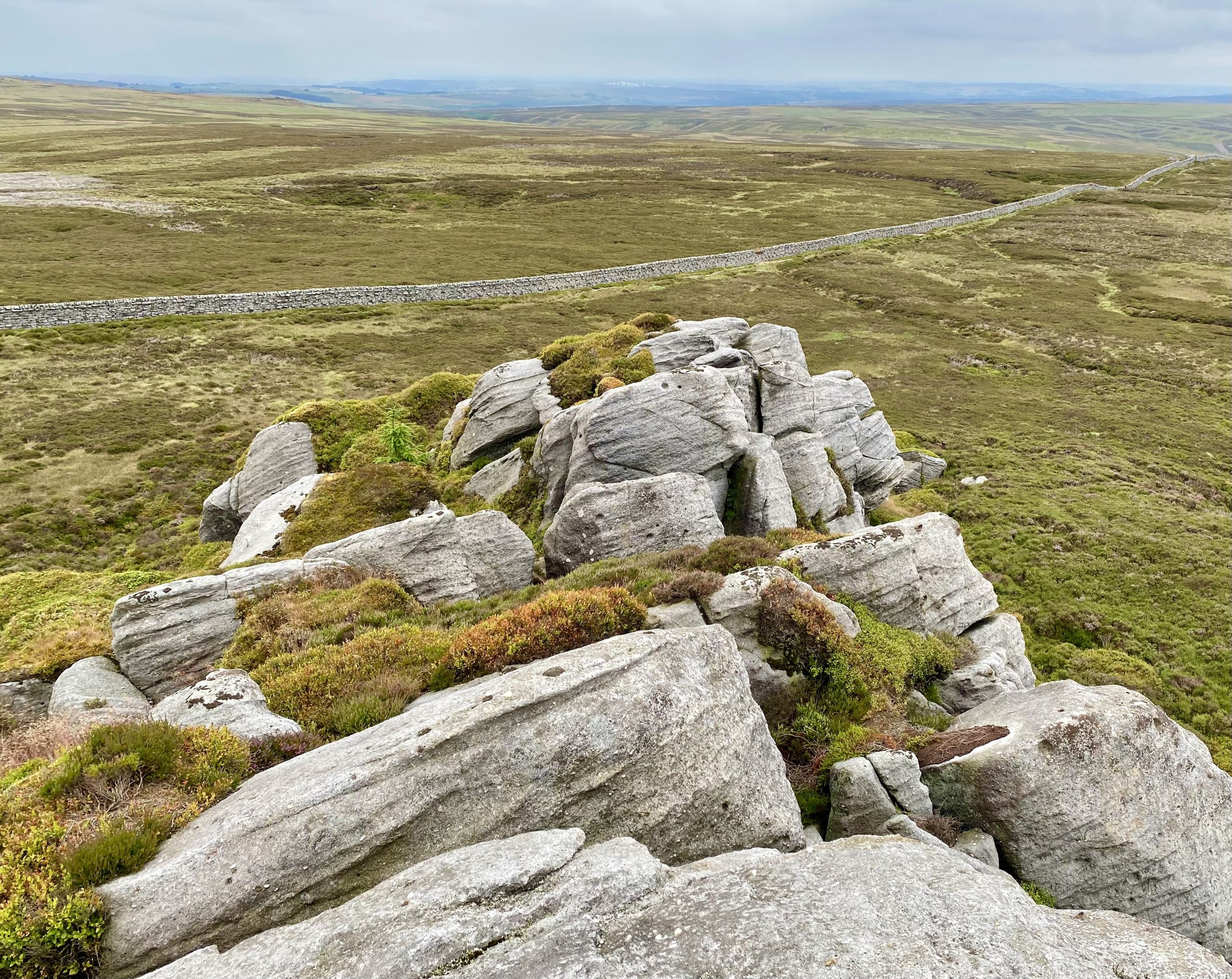

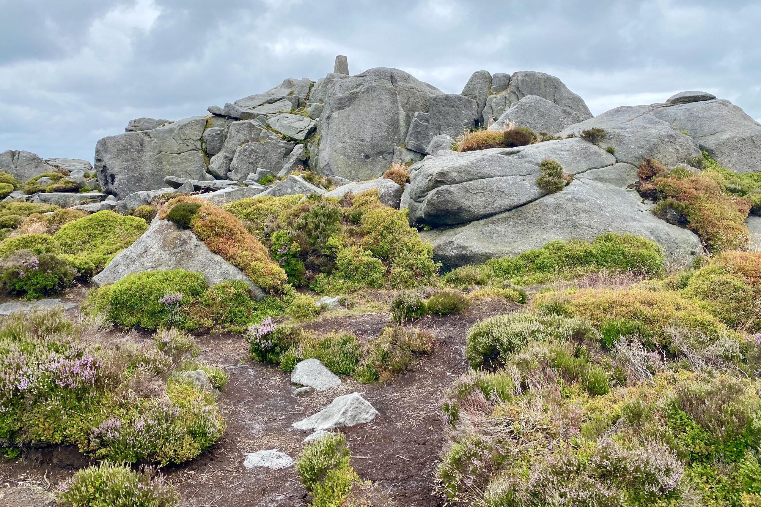
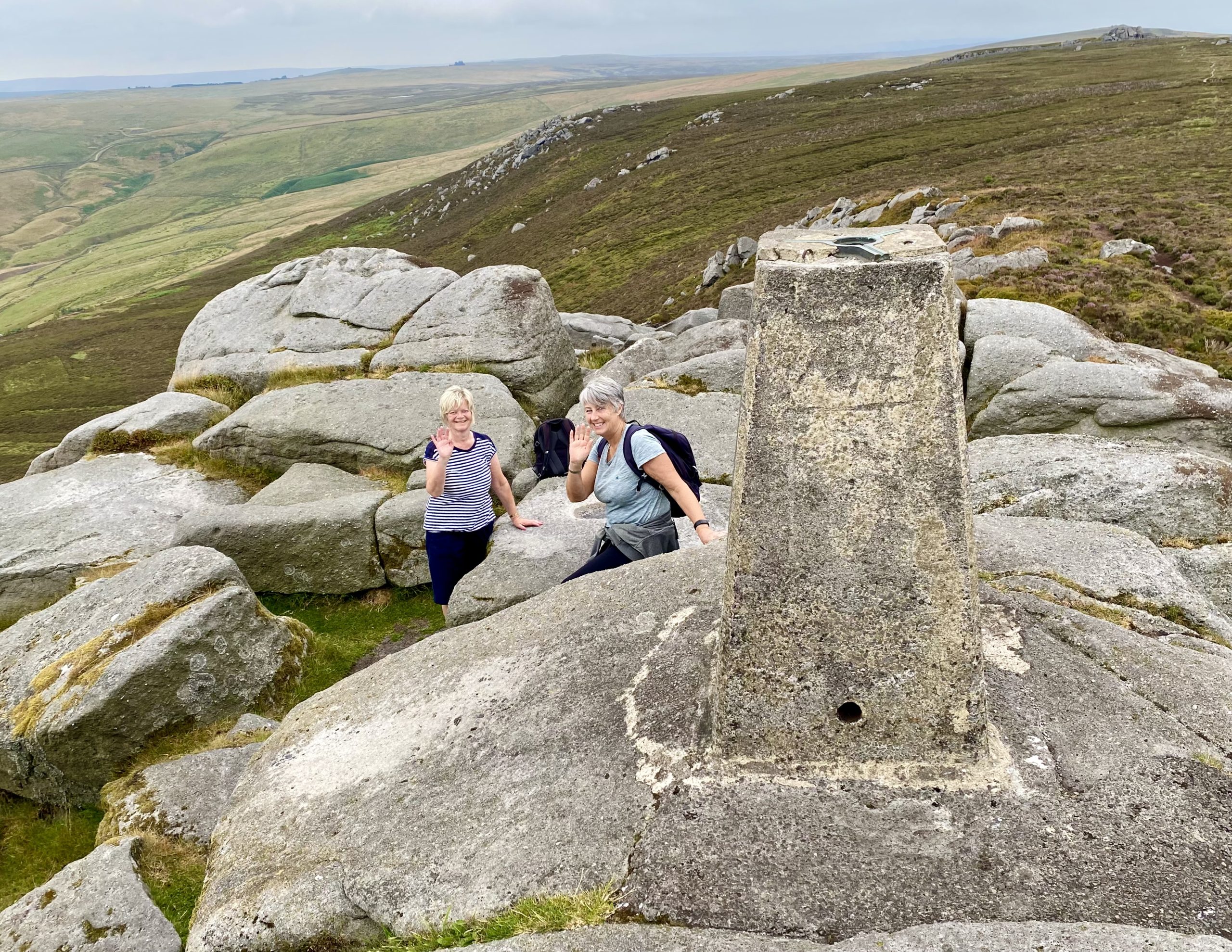
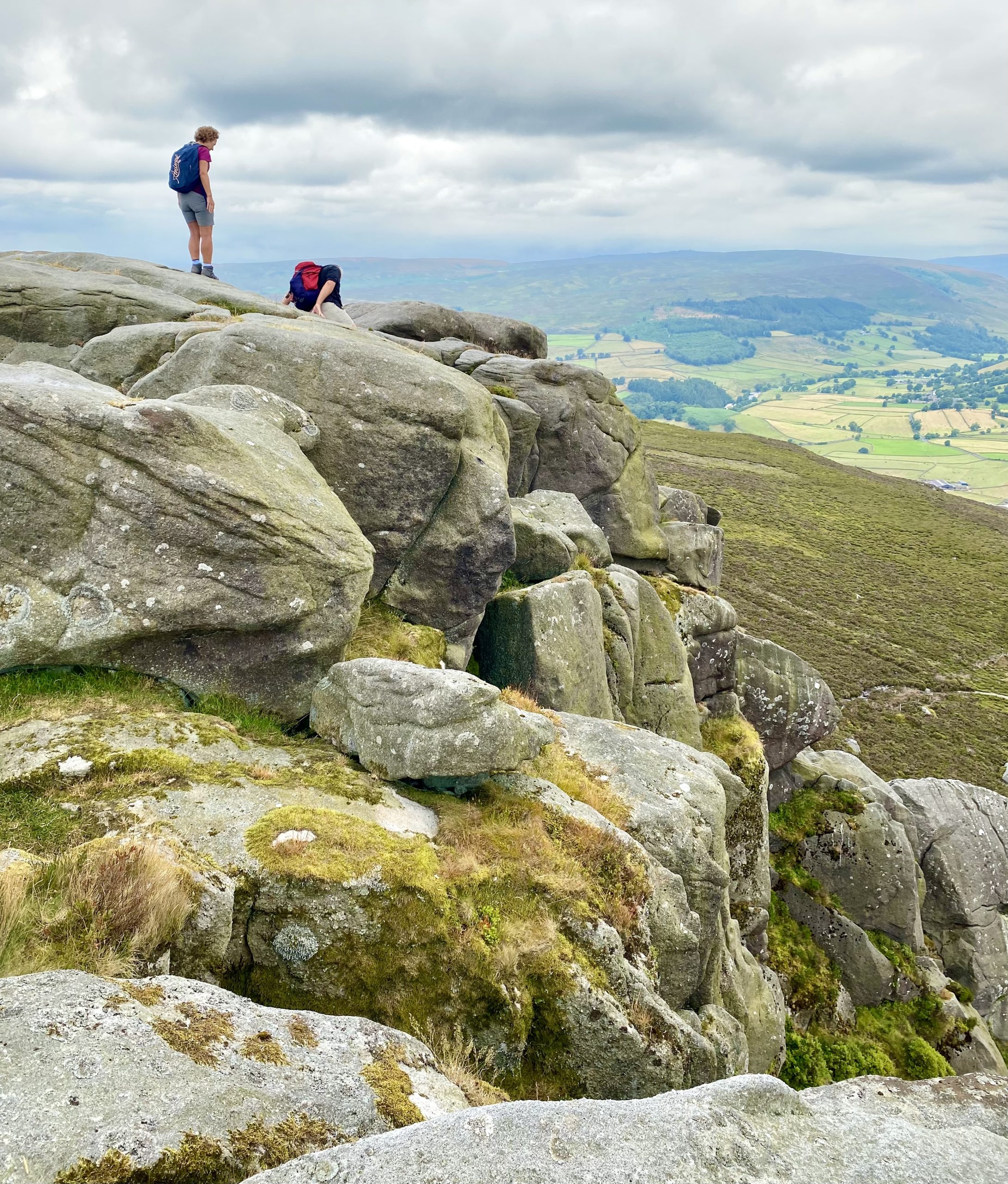
Simon’s Seat, height 485 metres (1591 feet), a prominent outcrop of millstone grit with fantastic views of Wharfedale and beyond.
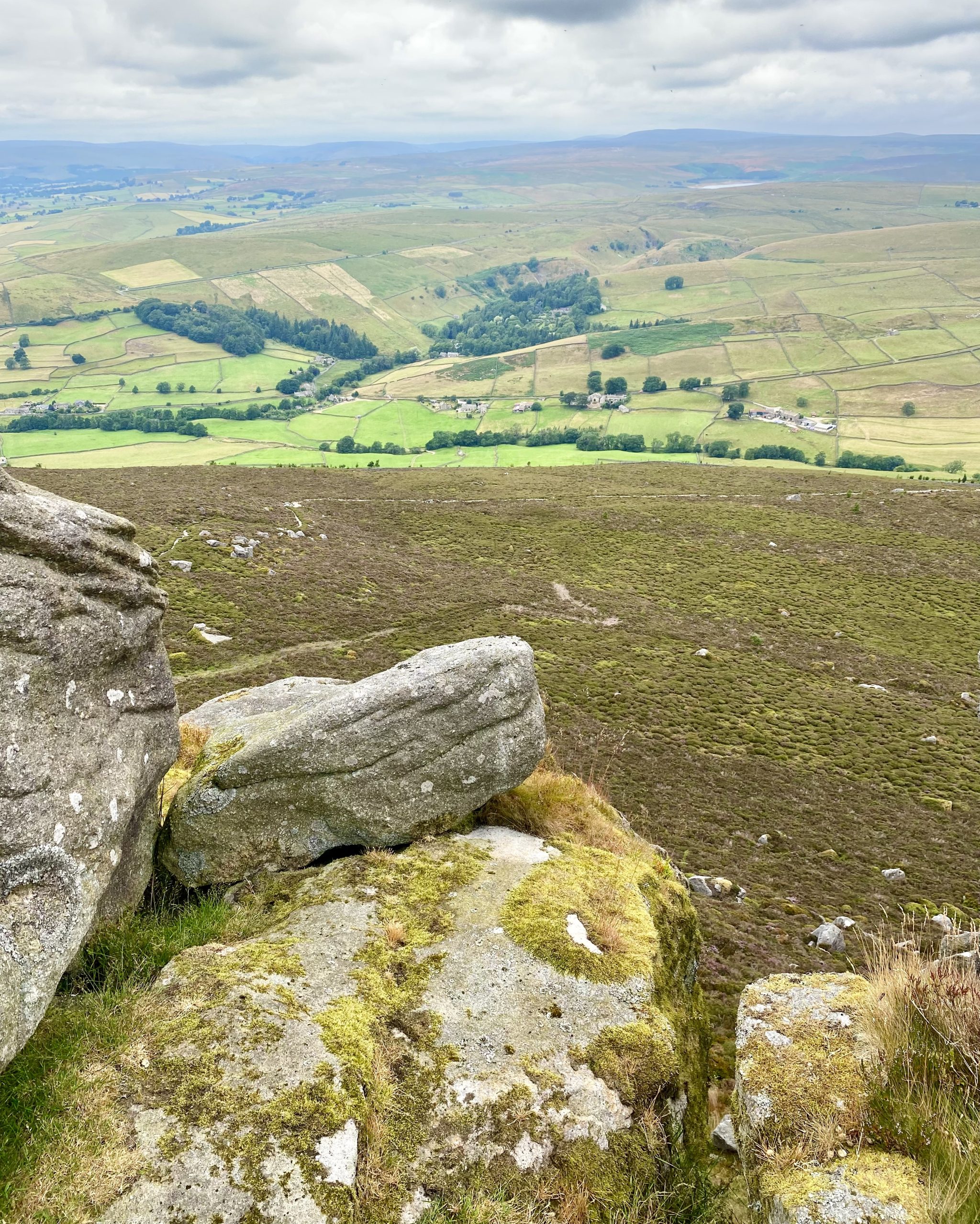
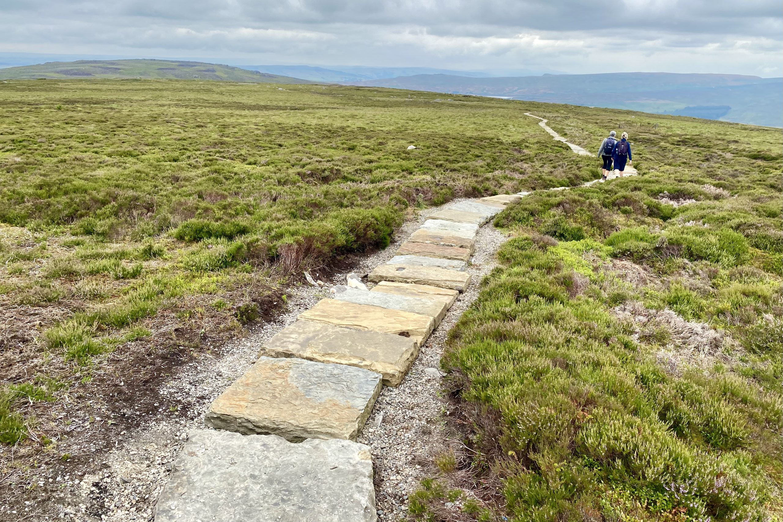
The well-maintained, recently-laid path between Simon’s Seat and Flask Brow.
The River Wharfe can be seen flowing through the valley from the path near The Devil’s Apronful.

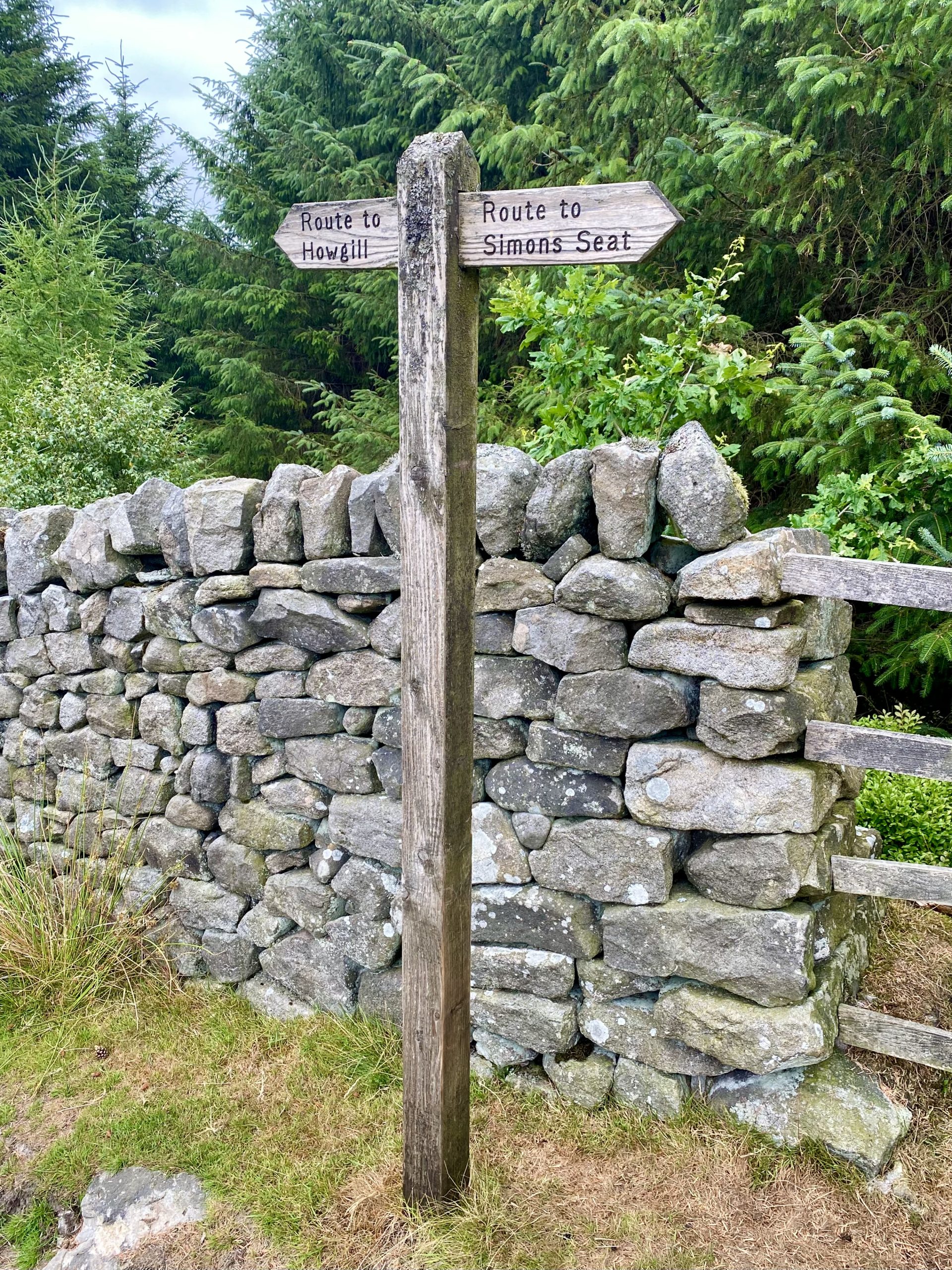
Signpost on the popular Howgill to Simon’s Seat route.
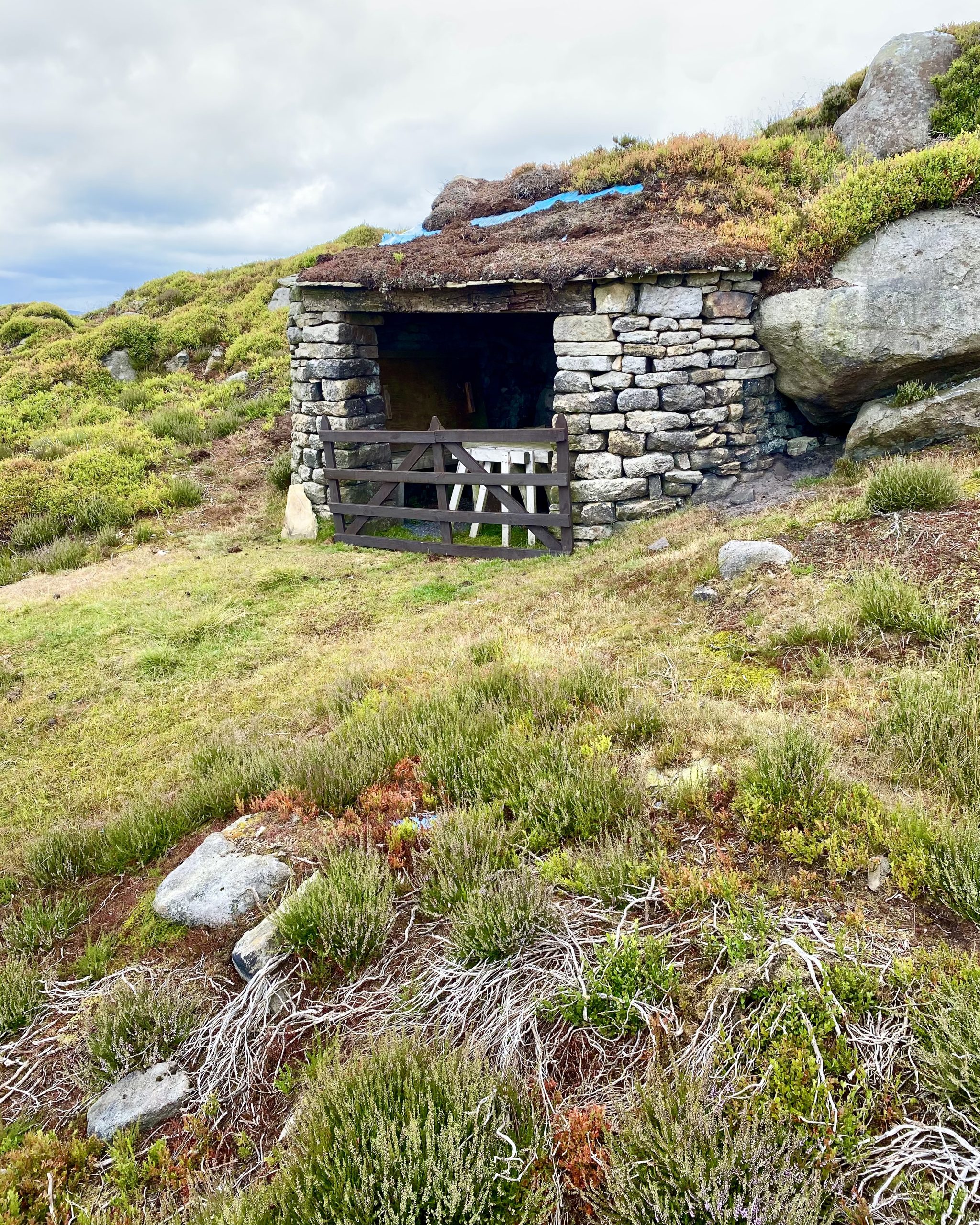
A lovely shelter and table on Barden Fell, but where are the chairs?

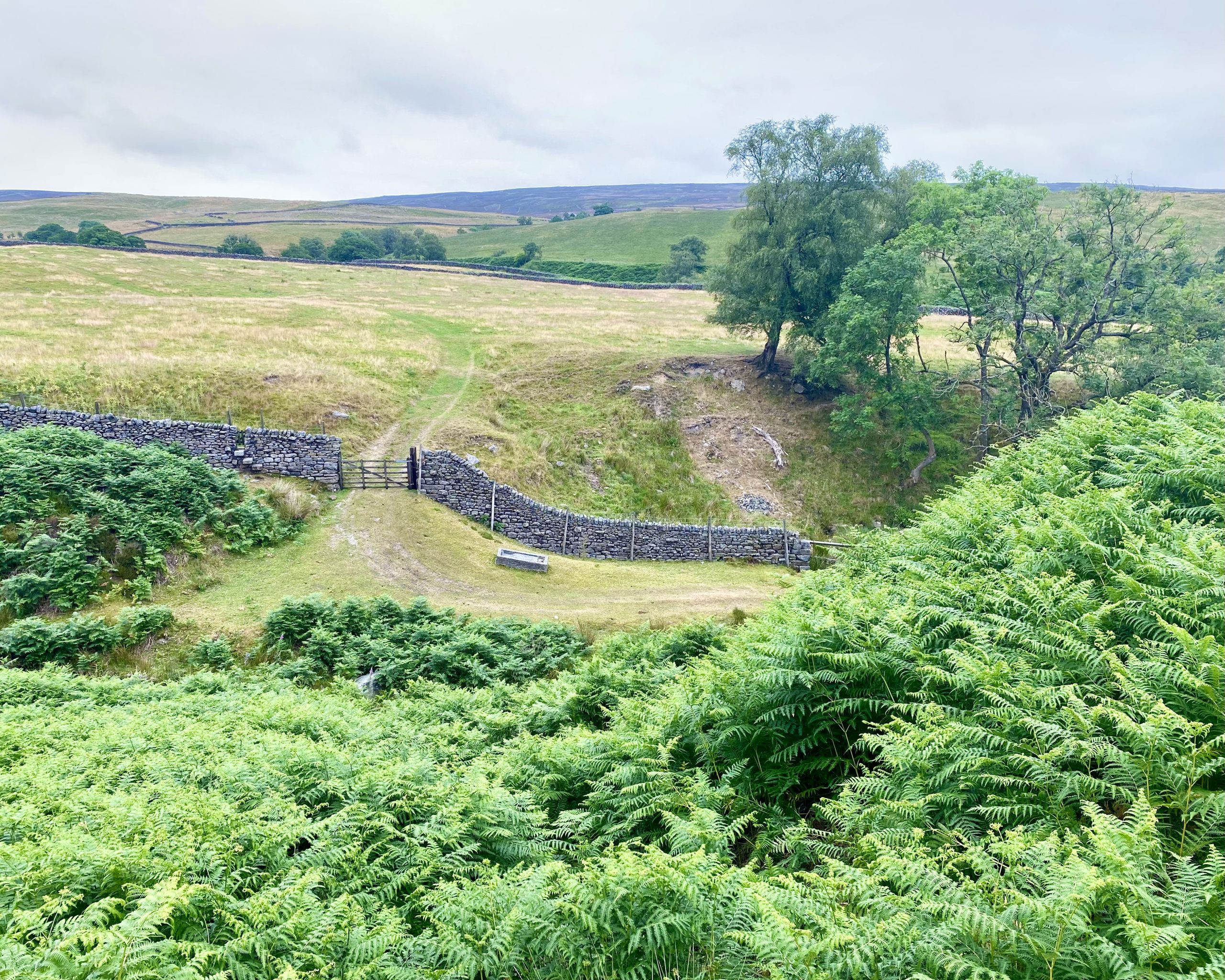
Farmland around Broadshawe, on the south side of Barden Fell.
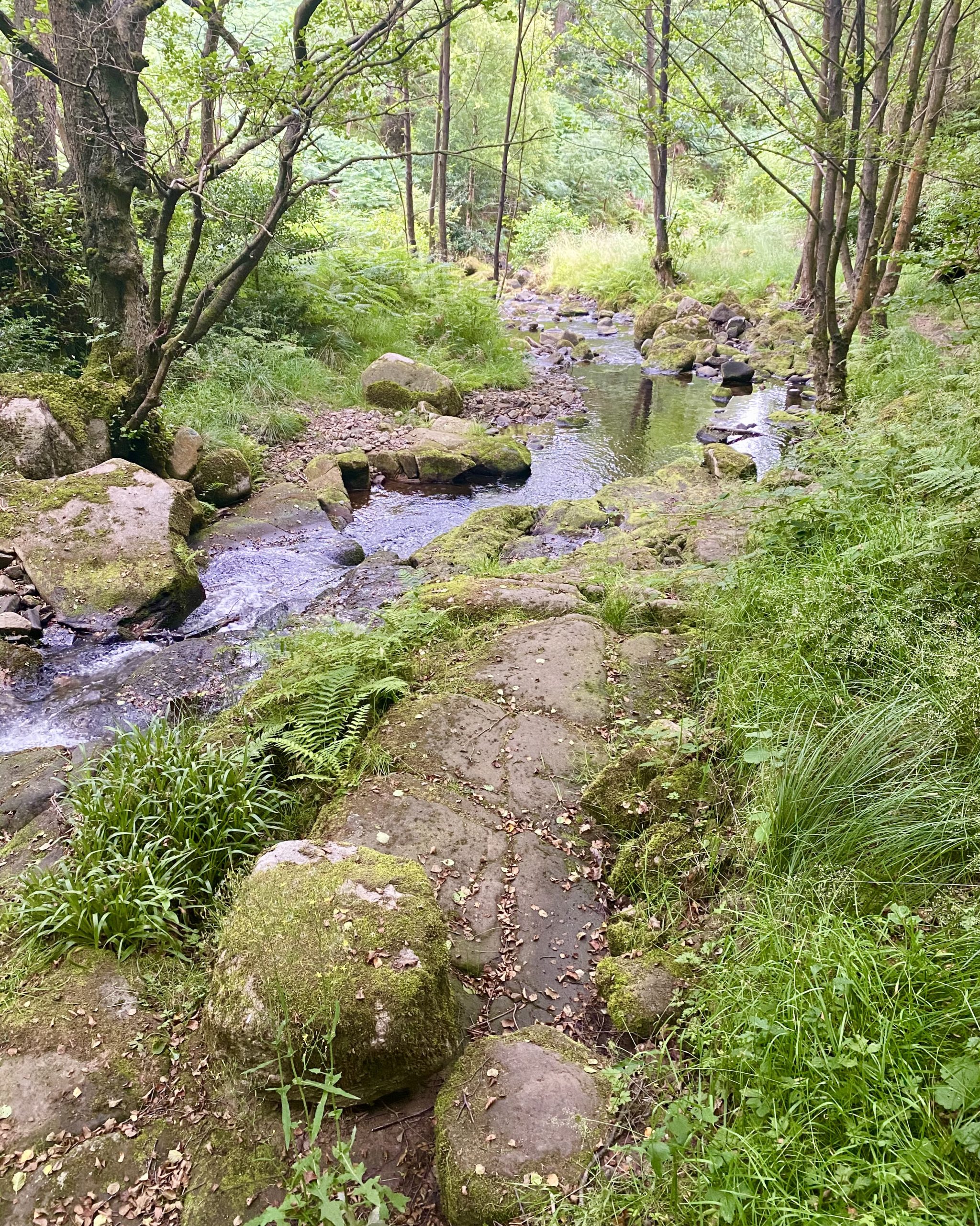
Sheepshaw Beck flowing through the Valley of Desolation, so called because of the devastation caused by a flood in the 19th century.
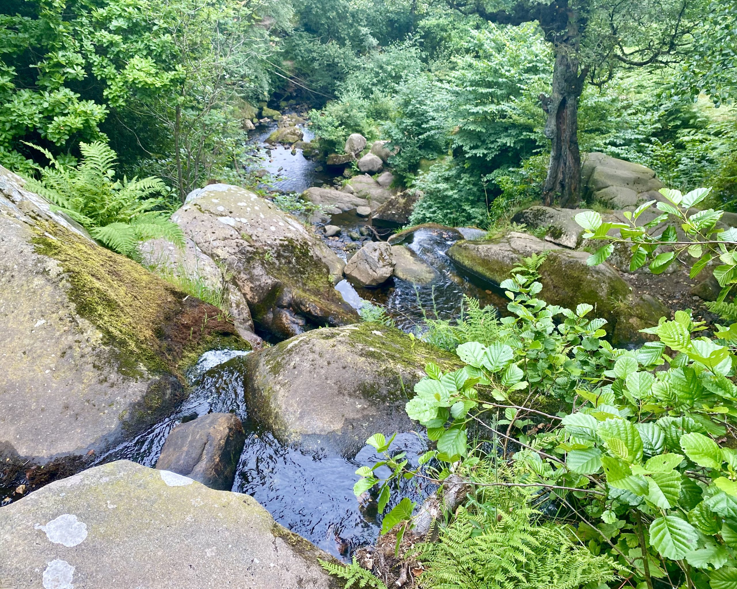
The lower and most impressive of two waterfalls on Sheepshaw Beck in the Valley of Desolation.
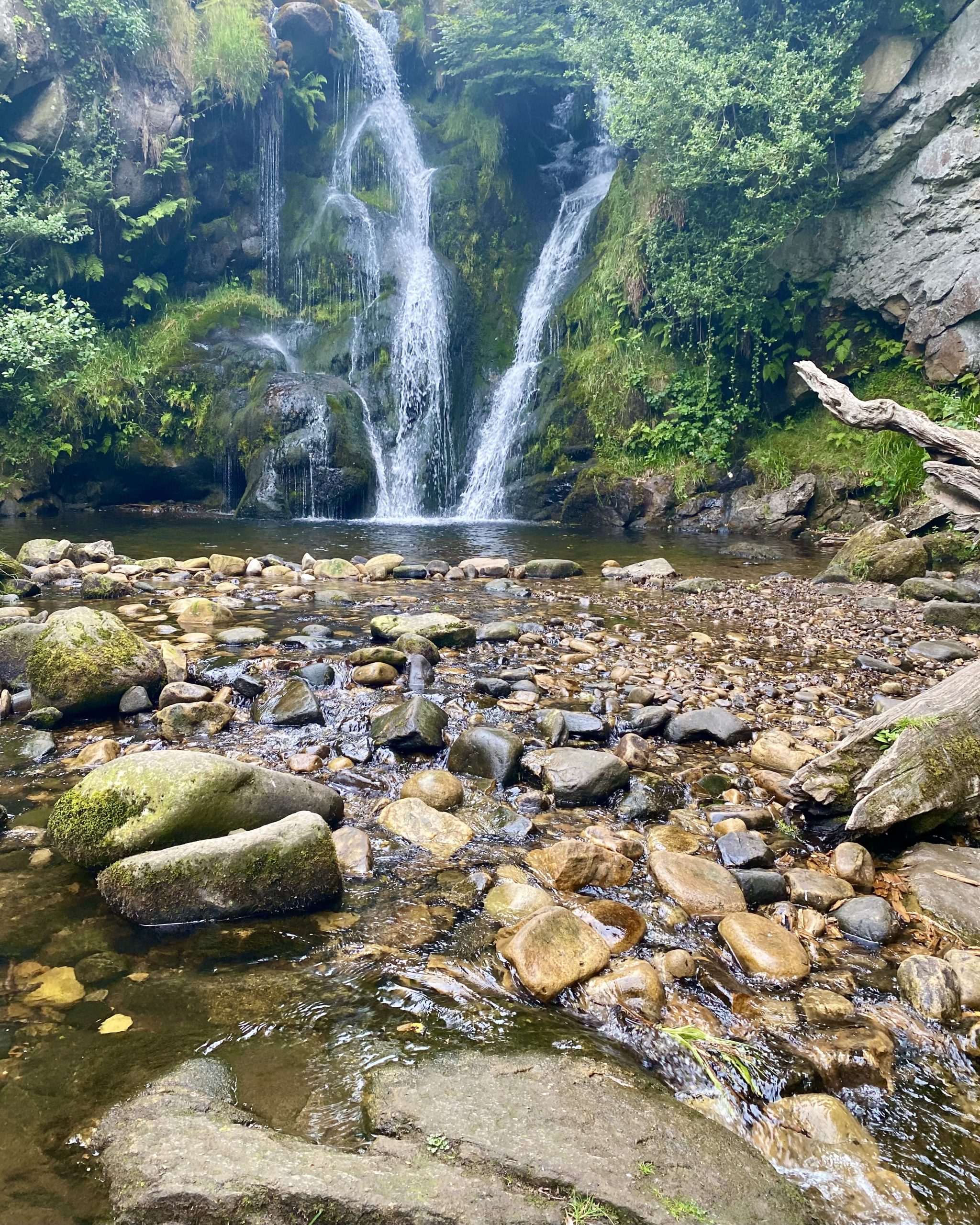

Seating area between Posforth Gill and the Valley of Desolation.
