East from the nature reserve below Haw Bank to Carperby, then south to Aysgarth Falls via Hollins House. South-west to Thoralby followed by a trek along Haw Lane to Brown-a-haw. North across moorland to the village of Thornton Rust and down Nipe Lane to meet the River Ure. East to the starting point following the course of the river and crossing it using the stepping stones if possible or the footbridge near Turn Hole. A 13-mile walk in the Yorkshire Dales.
Recommended Ordnance Survey Map
The best map to use on this walk is the Ordnance Survey map of the Yorkshire Dales Northern & Central Area, reference OS Explorer OL30, scale 1:25,000. It clearly displays footpaths, rights of way, open access land and vegetation on the ground, making it ideal for walking, running and hiking. The map can be purchased from Amazon in either a standard, paper version or a weatherproof, laminated version, as shown below.
Standard Version
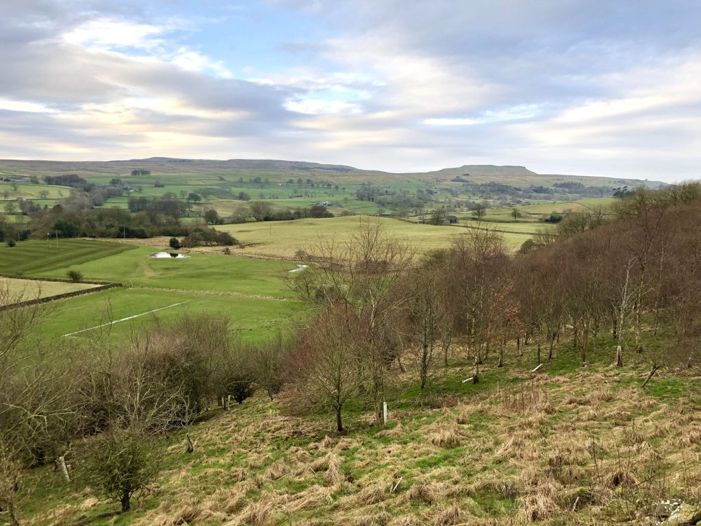
The view south-west across Wensleydale from farmland just outside Carperby. The hill on the horizon, right of centre, is Addlebrough.
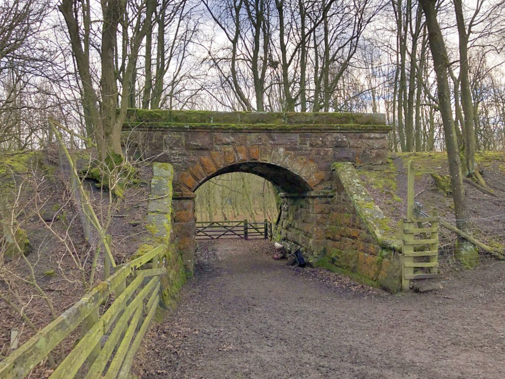
One of the routes into St Josephs Wood on the northern side of the River Ure at Aysgarth Falls. The bridge carries a now dismantled section of the Wensleydale railway line.
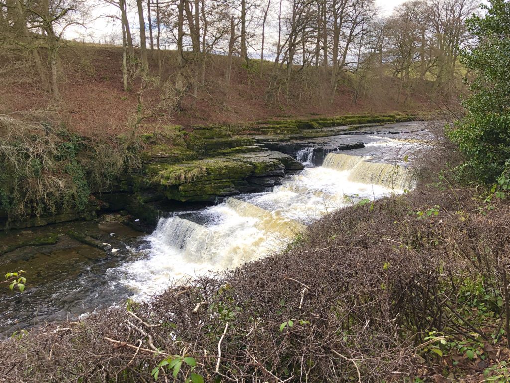
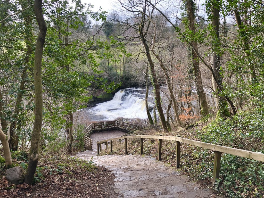
Lower Force, Aysgarth Falls.
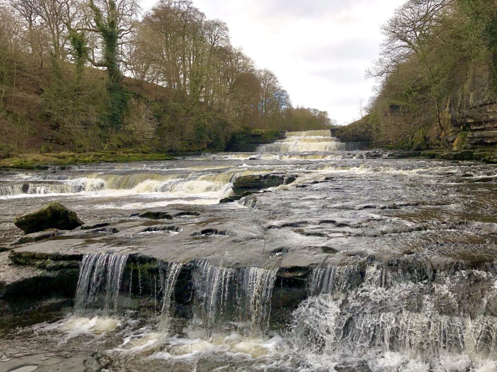
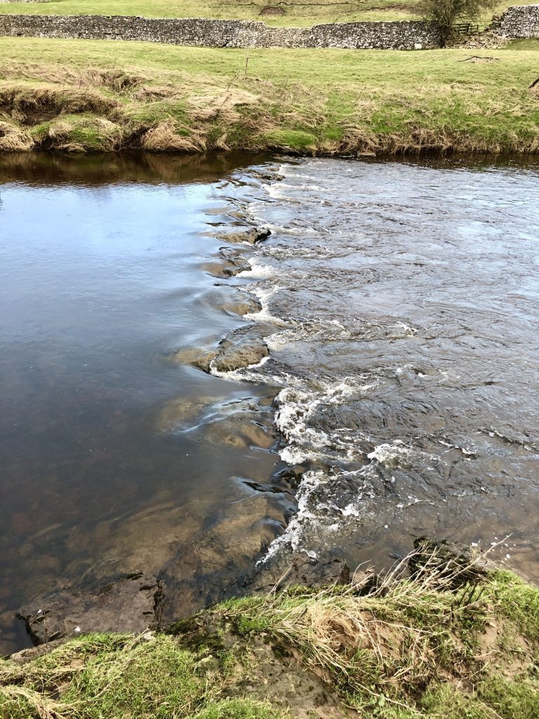
The River Ure at Lower Force, Aysgarth Falls.
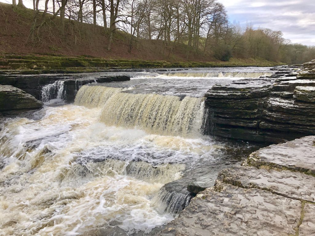
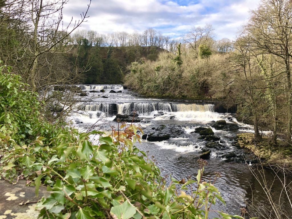
Middle Force, Aysgarth Falls.
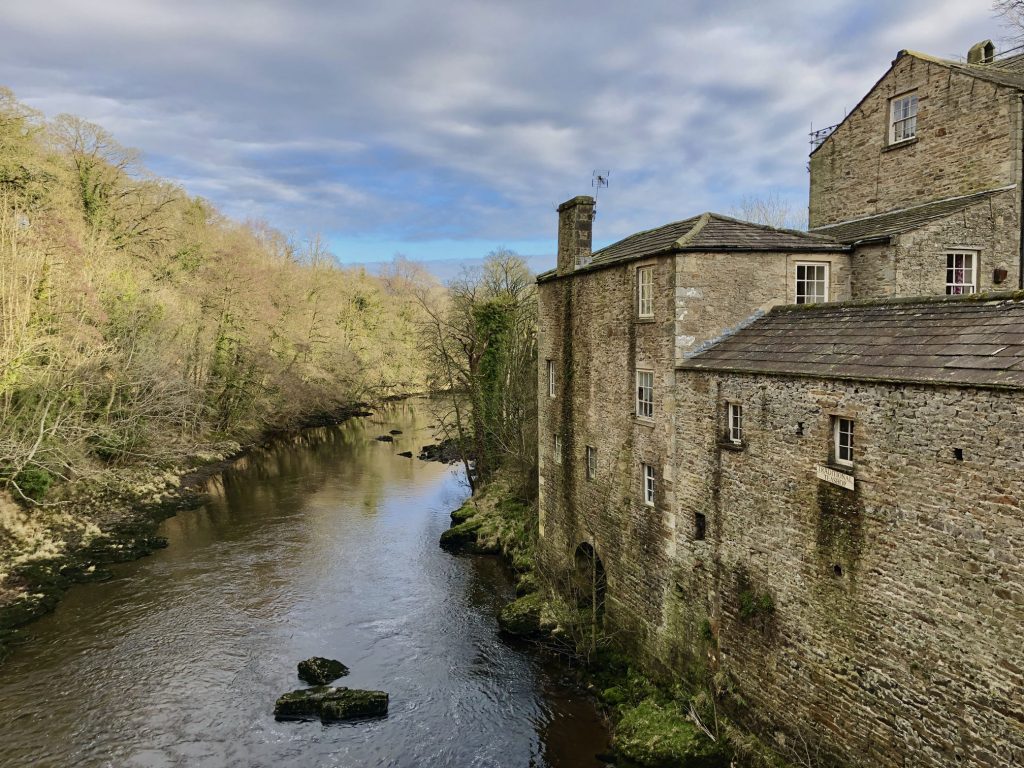
Yore Mill by the side of the River Ure at Aysgarth Falls (High Force).
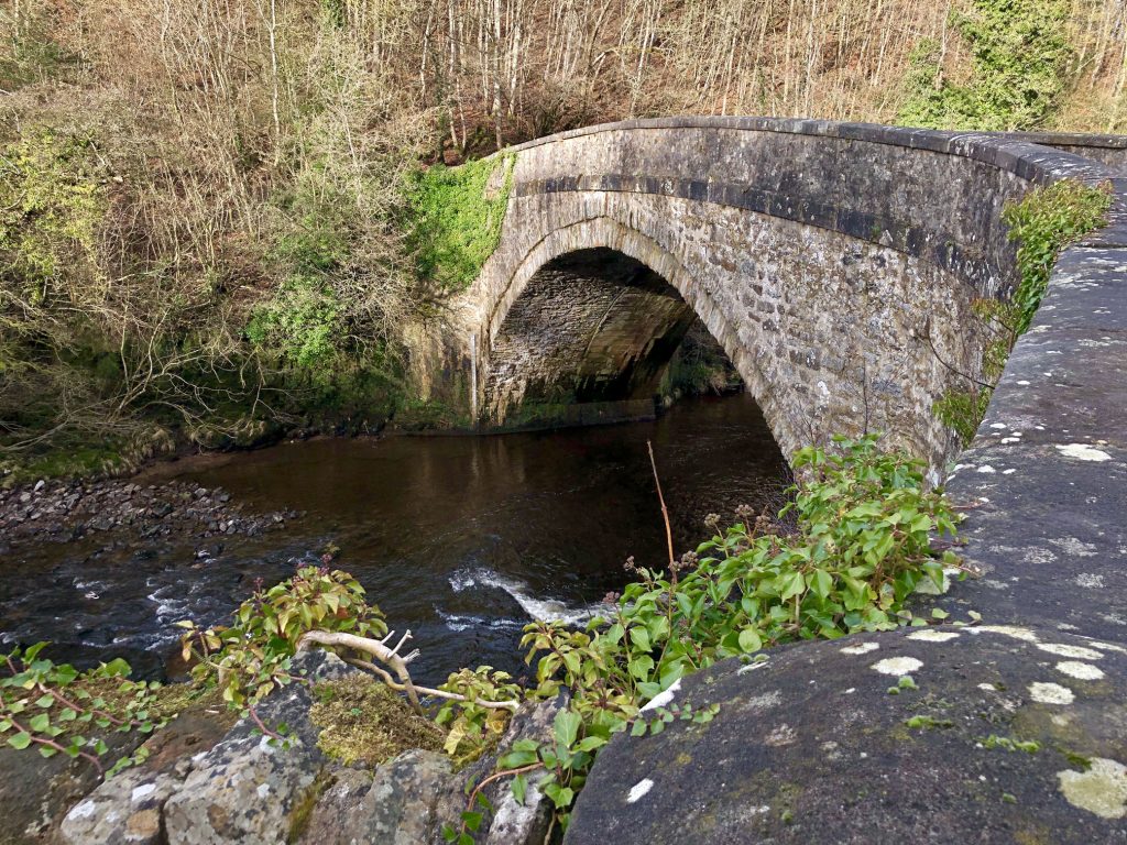
Yore Bridge, built in 1539 and stretching 71 feet across the River Ure at Aysgarth Falls (High Force).
High Force, Aysgarth Falls.
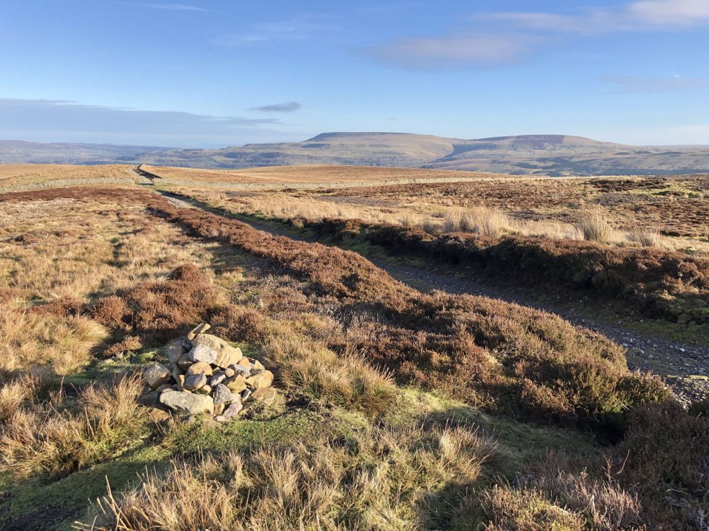
Brown-a-haw about two miles south-west of Thoralby.

The view east from Brown-a-haw towards Harland Hill (right) and Height of Hazely (left).
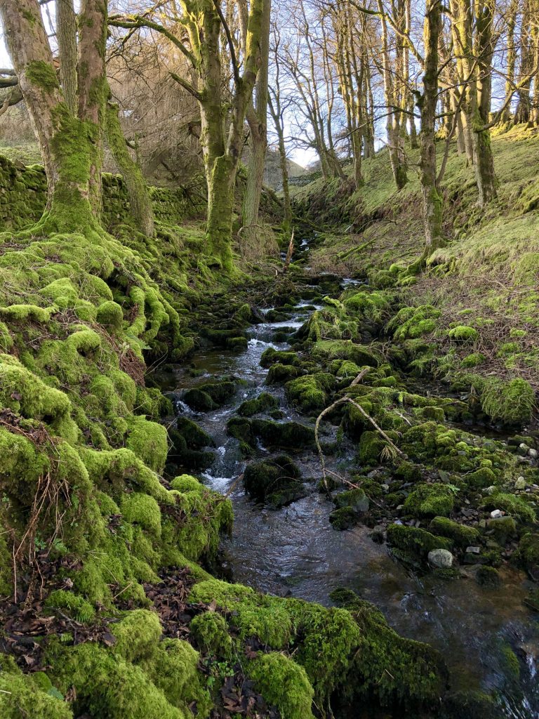
Gayle Ing Beck flowing through the woods at Gayle Ing.
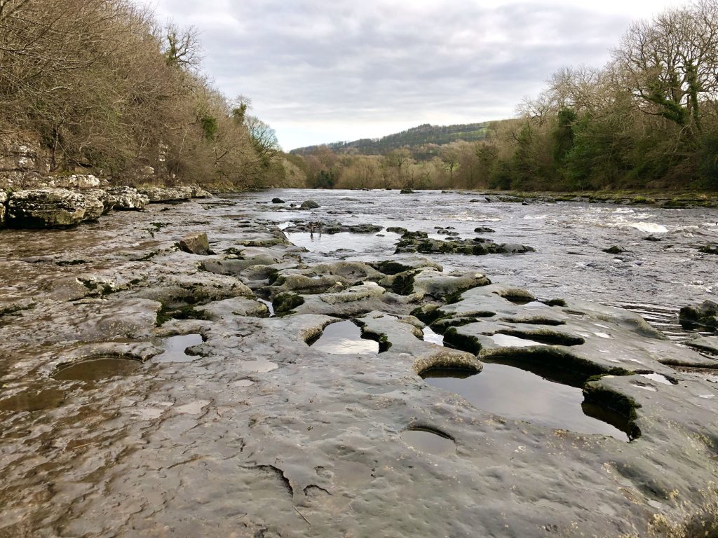
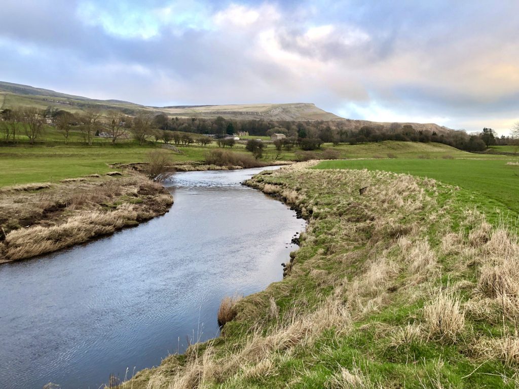
The River Ure, the principal river of Wensleydale. Usually the major dales in the Yorkshire Dales are named after the rivers which flow through them, for example the River Swale and Swaledale, but Wensleydale is named after one of its villages.
One of several sets of stepping stones which cross the River Ure in Wensleydale. In winter and after heavy rain they are usually submerged and alternative routes have to be found.