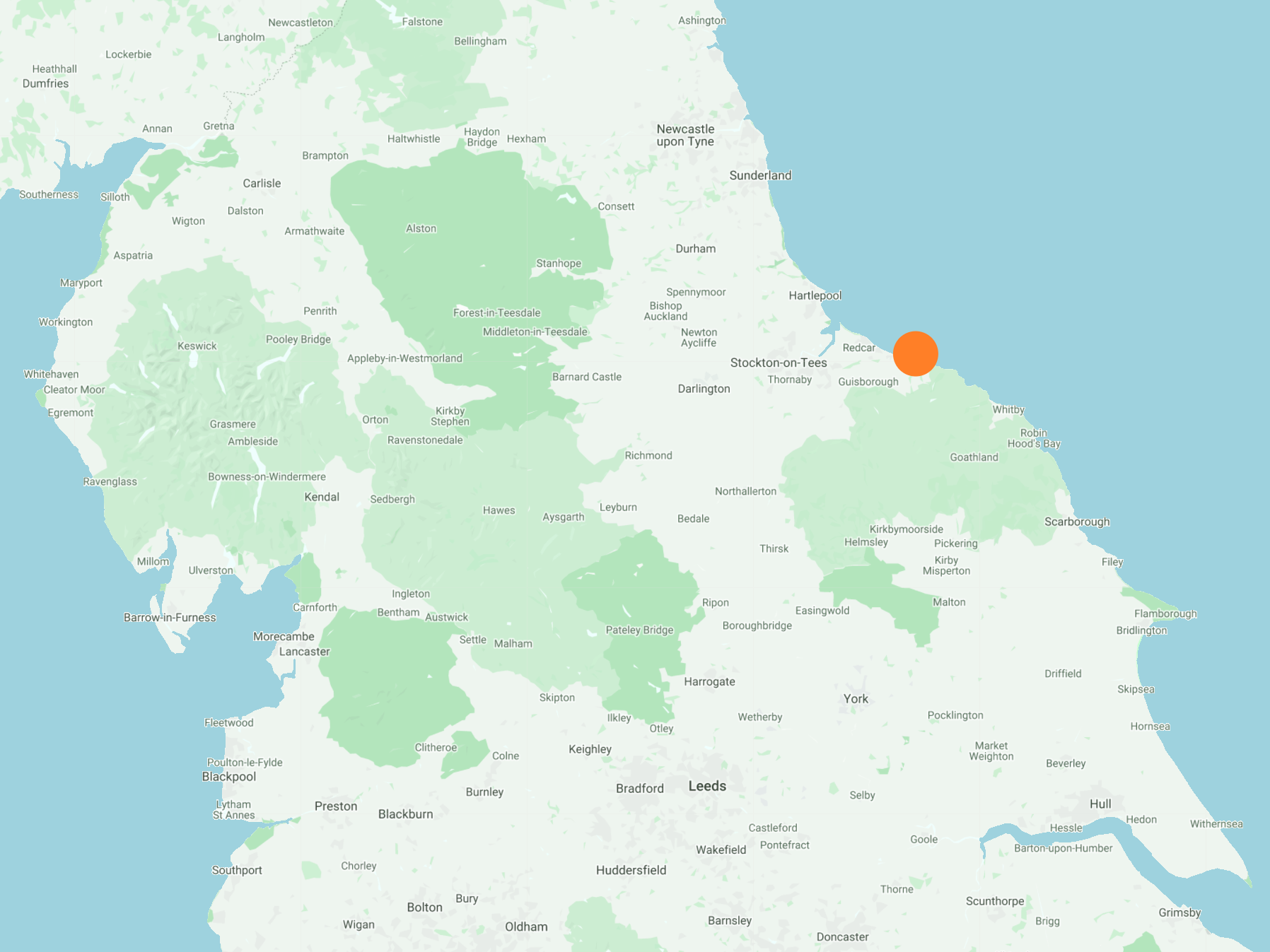
North-east on the Cleveland Street Walk to Carlin How and north through the village of Skinningrove to Skinningrove Jetty and Cattersty Sands. West to Saltburn-by-the-Sea along the Cleveland Way / England Coast Path via Cattersty Cliff and Hunt Cliff. South-west back to Slapewath following the Cleveland Way through Saltburn Valley Gardens, Skelton and Skelton Green. A 15-mile walk in Northern England.
Recommended Ordnance Survey Map
The best map to use on this walk is the Ordnance Survey map of the North York Moors Western Area, reference OS Explorer OL26, scale 1:25,000. It clearly displays footpaths, rights of way, open access land and vegetation on the ground, making it ideal for walking, running and hiking. The map can be purchased from Amazon in either a standard, paper version or a weatherproof, laminated version, as shown below.
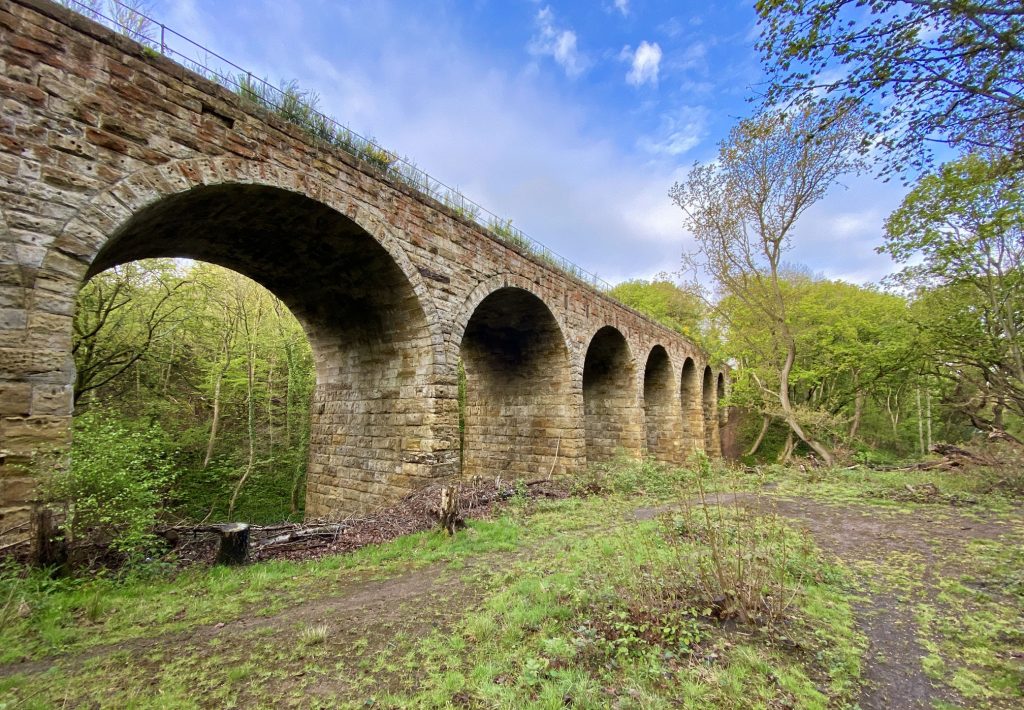
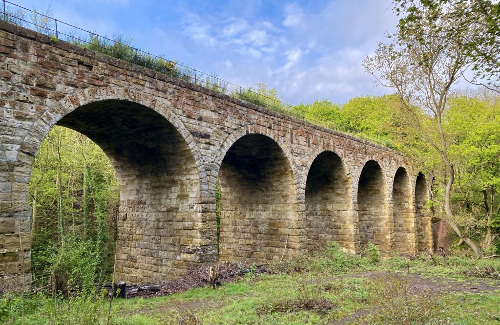
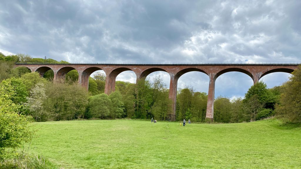
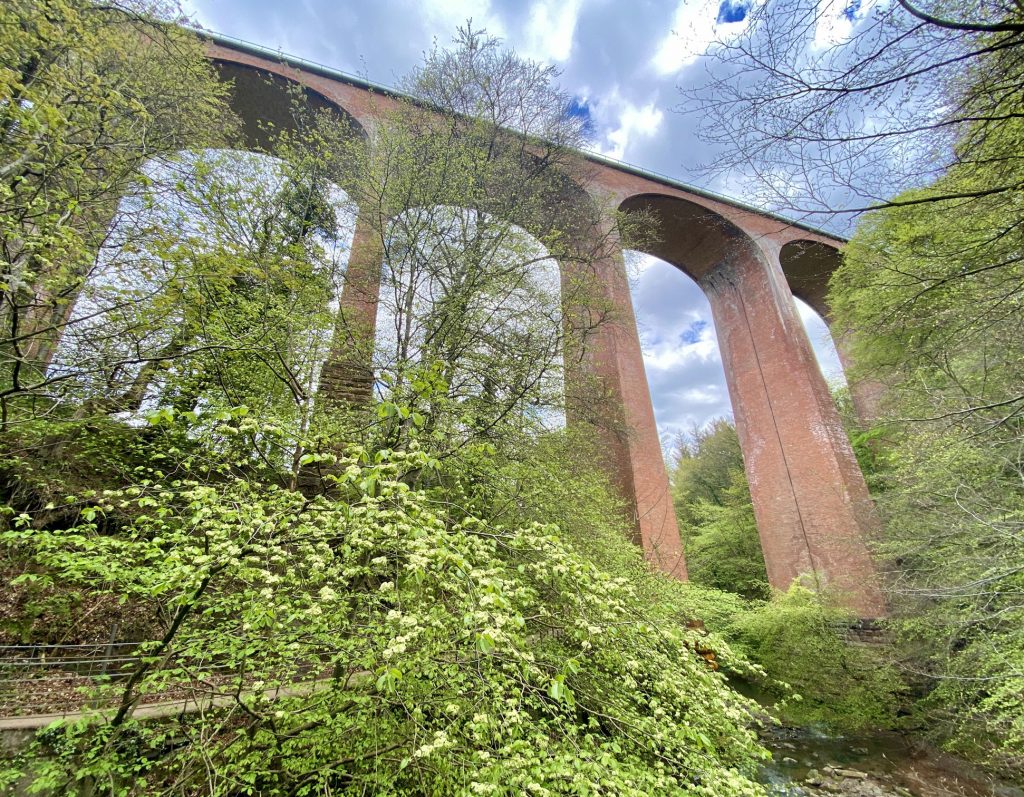
Grade 2 listed railway viaduct by the side of the A171 Guisborough to Whitby road in Slapewath, constructed between 1858 and 1862 as part of the former Cleveland Railway. The railway was built by Sir Lowthian Bell and Ralph Ward Jackson to carry raw material from Bell and Jackson’s inland ironstone mines to Bell’s ironworks at Port Clarence on the River Tees.
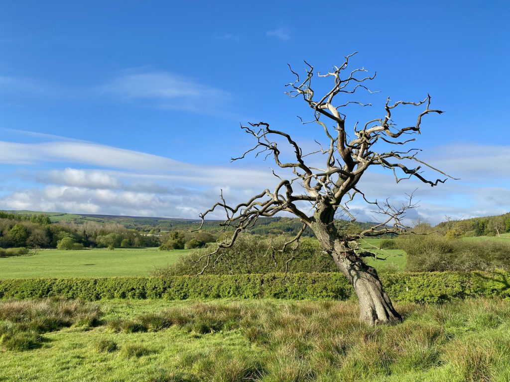
The view south-west towards the terraced houses of Charltons, just visible beyond the trees on the left of the picture.
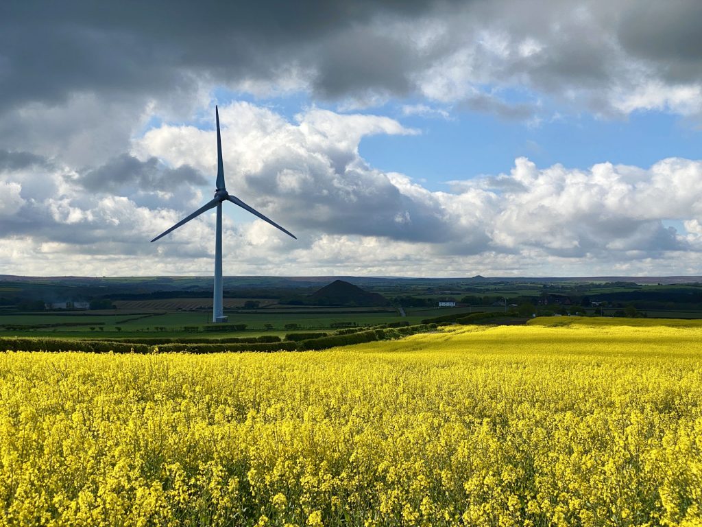
Wind turbine by the side of Kilton Thorpe Lane about half a mile south of Brotton.
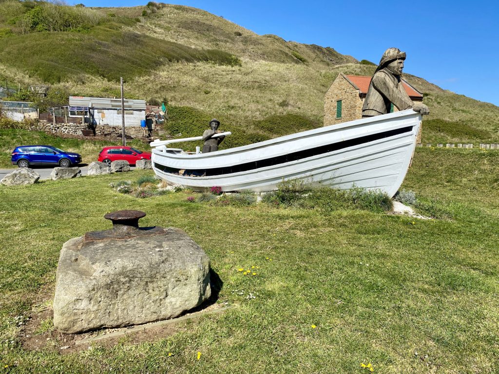
The Repus, a traditional fishing coble found in bad repair at South Gare, Tees Bay. The boat was repaired and is displayed in the seaside village of Skinningrove.
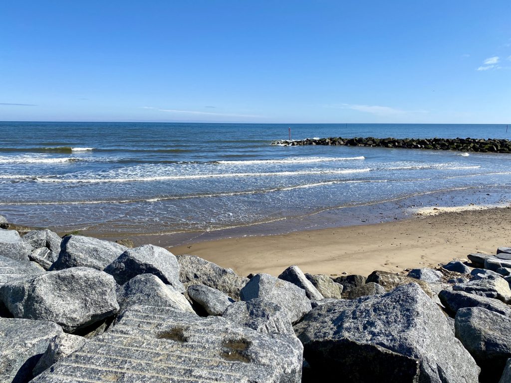
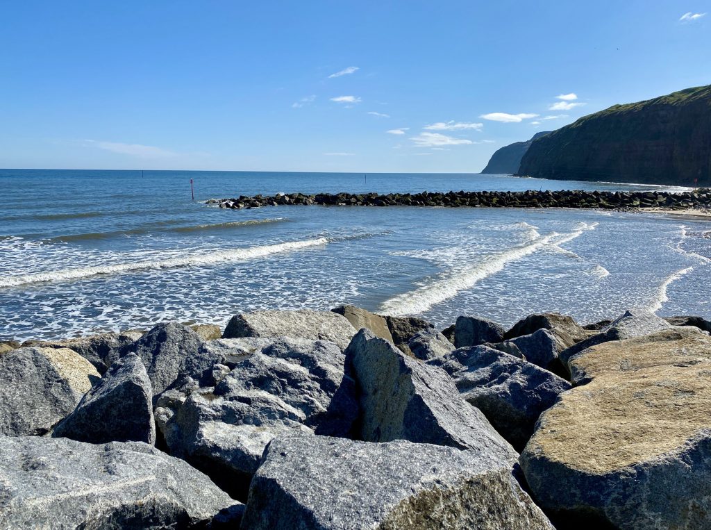
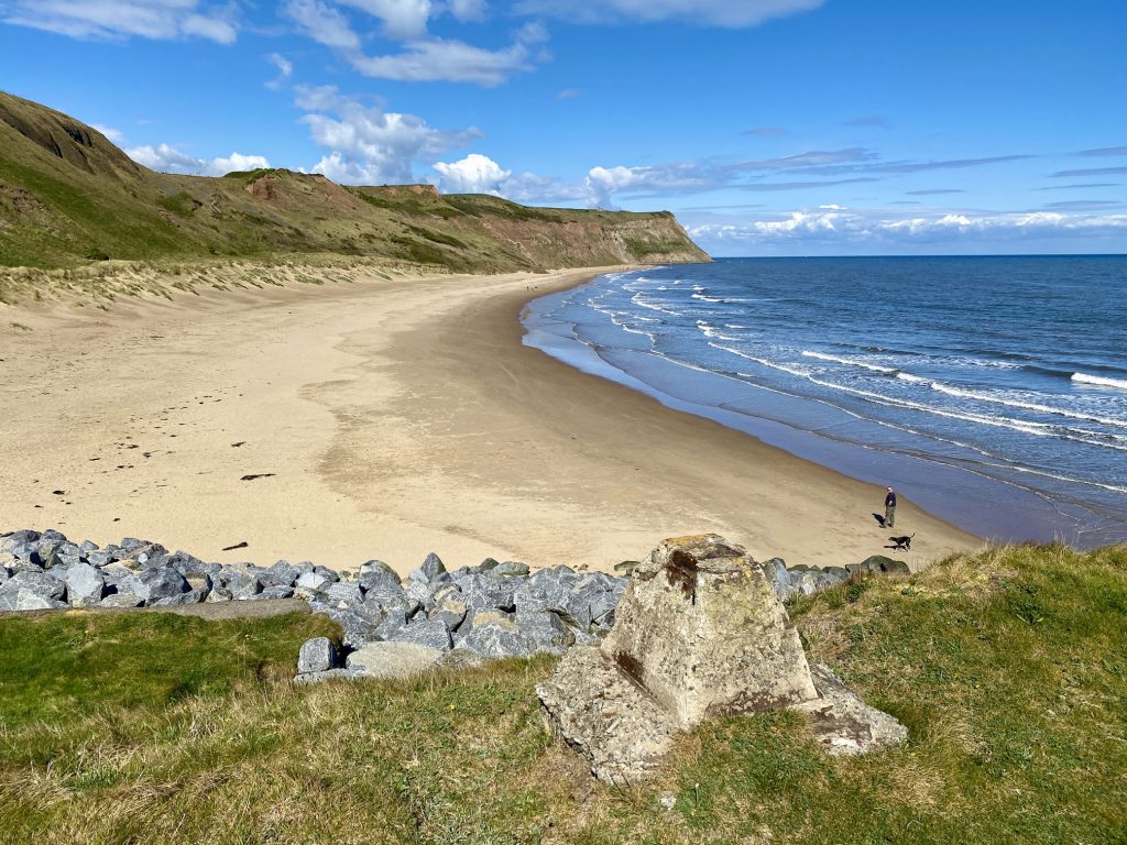
Beach and sea defences at Skinningrove.
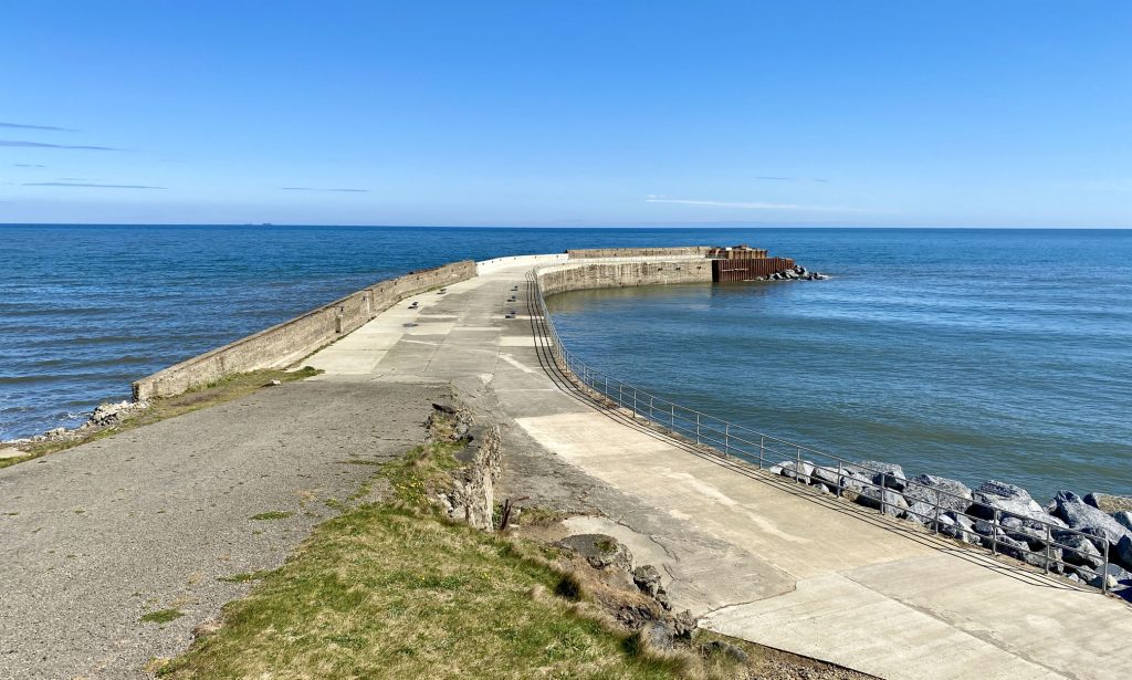
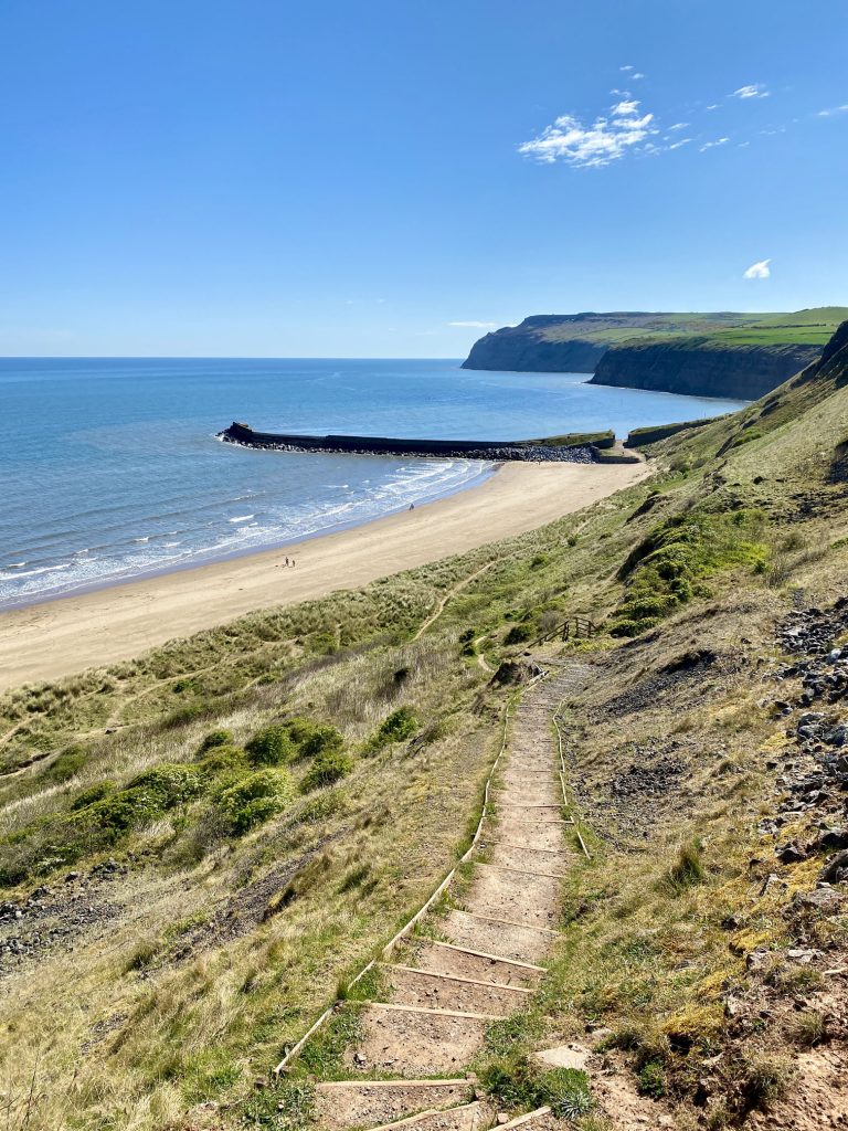
Skinningrove Jetty, built in the 1880s to load pig iron from the village’s iron and steel works on to ships for transport to Grangemouth in Scotland.
Cattersty Sands on the north side of Skinningrove Jetty.
The route of the Cleveland Way footpath by the side of Cattersty Sands before it rises to the top of Cattersty Cliff.
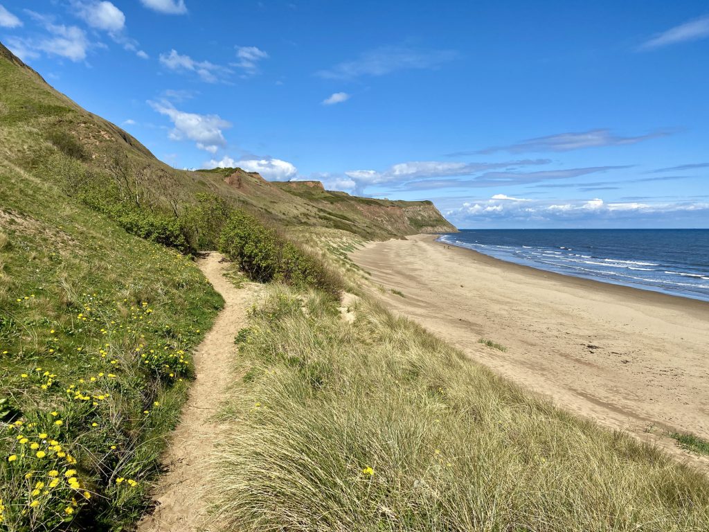
The Cleveland Way footpath, Cattersty Sands and Skinningrove Jetty.
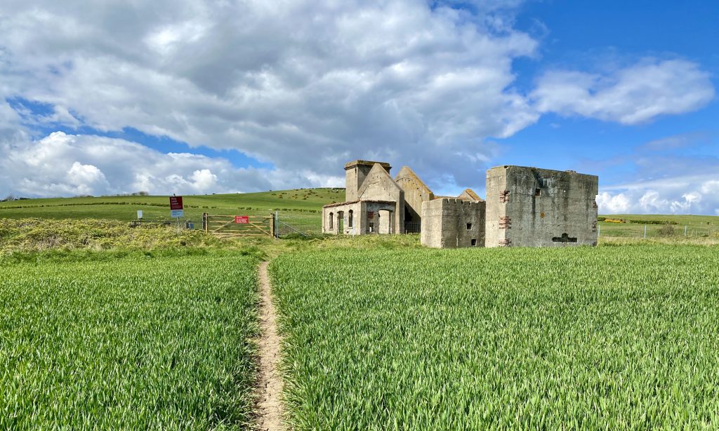
The remains of the 19th-century Guibal Fanhouse on Hunt Cliff, between Skinningrove and Saltburn-by-the-Sea. An enormous fan powered by a steam engine was used to draw stale air out of the underground ironstone mines.
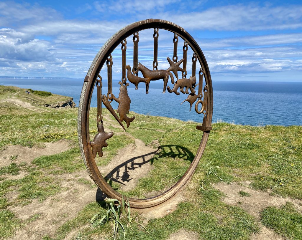
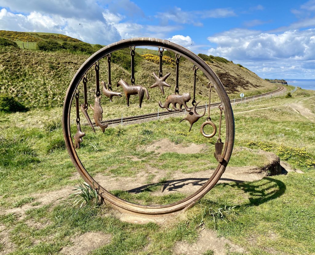
Richard Farrington’s iron sculpture on Hunt Cliff, located next to the railway line below Warsett Hill. The sculpture takes the form of a bracelet and 10 charms which I believe represent a hammer, a ring, a purse, a cat, a starfish, a horse, a pigeon, an owl, a belemnite fossil and a piece of protoplasm.
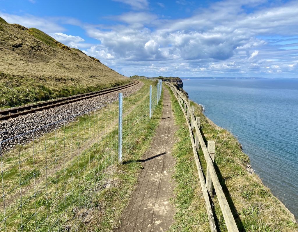
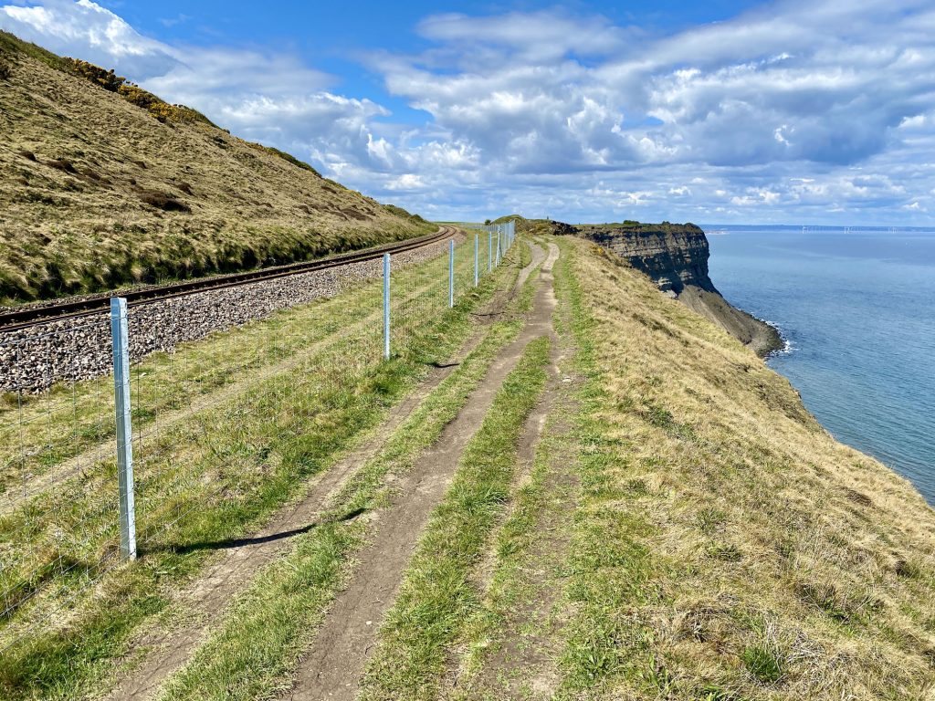
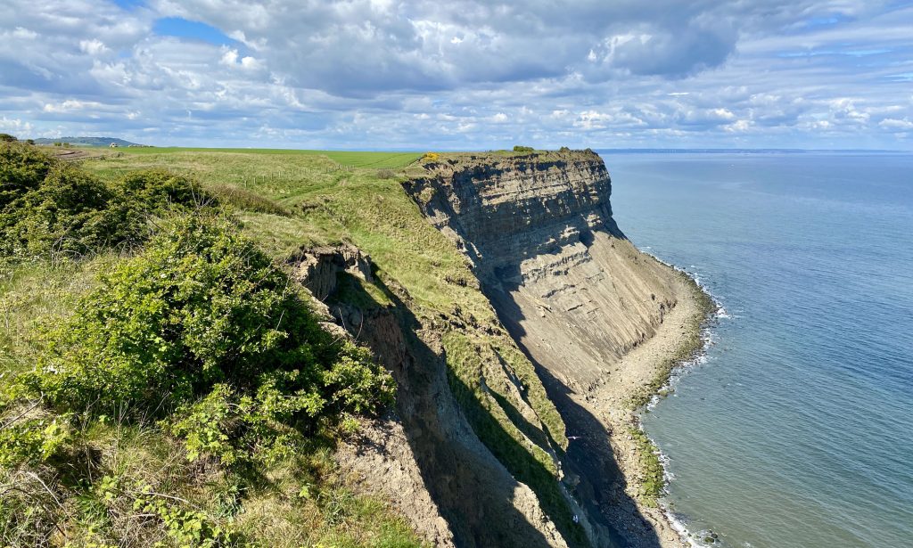
The England Coast Path / Cleveland Way on Hunt Cliff. Teesside Wind Farm consisting of 27 offshore turbines north of Redcar can just be seen in the distance.
Saltburn Scar.
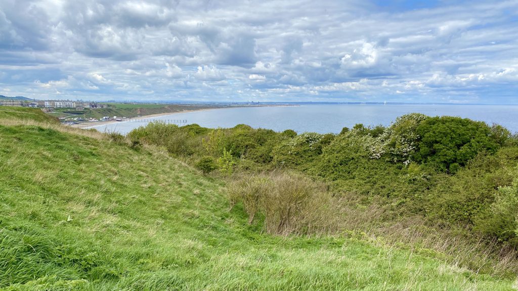
The coastline between Saltburn-by-the-Sea and Redcar as seen from the cliff top above Saltburn Scar.
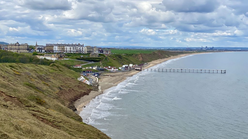
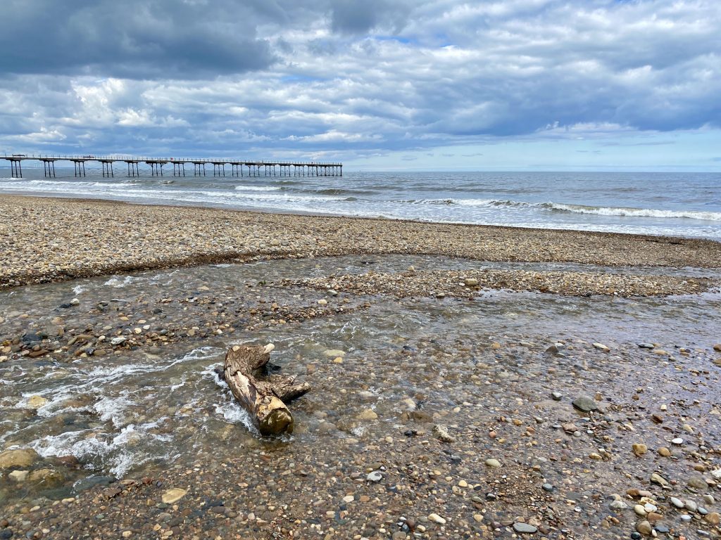
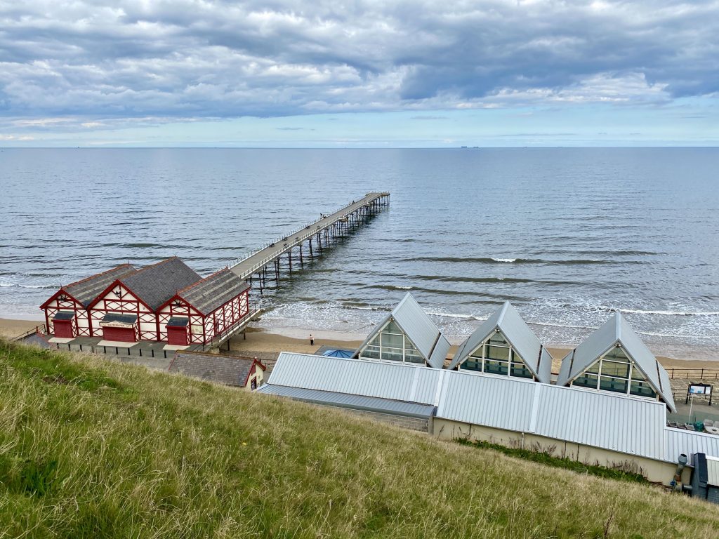
Saltburn-by-the-Sea and Saltburn Pier.
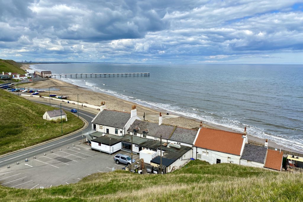
Looking down on the Ship Inn and it’s car park, closed due to the COVID-19 outbreak.
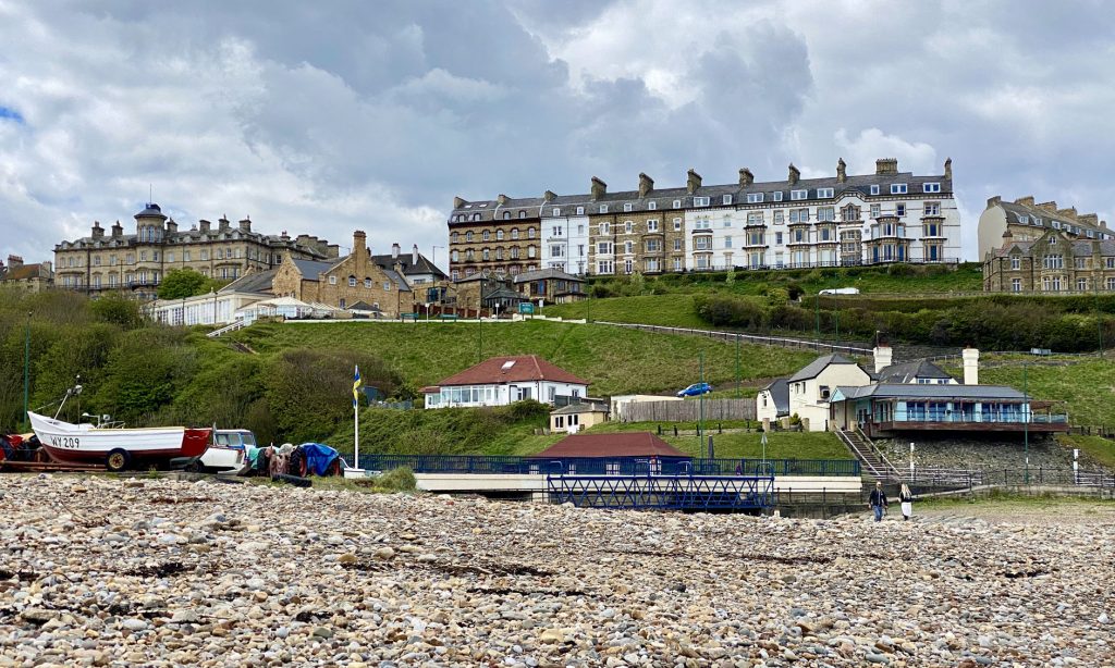
Magnificent buildings on Saltburn’s Marine Parade.
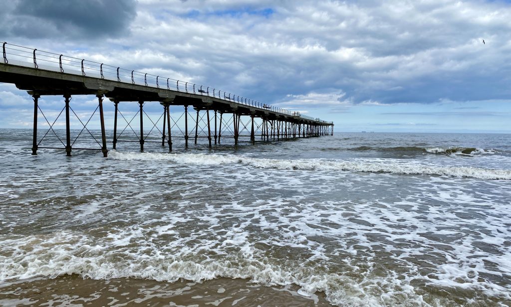
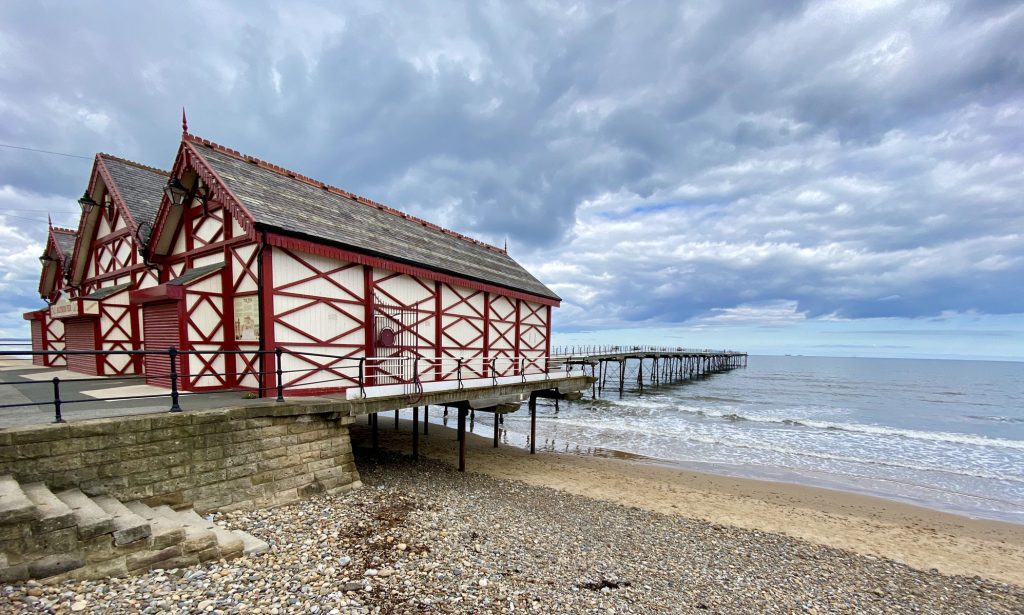
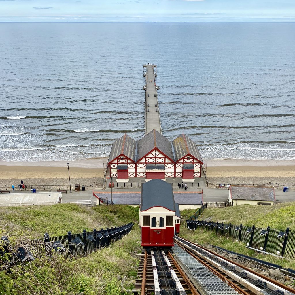
Saltburn Pier, commissioned by the Saltburn Pier Company in 1867 and completed in 1869.
Saltburn Cliff Lift, the oldest operating water-balance cliff lift in the United Kingdom. It was constructed between 1883 and 1884 to replace the original vertical cliff hoist designed by John Anderson.
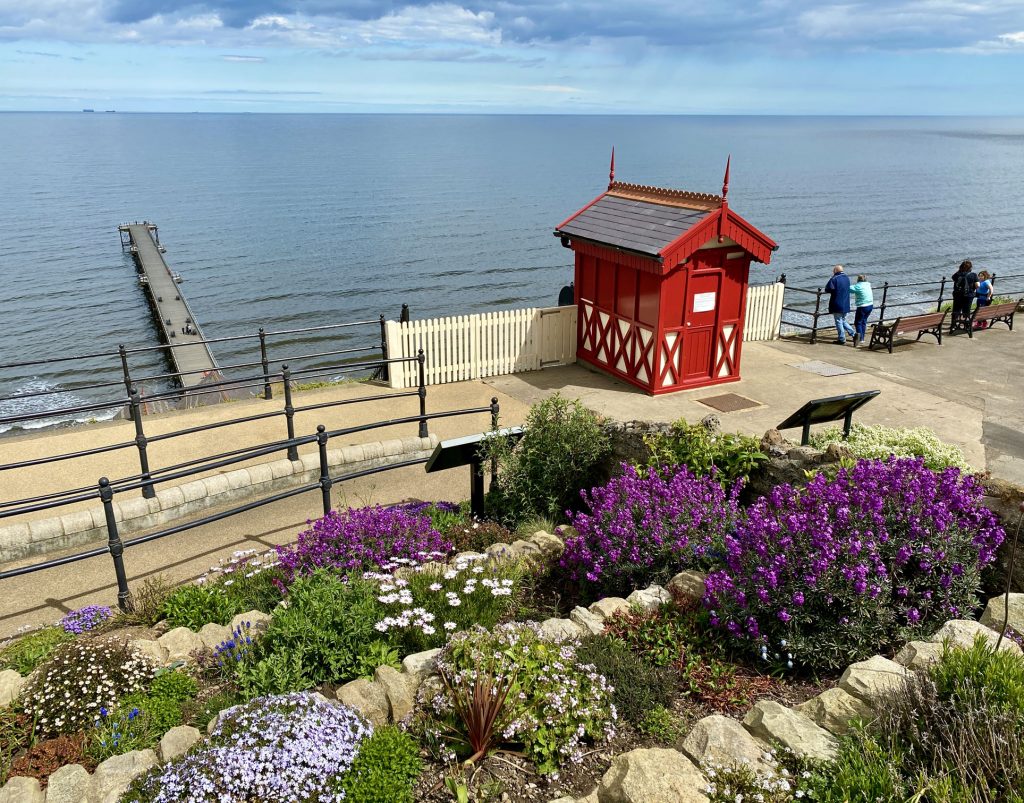
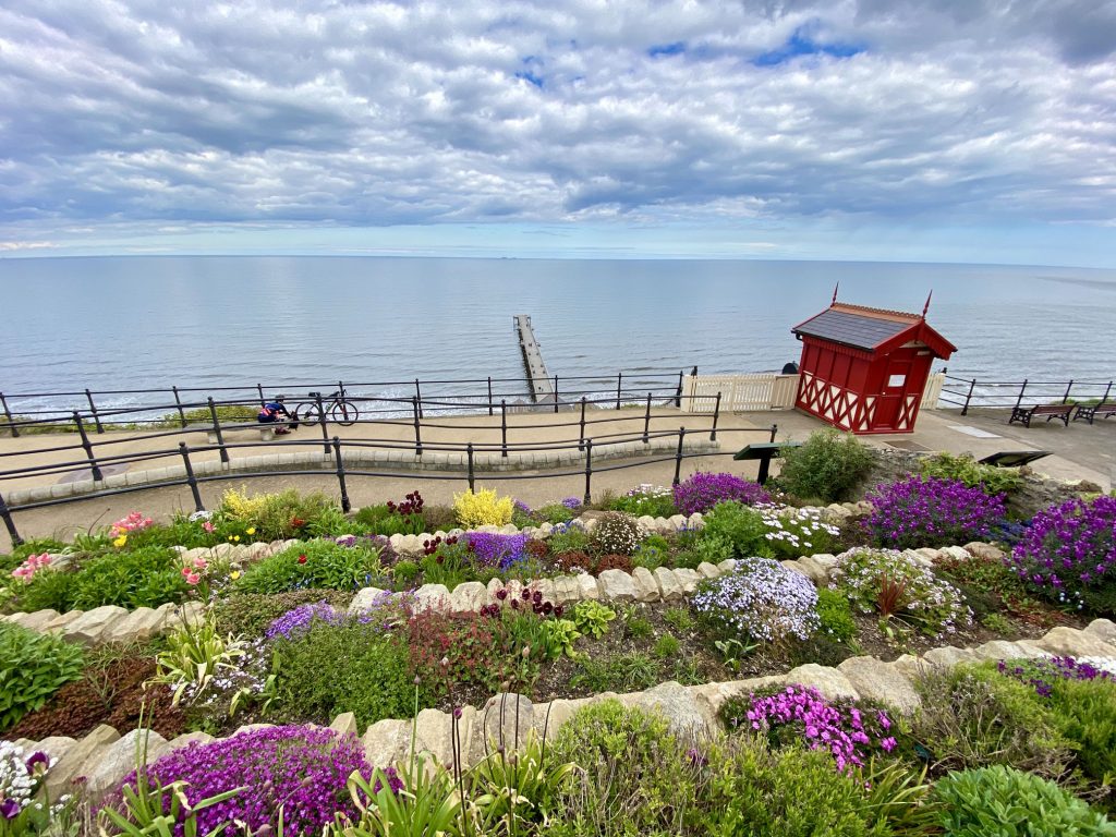
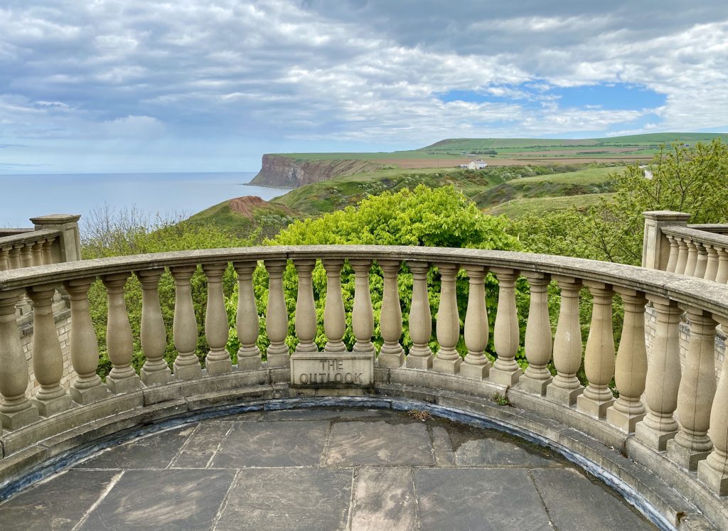
Gardens above Saltburn Pier and the Saltburn Cliff Lift.
The view east from Saltburn towards Saltburn Scar and Warsett Hill.
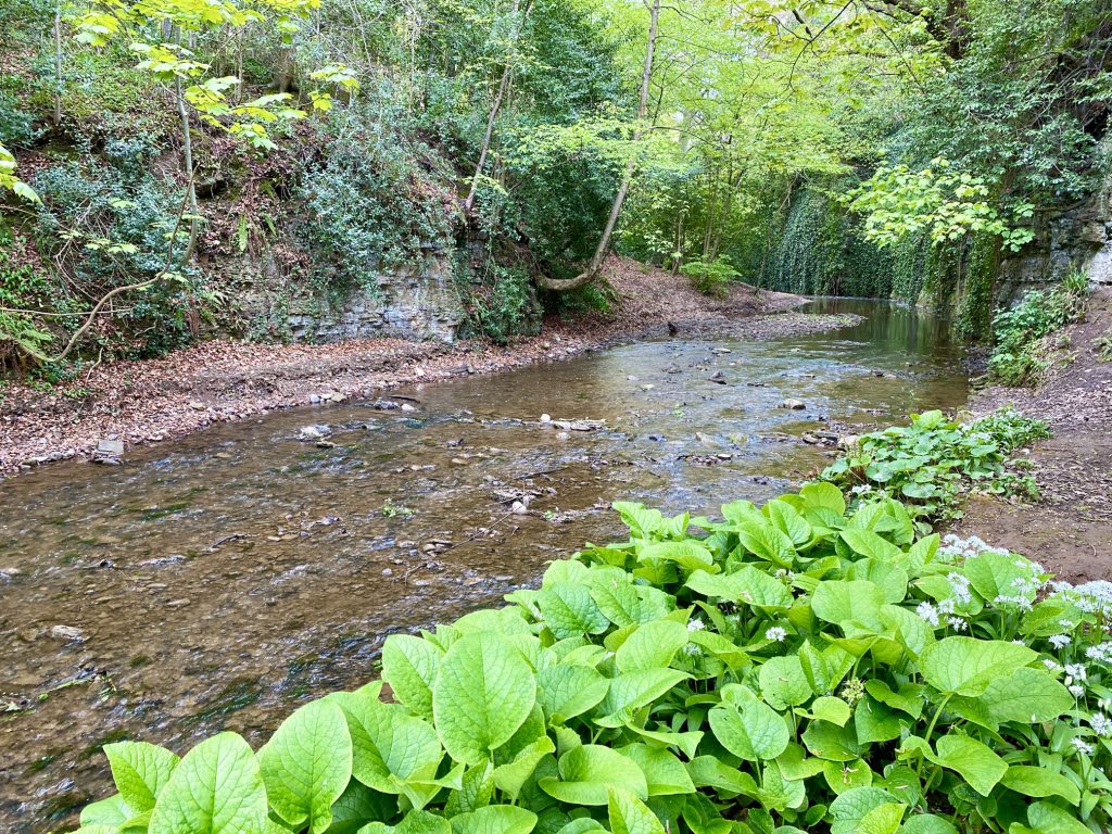
Skelton Beck in Saltburn Valley Gardens.
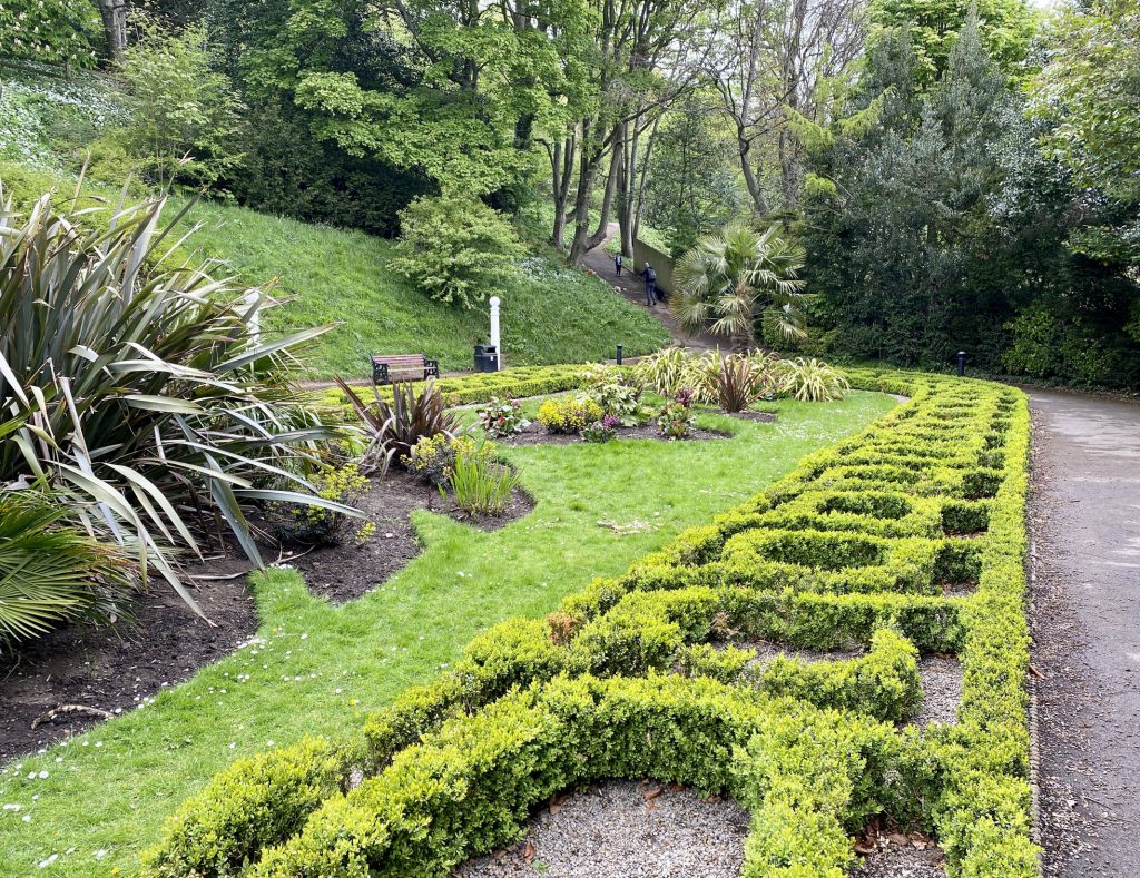
The Italian Garden in Saltburn Valley Gardens.
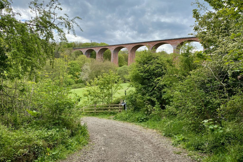
Saltburn Viaduct over Skelton Beck, originally part of the Whitby, Redcar and Middlesbrough Union Railway which opened in 1872. Its designer is thought to be Thomas Elliot Harrison.
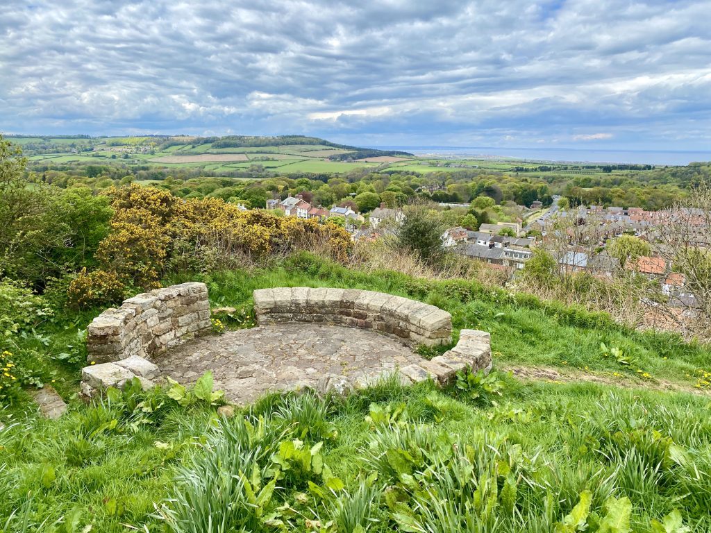
The view north-west over the rooftops of Skelton towards Marske-by-the-Sea, Redcar and the North Sea.
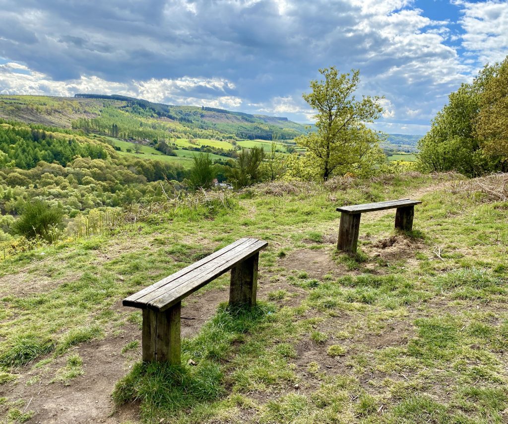
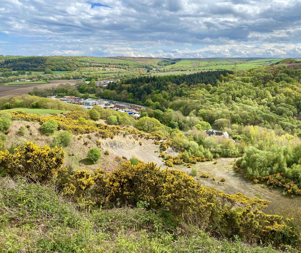
The site of a disused quarry at Slapewath, with Birk Brow and Stanghow Moor on the horizon.
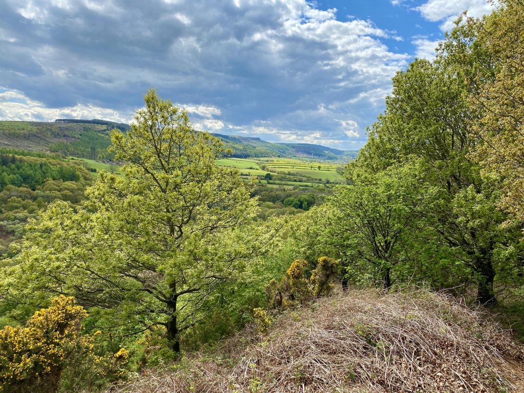
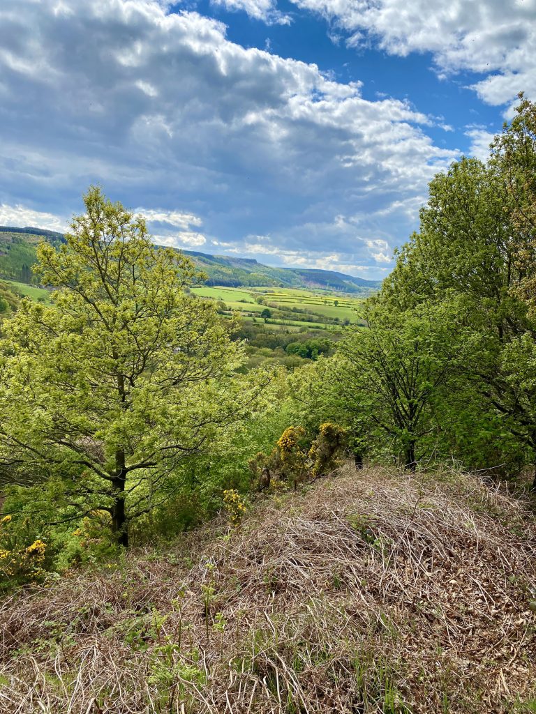
Looking across to Guisborough Woods and Highcliff Nab from Spring Bank, just above Slapewath.