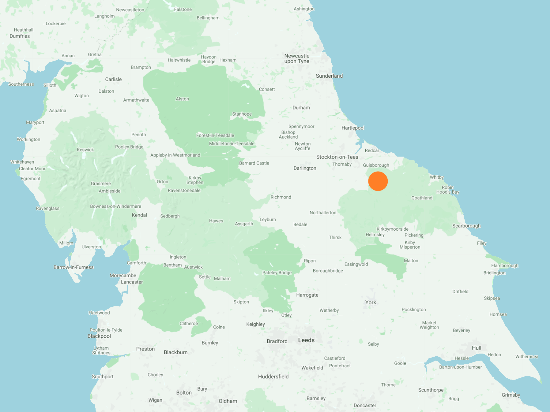
South from Boosbeck along Jenny Frisk Road to the A171, then across Stanghow Moor, initially on the Quakers’ Causeway, all the way to Commondale. South-east to Castleton via Box Hall on a track which broadly speaking follows the route of the Esk Valley Railway. Back to Commondale on the opposite side of the valley via Thornhill Farm and Westgate Farm. North-west by way of North Ings across to Westworth Wood and Guisborough Woods, and finally north-east through Slapewath back to Boosbeck. An 18-mile walk in Northern England.
Recommended Ordnance Survey Map
The best map to use on this walk is the Ordnance Survey map of the North York Moors Western Area, reference OS Explorer OL26, scale 1:25,000. It clearly displays footpaths, rights of way, open access land and vegetation on the ground, making it ideal for walking, running and hiking. The map can be purchased from Amazon in either a standard, paper version or a weatherproof, laminated version, as shown below.
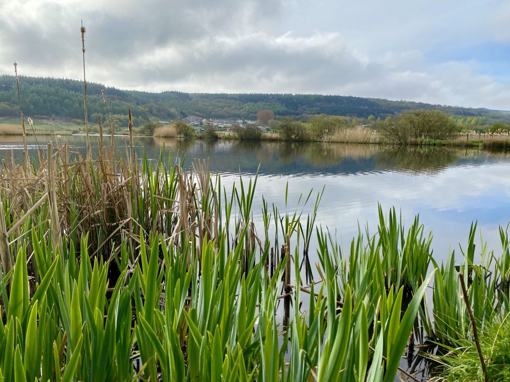
Margrove Ponds Nature Reserve near Boosbeck.
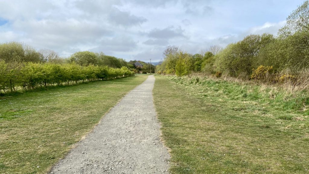
Dismantled railway line between Slapewath and Boosbeck.
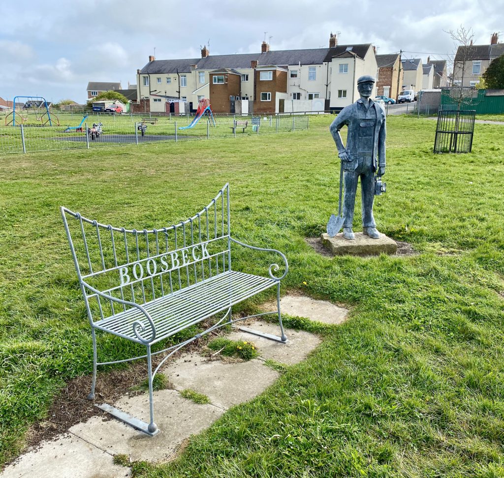
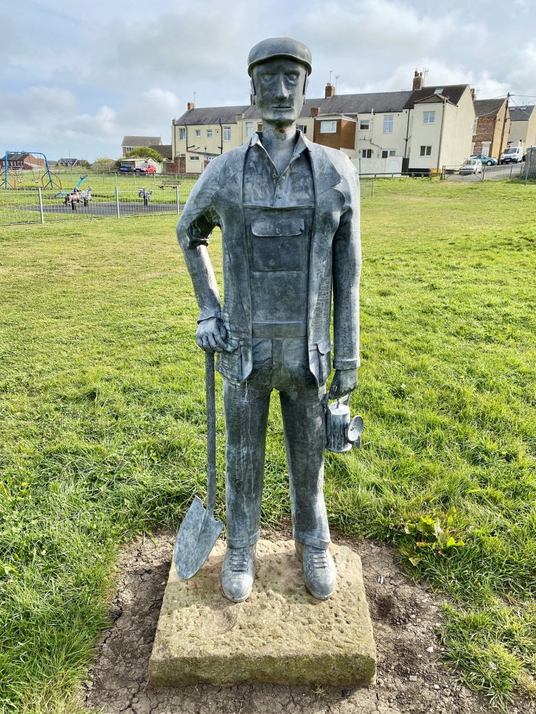
Playing fields in Boosbeck village centre. Close to the statue of the miner is a filled mine shaft, which was 90 metres deep and four metres in diameter.
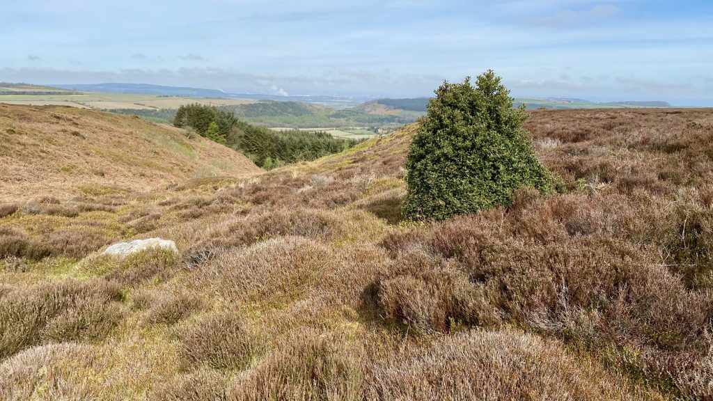
Looking down Woodhill Gill from Woodhill Gill Head. Teesside can be seen in the far distance.
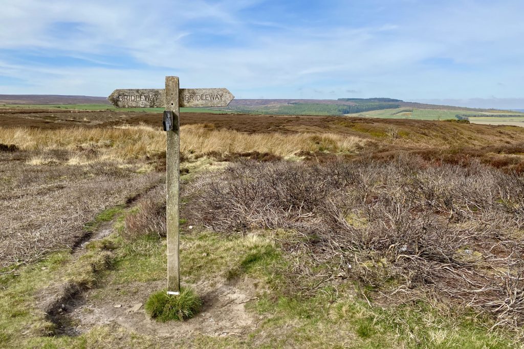
Woodhill Gill Head on Stanghow Moor.
The Quakers’ Causeway (Path) across High Moor.
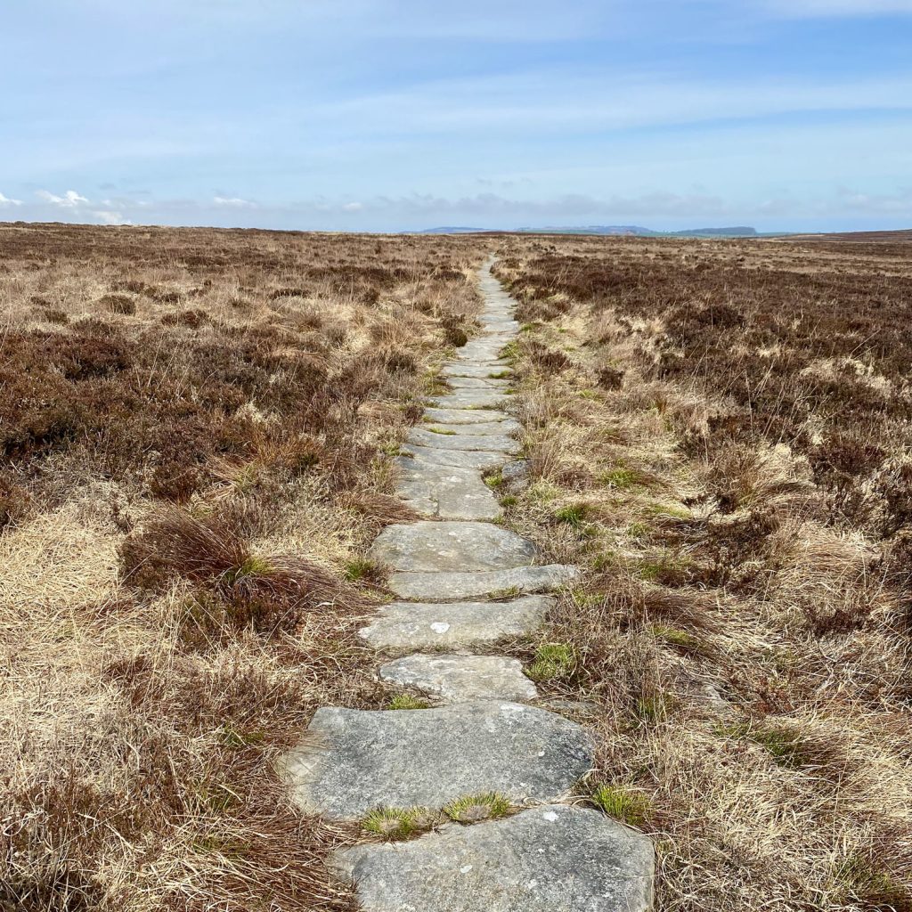
Lockwood Beck Reservoir as seen from the Quakers’ Causeway on High Moor.
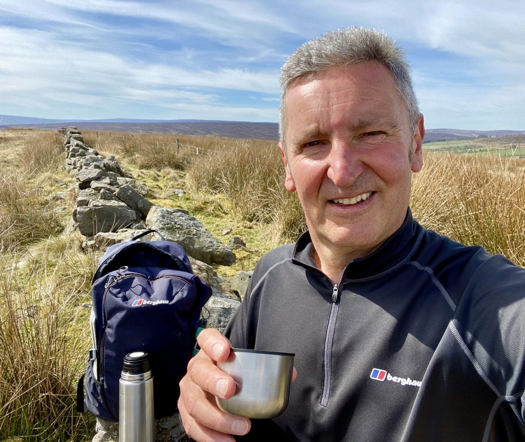
Time for coffee near Sand Hill, just north-east of Commondale.
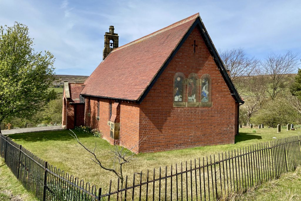
St Peter’s Church, Commondale.
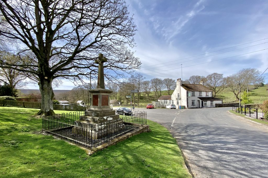
Commondale village green.
Farmland between Foul Green and Moorside, south-east of Commondale.
The Esk Valley Railway between Commondale and Castleton.
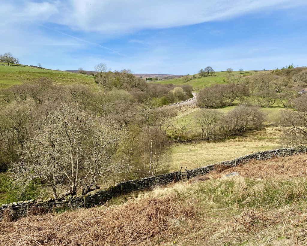
Looking down into the Commondale Beck valley west of Castleton.
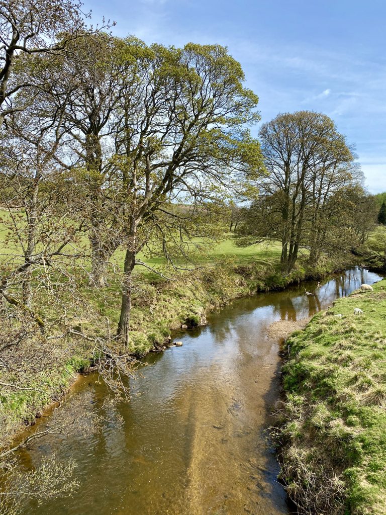
The River Esk in Castleton.
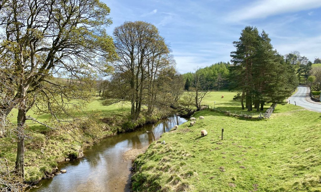
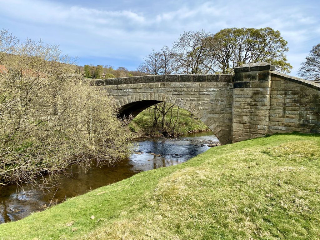
The Castleton road bridge across the River Esk.
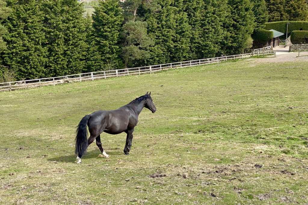
Horses’ field on the western edge of Castleton.
Farmland near Hare Slack House, Castleton.
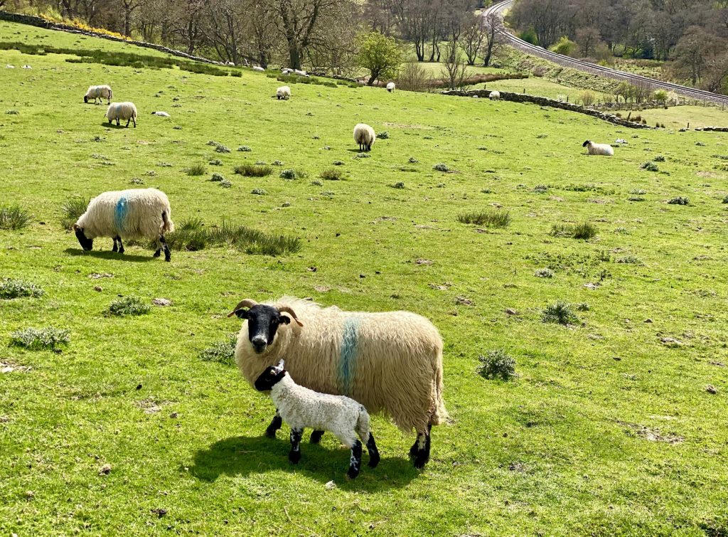
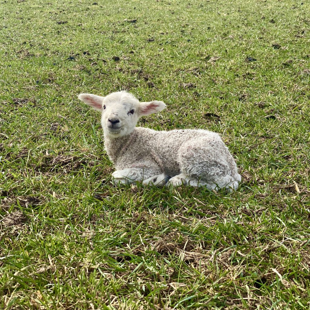
One of many very young lambs on Thornhill Farm.
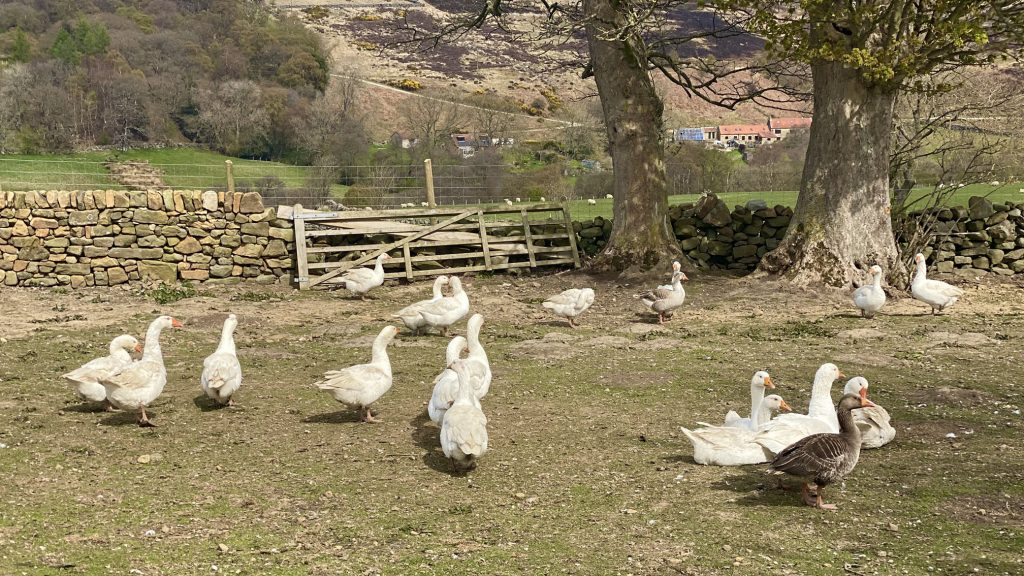
A gaggle of geese on Westgate Farm.
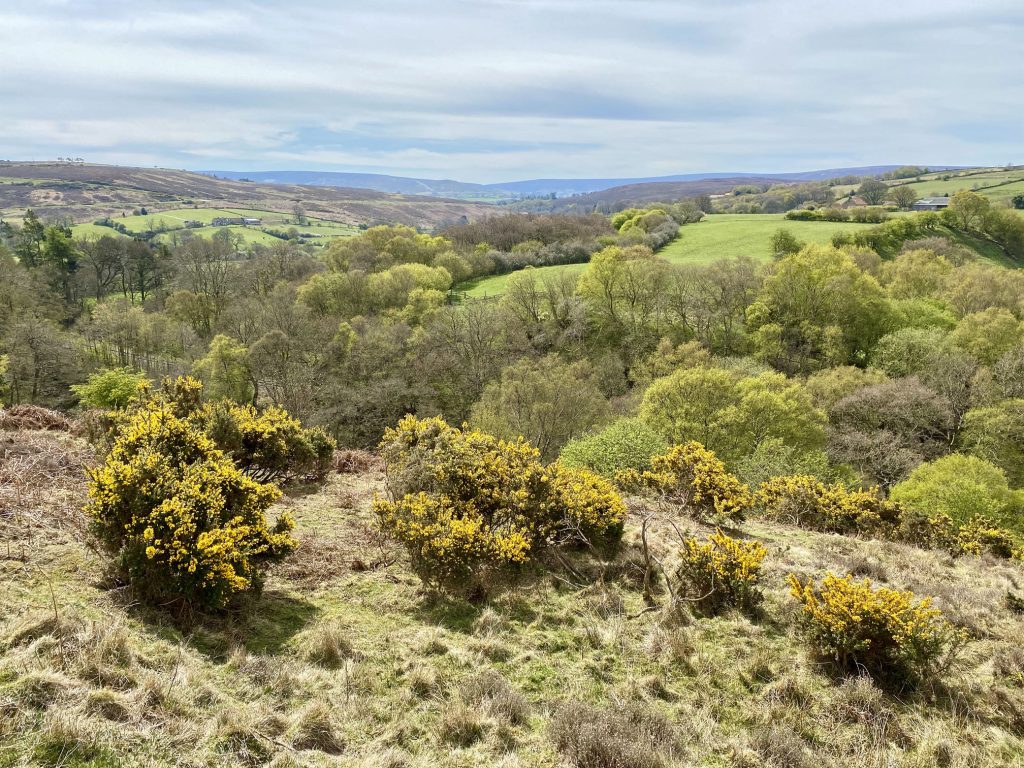
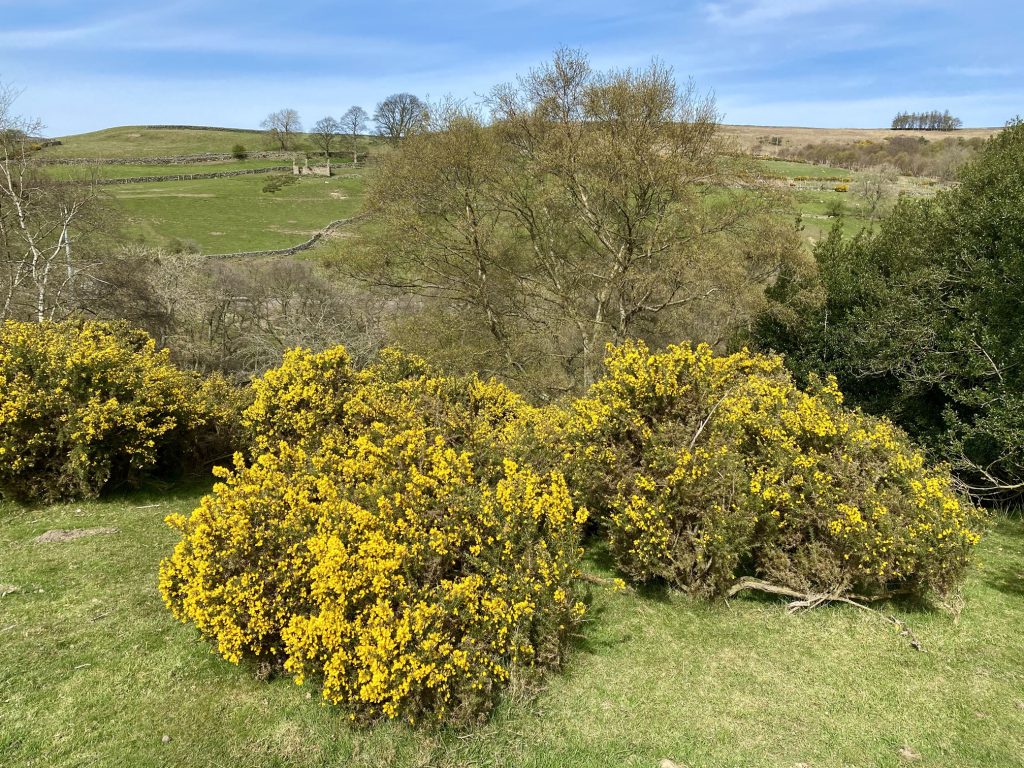
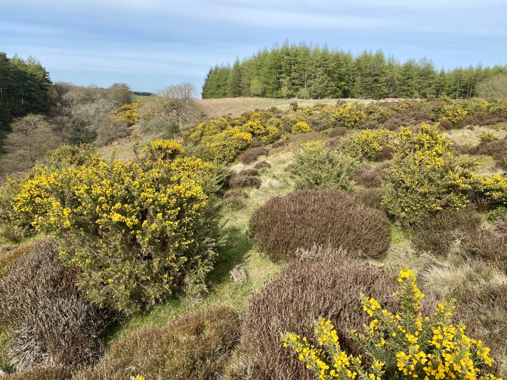
Common gorse with its distinctive needle-like leaves and yellow flowers.
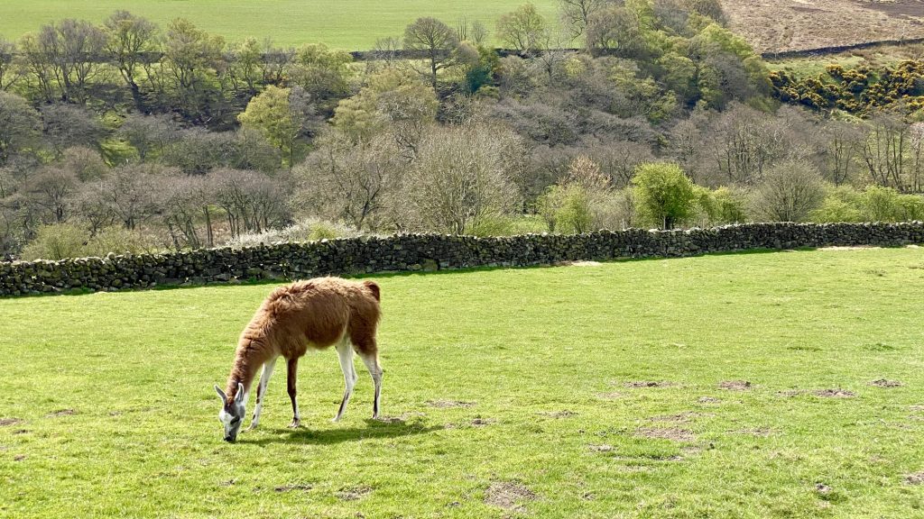
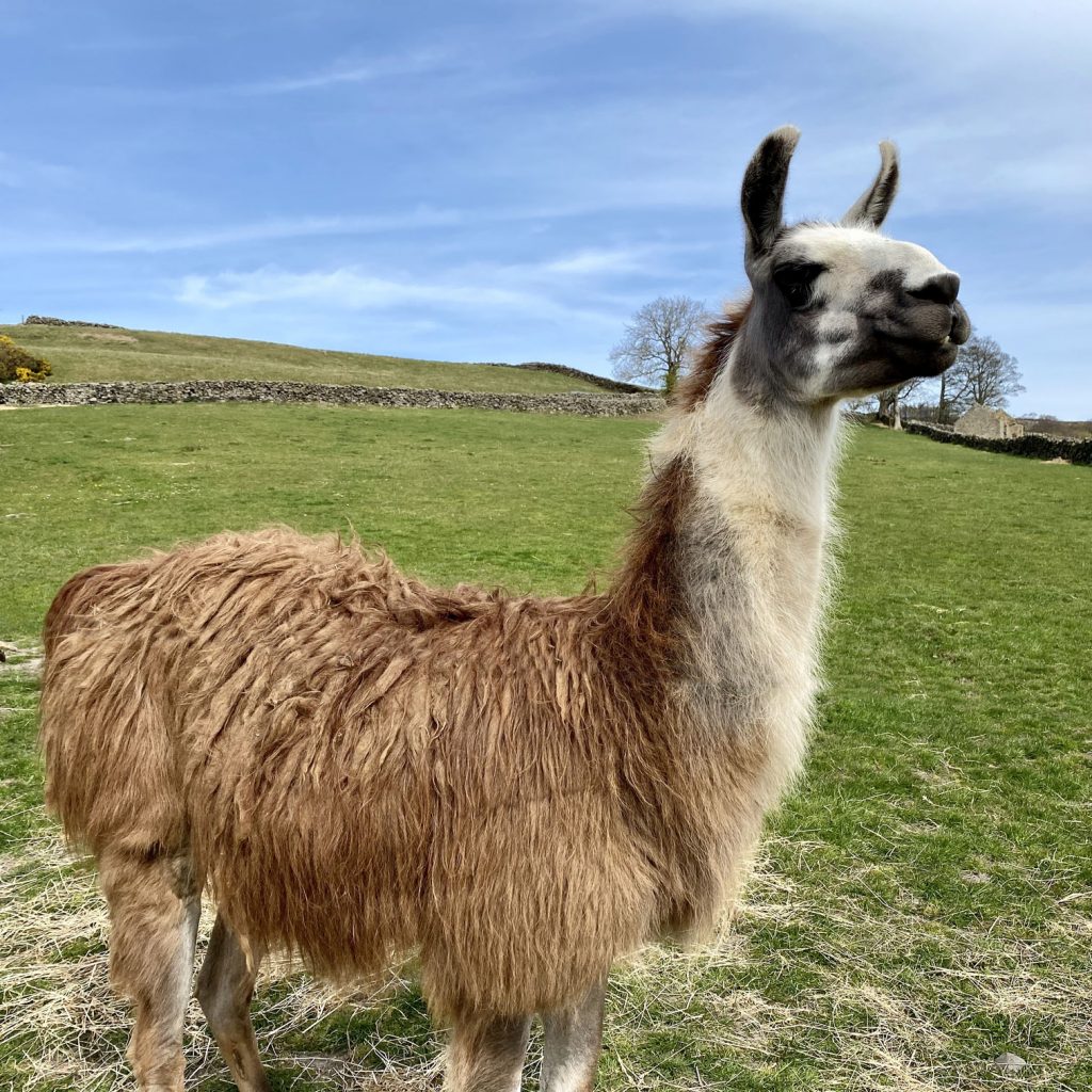
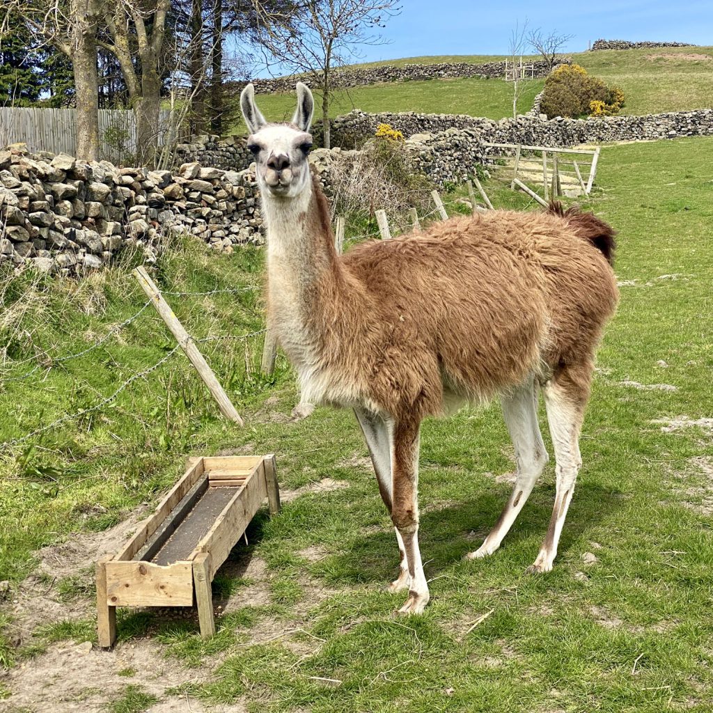
Llamas on Foul Green Farm, Commondale.
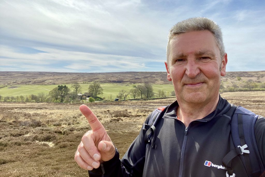
The view south-west towards North Ings. I intended to be down there but took a wrong turning.
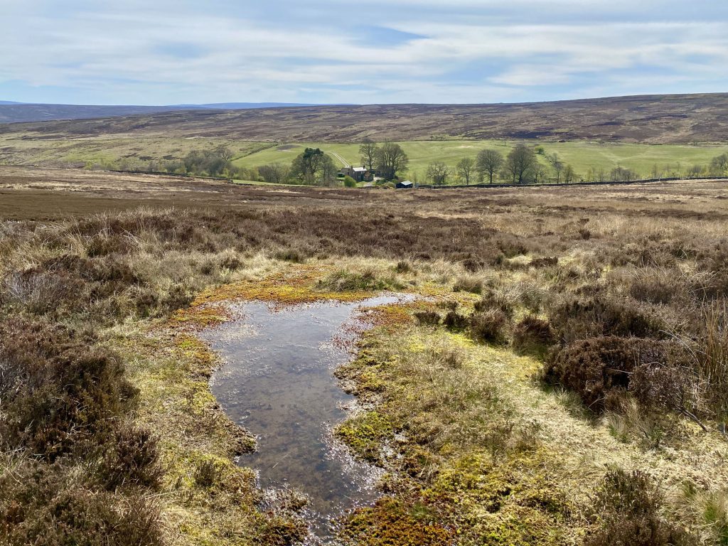
North Ings farmland backed by North Ings Moor.
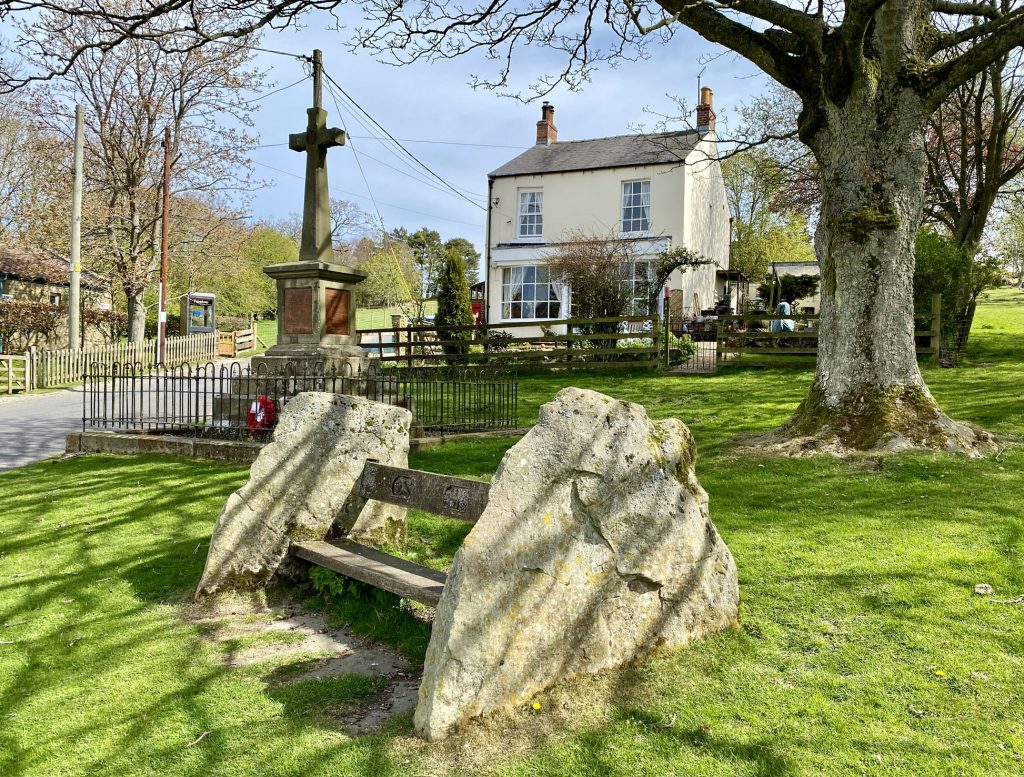
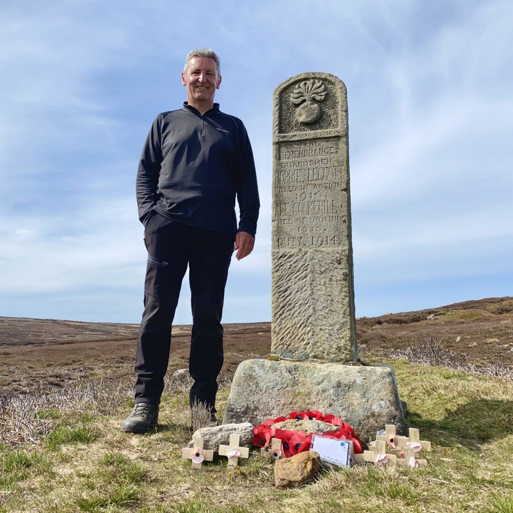
War memorial on Commondale Moor. The inscription reads:
FOR REMEMBRANCE. GUARDSMEN ROBBIE LEGGOTT KILLED IN ACTION 1916. ALF COCKERILL DIED OF WOUNDS 1920. DUTY 1914.
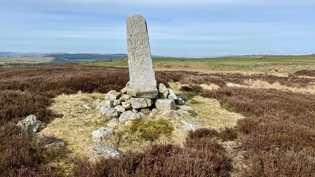
Late 18th century boundary stone between Gisborough Moor and High Moor. The face is inscribed:
RC HOB CROSS 1798
A lovely spot on the eastern periphery of Westworth Wood.
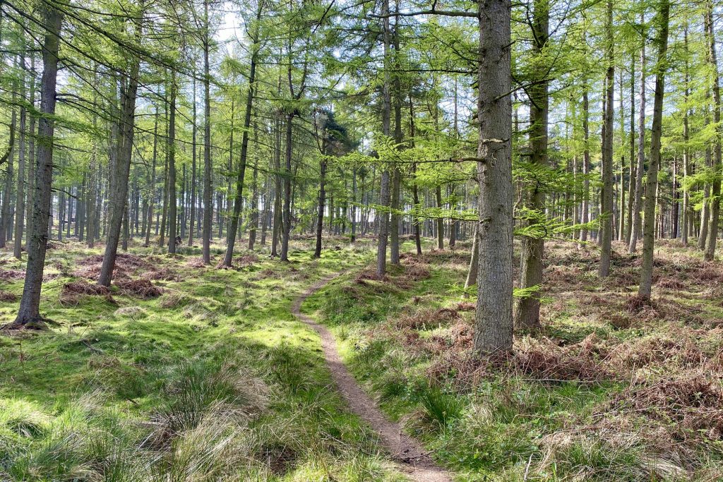
The path through Westworth Wood.
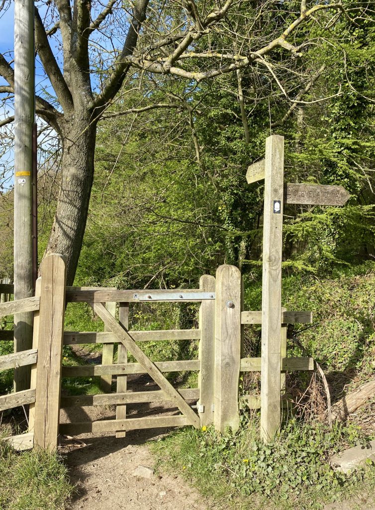
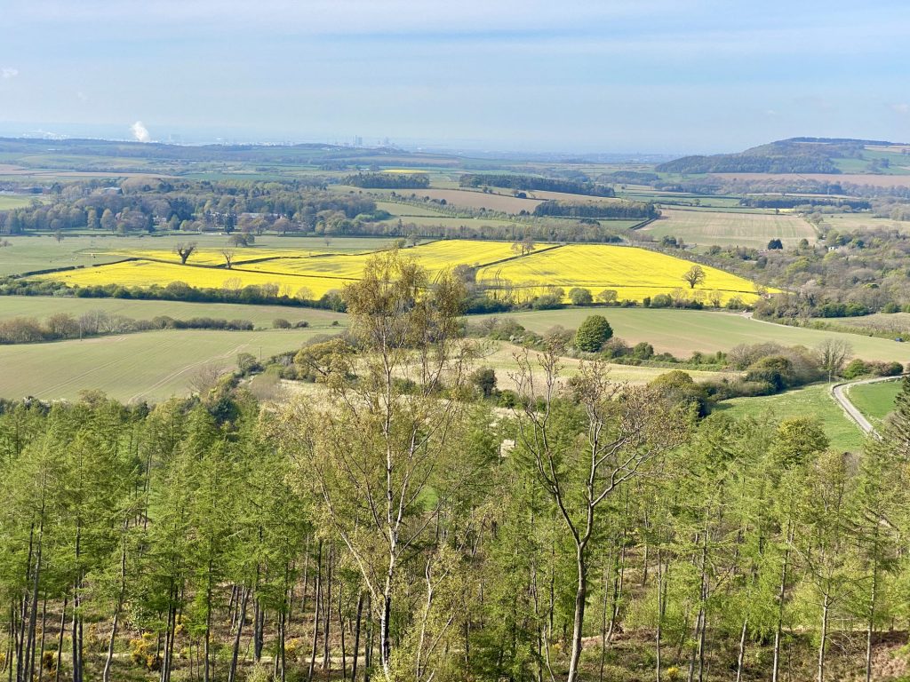
Looking over towards Teesside from the Cleveland Way above Guisborough Woods.
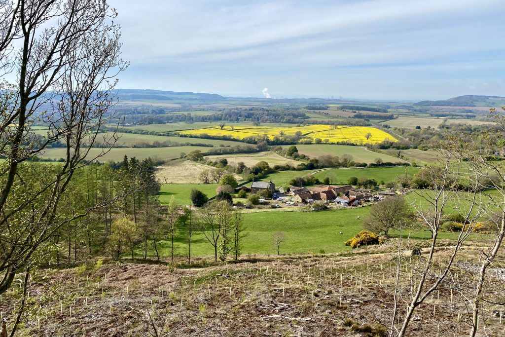
Old Park Farm with Redcar, Teesside and the North Sea in the distance.
The route of the Cleveland Way through Spa Wood back to Boosbeck.