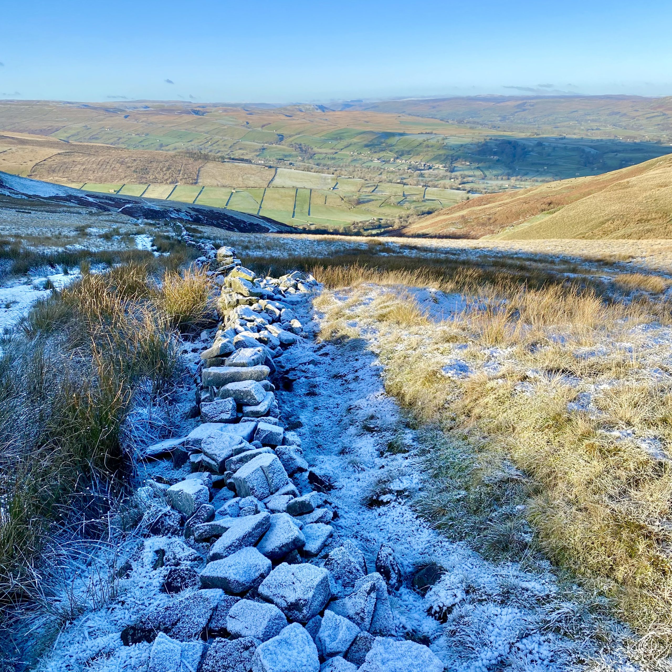
South-east from West Witton up to Capplebank Plantation then west to Penhill Farm. Briefly south from the farm along the minor road followed by a westerly climb to Penhill Beacon. Further west alongside the wall above Penhill Scar and Black Scar before gradually turning south-west to reach the summit of Height of Hazely. South across Burton Outstay, west down to Cote Bridge and north via Riddings to the village of West Burton. Finally north-east by way of Morpeth Gate and east along Green Gate back to the starting point. An 11-mile walk in the Yorkshire Dales.
Recommended Ordnance Survey Map
The best map to use on this walk is the Ordnance Survey map of the Yorkshire Dales Northern & Central Area, reference OS Explorer OL30, scale 1:25,000. It clearly displays footpaths, rights of way, open access land and vegetation on the ground, making it ideal for walking, running and hiking. The map can be purchased from Amazon in either a standard, paper version or a weatherproof, laminated version, as shown below.
Standard Version
The view west towards Thoralby from the bridleway between Height of Hazely and Harland Hill.
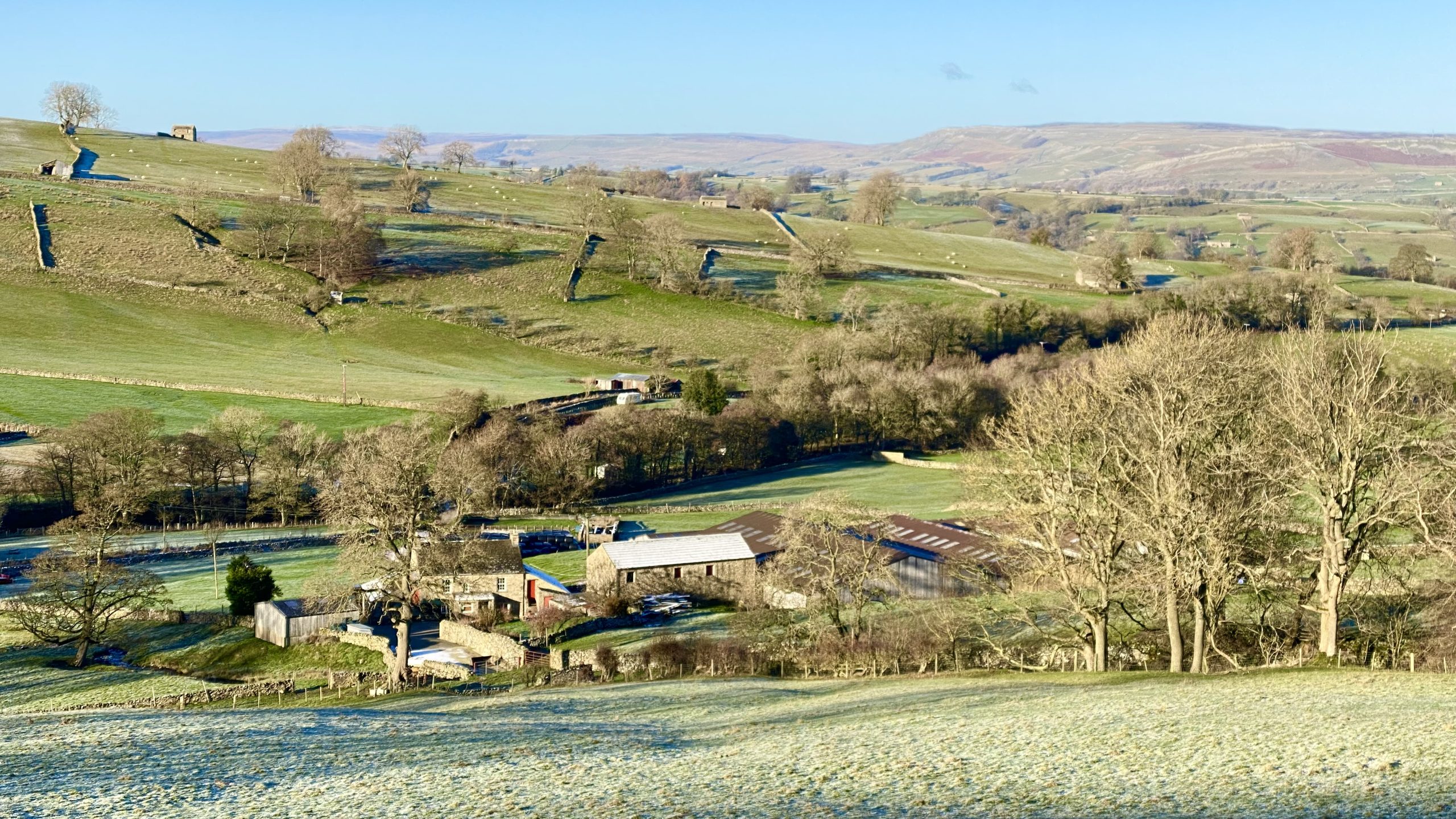
Farm buildings at Cote about ¾ mile south of West Burton.
The track down to the Braithwaite Lead Smelt Mill at Cote. The chimney, a short length of horizontal flue and some foundations are all that remain of the mill.
Locally mined lead ore was converted into metallic lead in a furnace called an ore hearth. Peat, dried wood and coal were the fuel for this smelting process. An air blast, to raise the temperature of the furnace, came from bellows powered by a large waterwheel. Poisonous fumes were taken away by the flue and chimney.
A working shift of between 12 and 15 hours produced about one ton of lead. The mill was last used in the 1870s.

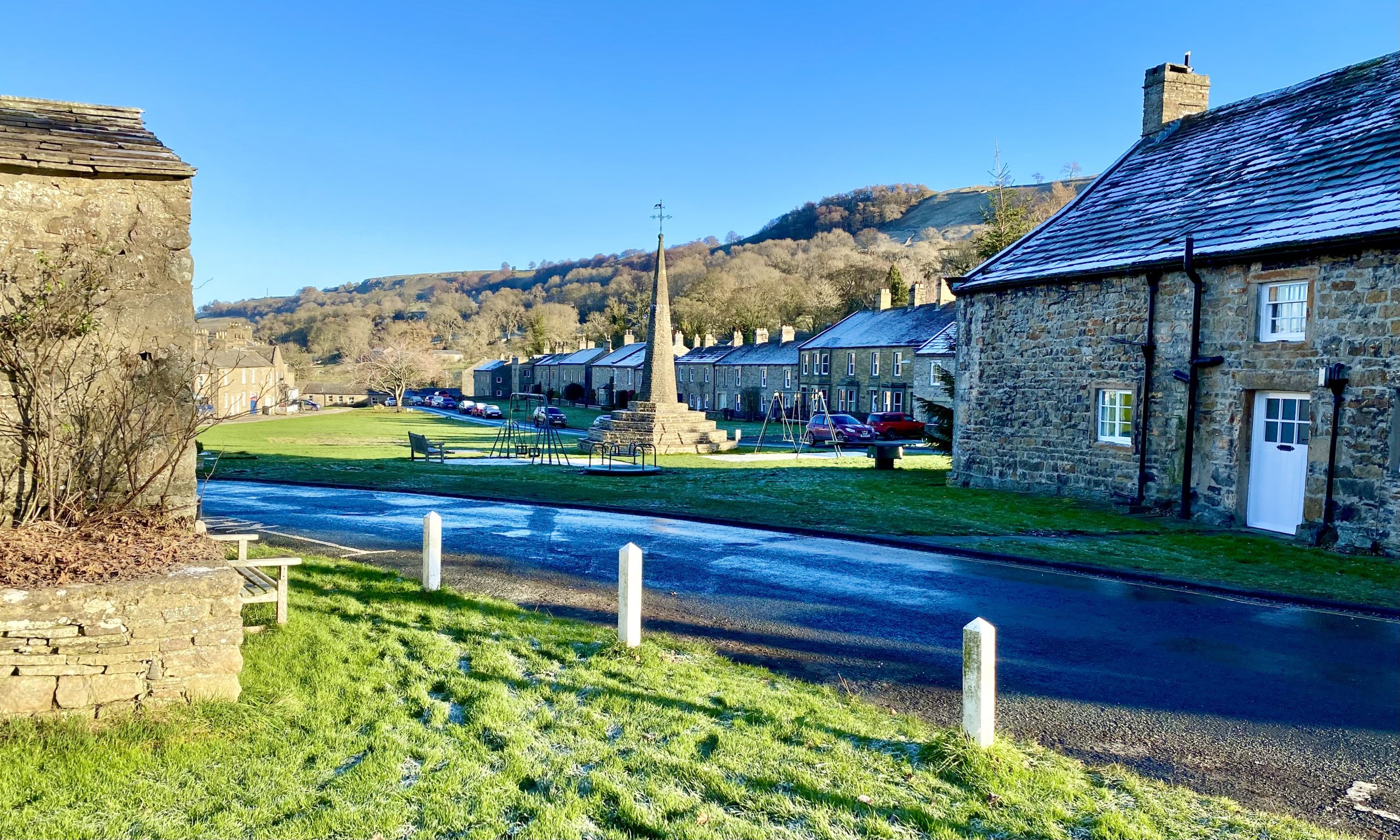
The village of West Burton in Bishopdale.
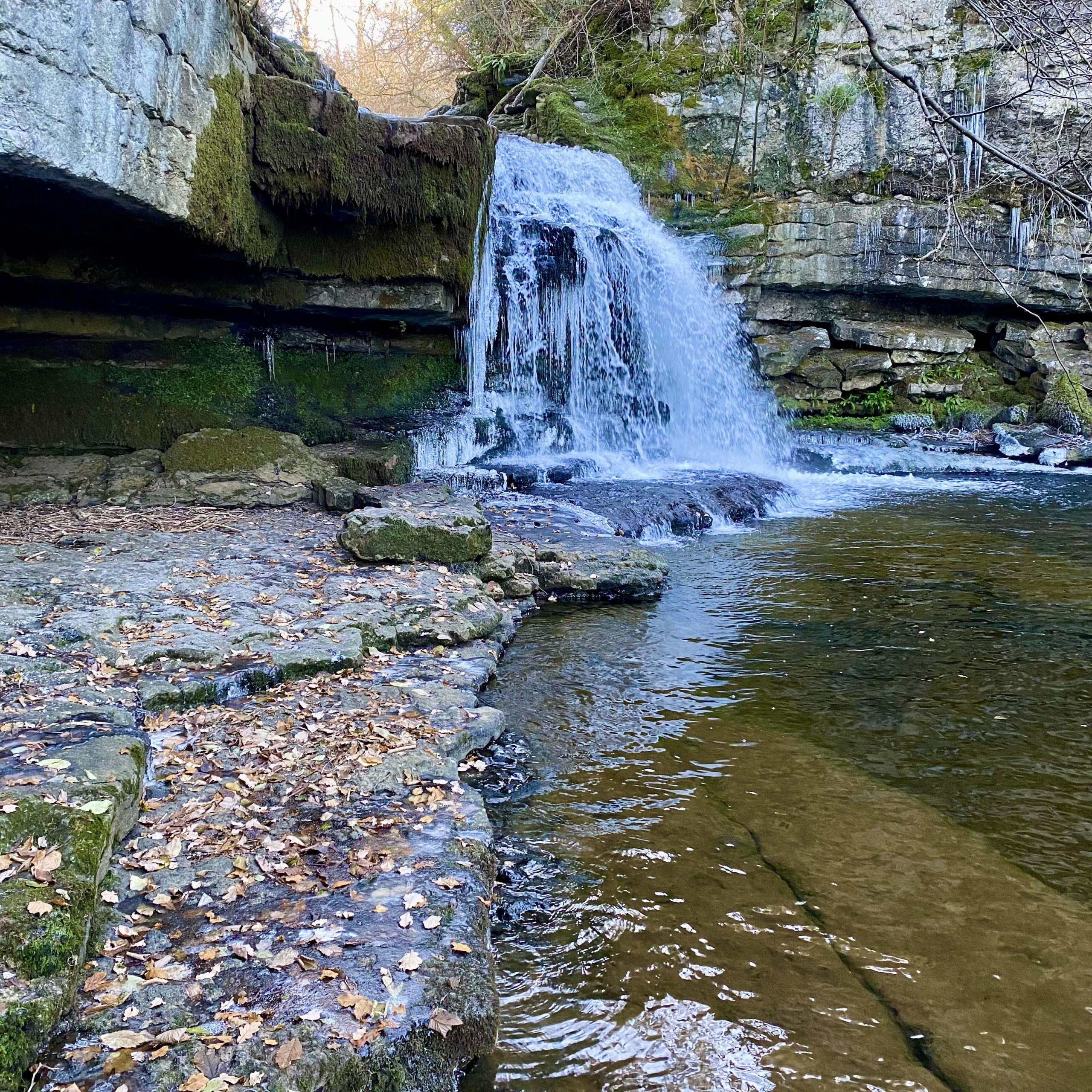
One of the spots painted by Turner on his travels in the Yorkshire Dales. This popular waterfall at West Burton, created by Walden Beck, is known as Cauldron Falls because of its beautiful plunge pool.
The source of Walden Beck is on Walden Moor high up on the north-eastern slopes of Buckden Pike about seven miles to the south-west. After West Burton it meets Bishopdale Beck which flows into the River Ure a couple of miles north of the village.

Burton Bridge, West Burton, which crosses Walden Beck on the north side of the village.

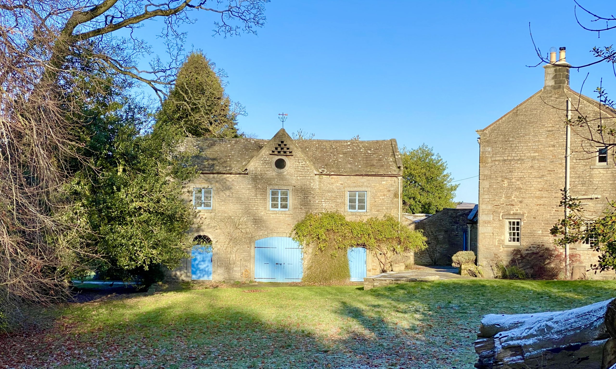
Looking over the wall into the grounds of Flanders Hall, an 18th-century, Grade 2 listed Georgian country house near Burton Bridge, West Burton.