East from Grinton to Marrick via the River Swale and Marrick Priory, followed by a long north-west trek across Fremington Edge to Slei Gill. South-east following the course of Arkle Beck to Cuckoo Hill, on to High Fremington in the same direction, and finally returning south to the starting point. An 11-mile walk in the Yorkshire Dales.
Recommended Ordnance Survey Map
The best map to use on this walk is the Ordnance Survey map of the Yorkshire Dales Northern & Central Area, reference OS Explorer OL30, scale 1:25,000. It clearly displays footpaths, rights of way, open access land and vegetation on the ground, making it ideal for walking, running and hiking. The map can be purchased from Amazon in either a standard, paper version or a weatherproof, laminated version, as shown below.
Standard Version
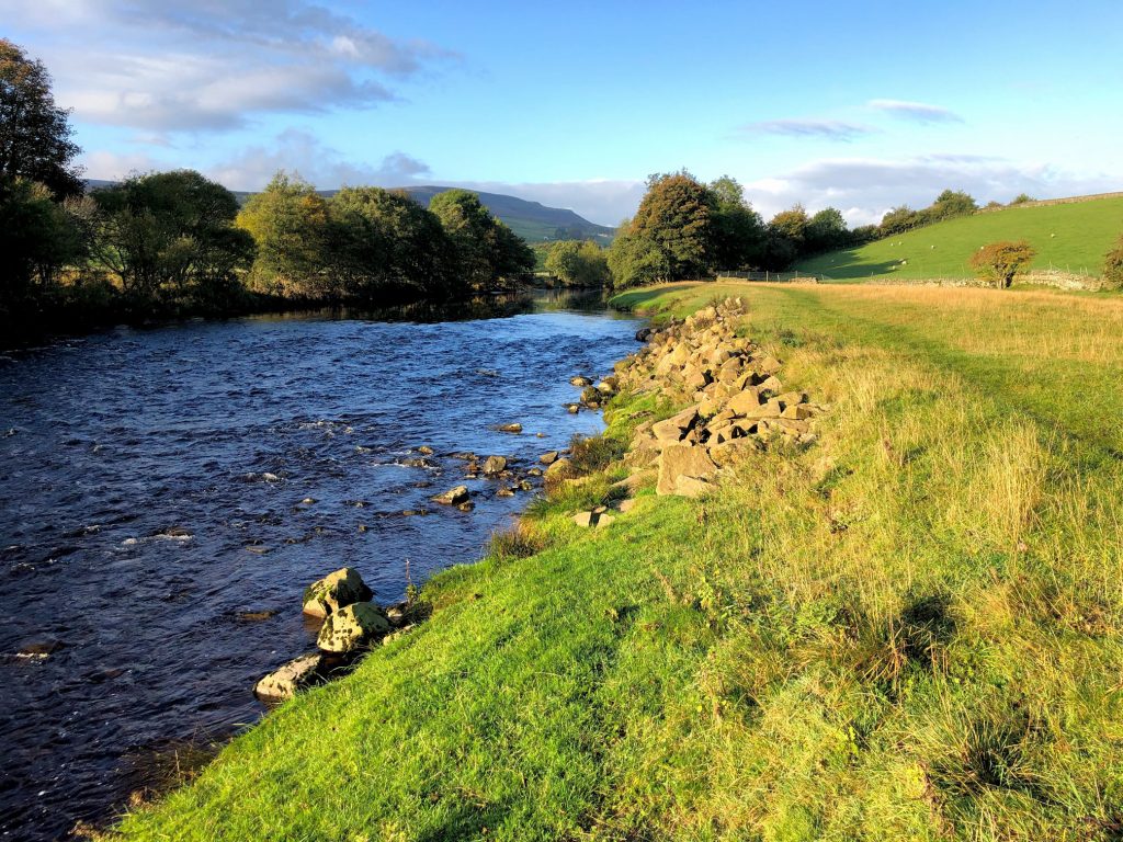
The River Swale just east of Grinton.
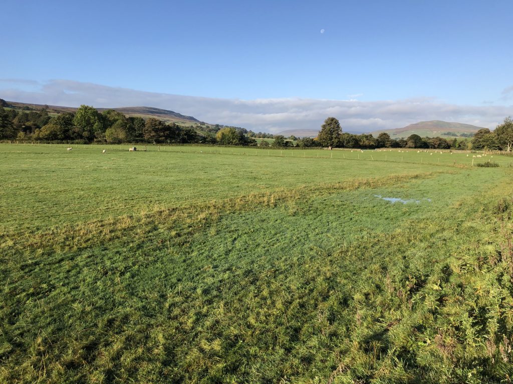
The view west across the River Swale floodplain. In the background, Calver Hill is on the right, High Harker Hill is on the left, and Brownsey Moor is central in the far distance.
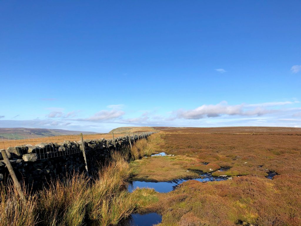
The route along Fremington Edge, often boggy or waterlogged.
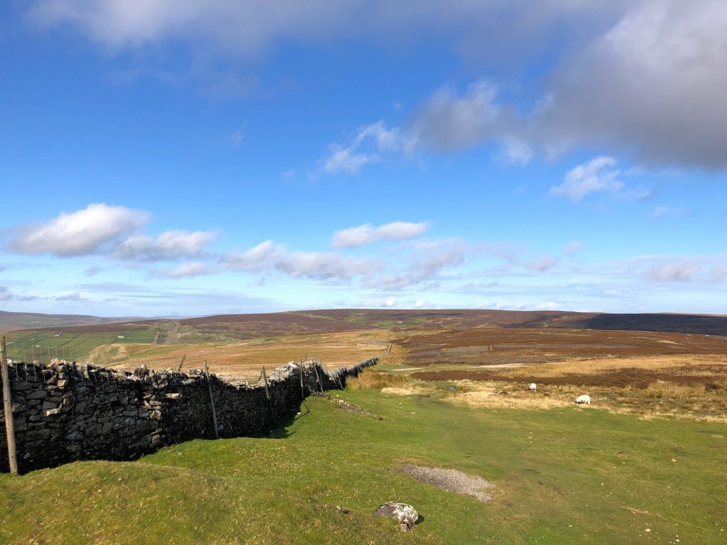
The view west from Fremington Edge Top towards the tiny hamlet of Booze.
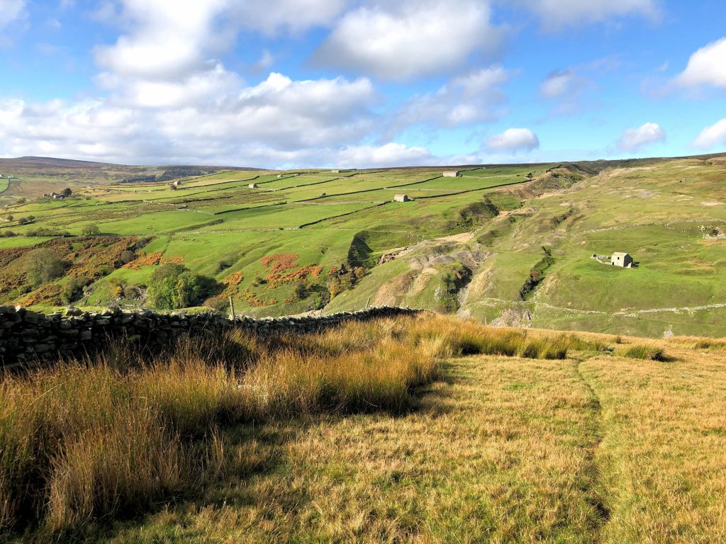
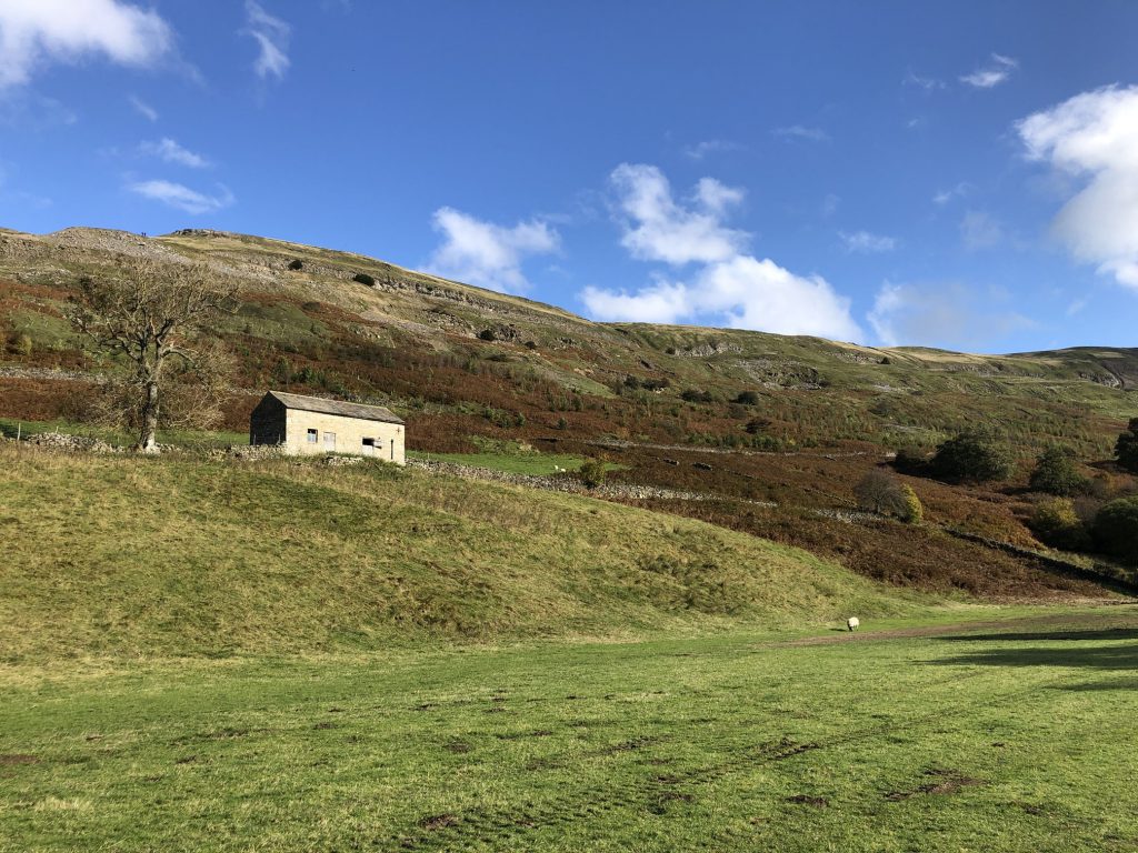
Field systems and old barns on the hillside just above Booze.
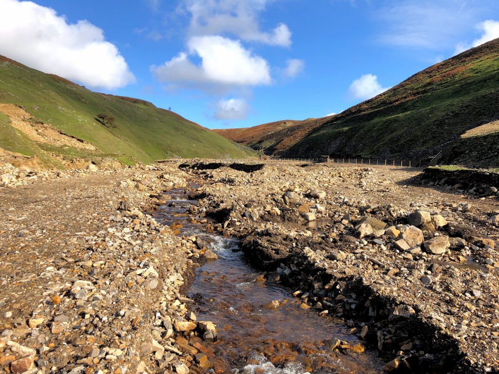
Human intervention in the Slei Gill valley. I’m not sure what has been achieved here by laying all this rock, but I reckon it’s something to do with flooding.
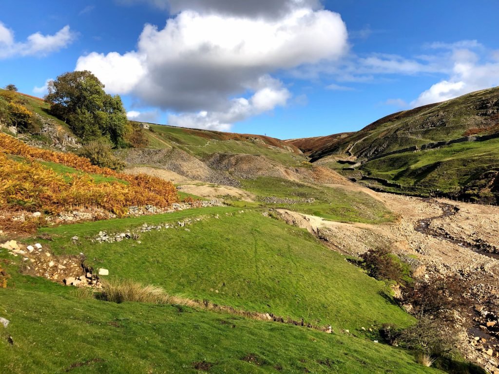
The Slei Gill valley, with spoil heaps left over from the lead mining industry of the 19th century.
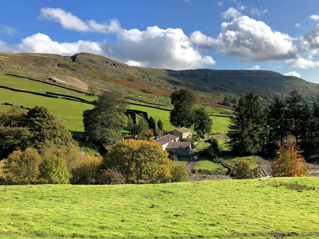
Looking down on Storthwaite Hall in Arkengarthdale, about a mile east of Langthwaite.
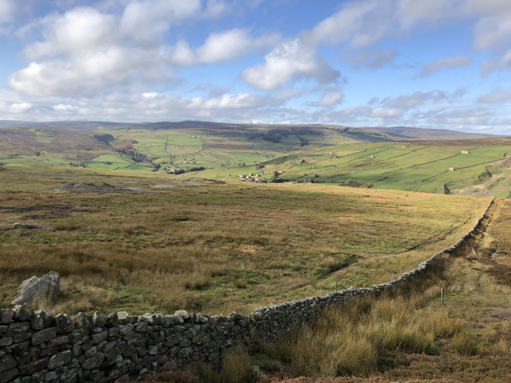
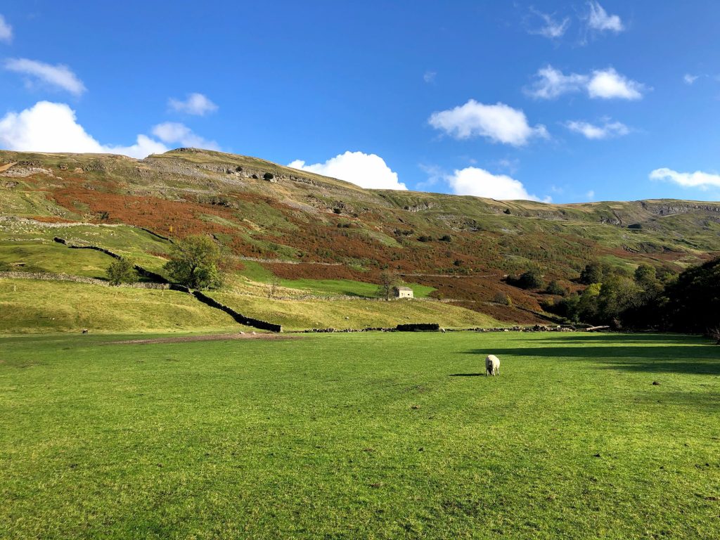
The sun beautifully lights up the Arkengarthdale valley floor and the hillside below Fremington Edge.
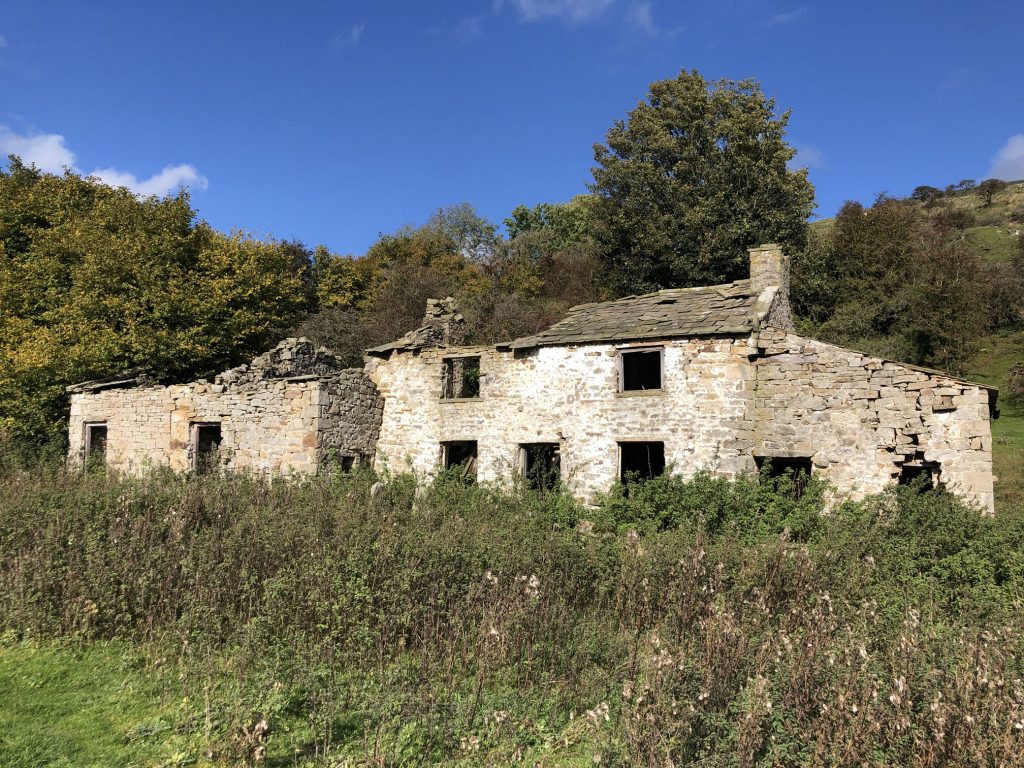
A ruined farmhouse near Castle.
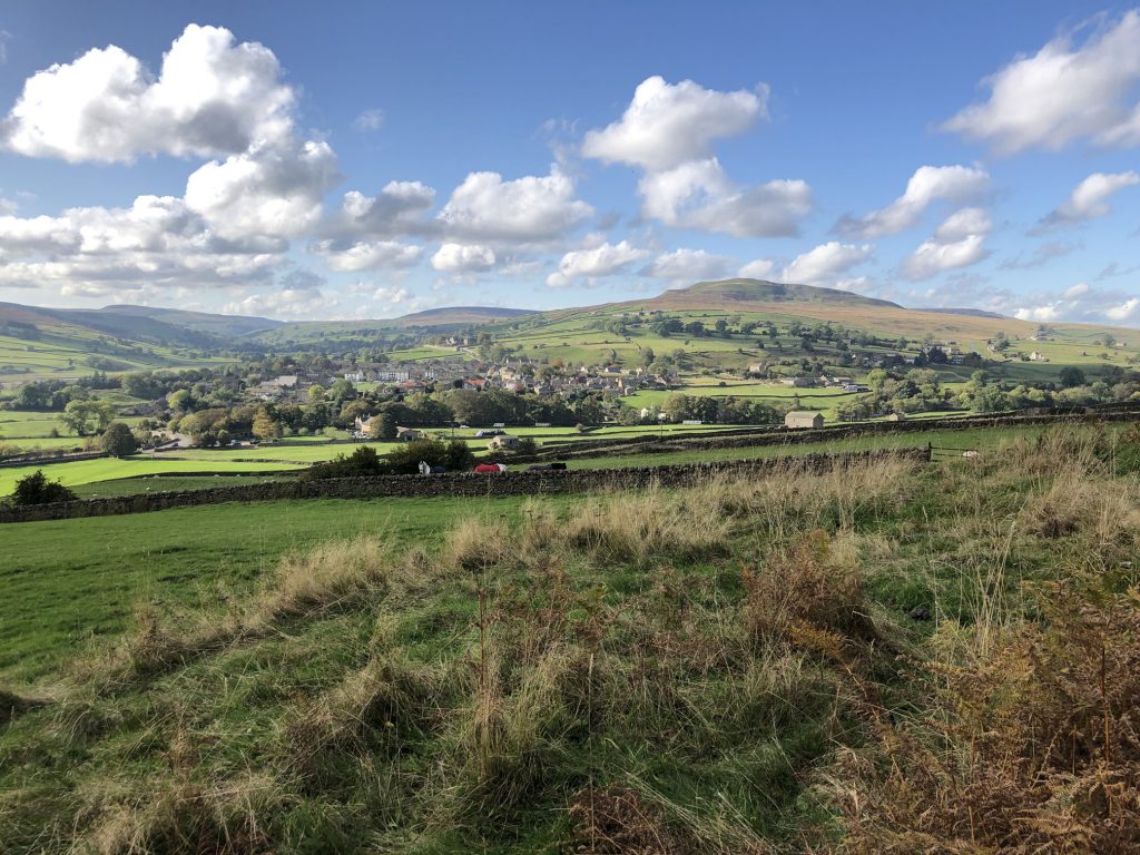
Looking west towards Reeth from High Fremington.