North-east from Bridlington along the coastal path to Flamborough Head, passing Sewerby Rocks and South Landing. North-west along the coastline to Bempton Cliffs, passing North Landing and Thornwick Bay. South to the village of Bempton, and finally back to Bridlington by way of minor roads. An 18-mile walk along the Yorkshire Coast.

The best map to use on this walk is the Ordnance Survey map of Scarborough, Bridlington & Flamborough Head, reference OS Explorer 301, scale 1:25,000. It clearly displays footpaths, rights of way, open access land and vegetation on the ground, making it ideal for walking, running and hiking. The map can be purchased from Amazon in either a standard, paper version or a weatherproof, laminated version, as shown below.
RECOMMENDED MAP
Standard Ordnance Survey map of Scarborough, Bridlington & Flamborough Head, reference OS Explorer 301, scale 1:25,000.
Buy now on Amazon
View all Ordnance Survey maps
RECOMMENDED MAP
Weatherproof Active Ordnance Survey map of Scarborough, Bridlington & Flamborough Head, reference OS Explorer 301, scale 1:25,000.
Buy now on Amazon
View all Ordnance Survey maps
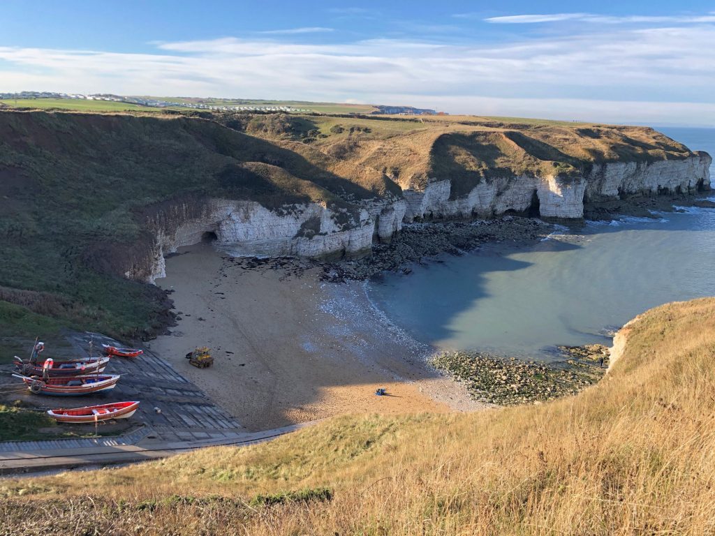
South Landing. Location of the RNLI Flamborough Lifeboat Station.
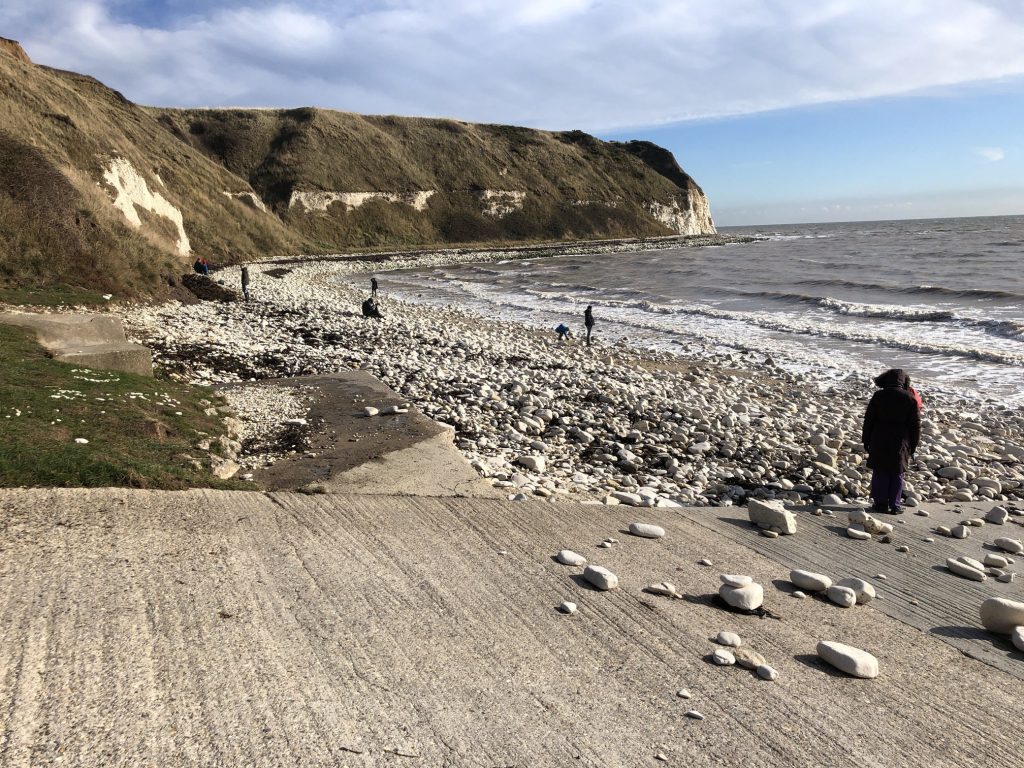
The view south-west towards South Landing and, in the distance, Bridlington.

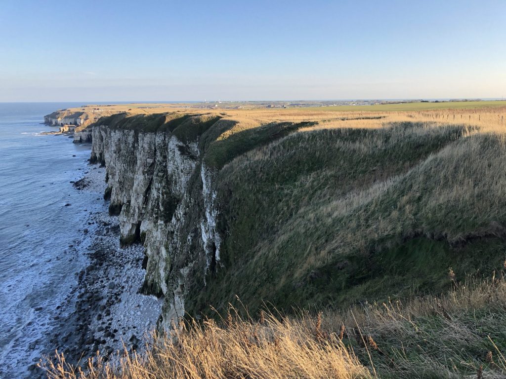
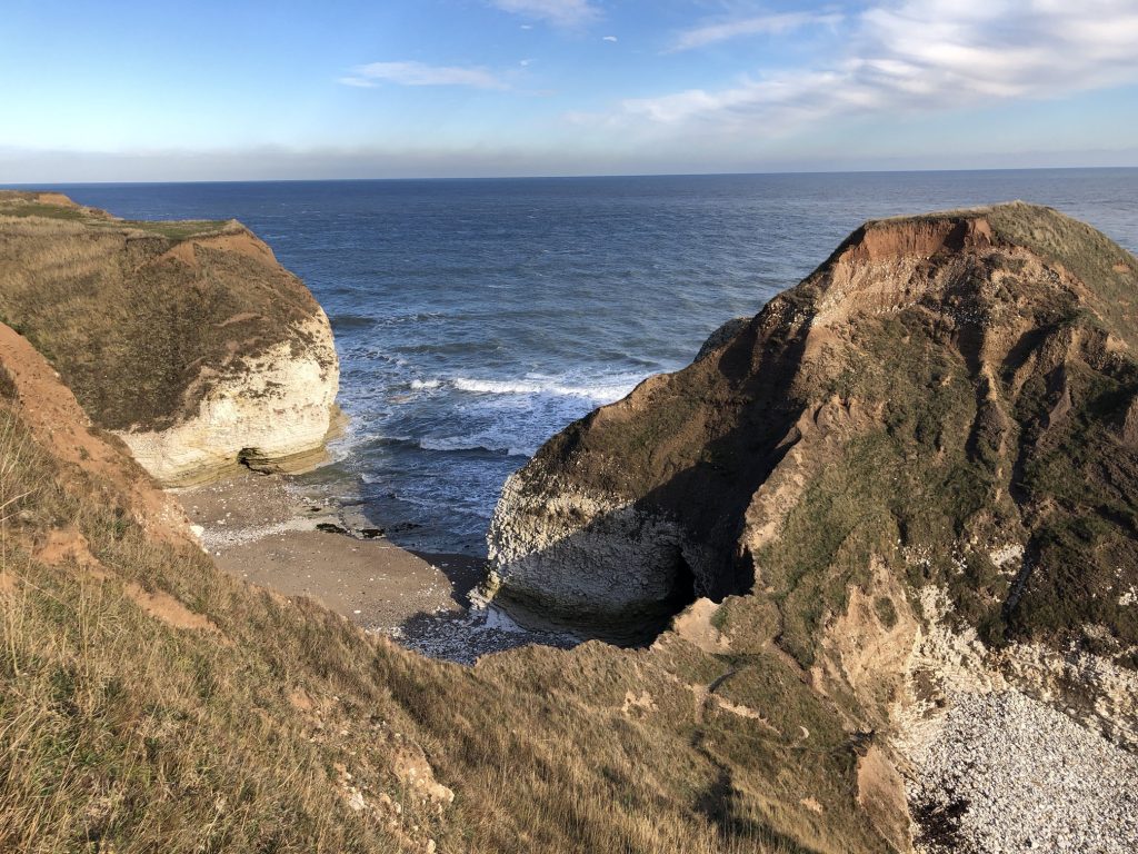
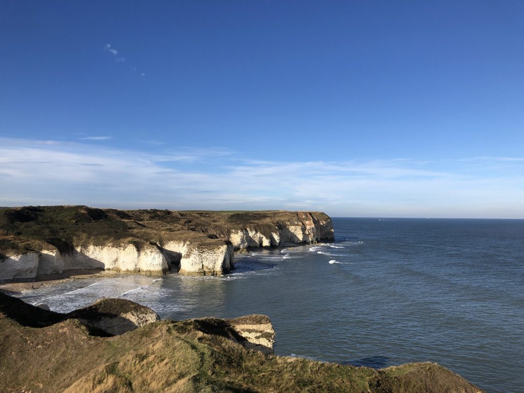
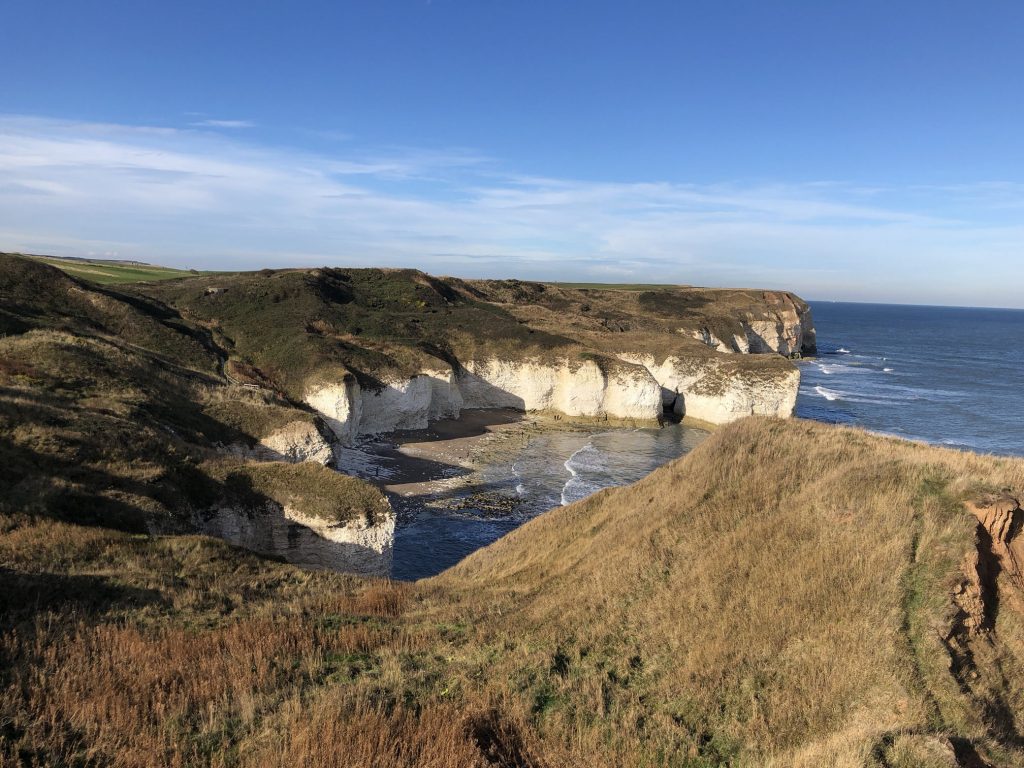
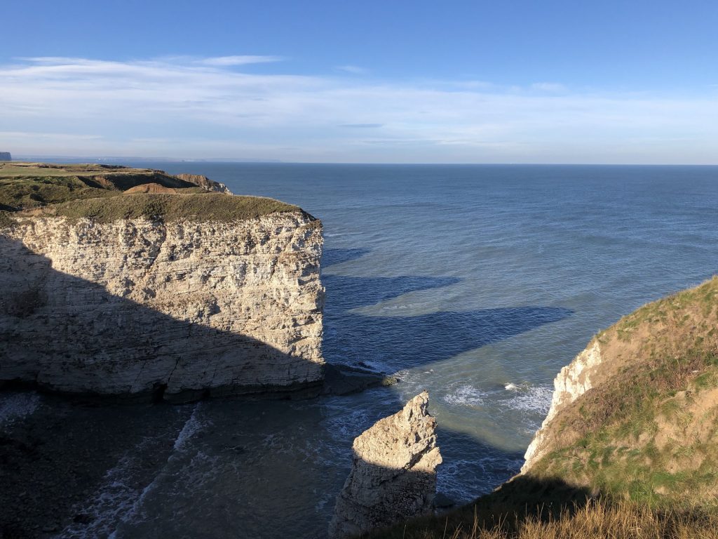
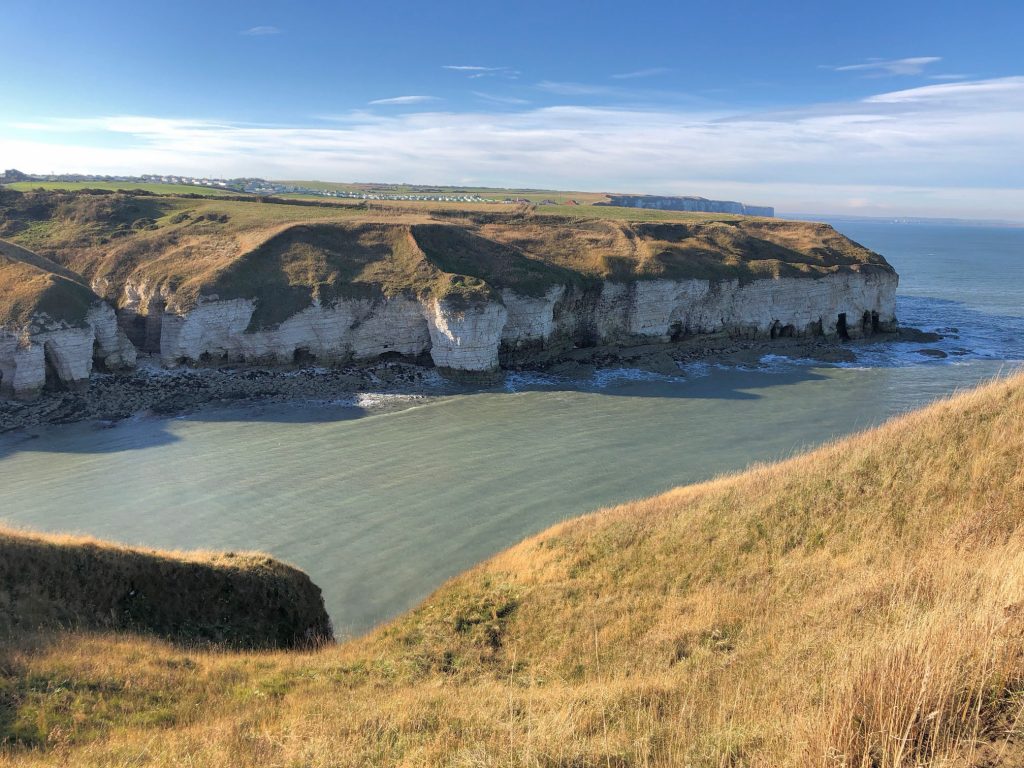
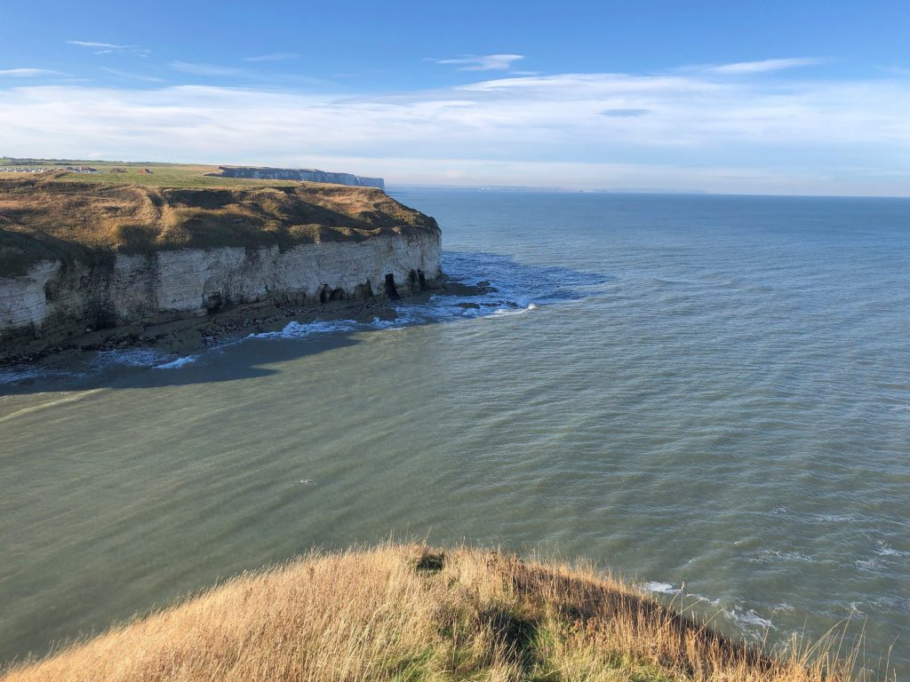
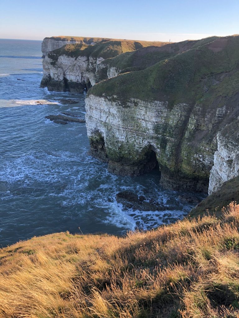
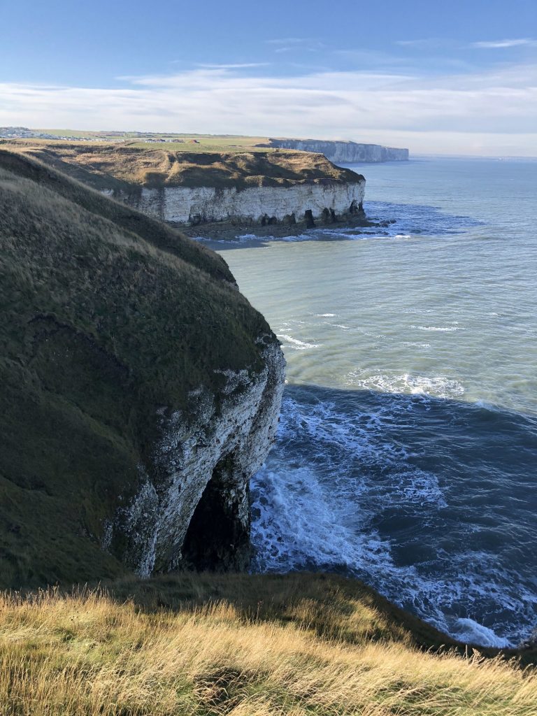
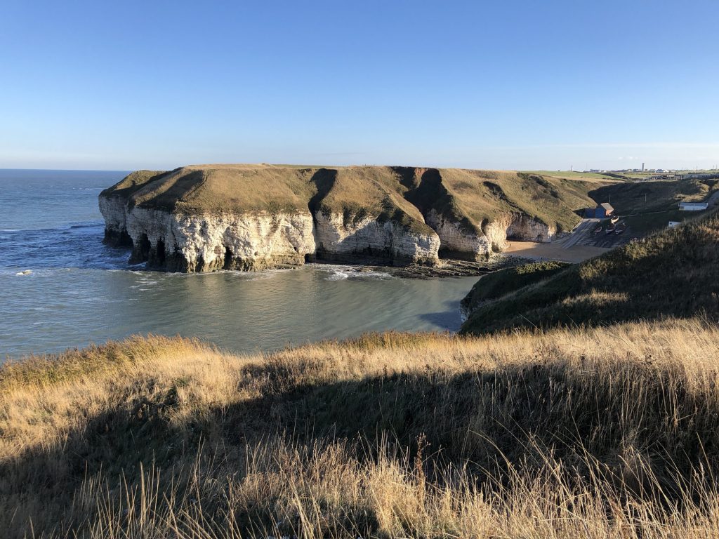
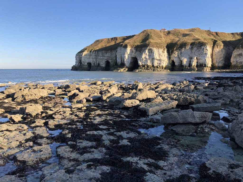
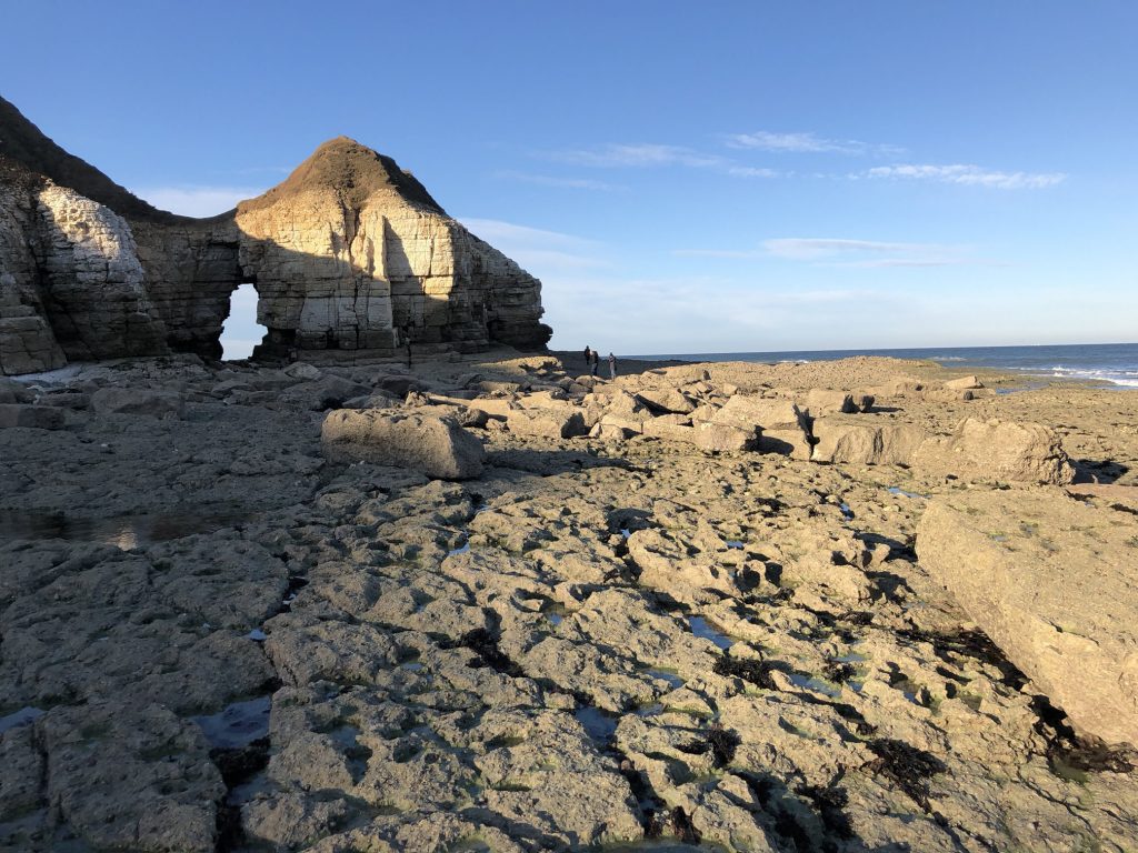
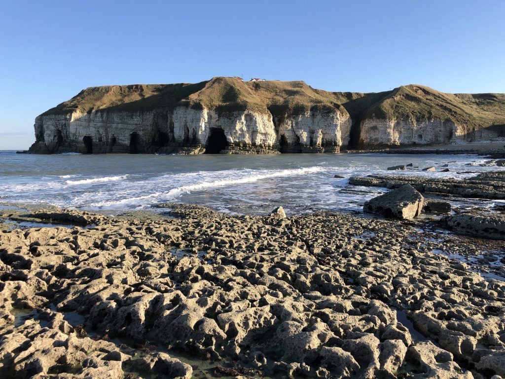
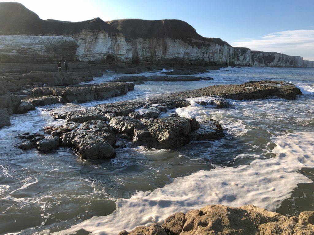
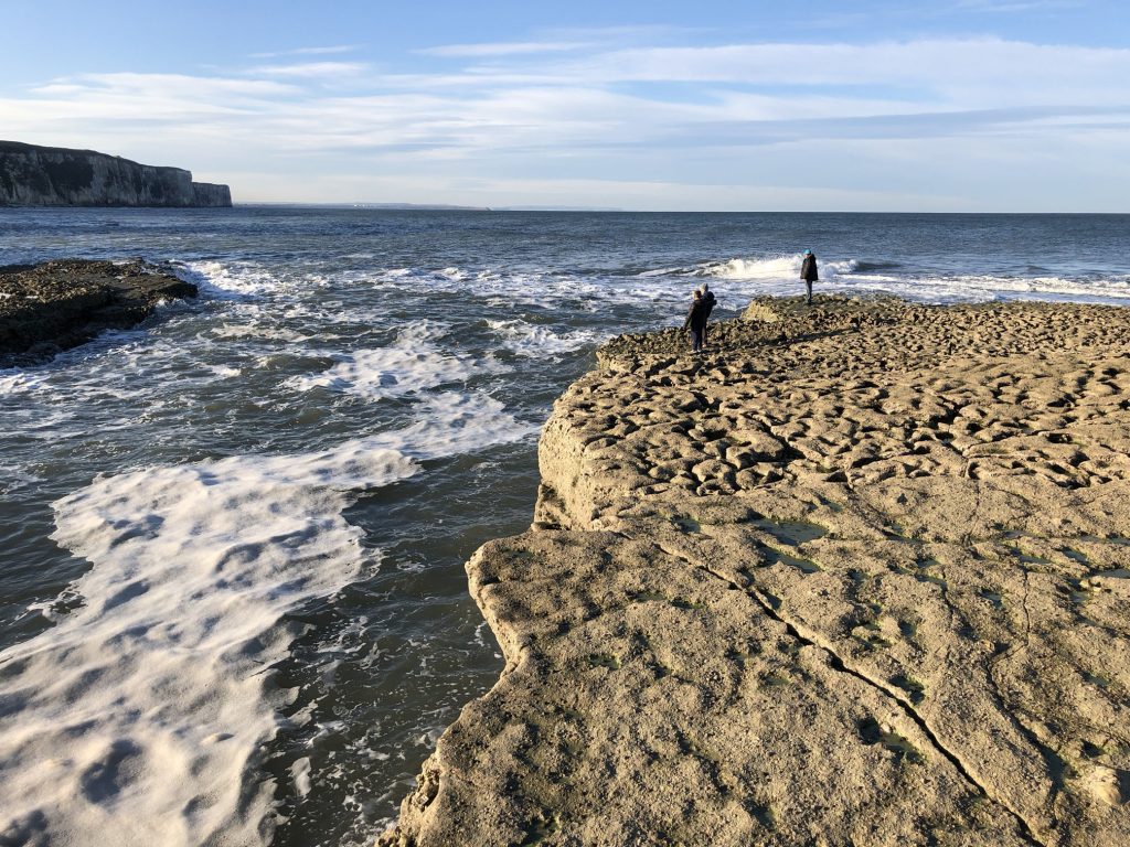
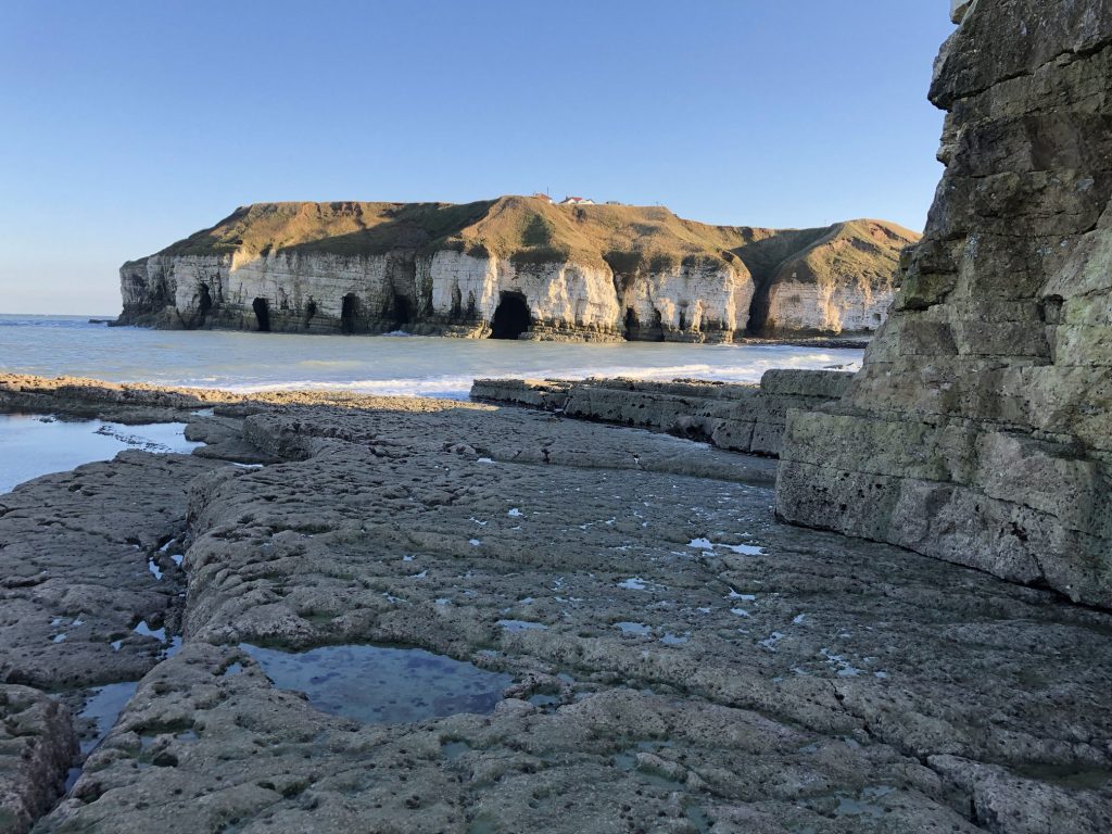
Flamborough Head. Bays, caves, arches, stacks, stumps and wave-cut platforms, all part of the coastal erosion process, feature prominently in this area.
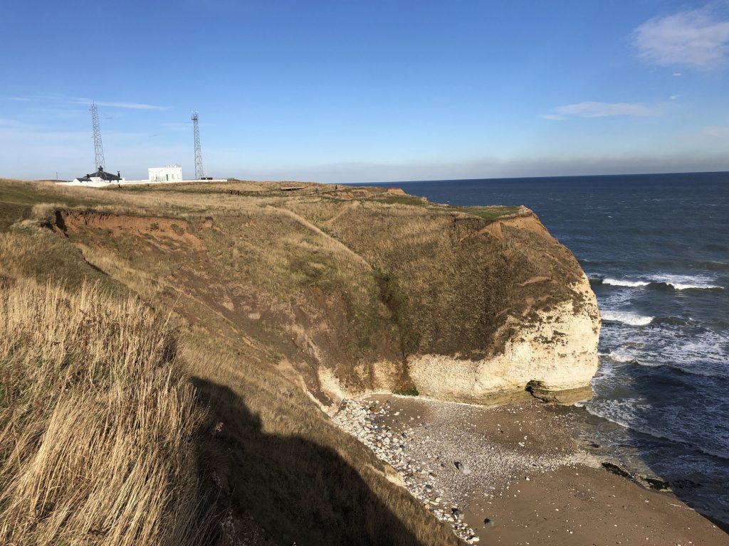

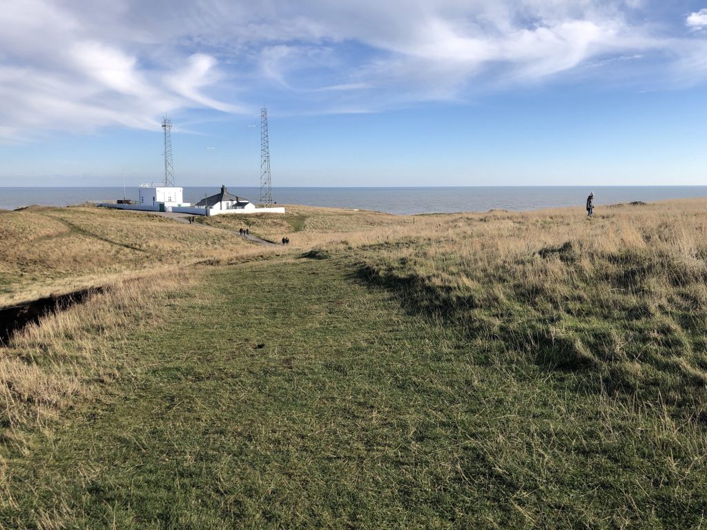
Fog signal station at Flamborough Head.
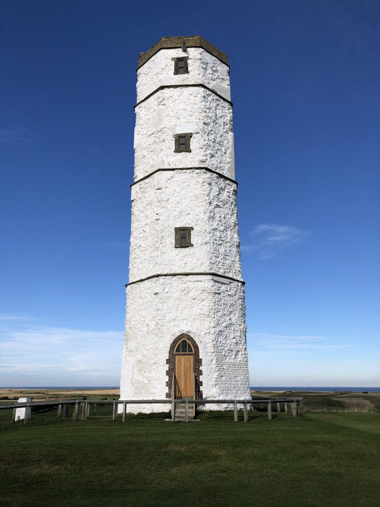
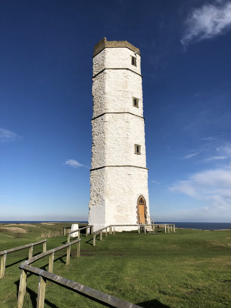
Old Flamborough Lighthouse
The first Flamborough Head lighthouse was built by Sir John Clayton and completed in 1674. It is one of the oldest surviving complete lighthouses in England. Built from chalk, it was never lit. It is now a Grade 2 listed building.
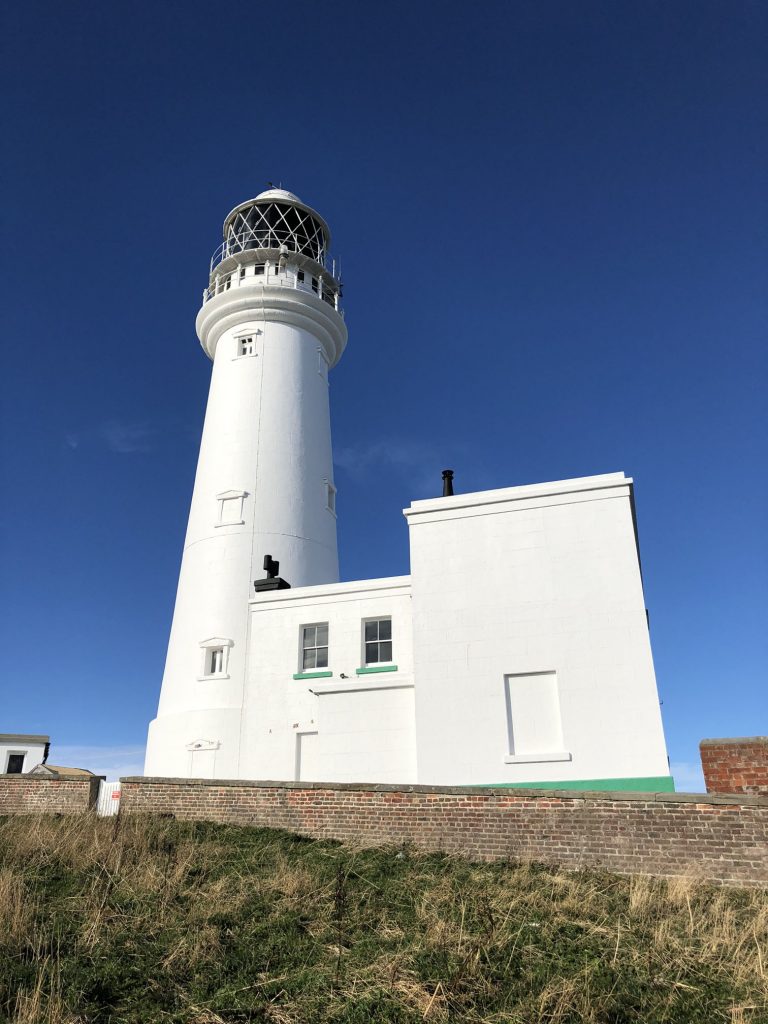
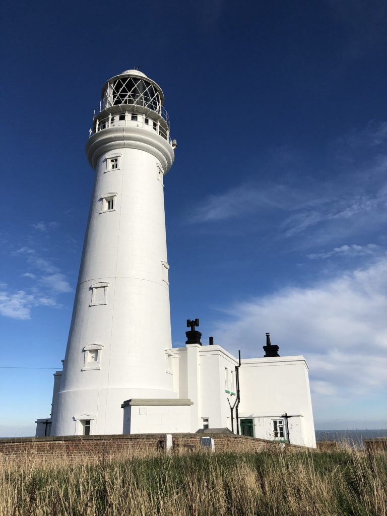
New Flamborough Lighthouse
The present Flamborough Head lighthouse, designed by Samuel Wyatt and costing £8000 to build, was first lit on 1 December 1806. The current electric fog signal was installed in 1975, replacing older equipment. In the past, warnings in foggy weather were provided by rockets, discharged every five minutes and reaching an altitude of 600 feet. The last lighthouse keepers left on 8 May 1996. The lighthouse is now a Grade 2 listed building.
Toposcope at Flamborough Head.

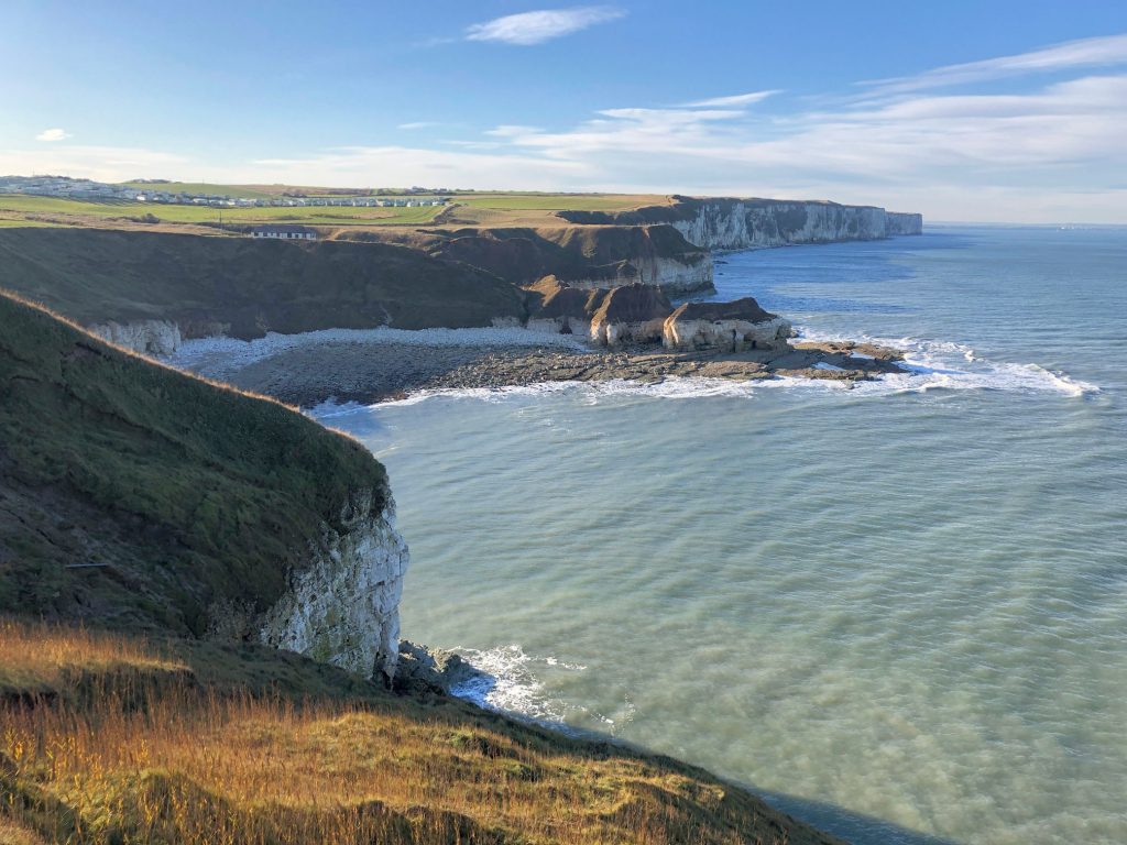
Breil Nook, north-west of Flamborough Head.

North Landing.
Thornwick Bay.
Wave-cut platform at Thornwick Bay.
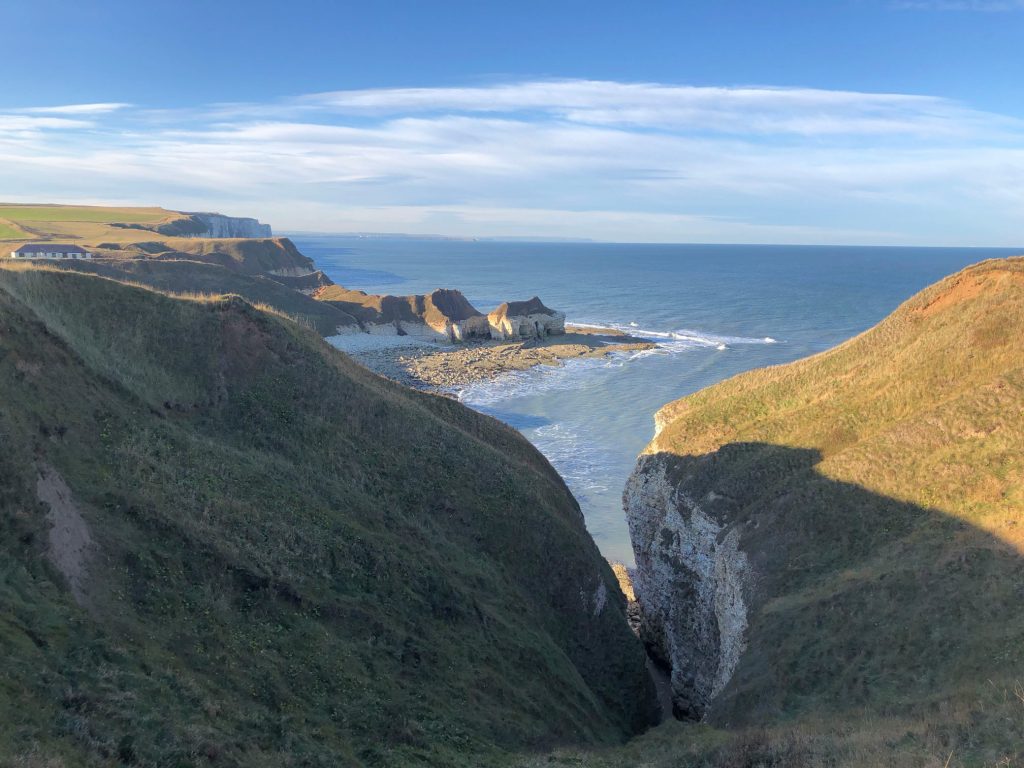
Sheer chalk cliffs north-west of Flamborough Head.