North-east from Newbiggin-on-Lune to Smardale Gill Viaduct along the dismantled railway line, followed by a U-turn back to Smardale Bridge. North-east across Smardale Fell to Smardale Hall, then north-west to the village of Crosby Garrett. South-west across Crosby Garrett Fell below Nettle Hill and back to the starting point via Bents Farm and Brownber. A 10-mile walk in the Yorkshire Dales.

Recommended Ordnance Survey Map
The best map to use on this walk is the Ordnance Survey map of the Howgill Fells & Upper Eden Valley, reference OS Explorer OL19, scale 1:25,000. It clearly displays footpaths, rights of way, open access land and vegetation on the ground, making it ideal for walking, running and hiking. The map can be purchased from Amazon in either a standard, paper version or a weatherproof, laminated version, as shown below.
Standard Version
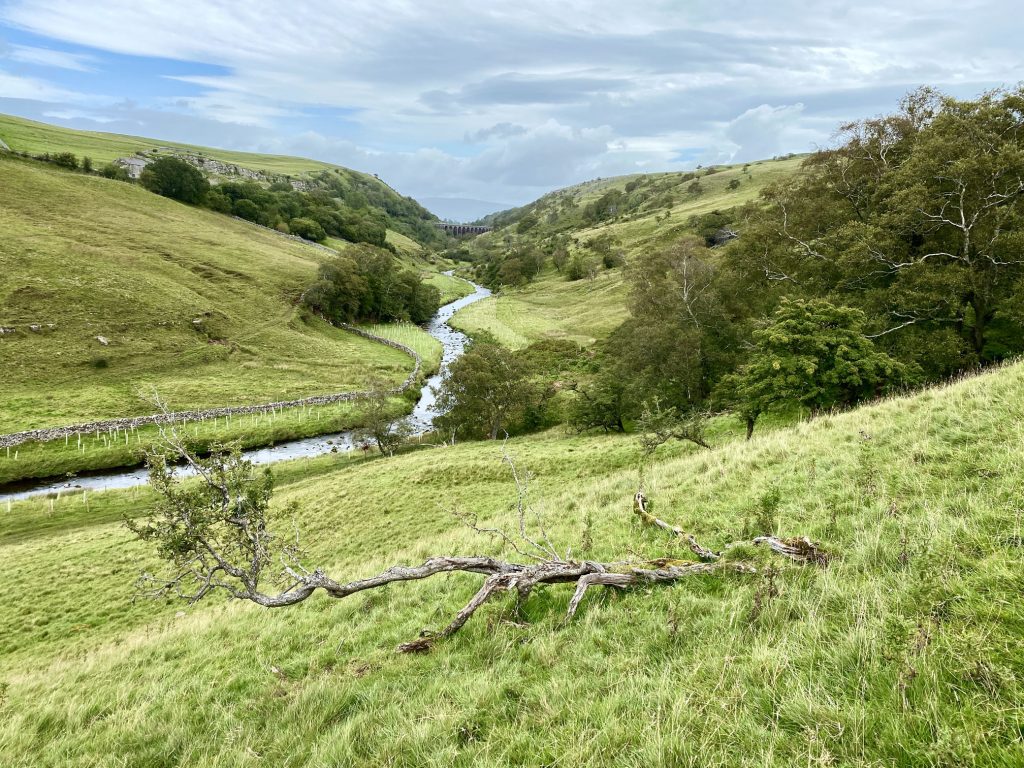
The view east across Smardale Gill towards the hills of Smardale Fell.
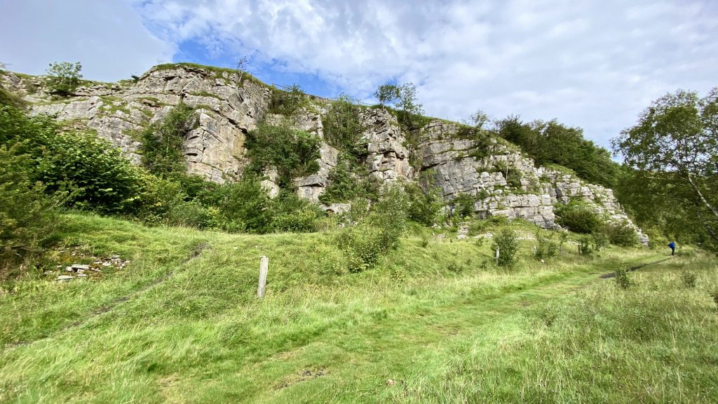
Quarried rock face by the side of the dismantled South Durham & Lancaster Union railway line.
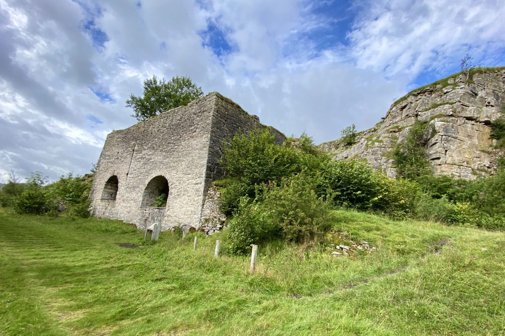
Smardale lime kilns next to the quarried rock face on the dismantled railway line.
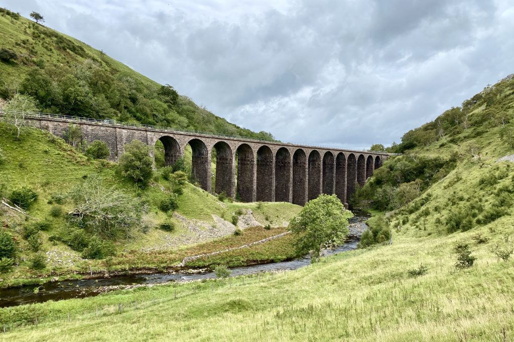
Smardale Gill Viaduct, a Grade 2 listed 14-arched viaduct, 27½ metres high and 168 metres long. The viaduct was constructed in 1861 by the noted Cumbrian engineer, Sir Thomas Bouch, for the South Durham & Lancaster Union Railway.
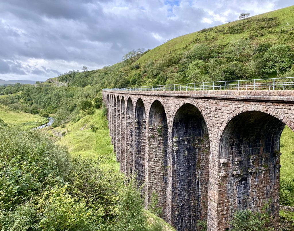
The railway was built across the Pennines to take coke from County Durham to the iron and steel furnaces of Barrow and West Cumbria. At its peak, in the 1880s, over one million tons of coke a year were transported along the line.
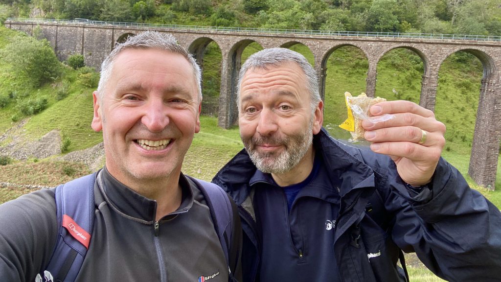
A quick selfie in front of the Smardale Gill Viaduct.
Smardale Gill National Nature Reserve.
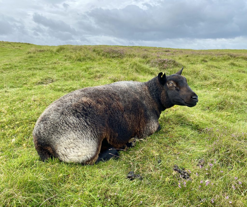
A sheep relaxing on Smardale Fell.
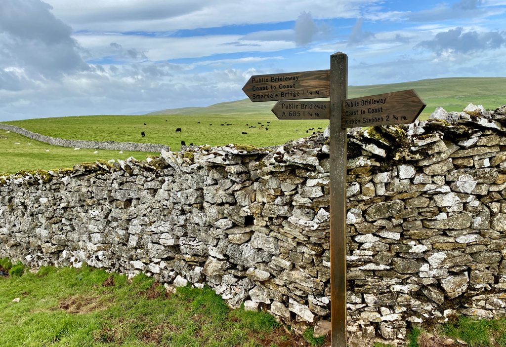
Crossroads on Smardale Fell.
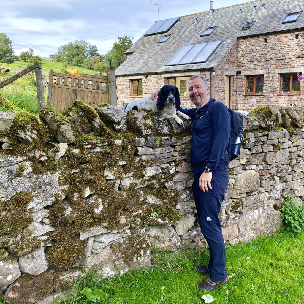
Mark makes a new friend in Crosby Garrett.
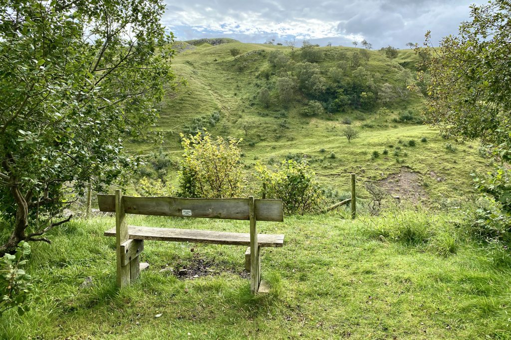
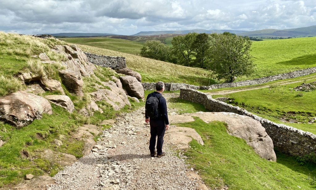
The path down to Bents Farm just north of Brownber.
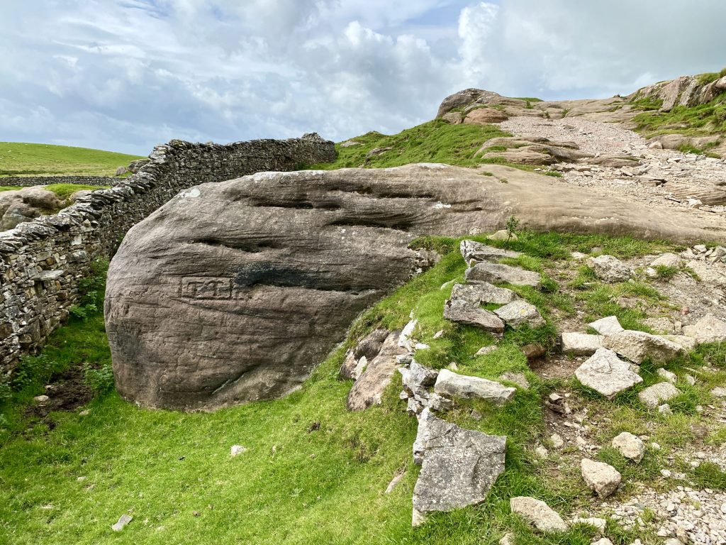
Unusual rock formation near Brownber. Mark said it reminded him of the Brick Train sculpture on the outskirts of Darlington.