ADVERTISEMENT
Experience Stunning Views and Challenging Terrains on the Carrock Fell Walk
Begin your Carrock Fell walk from Bowscale, where a small car parking area awaits just south of the hamlet. Commence your journey westward along the public bridleway, a stone track leading uphill. This path eventually unveils the stunning vista of Bowscale Tarn, ensuring a picturesque start to your trek.
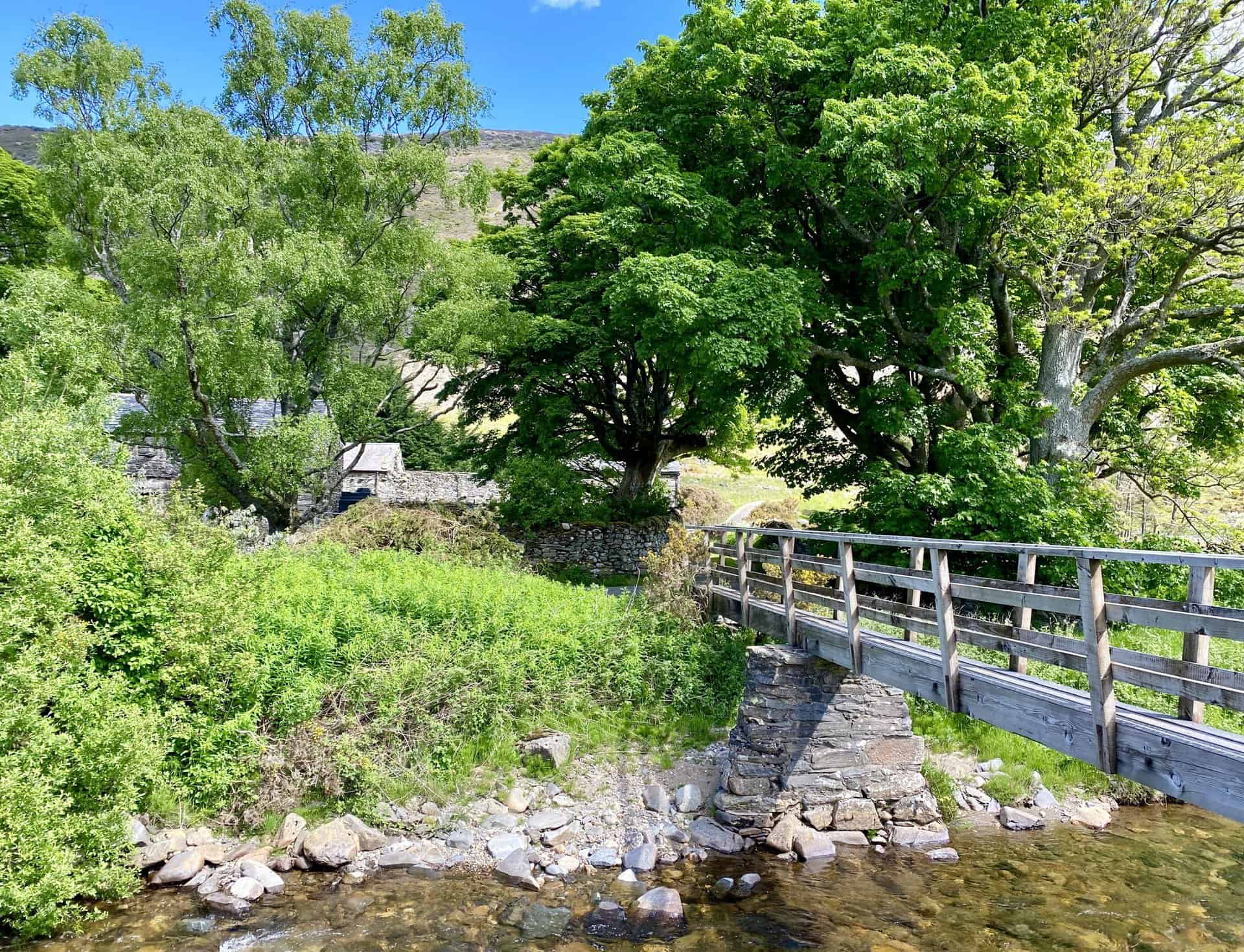
Proceed northwards, descending to cross the River Caldew. The crossing is made at a footbridge near Roundhouse, a charming farm nestled in the valley. Afterward, journey west, following a track that runs alongside the river. This path, set between Bowscale Fell and Carrock Fell, guides you through the valley’s serene beauty. Continue until you reach the point where Grainsgill Beck converges with the River Caldew, at the foot of Coomb Height. Here, a steep climb to the Coomb Height summit awaits.
ADVERTISEMENT
From Coomb Height, navigate north along the Cumbria Way towards Hare Stones, then ascend to High Pike. At this vantage point, take a moment to appreciate the expansive views. Subsequently, reverse direction briefly southward, then veer east towards Miton Hill and south-east to Round Knott. Your eastward journey culminates at the summit of Carrock Fell, followed by a challenging descent through loose, slippery scree to the minor road below Apronful of Stones.
The descent from Carrock Fell, marked by steep slopes and unstable scree, presents a considerable challenge. Reflecting on the journey, tackling the route in reverse might have offered an easier ascent. Upon reaching the tranquil minor road, head south towards Mosedale, then back to Bowscale. This 11-mile excursion in the Lake District is demanding yet rewarding, with the climb to Coomb Height and Carrock Fell’s descent as its most testing segments.
Carrock Fell Walk: Maps and Tools
Visit either the OS Maps website or the Outdooractive website to view this walking route in greater detail. Both platforms offer a range of features, including the ability to print the route, download it to your device, and export the route as a GPX file. You can also watch a 3D fly-over and share the route on social media.
Carrock Fell Walk: Distance, Duration, Statistics
Distance: 10½ miles
Distance: 16¾ kilometres
Duration: 5¾ hours
Ascent: 2836 feet
Ascent: 864 metres
Type: Circular walk
About Carrock Fell
Carrock Fell is a fell in the English Lake District. It lies in the north of the national park, eight miles north-east of Keswick.
The Etymology of Carrock Fell
The name Carrock has Brittonic origins. It is often thought to come from ‘carreg’, meaning ‘rock’ or ‘stony place’. However, early records suggest it more likely means ‘rock’ or ‘hard-surface’. This is with the suffix -ǭg, which can mean ‘abounding in’.
Height Changes of Carrock Fell
The recorded height of the fell has recently decreased by two metres. The Ordnance Survey now records it as 661 metres high. Previously, it was listed at 663 metres. Many guides still use the older figure.
Topographical Features of the Fell
Alfred Wainwright, a noted writer on the Lake District, found his Carrock Fell walks quite remarkable. He ranked the fell second in the north of Lakeland for its interest and excitement. Its appeal comes from its geology, mining history, and distinctive rocky terrain. Unlike its grassy neighbours, Carrock Fell stands out. It is bounded to the south and east by the River Caldew. All its drainage heads towards the Solway Firth.
Unique Geology of Carrock Fell
The geology of Carrock Fell is unique within the Lake District. It mainly consists of gabbro, a rough igneous rock. This rock type is also found in the Black Cuillin on the Isle of Skye. Gabbro is ideal for climbers, making Carrock Fell a prime spot for rock climbing in the northern fells. This is in contrast to the crumbly Skiddaw Slate found elsewhere. The fell has a rich mining history, with tungsten, lead, arsenic, and iron all extracted from it. The Carrock Mine was the most notable, being the only tungsten source in Britain outside Devon and Cornwall. It was opened in 1854 but operated sporadically, mainly during times of high tungsten prices. The mine closed in 1981 and was cleared in 1988.
The Fell’s Historical Significance
Carrock Fell also hosts an Iron Age hill fort at its summit. Only the foundation walls remain. It is believed to have been built by the Celts and destroyed by the Romans. Another historical highlight is the ascent by Charles Dickens and Wilkie Collins in 1857. Despite Collins spraining his ankle, they made the climb. They later wrote a humorous account of their adventure.
The Ascents of Carrock Fell
Carrock Fell is commonly accessed from the track leading to the Carrock Mine site. Parking is available, allowing for a climb via the steep south-west slopes. An alternative route comes from the road between Mungrisedale and Hesket Newmarket. This passes by the craggy ‘Apronful of Stones’. The path is steep and covered in loose scree, as we discovered on our Carrock Fell walk.
The Summit Views
The summit of Carrock Fell offers excellent views, especially to the east towards the North Pennines. It has two subsidiary summits: Round Knott and Milton Hill. These lie west of the main summit, extending to High Pike.
Recommended Ordnance Survey Map
The best map to use on this walk is the Ordnance Survey map of the Lake District North-Eastern Area, reference OS Explorer OL5, scale 1:25,000. It clearly displays footpaths, rights of way, open access land and vegetation on the ground, making it ideal for walking, running and hiking. The map can be purchased from Amazon in either a standard, paper version or a weatherproof, laminated version, as shown below.
Standard Version
Carrock Fell Walk: My Photos
Bridleway leading to Bowscale Tarn, beneath the northern slopes of Bowscale Fell.
ADVERTISEMENT
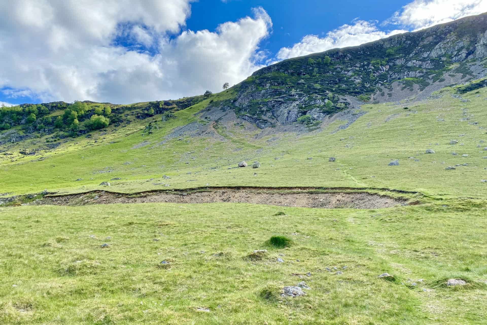
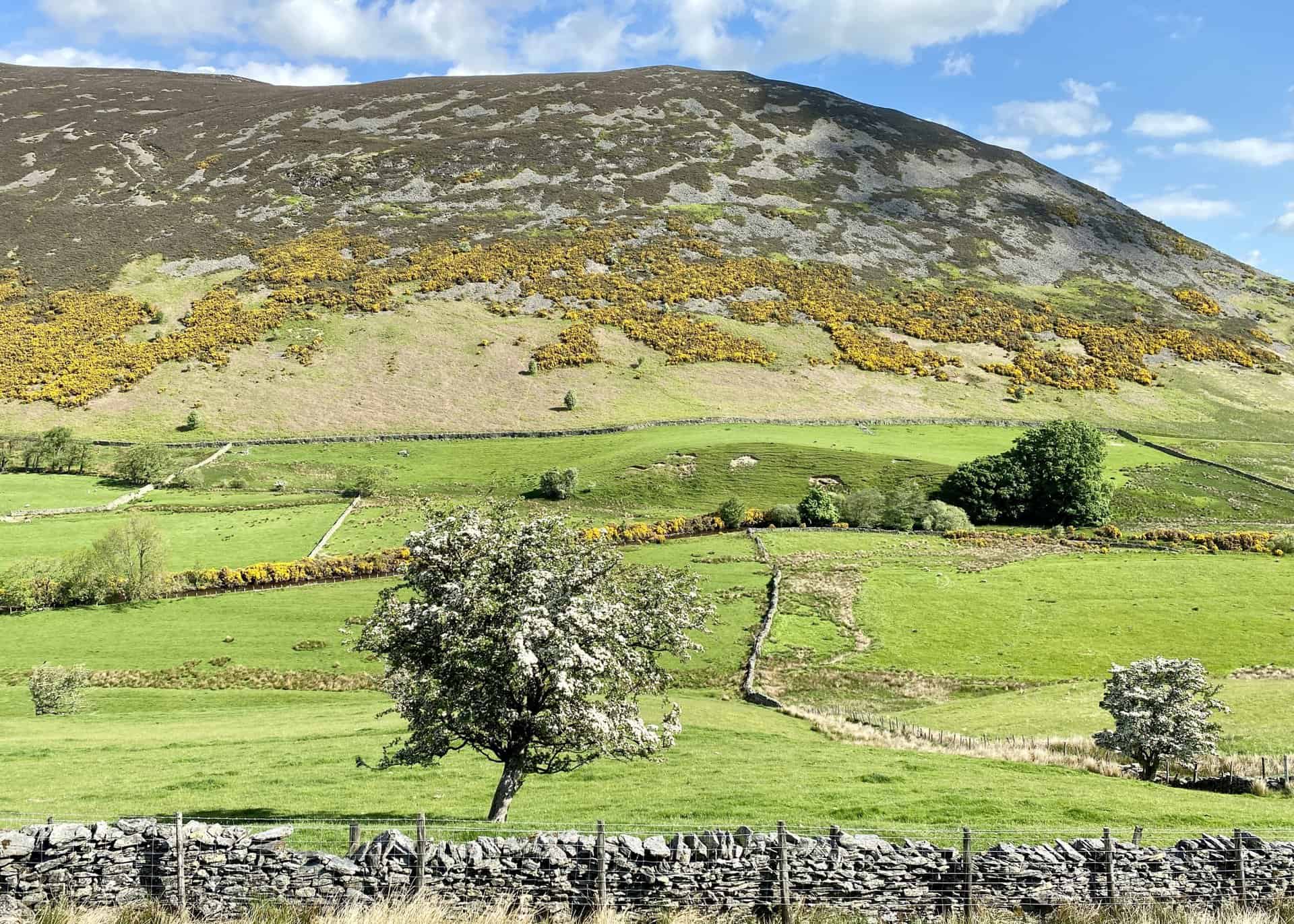
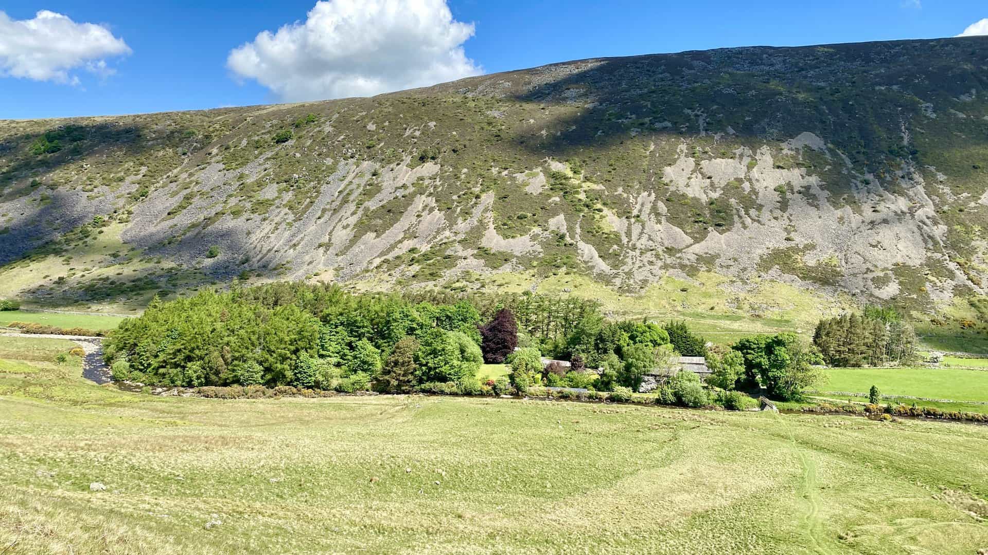
Looking north across the valley at the southern flanks of Carrock Fell.
ADVERTISEMENT
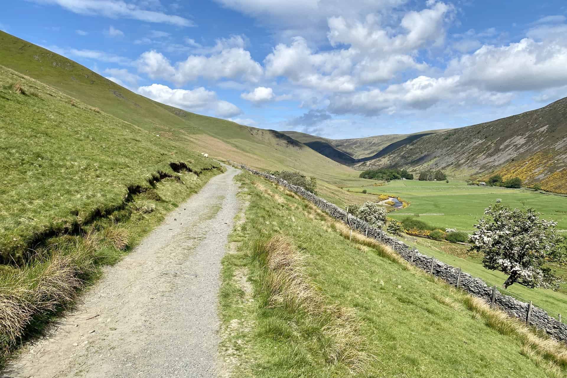
The view down to Roundhouse in the valley between Bowscale Fell and Carrock Fell.
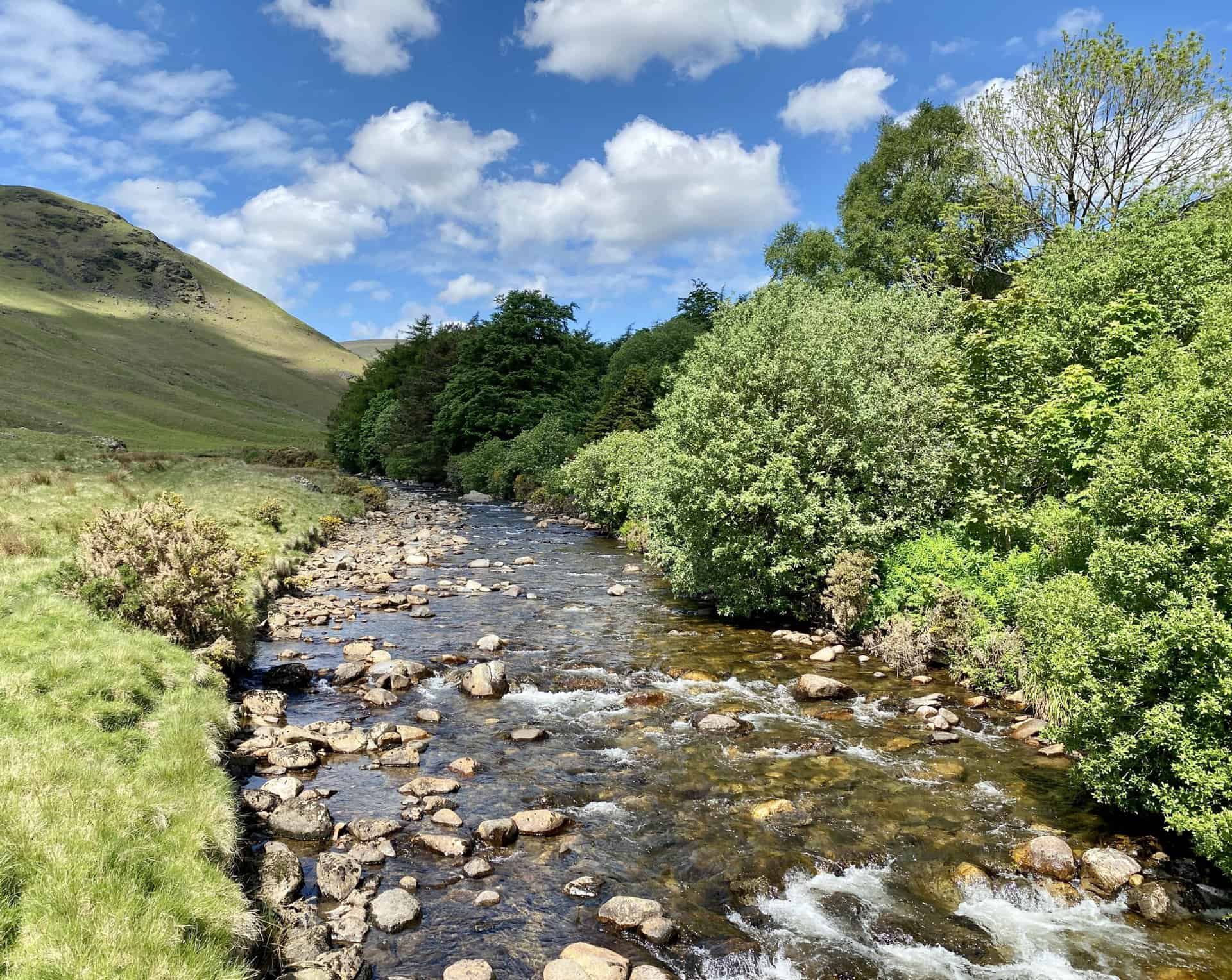
The River Caldew at Roundhouse, roughly one-quarter of the way round this Carrock Fell walk.
Footbridge across the River Caldew at Roundhouse.
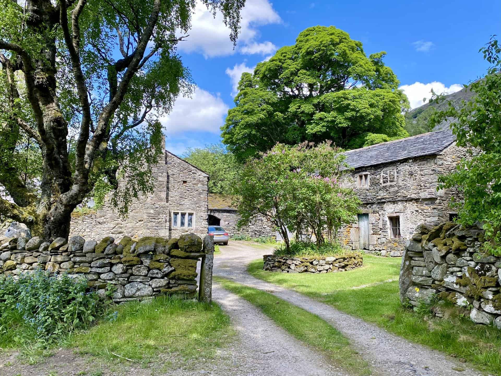
Picturesque farm buildings at Roundhouse.
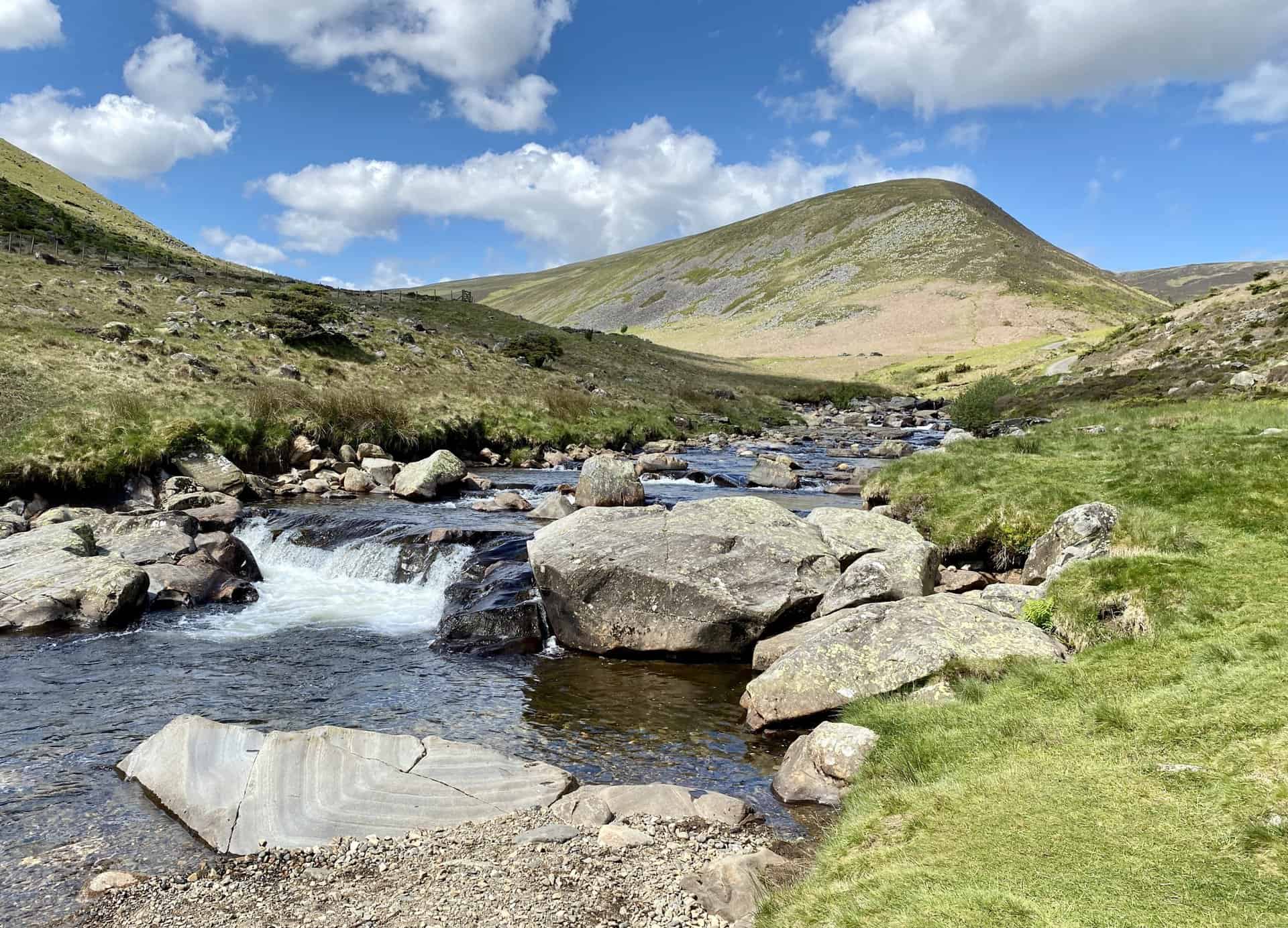
The River Caldew with Coomb Height in the background.
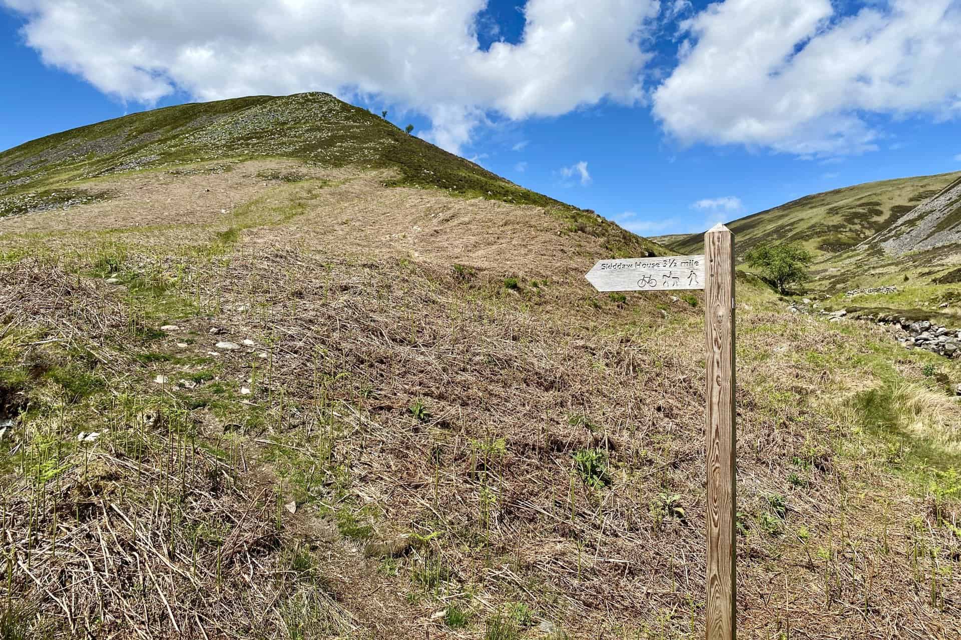
Signpost for Skiddaw House, a youth hostel on the Cumbria Way 3½ miles to the south-west. But our route is straight ahead to the top of Coomb Height.
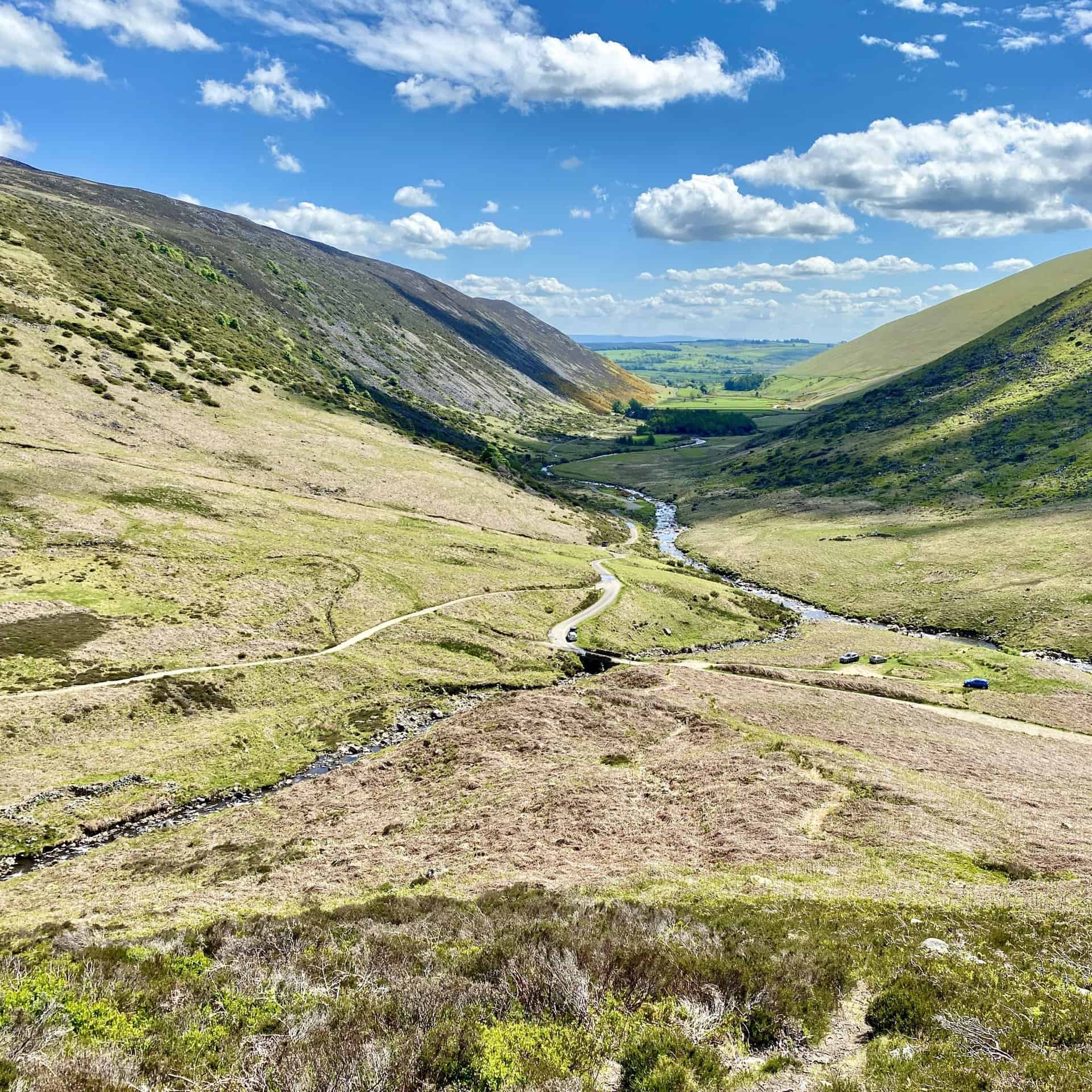
Looking back down the valley between Bowscale Fell and Carrock Fell.
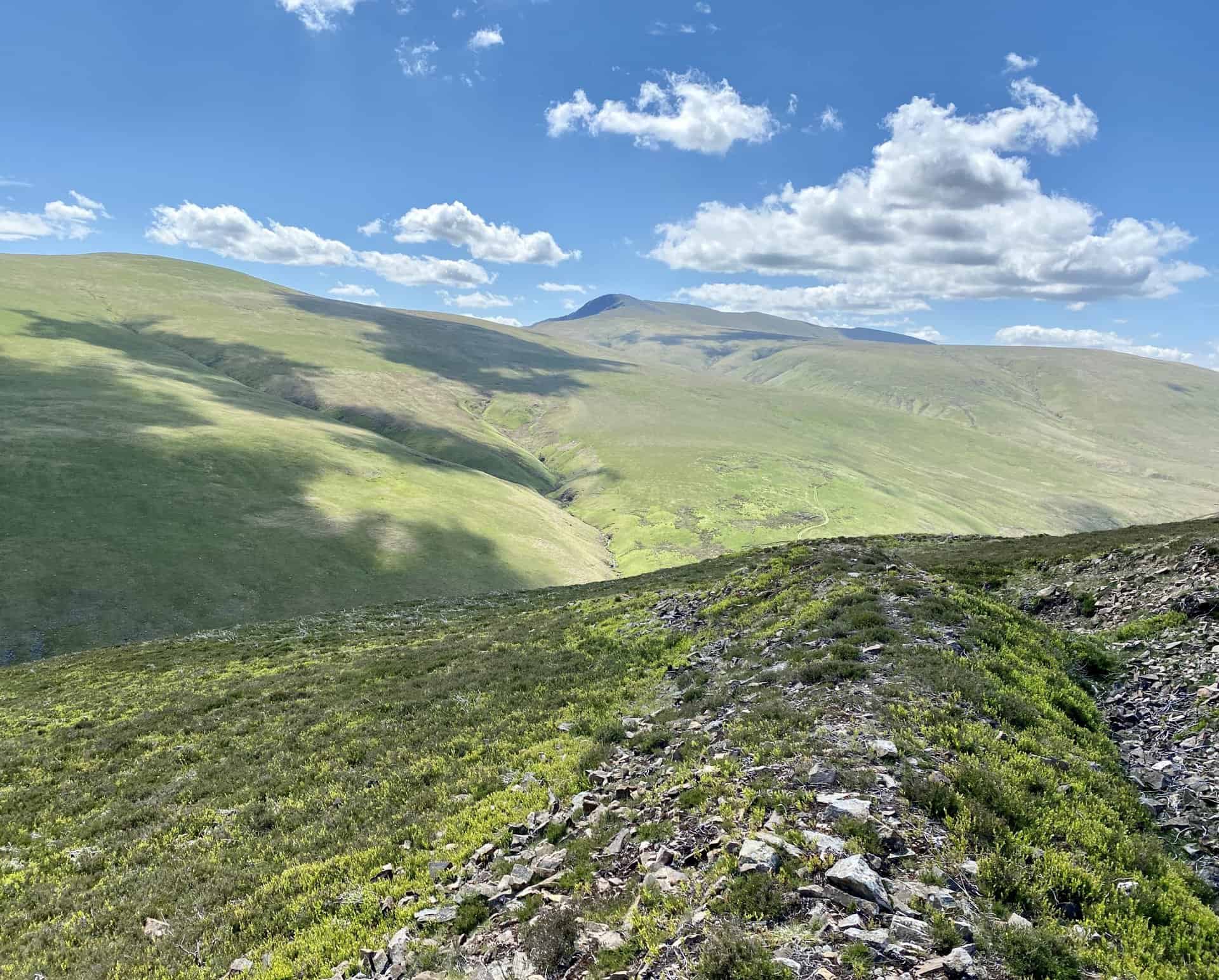
The view south towards Blencathra as seen from the eastern ascent of Coomb Height.
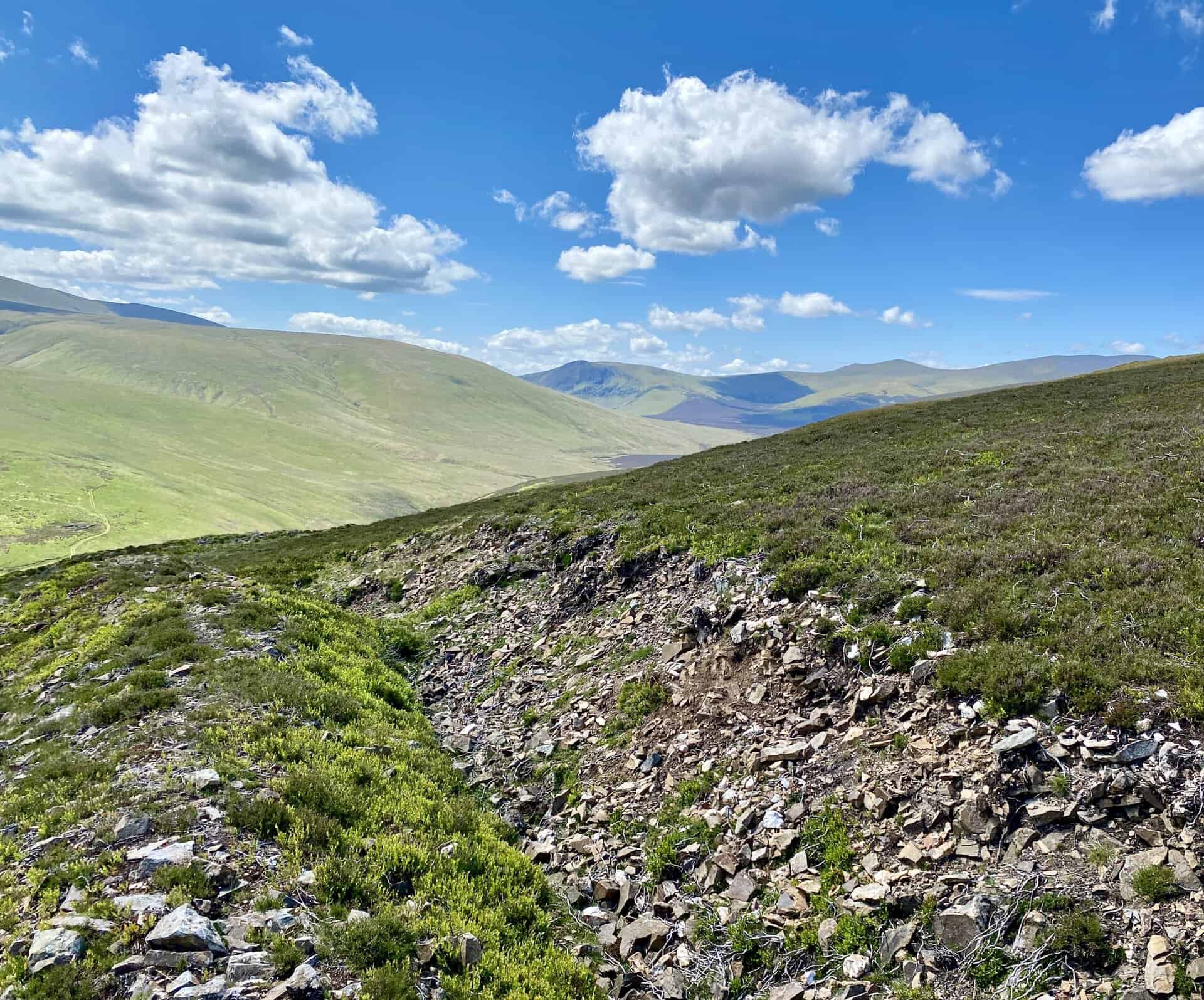
The view south-west towards Lonscale Fell and Skiddaw Little Man as seen from the eastern ascent of Coomb Height.
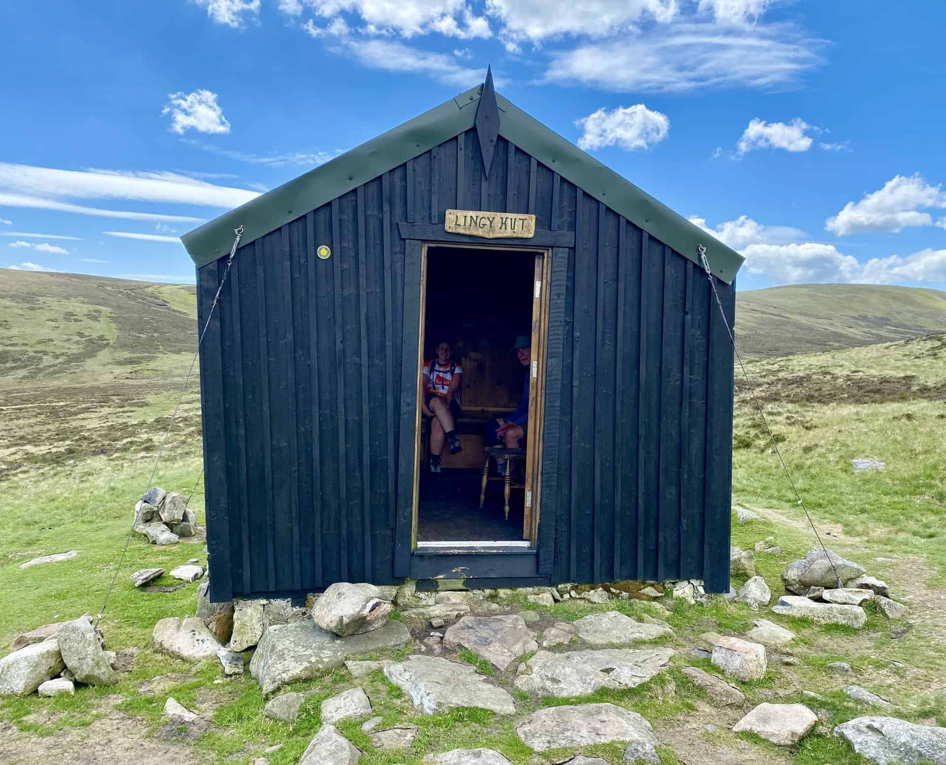
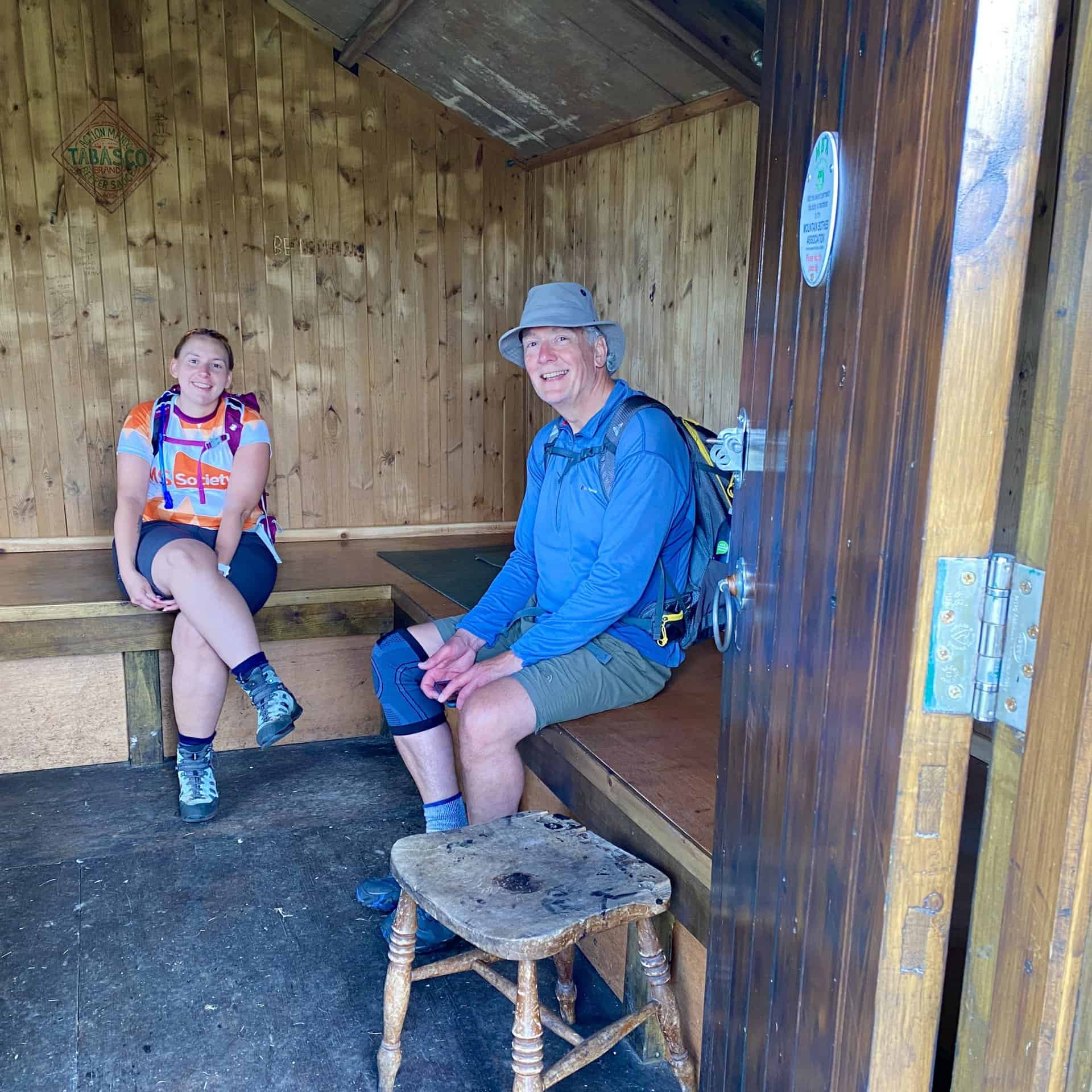
Lingy Hut, a bothy on the Cumbria Way between Coomb Height and High Pike. The last time I was here the area was covered in deep snow and the bothy provided a very welcome shelter and resting place. The bothy marks the halfway point of this Carrock Fell walk.
Carrock Fell as seen from the summit of High Pike, height 658 metres (2159 feet).
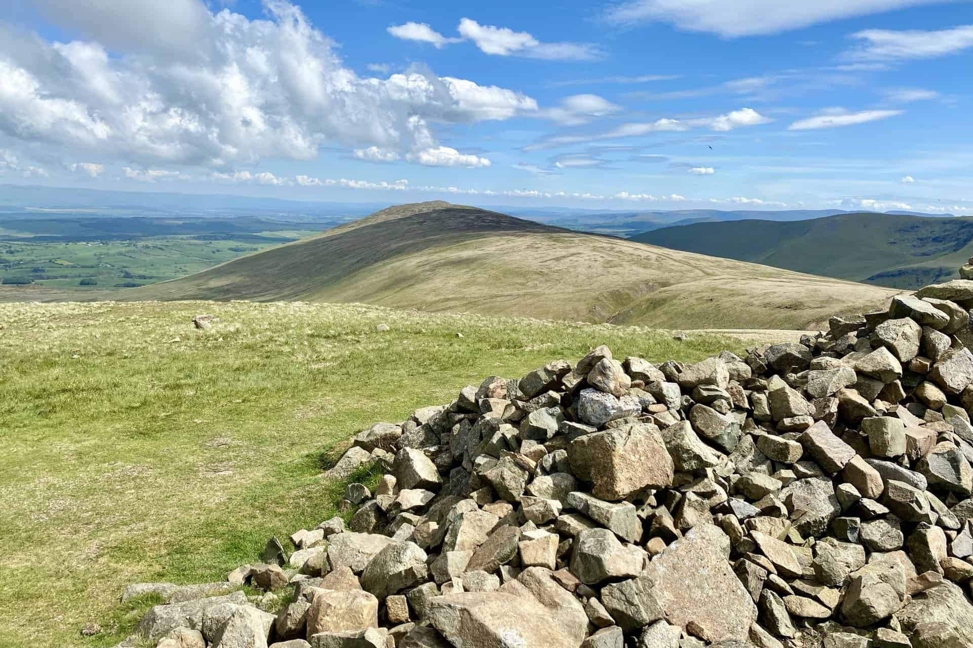
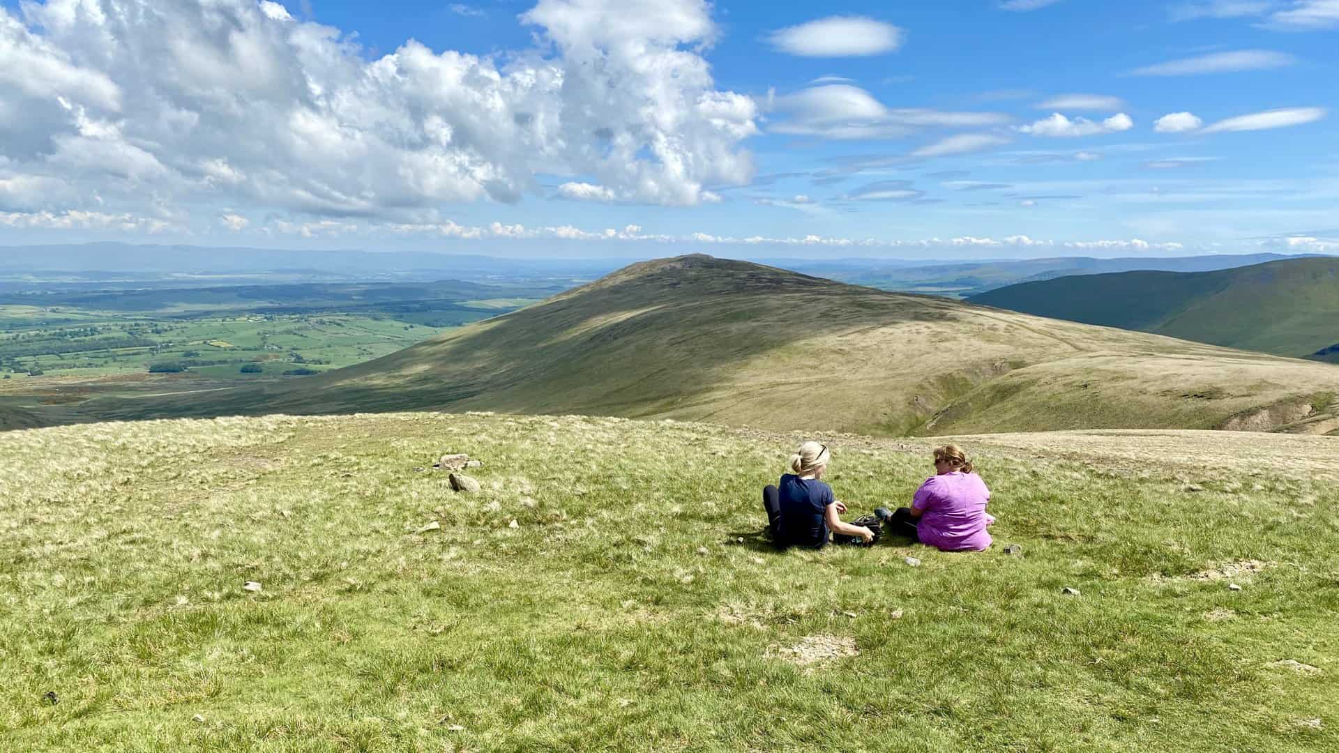
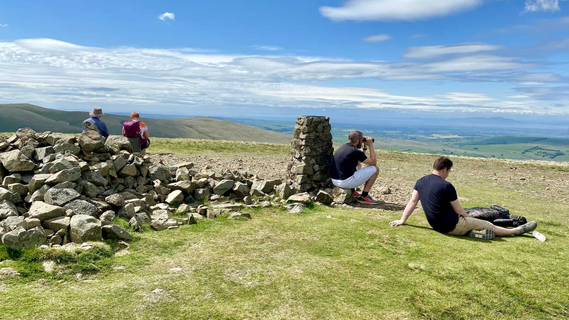
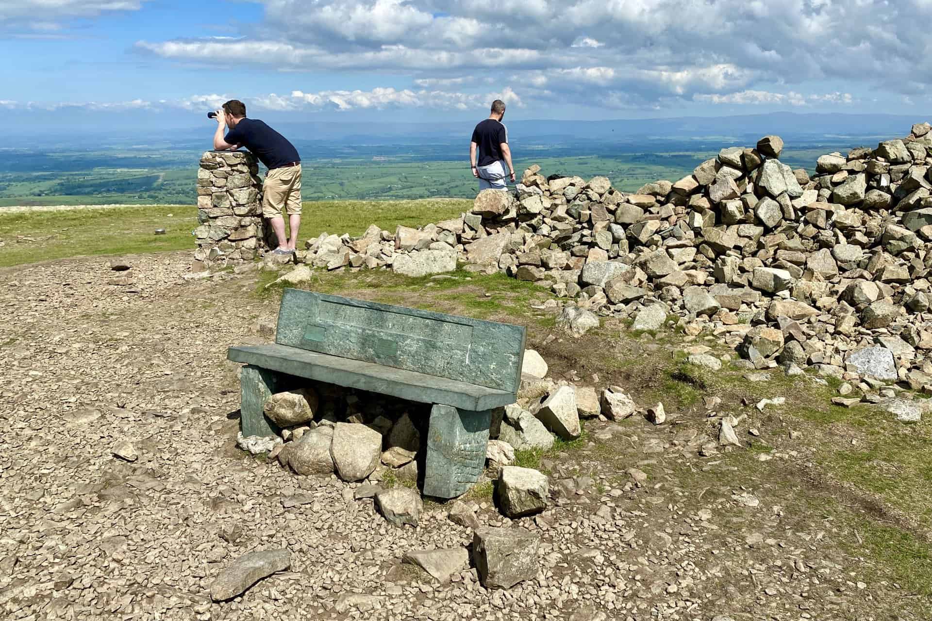
The summit of High Pike with extensive views north and north-west towards Carlisle and the Solway Firth respectively.
Former mining area near Drygill Head.
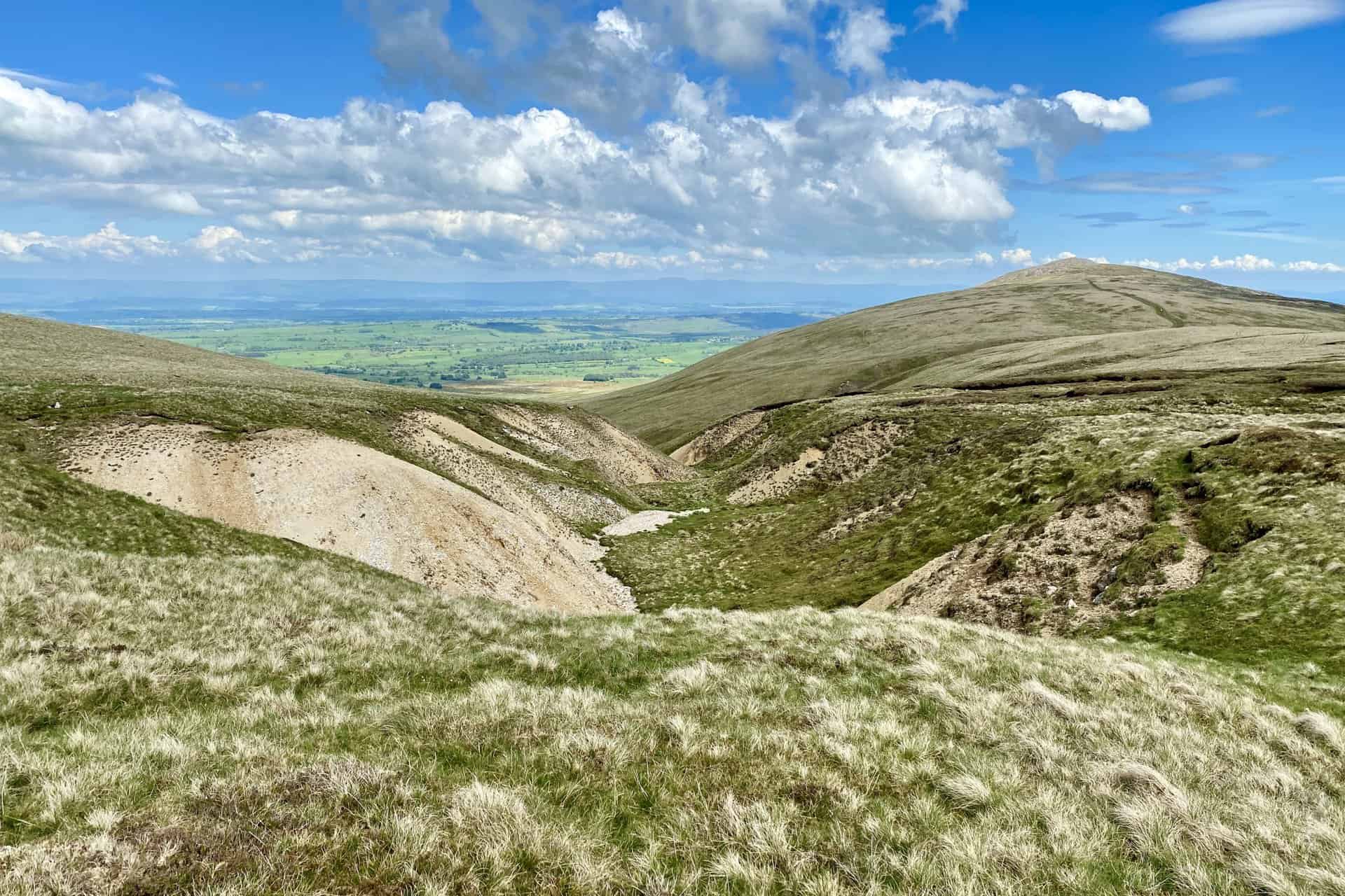
The route to Carrock Fell between Miton Hill and Round Knott.
The distinctive bowl-shaped glacial landform of Tarn Crags and Bowscale Tarn.
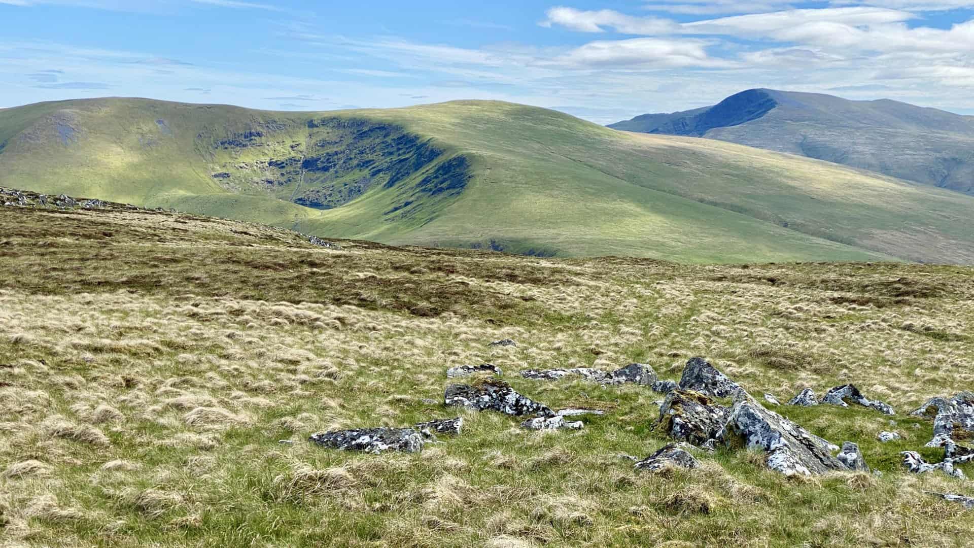
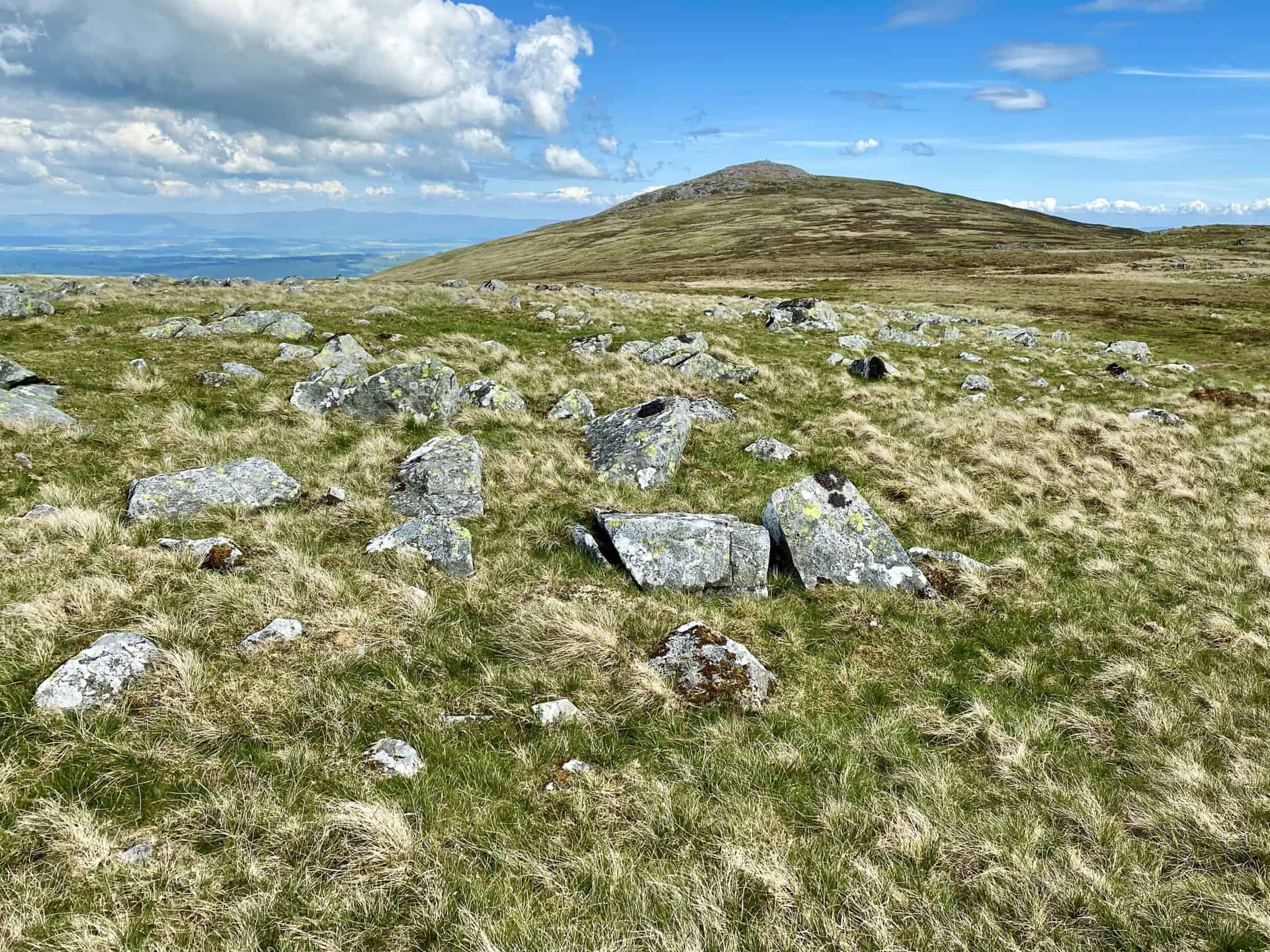
Amazing scenery on the approach to the Carrock Fell summit.
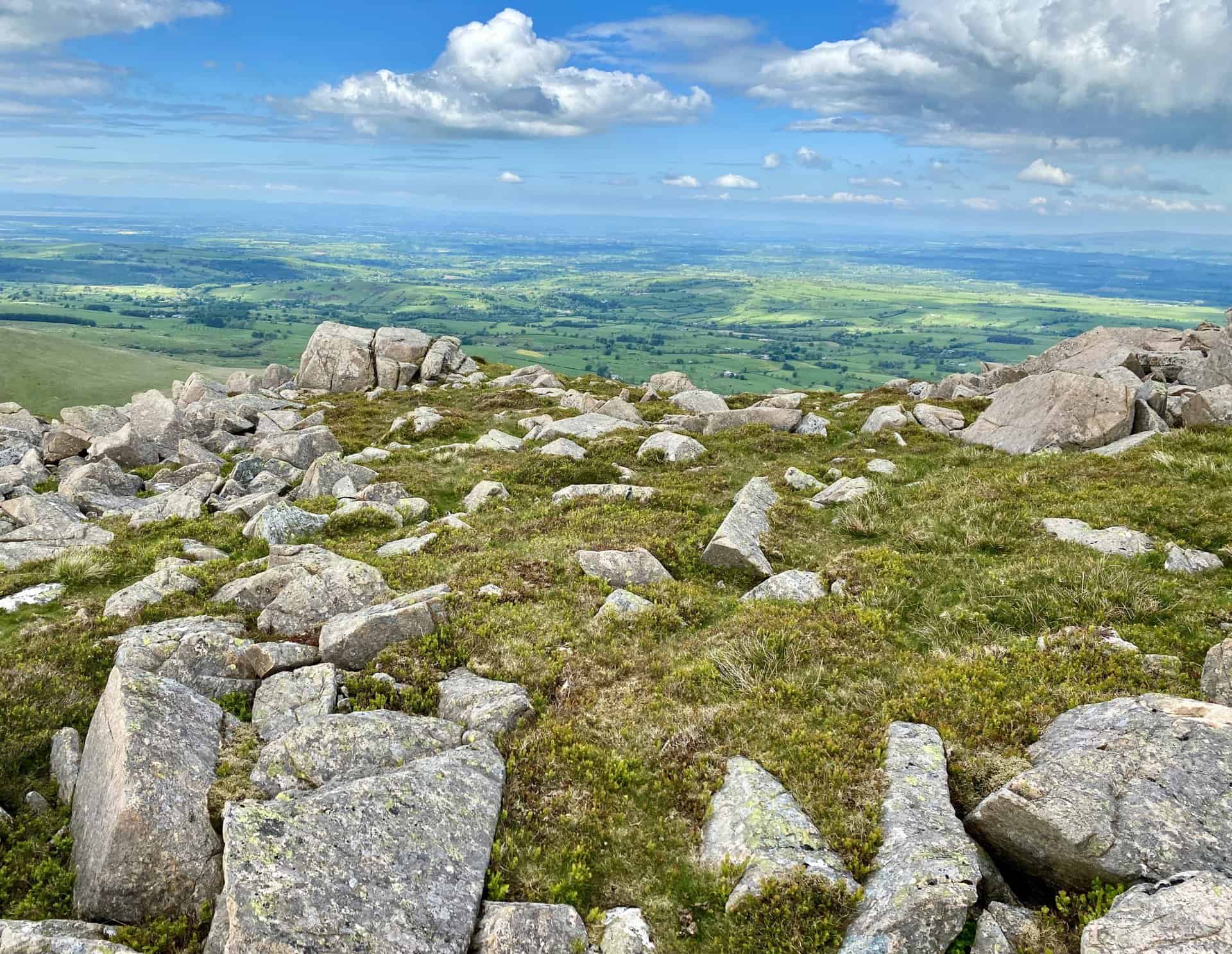
The summit of Carrock Fell, height 649 metres (2129 feet).
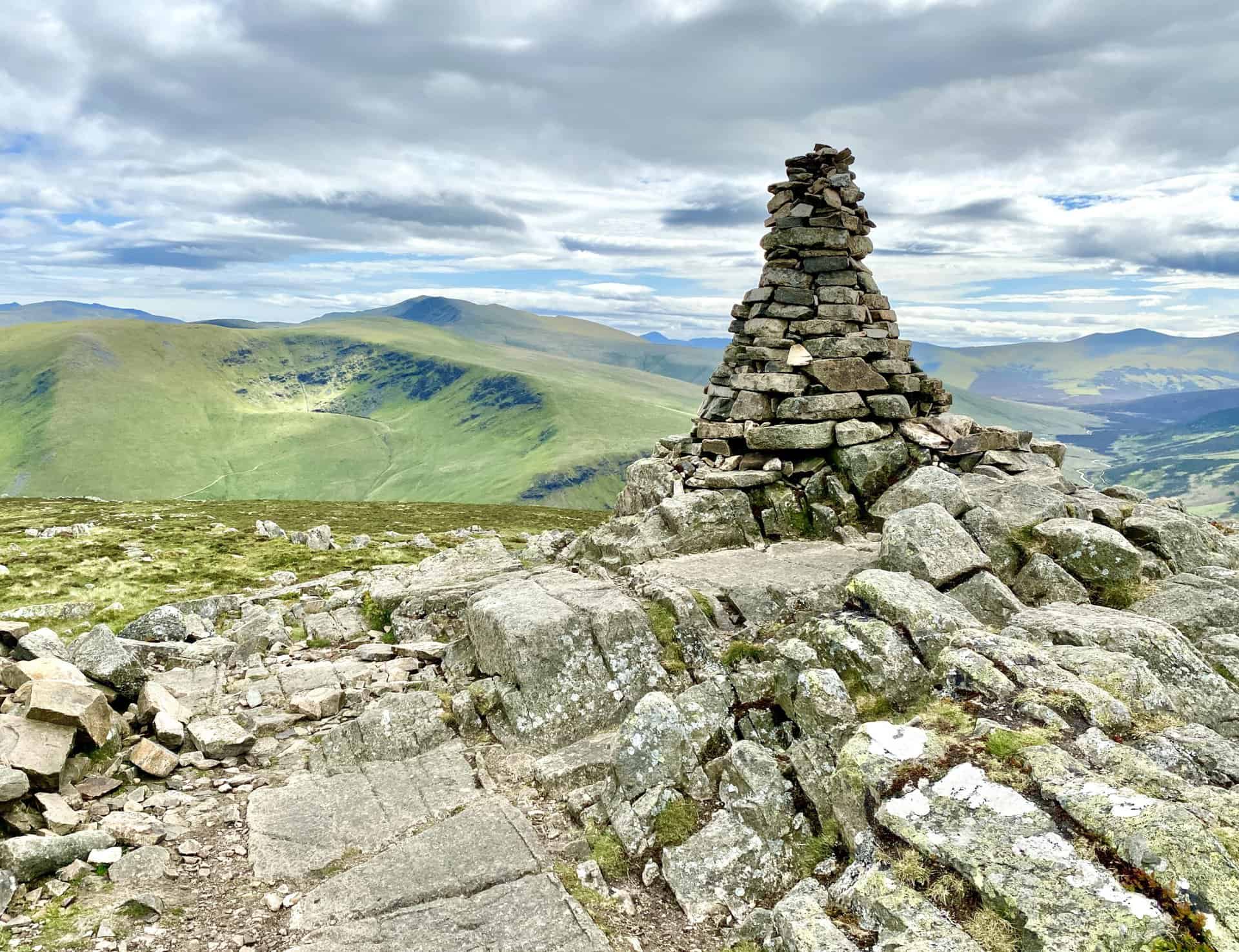
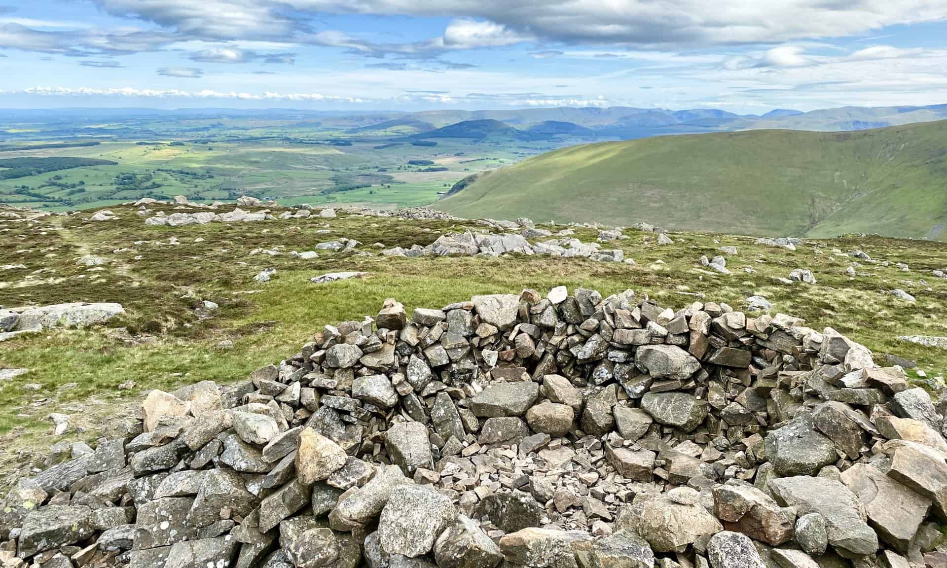
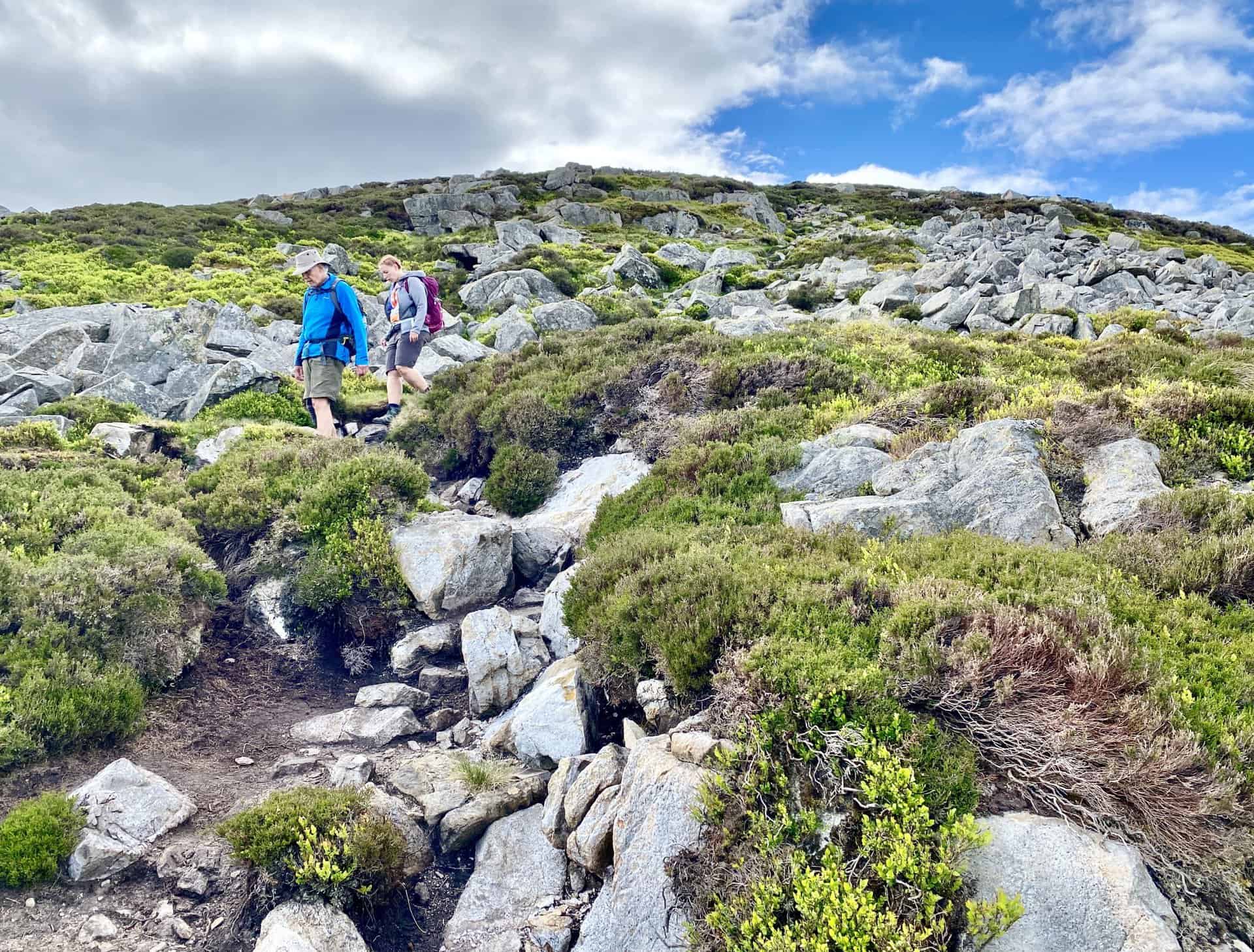
The descent of Carrock Fell, which became steep and very difficult. Reversing this Carrock Fell walk might have been wiser, as ascending would likely have been easier than descending.
The view east from Carrock Fell over to Penrith and the North Pennines.
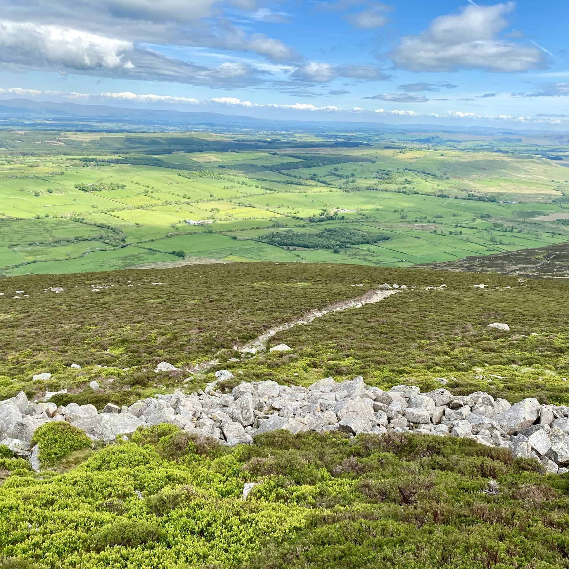
The Apronful of Stones below Carrock Fell.