North-west out of Settle to Giggleswick, then north to Feizor Thwaite and Feizor. East along the Dales High Way to Stainforth Force, then south back to Settle following the course of the River Ribble. A 9-mile walk in Northern England.
Recommended Ordnance Survey Map
The best map to use on this walk is the Ordnance Survey map of the Yorkshire Dales Southern & Western Area, reference OS Explorer OL2, scale 1:25,000. It clearly displays footpaths, rights of way, open access land and vegetation on the ground, making it ideal for walking, running and hiking. The map can be purchased from Amazon in either a standard, paper version or a weatherproof, laminated version, as shown below.
Standard Version
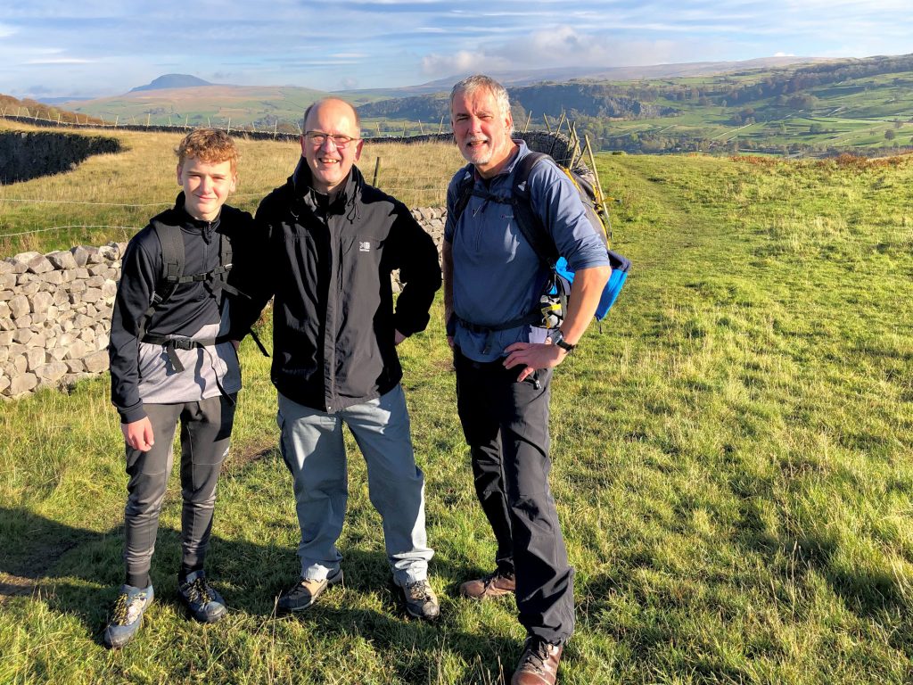
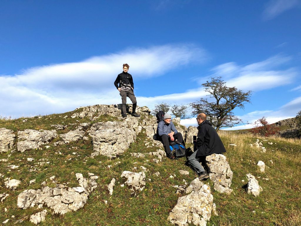
Oliver, Chris and Mike near the quarry just north of Settle.
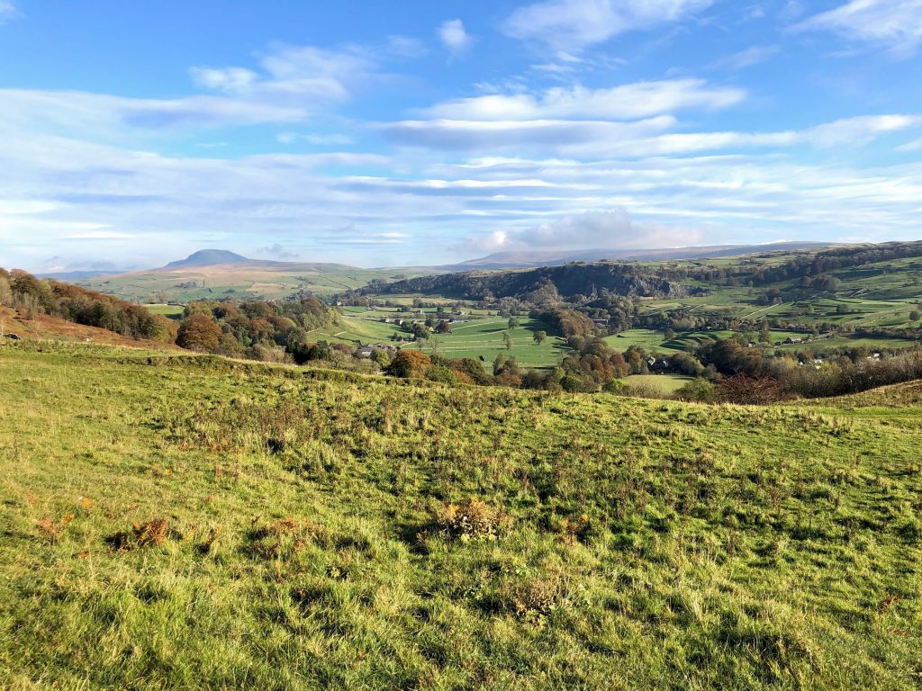
The view north over the Ribblesdale valley, with Pen-y-ghent on the horizon left of centre.
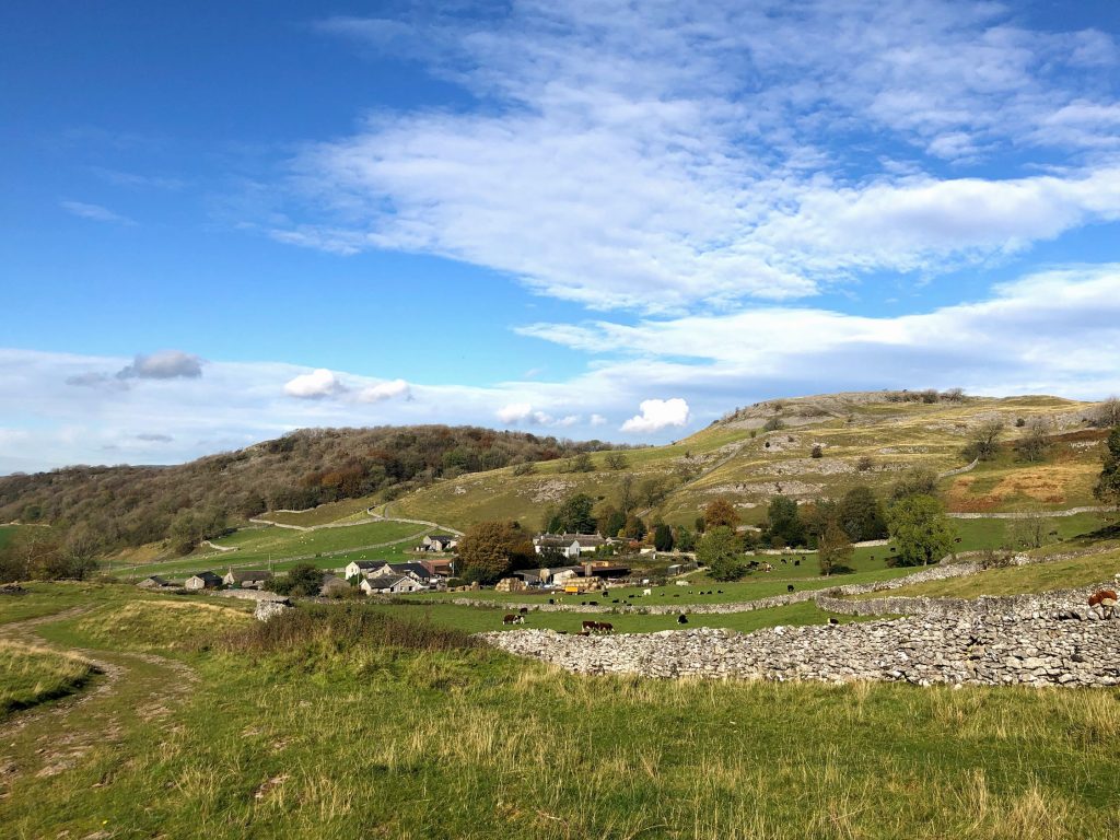
Time for a break near Giggleswick Scar.
The approach to Feizor on A Pennine Journey.
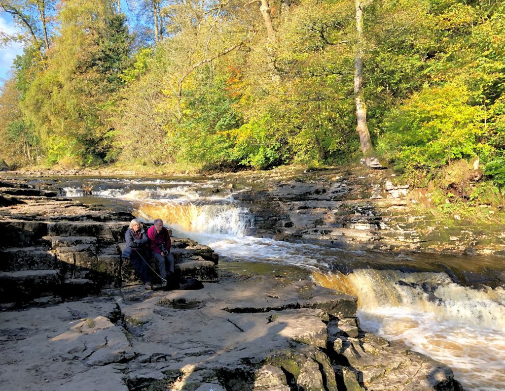
Stainforth Force.
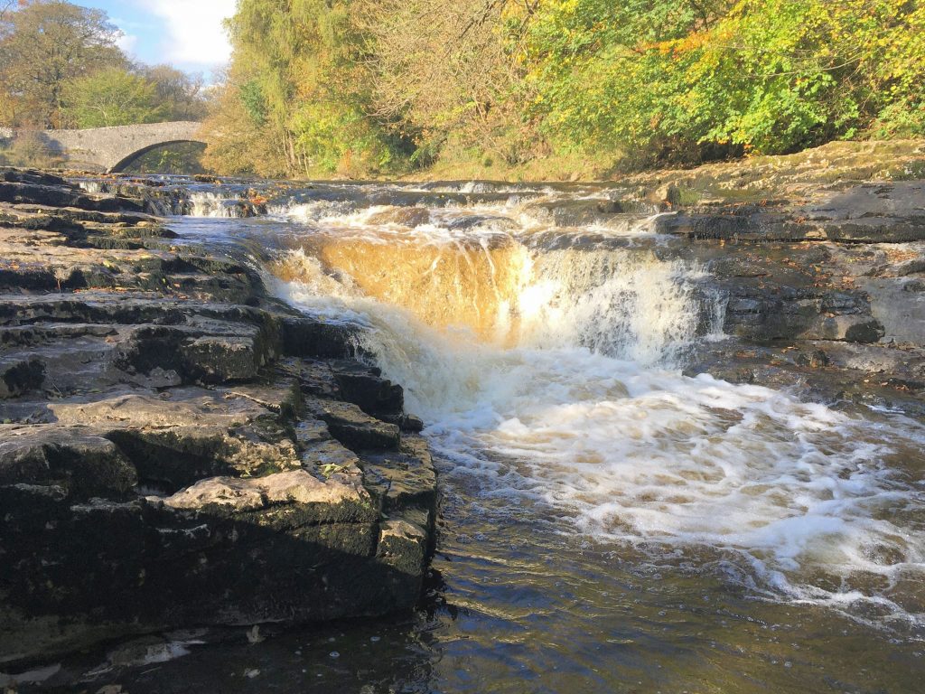
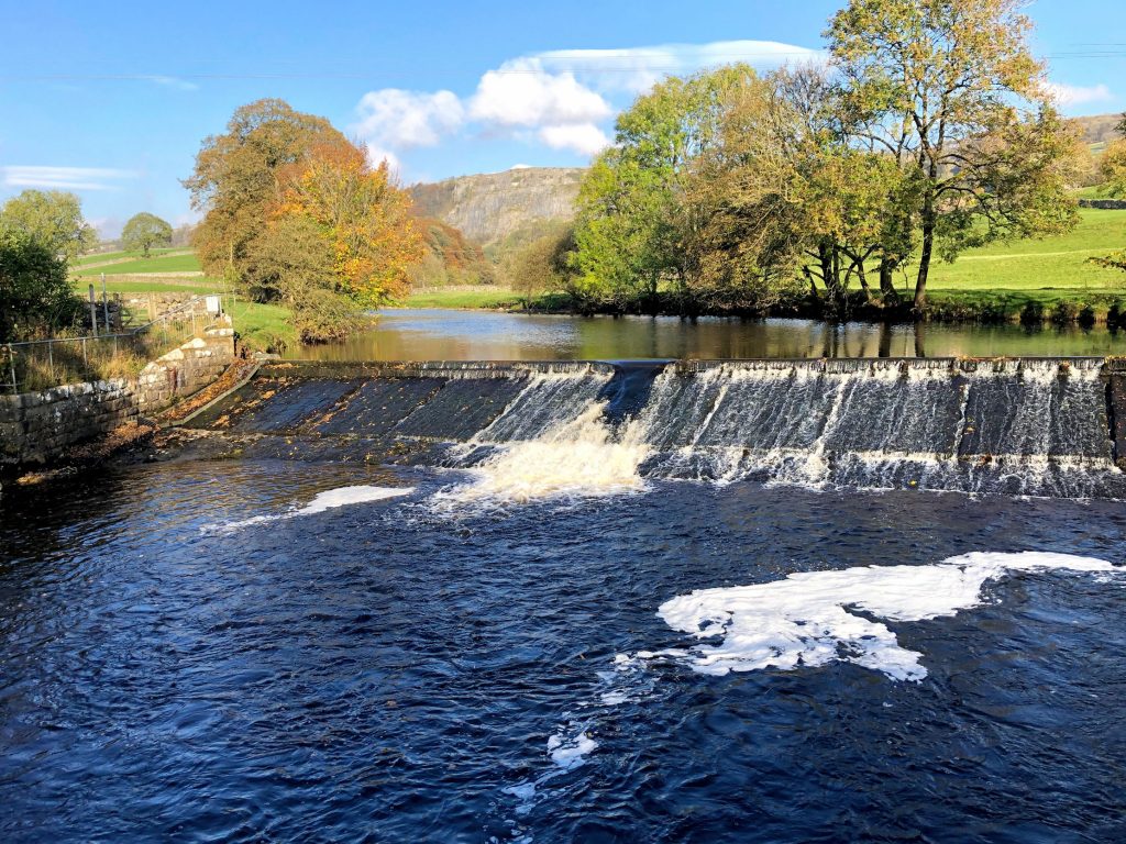
Weir on the River Ribble near Stackhouse.
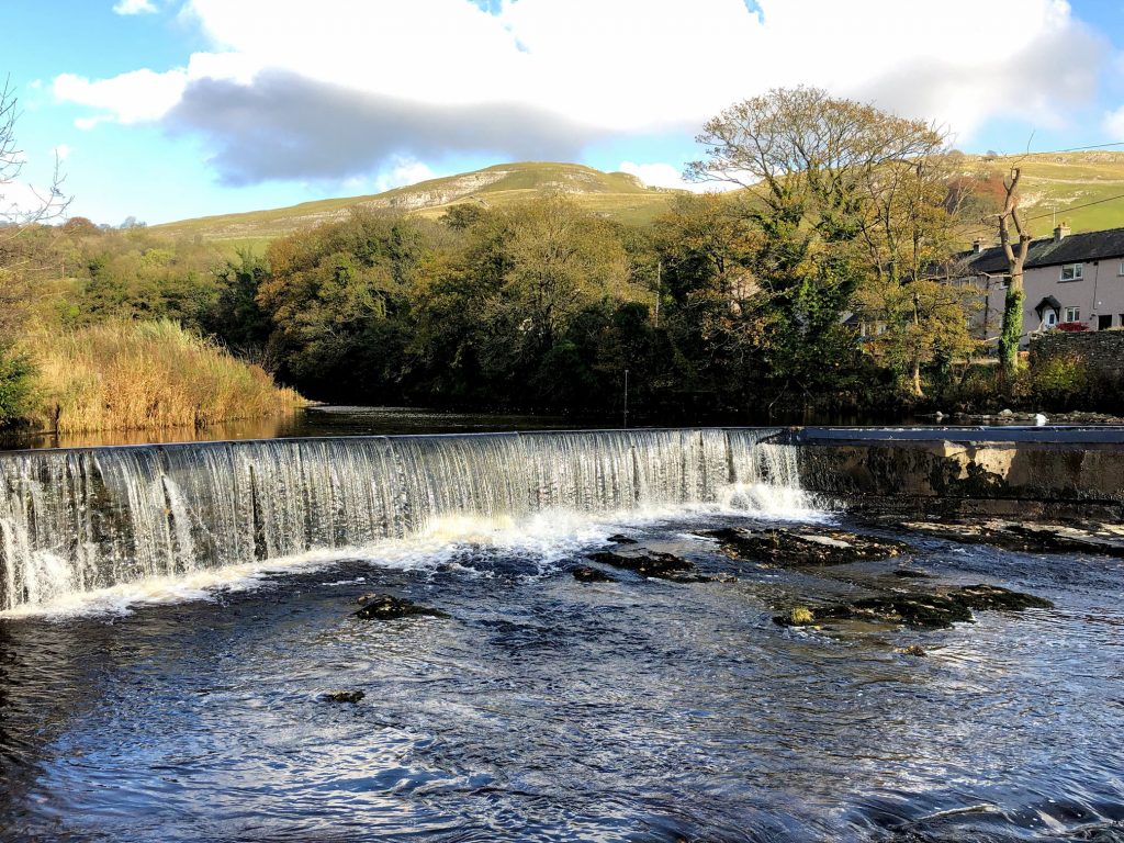
Weir on the River Ribble on the northern outskirts of Settle.