Unwind on the Scenic Sheriff Hutton Walk through the Howardian Hills from Terrington
Embark on a delightful 10-mile Sheriff Hutton Walk in the scenic Howardian Hills. Begin your journey by heading south-east across farmland on a public footpath. Next, turn south-west to join Mowthorpe Lane. Continue along the track until you reach Low Mowthorpe Farm. From here, venture south-west on the Centenary Way. Cross Mowthorpe Bridge and ascend to High Stittenham.
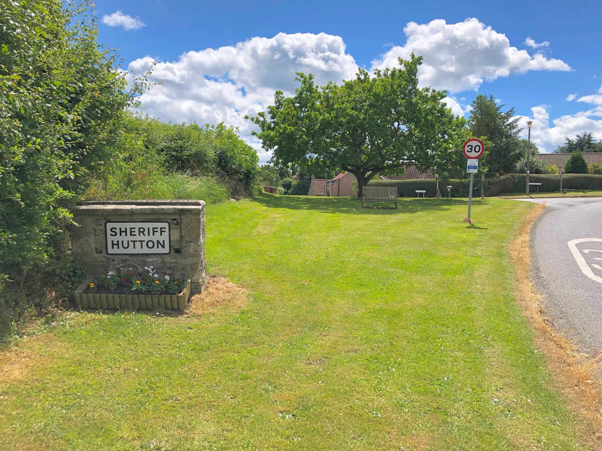
Head south on a public bridleway towards Sheepclose Farm. Proceed west on a public footpath, arriving at Sheriff Hutton village – the halfway point of your walk. Take a leisurely stroll around the outer perimeter of Sheriff Hutton Castle, following the footpath that encircles it. Explore the village before continuing your walk.
Exit the village north-east along the road which passes East End Farm. Join the Ebor Way, heading north-east through Sheriff Hutton Carr until you reach Ings Beck. Ascend uphill via Primrose Farm, passing through woodland before rejoining Mowthorpe Lane. Complete your Sheriff Hutton Walk by returning to Terrington along Mowthorpe Lane.
Sheriff Hutton Walk: Maps and Tools
Visit either the OS Maps website or the Outdooractive website to view this walking route in greater detail. Both platforms offer a range of features, including the ability to print the route, download it to your device, and export the route as a GPX file. You can also watch a 3D fly-over and share the route on social media.
Sheriff Hutton Walk: Distance, Duration, Statistics
Distance: 10 miles
Distance: 16 kilometres
Duration: 4½ hours
Ascent: 818 feet
Ascent: 249 metres
Type: Circular walk
About Terrington
Terrington is a delightful village located roughly four miles west of Malton. Its origins can be traced back to the Domesday Book, where it appears as Teurintone. Initially, the lands were split between Bulmer and Foston manors before being held by different noble families over time.
The village name, which is Old English, has several potential meanings. One possibility is that it comes from Tiefrung, a picture, connected to the earlier history of a Roman villa and mosaic floors. Another theory is that it relates to the Anglo-Saxon term for witchcraft. Finally, it could be a combination of the Saxon personal name, Teofer, and tun, which translates to Teofer’s farm.
Under the jurisdiction of the Thirsk and Malton UK Parliament constituency, Terrington is part of the Hovingham and Sheriff Hutton electoral division of North Yorkshire County Council and the Hovingham ward of Ryedale District Council. The parish includes the hamlets of Wiganthorpe, Mowthorpe, and Ganthorpe. According to the 2011 census, Terrington had a population of 459, with a balanced gender distribution.
Recommended Ordnance Survey Map
The best map to use on this walk is the Ordnance Survey map of the Howardian Hills & Malton, reference OS Explorer 300, scale 1:25,000. It clearly displays footpaths, rights of way, open access land and vegetation on the ground, making it ideal for walking, running and hiking. The map can be purchased from Amazon in either a standard, paper version or a weatherproof, laminated version, as shown below.
Sheriff Hutton Walk: My Photos
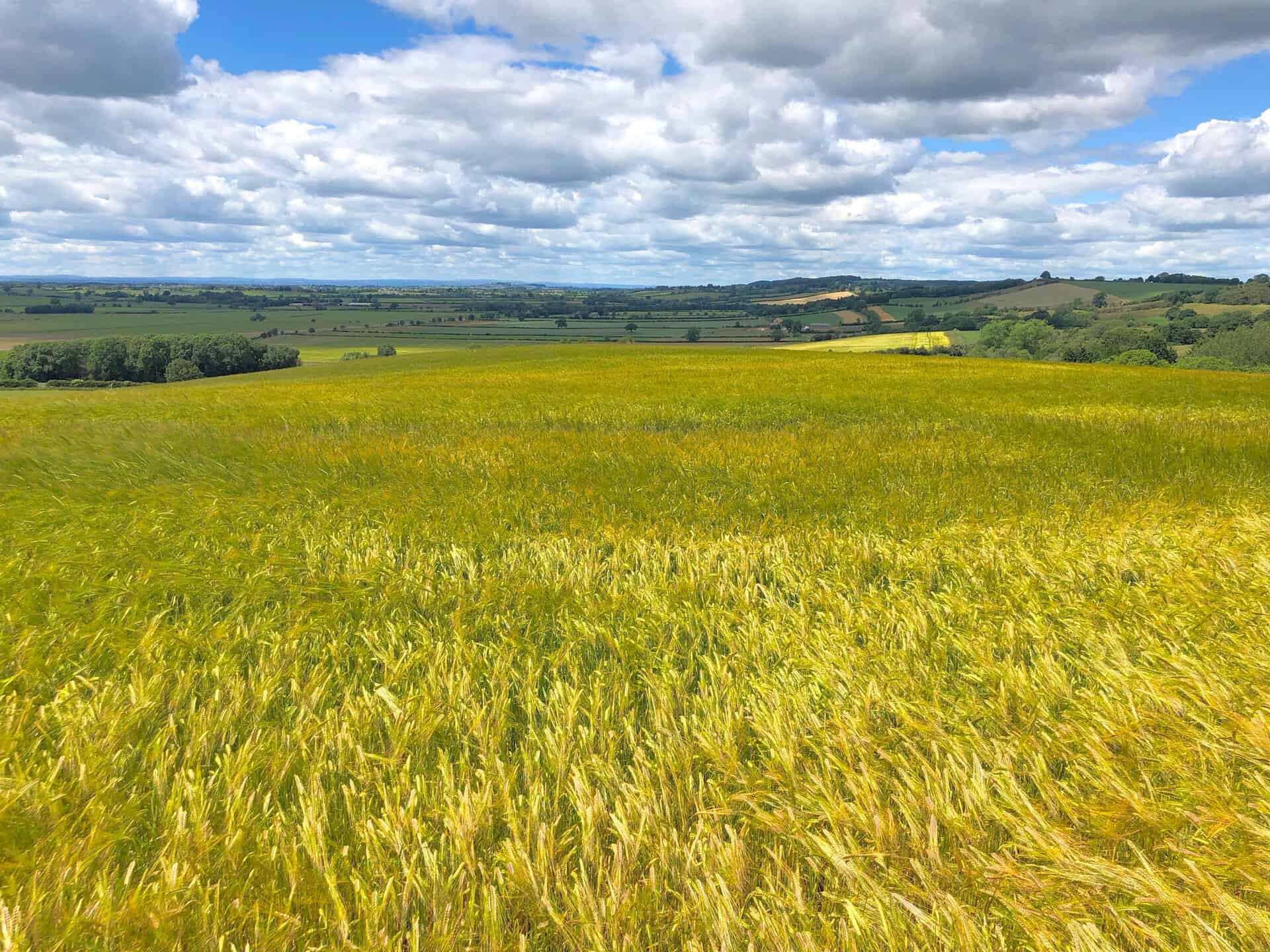
Howardian Hills Countryside
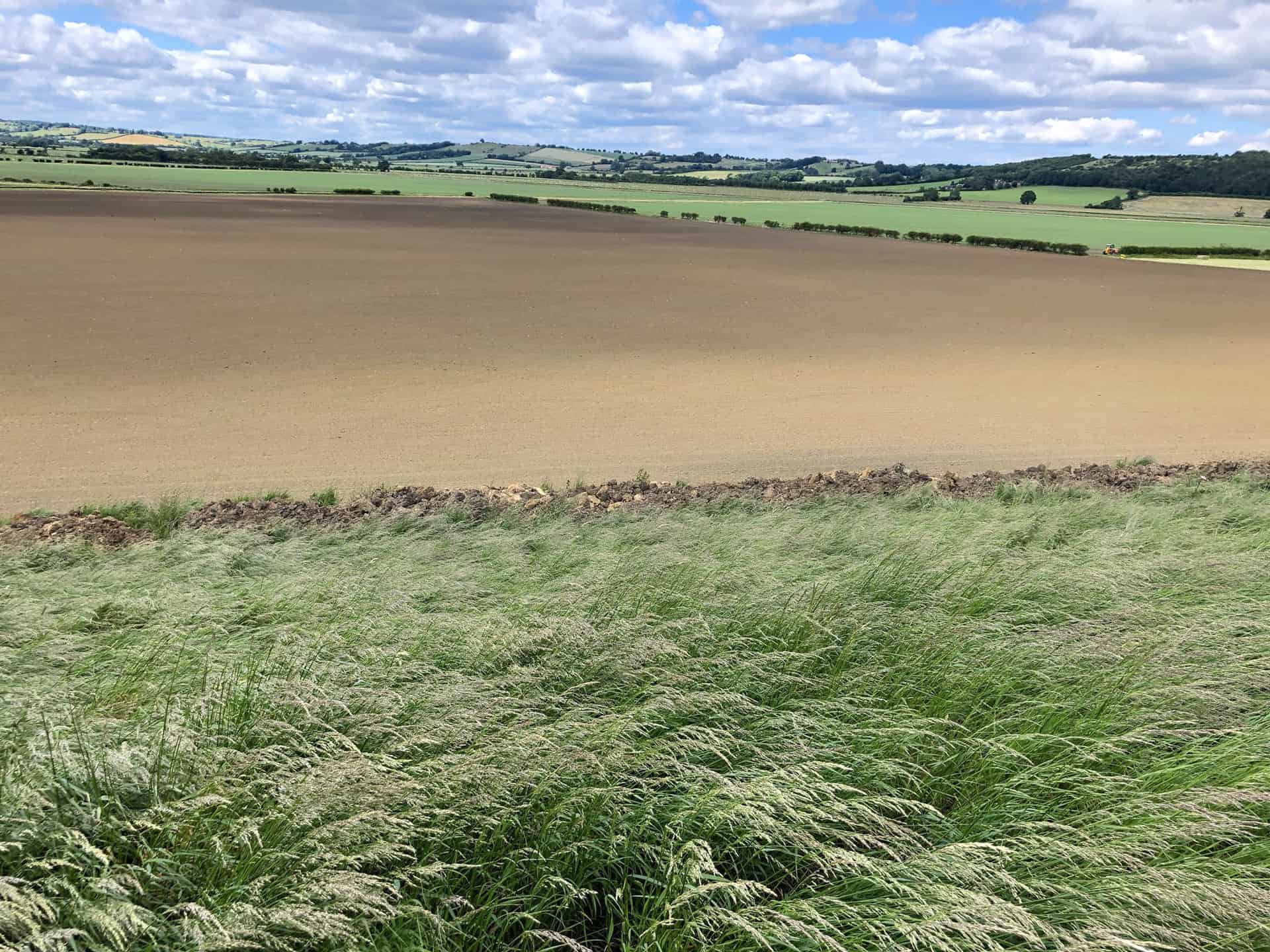
North Yorkshire’s Howardian Hills is a picturesque Area of Outstanding Natural Beauty (AONB). Spanning 79 square miles, this charming region is nestled between the Yorkshire Wolds, the North York Moors National Park, and the Vale of York. The area is named after the local land-owning Howard family and is known for its captivating landscapes and diverse wildlife.
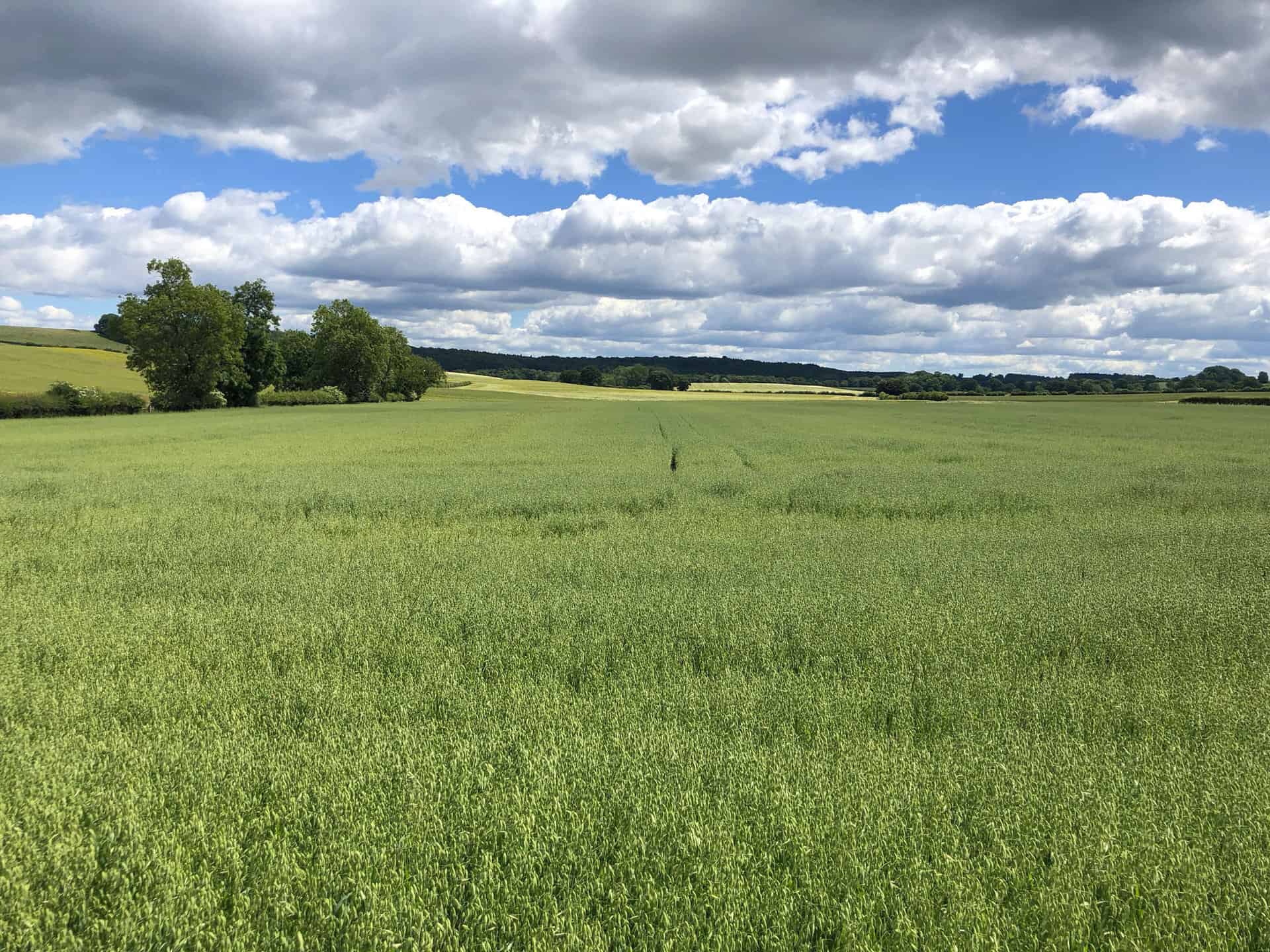
The Howardian Hills boast rolling, wooded countryside with Jurassic limestone, pastures, and vast woodlands. The 170-metre high ridges are an extension of the Hambleton Hills from the North York Moors. The River Derwent flows through the eastern edge of the hills in the Kirkham Gorge, a deep valley formed by glacial Lake Pickering.
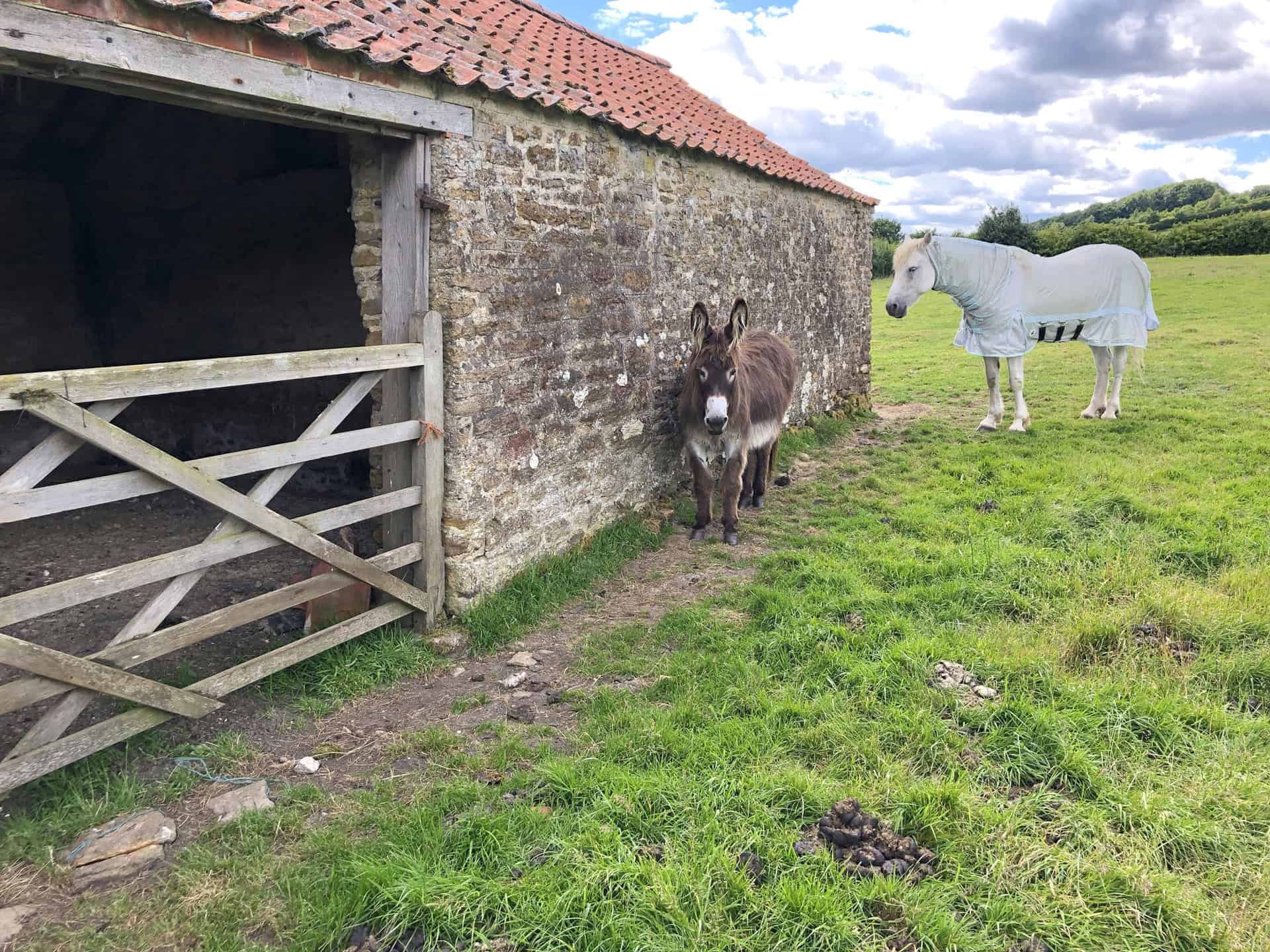
Although no towns lie within the AONB, Helmsley and Malton, two market towns, are situated just outside the boundary. The region also includes a series of spring line villages from Malton to Hovingham and the village of Ampleforth, which is home to the Abbey and College. Many older buildings in the area are built from local limestone with red pantile roofs.
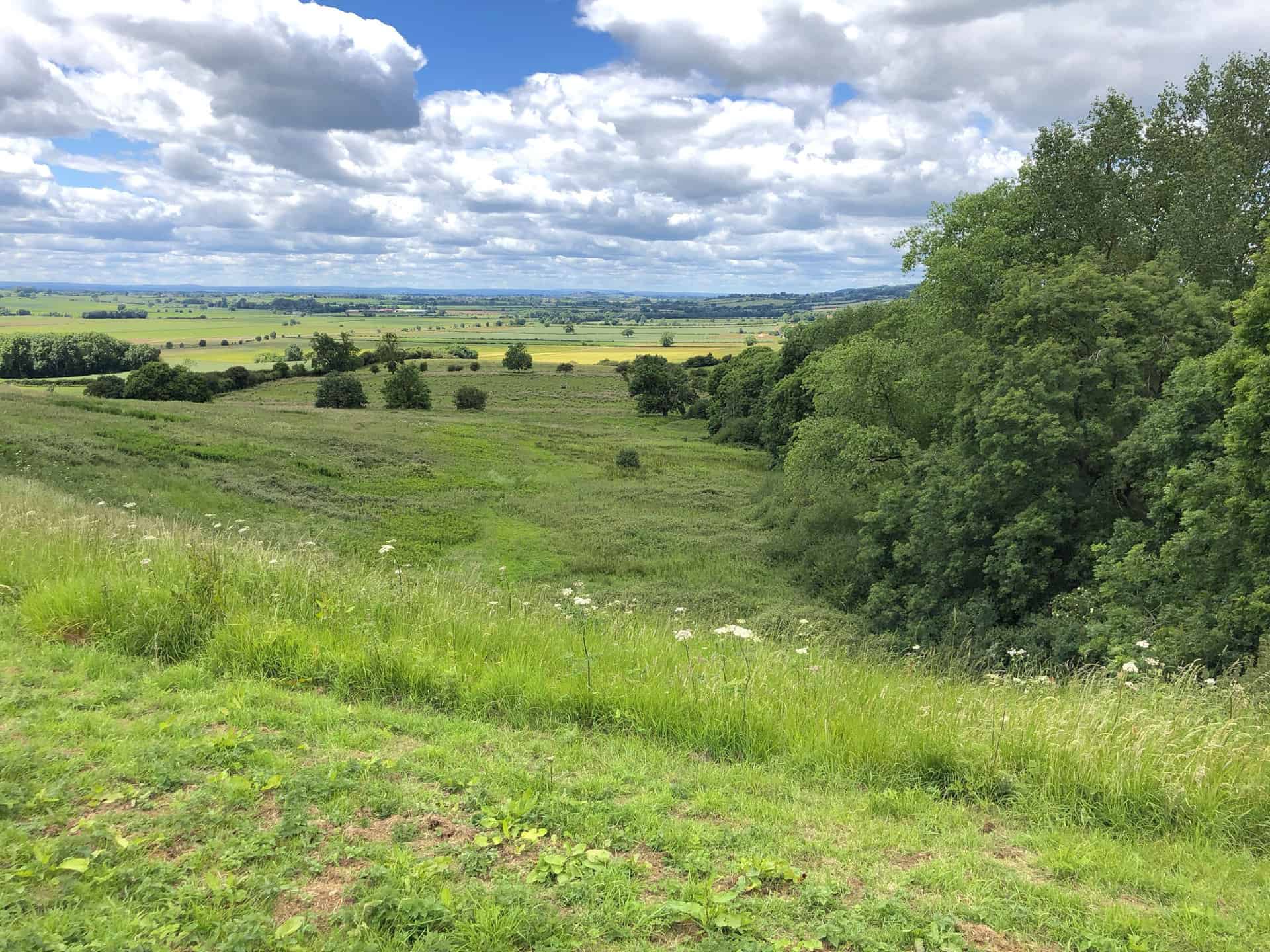
The land in the Howardian Hills is primarily used for high-quality arable farming, pasture, and managed woodland, creating a diverse rural landscape. The AONB supports several nationally important Biodiversity Action Plan (BAP) Priority habitats, including lowland broadleaved woodland, wood pasture, veteran trees, limestone, and neutral grasslands and fen meadows. The area is inhabited by species such as brown hare, lapwing, tree sparrow, and barn owl, as well as rare species like knapweed broomrape and baneberry.
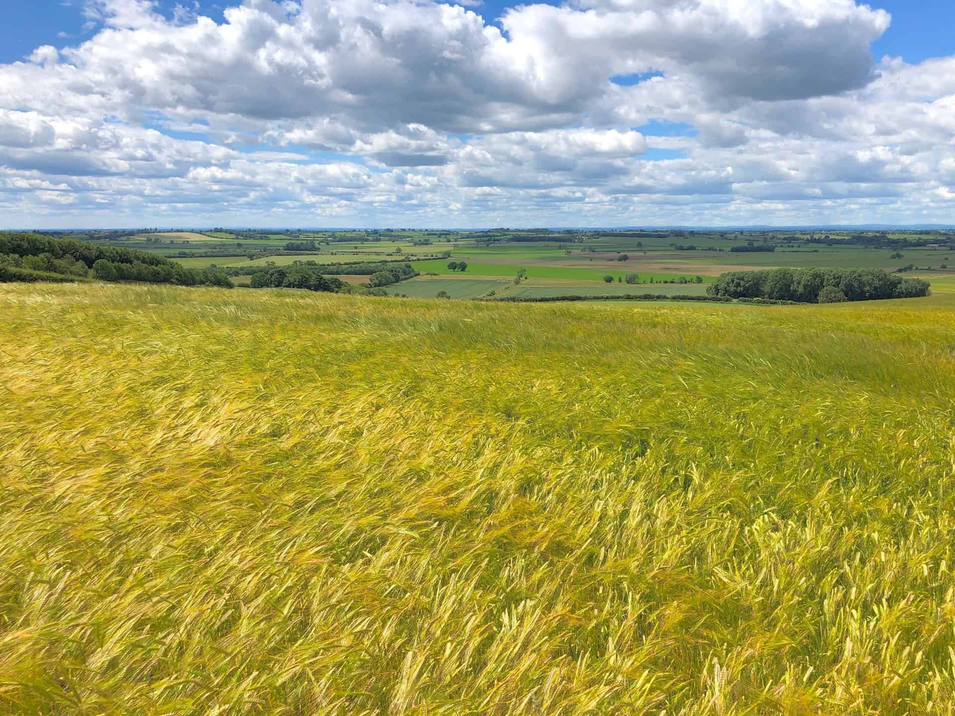
The AONB designation for the Howardian Hills is due to a blend of special qualities, including its unique landform, varied landscape, visual appeal, rich heritage, and vital wildlife resources. It is the only area of Jurassic limestone in Northern England with AONB status, attracting both locals and visitors. Furthermore, the region is enriched by archaeological and historic features, including Iron Age earthworks, medieval castles, and grand houses like Castle Howard, Newburgh Priory, Hovingham Hall, Gilling Castle, and Nunnington Hall.
Sheriff Hutton Castle
Nestled in the picturesque village of Sheriff Hutton in North Yorkshire, the Sheriff Hutton Castle is a fascinating quadrangular ruin that offers a window into the country’s medieval past. With a history dating back to the 12th century, this once-magnificent sandstone structure has seen many powerful figures walk through its halls, including King Richard III.
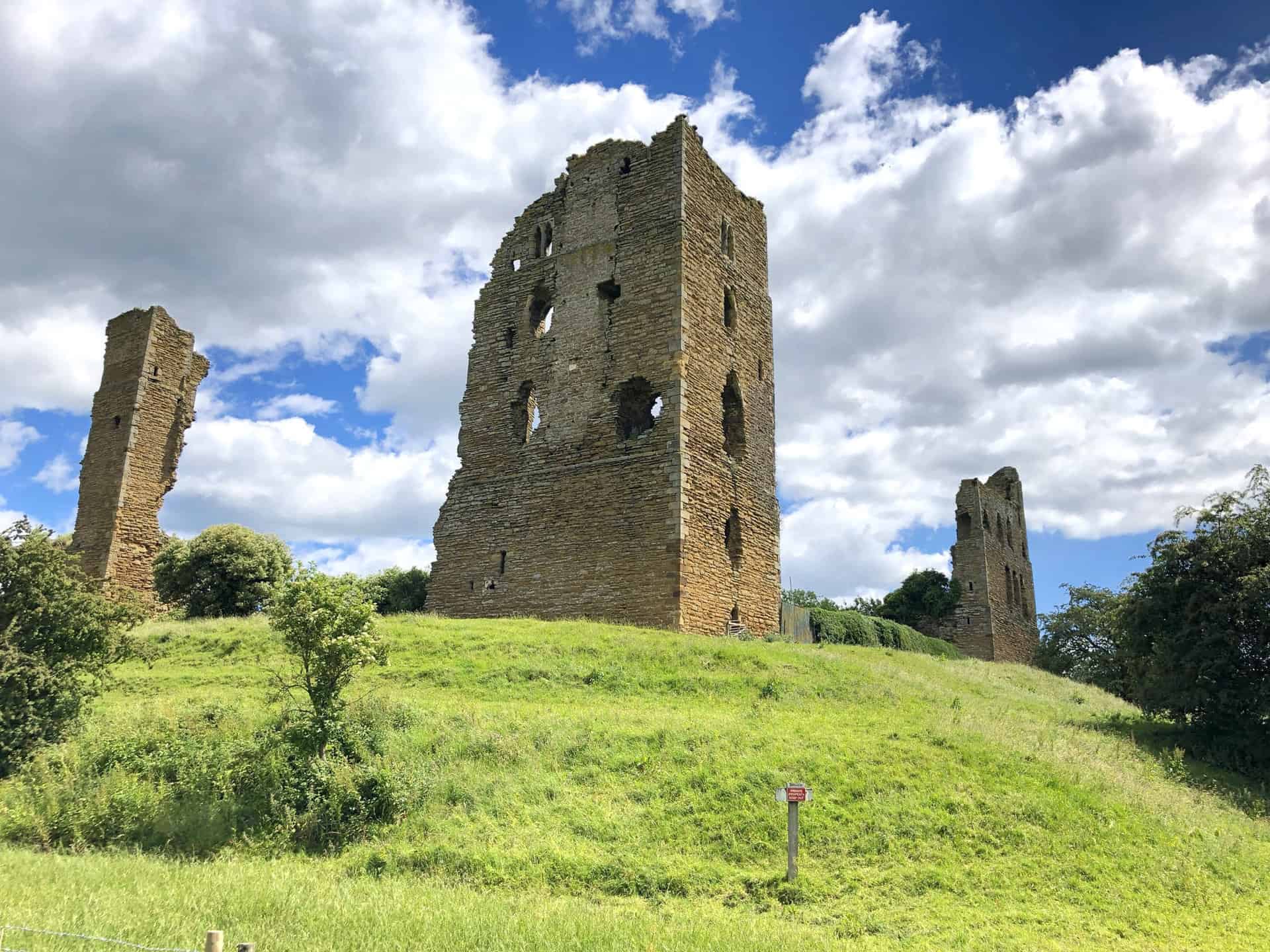
The origins of Sheriff Hutton Castle can be traced back to the reign of King Stephen (circa 1135-1154), when Bertram de Bulmer, Sheriff of York, built a motte and bailey castle in the Forest of Galtres. The remains of this original construction can still be seen today, located to the south of the village churchyard. However, the more well-known stone castle was built in the late 14th century by John, Lord Neville, at the western end of the village.
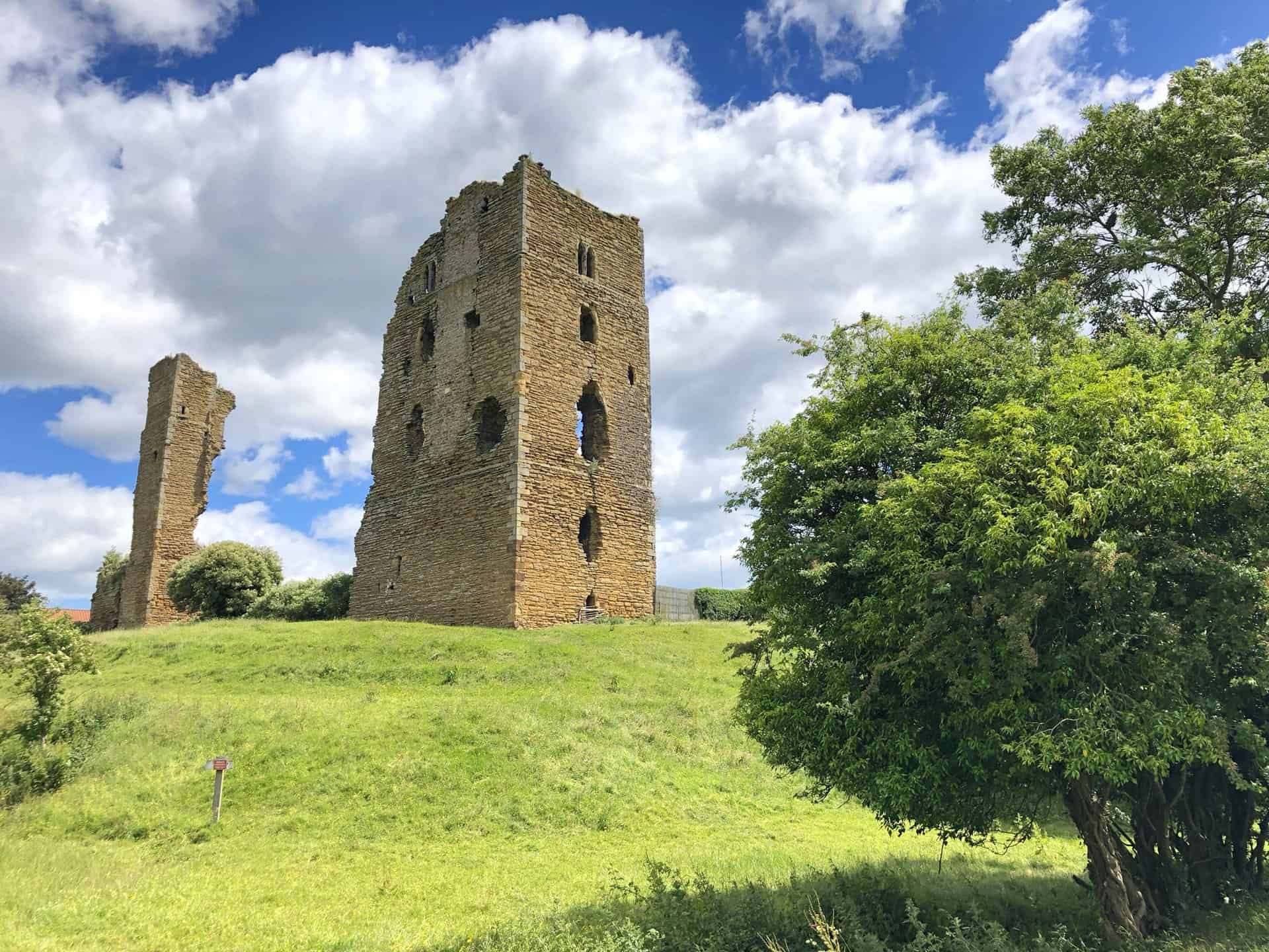
The castle was passed down to Ralph Neville, the first Earl of Westmorland, and later to Richard Neville, 5th Earl of Salisbury. During this time, it underwent several changes of ownership and played host to various notable individuals. In 1484, Richard III established a royal household for young nobles at Sheriff Hutton, including Edward, Earl of Warwick, and John de la Pole, 1st Earl of Lincoln. He also founded the Council of the North, with its headquarters at Sheriff Hutton and Sandal Castle, an institution that lasted for a century and a half.
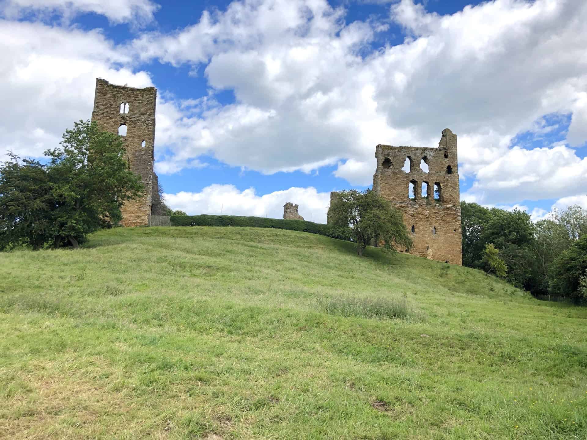
After the death of Richard III at the Battle of Bosworth, Sheriff Hutton Castle became the property of Henry VII. Subsequently, it was used by the Howard family and later sold to the Ingram family in 1622. Despite undergoing some repairs, the castle eventually fell into disrepair and was eventually designated a scheduled ancient monument in the 1950s.
Today, Sheriff Hutton Castle stands as a testament to England’s rich history, with sections of its towers remaining as evidence of its former grandeur. The site, which is privately owned, is a Grade II listed building and internationally recognised as an important structure. While the castle is not open to the public, visitors to the village can still catch glimpses of its ruins, which serve as a reminder of a bygone era.
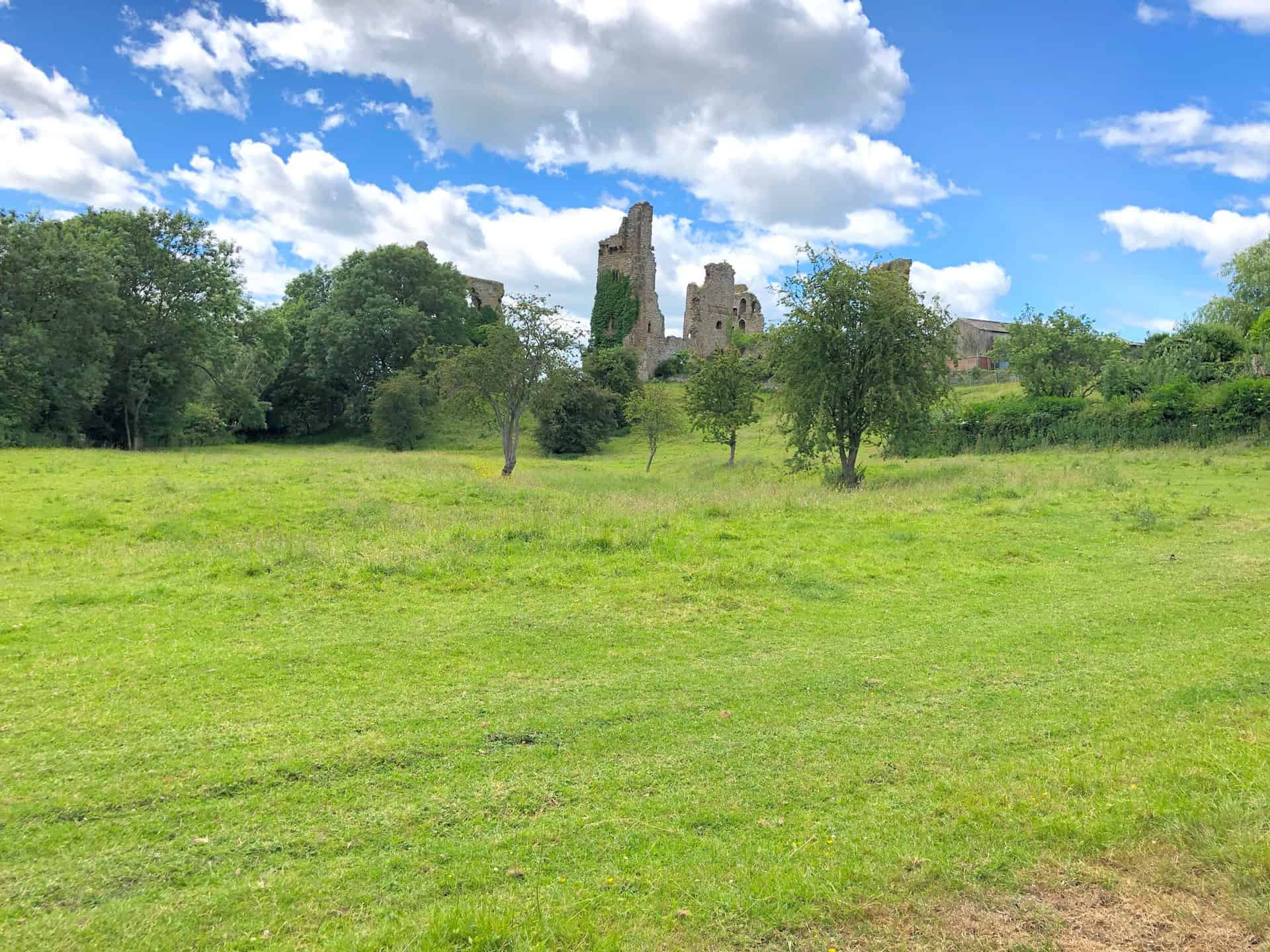
Sheriff Hutton
North Yorkshire’s Sheriff Hutton is a village rich in history and a thriving community spirit. Boasting a heritage that dates back to the Norman era, this picturesque village is nestled between the Vale of York and the Howardian Hills. It is a place where history intertwines with modern life, as seen in the 14th-century Neville Castle ruins that tower over the village.
In the heart of Sheriff Hutton, visitors will find the 900-year-old Parish Church of St Helen and the Holy Cross. The village centre is also home to a Post Office and pub, The Highwayman, while the excellent primary school, methodist chapel, village hall, and a busy industrial estate further showcase the vibrant community life in Sheriff Hutton.

A predominantly rural community, Sheriff Hutton still has strong connections to farming and horse racing. The village’s 1000 inhabitants participate in a diverse range of activities, from sports and crafts to gardening and nature. With numerous accolades under its belt, including the 2000 National Village of the Year Community Award and the 2006 Community Life Award in Yorkshire, Sheriff Hutton is well-known for the warm welcome it offers to all who visit.
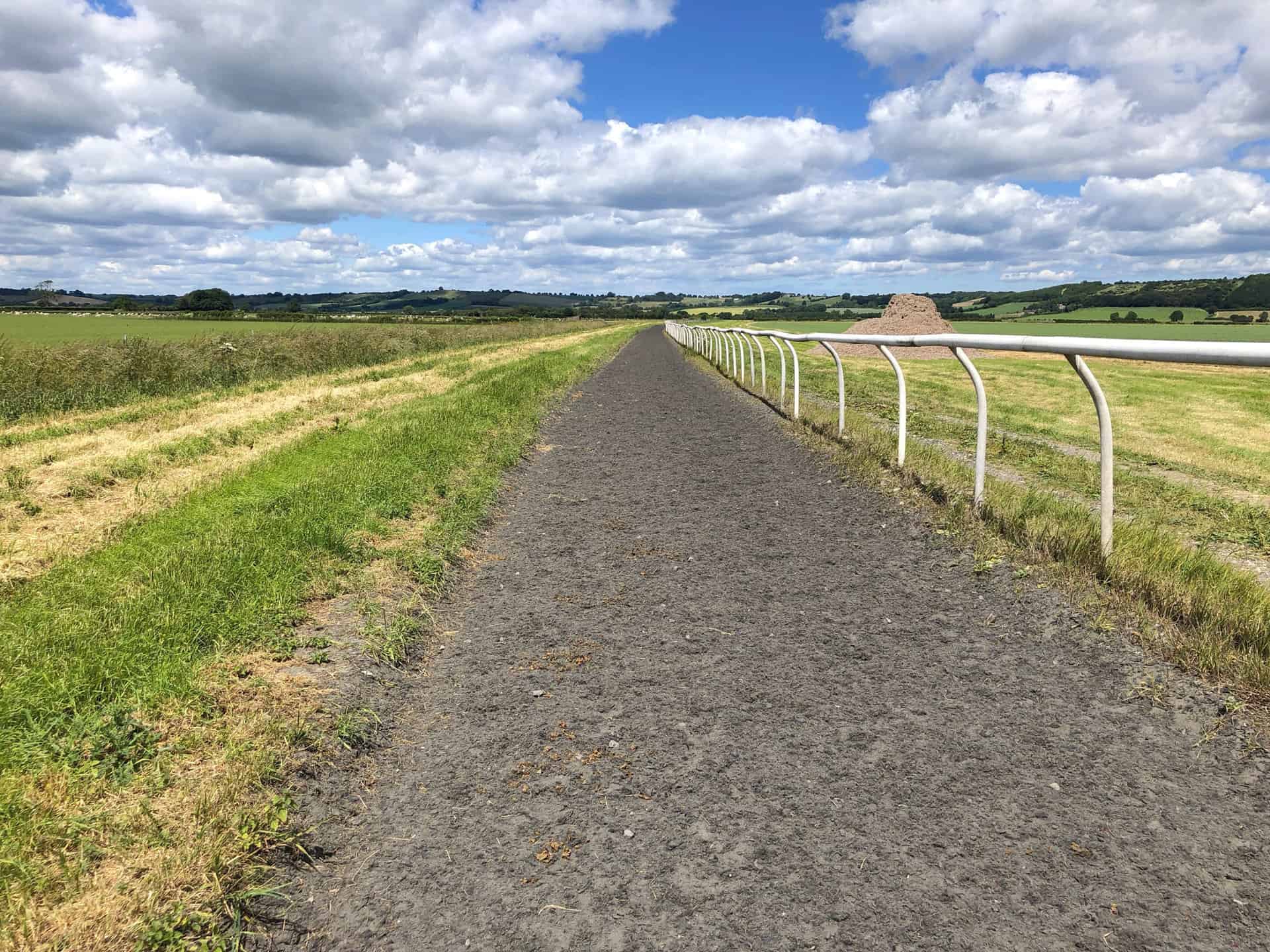
The village’s unique character is shaped by its long and fascinating history. Flint tools dating back to around 6000 BC have been discovered in the area, and Roman artefacts and crop marks suggest Roman settlement. The village has two castles, the original Norman motte and bailey structure, and the later 14th-century Neville Castle, built by the powerful Neville family. Richard III is believed to have visited the village several times and established the Council of the North, which met in York or Sheriff Hutton.
South of the castle lies Sheriff Hutton Park, with a house built by Sir Arthur Ingram in 1621. The original Jacobean architecture now sits hidden within the Queen Anne exterior added in 1732. The village church also boasts significant historical connections, including Plantagenet symbols in its stained glass windows and the tomb of Edward, Prince of Wales, son of Richard III and Anne Neville.
Amazon’s Top Walking Boots: Four Standout Choices for Men and Women
For walking and hiking, the right boots are essential for both comfort and safety. While Amazon boasts a wide range, certain boots emerge as top-sellers. From those, here are four I personally favour. As an Amazon affiliate, I may earn a small commission from any purchases made through the links provided. This helps support the upkeep of this website. Rest assured, you won’t pay a penny extra, but your purchase will contribute to keeping my site running smoothly. Happy walking!

Berghaus Men’s Hillmaster II Gore-Tex Walking Boots
These fully waterproof leather walking boots feature a Gore-Tex lining, ensuring no water enters whilst allowing feet to breathe and stay cool. Made from full-grain leather, they promise unmatched durability and comfort. The boots come with memory foam tongues and cuffs that mould to your feet for a tailored fit, and the Vibram Hillmaster outsoles offer confidence on challenging terrains.

Salewa Men’s Mountain Trainer Mid Gore-Tex Walking Boots
Made from durable suede and abrasion-resistant textile, these men’s hiking boots are both lightweight and sturdy. The upper material is enhanced by a 360° full rubber sheath. Their dual-layer midsole with Bilight technology ensures ergonomic cushioning and grip, especially on extended hikes. The Vibram Wrapping Thread Combi outsoles allow a natural walking feel, and the Gore-Tex lining provides waterproofing, breathability, and optimal weather protection. Furthermore, the patented Salewa 3F system ensures flexibility, a secure heel grip, and a blister-free fit.

Berghaus Women’s Supalite II Gore-Tex Walking Boots
Specially designed for women, these hiking boots offer waterproofing and breathability, thanks to their Gore-Tex lining. Crafted from full-grain abrasion-resistant leather, they’re durable enough for the toughest hikes. The Supalite soles ensure stability and traction, and the EVA midsoles add comfort for extended walks.

Merrell Women’s Moab 3 Mid Gore-Tex Walking Boots
These hiking boots incorporate a Gore-Tex waterproof membrane, blending breathability with superior waterproof performance. The combination of pigskin leather and mesh on the uppers, along with the suede outer material, ensure durability and style. Enhancements include 100% recycled laces, webbing, and mesh lining. Additionally, bellows tongues, protective toe caps, and Vibram TC5+ rubber soles ensure protection and ease on any terrain.