ADVERTISEMENT
Everything You Need to Know About Walking the Deepdale Horseshoe From Patterdale
Begin your Deepdale Horseshoe walk in the scenic village of Patterdale, located in the heart of the Lake District. Convenient parking is available opposite the Patterdale Hotel. Start your hike by taking the path to the right of the hotel, which climbs steadily in a south-westerly direction. Initially, it skirts around the base of the fell before ascending steeply to Thornhow End. As you continue, prepare for another challenging climb heading south. You’ll then stride across Black Crag, turning south-west towards the summit crest of Birks. This peak offers a superb spot for a restful break, allowing you to soak in the stunning vistas of the surrounding landscape.
Proceed south-west from Birks, preparing for another ascent towards the majestic St Sunday Crag. Upon reaching its broad plateau, the true summit—marked by a cairn on the eastern side—provides breathtaking views over Deepdale. Following this, your hike leads you south-west down the narrowing ridge to Deepdale Hause and then over the rugged terrain of Cofa Pike.
ADVERTISEMENT
Climbing further, you’ll eventually reach Fairfield, renowned for its extensive, flat plateau and panoramic views that encompass nearly the entire range of Lake District mountains. Navigate carefully past the summit cairn, veering south-east and then east to descend across Link Hause and ascend to Hart Crag. Here begins your descent, heading north-east towards Hartsop above How. Stay vigilant to avoid veering too far east, which might lead you down into Houndshope Cove.
From Blake Brow, continue your descent as the path becomes more defined towards Hartsop above How. This ridge offers one of the best descents in the Lake District, characterised by gentle slopes, narrow ridges, and dramatic views into Deepdale and Dovedale. Follow its crest all the way down to the trees at the base near the main road, the A592.
At the treeline, take the left-hand path and follow it through serene woodland and pasture to reach Deepdale Bridge on the A592. Turn left and stroll along the footpath back to Patterdale. This invigorating 9½-mile Deepdale Horseshoe walk is a quintessential route for any walking enthusiast in the Lakes, comparable to other renowned circuits like the Coledale Horseshoe, Newlands Horseshoe, and Kentmere Horseshoe.
Deepdale Horseshoe: Maps and Tools
Visit either the OS Maps website or the Outdooractive website to view this walking route in greater detail. Both platforms offer a range of features, including the ability to print the route, download it to your device, and export the route as a GPX file. You can also watch a 3D fly-over and share the route on social media.
Deepdale Horseshoe: Distance, Duration, Statistics
Distance: 9½ miles
Distance: 15 kilometres
Duration: 5½ hours
Ascent: 3442 feet
Ascent: 1049 metres
Type: Circular walk
About the Deepdale Valley
The Deepdale valley is located near Patterdale, at the southernmost tip of Ullswater in the Lake District. The valley extends from beneath the Fairfield mountain in the south-west to Deepdale Bridge in the north-east, just south of Patterdale. Its natural boundaries include the fells of Birks and St Sunday Crag on its northern side, Fairfield at its head, and Hart Crag along with Hartsop above Howe on its southern side, all characterised by steep slopes.
The Deepdale valley is U-shaped, indicative of glacial activity, featuring steep sides and a relatively flat floor strewn with glacial moraines and deposits from the last Ice Age. Deepdale Beck flows through the valley from south-west to north-east, passing under Deepdale Bridge on the A592 to meet Kirkstone Beck, which then flows north to Ullswater.
The Deepdale Horseshoe walk is a celebrated circular trail, renowned for encompassing the main peaks around the valley. This trek is a highlight for those seeking a high-level ridge walking experience, offering breathtaking views and a challenging adventure. The walk starts from Patterdale and is generally undertaken in an anti-clockwise direction.
The ascent includes the Wainwright peaks of Birks and St Sunday Crag, offering splendid views down into the Grisedale valley on the northern side, and into the Deepdale valley on the southern side. The walk’s midpoint is reaching Fairfield, famous for its expansive, flat plateau and panoramic views across nearly the entire range of Lake District mountains. The route then crosses Hart Crag before descending to Hartsop above Howe, presenting lush views into the Deepdale valley to the north and the Dovedale valley to the south.
As one of the Lake District’s classic horseshoe circuits, it stands alongside other notable routes like the Coledale Horseshoe, Newlands Horseshoe, and Kentmere Horseshoe. It encompasses five Wainwright peaks: Birks at 624 metres, St Sunday Crag at 841 metres, Fairfield at 873 metres, Hart Crag at 823 metres, and Hartsop above Howe at 586 metres. Some walkers also include a sixth Wainwright, Arnison Crag at 433 metres, as the first fell from Patterdale before proceeding to Birks.
The Deepdale Horseshoe walk promises a remarkable journey through some of the most stunning landscapes the Lake District has to offer, encapsulating the essence of this majestic region.
Recommended Ordnance Survey Map
The best map to use on this walk is the Ordnance Survey map of the Lake District North-Eastern Area, reference OS Explorer OL5, scale 1:25,000. It clearly displays footpaths, rights of way, open access land and vegetation on the ground, making it ideal for walking, running and hiking. The map can be purchased from Amazon in either a standard, paper version or a weatherproof, laminated version, as shown below.
Standard Version
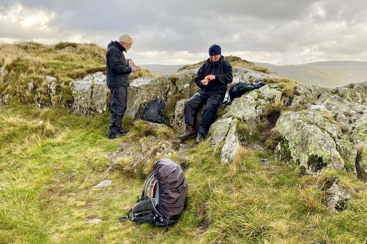
Deepdale Horseshoe: My Photos
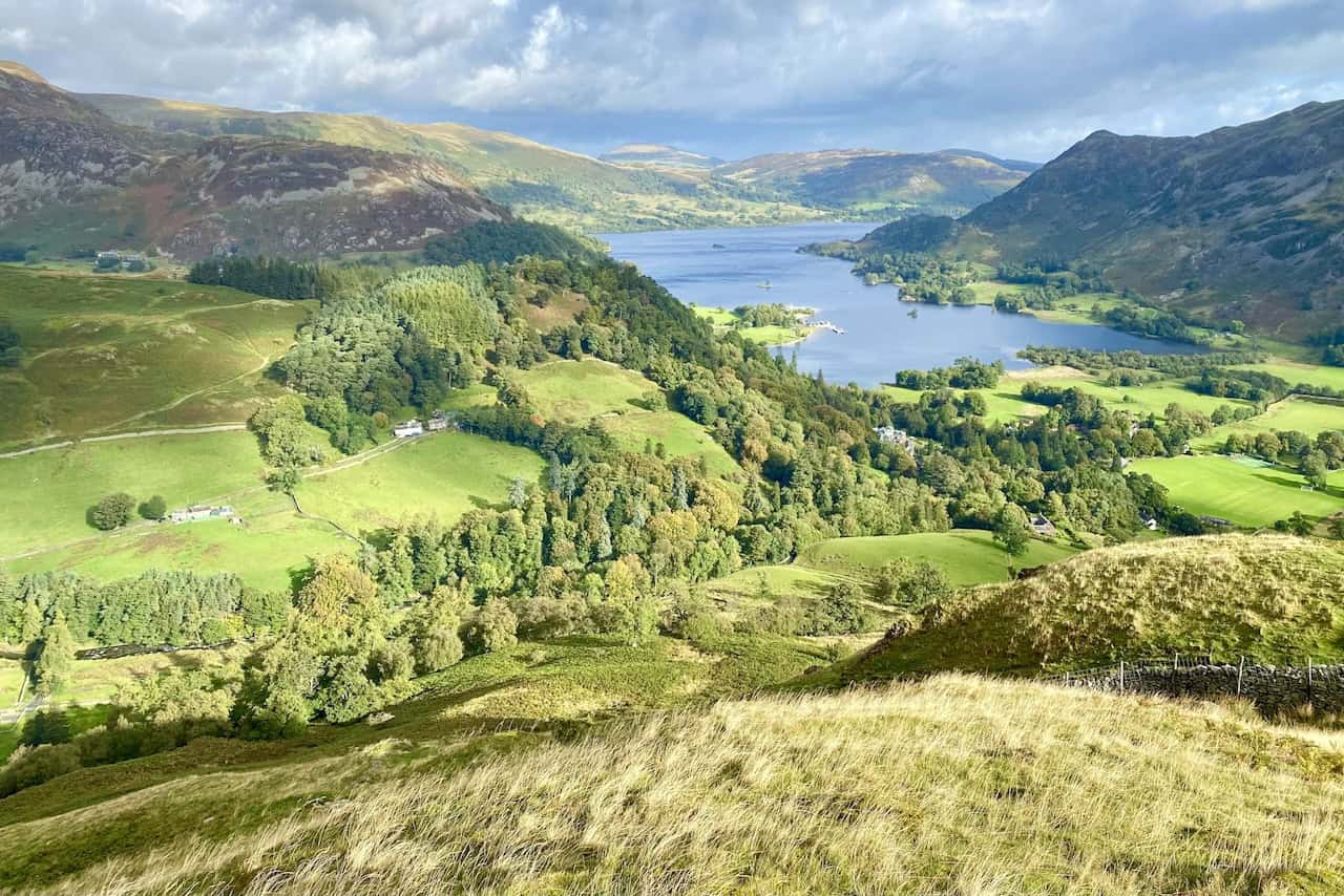
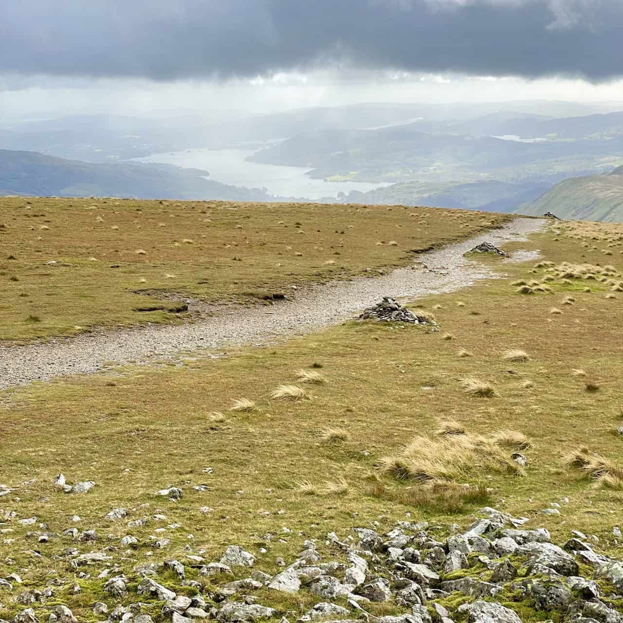
Magnificent views of Ullswater observed during the ascent of Thornbow End, not long after the start of the Deepdale Horseshoe walk.
ADVERTISEMENT
ADVERTISEMENT
ADVERTISEMENT
ADVERTISEMENT
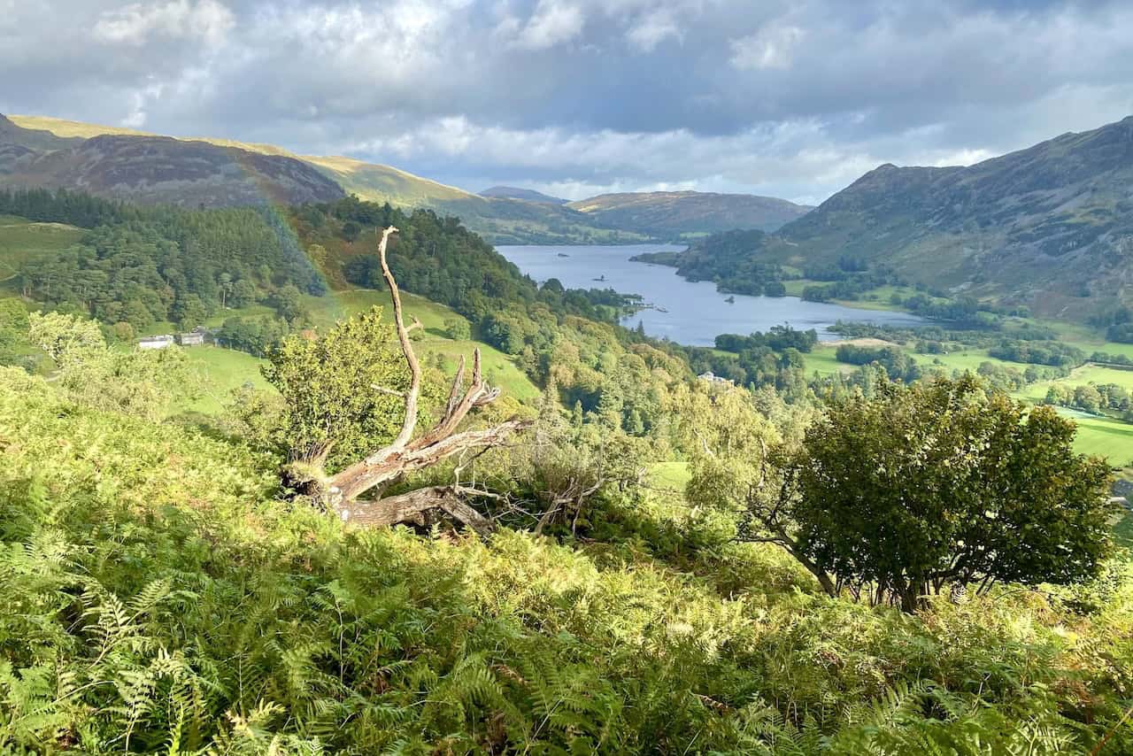
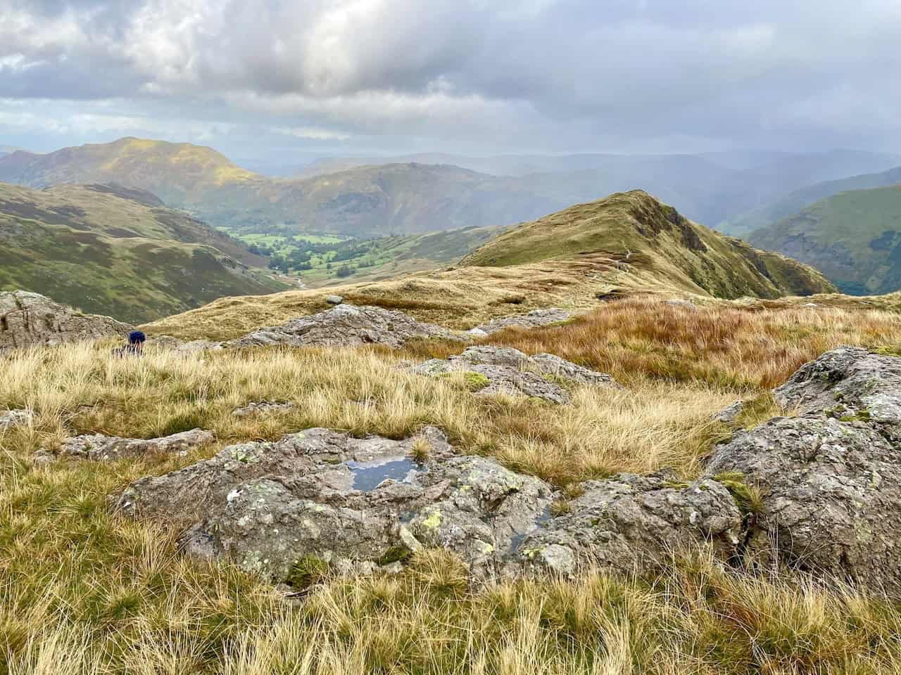
Looking down upon Grisedale, the valley which separates Birks and Birkhouse Moor.
ADVERTISEMENT
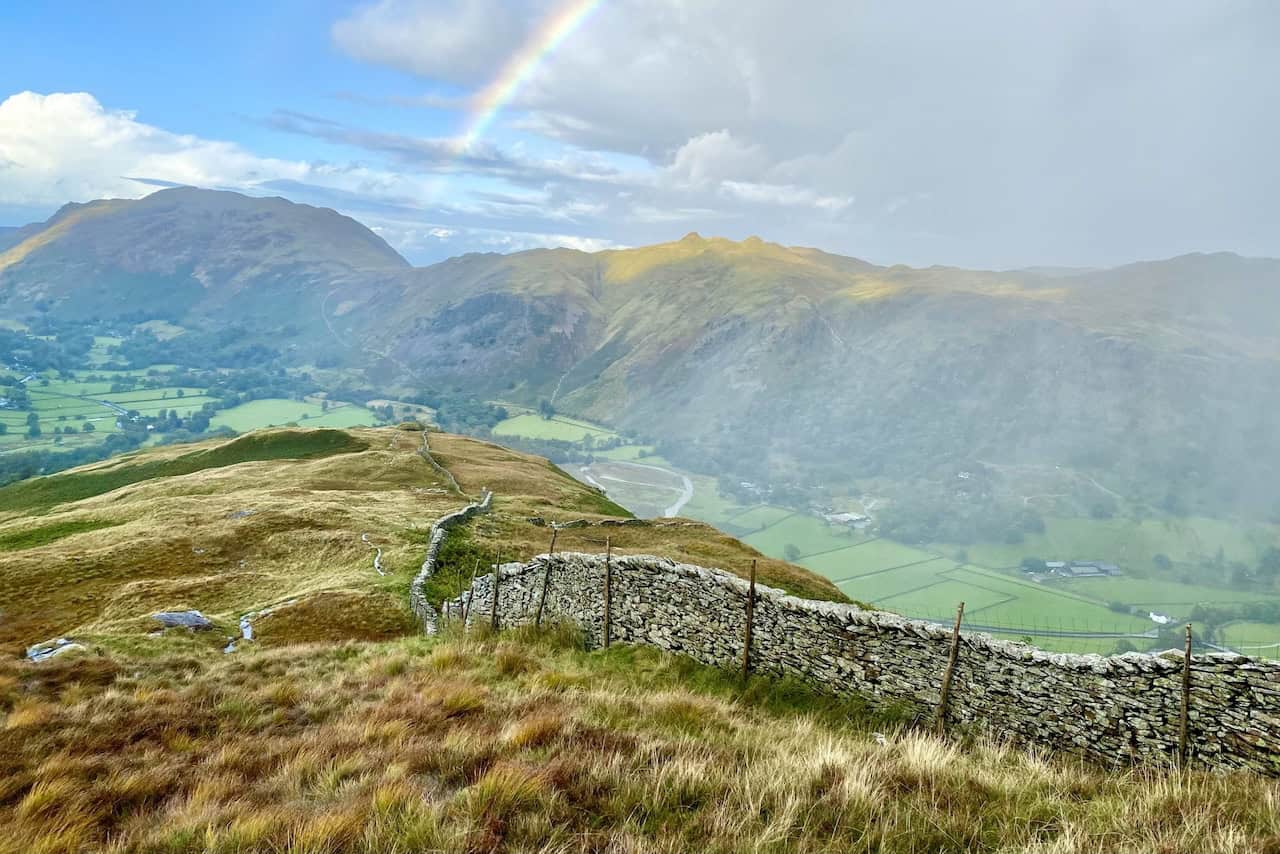
A rainbow appears as we approach the top of St Sunday Crag.
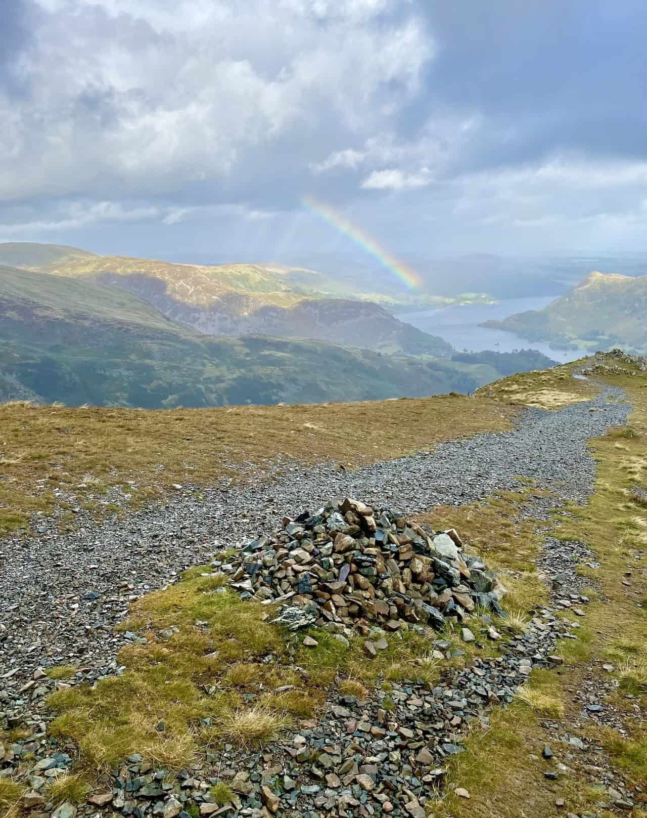
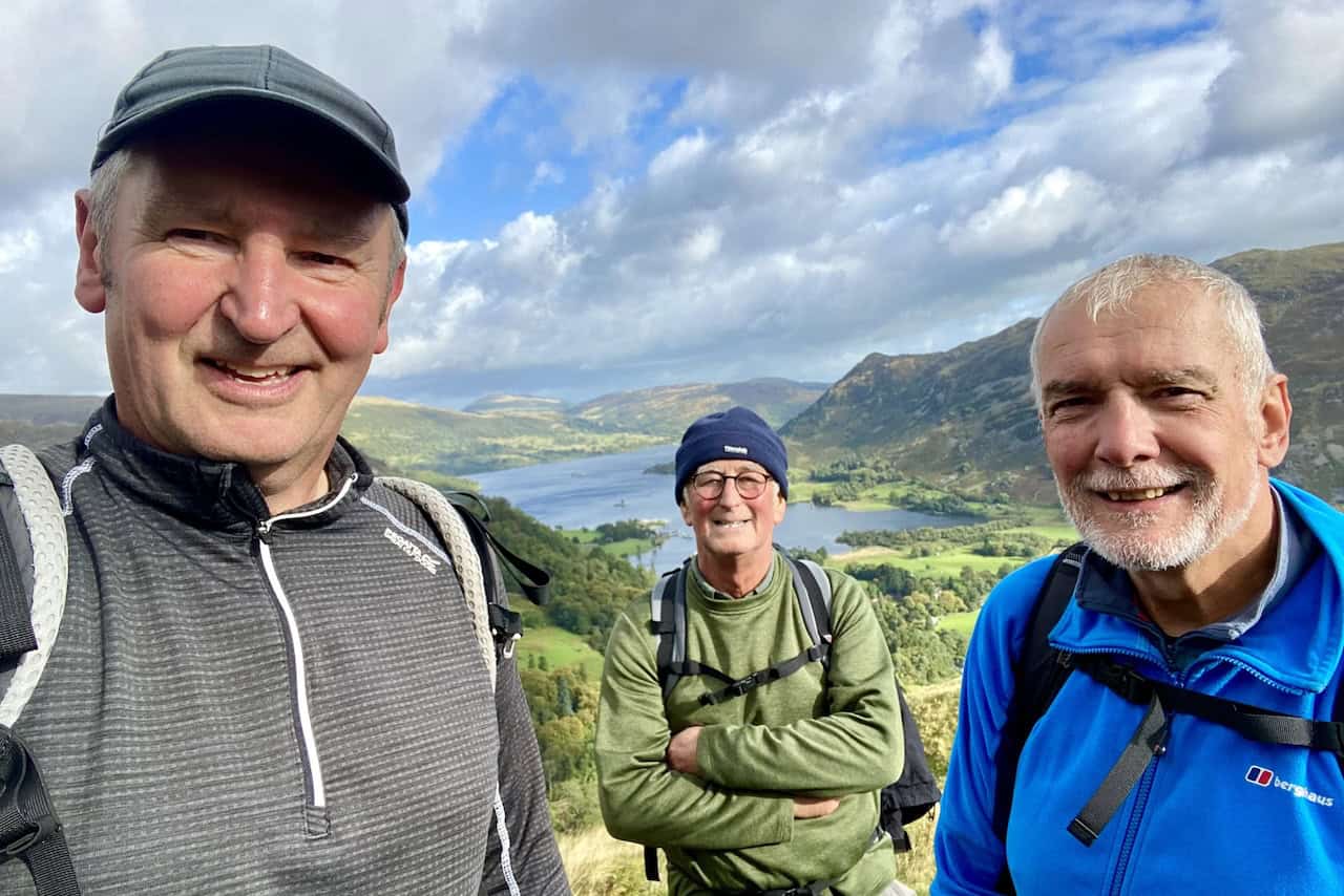
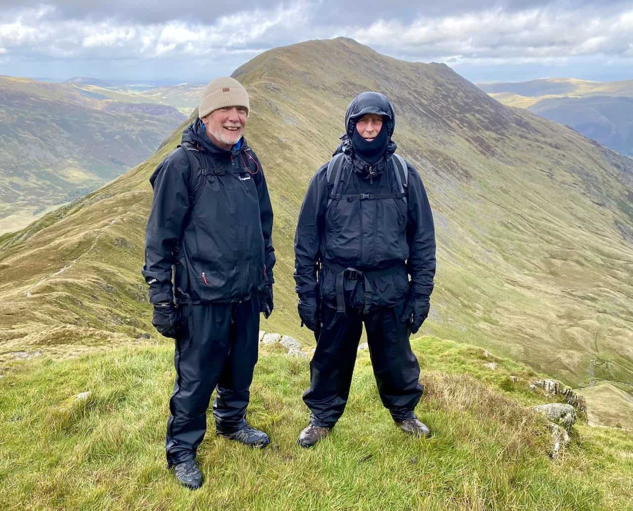
The summit of St Sunday Crag, height 841 metres (2759 feet), with Nethermost Pike and Helvellyn in the background. We’re about one-third of the way round our Deepdale Horseshoe walk.
ADVERTISEMENT
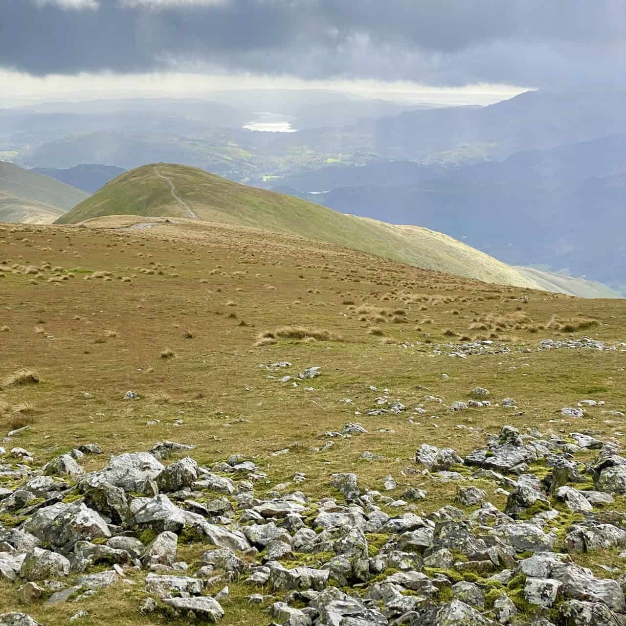
Looking across to Fairfield from the top of St Sunday Crag.
ADVERTISEMENT
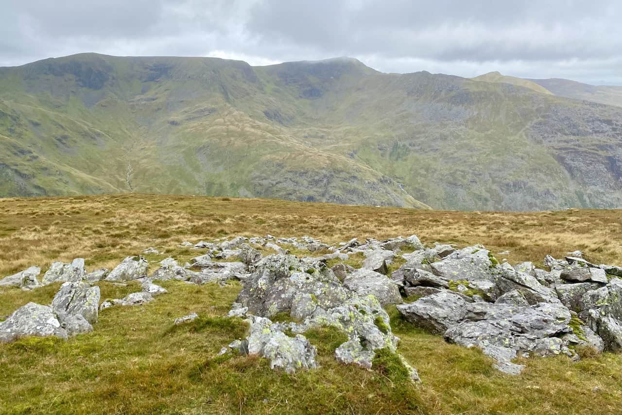
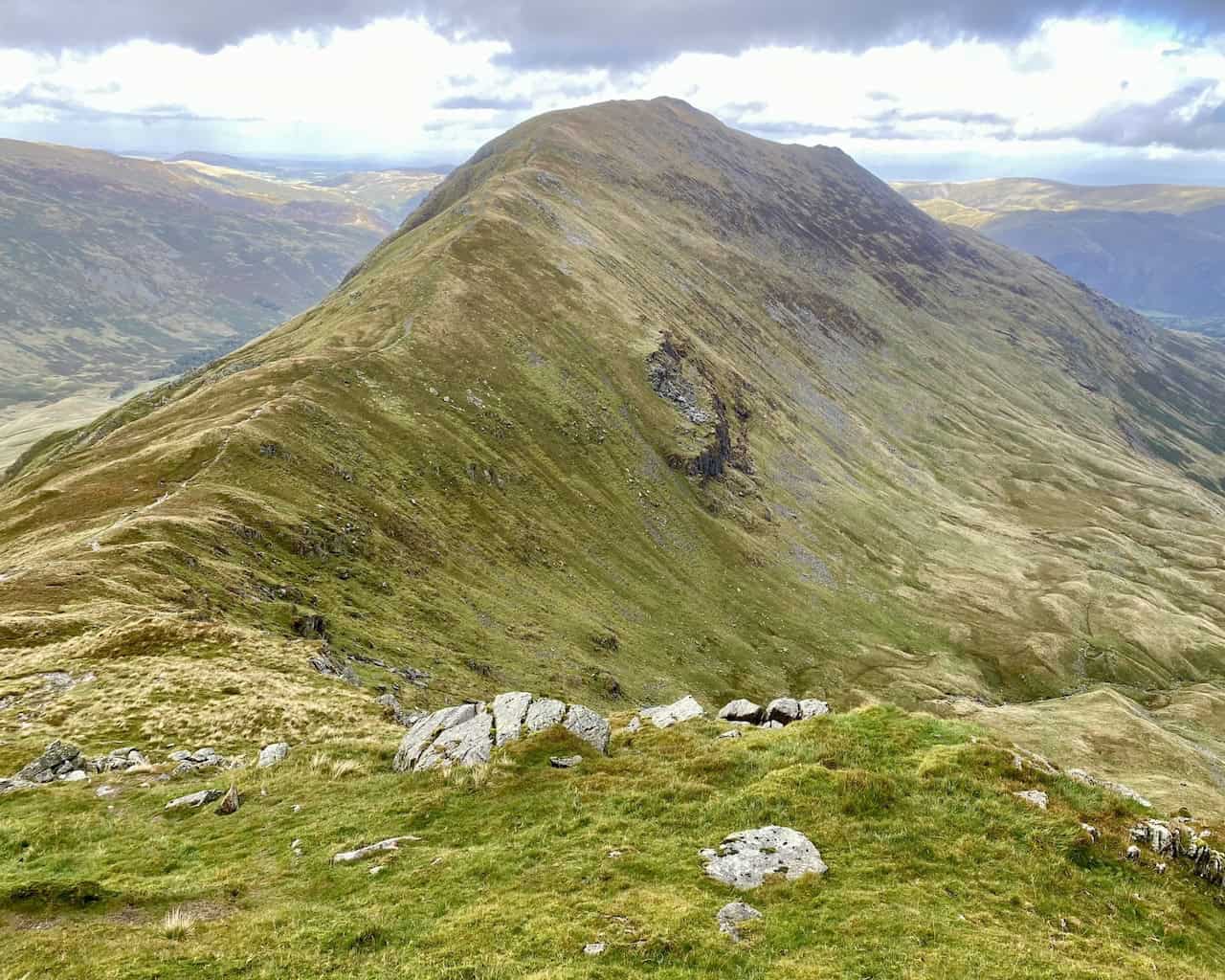
The view back to Deepdale Hause and St Sunday Crag from Cofa Pike.
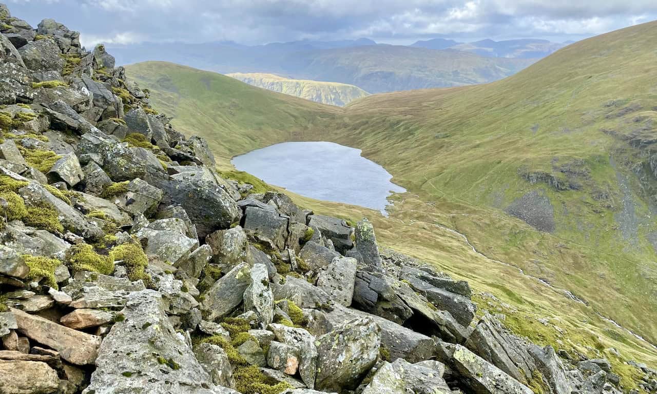
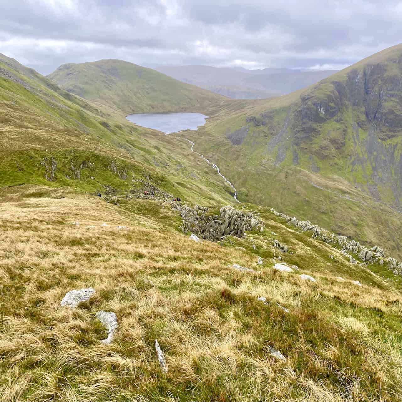
Grisedale Tarn at the head of the Grisedale valley, backed by Seat Sandal and flanked by Dollywaggon Pike and Fairfield.
ADVERTISEMENT
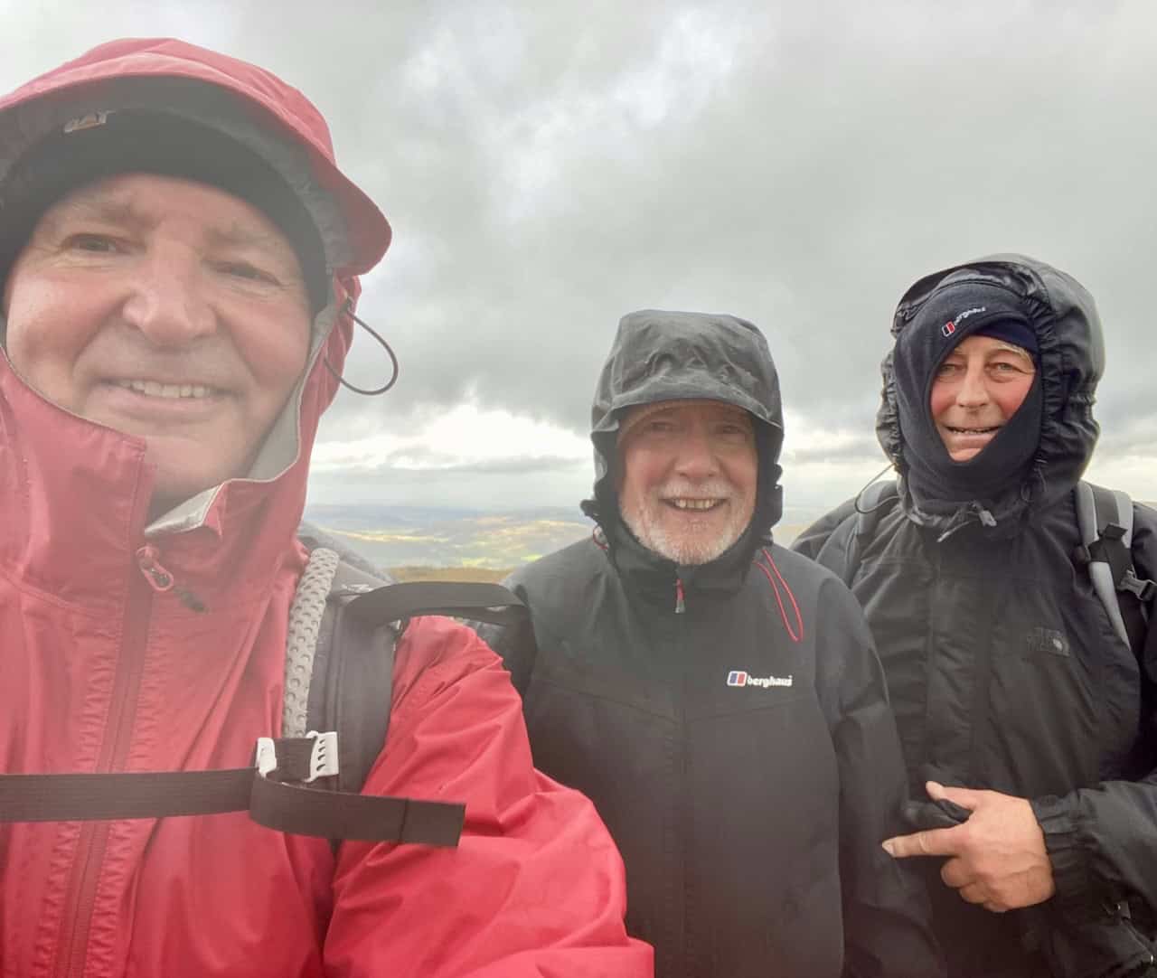
The summit of Fairfield, height 873 metres (2865 feet).
Windermere, Esthwaite Water and Coniston Water can all be seen from the Fairfield plateau, which is the highest point of the Deepdale Horseshoe.
ADVERTISEMENT
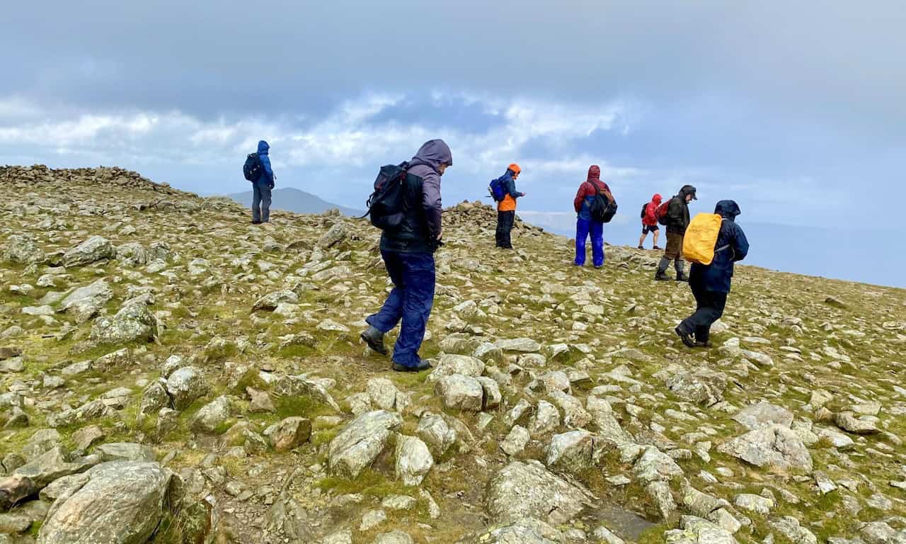
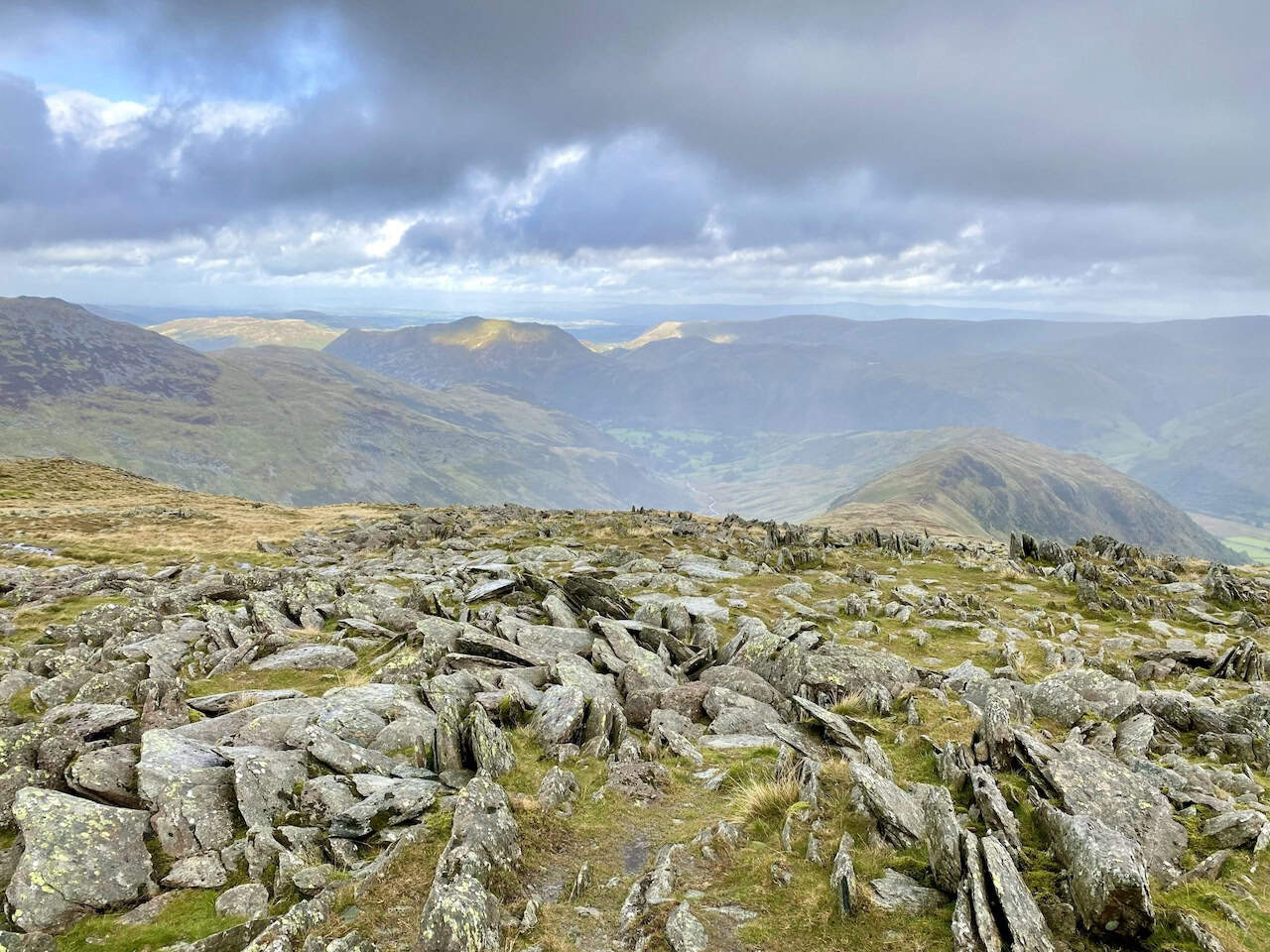
The summit of Hart Crag, height 822 metres (2697 feet).
ADVERTISEMENT
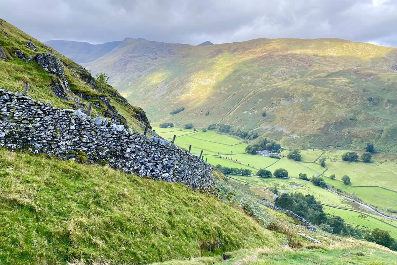
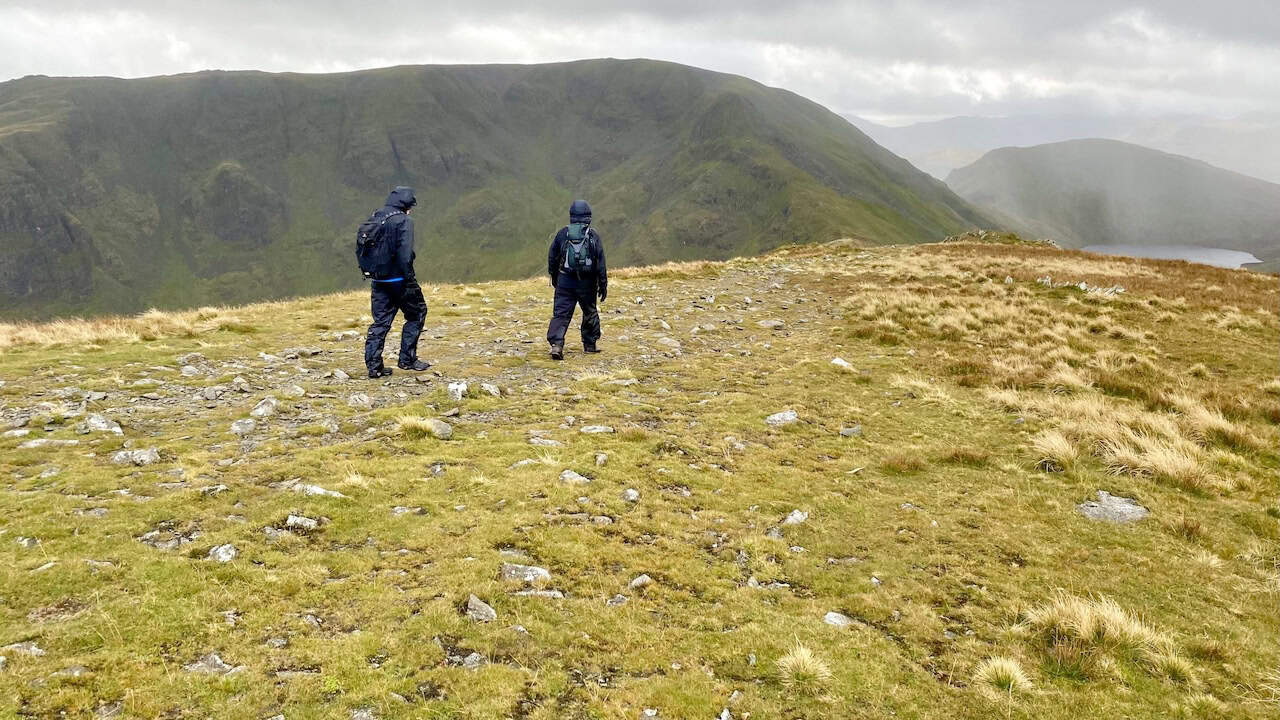
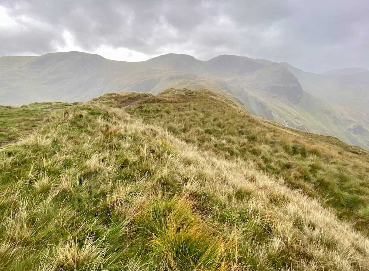
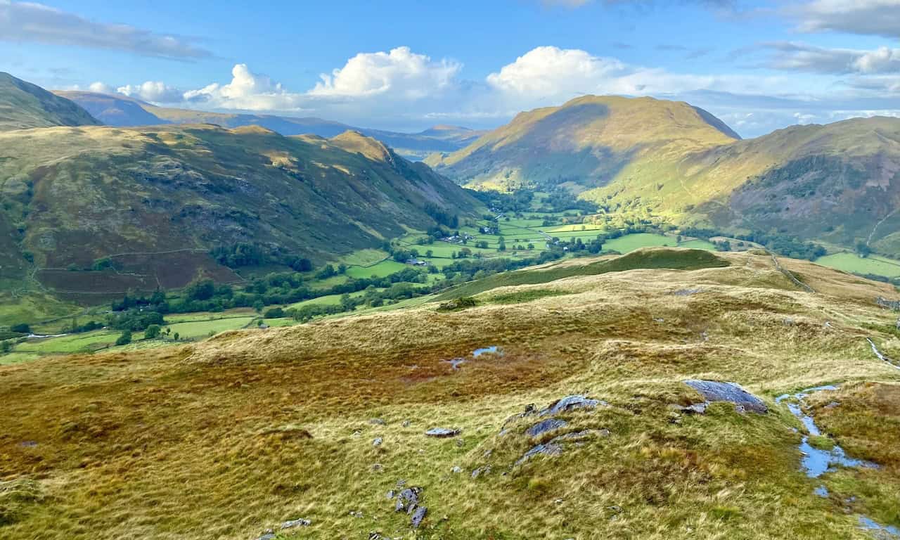
The route across Hartsop above How as seen from Blake Brow.
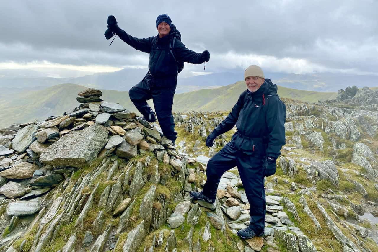
The summit of Hartsop above How, height 584 metres (1916 feet). We’re now about two-thirds of the way round our Deepdale Horseshoe walk.
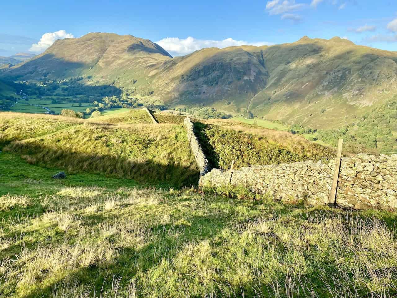
St Sunday Crag viewed from Hartsop above How.
ADVERTISEMENT
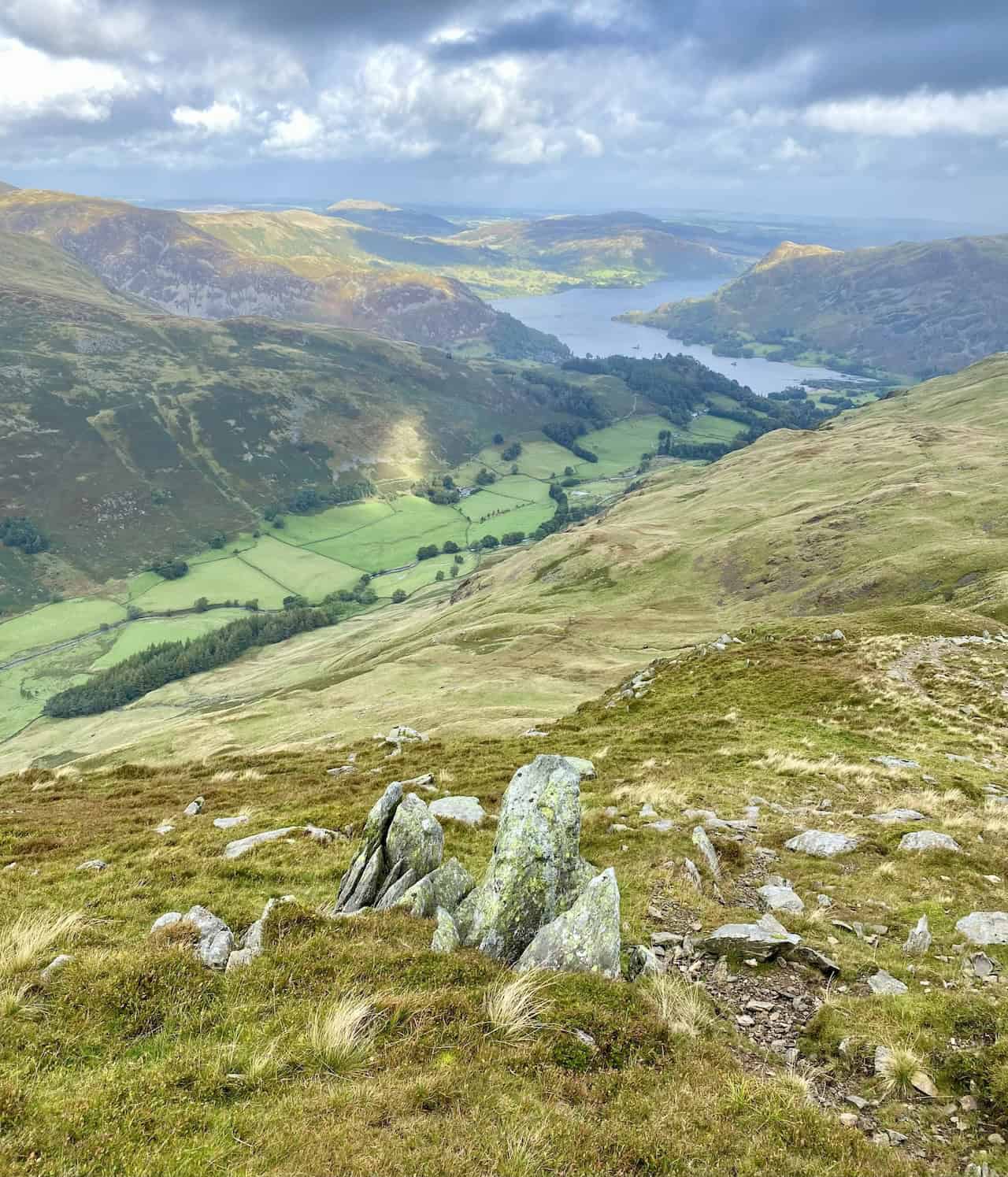
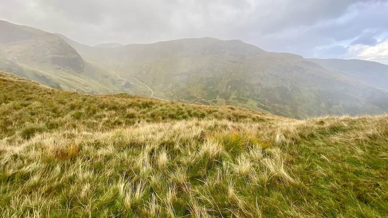
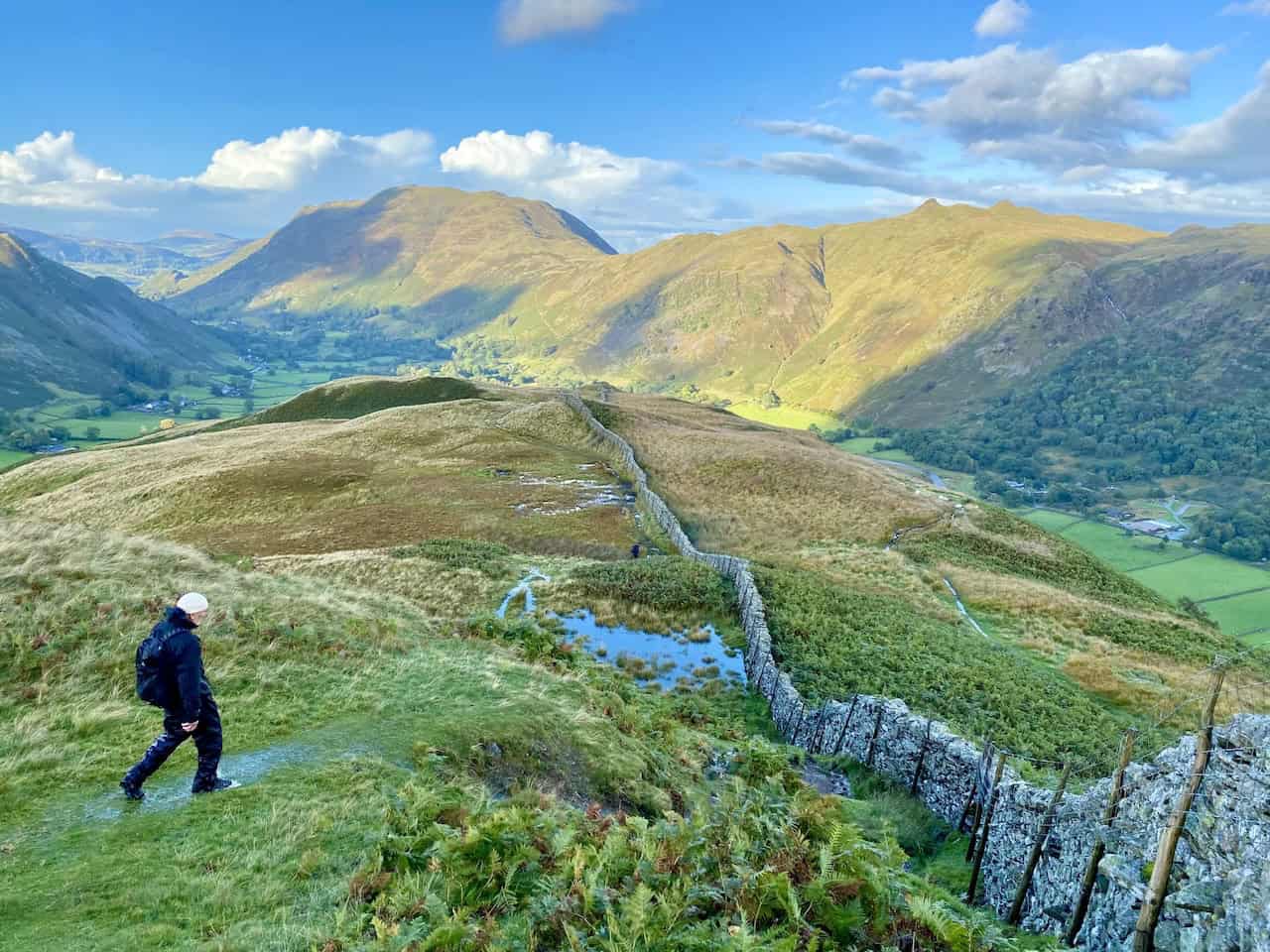
The view south-west from Hartsop above How. The three high points, from left to right, are Dove Crag, Hart Crag and Fairfield.
The sun lights Angletarn Pikes as we descend Hartsop above How. The descent is one of the many highlights of the Deepdale Horseshoe.
Looking down into Deepdale and the valley just south of Patterdale.
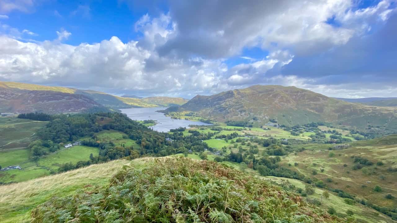
The route from Hartsop above How to Deepdale Bridge generally follows the dry stone wall and affords amazing views of the Place Fell / Angletarn Pikes / Brock Crags range of hills. A perfect end to the Deepdale Horseshoe.
ADVERTISEMENT
ADVERTISEMENT