North-east from Hubberholme to Cray, then west via Scar House to Yockenthwaite. West along the Dales Way to Beckermonds, followed by a climb to Horse Head summit. North-east along A Pennine Journey to Yockenthwaite, and back to the starting point alongside the River Wharfe. A 12-mile walk in the Yorkshire Dales.

Recommended Ordnance Survey Map
The best map to use on this walk is the Ordnance Survey map of the Yorkshire Dales Northern & Central Area, reference OS Explorer OL30, scale 1:25,000. It clearly displays footpaths, rights of way, open access land and vegetation on the ground, making it ideal for walking, running and hiking. The map can be purchased from Amazon in either a standard, paper version or a weatherproof, laminated version, as shown below.
Standard Version
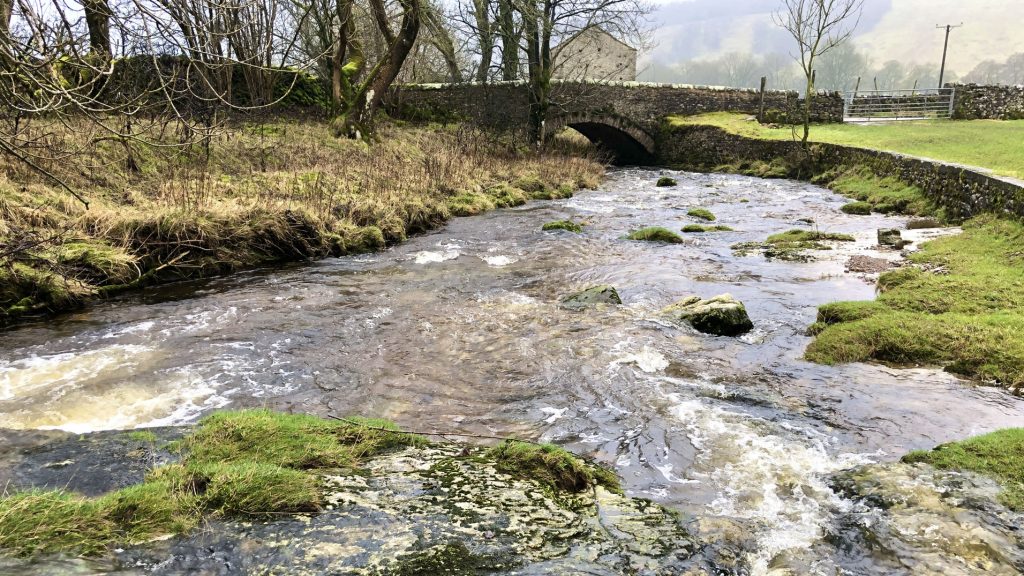
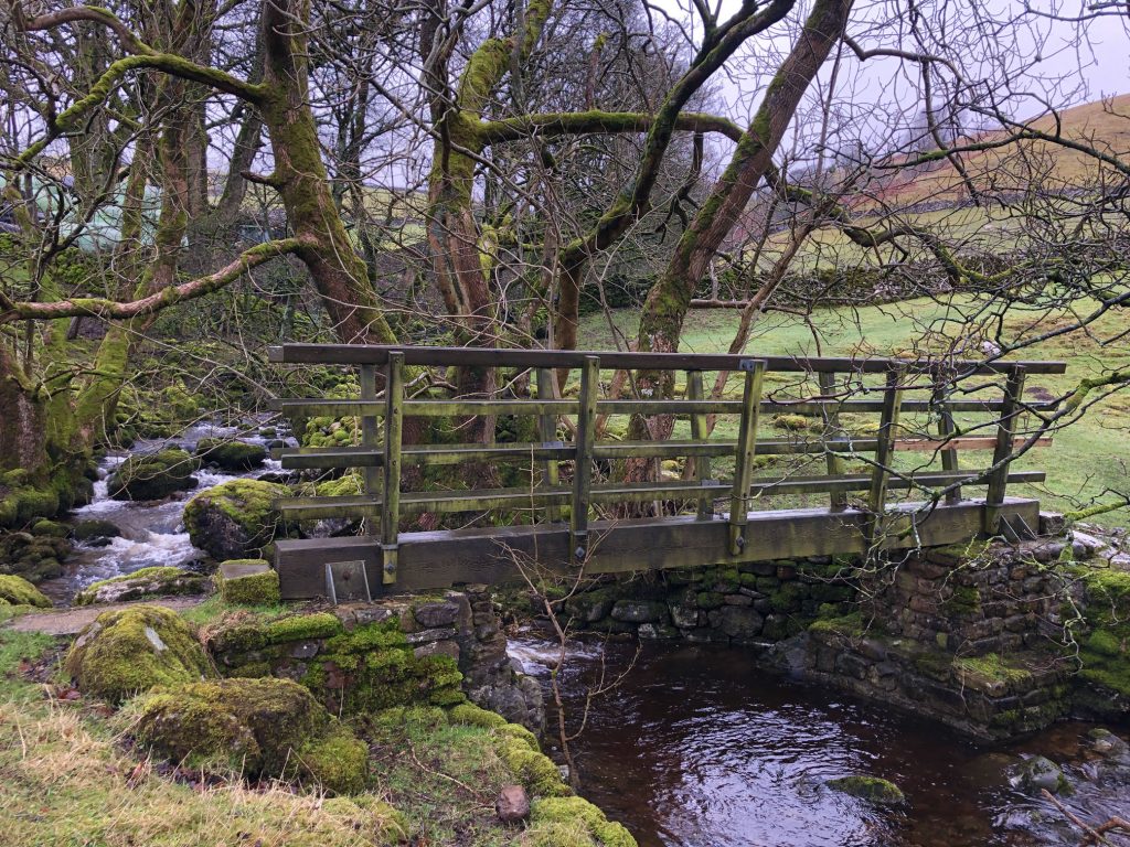
Cray Gill flowing under Stubbing Bridge just east of Hubberholme.
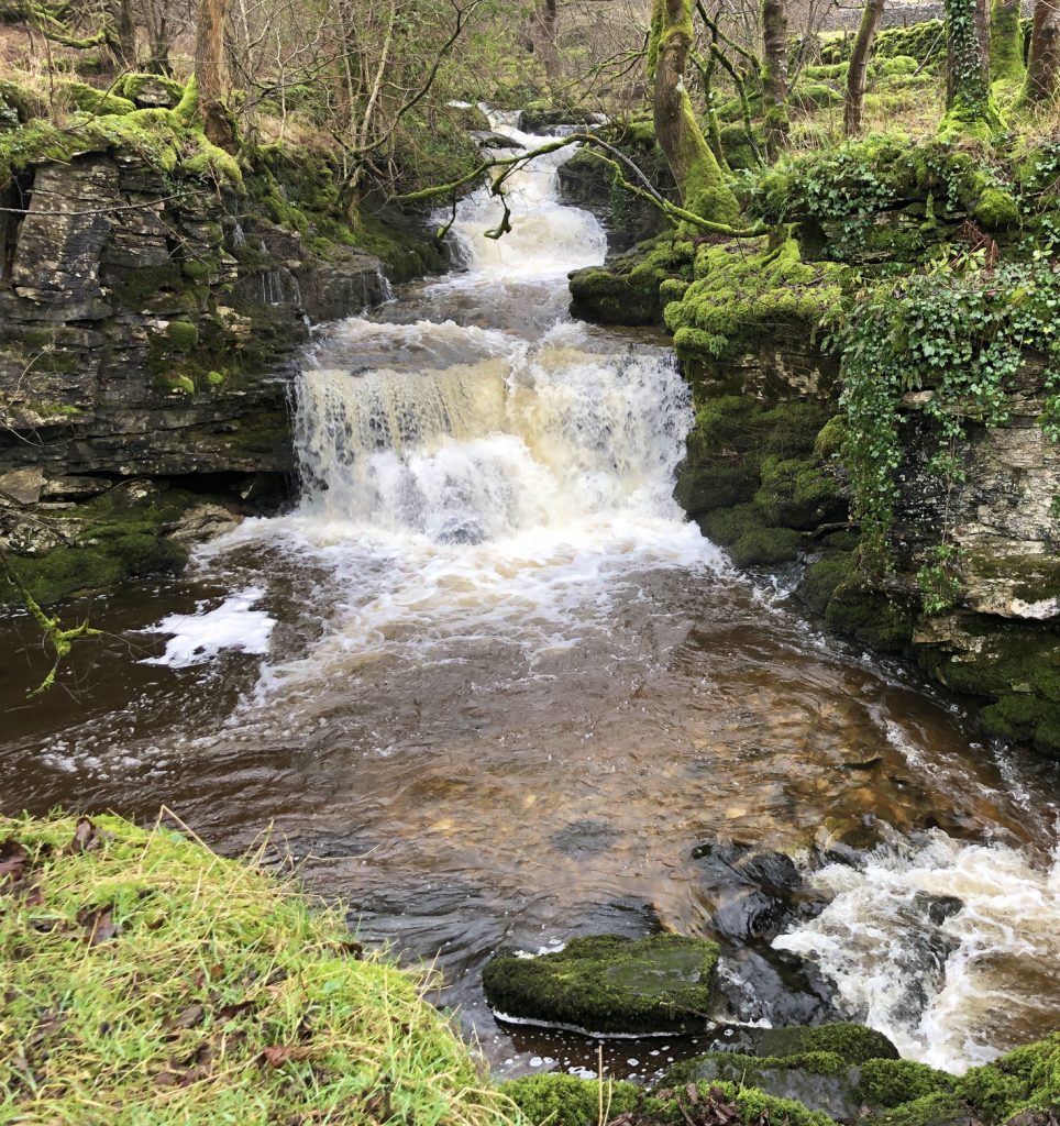
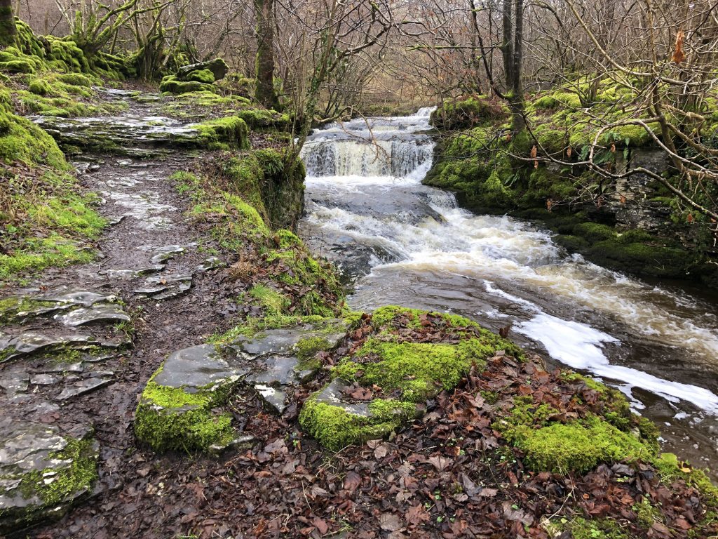
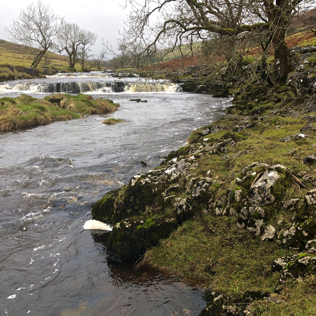
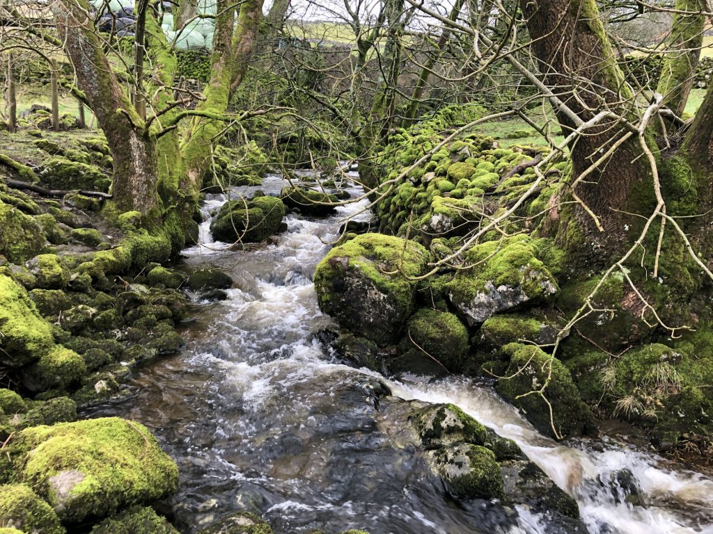
Waterfalls formed by Cray Gill between Hubberholme and Cray.
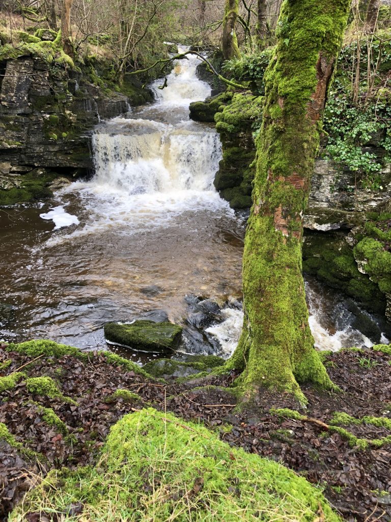
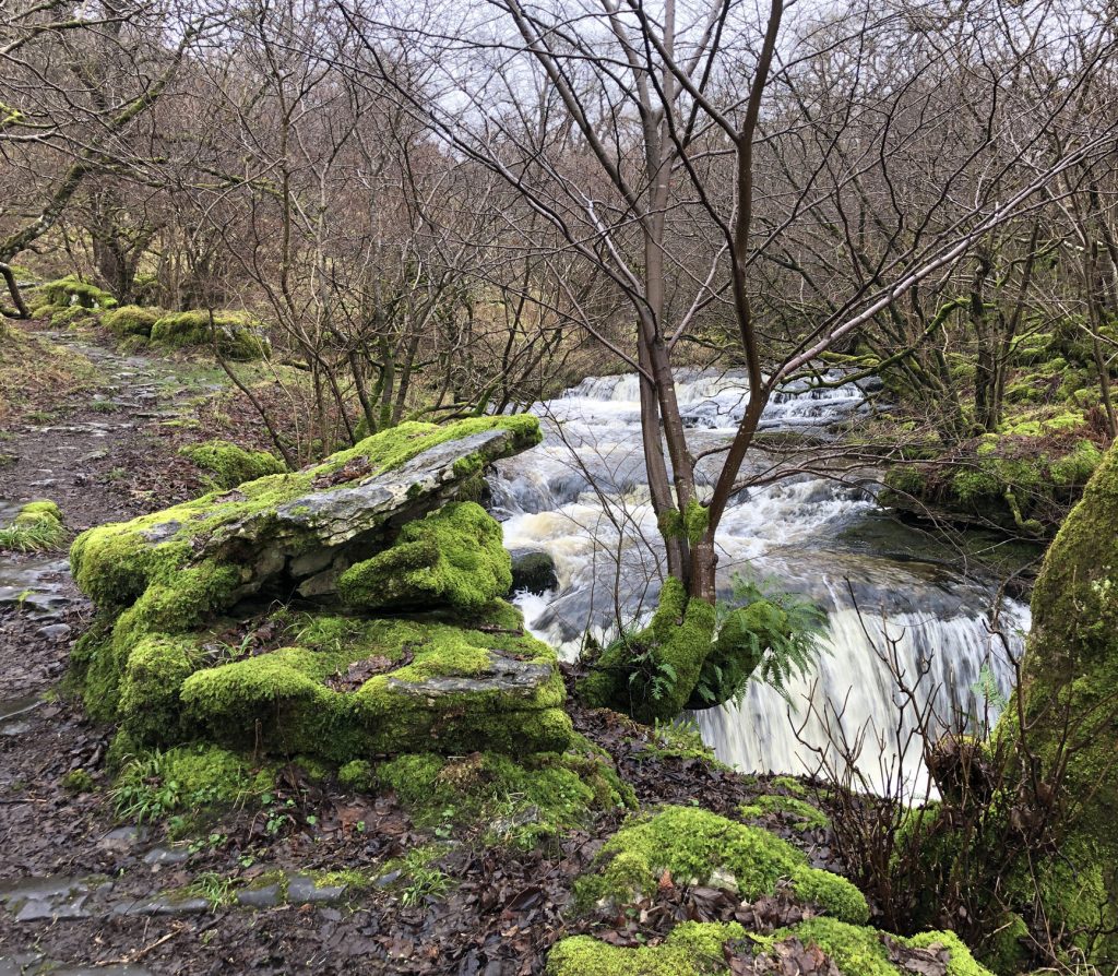
Waterfall created by Crook Gill just before it meets Cray Gill between Hubberholme and Cray.
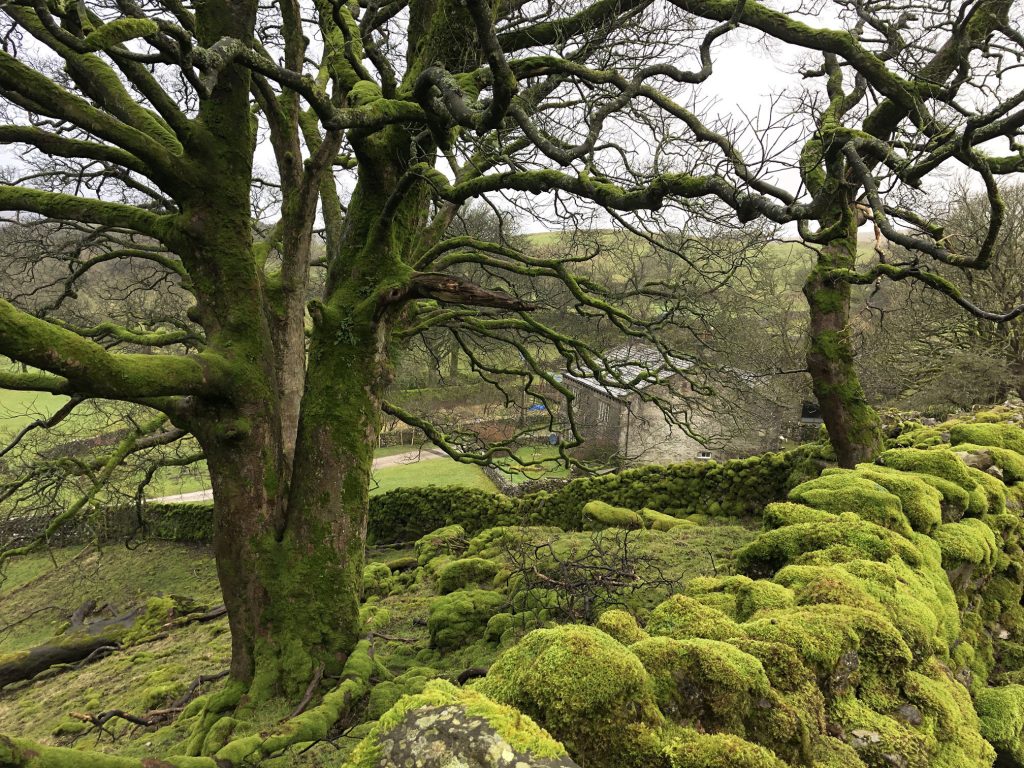
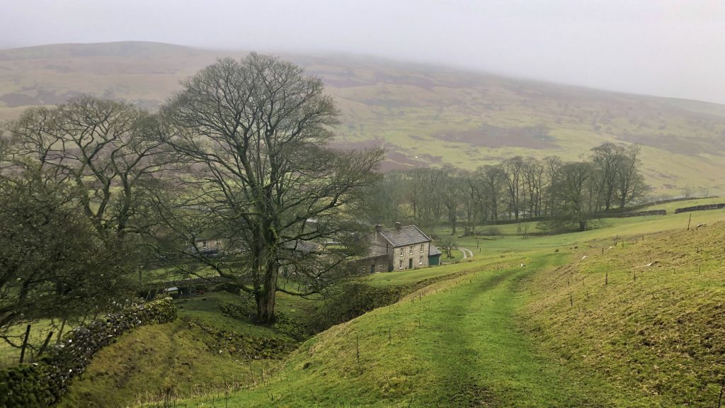
Scar House comes into view between the trees.
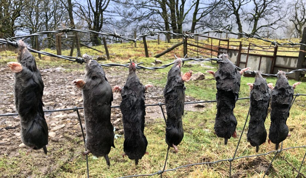
Dead moles hanging on barbed wire. Some mole-catchers say it is a tradition which allows farmers to be sure they pay for the right number of moles caught.
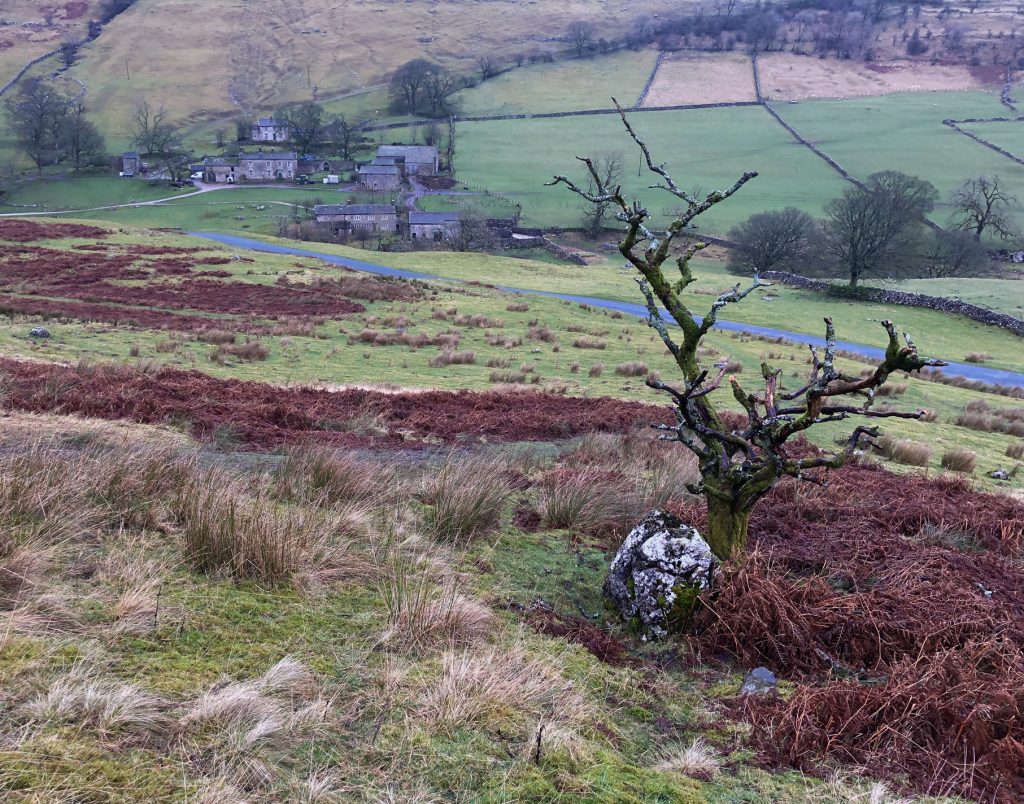
Heading down to the hamlet of Yockenthwaite. I will be at the top of the cloud-covered hill in the background later in the day.
The River Wharfe near Yockenthwaite.
Footbridge over Deepdale Gill in Langstrothdale.
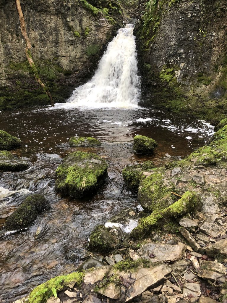
Deepdale Gill in Langstrothdale.
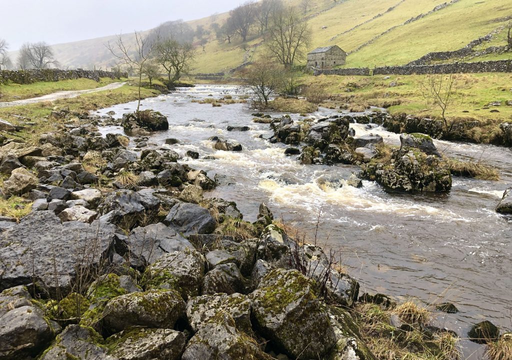
The River Wharfe near Deepdale. This section of the river between Beckermonds and Hubberholme flows through Langstrothdale. After Hubberholme it continues its journey through Wharfedale.
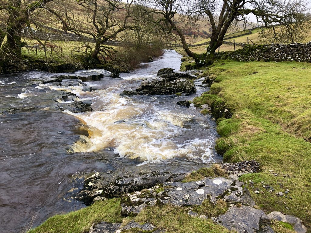
Beckermonds in Langstrothdale. Oughtershaw Beck and Green Field Beck meet to form the River Wharfe, which continues for 65 miles before joining the River Ouse at Cawood.
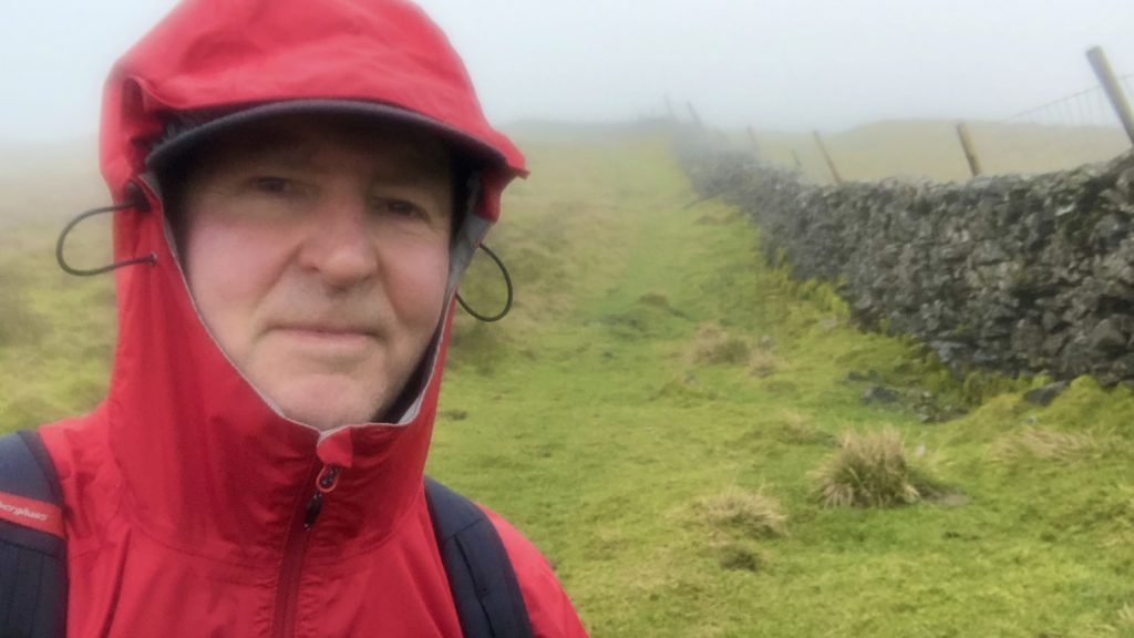
Following the wall across Horse Head to meet A Pennine Journey which will take me back down to Yockenthwaite. At a height of 600 metres (1968 feet) it is foggy today and there are no views.
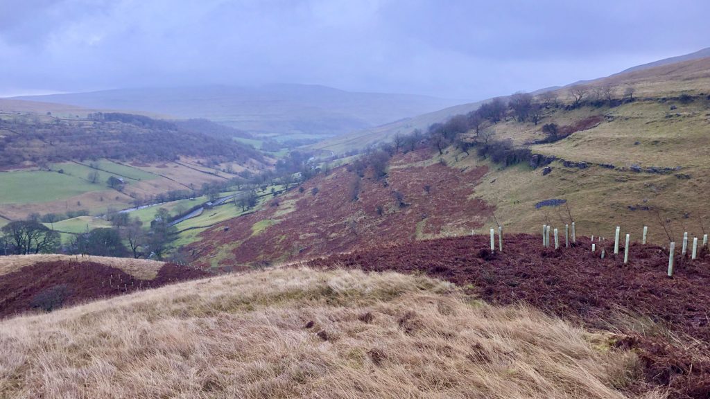
Following A Pennine Journey down to Yockenthwaite. At 500 metres (1640 feet) the fog clears and the Langstrothdale valley is visible.
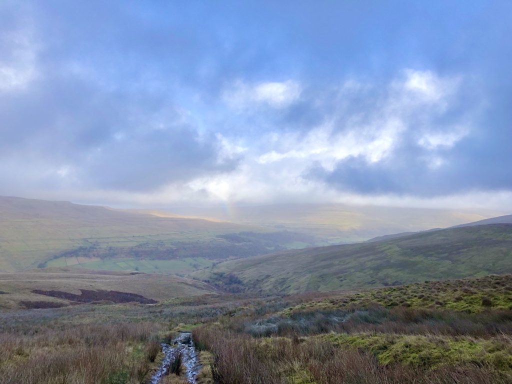
The view east through the Langstrothdale valley with Buckden Pike in the distance.
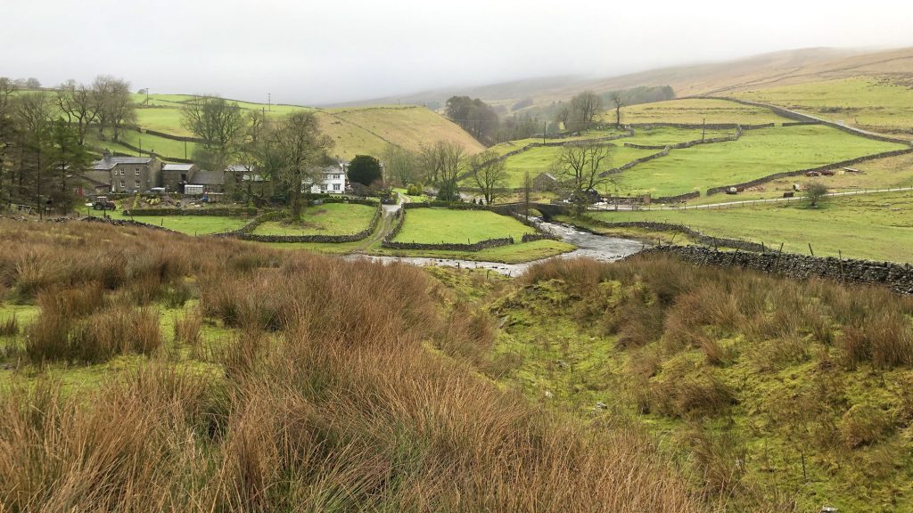
Looking down on Yockenthwaite in Langstrothdale.
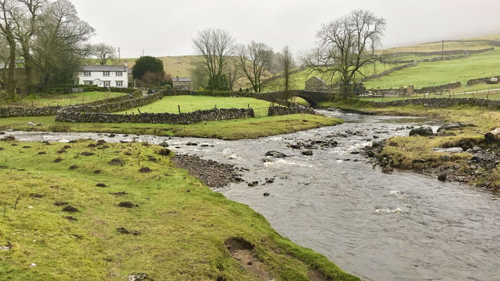
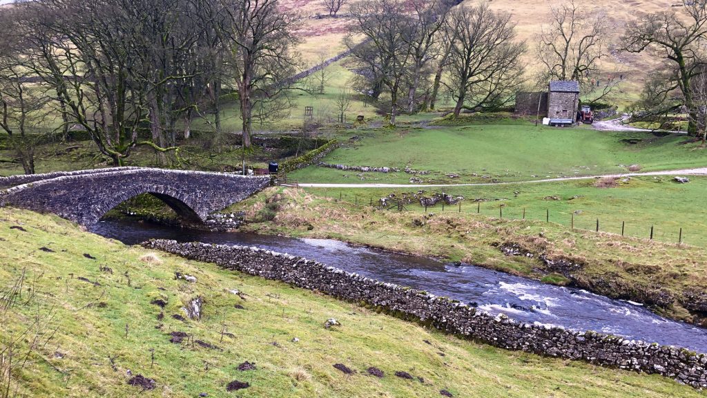
Grade 2 listed 18th-century bridge over the River Wharfe at Yockenthwaite.
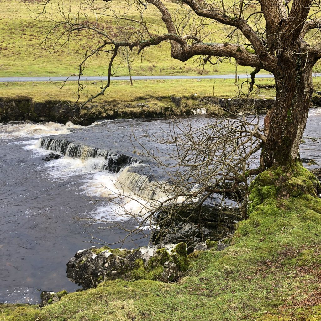
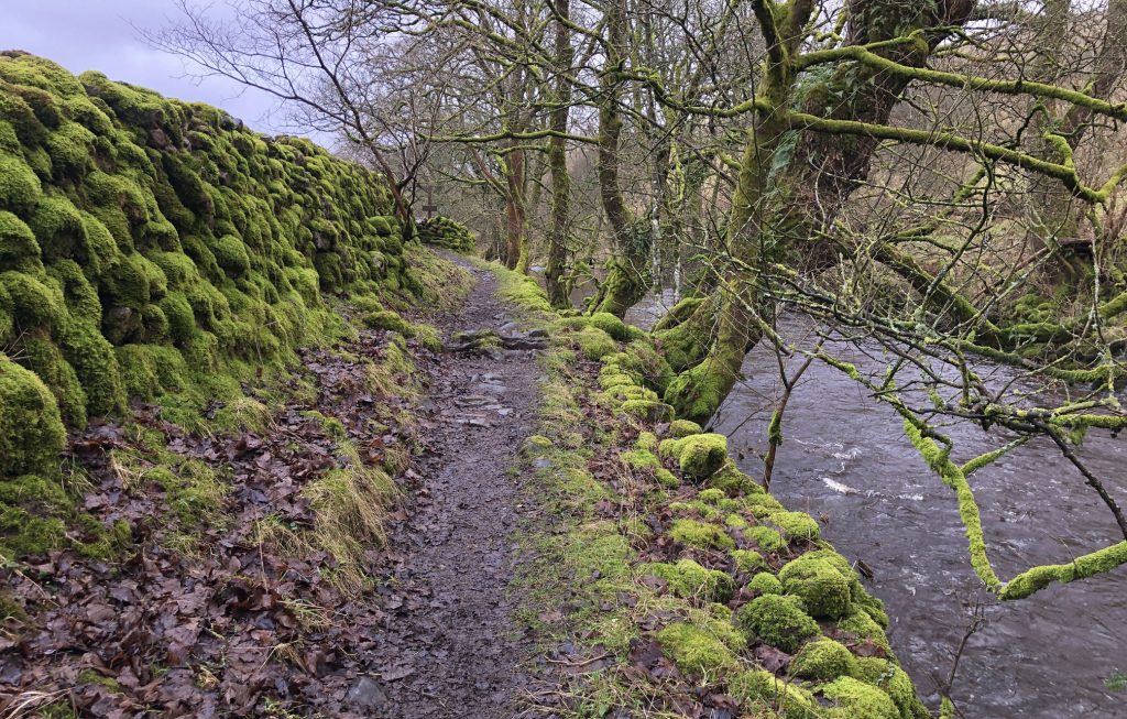
The Dales Way footpath by the side of the River Wharfe between Yockenthwaite and Hubberholme.
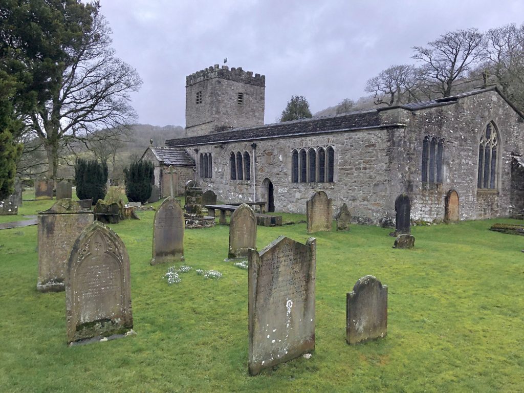
St Michael and All Angels, Hubberholme.